River
Araguaia River
1,910 km from source to mouth · Brazil.
 BrazilFlows into Tocantins River9th longest in Brazil
In numbers
Length
1,910km
Average flow
6,200m³/s
Basin
370,000km²
Drop
653m
from 743 m to 90 m
Country
1
The journey
From source to mouth
1,910 km of river and 23 stops on the way: 10 towns and cities on its banks, dams, bridges and the tributaries that feed it.
- 0 kmSourceat 743 m
- 73 kmAlto Araguaia17,657 people
- 300 kmAragarças20,273 people
- 301 kmDas Garças Rivertributary
- 301 kmBarra do Garças61,135 people
- 348 kmCaiapó Rivertributary
- 501 kmAruanã8,300 people
- 504 kmVermelho Rivertributary
- 504 kmPalmeiras Rivertributary
- 697 kmCrixás Açu Rivertributary
- 904 kmRio das Mortestributary
- 920 kmSão Félix do Araguaia14,332 people
- 1,135 kmJavaés Rivertributary
- 1,198 kmDo Coco Rivertributary
- 1,244 kmSanta Maria das Barreiras21,850 people
- 1,327 kmConceição do Araguaia47,991 people
- 1,379 kmCachoeira Macuzão
- 1,580 kmSão Geraldo do Araguaia24,705 people
- 1,580 kmXambioá11,520 people
- 1,585 kmCachoeira São Miguel
- 1,604 kmCachoeira Santa Cruz
- 1,626 kmCachoeira São João
- 1,628 kmCachoeira de Santa Isabel
- 1,707 kmAraguatins33,205 people
- 1,910 kmTocantins Riverat 90 m
Water level along the river (RiverATLAS; the height is exaggerated). Towns: GeoNames and Wikidata; bridges, dams and tributaries: Wikidata.
River in the Tocantins River Basin in Brazil
At the mouth it carries 6,172 m³/s on average: 2.5 Olympic pools every second. It drops from 743 m to 90 m, 0.3 m per kilometre on average. Its basin covers 370,000 km², about the size of JP. 4.0 million people live in it. Highest water: from February to March; lowest: from July to October. Dams and reservoirs hold back a large share of its water (17% of a year's flow).
Where to start
- Barra do GarçasLargest city on its banks · 61,135 people
- On the water24 ferry piers, marinas, boat rentals and boat ramps along the river (OpenStreetMap)
- From May to AugustThe best months to visit
Araguaia River, month by month
Highest water: from February to March
Lowest water: from July to October. Best months to visit: from May to August.
From about 3,000 m³/s in the lowest month to 21,000 m³/s in the highest. An estimate: the monthly flow is modelled from the lowest and highest months of WaterGAP (RiverATLAS, 1971–2000) and the rain and snow along the river (WorldClim). Dams change the real rhythm. The chip is the average air temperature; below it, the month's rain.
Plan the trip
Plan the trip: boat trips, a bed by the river, a car
Some links above are affiliate links: if you book through them we may earn a commission, at no extra cost to you. It never changes what the data on this page says.
The basin
Araguaia River: the basin in numbers
694,421 km² of land send their water to this river. This is what lives on it.
- 4.0millionpeople live in the basin
- 6/km²people per km²
- 381maverage altitude of the basin
- 1,646mmof rain a year (basin average)
- 25.5°Caverage air temperature
- 13%protected areas
- 0.3%covered by lakes
- 57km³held in reservoirs
What covers the basin
- 18% Forest
- 3% Cropland
- 45% Pasture
RiverATLAS (HydroATLAS v1.0, CC BY 4.0): land cover, people, protected areas, glaciers and dams over the whole basin upstream of the mouth.
Along the river
Araguaia River: what you find on the way
- 9WaterfallsCachoeira dos Padres, Cachoeira Couto Magalhães, Cachoeira Pé da Serra and 6 more
- 1Boat ramps
- 22Ferry piersAraguaiana, Registro do Araguaia, Cocalinho and 19 more
- 1MarinasPorto do Bae
- 7River beachesPraia da Rapadura, Praia Quarto Crescente, Praia and 4 more
From OpenStreetMap, within 2.9 km of the river. Not mapped is not the same as not there.
Cross-checked with our atlases
Araguaia River in our other atlases
What our sister atlases know about the waterfalls on this river, the lakes it flows through, the beaches at its mouth, the mountains where it rises and the islands off its mouth.
 5waterfalls on the riverCascadyas
Waterfalls (5)
On the river, by Cascadyas
- Cachoeira Macuzãokm 1,481
- Cachoeira São Miguelkm 1,702
- Cachoeira Santa Cruzkm 1,722
- Cachoeira São Joãokm 1,746
- Cachoeira de Santa Isabelkm 1,748
Cascadyas is coming soonOpen Cascadyas ↗
From space
The source and the mouth, seen from orbit
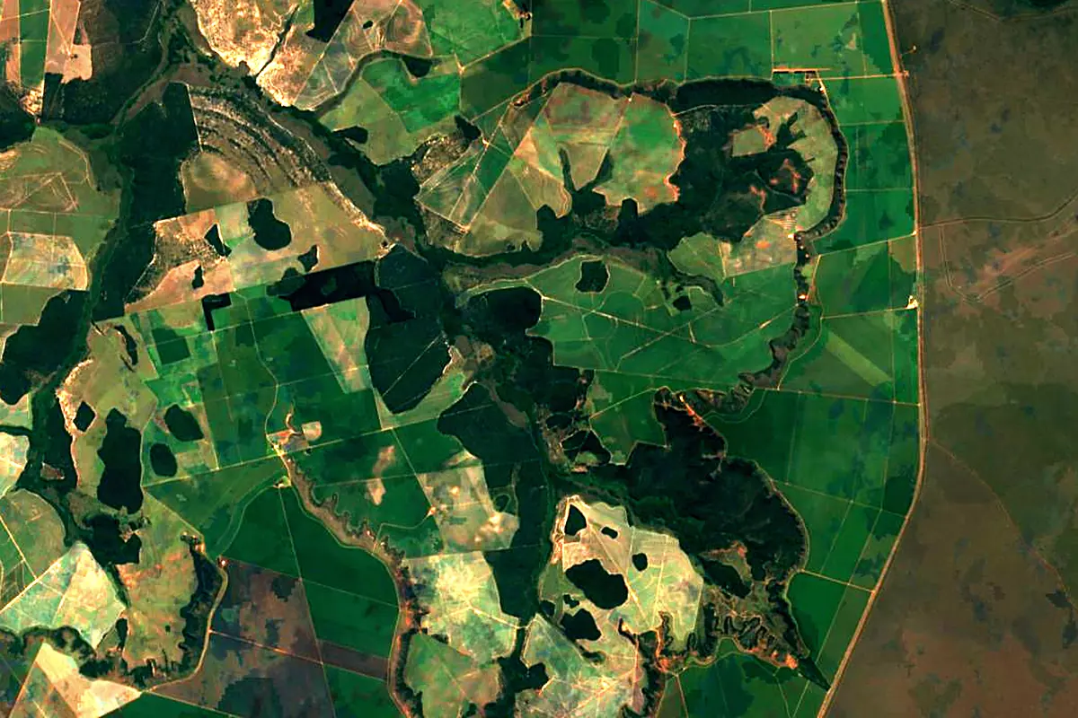
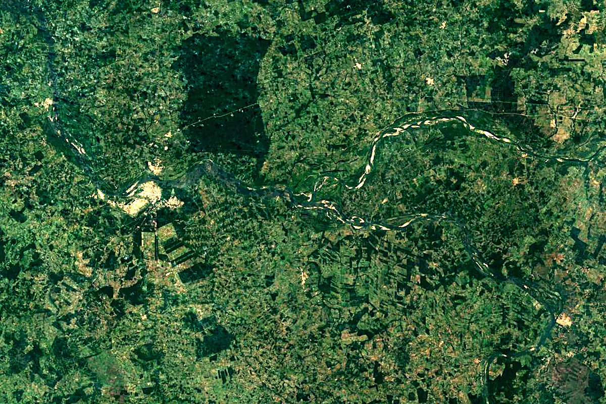
Sentinel-2 cloudless 2016 by EOX IT Services GmbH (contains modified Copernicus Sentinel data 2016), CC BY 4.0. The glowing line is the river as drawn by RiverATLAS.
Photos
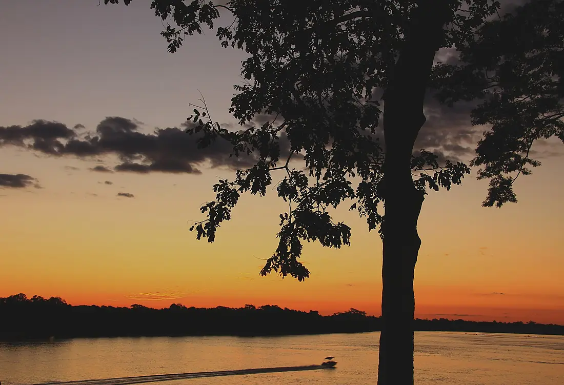
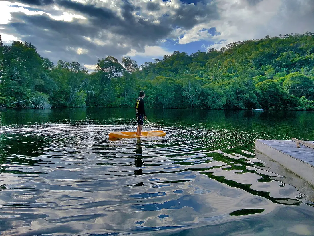
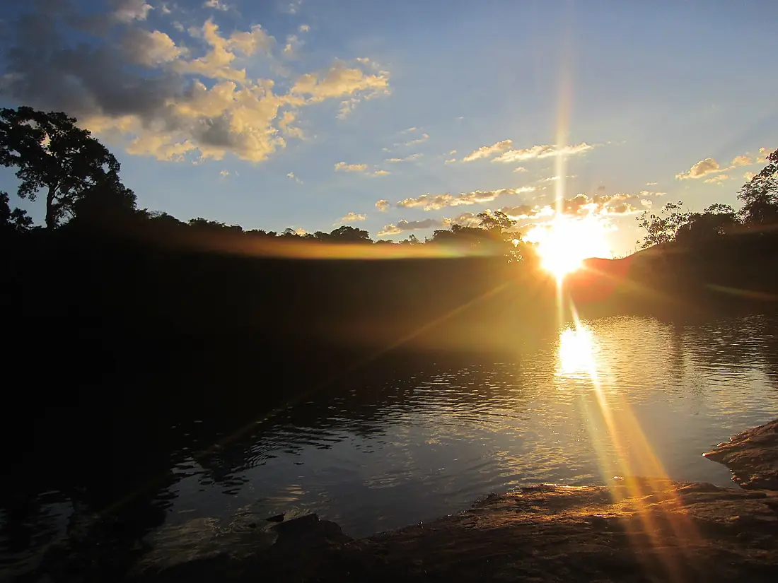
Araguaia River in pictures

Tributaries
Where it flows, and what flows into it
Tributaries (31)
Also: Javaés River, Rio das Mortes, Crixás Açu River, Das Garças River, Vermelho River, Do Coco River, Caiapó River, Palmeiras River, Bananal River, Barreiros River, Caiapó River, Das Cunhãs River, Lontra River, Peixe River, Tapirapé River, Babilônia River, Campo Alegre River, Claro River, Diamantina River, Diamantino River, Inajá River, Juari River, Muricizal River, Peixe River
Nearby
Rivers nearby
Where these numbers come from
| Name, length, places | Wikidata (Q171847) · CC0 |
|---|---|
| Course, profile, basin | RiverATLAS v1.0 (HydroATLAS, Linke et al. 2019) · CC BY 4.0 — followed from the source to the mouth given by Wikidata |
| Flow | WaterGAP (RiverATLAS), 1971–2000 · CC BY 4.0 |
| Climate along the river | WorldClim (RiverATLAS), 1970–2000 · CC BY 4.0 |
| Towns, bridges, dams | Wikidata · CC0; GeoNames · CC BY 4.0 |
| Along the river | © OpenStreetMap contributors · ODbL |
| Images | EOX Sentinel-2 cloudless 2016 · CC BY 4.0; Wikimedia Commons |
| Our other atlases | Cascadyas — Wikidata · CC0; © OpenStreetMap contributors · ODbL; GeoNames · CC BY 4.0; HydroLAKES · CC BY 4.0; NOAA OISST |
Every source and licence is on the data sources page.
The family
Do you prefer beaches, lakes, mountains, waterfalls, islands, rivers or canyons?
Same idea, other landscapes: field atlases built on open data, month by month, in seven languages.
 beaches
 Find your beach: sea temperature, sun and swimming month by month.Visit
  lakes
lakes Every lake on Earth: water temperature, ice, depth and the shore.Coming soonVisit
  mountains
 Every summit in 3D: summit weather, the 0 °C line, huts and trails.Visit waterfalls
 Every waterfall: height, flow month by month and when it roars.Coming soonVisit
  islands
 Every island from the sea up: size, sea temperature, ferries and 3D.Coming soonVisit
  rivers
 Every river from source to sea: the journey, the flow and the basin in numbers.You are here
 canyons
 Every canyon cut to scale: depth to the floor, rim and floor temperatures, trails and viewpoints.Coming soonVisit