River
Cagayan River
505 km from source to mouth · Philippines.
 PhilippinesFlows into Luzon Strait1st longest in Philippines
In numbers
Length
505km
Average flow
1,200m³/s
Basin
25,649km²
Drop
787m
from 786 m to -1 m
Country
1
The journey
From source to mouth
505 km of river and 41 stops on the way: 34 towns and cities on its banks, dams, bridges and the tributaries that feed it.
- 0 kmSourceat 786 m
- 87 kmNagtipunan5,682 people
- 112 kmMaddela9,751 people
- 137 kmMasaya Sur5,523 people
- 151 kmJones5,227 people
- 188 kmSoyung5,418 people
- 190 kmEchague8,058 people
- 217 kmAngadanan4,487 people
- 261 kmReina Mercedes6,227 people
- 265 kmNaguilian8,560 people
- 268 kmGamu5,545 people
- 270 kmMagat Rivertributary
- 276 kmUpi5,647 people
- 283 kmAlibago4,446 people
- 289 kmIlagan164,020 people
- 290 kmIlagan Rivertributary
- 295 kmSan Pedro3,027 people
- 313 kmTumauini3,573 people
- 323 kmRagan Norte4,217 people
- 324 kmBulu3,149 people
- 340 kmCabagan25,304 people
- 346 kmCabagan–Santa Maria Bridge
- 347 kmSanta Maria3,736 people
- 371 kmTuguegarao167,297 people
- 376 kmEnrile9,650 people
- 376 kmPinacanauan Rivertributary
- 382 kmBuntun Bridge
- 387 kmSolana71,475 people
- 387 kmAtulayan6,374 people
- 389 kmNattapian11,867 people
- 390 kmLanna3,439 people
- 400 kmIguig3,274 people
- 401 kmDassun6,030 people
- 429 kmAfusing Centro3,541 people
- 434 kmAlcala4,667 people
- 454 kmChico Rivertributary
- 463 kmGattaran3,613 people
- 471 kmMagapit, Aguiguican13,659 people
- 473 kmMagapit Suspension Bridge
- 474 kmMagapit11,235 people
- 478 kmCatayauan3,843 people
- 482 kmSan Antonio805 people
- 505 kmLuzon Straitat -1 m
Water level along the river (RiverATLAS; the height is exaggerated). Towns: GeoNames and Wikidata; bridges, dams and tributaries: Wikidata.
Longest and largest river in the Philippines
At the mouth it carries 1,229 m³/s on average: an Olympic pool every 2.0 seconds. It drops from 786 m to -1 m, 1.6 m per kilometre on average. Its basin covers 25,649 km², about the size of MK. 3.3 million people live in it. Highest water: from November to December; lowest: from February to May. Its dams hold back little of its water (2.6% of a year's flow).
Where to start
- TuguegaraoLargest city on its banks · 167,297 people
- Tuguegarao Airport (TUG)Nearest airport with scheduled flights, 3 km from the cityCar hire at CRK airport (Mabalacat)Discover Cars · Affiliate link↗
- On the water8 ferry piers, marinas, boat rentals and boat ramps along the river (OpenStreetMap)
- Kayak and canoe1 put-ins and rapids mapped (OpenStreetMap)
- From January to FebruaryThe best months to visit
Cagayan River, month by month
Highest water: from November to December
Lowest water: from February to May. Best months to visit: from January to February.
From about 250 m³/s in the lowest month to 2,600 m³/s in the highest. An estimate: the monthly flow is modelled from the lowest and highest months of WaterGAP (RiverATLAS, 1971–2000) and the rain and snow along the river (WorldClim). Dams change the real rhythm. The chip is the average air temperature; below it, the month's rain.
Plan the trip
Plan the trip: boat trips, a bed by the river, a car
Some links above are affiliate links: if you book through them we may earn a commission, at no extra cost to you. It never changes what the data on this page says.
The basin
Cagayan River: the basin in numbers
27,710 km² of land send their water to this river. This is what lives on it.
- 3.3millionpeople live in the basin
- 124/km²people per km²
- 521maverage altitude of the basin
- 2,386mmof rain a year (basin average)
- 24.4°Caverage air temperature
- 18%protected areas
- 0.1%covered by lakes
- 1.0km³held in reservoirs
What covers the basin
- 36% Forest
- 20% Cropland
- 6% Towns and cities
RiverATLAS (HydroATLAS v1.0, CC BY 4.0): land cover, people, protected areas, glaciers and dams over the whole basin upstream of the mouth.
Along the river
Cagayan River: what you find on the way
- 2Weirs
- 1RapidsGovernor's Rapid
- 6Ferry piersCabagan Ferryboat Station, Eagle Ferry Terminal and 4 more
- 2Marinas
From OpenStreetMap, within 2.1 km of the river. Not mapped is not the same as not there.
Cross-checked with our atlases
Cagayan River in our other atlases
What our sister atlases know about the waterfalls on this river, the lakes it flows through, the beaches at its mouth, the mountains where it rises and the islands off its mouth.
 5mountains at the sourcePeakyas
Mountains at the source (5)
Within 15 km of the source, by Peakyas
- Mount Kiligantian10 km away
- Mount Santa Clara13 km away
- Mount Naminudut15 km away
- Mount Nadumular14 km away
- Mount Kanabuy13 km away
From space
The source and the mouth, seen from orbit
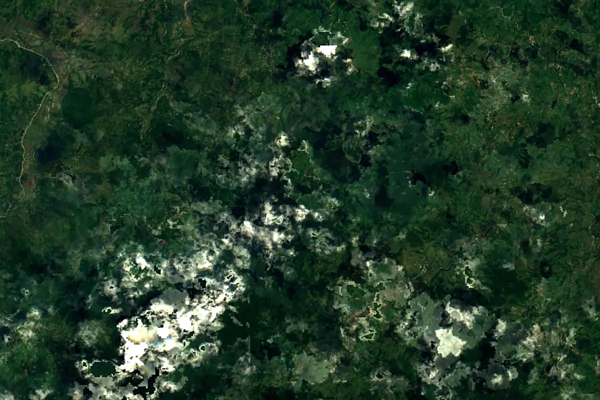
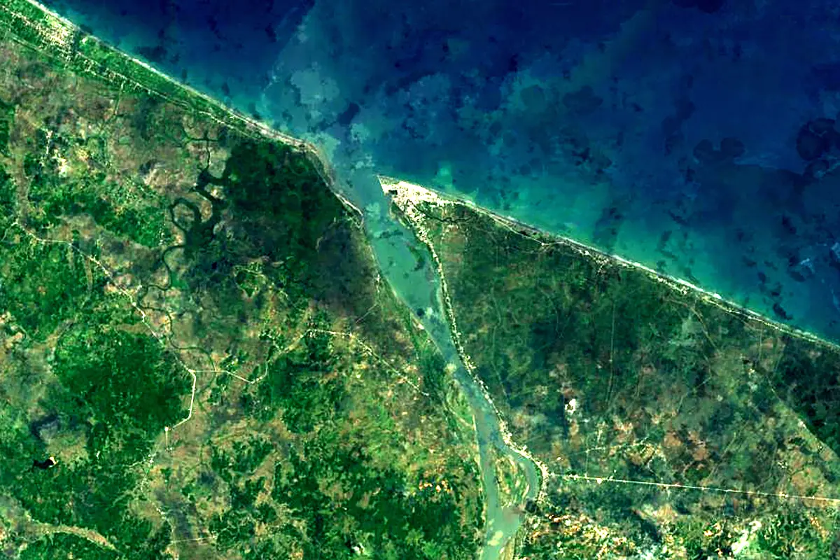
Sentinel-2 cloudless 2016 by EOX IT Services GmbH (contains modified Copernicus Sentinel data 2016), CC BY 4.0. The glowing line is the river as drawn by RiverATLAS.
Photos
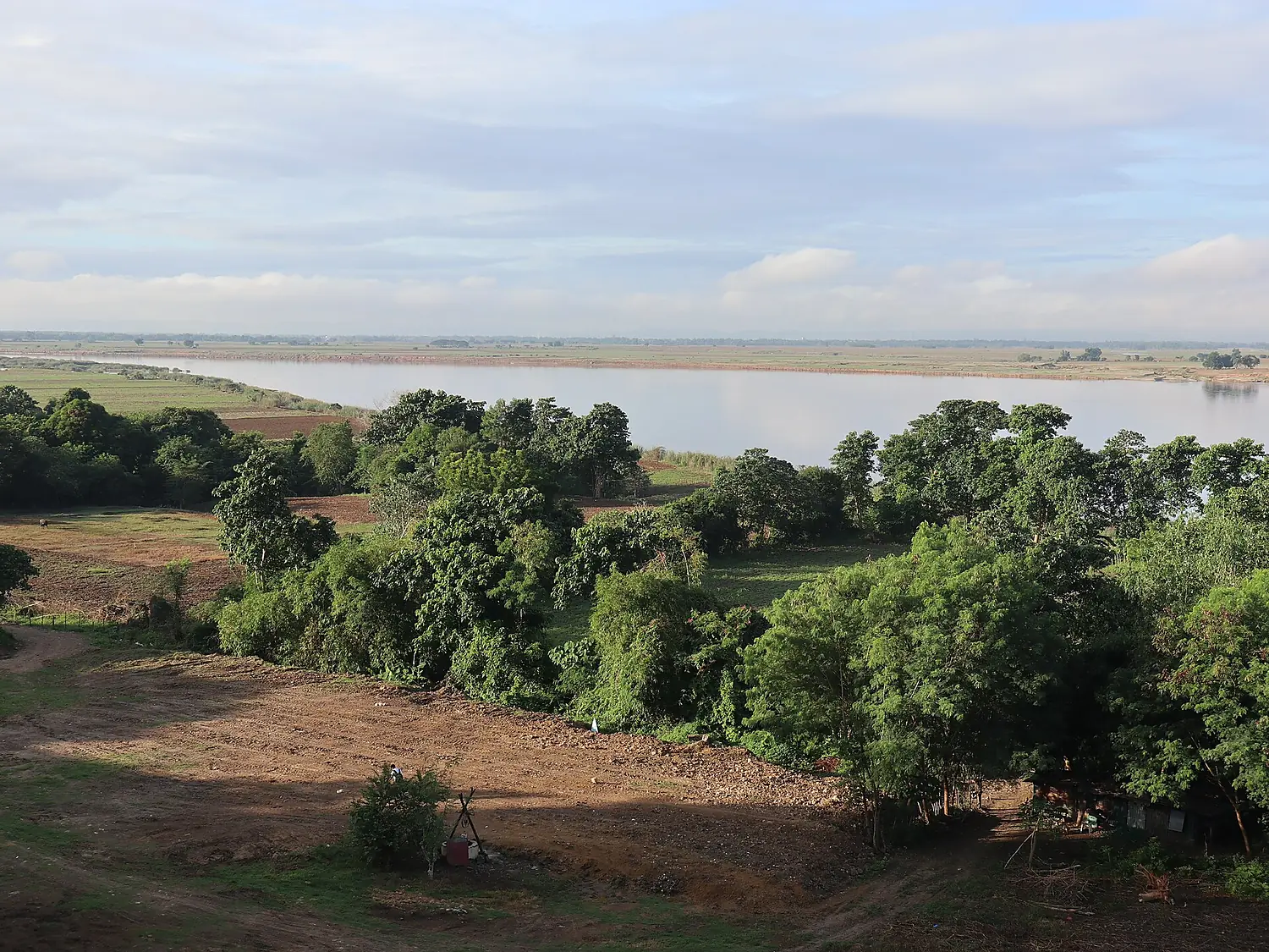
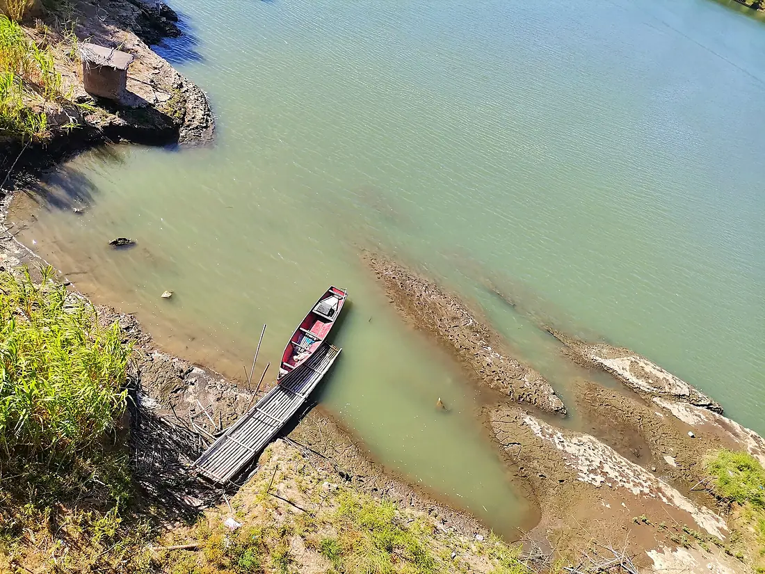
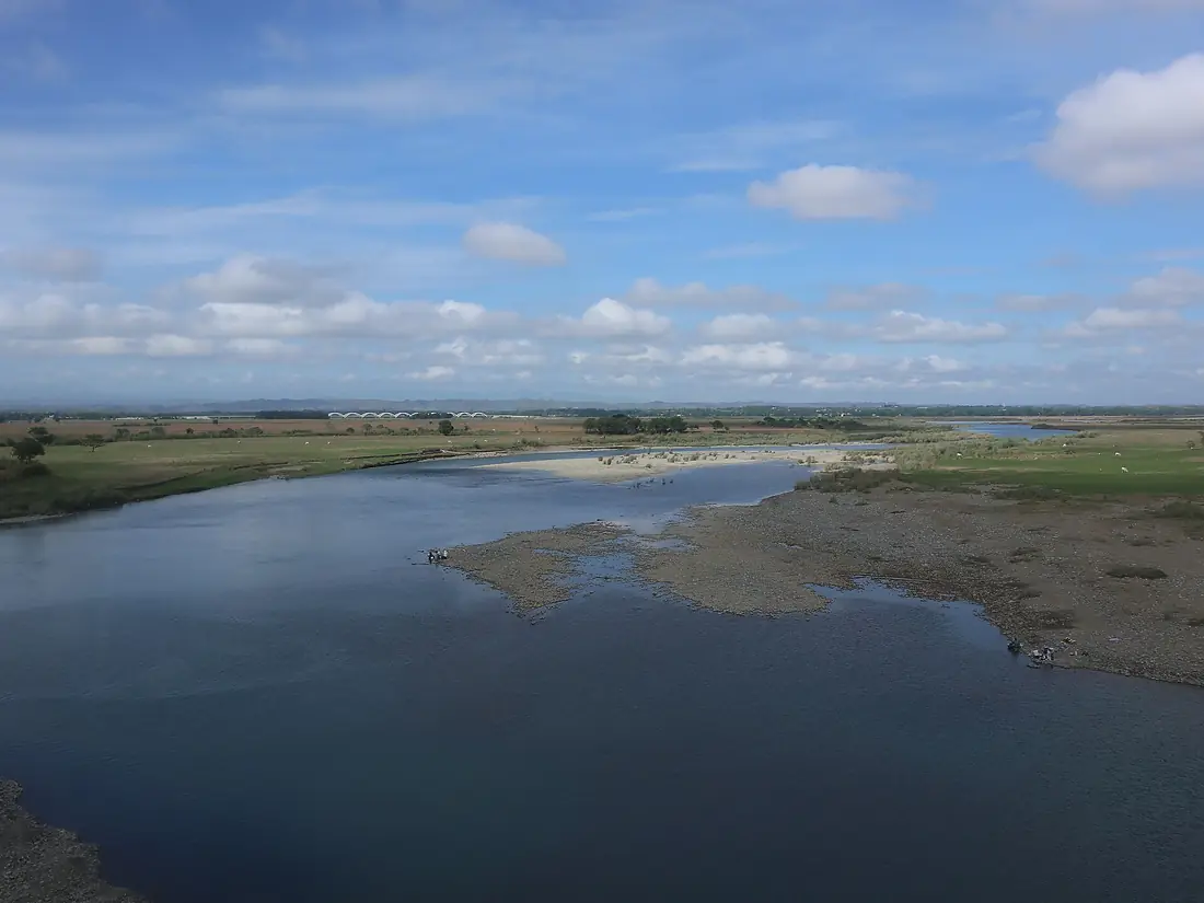
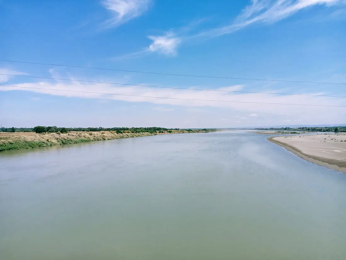
Cagayan River in pictures
Tributaries
Where it flows, and what flows into it
Tributaries (4)
Also: Magat River, Chico River, Ilagan River, Pinacanauan River
 Taiwan
Where these numbers come from
| Name, length, places | Wikidata (Q545808) · CC0 |
|---|---|
| Course, profile, basin | RiverATLAS v1.0 (HydroATLAS, Linke et al. 2019) · CC BY 4.0 — followed from the source to the mouth given by Wikidata |
| Flow | WaterGAP (RiverATLAS), 1971–2000 · CC BY 4.0 |
| Climate along the river | WorldClim (RiverATLAS), 1970–2000 · CC BY 4.0 |
| Towns, bridges, dams | Wikidata · CC0; GeoNames · CC BY 4.0 |
| Along the river | © OpenStreetMap contributors · ODbL |
| Images | EOX Sentinel-2 cloudless 2016 · CC BY 4.0; Wikimedia Commons |
| Our other atlases | Peakyas — Wikidata · CC0; © OpenStreetMap contributors · ODbL; GeoNames · CC BY 4.0; HydroLAKES · CC BY 4.0; NOAA OISST |
Every source and licence is on the data sources page.
The family
Do you prefer beaches, lakes, mountains, waterfalls, islands, rivers or canyons?
Same idea, other landscapes: field atlases built on open data, month by month, in seven languages.
 beaches
 Find your beach: sea temperature, sun and swimming month by month.Visit
  lakes
lakes Every lake on Earth: water temperature, ice, depth and the shore.Coming soonVisit mountains
 Every summit in 3D: summit weather, the 0 °C line, huts and trails.Visit
  waterfalls
 Every waterfall: height, flow month by month and when it roars.Coming soonVisit
  islands
 Every island from the sea up: size, sea temperature, ferries and 3D.Coming soonVisit
  rivers
 Every river from source to sea: the journey, the flow and the basin in numbers.You are here
 canyons
 Every canyon cut to scale: depth to the floor, rim and floor temperatures, trails and viewpoints.Coming soonVisit