Stream
Chattahoochee
702 km from source to mouth · United States.
 United StatesFlows into Apalachicola River
In numbers
Length
702km
Average flow
290m³/s
Basin
22,714km²
Drop
387m
from 408 m to 21 m
Country
1
The journey
From source to mouth
702 km of river and 24 stops on the way: 12 towns and cities on its banks, dams, bridges and the tributaries that feed it.
- 0 kmSourceat 408 m
- 2 kmHelen, Georgia531 people
- 5 kmNacoochee Mound
- 104 kmLake Lanier134 km²
- 108 kmVickery Creektributary
- 119 kmSuwanee18,694 people
- 128 kmJohns Creek83,335 people
- 130 kmDuluth29,193 people
- 154 kmRoswell94,501 people
- 160 kmBull Sluice Lake1.0 km²
- 165 kmSandy Springs105,330 people
- 177 kmVinings9,734 people
- 206 kmDick Lane Bridge
- 345 kmWest Point Lake90 km²
- 351 kmWest Point3,719 people
- 361 kmValley9,464 people
- 385 kmLake Harding19 km²
- 408 kmGoat Rock Lake6.6 km²
- 411 kmColumbus206,922 people
- 414 kmPhenix City38,816 people
- 511 kmEufaula12,596 people
- 511 kmChattahoochee River Bridge (GSWR)
- 544 kmWalter F. George Lake126 km²
- 600 kmCalhoun Pond0.3 km²
- 672 kmLake Seminole84 km²
- 702 kmApalachicola Riverat 21 m
Water level along the river (RiverATLAS; the height is exaggerated). Towns: GeoNames and Wikidata; bridges, dams and tributaries: Wikidata.
River in the United States
At the mouth it carries 286 m³/s on average: an Olympic pool every 8.7 seconds. It drops from 408 m to 21 m, 0.6 m per kilometre on average. Its basin covers 22,714 km², about the size of BZ. 3.7 million people live in it. Highest water: from February to March. Dams and reservoirs hold back a large share of its water (30% of a year's flow).
Where to start
- ColumbusLargest city on its banks · 206,922 people
- Columbus Airport (CSG)Nearest airport with scheduled flights, 3 km from the cityCar hire at ATL airport (Atlanta)Discover Cars · Affiliate link↗
- On the water148 ferry piers, marinas, boat rentals and boat ramps along the river (OpenStreetMap)
- Kayak and canoe2 put-ins and rapids mapped (OpenStreetMap)
- From April to June and from September to OctoberThe best months to visit
Chattahoochee, month by month
Highest water: from February to March
Best months to visit: from April to June and from September to October.
From about 220 m³/s in the lowest month to 1,400 m³/s in the highest. An estimate: the monthly flow is modelled from the lowest and highest months of WaterGAP (RiverATLAS, 1971–2000) and the rain and snow along the river (WorldClim). Dams change the real rhythm. The chip is the average air temperature; below it, the month's rain.
Plan the trip
Plan the trip: boat trips, a bed by the river, a car
Some links above are affiliate links: if you book through them we may earn a commission, at no extra cost to you. It never changes what the data on this page says.
The basin
Chattahoochee: the basin in numbers
44,606 km² of land send their water to this river. This is what lives on it.
- 3.7millionpeople live in the basin
- 85/km²people per km²
- 175maverage altitude of the basin
- 1,314mmof rain a year (basin average)
- 17.5°Caverage air temperature
- 1%protected areas
- 1.3%covered by lakes
- 6.1km³held in reservoirs
What covers the basin
- 59% Forest
- 22% Cropland
- 4% Pasture
- 8% Towns and cities
RiverATLAS (HydroATLAS v1.0, CC BY 4.0): land cover, people, protected areas, glaciers and dams over the whole basin upstream of the mouth.
Along the river
Chattahoochee: what you find on the way
- 8WeirsRoswell Mill Dam, Langdale Dam, Crow Hop Dam and 5 more
- 9LocksWalter F. George Lock, George W. Andrews Lock, Jim Woodruff Lock and 6 more
- 4WaterfallsAlana Falls, Water Wheel, Vickery Creek Falls and 1 more
- 2Rapids
- 141Boat rampsShady Grove Campground Boat Launch, Abbotts Bridge Ramp, Medlock Bridge Ramp and 138 more
- 6MarinasPort Royale, Sunrise Cove Marina, Holiday On Lake Lanier and 3 more
- 6River beachesBuck Shoals Beach, Berkeley Lake Beach, Aarlington Beach and 3 more
From OpenStreetMap, within 2.2 km of the river. Not mapped is not the same as not there.
Cross-checked with our atlases
Chattahoochee in our other atlases
What our sister atlases know about the waterfalls on this river, the lakes it flows through, the beaches at its mouth, the mountains where it rises and the islands off its mouth.
 8lakes on its wayLakeyas
 117mountains at the sourcePeakyas
Lakes and reservoirs (8)
Lakes it flows through, by Lakeyas
- Lake Lanierkm 95134km²
- Bull Sluice Lakekm 1471.0km²
- West Point Lakekm 31690km²
- Lake Hardingkm 35219km²
- Goat Rock Lakekm 3736.6km²
- Walter F. George Lakekm 498126km²
- Calhoun Pondkm 5490.3km²
- Lake Seminolekm 614 · 9 m deep84km²
Lakeyas is coming soonOpen Lakeyas ↗
Mountains at the source (117)
Within 15 km of the source, by Peakyas
- Brasstown Bald5.8 km away · prominence 643 m1,458m
- Tray Mountain10 km away1,350m
- Double Spring Knob14 km away1,304m
- Wolfpen Ridge4.6 km away1,390m
- Young Lick13 km away · prominence 85 m1,161m
- Cowrock Mountain13 km away1,174m
- Wildcat Mountain12 km away1,146m
- Jacks Knob0.3 km away1,162m
109 more on PeakyasOpen Peakyas ↗
From space
The source and the mouth, seen from orbit
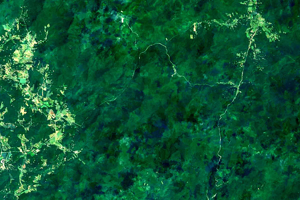
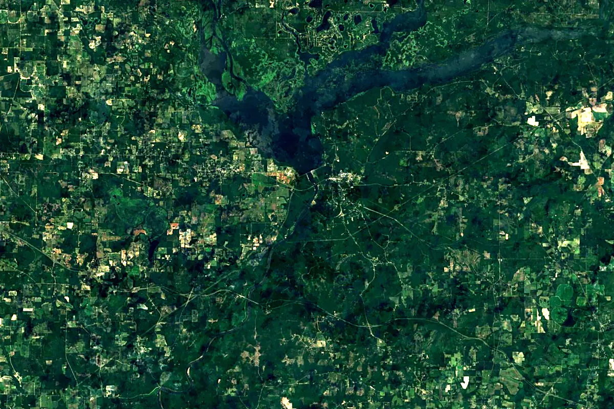
Sentinel-2 cloudless 2016 by EOX IT Services GmbH (contains modified Copernicus Sentinel data 2016), CC BY 4.0. The glowing line is the river as drawn by RiverATLAS.
Photos
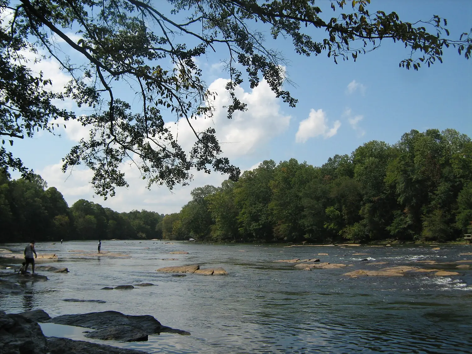
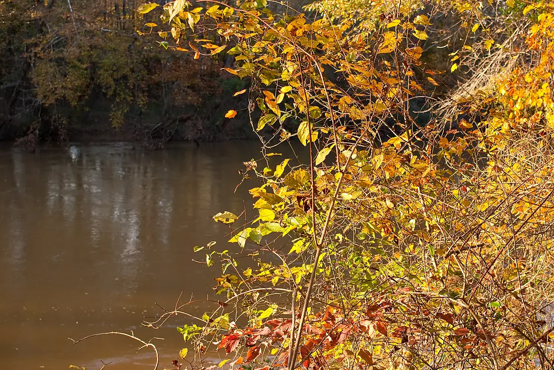
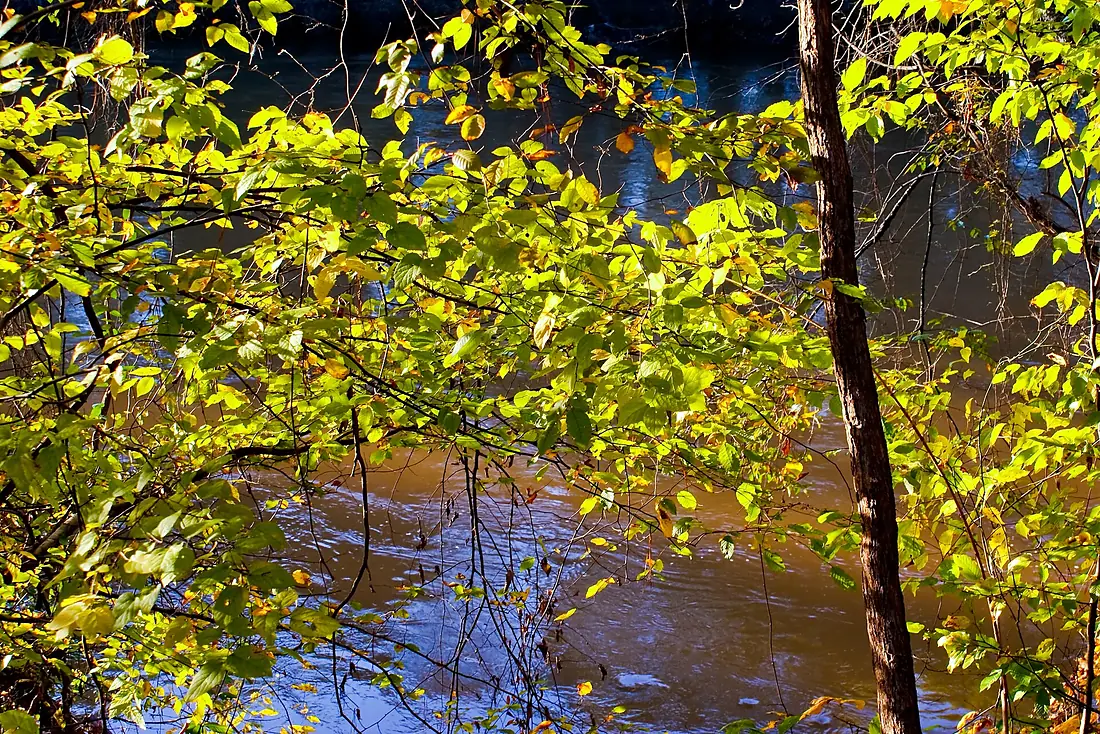
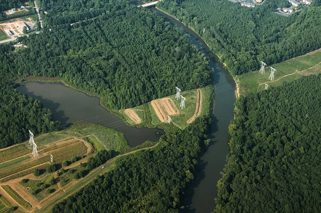
Chattahoochee in pictures
Tributaries
Where it flows, and what flows into it
It flows into
Apalachicola RiverUnited States180 km470 m³/sTributaries (14)
Also: Vickery Creek, Camp Creek, Dog River, Johns Creek, Peachtree Creek, Sope Creek, Soque River, Sweetwater Creek, Upatoi Creek, New River, Chickamauga Creek, Cemochechobee Creek, Centralhatchee Creek, Mulberry Creek
In the same basin
Nearby
Rivers nearby
United States240 km640 m³/s0 km awayAlabama RiverUnited States640 km950 m³/s298 km awayMobile RiverUnited States72 km1,900 m³/s303 km awaySt. Johns RiverUnited States499 km420 m³/s330 km awayMississippi RiverUnited States3,766 km12,700 m³/s459 km awaySavannah RiverUnited States563 km360 m³/s400 km awayWhere these numbers come from
| Name, length, places | Wikidata (Q1068297) · CC0 |
|---|---|
| Course, profile, basin | RiverATLAS v1.0 (HydroATLAS, Linke et al. 2019) · CC BY 4.0 — followed from the source to the mouth given by Wikidata |
| Flow | WaterGAP (RiverATLAS), 1971–2000 · CC BY 4.0 |
| Climate along the river | WorldClim (RiverATLAS), 1970–2000 · CC BY 4.0 |
| Towns, bridges, dams | Wikidata · CC0; GeoNames · CC BY 4.0 |
| Along the river | © OpenStreetMap contributors · ODbL |
| Images | EOX Sentinel-2 cloudless 2016 · CC BY 4.0; Wikimedia Commons |
| Our other atlases | Lakeyas, Peakyas — Wikidata · CC0; © OpenStreetMap contributors · ODbL; GeoNames · CC BY 4.0; HydroLAKES · CC BY 4.0; NOAA OISST |
Every source and licence is on the data sources page.
The family
Do you prefer beaches, lakes, mountains, waterfalls, islands, rivers or canyons?
Same idea, other landscapes: field atlases built on open data, month by month, in seven languages.
 beaches
 Find your beach: sea temperature, sun and swimming month by month.Visit lakes
 Every lake on Earth: water temperature, ice, depth and the shore.Coming soonVisit mountains
 Every summit in 3D: summit weather, the 0 °C line, huts and trails.Visit
  waterfalls
 Every waterfall: height, flow month by month and when it roars.Coming soonVisit
  islands
 Every island from the sea up: size, sea temperature, ferries and 3D.Coming soonVisit
  rivers
 Every river from source to sea: the journey, the flow and the basin in numbers.You are here
 canyons
 Every canyon cut to scale: depth to the floor, rim and floor temperatures, trails and viewpoints.Coming soonVisit