River
Paraíba do Sul River
1,137 km from source to mouth · Brazil.
 BrazilFlows into Atlantic Ocean
In numbers
Length
1,137km
Average flow
840m³/s
Basin
60,000km²
Drop
1,115m
from 1,115 m to 0 m
Country
1
The journey
From source to mouth
1,137 km of river and 43 stops on the way: 33 towns and cities on its banks, dams, bridges and the tributaries that feed it.
- 0 kmSourceat 1,115 m
- 107 kmSão Luís do Paraitinga10,337 people
- 169 kmParaibuna Rivertributary
- 173 kmParaibuna17,667 people
- 194 kmCachoeira Funil
- 215 kmSanta Branca13,975 people
- 237 kmGuararema31,236 people
- 261 kmJacareí250,952 people
- 283 kmSão José dos Campos727,078 people
- 313 kmCaçapava100,071 people
- 344 kmTremembé47,714 people
- 359 kmPindamonhangaba172,681 people
- 389 kmPotim20,392 people
- 392 kmAparecida36,185 people
- 397 kmGuaratinguetá118,044 people
- 414 kmLorena89,125 people
- 431 kmCachoeira Paulista31,564 people
- 447 kmCruzeiro82,571 people
- 473 kmQueluz9,159 people
- 513 kmItatiaia32,694 people
- 529 kmResende137,697 people
- 561 kmQuatis14,158 people
- 563 kmPorto Real21,064 people
- 589 kmBarra Mansa181,679 people
- 597 kmVolta Redonda279,971 people
- 617 kmPinheiral25,085 people
- 643 kmBarra do Piraí100,764 people
- 651 kmPiraí Rivertributary
- 739 kmParaíba do Sul44,467 people
- 751 kmTrês Rios82,142 people
- 761 kmPiabanha Rivertributary
- 780 kmCachoeira do Chiador
- 799 kmSapucaia18,289 people
- 830 kmAlém Paraíba30,717 people
- 891 kmPirapetinga Rivertributary
- 918 kmItaocara23,643 people
- 922 kmPomba Rivertributary
- 943 kmCambuci15,070 people
- 962 kmDois Rios Rivertributary
- 972 kmSão Fidélis41,197 people
- 1,023 kmMuriaé Rivertributary
- 1,033 kmCampos dos Goytacazes483,540 people
- 1,075 kmSão João da Barra38,708 people
- 1,078 kmIlha da Convivência
- 1,137 kmAtlantic Oceanat 0 m
Water level along the river (RiverATLAS; the height is exaggerated). Towns: GeoNames and Wikidata; bridges, dams and tributaries: Wikidata.
River in São Paulo, Rio de Janeiro e Minas Gerais, Brazil
At the mouth it carries 840 m³/s on average: an Olympic pool every 3.0 seconds. It drops from 1,115 m to 0 m, 1.0 m per kilometre on average. Its basin covers 60,000 km², about the size of TG. 6.4 million people live in it. Highest water: from January to February; lowest: from June to September. Dams and reservoirs hold back a large share of its water (32% of a year's flow).
Where to start
- São José dos CamposLargest city on its banks · 727,078 people
- Professor Urbano Ernesto Stumpf Airport (SJK)Nearest airport with scheduled flights, 6 km from the cityCar hire at GRU airport (São Paulo)Discover Cars · Affiliate link↗
- On the water9 ferry piers, marinas, boat rentals and boat ramps along the river (OpenStreetMap)
- Kayak and canoe1 put-ins and rapids mapped (OpenStreetMap)
- From May to SeptemberThe best months to visit
Paraíba do Sul River, month by month
Highest water: from January to February
Lowest water: from June to September. Best months to visit: from May to September.
From about 230 m³/s in the lowest month to 1,700 m³/s in the highest. An estimate: the monthly flow is modelled from the lowest and highest months of WaterGAP (RiverATLAS, 1971–2000) and the rain and snow along the river (WorldClim). Dams change the real rhythm. The chip is the average air temperature; below it, the month's rain.
Plan the trip
Plan the trip: boat trips, a bed by the river, a car
Some links above are affiliate links: if you book through them we may earn a commission, at no extra cost to you. It never changes what the data on this page says.
The basin
Paraíba do Sul River: the basin in numbers
57,227 km² of land send their water to this river. This is what lives on it.
- 6.4millionpeople live in the basin
- 111/km²people per km²
- 613maverage altitude of the basin
- 1,416mmof rain a year (basin average)
- 20.2°Caverage air temperature
- 10%protected areas
- 0.4%covered by lakes
- 7.6km³held in reservoirs
What covers the basin
- 9% Forest
- 8% Cropland
- 43% Pasture
- 4% Towns and cities
RiverATLAS (HydroATLAS v1.0, CC BY 4.0): land cover, people, protected areas, glaciers and dams over the whole basin upstream of the mouth.
Along the river
Paraíba do Sul River: what you find on the way
- 2Weirs
- 17WaterfallsCachoeira Grande, Cachoeira do Putim, Corredeiras do Rio Paraíba do Sul and 14 more
- 1Rapids
- 7Ferry piersPíer Parque Três Pescadores, Porto Itaguaçu and 5 more
- 1Marinas
- 1River beachesCachoeira do Paraitinga
From OpenStreetMap, within 2.3 km of the river. Not mapped is not the same as not there.
Cross-checked with our atlases
Paraíba do Sul River in our other atlases
What our sister atlases know about the waterfalls on this river, the lakes it flows through, the beaches at its mouth, the mountains where it rises and the islands off its mouth.
 2waterfalls on the riverCascadyas
 3beaches at the mouth and on the banksCoastya
 2mountains at the sourcePeakyas
Waterfalls (2)
On the river, by Cascadyas
- Cachoeira Funilkm 161
- Cachoeira do Chiadorkm 646
Cascadyas is coming soonOpen Cascadyas ↗
Beaches (3)
At the mouth (25 km) and on the banks, by Coastya
- Praia da Barra do Açu17 km away25.4°C
- Praia do Gargaú12 km away25.3°C
- Saco do Gargaú10 km away · cove25.3°C
Mountains at the source (2)
Within 15 km of the source, by Peakyas
- Morro Tira Chapéu11 km away
- Morro Boa Vista5.7 km away
From space
The source and the mouth, seen from orbit
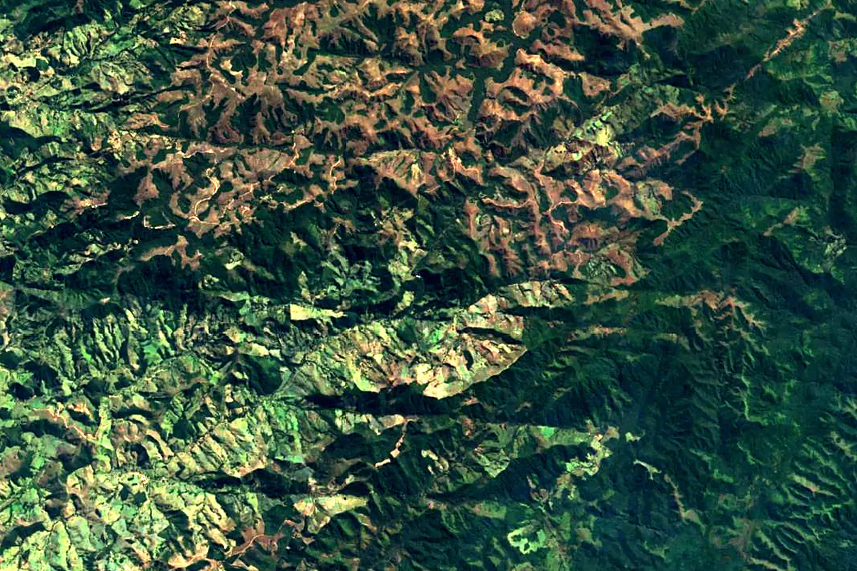
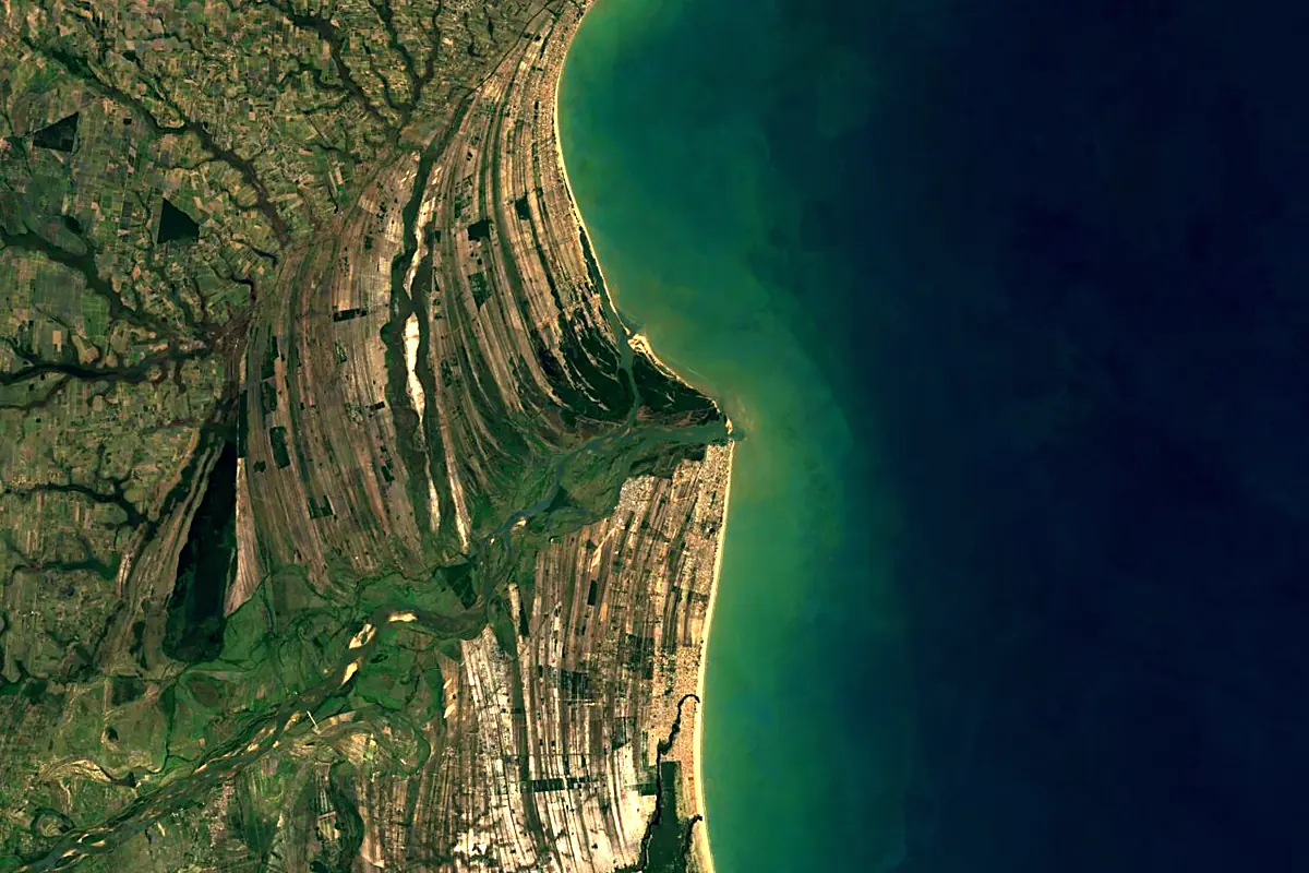
Sentinel-2 cloudless 2016 by EOX IT Services GmbH (contains modified Copernicus Sentinel data 2016), CC BY 4.0. The glowing line is the river as drawn by RiverATLAS.
Photos
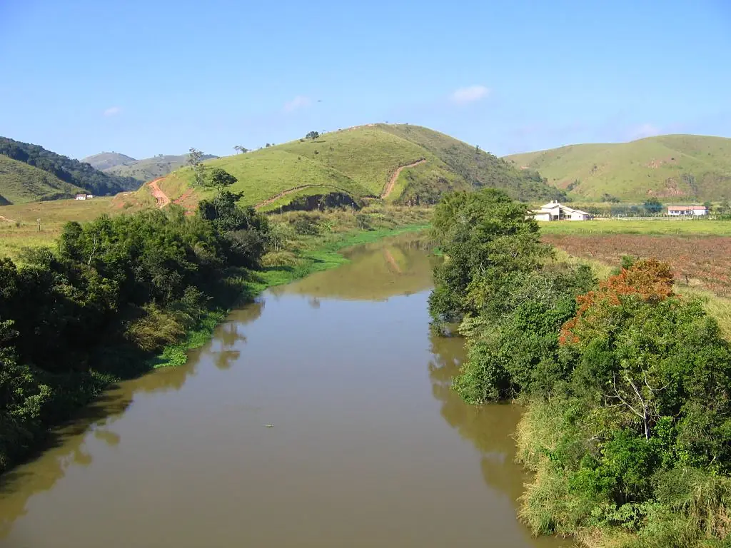
Paraíba do Sul River in pictures
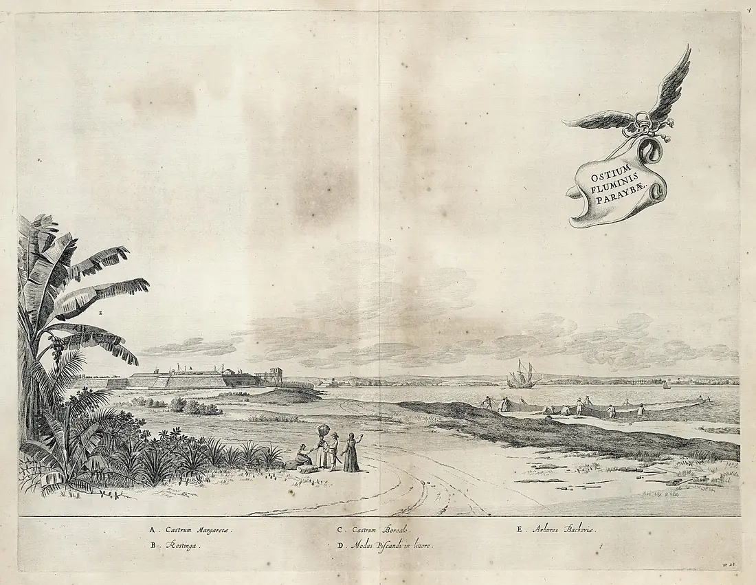
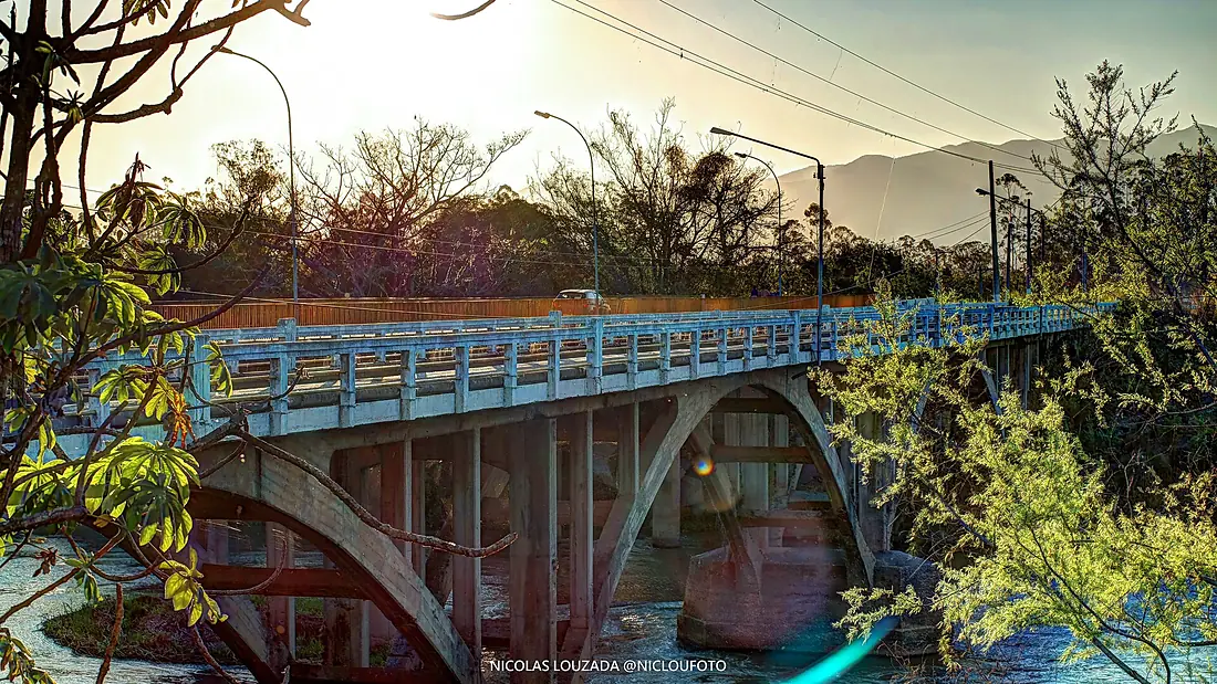
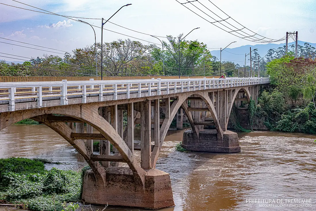
Tributaries
Where it flows, and what flows into it
Tributaries (27)
Also: Pomba River, Paraitinga River, Paraibuna River, Paraibuna River, Muriaé River, Dois Rios River, Piabanha River, Pirapetinga River, Piraí River, Barra Mansa River, Grande River, Guaratinguetá River, Rio Angu, Turvo River, Jaguari River, Bananal River, Do Colégio River, Itagacaba River, Pirapetinga River, Sesmarias River, Córrego Brandão, Rio Piagui, Aventureiro River, São Geraldo (córrego)
Nearby
Rivers nearby
Where these numbers come from
| Name, length, places | Wikidata (Q1807293) · CC0 |
|---|---|
| Course, profile, basin | RiverATLAS v1.0 (HydroATLAS, Linke et al. 2019) · CC BY 4.0 — followed along the river network from the point given by Wikidata |
| Flow | WaterGAP (RiverATLAS), 1971–2000 · CC BY 4.0 |
| Climate along the river | WorldClim (RiverATLAS), 1970–2000 · CC BY 4.0 |
| Towns, bridges, dams | Wikidata · CC0; GeoNames · CC BY 4.0 |
| Along the river | © OpenStreetMap contributors · ODbL |
| Images | EOX Sentinel-2 cloudless 2016 · CC BY 4.0; Wikimedia Commons |
| Our other atlases | Cascadyas, Coastya, Peakyas — Wikidata · CC0; © OpenStreetMap contributors · ODbL; GeoNames · CC BY 4.0; HydroLAKES · CC BY 4.0; NOAA OISST |
Every source and licence is on the data sources page.
The family
Do you prefer beaches, lakes, mountains, waterfalls, islands, rivers or canyons?
Same idea, other landscapes: field atlases built on open data, month by month, in seven languages.
beaches Find your beach: sea temperature, sun and swimming month by month.Visit
  lakes
lakes Every lake on Earth: water temperature, ice, depth and the shore.Coming soonVisit mountains
 Every summit in 3D: summit weather, the 0 °C line, huts and trails.Visit waterfalls
 Every waterfall: height, flow month by month and when it roars.Coming soonVisit
  islands
 Every island from the sea up: size, sea temperature, ferries and 3D.Coming soonVisit
  rivers
 Every river from source to sea: the journey, the flow and the basin in numbers.You are here
 canyons
 Every canyon cut to scale: depth to the floor, rim and floor temperatures, trails and viewpoints.Coming soonVisit