River
São Francisco River
2,814 km from source to mouth · Brazil.
 BrazilFlows into Atlantic Ocean5th longest in Brazil
In numbers
Length
2,814km
Average flow
2.9m³/s
Basin
641,000km²
Drop
931m
from 929 m to -2 m
Country
1
The journey
From source to mouth
2,814 km of river and 68 stops on the way: 41 towns and cities on its banks, dams, bridges and the tributaries that feed it.
- 0 kmSerra da Canastra National Parkat 929 m
- 122 kmLagoa da Inhuma1.0 km²
- 151 kmLagoa das Piranhas0.5 km²
- 159 kmLagoa do Barreiro0.5 km²
- 297 kmPará Rivertributary
- 441 kmTrês Marias Reservoir800 km²
- 442 kmTrês Marias Dam
- 444 kmTrês Marias28,895 people
- 475 kmAbaeté Rivertributary
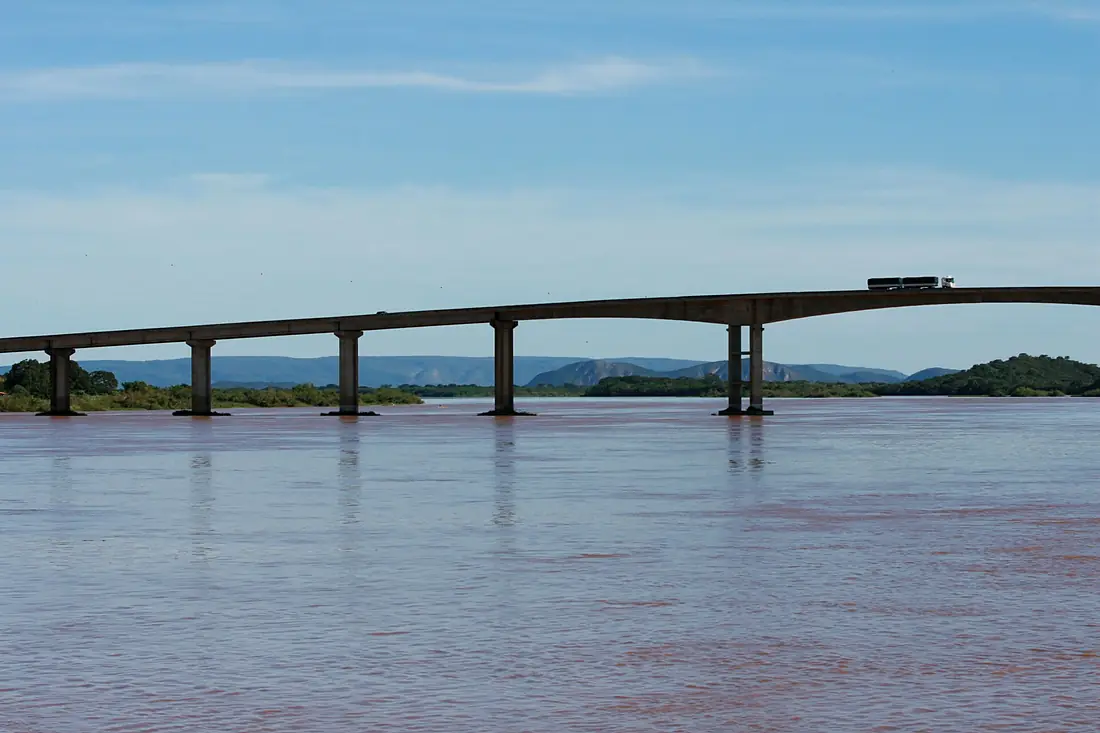
- 573 kmMarshal Hermes da Fonseca Bridge
- 574 kmPirapora57,713 people
- 574 kmBuritizeiro23,910 people
- 600 kmDas Velhas Rivertributary
- 668 kmPacuí Rivertributary
- 697 kmLagoa do Paracat0.5 km²
- 698 kmParacatu Rivertributary
- 727 kmSão Romão10,315 people
- 763 kmUrucuia Rivertributary
- 795 kmSão Francisco56,477 people
- 866 kmPedras de Maria da Cruz10,433 people
- 879 kmJanuária65,150 people
- 935 kmPeruaçu Rivertributary
- 939 kmItacarambi17,208 people
- 977 kmMatias Cardoso8,895 people
- 989 kmManga18,886 people
- 1,017 kmVerde Grande Rivertributary
- 1,041 kmCarinhanha Rivertributary
- 1,042 kmMalhada16,861 people
- 1,045 kmCarinhanha28,869 people
- 1,181 kmBom Jesus da Lapa65,550 people
- 1,200 kmCorrente Rivertributary
- 1,202 kmSítio do Mato13,408 people
- 1,263 kmParatinga29,252 people
- 1,326 kmIbotirama27,003 people
- 1,472 kmBarra53,910 people
- 1,472 kmGrande Rivertributary
- 1,659 kmJacaré Rivertributary
- 1,863 kmSobradinho Reservoir2,615 km²
- 1,867 kmSobradinho23,233 people
- 1,905 kmPetrolina418,444 people
- 1,906 kmPonte Presidente Dutra
- 1,906 kmJuazeiro256,122 people
- 2,010 kmCuraçá34,180 people
- 2,039 kmSanta Maria da Boa Vista42,782 people
- 2,082 kmOrocó13,613 people
- 2,153 kmAbaré20,347 people
- 2,172 kmBelém de São Francisco18,713 people
- 2,204 kmRodelas9,442 people
- 2,219 kmPajeú Rivertributary
- 2,317 kmBrejinho8,010 people
- 2,317 kmCachoeira Itaparica
- 2,328 kmJatobá14,477 people
- 2,345 kmGlória15,234 people
- 2,345 kmMoxotó Rivertributary
- 2,354 kmPaulo Afonso Falls80 m
- 2,356 kmPaulo Afonso119,418 people
- 2,414 kmXingó Dam
- 2,416 kmCanindé de São Francisco26,834 people
- 2,420 kmPiranhas25,183 people
- 2,462 kmPão de Açúcar24,351 people
- 2,490 kmIpanema Rivertributary
- 2,513 kmGararu11,601 people
- 2,523 kmTraipu27,826 people
- 2,557 kmPorto Real do Colégio20,112 people
- 2,559 kmPropriá26,618 people
- 2,592 kmPenedo60,189 people
- 2,595 kmNeópolis16,426 people
- 2,609 kmIlha das Flores8,321 people
- 2,621 kmPiaçabuçu16,201 people
- 2,814 kmAtlantic Oceanat -2 m
Water level along the river (RiverATLAS; the height is exaggerated). Towns: GeoNames and Wikidata; bridges, dams and tributaries: Wikidata.
River in Minas Gerais, Bahia, Pernambuco, Sergipe & Alagoas, Brazil
At the mouth it carries 2.9 m³/s on average: an Olympic pool every 849 seconds. It drops from 929 m to -2 m, 0.3 m per kilometre on average. Its basin covers 641,000 km², about the size of SS. 14.8 million people live in it. Highest water: from January to March; lowest: from July to October. It is heavily dammed: reservoirs can hold 87% of a year's flow.
Where to start
- PetrolinaLargest city on its banks · 418,444 people
- Senador Nilo Coelho Airport (PNZ)Nearest airport with scheduled flights, 8 km from the cityCar hire at PNZ airport (Petrolina)Discover Cars · Affiliate link↗
- On the water124 ferry piers, marinas, boat rentals and boat ramps along the river (OpenStreetMap)
- From May to SeptemberThe best months to visit
São Francisco River, month by month
Highest water: from January to March
Lowest water: from July to October. Best months to visit: from May to September.
From about 340 m³/s in the lowest month to 6,100 m³/s in the highest. An estimate: the monthly flow is modelled from the lowest and highest months of WaterGAP (RiverATLAS, 1971–2000) and the rain and snow along the river (WorldClim). Dams change the real rhythm. The chip is the average air temperature; below it, the month's rain.
Plan the trip
Plan the trip: boat trips, a bed by the river, a car
Some links above are affiliate links: if you book through them we may earn a commission, at no extra cost to you. It never changes what the data on this page says.
The basin
São Francisco River: the basin in numbers
637,199 km² of land send their water to this river. This is what lives on it.
- 14.8millionpeople live in the basin
- 23/km²people per km²
- 633maverage altitude of the basin
- 953mmof rain a year (basin average)
- 23.4°Caverage air temperature
- 11%protected areas
- 0.7%covered by lakes
- 74km³held in reservoirs
What covers the basin
- 16% Forest
- 7% Cropland
- 26% Pasture
- 1% Towns and cities
RiverATLAS (HydroATLAS v1.0, CC BY 4.0): land cover, people, protected areas, glaciers and dams over the whole basin upstream of the mouth.
Along the river
São Francisco River: what you find on the way
- 2Weirs
- 3LocksEclusa de Sobradinho
- 10WaterfallsCachoeira Comprida, Corredeira Rapadura, Corredeira das Pedras and 7 more
- 3Boat ramps
- 115Ferry piersPorto J de Castro, Porto do Wander, Porto do Verissimo and 112 more
- 3MarinasPorto dos Amigos, Marina
- 9River beachesBalneário das Duchas, Ilha do Areão, Dunas do Velho Chico and 6 more
From OpenStreetMap, within 2.9 km of the river. Not mapped is not the same as not there.
Cross-checked with our atlases
São Francisco River in our other atlases
What our sister atlases know about the waterfalls on this river, the lakes it flows through, the beaches at its mouth, the mountains where it rises and the islands off its mouth.
 2waterfalls on the riverCascadyas
 6lakes on its wayLakeyas
 3beaches at the mouth and on the banksCoastya
Waterfalls (2)
On the river, by Cascadyas
- Cachoeira Itaparicakm 2,184
- Paulo Afonso Fallskm 2,22080m
Cascadyas is coming soonOpen Cascadyas ↗
Lakes and reservoirs (6)
Lakes it flows through, by Lakeyas
- Lagoa da Inhumakm 1151.0km²
- Lagoa das Piranhaskm 1420.5km²
- Lagoa do Barreirokm 1500.5km²
- Três Marias Reservoirkm 416800km²
- Lagoa do Paracatkm 6580.5km²
- Sobradinho Reservoirkm 1,7562,615km²
Lakeyas is coming soonOpen Lakeyas ↗
Beaches (3)
At the mouth (25 km) and on the banks, by Coastya
- Praia do Cabeço4.9 km away28.5°C
- Praia do Costinha8.7 km away28.5°C
- Praia da Ponta dos Mangues16 km away28.4°C
From space
The source and the mouth, seen from orbit
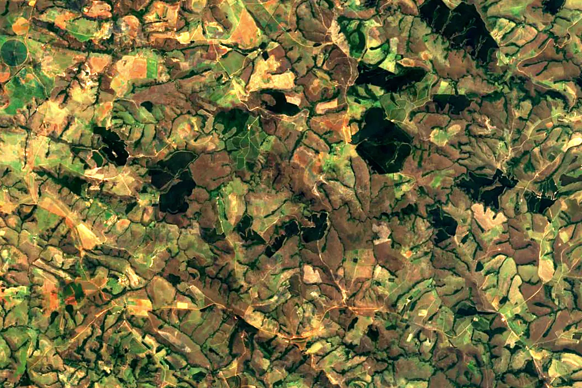
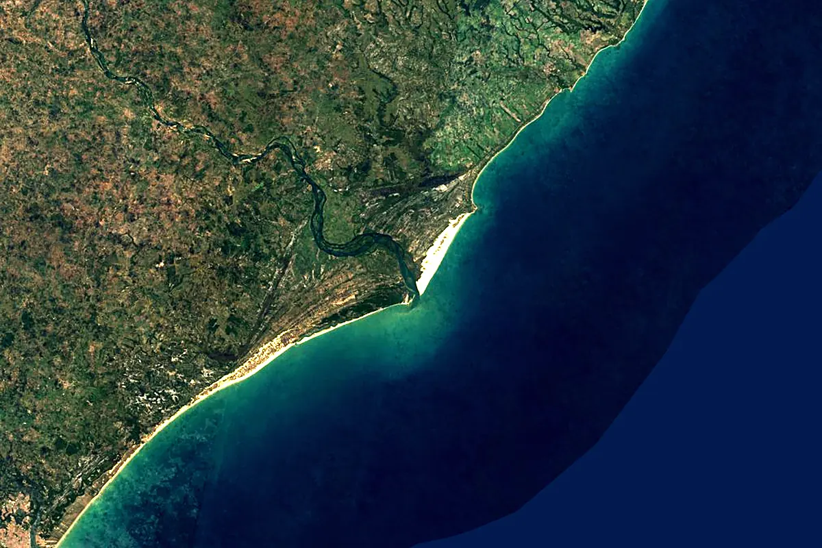
Sentinel-2 cloudless 2016 by EOX IT Services GmbH (contains modified Copernicus Sentinel data 2016), CC BY 4.0. The glowing line is the river as drawn by RiverATLAS.
Photos
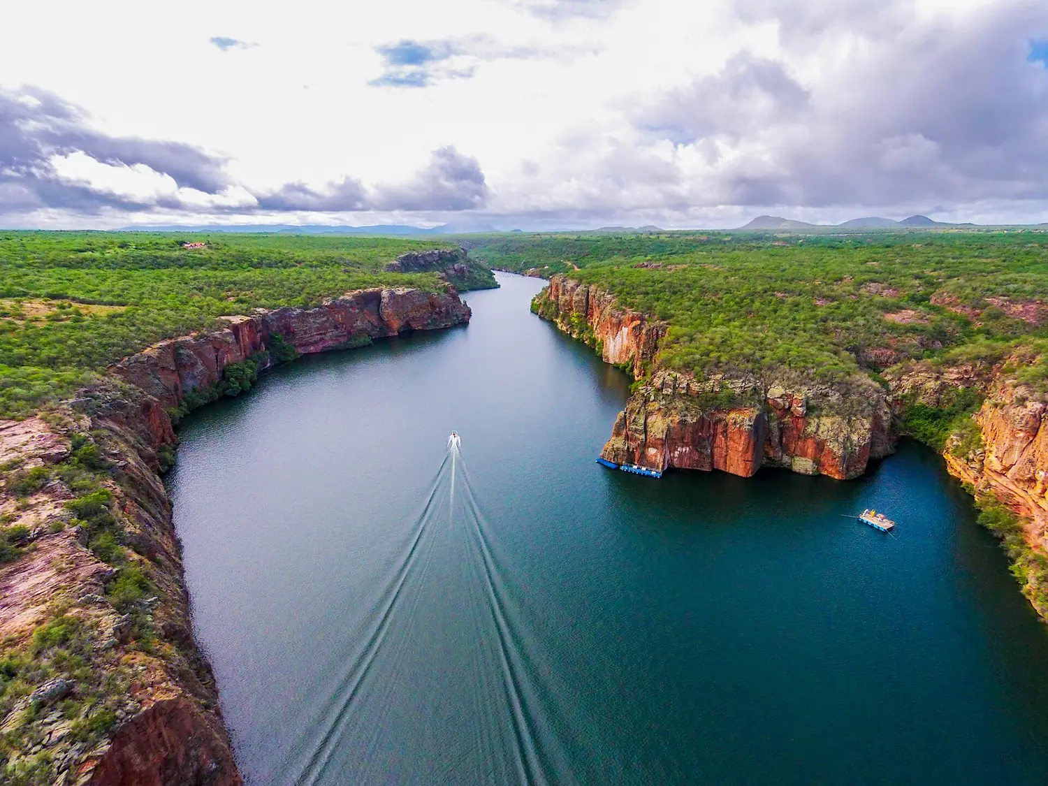
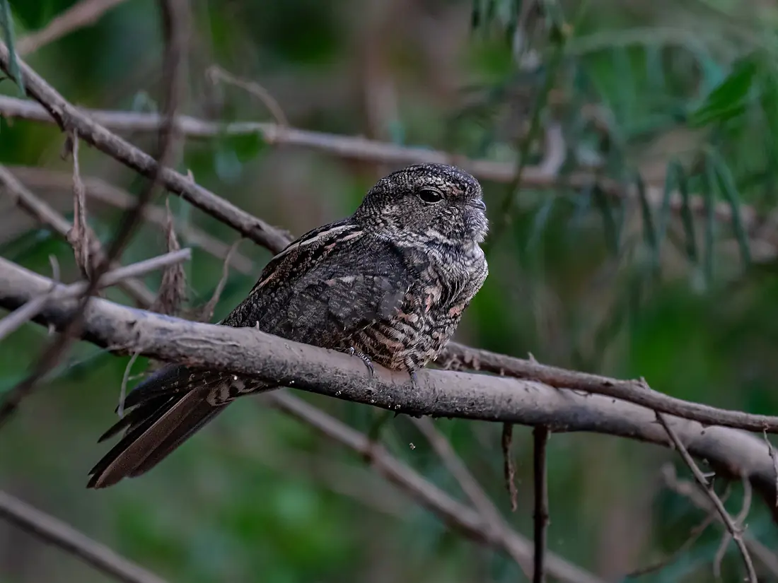
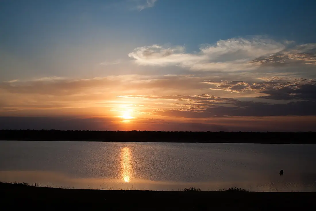
São Francisco River in pictures
Tributaries
Where it flows, and what flows into it
Tributaries (47)
Also: Abaeté River, Das Velhas River, Grande River, Paracatu River, Pajeú River, Carinhanha River, Ipanema River, Urucuia River, Verde Grande River, Pará River, Moxotó River, Corrente River, Jacaré River, Pacuí River, Paramirim River, Indaiá River, Peruaçu River, Brigida River, Capiá River, Colindó River, Curaçá River, Das Rãs River, Do Navio River, Garça River
Where these numbers come from
| Name, length, places | Wikidata (Q142148) · CC0 |
|---|---|
| Course, profile, basin | RiverATLAS v1.0 (HydroATLAS, Linke et al. 2019) · CC BY 4.0 — followed along the river network from the point given by Wikidata |
| Flow | WaterGAP (RiverATLAS), 1971–2000 · CC BY 4.0 |
| Climate along the river | WorldClim (RiverATLAS), 1970–2000 · CC BY 4.0 |
| Towns, bridges, dams | Wikidata · CC0; GeoNames · CC BY 4.0 |
| Along the river | © OpenStreetMap contributors · ODbL |
| Images | EOX Sentinel-2 cloudless 2016 · CC BY 4.0; Wikimedia Commons |
| Our other atlases | Cascadyas, Lakeyas, Coastya — Wikidata · CC0; © OpenStreetMap contributors · ODbL; GeoNames · CC BY 4.0; HydroLAKES · CC BY 4.0; NOAA OISST |
Every source and licence is on the data sources page.
The family
Do you prefer beaches, lakes, mountains, waterfalls, islands, rivers or canyons?
Same idea, other landscapes: field atlases built on open data, month by month, in seven languages.
beaches Find your beach: sea temperature, sun and swimming month by month.Visit lakes
 Every lake on Earth: water temperature, ice, depth and the shore.Coming soonVisit
  mountains
 Every summit in 3D: summit weather, the 0 °C line, huts and trails.Visit waterfalls
 Every waterfall: height, flow month by month and when it roars.Coming soonVisit
  islands
 Every island from the sea up: size, sea temperature, ferries and 3D.Coming soonVisit
  rivers
 Every river from source to sea: the journey, the flow and the basin in numbers.You are here
 canyons
 Every canyon cut to scale: depth to the floor, rim and floor temperatures, trails and viewpoints.Coming soonVisit