River
Senegal River
1,050 km from source to mouth · Senegal, Mauritania and Mali.
 Senegal, Mauritania and MaliFlows into Atlantic Ocean1st longest in Senegal
In numbers
Length
1,050km
Average flow
640m³/s
Basin
419,575km²
Drop
93m
from 93 m to 0 m
Countries
3
The journey
From source to mouth
1,050 km of river and 30 stops on the way: 15 towns and cities on its banks, dams, bridges and the tributaries that feed it.
- 0 kmBafing Riverat 93 m
- 1 kmBafoulabé26,823 people
- 3 kmBafing Rivertributary
- 3 kmBakoy Rivertributary
- 53 kmGouina Falls
- 114 kmFélou Falls
- 127 kmKolinbiné Rivertributary
- 130 kmKayes194,716 people
- 205 kmKarakoro Rivertributary
- 231 kmFalémé Rivertributary
- 255 kmBakel13,329 people
- 262 kmLotiande Mare0.5 km²
- 313 kmSagné8,430 people
- 410 kmDella Ma1.8 km²
- 418 kmDiouloltributary
- 420 kmMatam27,695 people
- 466 kmNguidjlone10,444 people
- 505 kmGorgol Rivertributary
- 505 kmKaédi56,283 people
- 594 kmFondé Elimane8,500 people
- 595 kmBababé8,869 people
- 645 kmBogué20,291 people
- 745 kmPodor11,608 people
- 763 kmDoué Rivertributary
- 828 kmGuidayo1.9 km²
- 856 kmDagana21,750 people
- 865 kmRichard-Toll73,147 people
- 877 kmRosso61,156 people
- 1,000 kmIsland of Saint-LouisUNESCO World Heritage
- 1,000 kmSaint-Louis258,592 people
- 1,000 kmFaidherbe Bridge
- 1,050 kmAtlantic Oceanat 0 m
Water level along the river (RiverATLAS; the height is exaggerated). Towns: GeoNames and Wikidata; bridges, dams and tributaries: Wikidata.
River in West Africa
At the mouth it carries 640 m³/s on average: an Olympic pool every 3.9 seconds. It drops from 93 m to 0 m, 0.1 m per kilometre on average. Its basin covers 419,575 km², about the size of PY. 7.2 million people live in it. Highest water: from September to October; lowest: from February to May. It is heavily dammed: reservoirs can hold 304% of a year's flow.
Where to start
- Saint-LouisLargest city on its banks · 258,592 people
- Blaise Diagne International Airport (DSS)Nearest airport with scheduled flights, 164 km from the cityCar hire at DSS airport (Dakar)Discover Cars · Affiliate link↗
- On the water193 ferry piers, marinas, boat rentals and boat ramps along the river (OpenStreetMap)
- From December to FebruaryThe best months to visit
Senegal River, month by month
Highest water: from September to October
Lowest water: from February to May. Best months to visit: from December to February.
From about 43 m³/s in the lowest month to 350 m³/s in the highest. An estimate: the monthly flow is modelled from the lowest and highest months of WaterGAP (RiverATLAS, 1971–2000) and the rain and snow along the river (WorldClim). Dams change the real rhythm. The chip is the average air temperature; below it, the month's rain.
Plan the trip
Plan the trip: boat trips, a bed by the river, a car
Some links above are affiliate links: if you book through them we may earn a commission, at no extra cost to you. It never changes what the data on this page says.
The basin
Senegal River: the basin in numbers
443,987 km² of land send their water to this river. This is what lives on it.
- 7.2millionpeople live in the basin
- 16/km²people per km²
- 220maverage altitude of the basin
- 563mmof rain a year (basin average)
- 28.1°Caverage air temperature
- 7%protected areas
- 0.3%covered by lakes
- 12km³held in reservoirs
What covers the basin
- 4% Forest
- 6% Cropland
- 35% Pasture
RiverATLAS (HydroATLAS v1.0, CC BY 4.0): land cover, people, protected areas, glaciers and dams over the whole basin upstream of the mouth.
Along the river
Senegal River: what you find on the way
- 17Weirs
- 2Locks
- 16WaterfallsChutes de Gouina and 15 more
- 10Boat rampsPort de Diala-Banlieue, Touffdé Ecole, Touffdé Yaya and 7 more
- 175Ferry piersDarsalam berge, Bakel, Diowguel and 172 more
- 8MarinasGaé, Rosso Sénégal and 6 more
- 1River beaches
From OpenStreetMap, within 2.8 km of the river. Not mapped is not the same as not there.
Cross-checked with our atlases
Senegal River in our other atlases
What our sister atlases know about the waterfalls on this river, the lakes it flows through, the beaches at its mouth, the mountains where it rises and the islands off its mouth.
 2waterfalls on the riverCascadyas
 3lakes on its wayLakeyas
 2beaches at the mouth and on the banksCoastya
Waterfalls (2)
On the river, by Cascadyas
- Gouina Fallskm 54
- Félou Fallskm 117
Cascadyas is coming soonOpen Cascadyas ↗
Lakes and reservoirs (3)
Lakes it flows through, by Lakeyas
- Lotiande Marekm 2690.5km²
- Della Makm 4201.8km²
- Guidayokm 8491.9km²
Lakeyas is coming soonOpen Lakeyas ↗
Beaches (2)
At the mouth (25 km) and on the banks, by Coastya
- Anse de Ndel16 km away · cove28.2°C
- Marigot de Leybar11 km away · cove28.2°C
From space
The source and the mouth, seen from orbit
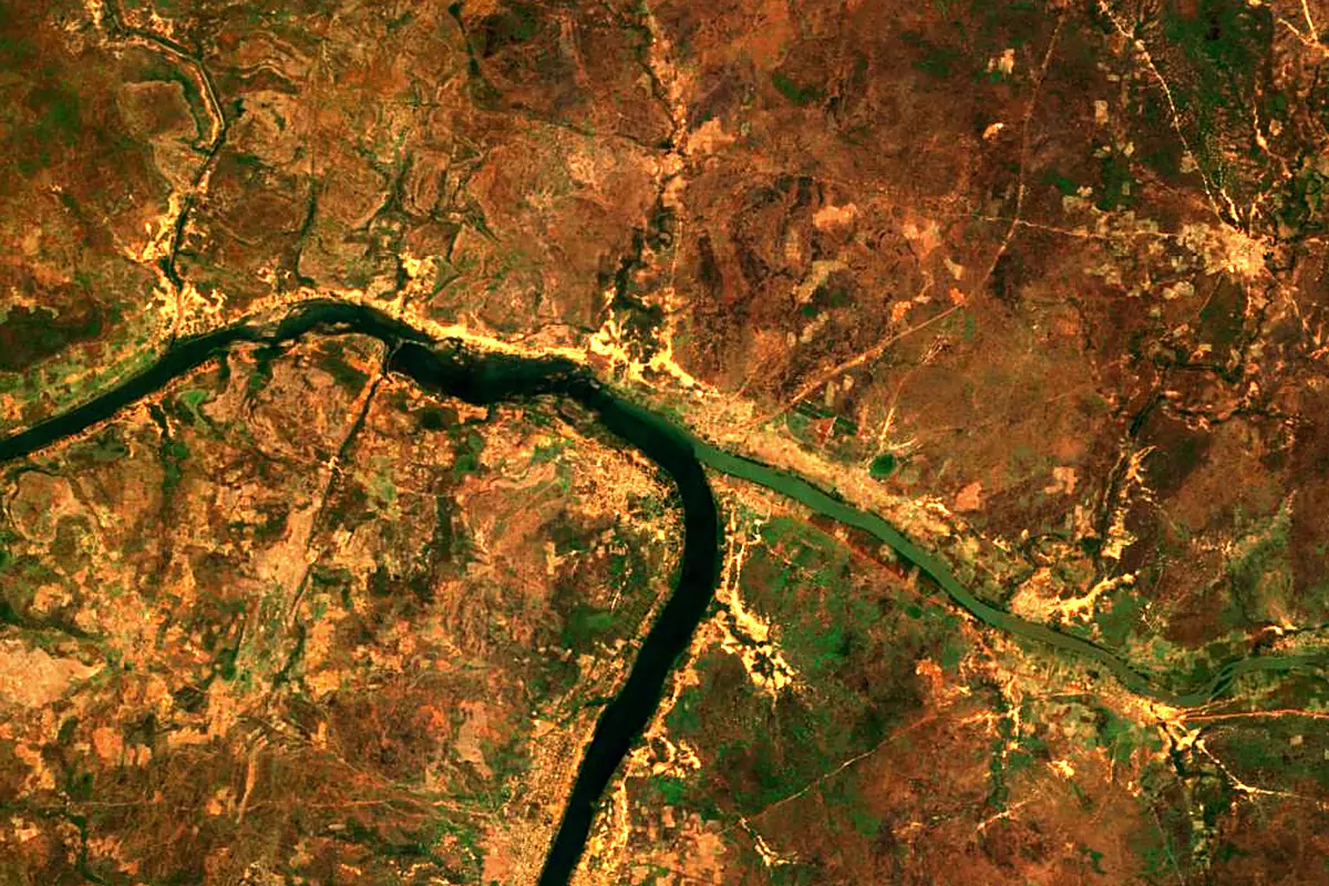
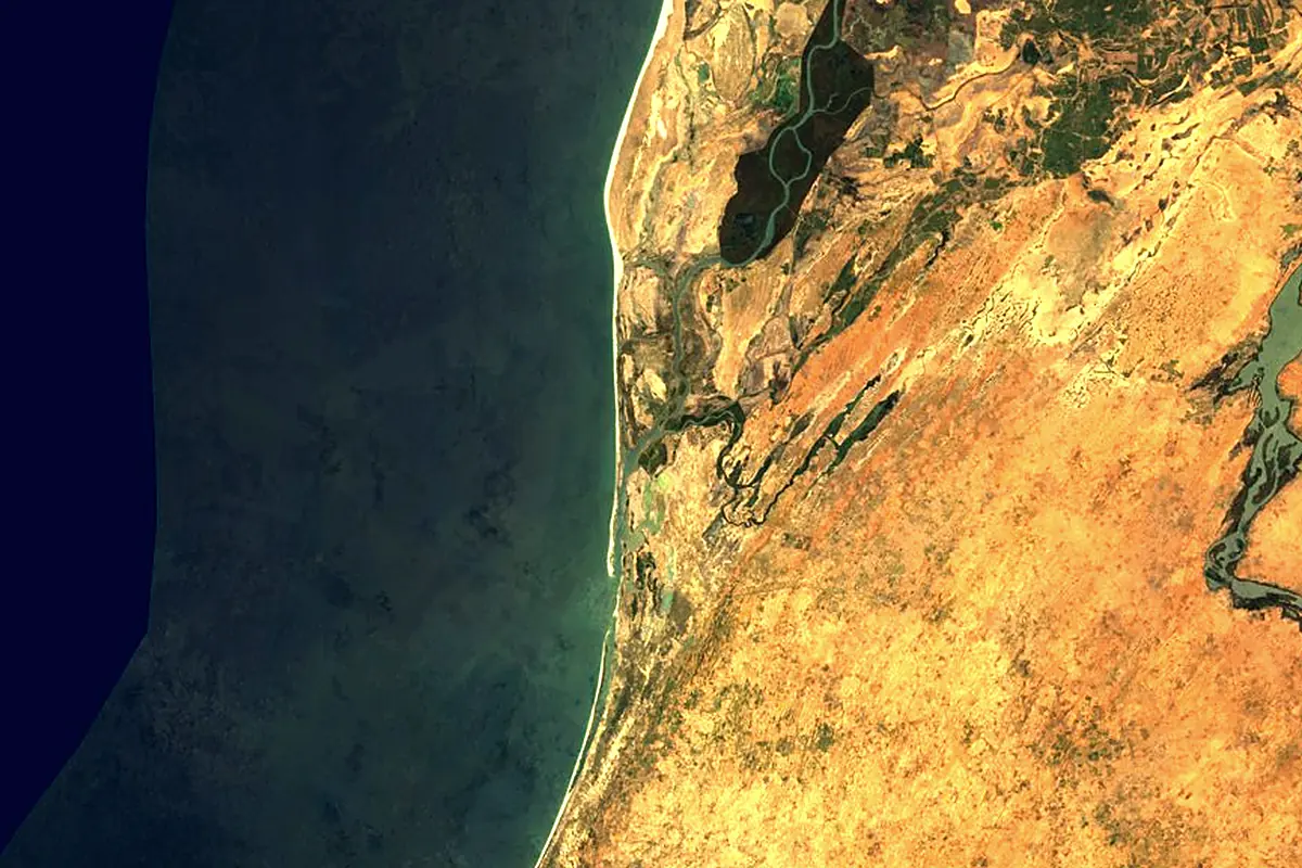
Sentinel-2 cloudless 2016 by EOX IT Services GmbH (contains modified Copernicus Sentinel data 2016), CC BY 4.0. The glowing line is the river as drawn by RiverATLAS.
Photos
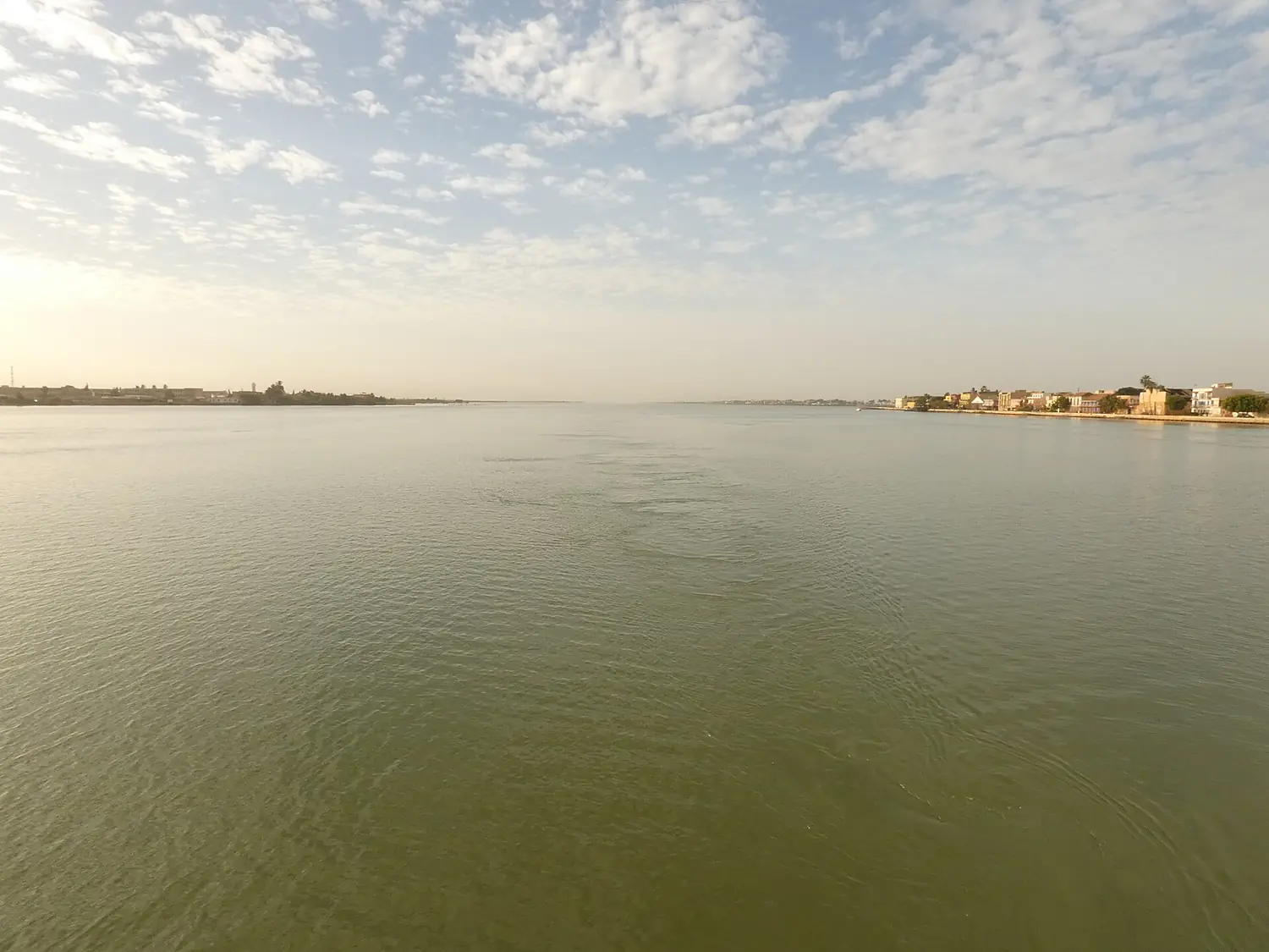
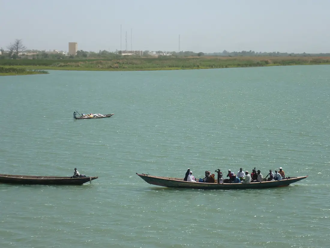
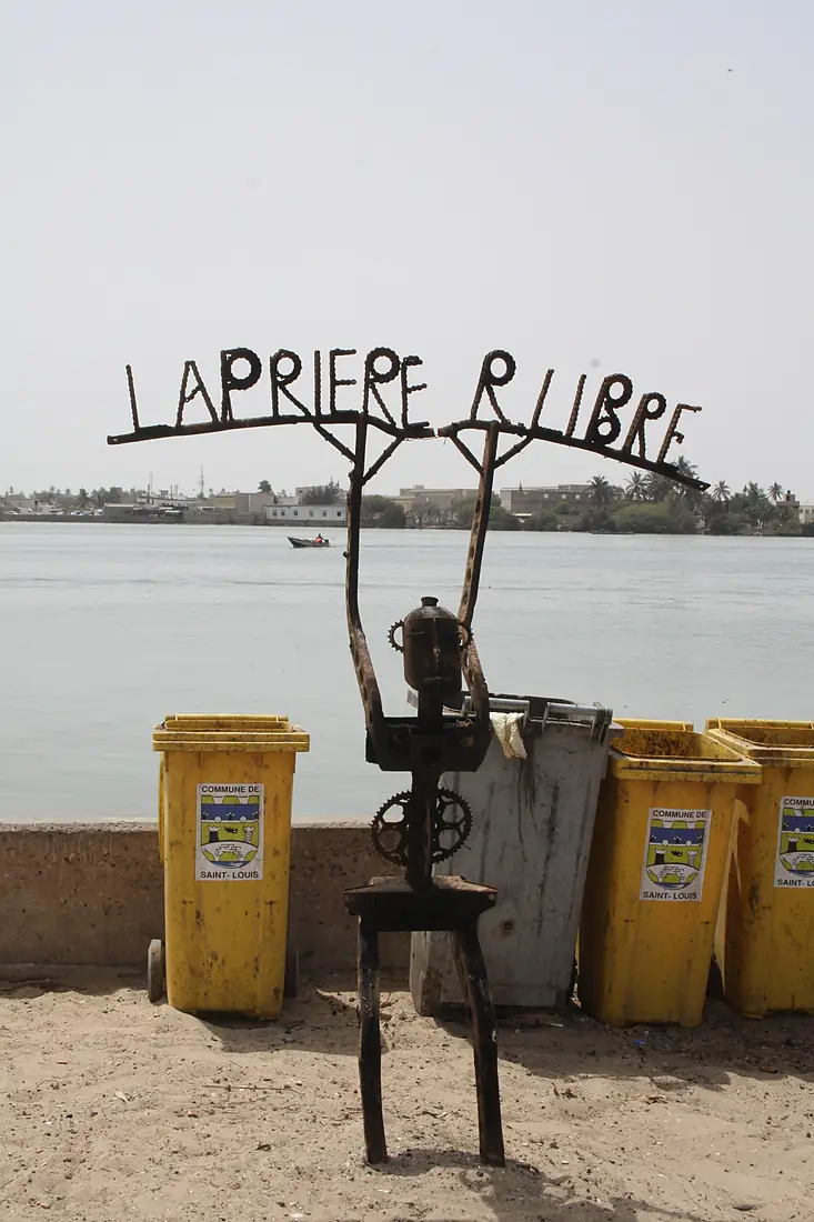
Senegal River in pictures
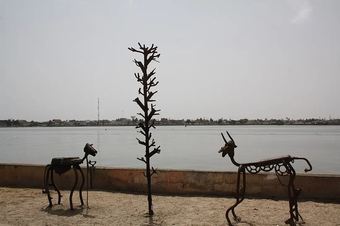
Tributaries
Where it flows, and what flows into it
Tributaries (11)
Mauritania697 kmjoins at km 210Bafing RiverMali500 km370 m³/sjoins at km 3Bakoy RiverMali400 km370 m³/sjoins at km 3Falémé RiverMauritania400 km480 m³/sjoins at km 237Gorgol RiverMauritania258 km66 m³/sjoins at km 517Also: Kolinbiné River, Doué River, Dioulol, Taouey, Marigot de Diammél, Oued Garfa
Nearby
Rivers nearby
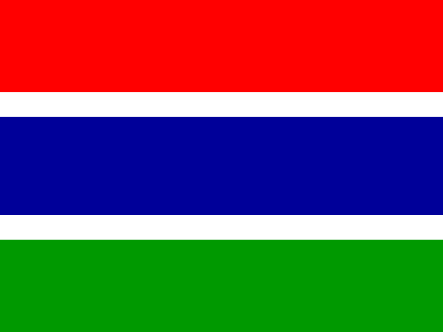 Gambia1,130 km2,000 m³/s294 km awaySaloum RiverSenegal378 km13 m³/s225 km awayGorgol RiverMauritania258 km66 m³/s319 km awayCasamance RiverSenegal401 km86 m³/s390 km awayFalémé RiverMauritania400 km480 m³/s472 km awayGeba River
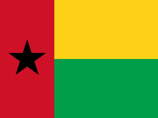 Guinea-Bissau545 km130 m³/s483 km awayRio de CanjambariGuinea-Bissau69 km26 m³/s421 km awayKarakoro RiverMauritania697 km496 km away
Where these numbers come from
| Name, length, places | Wikidata (Q3569) · CC0 |
|---|---|
| Course, profile, basin | RiverATLAS v1.0 (HydroATLAS, Linke et al. 2019) · CC BY 4.0 — followed from the source to the mouth given by Wikidata |
| Flow | WaterGAP (RiverATLAS), 1971–2000 · CC BY 4.0 |
| Climate along the river | WorldClim (RiverATLAS), 1970–2000 · CC BY 4.0 |
| Towns, bridges, dams | Wikidata · CC0; GeoNames · CC BY 4.0 |
| Along the river | © OpenStreetMap contributors · ODbL |
| Images | EOX Sentinel-2 cloudless 2016 · CC BY 4.0; Wikimedia Commons |
| Our other atlases | Cascadyas, Lakeyas, Coastya — Wikidata · CC0; © OpenStreetMap contributors · ODbL; GeoNames · CC BY 4.0; HydroLAKES · CC BY 4.0; NOAA OISST |
Every source and licence is on the data sources page.
The family
Do you prefer beaches, lakes, mountains, waterfalls, islands, rivers or canyons?
Same idea, other landscapes: field atlases built on open data, month by month, in seven languages.
beaches Find your beach: sea temperature, sun and swimming month by month.Visit lakes
 Every lake on Earth: water temperature, ice, depth and the shore.Coming soonVisit
  mountains
 Every summit in 3D: summit weather, the 0 °C line, huts and trails.Visit waterfalls
 Every waterfall: height, flow month by month and when it roars.Coming soonVisit
  islands
 Every island from the sea up: size, sea temperature, ferries and 3D.Coming soonVisit
  rivers
 Every river from source to sea: the journey, the flow and the basin in numbers.You are here
 canyons
 Every canyon cut to scale: depth to the floor, rim and floor temperatures, trails and viewpoints.Coming soonVisit