River
Ume älv
467 km from source to mouth · Sweden.
 SwedenFlows into Kvarken2nd longest in Sweden
In numbers
Length
467km
Average flow
450m³/s
Basin
26,815km²
Drop
512m
from 512 m to 0 m
Country
1
The journey
From source to mouth
467 km of river and 55 stops on the way: 4 towns and cities on its banks, dams, bridges and the tributaries that feed it.
- 0 kmSourceat 512 m
- 24 kmMaisor1.1 km²
- 24 kmGaina0.7 km²
- 27 kmAhasjön1.4 km²
- 36 kmVästansjön4.3 km²
- 46 kmStor-Laisan13 km²
- 79 kmGeavhta47 km²
- 93 kmBjörkvattensdalen82 km²
- 107 kmHolmträsket3.7 km²
- 109 kmStenträsket1.1 km²
- 111 kmUmnässjön13 km²
- 138 kmRödingträsket0.5 km²
- 142 kmSvärdasjön0.4 km²
- 177 kmStoruman Lake169 km²
- 185 kmStenselet8.6 km²
- 190 kmRackosjön2.0 km²
- 190 kmByssträsket0.7 km²
- 195 kmLångselet2.0 km²
- 197 kmMyrträsket0.9 km²
- 214 kmGrundforsdammen12 km²
- 217 kmGrundforsavan0.6 km²
- 219 kmBrännträsktjärnen0.4 km²
- 234 kmSpänningträsket0.9 km²
- 235 kmMörtsjön0.5 km²
- 243 kmHaukträsket0.7 km²
- 247 kmBlåviken17 km²
- 263 kmRusfors dämningsområde9.3 km²
- 263 kmStor-Granselet0.7 km²
- 268 kmLill-Granträsket0.3 km²
- 274 kmHöglandstjärnen0.4 km²
- 279 kmSkovelträsket1.1 km²
- 290 kmLycksträsket3.0 km²
- 292 kmLycksele8,545 people
- 293 kmKraftwerk Hällforsen
- 300 kmRenträsket0.3 km²
- 303 kmStorbacksjön1.9 km²
- 321 kmYttre Kroksjön2.3 km²
- 330 kmRössjön (lanaw sa Suwesya, Västerbottens län)3.1 km²
- 362 kmBjurfors östra dämningsområde1.9 km²
- 370 kmBjurfors norra dämningsområde1.3 km²
- 380 kmHarrsele dämningsområde1.8 km²
- 390 kmHällforstjärnen1.1 km²
- 399 kmVännäs4,373 people
- 405 kmStrandsjön0.7 km²
- 406 kmVindel Rivertributary
- 416 kmNorrforsen
- 419 kmStornorrfors Hydroelectric Power Station
- 423 kmKlabböle kraftverk
- 425 kmBaggbölebron
- 431 kmTegsbron
- 431 kmGamla bron
- 432 kmUmeå Municipality134,596 people
- 432 kmUmeå130,224 people
- 432 kmKyrkbron
- 435 kmKolbäck Bridge
- 439 kmUmeälvsbron
- 467 kmKvarkenat 0 m
Water level along the river (RiverATLAS; the height is exaggerated). Towns: GeoNames and Wikidata; bridges, dams and tributaries: Wikidata.
River in Västerbotten, Sweden
At the mouth it carries 450 m³/s on average: an Olympic pool every 5.6 seconds. It drops from 512 m to 0 m, 1.1 m per kilometre on average. Its basin covers 26,815 km², about the size of RW. 57,000 people live in it. Highest water, with the snowmelt: from May to July; lowest: from January to April. Dams and reservoirs hold back a large share of its water (29% of a year's flow).
Where to start
- Umeå MunicipalityLargest city on its banks · 134,596 people
- Umeå Airport (UME)Nearest airport with scheduled flights, 5 km from the cityCar hire in UmeaDiscover Cars · Affiliate link↗
- On the water20 ferry piers, marinas, boat rentals and boat ramps along the river (OpenStreetMap)
- From June to AugustThe best months to visit
Ume älv, month by month
Highest water: from May to July
Lowest water: from January to April. Freezing months (average below −4 °C): from November to March. Melting snow makes up much of its water. Best months to visit: from June to August.
From about 130 m³/s in the lowest month to 1,600 m³/s in the highest. An estimate: the monthly flow is modelled from the lowest and highest months of WaterGAP (RiverATLAS, 1971–2000) and the rain and snow along the river (WorldClim). Dams change the real rhythm. The chip is the average air temperature; below it, the month's rain.
Plan the trip
Plan the trip: boat trips, a bed by the river, a car
Some links above are affiliate links: if you book through them we may earn a commission, at no extra cost to you. It never changes what the data on this page says.
The basin
Ume älv: the basin in numbers
27,547 km² of land send their water to this river. This is what lives on it.
- 57,000people live in the basin
- 2/km²people per km²
- 514maverage altitude of the basin
- 684mmof rain a year (basin average)
- 0.1°Caverage air temperature
- 25%protected areas
- 6.8%covered by lakes
- 6%permafrost
- 4.6km³held in reservoirs
What covers the basin
- 75% Forest
RiverATLAS (HydroATLAS v1.0, CC BY 4.0): land cover, people, protected areas, glaciers and dams over the whole basin upstream of the mouth.
Along the river
Ume älv: what you find on the way
- 2Weirs
- 1Waterfalls
- 12Boat rampsSlussfors and 11 more
- 8MarinasStorumans båtklubb, Lundåkern, Öbacka småbåtshamn and 5 more
- 12River beachesAnsia badplats, Hedlunda strand, Tannbäckens badplats and 9 more
From OpenStreetMap, within 2.1 km of the river. Not mapped is not the same as not there.
Cross-checked with our atlases
Ume älv in our other atlases
What our sister atlases know about the waterfalls on this river, the lakes it flows through, the beaches at its mouth, the mountains where it rises and the islands off its mouth.
 2waterfalls on the riverCascadyas
 40lakes on its wayLakeyas
 8beaches at the mouth and on the banksCoastya
 12mountains at the sourcePeakyas
 1island off the mouthIslandyas
Waterfalls (2)
On the river, by Cascadyas
- Kraftwerk Hällforsenkm 276
- Norrforsenkm 391
Cascadyas is coming soonOpen Cascadyas ↗
Lakes and reservoirs (40)
Lakes it flows through, by Lakeyas
- Stor-Laisankm 43 · 28 m deep13km²
- Geavhtakm 75 · 58 m deep47km²
- Björkvattensdalenkm 8782km²
- Umnässjönkm 104 · 44 m deep13km²
- Storuman Lakekm 166 · 135 m deep169km²
- Grundforsdammenkm 20112km²
- Blåvikenkm 23217km²
- Harrsele dämningsområdekm 3581.8km²
32 more on LakeyasLakeyas is coming soonOpen Lakeyas ↗
Beaches (8)
At the mouth (25 km) and on the banks, by Coastya
- Kärleksviken6.7 km away15.7°C
- Ljumvikens havsbad7.8 km away15.7°C
- Stöcksjö Strand6.0 km away15.8°C
- Bettnesand15 km away15.8°C
- Norrmjöle Havsbad14 km away15.8°C
- Sundet11 km away · cove15.7°C
- Bortre Nyviken5.1 km away · cove15.7°C
- Sillviken6.9 km away · cove15.7°C
Mountains at the source (12)
Within 15 km of the source, by Peakyas
- Valle10 km away
- Unna Keunja9.6 km away
- Keunjatjåkkå9.9 km away
- Gurdstjåkko5.5 km away
- Skrapetjakke7.9 km away
- Skrapeålge8.1 km away
- Råkkonjuonje7.5 km away
- Murtsernjuone13 km away
4 more on PeakyasOpen Peakyas ↗
Islands off the mouth (1)
Within 30 km of the mouth, by Islandyas
- Tarv12 km away0.7km²
Islandyas is coming soonOpen Islandyas ↗
From space
The source and the mouth, seen from orbit
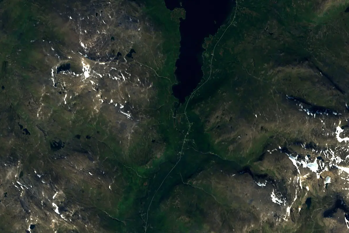
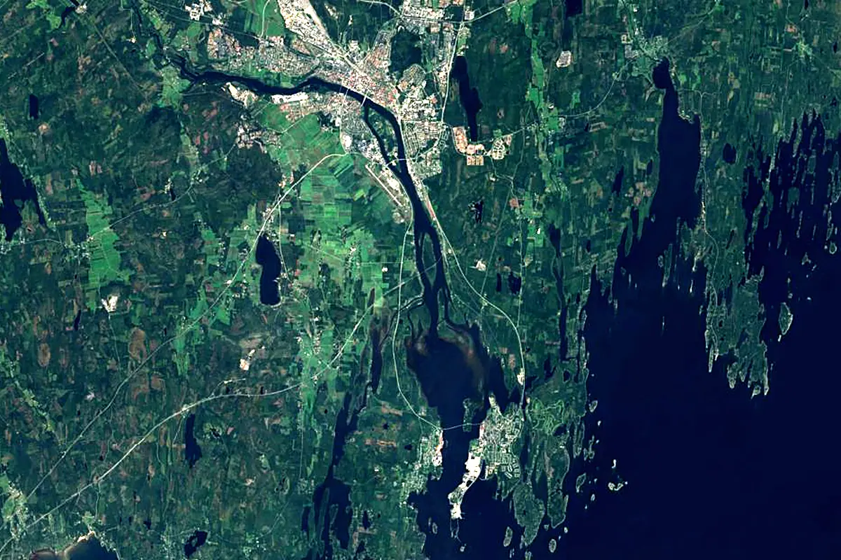
Sentinel-2 cloudless 2016 by EOX IT Services GmbH (contains modified Copernicus Sentinel data 2016), CC BY 4.0. The glowing line is the river as drawn by RiverATLAS.
Photos
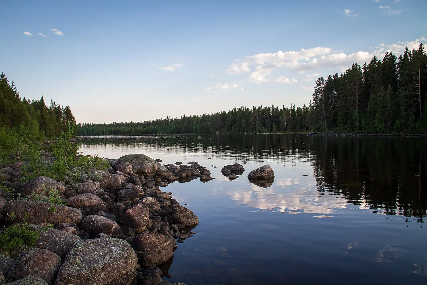
Ume älv in pictures
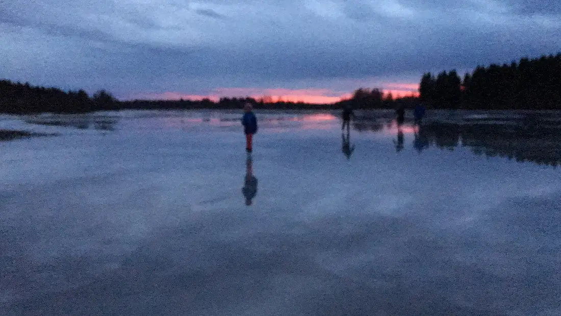
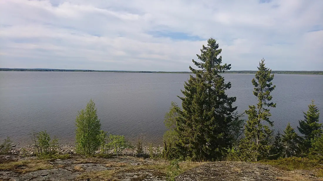
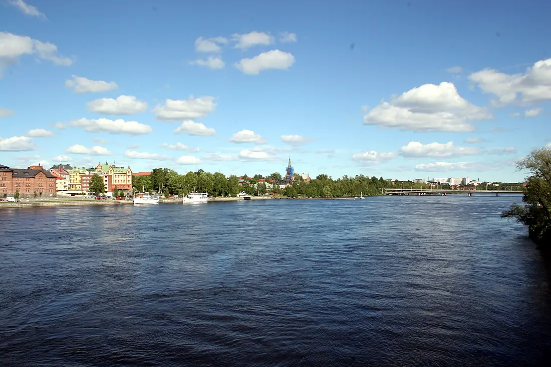
Tributaries
Where it flows, and what flows into it
Nearby
Rivers nearby
Sweden450 km250 m³/s27 km awaySkellefte RiverSweden410 km160 m³/s109 km awayPite RiverSweden400 km160 m³/s186 km awayIndalsälvenSweden420 km460 m³/s200 km awayLjunganSweden350 km140 m³/s217 km awayKalix RiverSweden461 km290 m³/s268 km awayKokemäenjoki Finland121 km230 m³/s256 km awayTorne RiverSweden470 km380 m³/s292 km away
Where these numbers come from
| Name, length, places | Wikidata (Q51845) · CC0 |
|---|---|
| Course, profile, basin | RiverATLAS v1.0 (HydroATLAS, Linke et al. 2019) · CC BY 4.0 — followed from the source to the mouth given by Wikidata |
| Flow | WaterGAP (RiverATLAS), 1971–2000 · CC BY 4.0 |
| Climate along the river | WorldClim (RiverATLAS), 1970–2000 · CC BY 4.0 |
| Towns, bridges, dams | Wikidata · CC0; GeoNames · CC BY 4.0 |
| Along the river | © OpenStreetMap contributors · ODbL |
| Images | EOX Sentinel-2 cloudless 2016 · CC BY 4.0; Wikimedia Commons |
| Our other atlases | Cascadyas, Lakeyas, Coastya, Peakyas, Islandyas — Wikidata · CC0; © OpenStreetMap contributors · ODbL; GeoNames · CC BY 4.0; HydroLAKES · CC BY 4.0; NOAA OISST |
Every source and licence is on the data sources page.
The family
Do you prefer beaches, lakes, mountains, waterfalls, islands, rivers or canyons?
Same idea, other landscapes: field atlases built on open data, month by month, in seven languages.
beaches Find your beach: sea temperature, sun and swimming month by month.Visit lakes
 Every lake on Earth: water temperature, ice, depth and the shore.Coming soonVisit mountains
 Every summit in 3D: summit weather, the 0 °C line, huts and trails.Visit waterfalls
 Every waterfall: height, flow month by month and when it roars.Coming soonVisit islands
 Every island from the sea up: size, sea temperature, ferries and 3D.Coming soonVisit
  rivers
 Every river from source to sea: the journey, the flow and the basin in numbers.You are here
 canyons
 Every canyon cut to scale: depth to the floor, rim and floor temperatures, trails and viewpoints.Coming soonVisit