River
Aude
224 km from source to mouth · France.
 FranceFlows into Mediterranean Sea
In numbers
Length
224km
Average flow
49m³/s
Basin
6,074km²
Drop
855m
from 855 m to 0 m
Country
1
The journey
From source to mouth
224 km of river and 68 stops on the way: 61 towns and cities on its banks, dams, bridges and the tributaries that feed it.
- 0 kmLes Anglesat 855 m
- 0 kmLes Angles597 people
- 0 kmFormiguères494 people
- 0 kmLac de Puyvalador0.6 km²
- 22 kmAunat61 people
- 32 kmRoquefort-de-Sault85 people
- 34 kmAiguettetributary
- 34 kmSainte-Colombe-sur-Guette38 people
- 37 kmArtigues72 people
- 38 kmAxat479 people
- 41 kmRébentytributary
- 47 kmBelvianes-et-Cavirac270 people
- 58 kmCampagne-sur-Aude618 people
- 61 kmEspéraza1,774 people
- 65 kmMontazels528 people
- 65 kmCouiza1,132 people
- 67 kmLuc-sur-Aude257 people
- 73 kmAlet-les-Bains379 people
- 81 kmCournanel659 people
- 84 kmLimoux10,532 people
- 87 kmPieusse970 people
- 91 kmCépie598 people
- 96 kmPomas1,017 people
- 98 kmAude379,648 people
- 98 kmRouffiac-d'Aude514 people
- 101 kmPreixan637 people
- 103 kmCouffoulens533 people
- 104 kmLauquettributary
- 107 kmCavanac1,021 people
- 115 kmCarcassonne46,080 people
- 119 kmFresqueltributary
- 122 kmVilledubert349 people
- 124 kmBerriac979 people
- 127 kmTrèbes5,361 people
- 130 kmFontiès-d'Aude560 people
- 134 kmFloure405 people
- 135 kmBarbaira805 people
- 139 kmMarseillette697 people
- 141 kmCapendu1,453 people
- 145 kmDouzens784 people
- 146 kmBlomac264 people
- 149 kmSaint-Couat-d'Aude387 people
- 151 kmPuichéric1,198 people
- 153 kmRoquecourbe-Minervois150 people
- 156 kmLa Redorte1,238 people
- 158 kmAzille1,115 people
- 163 kmHomps609 people
- 163 kmTourouzelle494 people
- 169 kmArgens-Minervois395 people
- 170 kmLézignan-Corbières10,343 people
- 173 kmRoubia520 people
- 176 kmParaza700 people
- 178 kmCanet1,873 people
- 179 kmVentenac-en-Minervois644 people
- 181 kmRaissac-d'Aude222 people
- 183 kmSaint-Nazaire-d'Aude2,118 people
- 184 kmOrbieutributary
- 187 kmMarcorignan1,333 people
- 188 kmSaint-Marcel-sur-Aude2,014 people
- 190 kmSallèles-d'Aude3,179 people
- 190 kmMoussan2,093 people
- 191 kmCessetributary
- 195 kmCuxac-d'Aude4,079 people
- 198 kmNarbonne57,587 people
- 203 kmCoursan5,737 people
- 211 kmSalles-d'Aude3,369 people
- 213 kmFleury4,246 people
- 215 kmLespignan3,414 people
- 217 kmVendres2,616 people
- 224 kmMediterranean Seaat 0 m
Water level along the river (RiverATLAS; the height is exaggerated). Towns: GeoNames and Wikidata; bridges, dams and tributaries: Wikidata.
River in southwestern France
At the mouth it carries 49 m³/s on average: an Olympic pool every 51 seconds. It drops from 855 m to 0 m, 3.8 m per kilometre on average. Its basin covers 6,074 km², about the size of PS. 288,000 people live in it. Highest water: from December to February; lowest: from July to August. No large dam holds it back: it is one of the world's free-flowing rivers.
Where to start
- AudeLargest city on its banks · 379,648 people
- Carcassonne Salvaza Airport (CCF)Nearest airport with scheduled flights, 17 km from the cityCar hire at CCF airport (Carcassonne)Discover Cars · Affiliate link↗
- On the water21 ferry piers, marinas, boat rentals and boat ramps along the river (OpenStreetMap)
- From May to SeptemberThe best months to visit
Aude, month by month
Highest water: from December to February
Lowest water: from July to August. Best months to visit: from May to September.
From about 21 m³/s in the lowest month to 200 m³/s in the highest. An estimate: the monthly flow is modelled from the lowest and highest months of WaterGAP (RiverATLAS, 1971–2000) and the rain and snow along the river (WorldClim). Dams change the real rhythm. The chip is the average air temperature; below it, the month's rain.
Plan the trip
Plan the trip: boat trips, a bed by the river, a car
Some links above are affiliate links: if you book through them we may earn a commission, at no extra cost to you. It never changes what the data on this page says.
The basin
Aude: the basin in numbers
5,259 km² of land send their water to this river. This is what lives on it.
- 288,000people live in the basin
- 55/km²people per km²
- 428maverage altitude of the basin
- 782mmof rain a year (basin average)
- 12.4°Caverage air temperature
- 10%protected areas
- 0.1%covered by lakes
- 0.0km³held in reservoirs
What covers the basin
- 45% Forest
- 34% Cropland
- 13% Pasture
- 2% Towns and cities
RiverATLAS (HydroATLAS v1.0, CC BY 4.0): land cover, people, protected areas, glaciers and dams over the whole basin upstream of the mouth.
Along the river
Aude: what you find on the way
- 35WeirsBarrage du Païcherou and 34 more
- 22LocksCanal du Midi, Canal de la Robine, Canal de Jonction and 19 more
- 1Waterfalls
- 11Boat ramps
- 4MarinasPort de Carcassonne, Port de Trèbes, Port Occitanie and 1 more
From OpenStreetMap, within 1.6 km of the river. Not mapped is not the same as not there.
Cross-checked with our atlases
Aude in our other atlases
What our sister atlases know about the waterfalls on this river, the lakes it flows through, the beaches at its mouth, the mountains where it rises and the islands off its mouth.
 1lake on its wayLakeyas
 3beaches at the mouth and on the banksCoastya
 77mountains at the sourcePeakyas
 2islands off the mouthIslandyas
Lakes and reservoirs (1)
Lakes it flows through, by Lakeyas
- Lac de Puyvaladorkm 00.6km²
Lakeyas is coming soonOpen Lakeyas ↗
Beaches (3)
At the mouth (25 km) and on the banks, by Coastya
- Plage des Chalets16 km away21.9°C
- Plage de la Vieille Nouvelle24 km away21.9°C
- Étang de Campignol20 km away · cove21.9°C
Mountains at the source (77)
Within 15 km of the source, by Peakyas
- Peric12 km away · prominence 383 m2,810m
- Puig de la Cometa14 km away · prominence 117 m2,763m
- Puig de la Portella Gran13 km away2,729m
- Pic de Madrès5.4 km away · prominence 755 m2,469m
- Puig de Camporrells12 km away2,664m
- Puig de Morters12 km away2,605m
- Pic de Baixollada10 km away · prominence 267 m2,546m
- Pic de Moustier12 km away2,561m
69 more on PeakyasOpen Peakyas ↗
Islands off the mouth (2)
Within 30 km of the mouth, by Islandyas
- Île de l'Aute25 km away
- Île Sainte-Lucie24 km away
Islandyas is coming soonOpen Islandyas ↗
From space
The source and the mouth, seen from orbit
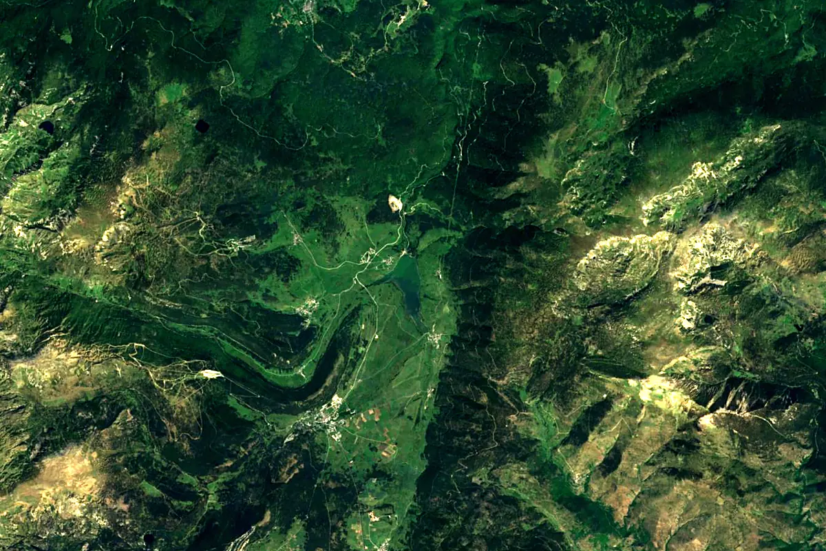
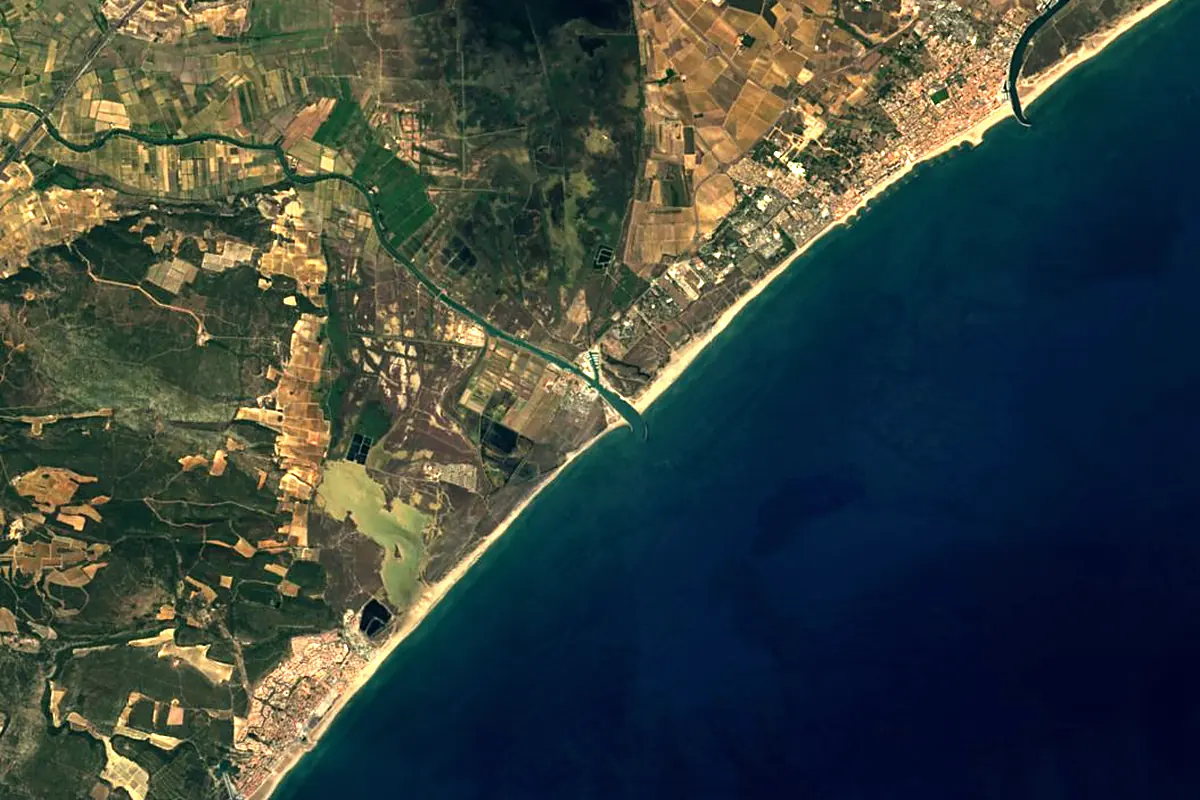
Sentinel-2 cloudless 2016 by EOX IT Services GmbH (contains modified Copernicus Sentinel data 2016), CC BY 4.0. The glowing line is the river as drawn by RiverATLAS.
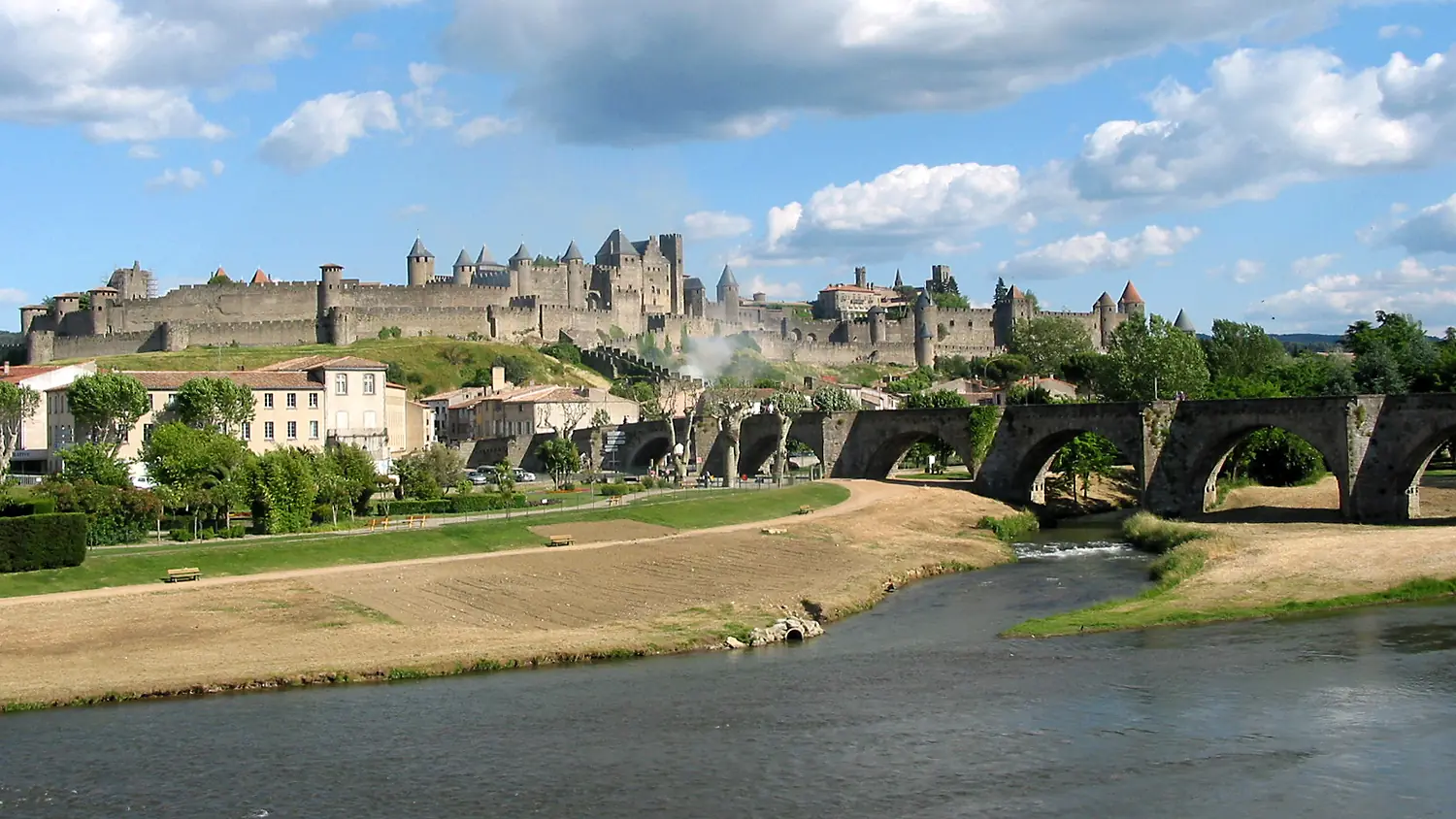
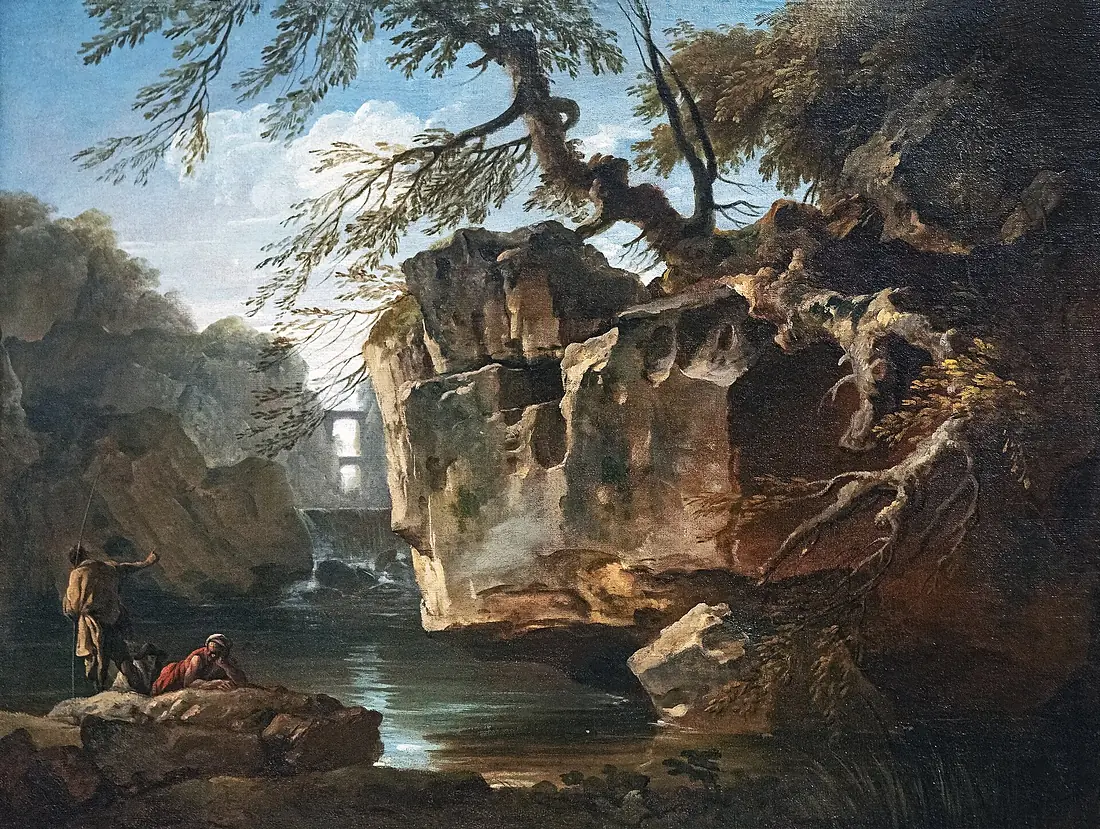
Photos
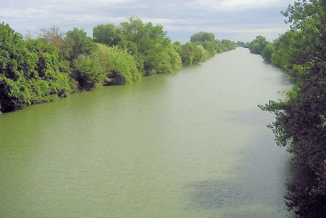
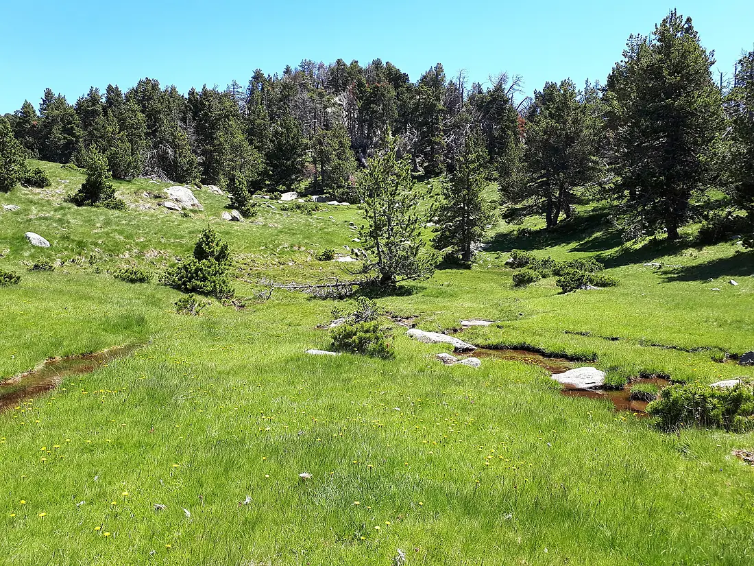
Aude in pictures
Tributaries
Where it flows, and what flows into it
Tributaries (19)
Also: Orbieu, Fresquel, Cesse, Argent-Double, Orbiel, Lauquet, Lladura, Sals, Corneilla, Sou de Val de Daigne, Bruyante, Rébenty, Répudre, Ognon, Aiguette, Ruisseau de Naval, Cougaing, Galba (Capcir), Bretonne
 Spain
SpainWhere these numbers come from
| Name, length, places | Wikidata (Q214240) · CC0 |
|---|---|
| Course, profile, basin | RiverATLAS v1.0 (HydroATLAS, Linke et al. 2019) · CC BY 4.0 — followed along the river network from the point given by Wikidata |
| Flow | WaterGAP (RiverATLAS), 1971–2000 · CC BY 4.0 |
| Climate along the river | WorldClim (RiverATLAS), 1970–2000 · CC BY 4.0 |
| Towns, bridges, dams | Wikidata · CC0; GeoNames · CC BY 4.0 |
| Along the river | © OpenStreetMap contributors · ODbL |
| Images | EOX Sentinel-2 cloudless 2016 · CC BY 4.0; Wikimedia Commons |
| Our other atlases | Lakeyas, Coastya, Peakyas, Islandyas — Wikidata · CC0; © OpenStreetMap contributors · ODbL; GeoNames · CC BY 4.0; HydroLAKES · CC BY 4.0; NOAA OISST |
Every source and licence is on the data sources page.
The family
Do you prefer beaches, lakes, mountains, waterfalls, islands, rivers or canyons?
Same idea, other landscapes: field atlases built on open data, month by month, in seven languages.
beaches Find your beach: sea temperature, sun and swimming month by month.Visit lakes
 Every lake on Earth: water temperature, ice, depth and the shore.Coming soonVisit mountains
 Every summit in 3D: summit weather, the 0 °C line, huts and trails.Visit
  waterfalls
 Every waterfall: height, flow month by month and when it roars.Coming soonVisit islands
 Every island from the sea up: size, sea temperature, ferries and 3D.Coming soonVisit
  rivers
 Every river from source to sea: the journey, the flow and the basin in numbers.You are here
 canyons
 Every canyon cut to scale: depth to the floor, rim and floor temperatures, trails and viewpoints.Coming soonVisit