River
Great Whale River
726 km from source to mouth · Canada.
 CanadaFlows into Hudson Bay
In numbers
Length
726km
Average flow
680m³/s
Basin
44,735km²
Drop
495m
from 493 m to -2 m
Country
1
The journey
From source to mouth
726 km of river and 59 stops on the way: 0 towns and cities on its banks, dams, bridges and the tributaries that feed it.
- 0 kmSourceat 493 m
- 3 kmLac Labossière4.7 km²
- 7 kmLac Girauday17 km²
- 21 kmLac Rouer1.6 km²
- 23 kmLac Lamberville15 km²
- 28 kmLac Prieur6.8 km²
- 28 kmLac Montesson2.2 km²
- 33 kmLac Cognac12 km²
- 40 kmLac Duralde2.9 km²
- 46 kmLac Tassigny3.1 km²
- 48 kmLac Roman16 km²
- 49 kmLac Pomcy2.1 km²
- 52 kmLac Joinville4.3 km²
- 64 kmLac Molleville13 km²
- 68 kmLac Chastenay8.5 km²
- 69 kmLac Gaudin5.7 km²
- 72 kmLac Mondragon3.3 km²
- 72 kmLac Turreau1.9 km²
- 73 kmLac Naudin2.4 km²
- 80 kmLac Raguideau1.6 km²
- 85 kmLac Grosbois9.1 km²
- 88 kmLac Bourgtalon7.7 km²
- 89 kmLac Dorcy1.3 km²
- 92 kmLac Novereau3.6 km²
- 103 kmLac Balleray3.8 km²
- 106 kmLac Daumale2.5 km²
- 106 kmLac Jacquemont21 km²
- 114 kmLac Delaroche9.3 km²
- 122 kmLac Brucy1.8 km²
- 125 kmLac Sanchagrin7.1 km²
- 126 kmLac Bégon2.3 km²
- 131 kmLac Joullin2.5 km²
- 132 kmLac Danneville5.7 km²
- 135 kmLac Deroy2.2 km²
- 138 kmLac Sablons3.1 km²
- 141 kmLac Manuel2.9 km²
- 145 kmLac Camdon1.6 km²
- 150 kmLac Ducasse13 km²
- 153 kmLac Prévert1.6 km²
- 156 kmLac Laurac7.0 km²
- 161 kmLac Joyant3.0 km²
- 163 kmLac Chastenet30 km²
- 165 kmLac Magne11 km²
- 198 kmLac Maurel69 km²
- 226 kmLac Louet46 km²
- 321 kmLac Bienville963 km²
- 327 kmLac Paimpont26 km²
- 362 kmLac Chipas Atat1.5 km²
- 388 kmLac Kawauyakamasich0.3 km²
- 409 kmLac Atikamakw2.8 km²
- 415 kmLac Mwakw2.9 km²
- 445 kmLac Misiyatiwakami1.1 km²
- 461 kmLac Atitikwapustasich0.6 km²
- 467 kmRivière Laguernetributary
- 471 kmLac Kachinukamach4.2 km²
- 598 kmRivière Coatstributary
- 642 kmDenys Rivertributary
- 645 kmChute Amitapanuch
- 663 kmChute Qurlutuq
- 673 kmRivière Kwakwatanikapistikwtributary
- 726 kmHudson Bayat -2 m
Water level along the river (RiverATLAS; the height is exaggerated). Towns: GeoNames and Wikidata; bridges, dams and tributaries: Wikidata.
Watercourse in Quebec, Canada
At the mouth it carries 680 m³/s on average: an Olympic pool every 3.7 seconds. It drops from 493 m to -2 m, 0.7 m per kilometre on average. Its basin covers 44,735 km², about the size of EE. Highest water, with the snowmelt: from June to July; lowest: from January to April. Dams and reservoirs hold back a large share of its water (10% of a year's flow).
Where to start
- Kuujjuarapik Airport (YGW)Nearest airport with scheduled flights, 2 km from the cityCar hire at YMT airport (Chibougamau)Discover Cars · Affiliate link↗
- Kayak and canoe283 put-ins and rapids mapped (OpenStreetMap)
- From July to AugustThe best months to visit
Great Whale River, month by month
Highest water: from June to July
Lowest water: from January to April. Freezing months (average below −4 °C): from November to April. Melting snow makes up much of its water. Best months to visit: from July to August.
From about 350 m³/s in the lowest month to 800 m³/s in the highest. An estimate: the monthly flow is modelled from the lowest and highest months of WaterGAP (RiverATLAS, 1971–2000) and the rain and snow along the river (WorldClim). Dams change the real rhythm. The chip is the average air temperature; below it, the month's rain.
Plan the trip
Plan the trip: boat trips, a bed by the river, a car
Some links above are affiliate links: if you book through them we may earn a commission, at no extra cost to you. It never changes what the data on this page says.
The basin
Great Whale River: the basin in numbers
41,168 km² of land send their water to this river. This is what lives on it.
- 815people live in the basin
- 362maverage altitude of the basin
- 686mmof rain a year (basin average)
- -5.2°Caverage air temperature
- 17.7%covered by lakes
- 59%permafrost
- 1.8km³held in reservoirs
What covers the basin
- 55% Forest
RiverATLAS (HydroATLAS v1.0, CC BY 4.0): land cover, people, protected areas, glaciers and dams over the whole basin upstream of the mouth.
Along the river
Great Whale River: what you find on the way
- 3Waterfalls
- 283Rapids
From OpenStreetMap, within 2.2 km of the river. Not mapped is not the same as not there.
Cross-checked with our atlases
Great Whale River in our other atlases
What our sister atlases know about the waterfalls on this river, the lakes it flows through, the beaches at its mouth, the mountains where it rises and the islands off its mouth.
 2waterfalls on the riverCascadyas
 53lakes on its wayLakeyas
 1island off the mouthIslandyas
Waterfalls (2)
On the river, by Cascadyas
- Chute Amitapanuchkm 653
- Chute Qurlutuqkm 672
Cascadyas is coming soonOpen Cascadyas ↗
Lakes and reservoirs (53)
Lakes it flows through, by Lakeyas
- Lac Giraudaykm 717km²
- Lac Mollevillekm 6513km²
- Lac Jacquemontkm 10821km²
- Lac Chastenetkm 16530km²
- Lac Maurelkm 20169km²
- Lac Louetkm 22946km²
- Lac Bienvillekm 325963km²
- Lac Paimpontkm 33226km²
45 more on LakeyasLakeyas is coming soonOpen Lakeyas ↗
Islands off the mouth (1)
Within 30 km of the mouth, by Islandyas
- Merry Island27 km away63km²
Islandyas is coming soonOpen Islandyas ↗
From space
The source and the mouth, seen from orbit
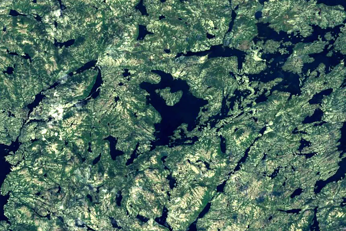
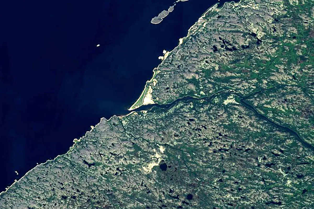
Sentinel-2 cloudless 2016 by EOX IT Services GmbH (contains modified Copernicus Sentinel data 2016), CC BY 4.0. The glowing line is the river as drawn by RiverATLAS.
Photos
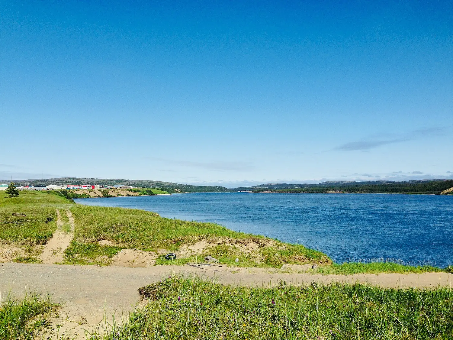
Great Whale River in pictures
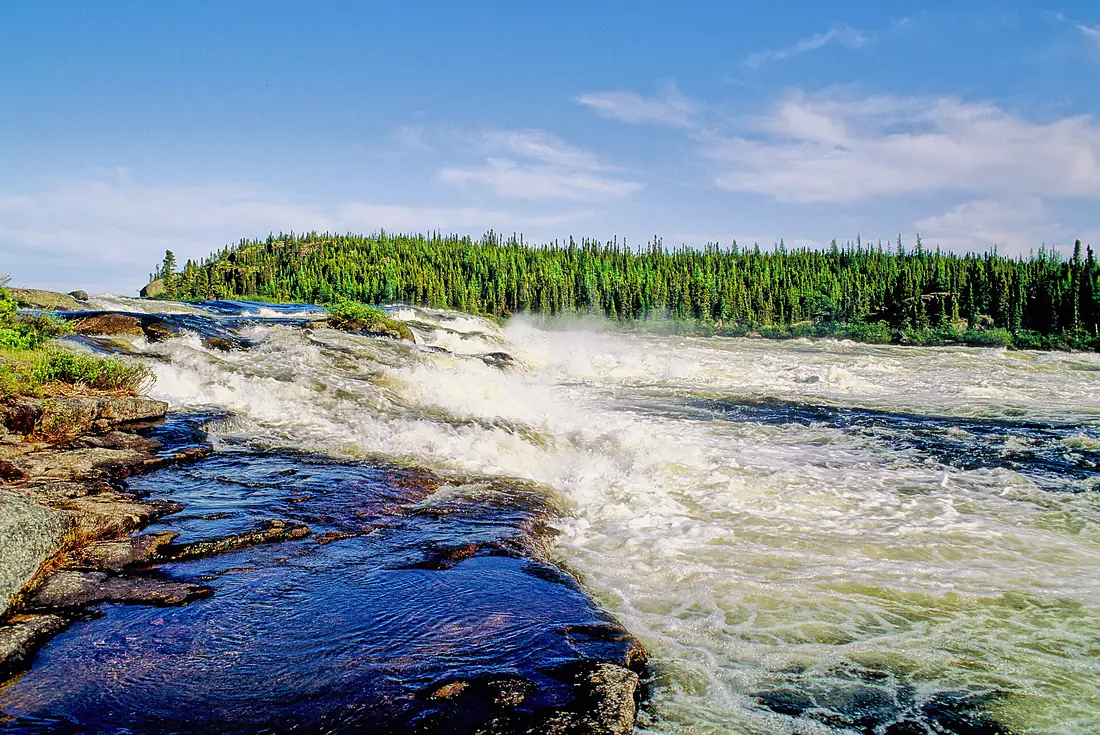
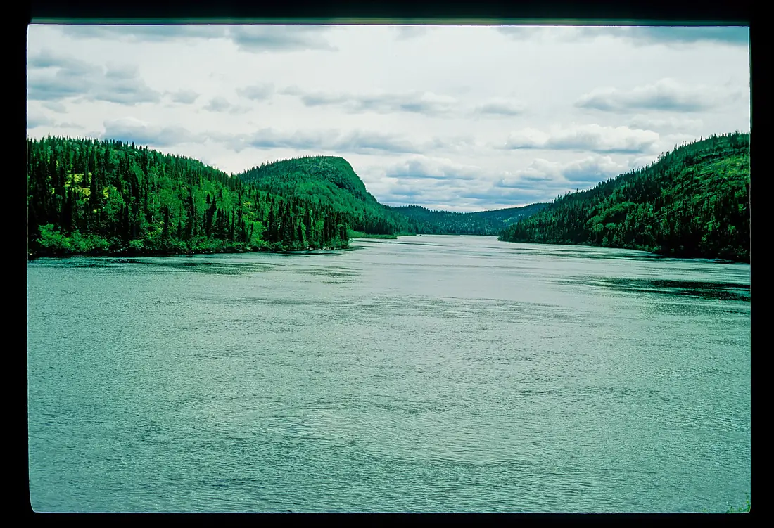
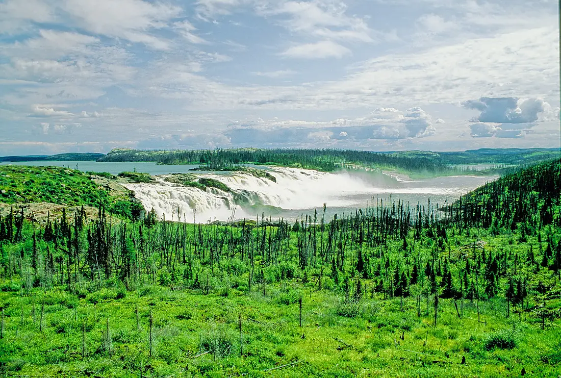
Tributaries
Where it flows, and what flows into it
Tributaries (4)
Also: Denys River, Rivière Kwakwatanikapistikw, Rivière Coats, Rivière Laguerne
Nearby
Rivers nearby
Canada756 km1,000 m³/s341 km awayAttawapiskat RiverCanada748 km630 m³/s396 km awayAlbany RiverCanada832 km1,400 m³/s416 km awayRivière RupertCanada763 km900 m³/s425 km awayRivière NottawayCanada225 km1,200 m³/s458 km awayHarricana RiverCanada533 km570 m³/s478 km awayWinisk RiverCanada600 km690 m³/s470 km awayWhere these numbers come from
| Name, length, places | Wikidata (Q251648) · CC0 |
|---|---|
| Course, profile, basin | RiverATLAS v1.0 (HydroATLAS, Linke et al. 2019) · CC BY 4.0 — followed from the source to the mouth given by Wikidata |
| Flow | WaterGAP (RiverATLAS), 1971–2000 · CC BY 4.0 |
| Climate along the river | WorldClim (RiverATLAS), 1970–2000 · CC BY 4.0 |
| Towns, bridges, dams | Wikidata · CC0; GeoNames · CC BY 4.0 |
| Along the river | © OpenStreetMap contributors · ODbL |
| Images | EOX Sentinel-2 cloudless 2016 · CC BY 4.0; Wikimedia Commons |
| Our other atlases | Cascadyas, Lakeyas, Islandyas — Wikidata · CC0; © OpenStreetMap contributors · ODbL; GeoNames · CC BY 4.0; HydroLAKES · CC BY 4.0; NOAA OISST |
Every source and licence is on the data sources page.
The family
Do you prefer beaches, lakes, mountains, waterfalls, islands, rivers or canyons?
Same idea, other landscapes: field atlases built on open data, month by month, in seven languages.
 beaches
 Find your beach: sea temperature, sun and swimming month by month.Visit lakes
 Every lake on Earth: water temperature, ice, depth and the shore.Coming soonVisit
  mountains
 Every summit in 3D: summit weather, the 0 °C line, huts and trails.Visit waterfalls
 Every waterfall: height, flow month by month and when it roars.Coming soonVisit islands
 Every island from the sea up: size, sea temperature, ferries and 3D.Coming soonVisit
  rivers
 Every river from source to sea: the journey, the flow and the basin in numbers.You are here
 canyons
 Every canyon cut to scale: depth to the floor, rim and floor temperatures, trails and viewpoints.Coming soonVisit