River
Jhelum River
774 km from source to mouth · Pakistan and India.

 Pakistan and IndiaFlows into Chenab River4th longest in Pakistan
In numbers
Length
774km
Average flow
540m³/s
Basin
55,300km²
Drop
1,704m
from 1,851 m to 147 m
Countries
2
The journey
From source to mouth
774 km of river and 51 stops on the way: 29 towns and cities on its banks, dams, bridges and the tributaries that feed it.
- 0 kmSourceat 1,851 m
- 1 kmVerinag Spring
- 5 kmDooru Verinag22,968 people
- 16 kmQāzigund9,871 people
- 26 kmQuimoh13,138 people
- 27 kmAnantnag108,505 people
- 30 kmLidder Rivertributary
- 34 kmArwani11,815 people
- 35 kmBijbehara24,590 people
- 40 kmVeshaw Rivertributary
- 51 kmAwantipur12,647 people
- 51 kmAvanti Swami Temple
- 52 kmAvantisvara Temple Complex
- 66 kmPāmpur21,680 people
- 75 kmBadāmibāgh22,214 people
- 75 kmZero Bridge
- 76 kmAbdullah Bridge
- 77 kmLal Mandi Footbridge
- 78 kmBudshah Bridge
- 79 kmSrinagar1,180,570 people
- 98 kmSind Rivertributary
- 103 kmSumbal15,041 people
- 104 kmManasbal Lake2.1 km²
- 105 kmSafāpūr10,471 people
- 112 kmHājan13,239 people
- 112 kmAhansar Lake0.5 km²
- 134 kmWular Lake41 km²
- 138 kmSopur71,292 people
- 138 kmSopore118,608 people
- 152 kmBāramūla77,276 people
- 152 kmBaramulla71,434 people
- 188 kmUri9,366 people
- 219 kmHattiān Bāla11,880 people
- 252 kmMuzaffarabad149,913 people
- 252 kmMuzaffarābād725,000 people
- 252 kmNeelum Rivertributary
- 253 kmEarthquake Memorial Bridge
- 262 kmKunhar Rivertributary
- 285 kmKohala Bridge
- 411 kmMangla Reservoir175 km²
- 414 kmMangla Dam
- 447 kmJhelum312,426 people
- 448 kmJhelum Bridge
- 448 kmSarai Alamgir73,967 people
- 458 kmKahan Rivertributary
- 481 kmRasul Barrage
- 513 kmMalakwal371,869 people
- 513 kmMalakwal City35,000 people
- 528 kmPind Dadan Khan29,935 people
- 544 kmBhera31,781 people
- 603 kmKhushāb102,793 people
- 604 kmKhushab110,868 people
- 774 kmChenab Riverat 147 m
Water level along the river (RiverATLAS; the height is exaggerated). Towns: GeoNames and Wikidata; bridges, dams and tributaries: Wikidata.
River in India and Pakistan
At the mouth it carries 542 m³/s on average: an Olympic pool every 4.6 seconds. It drops from 1,851 m to 147 m, 2.2 m per kilometre on average. Its basin covers 55,300 km², about the size of HR. 16.9 million people live in it. Highest water: from August to September; lowest: from November to January and June. Dams and reservoirs hold back a large share of its water (44% of a year's flow).
Where to start
- SrinagarLargest city on its banks · 1,180,570 people
- Srinagar International Airport (SXR)Nearest airport with scheduled flights, 12 km from the cityCar hire in IslamabadDiscover Cars · Affiliate link↗
- On the water10 ferry piers, marinas, boat rentals and boat ramps along the river (OpenStreetMap)
- From March to April and from October to NovemberThe best months to visit
Jhelum River, month by month
Highest water: from August to September
Lowest water: from November to January and June. Best months to visit: from March to April and from October to November.
From about 120 m³/s in the lowest month to 1,200 m³/s in the highest. An estimate: the monthly flow is modelled from the lowest and highest months of WaterGAP (RiverATLAS, 1971–2000) and the rain and snow along the river (WorldClim). Dams change the real rhythm. The chip is the average air temperature; below it, the month's rain.
Plan the trip
Plan the trip: boat trips, a bed by the river, a car
Some links above are affiliate links: if you book through them we may earn a commission, at no extra cost to you. It never changes what the data on this page says.
The basin
Jhelum River: the basin in numbers
49,801 km² of land send their water to this river. This is what lives on it.
- 16.9millionpeople live in the basin
- 342/km²people per km²
- 1,688maverage altitude of the basin
- 701mmof rain a year (basin average)
- 14.4°Caverage air temperature
- 6%protected areas
- 0.6%covered by lakes
- 2%permafrost
- 7.4km³held in reservoirs
What covers the basin
- 22% Forest
- 38% Cropland
- 8% Pasture
- 9% Towns and cities
RiverATLAS (HydroATLAS v1.0, CC BY 4.0): land cover, people, protected areas, glaciers and dams over the whole basin upstream of the mouth.
Along the river
Jhelum River: what you find on the way
- 17WeirsChattabal Weir and 16 more
- 3Ferry piers
From OpenStreetMap, within 2.2 km of the river. Not mapped is not the same as not there.
Cross-checked with our atlases
Jhelum River in our other atlases
What our sister atlases know about the waterfalls on this river, the lakes it flows through, the beaches at its mouth, the mountains where it rises and the islands off its mouth.
 4lakes on its wayLakeyas
 4mountains at the sourcePeakyas
Lakes and reservoirs (4)
Lakes it flows through, by Lakeyas
- Manasbal Lakekm 1102.1km²
- Ahansar Lakekm 1190.5km²
- Wular Lakekm 142 · 14 m deep41km²
- Mangla Reservoirkm 436175km²
Lakeyas is coming soonOpen Lakeyas ↗
Mountains at the source (4)
Within 15 km of the source, by Peakyas
- Dubli8.8 km away
- Hankwattan12 km away
- Maliakal13 km away
- Burzabathar8.8 km away
From space
The source and the mouth, seen from orbit
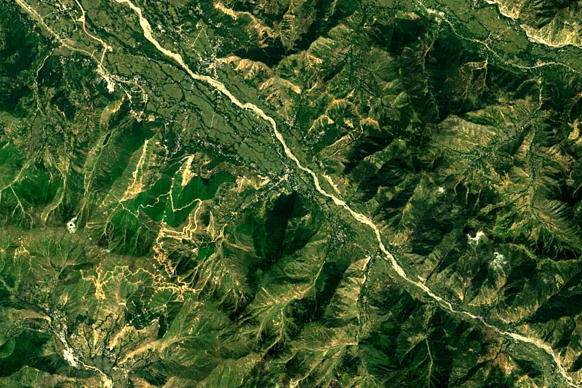
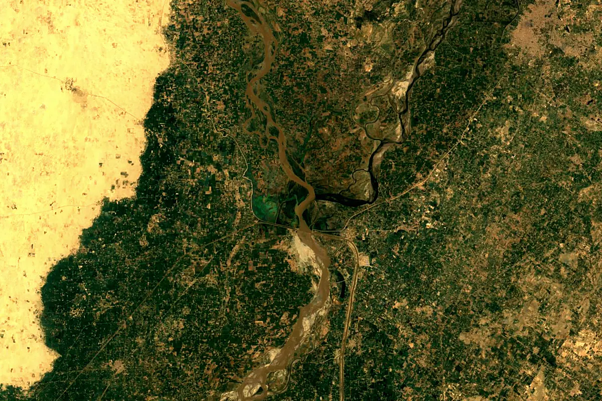
Sentinel-2 cloudless 2016 by EOX IT Services GmbH (contains modified Copernicus Sentinel data 2016), CC BY 4.0. The glowing line is the river as drawn by RiverATLAS.
Photos
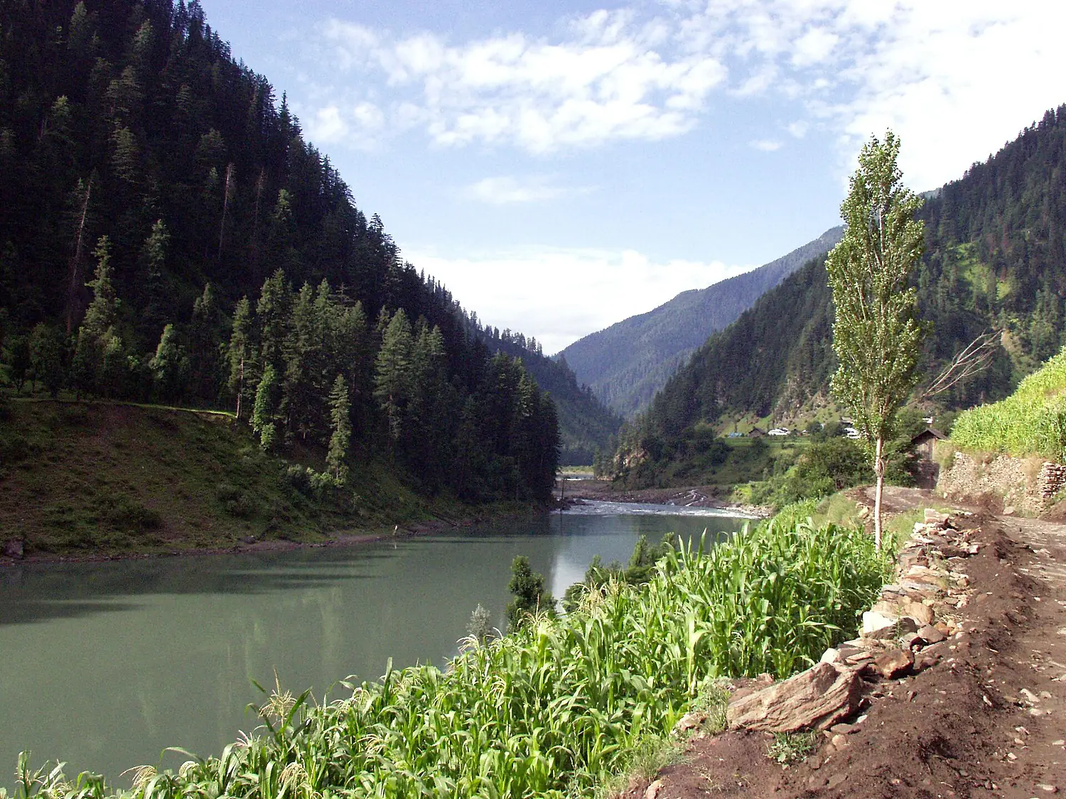
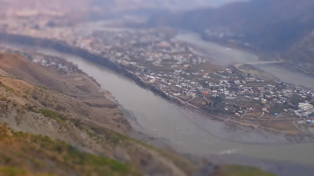
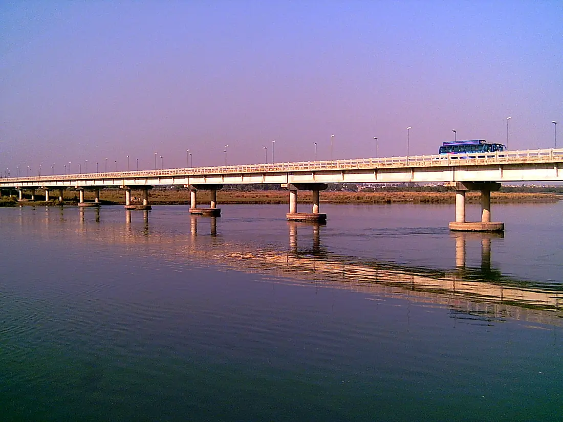
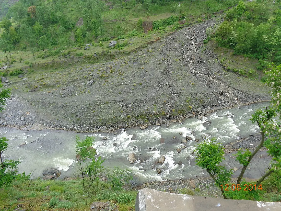
Jhelum River in pictures
Tributaries
Where it flows, and what flows into it
It flows into
Chenab RiverPakistan1,974 km1,600 m³/sTributaries (8)
Also: Neelum River, Lidder River, Kunhar River, Poonch River, Sind River, Veshaw River, Kahan River, Mahl River
 Afghanistan
Where these numbers come from
| Name, length, places | Wikidata (Q214874) · CC0 |
|---|---|
| Course, profile, basin | RiverATLAS v1.0 (HydroATLAS, Linke et al. 2019) · CC BY 4.0 — followed from the source to the mouth given by Wikidata |
| Flow | WaterGAP (RiverATLAS), 1971–2000 · CC BY 4.0 |
| Climate along the river | WorldClim (RiverATLAS), 1970–2000 · CC BY 4.0 |
| Towns, bridges, dams | Wikidata · CC0; GeoNames · CC BY 4.0 |
| Along the river | © OpenStreetMap contributors · ODbL |
| Images | EOX Sentinel-2 cloudless 2016 · CC BY 4.0; Wikimedia Commons |
| Our other atlases | Lakeyas, Peakyas — Wikidata · CC0; © OpenStreetMap contributors · ODbL; GeoNames · CC BY 4.0; HydroLAKES · CC BY 4.0; NOAA OISST |
Every source and licence is on the data sources page.
The family
Do you prefer beaches, lakes, mountains, waterfalls, islands, rivers or canyons?
Same idea, other landscapes: field atlases built on open data, month by month, in seven languages.
 beaches
 Find your beach: sea temperature, sun and swimming month by month.Visit lakes
 Every lake on Earth: water temperature, ice, depth and the shore.Coming soonVisit mountains
 Every summit in 3D: summit weather, the 0 °C line, huts and trails.Visit
  waterfalls
 Every waterfall: height, flow month by month and when it roars.Coming soonVisit
  islands
 Every island from the sea up: size, sea temperature, ferries and 3D.Coming soonVisit
  rivers
 Every river from source to sea: the journey, the flow and the basin in numbers.You are here
 canyons
 Every canyon cut to scale: depth to the floor, rim and floor temperatures, trails and viewpoints.Coming soonVisit