River
Klarälven
460 km from source to mouth · Sweden and Norway.
 Sweden and NorwayFlows into Vänern4th longest in Sweden
In numbers
Length
460km
Average flow
160m³/s
Basin
11,800km²
Drop
694m
from 739 m to 45 m
Countries
2
The journey
From source to mouth
460 km of river and 61 stops on the way: 10 towns and cities on its banks, dams, bridges and the tributaries that feed it.
- 0 kmHöljesjönat 739 m
- 0 kmVåndåhåan0.3 km²
- 0 kmLitle Vonsjøen3.2 km²
- 2 kmRogen36 km²
- 3 kmRogshåen0.6 km²
- 14 kmNedre Roasten2.3 km²
- 69 kmFemund202 km²
- 72 kmGløtfossen
- 76 kmIsteren29 km²
- 77 kmIsterfossen
- 81 kmGaltsjøen2.9 km²
- 88 kmViksæterfossen
- 93 kmKvannhullfossen
- 93 kmFløtfossen
- 95 kmElvbrufossen
- 96 kmElvsæterfossen
- 125 kmSennsjøen3.0 km²
- 130 kmFemundselvatributary
- 132 kmBørsfossen
- 135 kmStyggfossen
- 135 kmHestskofossen
- 136 kmEngeren12 km²
- 138 kmStupen
- 183 kmSagnfossen
- 212 kmHöljesjön16 km²
- 212 kmHöljes Hydroelectric Power Station
- 249 kmSysslebäck402 people
- 252 kmVingängsjön0.8 km²
- 274 kmFämtantributary
- 274 kmFämtfallet
- 304 kmStavsjön0.5 km²
- 318 kmÖstra Harasjön1.6 km²
- 325 kmEkshärad955 people
- 332 kmAcksjön1.2 km²
- 339 kmNorra Lemundtjärnen0.3 km²
- 342 kmBusjön7.8 km²
- 351 kmRådasjön11 km²
- 352 kmRåda339 people
- 354 kmKrakerudsdammen1.2 km²
- 358 kmLakenesjön9.3 km²
- 377 kmMunkfors2,841 people
- 381 kmVågsjöarna0.7 km²
- 386 kmRansäter103 people
- 394 kmLillsjön0.5 km²
- 398 kmEmsen2.0 km²
- 404 kmSkivtjärn0.3 km²
- 407 kmVisten32 km²
- 408 kmDeje2,717 people
- 411 kmSyrsjön0.8 km²
- 412 kmLusten3.4 km²
- 413 kmTjunken0.4 km²
- 415 kmBergstjärn0.6 km²
- 417 kmBlysjön2.1 km²
- 422 kmForshaga6,433 people
- 426 kmNorra Hyen0.9 km²
- 427 kmNorsjön0.7 km²
- 429 kmSödra Hyn4.2 km²
- 435 kmSkåre5,444 people
- 439 kmRåtorp3,287 people
- 442 kmKarlstad69,615 people
- 442 kmÖstra bron
- 444 kmKroppkärrssjön0.7 km²
- 460 kmVänernat 45 m
Water level along the river (RiverATLAS; the height is exaggerated). Towns: GeoNames and Wikidata; bridges, dams and tributaries: Wikidata.
River in Sweden and Norway
At the mouth it carries 165 m³/s on average: an Olympic pool every 15 seconds. It drops from 739 m to 45 m, 1.5 m per kilometre on average. Its basin covers 11,800 km², about the size of QA. 79,000 people live in it. Highest water: from April to June; lowest: from December to March. Its dams hold back little of its water (8.8% of a year's flow).
Where to start
- KarlstadLargest city on its banks · 69,615 people
- Karlstad Airport (KSD)Nearest airport with scheduled flights, 12 km from the cityCar hire at KSD airport (Karlstad)Discover Cars · Affiliate link↗
- On the water34 ferry piers, marinas, boat rentals and boat ramps along the river (OpenStreetMap)
- Kayak and canoe11 put-ins and rapids mapped (OpenStreetMap)
- From June to AugustThe best months to visit
Klarälven, month by month
Highest water: from April to June
Lowest water: from December to March. Freezing months (average below −4 °C): from December to February. Best months to visit: from June to August.
From about 120 m³/s in the lowest month to 180 m³/s in the highest. An estimate: the monthly flow is modelled from the lowest and highest months of WaterGAP (RiverATLAS, 1971–2000) and the rain and snow along the river (WorldClim). Dams change the real rhythm. The chip is the average air temperature; below it, the month's rain.
Plan the trip
Plan the trip: boat trips, a bed by the river, a car
Some links above are affiliate links: if you book through them we may earn a commission, at no extra cost to you. It never changes what the data on this page says.
The basin
Klarälven: the basin in numbers
12,255 km² of land send their water to this river. This is what lives on it.
- 79,000people live in the basin
- 7/km²people per km²
- 523maverage altitude of the basin
- 655mmof rain a year (basin average)
- 2.0°Caverage air temperature
- 12%protected areas
- 7.0%covered by lakes
- 1%permafrost
- 0.4km³held in reservoirs
What covers the basin
- 66% Forest
RiverATLAS (HydroATLAS v1.0, CC BY 4.0): land cover, people, protected areas, glaciers and dams over the whole basin upstream of the mouth.
Along the river
Klarälven: what you find on the way
- 10WeirsGløtfossdammen and 9 more
- 24WaterfallsØver Fallet, Gløtfossen, Isterfossen and 21 more
- 11RapidsØvre Fallet, Nedre Fallet, Strikåsa and 8 more
- 12Boat ramps
- 18Ferry piersRøa, Femundshytta, Haugen and 15 more
- 3MarinasKarlstads gästhamn
- 16River beachesBranäs beach, Råda Beach, Arnäs badplats and 13 more
From OpenStreetMap, within 1.9 km of the river. Not mapped is not the same as not there.
Cross-checked with our atlases
Klarälven in our other atlases
What our sister atlases know about the waterfalls on this river, the lakes it flows through, the beaches at its mouth, the mountains where it rises and the islands off its mouth.
 13waterfalls on the riverCascadyas
 34lakes on its wayLakeyas
 25mountains at the sourcePeakyas
Waterfalls (13)
On the river, by Cascadyas
- Gløtfossenkm 71
- Isterfossenkm 76
- Viksæterfossenkm 87
- Kvannhullfossenkm 92
- Fløtfossenkm 92
- Elvbrufossenkm 94
- Elvsæterfossenkm 95
- Fämtfalletkm 272
5 more on CascadyasCascadyas is coming soonOpen Cascadyas ↗
Lakes and reservoirs (34)
Lakes it flows through, by Lakeyas
- Rogenkm 236km²
- Nedre Roastenkm 132.3km²
- Femundkm 68 · 132 m deep202km²
- Isterenkm 7629km²
- Engerenkm 13512km²
- Höljesjönkm 21016km²
- Rådasjönkm 348 · 83 m deep11km²
- Vistenkm 403 · 34 m deep32km²
26 more on LakeyasLakeyas is coming soonOpen Lakeyas ↗
Mountains at the source (25)
Within 15 km of the source, by Peakyas
- Stor-Svuku13 km away1,421m
- Grøthogna13 km away1,402m
- Brattriet12 km away1,276m
- Kratlvola5.8 km away1,079m
- Rønsjøruten13 km away1,080m
- Norra Hävlingskläppen15 km away972m
- Slagufjället13 km away
- Litl-Svuku14 km away
17 more on PeakyasOpen Peakyas ↗
From space
The source and the mouth, seen from orbit
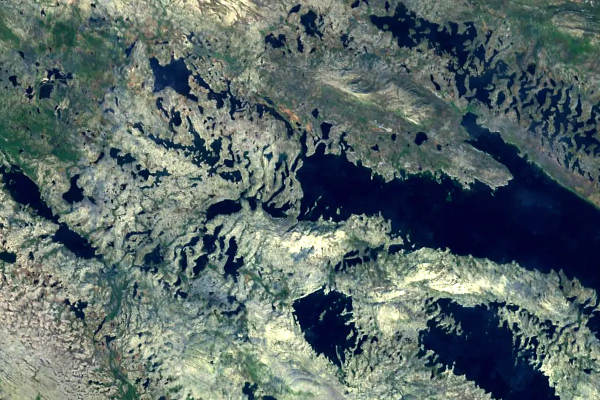
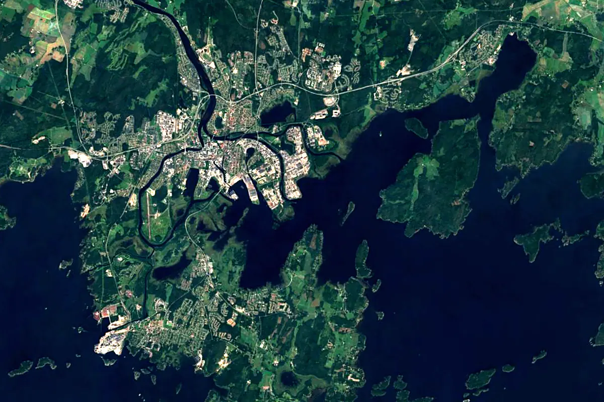
Sentinel-2 cloudless 2016 by EOX IT Services GmbH (contains modified Copernicus Sentinel data 2016), CC BY 4.0. The glowing line is the river as drawn by RiverATLAS.
Photos
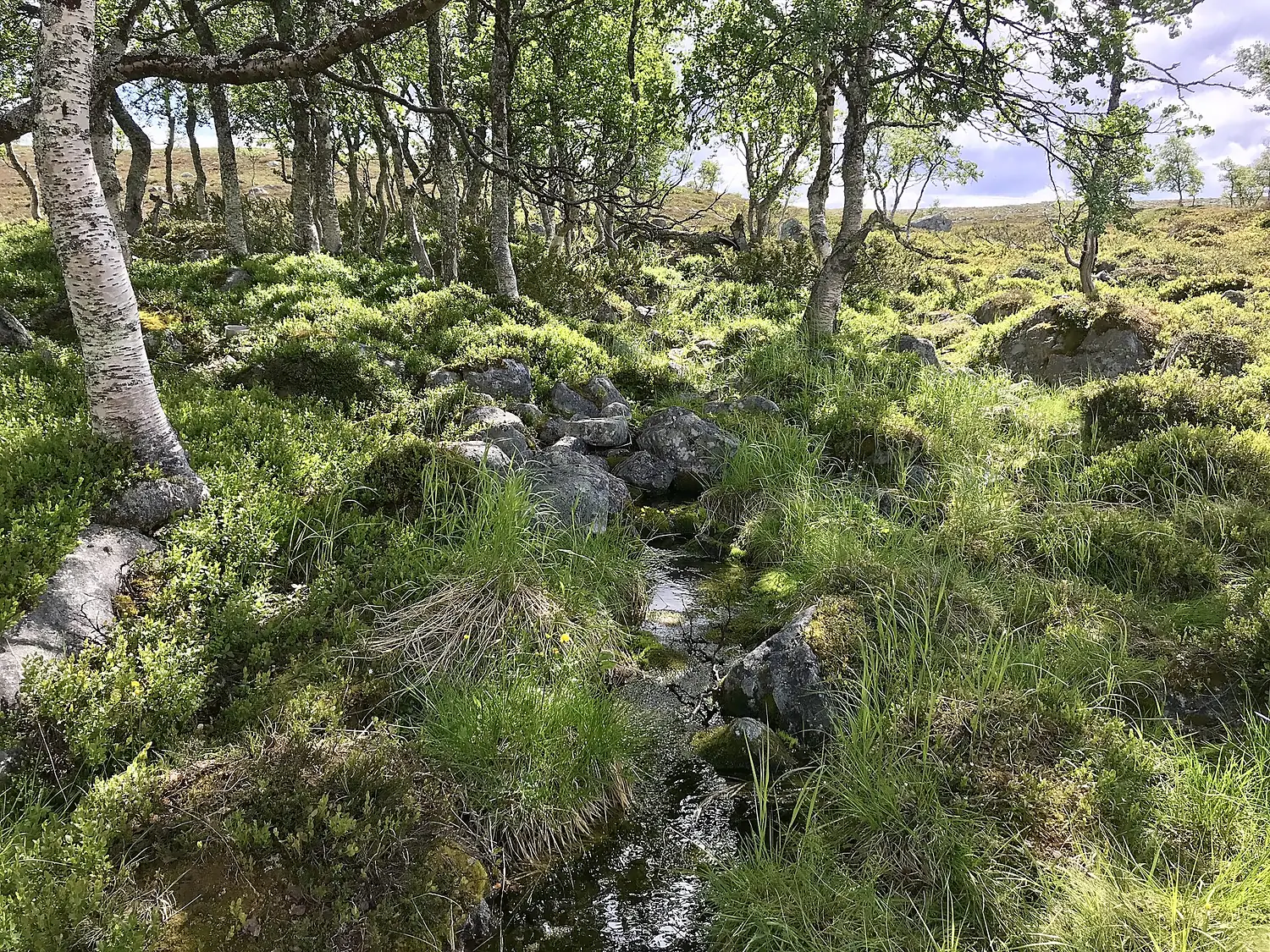
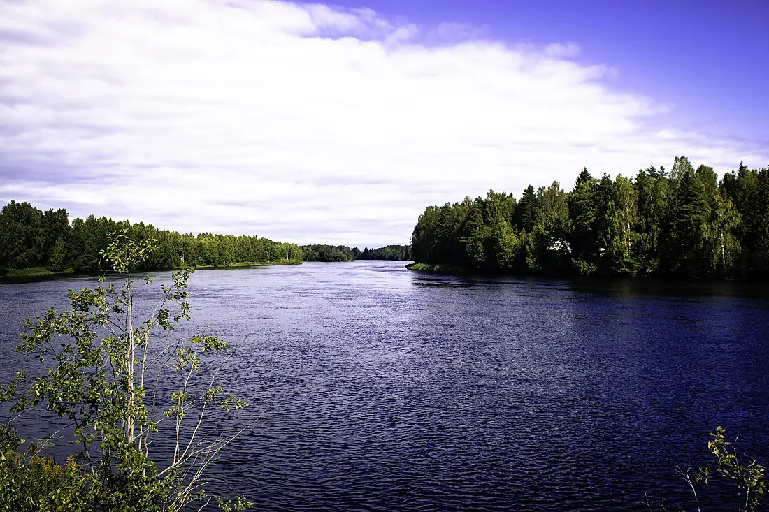
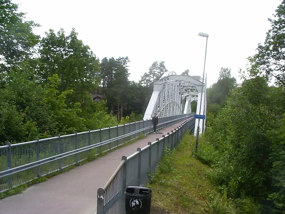
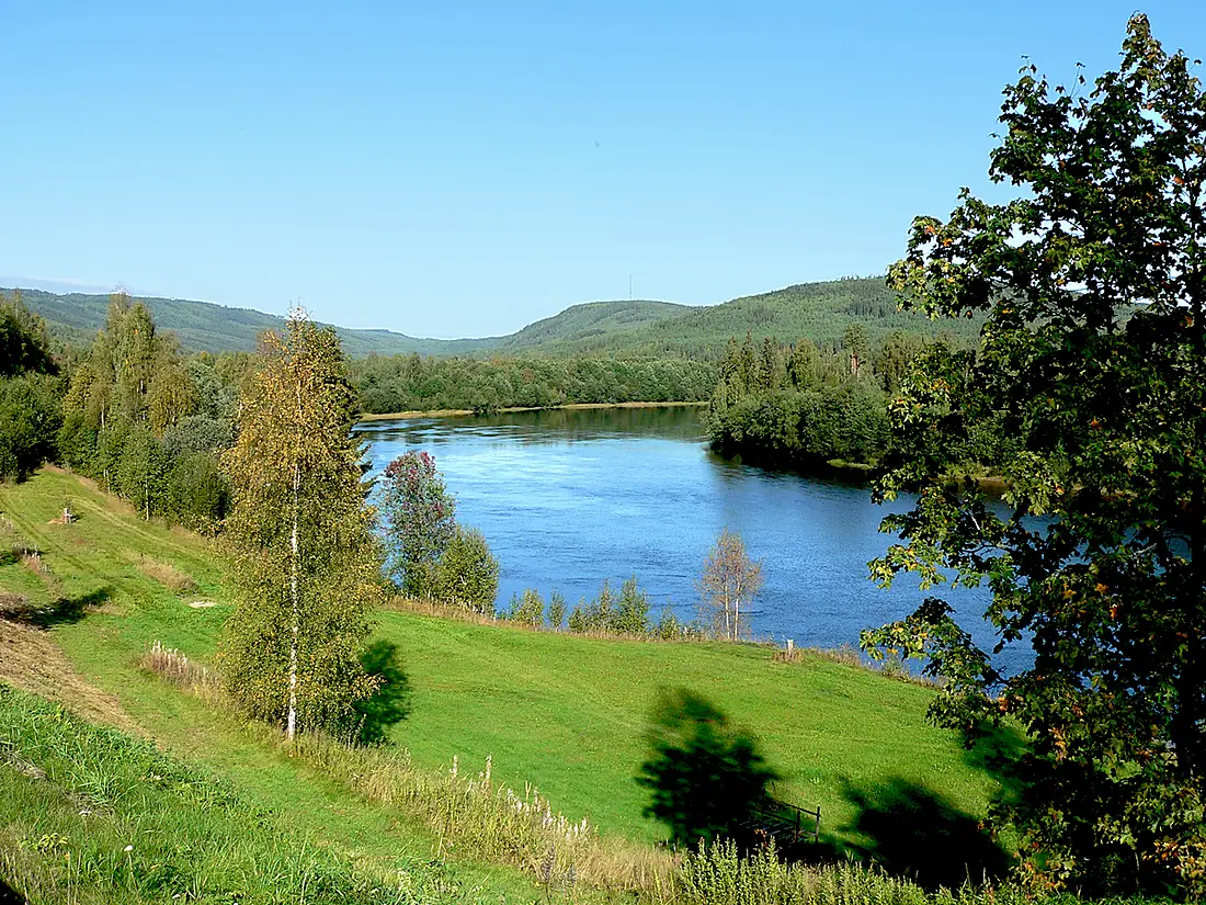
Klarälven in pictures
Tributaries
Where it flows, and what flows into it
Tributaries (4)
Also: Femundselva, Fämtan, Flena, Elta
In the same basin
Nearby
Rivers nearby
Norway604 km720 m³/s150 km awayÖsterdal RiverSweden300 km150 m³/s157 km awayGöta älvSweden95 km570 m³/s200 km awayMotala strömSweden100 km100 m³/s175 km awayDrammenselvaNorway48 km310 m³/s192 km awayNumedalslågenNorway358 km96 m³/s203 km awayDalälvenSweden220 km350 m³/s258 km awayGudbrandsdalslågenNorway204 km220 m³/s260 km awayWhere these numbers come from
| Name, length, places | Wikidata (Q1338024) · CC0 |
|---|---|
| Course, profile, basin | RiverATLAS v1.0 (HydroATLAS, Linke et al. 2019) · CC BY 4.0 — followed from the source to the mouth given by Wikidata |
| Flow | WaterGAP (RiverATLAS), 1971–2000 · CC BY 4.0 |
| Climate along the river | WorldClim (RiverATLAS), 1970–2000 · CC BY 4.0 |
| Towns, bridges, dams | Wikidata · CC0; GeoNames · CC BY 4.0 |
| Along the river | © OpenStreetMap contributors · ODbL |
| Images | EOX Sentinel-2 cloudless 2016 · CC BY 4.0; Wikimedia Commons |
| Our other atlases | Cascadyas, Lakeyas, Peakyas — Wikidata · CC0; © OpenStreetMap contributors · ODbL; GeoNames · CC BY 4.0; HydroLAKES · CC BY 4.0; NOAA OISST |
Every source and licence is on the data sources page.
The family
Do you prefer beaches, lakes, mountains, waterfalls, islands, rivers or canyons?
Same idea, other landscapes: field atlases built on open data, month by month, in seven languages.
 beaches
 Find your beach: sea temperature, sun and swimming month by month.Visit lakes
 Every lake on Earth: water temperature, ice, depth and the shore.Coming soonVisit mountains
 Every summit in 3D: summit weather, the 0 °C line, huts and trails.Visit waterfalls
 Every waterfall: height, flow month by month and when it roars.Coming soonVisit
  islands
 Every island from the sea up: size, sea temperature, ferries and 3D.Coming soonVisit
  rivers
 Every river from source to sea: the journey, the flow and the basin in numbers.You are here
 canyons
 Every canyon cut to scale: depth to the floor, rim and floor temperatures, trails and viewpoints.Coming soonVisit