River
Neman
937 km from source to mouth · Lithuania, Russia and Belarus.
 Lithuania, Russia and BelarusFlows into Baltic Sea1st longest in Lithuania
In numbers
Length
937km
Average flow
680m³/s
Basin
98,200km²
Drop
171m
from 166 m to -5 m
Countries
3
The journey
From source to mouth
937 km of river and 68 stops on the way: 19 towns and cities on its banks, dams, bridges and the tributaries that feed it.
- 0 kmSourceat 166 m
- 12 kmUzda10,474 people
- 30 kmLošatributary
- 30 kmUsatributary
- 34 kmTurjatributary
- 74 kmStowbtsy17,603 people
- 92 kmSulatributary
- 103 kmUšatributary
- 117 kmServechtributary
- 137 kmLiubča923 people
- 146 kmWestern Berezinatributary
- 148 kmAĺšankatributary
- 150 kmOzero Chereshli0.4 km²
- 154 kmPlisatributary
- 177 kmGaujatributary
- 197 kmByarozawka11,800 people
- 214 kmBielica560 people
- 215 kmMoŭčadźtributary
- 242 kmLiebiadatributary
- 278 kmŠčaratributary
- 278 kmJelnjatributary
- 287 kmMasty14,091 people
- 287 kmMosty14,239 people
- 287 kmZel’vyanka Rivertributary
- 299 kmRośtributary
- 334 kmSvislaxtributary
- 341 kmKotratributary
- 362 kmHrodna364,902 people
- 365 kmHaradničankatributary
- 370 kmLasosnatributary
- 406 kmCzarna Hańczatributary
- 406 kmIgorka Rivertributary
- 406 kmBaltoji Ančiatributary
- 424 kmDruskininkai12,055 people
- 431 kmLiškiavis0.4 km²
- 453 kmMerkystributary
- 489 kmNemunaitis218 people
- 510 kmAlytus49,195 people
- 552 kmPeršėkėtributary
- 572 kmPrienai8,610 people
- 621 kmStrėva Rivertributary
- 643 kmKaunas Reservoir45 km²
- 643 kmKaunas Hydroelectric Power Plant
- 647 kmDainava (Kaunas)70,000 people
- 653 kmJiesiatributary
- 655 kmRailway Bridge, Kaunas
- 655 kmAleksotas24,270 people
- 656 kmKaunas305,120 people
- 658 kmVytautas the Great Bridge
- 660 kmŠilainiai40,600 people
- 662 kmNeristributary
- 664 kmLampėdis1.0 km²
- 667 kmGaižėnų tvenkinys0.3 km²
- 672 kmNevėžistributary
- 685 kmLiekėtributary
- 700 kmArmenatributary
- 700 kmNykatributary
- 704 kmDubysatributary
- 745 kmJurbarkas10,186 people
- 757 kmMituvatributary
- 770 kmViešvilė (Neman)tributary
- 789 kmŠešupėtributary
- 797 kmNeman12,507 people
- 800 kmMerguva0.5 km²
- 803 kmJūratributary
- 812 kmQueen Louise Bridge
- 814 kmVelnežeris0.3 km²
- 814 kmSovetsk43,309 people
- 869 kmKrokų Lanka7.5 km²
- 937 kmBaltic Seaat -5 m
Water level along the river (RiverATLAS; the height is exaggerated). Towns: GeoNames and Wikidata; bridges, dams and tributaries: Wikidata.
River in eastern Europe
At the mouth it carries 678 m³/s on average: an Olympic pool every 3.7 seconds. It drops from 166 m to -5 m, 0.2 m per kilometre on average. Its basin covers 98,200 km², about the size of KR. 4.3 million people live in it. Highest water: from April to June; lowest: from January to March. Its dams hold back little of its water (8.5% of a year's flow).
Where to start
- HrodnaLargest city on its banks · 364,902 people
- Vilnius International Airport (VNO)Nearest airport with scheduled flights, 144 km from the cityCar hire at VNO airport (Vilnius)Discover Cars · Affiliate link↗
- On the water66 ferry piers, marinas, boat rentals and boat ramps along the river (OpenStreetMap)
- From May to SeptemberThe best months to visit
Neman, month by month
Highest water: from April to June
Lowest water: from January to March. Freezing months (average below −4 °C): from January to February. Best months to visit: from May to September.
From about 360 m³/s in the lowest month to 2,000 m³/s in the highest. An estimate: the monthly flow is modelled from the lowest and highest months of WaterGAP (RiverATLAS, 1971–2000) and the rain and snow along the river (WorldClim). Dams change the real rhythm. The chip is the average air temperature; below it, the month's rain.
Plan the trip
Plan the trip: boat trips, a bed by the river, a car
Some links above are affiliate links: if you book through them we may earn a commission, at no extra cost to you. It never changes what the data on this page says.
The basin
Neman: the basin in numbers
92,524 km² of land send their water to this river. This is what lives on it.
- 4.3millionpeople live in the basin
- 47/km²people per km²
- 140maverage altitude of the basin
- 645mmof rain a year (basin average)
- 6.2°Caverage air temperature
- 13%protected areas
- 1.2%covered by lakes
- 1.8km³held in reservoirs
What covers the basin
- 30% Forest
- 39% Cropland
- 11% Pasture
- 2% Towns and cities
RiverATLAS (HydroATLAS v1.0, CC BY 4.0): land cover, people, protected areas, glaciers and dams over the whole basin upstream of the mouth.
Along the river
Neman: what you find on the way
- 13Weirs
- 7LocksK.I.N.A.S. Panemunė and 6 more
- 10WaterfallsMarvelės kaskados and 9 more
- 28Boat rampsUostadvario slipas and 27 more
- 16Ferry piersKeltukas „Birštonas“, Zapyškis, Kulautuva and 13 more
- 19MarinasHalsos Uostas, Hermis, Druskininkų prieplauka and 16 more
- 13River beachesAlytus nudist beach, Šančių paplūdimys, Lampėdžių paplūdimys and 10 more
From OpenStreetMap, within 2.4 km of the river. Not mapped is not the same as not there.
Cross-checked with our atlases
Neman in our other atlases
What our sister atlases know about the waterfalls on this river, the lakes it flows through, the beaches at its mouth, the mountains where it rises and the islands off its mouth.
 8lakes on its wayLakeyas
 2islands off the mouthIslandyas
Lakes and reservoirs (8)
Lakes it flows through, by Lakeyas
- Ozero Chereshlikm 1460.4km²
- Liškiaviskm 4200.4km²
- Kaunas Reservoirkm 626 · 21 m deep45km²
- Lampėdiskm 6461.0km²
- Gaižėnų tvenkinyskm 6490.3km²
- Merguvakm 7790.5km²
- Velnežeriskm 7920.3km²
- Krokų Lankakm 8467.5km²
Lakeyas is coming soonOpen Lakeyas ↗
Islands off the mouth (2)
Within 30 km of the mouth, by Islandyas
- Rusnė Island8.7 km away45km²
- Ragininkų sala12 km away
Islandyas is coming soonOpen Islandyas ↗
From space
The source and the mouth, seen from orbit
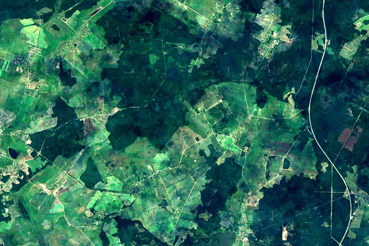
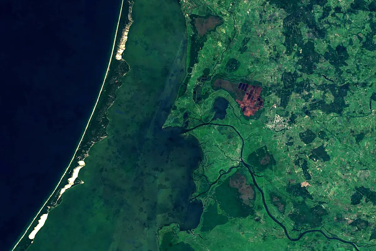
Sentinel-2 cloudless 2016 by EOX IT Services GmbH (contains modified Copernicus Sentinel data 2016), CC BY 4.0. The glowing line is the river as drawn by RiverATLAS.
Photos
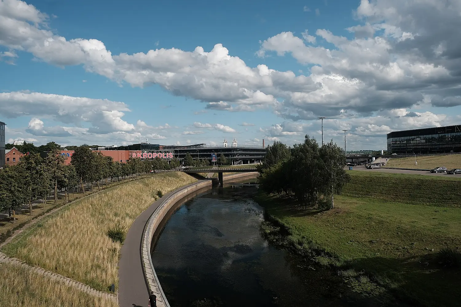
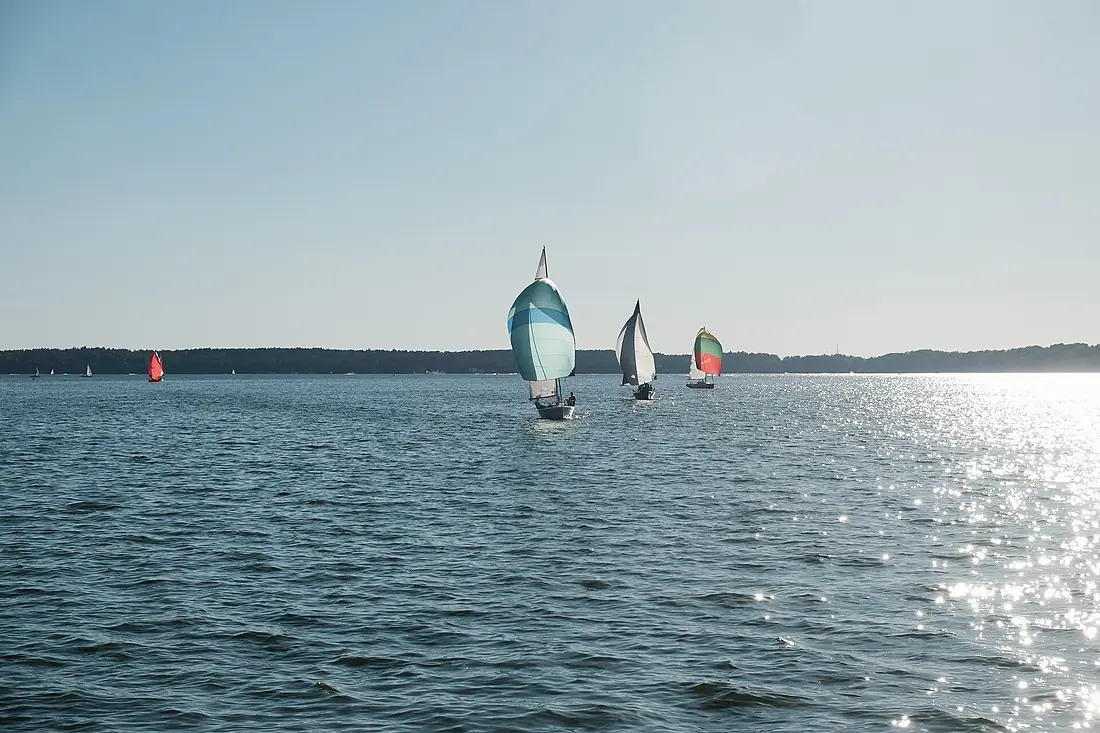
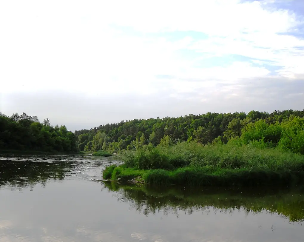
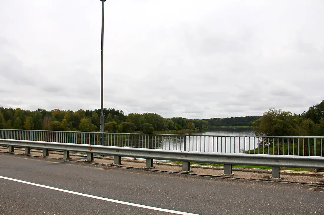
Neman in pictures
Tributaries
Where it flows, and what flows into it
Tributaries (81)
Lithuania510 km180 m³/sjoins at km 644ŠčaraBelarus325 km31 m³/sjoins at km 270NevėžisLithuania210 km33 m³/sjoins at km 654MerkysLithuania206 km33 m³/sjoins at km 441JūraLithuania172 km42 m³/sjoins at km 782DubysaLithuania146 km20 m³/sjoins at km 685Czarna HańczaLithuania145 km220 m³/sjoins at km 395Also: Šešupė, Kotra, Svislax, Western Berezina, Moŭčadź, Zel’vyanka River, Mituva, Lasosna, Usa, Gauja, Uša, Dzіtva, Roś, Baltoji Ančia, Strėva River, Liebiada, Sula, Usa, Verknė, Servech, Haradničanka, Tilse, Peršėkė, Loša
Nearby
Rivers nearby
Lithuania202 km15 m³/s0 km awayJūraLithuania172 km42 m³/s57 km awayVistula Poland1,047 km1,100 m³/s188 km awayNerisLithuania510 km180 m³/s171 km awayDubysaLithuania146 km20 m³/s137 km awayPasłękaPoland210 km16 m³/s141 km awayNevėžisLithuania210 km33 m³/s162 km awayDaugava
 Latvia1,020 km680 m³/s257 km away
Where these numbers come from
| Name, length, places | Wikidata (Q5622) · CC0 |
|---|---|
| Course, profile, basin | RiverATLAS v1.0 (HydroATLAS, Linke et al. 2019) · CC BY 4.0 — followed from the source to the mouth given by Wikidata |
| Flow | WaterGAP (RiverATLAS), 1971–2000 · CC BY 4.0 |
| Climate along the river | WorldClim (RiverATLAS), 1970–2000 · CC BY 4.0 |
| Towns, bridges, dams | Wikidata · CC0; GeoNames · CC BY 4.0 |
| Along the river | © OpenStreetMap contributors · ODbL |
| Images | EOX Sentinel-2 cloudless 2016 · CC BY 4.0; Wikimedia Commons |
| Our other atlases | Lakeyas, Islandyas — Wikidata · CC0; © OpenStreetMap contributors · ODbL; GeoNames · CC BY 4.0; HydroLAKES · CC BY 4.0; NOAA OISST |
Every source and licence is on the data sources page.
The family
Do you prefer beaches, lakes, mountains, waterfalls, islands, rivers or canyons?
Same idea, other landscapes: field atlases built on open data, month by month, in seven languages.
 beaches
 Find your beach: sea temperature, sun and swimming month by month.Visit lakes
 Every lake on Earth: water temperature, ice, depth and the shore.Coming soonVisit
  mountains
 Every summit in 3D: summit weather, the 0 °C line, huts and trails.Visit
  waterfalls
 Every waterfall: height, flow month by month and when it roars.Coming soonVisit islands
 Every island from the sea up: size, sea temperature, ferries and 3D.Coming soonVisit
  rivers
 Every river from source to sea: the journey, the flow and the basin in numbers.You are here
 canyons
 Every canyon cut to scale: depth to the floor, rim and floor temperatures, trails and viewpoints.Coming soonVisit