River
River Severn
354 km from source to mouth · United Kingdom.
 United KingdomFlows into Bristol Channel1st longest in United Kingdom
In numbers
Length
354km
Average flow
110m³/s
Basin
11,420km²
Drop
147m
from 148 m to 1 m
Country
1
The journey
From source to mouth
354 km of river and 68 stops on the way: 33 towns and cities on its banks, dams, bridges and the tributaries that feed it.
- 0 kmSourceat 148 m
- 0 kmLlanidloes2,798 people
- 0 kmShort Bridge,Short Bridge Street
- 13 kmLlandinam942 people
- 30 kmThe Long Bridge
- 31 kmNewtown11,357 people
- 37 kmCilgwrgan Bridge
- 40 kmAbermule900 people
- 41 kmBrynderwen Bridge
- 48 kmCaerhowel Bridge
- 57 kmRiver Camladtributary
- 60 kmWelshpool6,664 people
- 65 kmButtington Bridge
- 78 kmLlandrinio1,485 people
- 79 kmLlandrinio Bridge
- 91 kmRiver Vyrnwytributary
- 100 kmFord890 people
- 122 kmWelsh Bridge
- 122 kmPorthill Bridge
- 123 kmShrewsbury76,802 people
- 123 kmKingsland Bridge
- 124 kmEnglish Bridge
- 129 kmUffington289 people
- 137 kmAtcham Bridge
- 137 kmAtcham594 people
- 139 kmRiver Terntributary
- 144 kmCound476 people
- 149 kmCressage884 people
- 156 kmBuildwas321 people
- 159 kmAlbert Edward Bridge
- 161 kmIronbridge2,582 people
- 161 kmThe Iron Bridge
- 161 kmBroseley5,644 people
- 162 kmJackfield Free Bridge
- 166 kmCoalport Bridge
- 180 kmBridgnorth12,079 people
- 189 kmChelmarsh Reservoir0.4 km²
- 195 kmHighley3,733 people
- 202 kmUpper Arley765 people
- 202 kmArley footbridge
- 203 kmVictoria Bridge
- 209 kmBewdley Bridge
- 209 kmBewdley9,262 people
- 216 kmAreley Kings6,041 people
- 217 kmStourport-on-Severn20,654 people
- 220 kmRiver Stourtributary
- 229 kmHolt Fleet Bridge
- 242 kmWorcester Railway Bridge
- 242 kmWorcester Bridge
- 242 kmWorcester101,891 people
- 244 kmDiglis Bridge
- 247 kmRiver Temetributary
- 250 kmKempsey4,365 people
- 262 kmUpton upon Severn2,881 people
- 273 kmMythe Bridge
- 274 kmRiver Avontributary
- 274 kmTewkesbury10,704 people
- 279 kmDeerhurst936 people
- 297 kmRiver Chelttributary
- 300 kmGloucester145,563 people
- 301 kmRiver Leadontributary
- 310 kmMinsterworth468 people
- 321 kmFrampton on Severn1,465 people
- 332 kmNewnham1,298 people
- 350 kmSevern Railway Bridge
- 352 kmLydney10,038 people
- 353 kmLittle Avon Rivertributary
- 353 kmBerkeley2,174 people
- 353 kmOldbury-on-Severn780 people
- 354 kmBristol Channelat 1 m
Water level along the river (RiverATLAS; the height is exaggerated). Towns: GeoNames and Wikidata; bridges, dams and tributaries: Wikidata.
River in the United Kingdom
At the mouth it carries 107 m³/s on average: an Olympic pool every 23 seconds. It drops from 148 m to 1 m, 0.4 m per kilometre on average. Its basin covers 11,420 km², about the size of QA. 2.7 million people live in it. Highest water: from December to January. Its dams hold back little of its water (2.2% of a year's flow).
Where to start
- GloucesterLargest city on its banks · 145,563 people
- Bristol Airport (BRS)Nearest airport with scheduled flights, 63 km from the cityCar hire at BRS airport (Bristol)Discover Cars · Affiliate link↗
- On the water41 ferry piers, marinas, boat rentals and boat ramps along the river (OpenStreetMap)
- Kayak and canoe2 put-ins and rapids mapped (OpenStreetMap)
- From June to SeptemberThe best months to visit
River Severn, month by month
Highest water: from December to January
Best months to visit: from June to September.
From about 81 m³/s in the lowest month to 300 m³/s in the highest. An estimate: the monthly flow is modelled from the lowest and highest months of WaterGAP (RiverATLAS, 1971–2000) and the rain and snow along the river (WorldClim). Dams change the real rhythm. The chip is the average air temperature; below it, the month's rain.
Plan the trip
Plan the trip: boat trips, a bed by the river, a car
Some links above are affiliate links: if you book through them we may earn a commission, at no extra cost to you. It never changes what the data on this page says.
The basin
River Severn: the basin in numbers
10,975 km² of land send their water to this river. This is what lives on it.
- 2.7millionpeople live in the basin
- 243/km²people per km²
- 140maverage altitude of the basin
- 792mmof rain a year (basin average)
- 8.9°Caverage air temperature
- 17%protected areas
- 0.1%covered by lakes
- 0.1km³held in reservoirs
What covers the basin
- 1% Forest
- 40% Cropland
- 34% Pasture
- 9% Towns and cities
RiverATLAS (HydroATLAS v1.0, CC BY 4.0): land cover, people, protected areas, glaciers and dams over the whole basin upstream of the mouth.
Along the river
River Severn: what you find on the way
- 35WeirsLincomb Weir, Holt Weir, Bevere Weir and 32 more
- 138LocksDolfor Lock, Freestone Lock, Montgomery Canal and 135 more
- 3WaterfallsLoamhole Waterfall
- 1RapidsJackfield Rapids
- 1Canoe put-ins
- 25Boat rampsShrewsbury Canoe Hire, Frankwell Quay Slipway, Lydney Slip and 22 more
- 3Ferry piersSabrina Boat
- 11MarinasPengwern Boat Club, Shrewsbury School Boathouses, York Street Boatyard (Limekiln) and 8 more
From OpenStreetMap, within 1.8 km of the river. Not mapped is not the same as not there.
Cross-checked with our atlases
River Severn in our other atlases
What our sister atlases know about the waterfalls on this river, the lakes it flows through, the beaches at its mouth, the mountains where it rises and the islands off its mouth.
 1lake on its wayLakeyas
 192mountains at the sourcePeakyas
 1island off the mouthIslandyas
Lakes and reservoirs (1)
Lakes it flows through, by Lakeyas
- Chelmarsh Reservoirkm 1400.4km²
Lakeyas is coming soonOpen Lakeyas ↗
Mountains at the source (192)
Within 15 km of the source, by Peakyas
- Pumlumon Fawr4.3 km away · prominence 526 m752m
- Pen Pumlumon Arwystli2.3 km away · prominence 64 m741m
- Pen Pumlumon Llygad-bychan3.5 km away · prominence 36 m727m
- Pen y Garn13 km away · prominence 194 m611m
- Y Garn6.6 km away · prominence 56 m684m
- Pumlumon Fach4.1 km away664m
- Pen Pumlumon Llygad-bychan [Plynlimon East Top]3.1 km away724m
- Pumlumon Cwmbiga1.3 km away620m
184 more on PeakyasOpen Peakyas ↗
Islands off the mouth (1)
Within 30 km of the mouth, by Islandyas
- Denny Island29 km away0.0km²
Islandyas is coming soonOpen Islandyas ↗
From space
The source and the mouth, seen from orbit
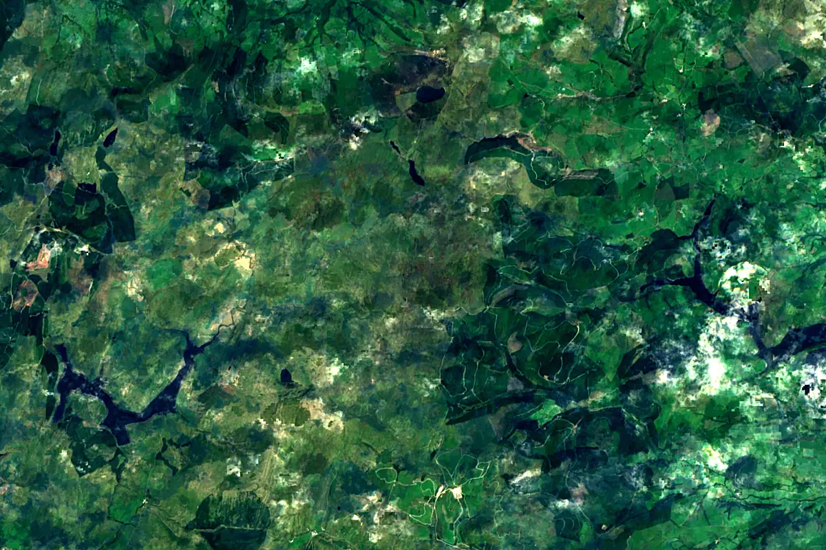
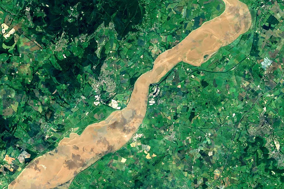
Sentinel-2 cloudless 2016 by EOX IT Services GmbH (contains modified Copernicus Sentinel data 2016), CC BY 4.0. The glowing line is the river as drawn by RiverATLAS.
Photos
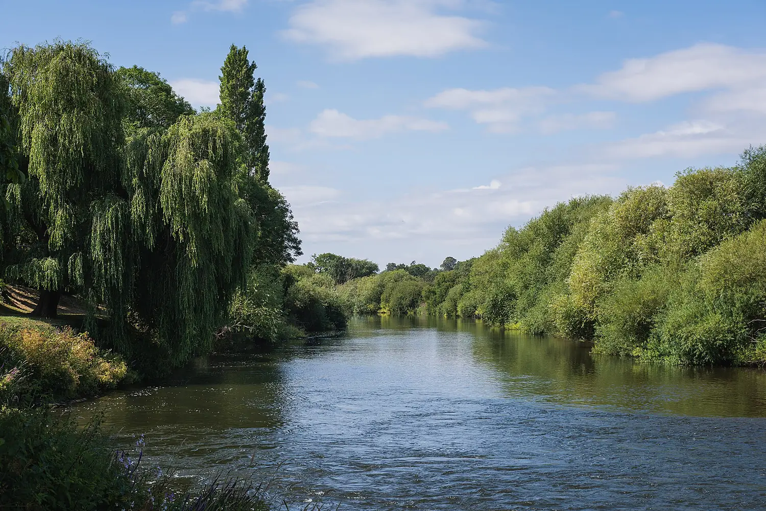
River Severn in pictures
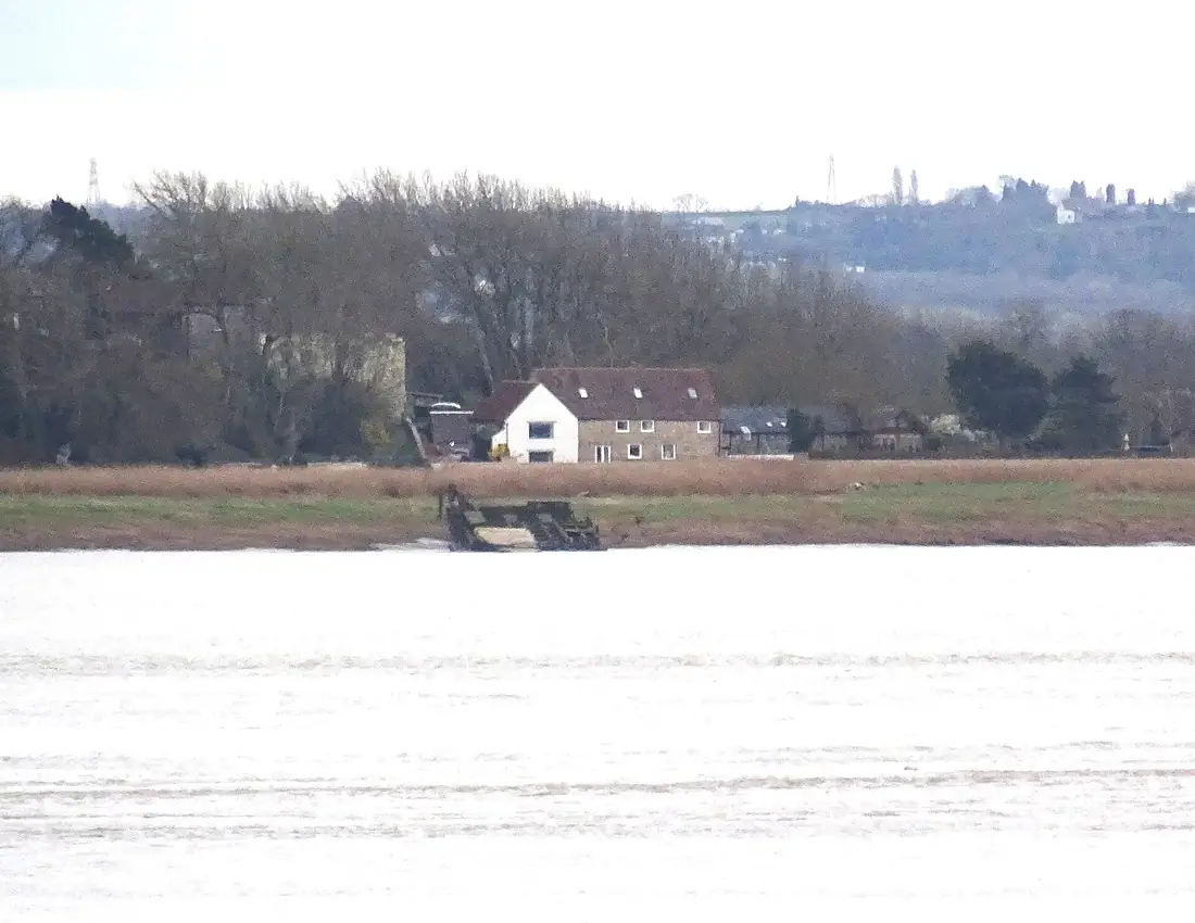
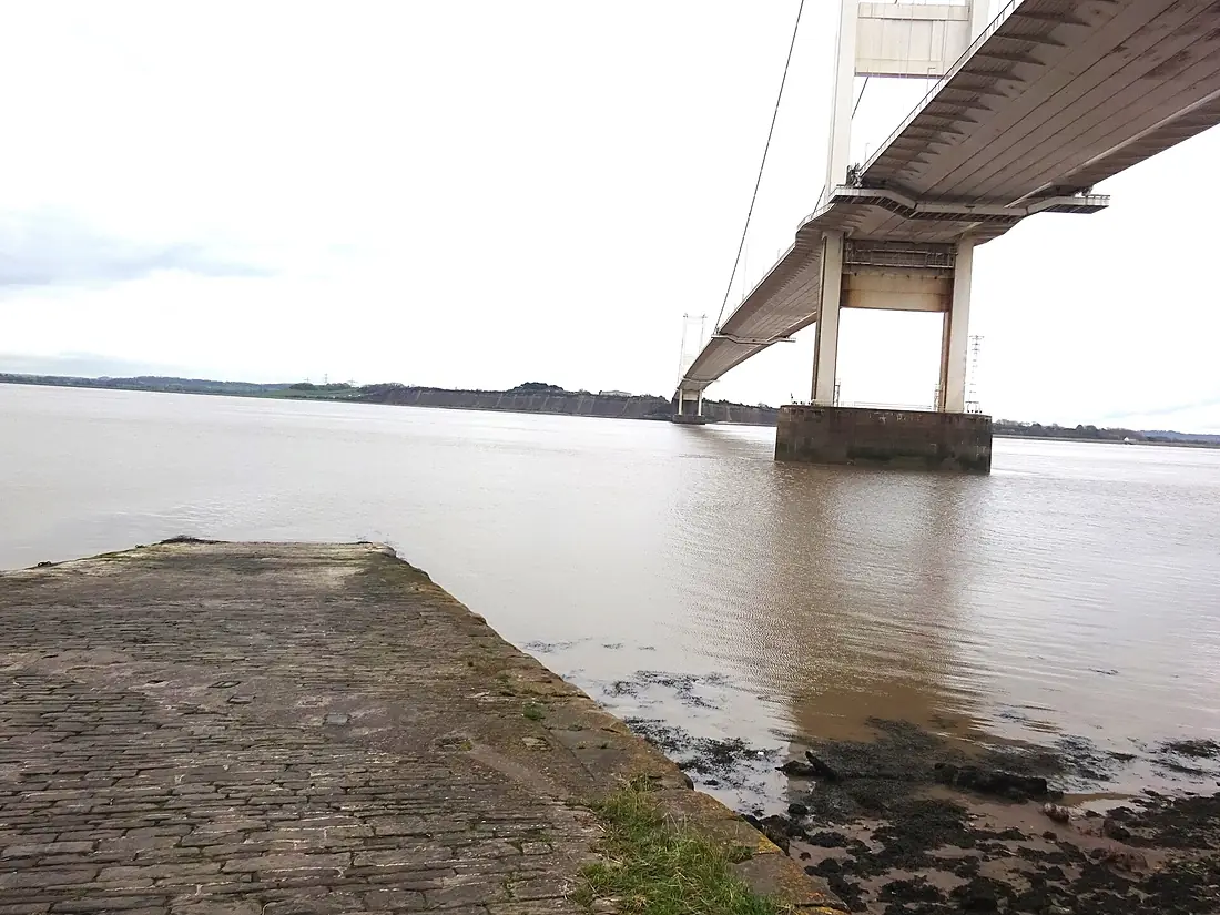
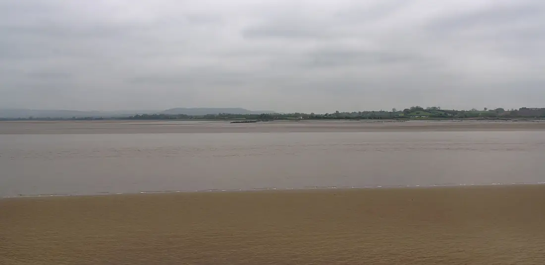
Tributaries
Where it flows, and what flows into it
Tributaries (19)
Also: River Taff, River Teme, River Vyrnwy, River Tern, Alma River, River Stour, Afon Clywedog, River Camlad, River Leadon, River Carno, Little Avon River, River Chelt, River Frome, River Lyd, River Perry, River Salwarpe, River Worfe, Afon Dulas, Llanidloes
Nearby
Rivers nearby
United Kingdom215 km100 m³/s17 km awayRiver AvonUnited Kingdom154 km31 m³/s38 km awayRiver ThamesUnited Kingdom334 km66 m³/s196 km awayRiver AvonUnited Kingdom96 km56 m³/s123 km awayRiver ExeUnited Kingdom88 km16 m³/s134 km awayRiver DerwentUnited Kingdom80 km29 m³/s151 km awayRiver DeeUnited Kingdom110 km30 m³/s174 km awayRiver TamarUnited Kingdom98 km50 m³/s184 km awayWhere these numbers come from
| Name, length, places | Wikidata (Q19682) · CC0 |
|---|---|
| Course, profile, basin | RiverATLAS v1.0 (HydroATLAS, Linke et al. 2019) · CC BY 4.0 — followed from the source to the mouth given by Wikidata |
| Flow | WaterGAP (RiverATLAS), 1971–2000 · CC BY 4.0 |
| Climate along the river | WorldClim (RiverATLAS), 1970–2000 · CC BY 4.0 |
| Towns, bridges, dams | Wikidata · CC0; GeoNames · CC BY 4.0 |
| Along the river | © OpenStreetMap contributors · ODbL |
| Images | EOX Sentinel-2 cloudless 2016 · CC BY 4.0; Wikimedia Commons |
| Our other atlases | Lakeyas, Peakyas, Islandyas — Wikidata · CC0; © OpenStreetMap contributors · ODbL; GeoNames · CC BY 4.0; HydroLAKES · CC BY 4.0; NOAA OISST |
Every source and licence is on the data sources page.
The family
Do you prefer beaches, lakes, mountains, waterfalls, islands, rivers or canyons?
Same idea, other landscapes: field atlases built on open data, month by month, in seven languages.
 beaches
 Find your beach: sea temperature, sun and swimming month by month.Visit lakes
 Every lake on Earth: water temperature, ice, depth and the shore.Coming soonVisit mountains
 Every summit in 3D: summit weather, the 0 °C line, huts and trails.Visit
  waterfalls
 Every waterfall: height, flow month by month and when it roars.Coming soonVisit islands
 Every island from the sea up: size, sea temperature, ferries and 3D.Coming soonVisit
  rivers
 Every river from source to sea: the journey, the flow and the basin in numbers.You are here
 canyons
 Every canyon cut to scale: depth to the floor, rim and floor temperatures, trails and viewpoints.Coming soonVisit