River
River Tamar
98 km from source to mouth · United Kingdom.
 United KingdomFlows into Hamoaze
In numbers
Length
98km
Average flow
50m³/s
Basin
1,000km²
Drop
78m
from 78 m to 0 m
Country
1
The journey
From source to mouth
98 km of river and 20 stops on the way: 9 towns and cities on its banks, dams, bridges and the tributaries that feed it.
- 0 kmSourceat 78 m
- 6 kmBoyton Bridge
- 9 kmSt Giles on the Heath643 people
- 11 kmDruxton Bridge
- 11 kmWerrington453 people
- 12 kmSt Stephens by Launceston Rural360 people
- 12 kmHigher New Bridge
- 14 kmPolson Bridge
- 16 kmLifton1,180 people
- 18 kmRiver Kenseytributary
- 20 kmBradstone124 people
- 20 kmGreystone Bridge
- 22 kmLezant756 people
- 30 kmHorse Bridge
- 37 kmGunnislake4,044 people
- 42 kmBere Alston2,164 people
- 45 kmRiver Tavytributary
- 48 kmRoyal Albert Bridge
- 48 kmD-Day landing craft maintenance site, 170m north of Saltash Pier
- 48 kmPlymouth267,918 people
- 48 kmTamar Bridge
- 48 kmHamoazeat 0 m
Water level along the river (RiverATLAS; the height is exaggerated). Towns: GeoNames and Wikidata; bridges, dams and tributaries: Wikidata.
River in Cornwall and Devon, England
At the mouth it carries 50 m³/s on average: an Olympic pool every 50 seconds. It drops from 78 m to 0 m, 0.8 m per kilometre on average. Its basin covers 1,000 km², about the size of HK.
Where to start
- PlymouthLargest city on its banks · 267,918 people
- Cornwall Airport Newquay (NQY)Nearest airport with scheduled flights, 61 km from the cityCar hire at NQY airport (Newquay)Discover Cars · Affiliate link↗
- On the water4 ferry piers, marinas, boat rentals and boat ramps along the river (OpenStreetMap)
Plan the trip
Plan the trip: boat trips, a bed by the river, a car
Some links above are affiliate links: if you book through them we may earn a commission, at no extra cost to you. It never changes what the data on this page says.
Along the river
River Tamar: what you find on the way
- 3WeirsGunnislake Weir
- 4LocksWeir Head and 3 more
- 4Boat rampsSlipway and 3 more
From OpenStreetMap, within 1.2 km of the river. Not mapped is not the same as not there.
Cross-checked with our atlases
River Tamar in our other atlases
What our sister atlases know about the waterfalls on this river, the lakes it flows through, the beaches at its mouth, the mountains where it rises and the islands off its mouth.
 24beaches at the mouth and on the banksCoastya
 1mountain at the sourcePeakyas
 3islands off the mouthIslandyas
Beaches (24)
At the mouth (25 km) and on the banks, by Coastya
- Talland Bay24 km away · cove16.8°C
- Wadham Rocks Beach24 km away16.8°C
- Tregantle Beach13 km away16.8°C
- Ivy Cove24 km away · cove16.9°C
- Long Cove24 km away · cove16.9°C
- Sandy Cove24 km away · cove16.9°C
- Row Cove24 km away · cove16.9°C
- Church Cove24 km away · cove16.9°C
16 more on CoastyaOpen Coastya ↗
Mountains at the source (1)
Within 15 km of the source, by Peakyas
- Saint Catherine's Tor10 km away
Islands off the mouth (3)
Within 30 km of the mouth, by Islandyas
- Drake's Island14 km away0.0km²
- Looe Island22 km away
- Great Mew Stone20 km away
Islandyas is coming soonOpen Islandyas ↗
From space
The source and the mouth, seen from orbit
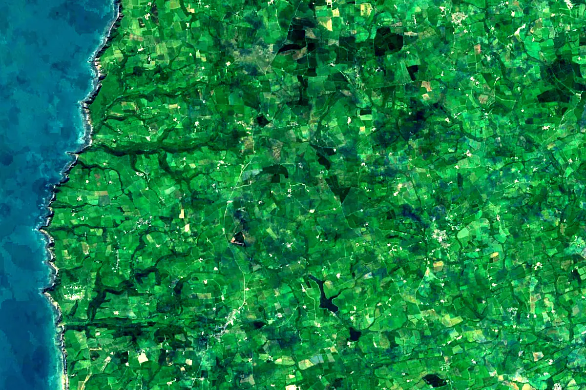
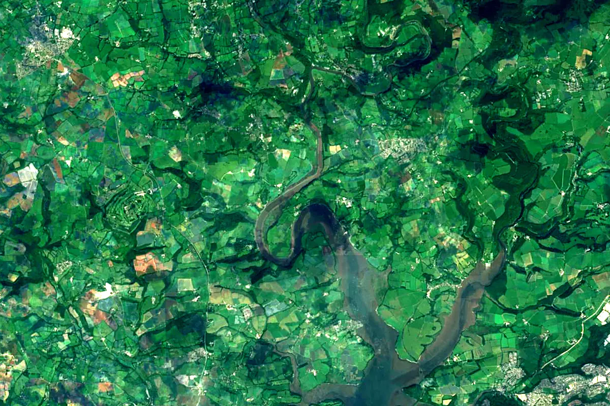
Sentinel-2 cloudless 2016 by EOX IT Services GmbH (contains modified Copernicus Sentinel data 2016), CC BY 4.0. The glowing line is the river as drawn by RiverATLAS.
Photos
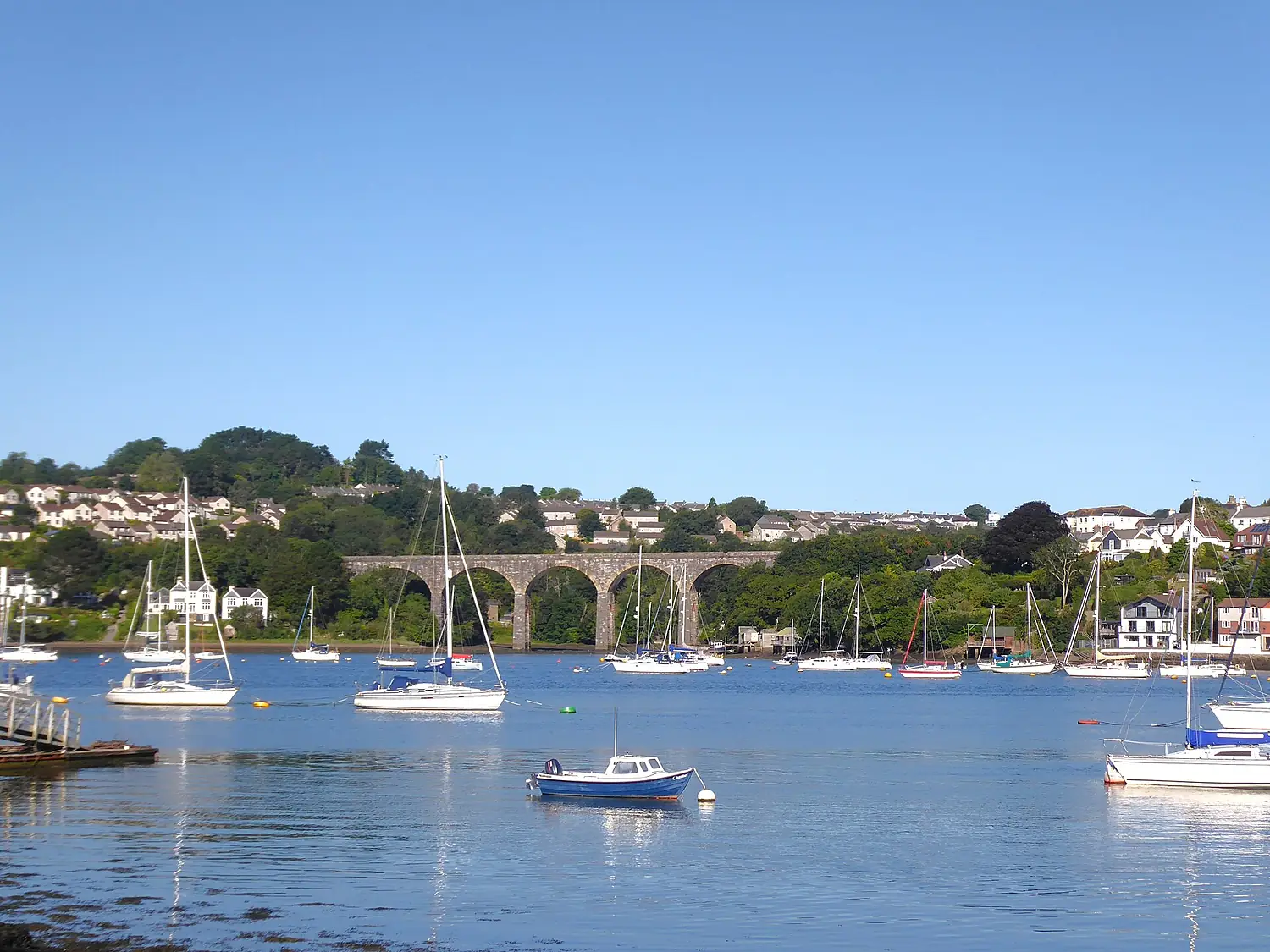
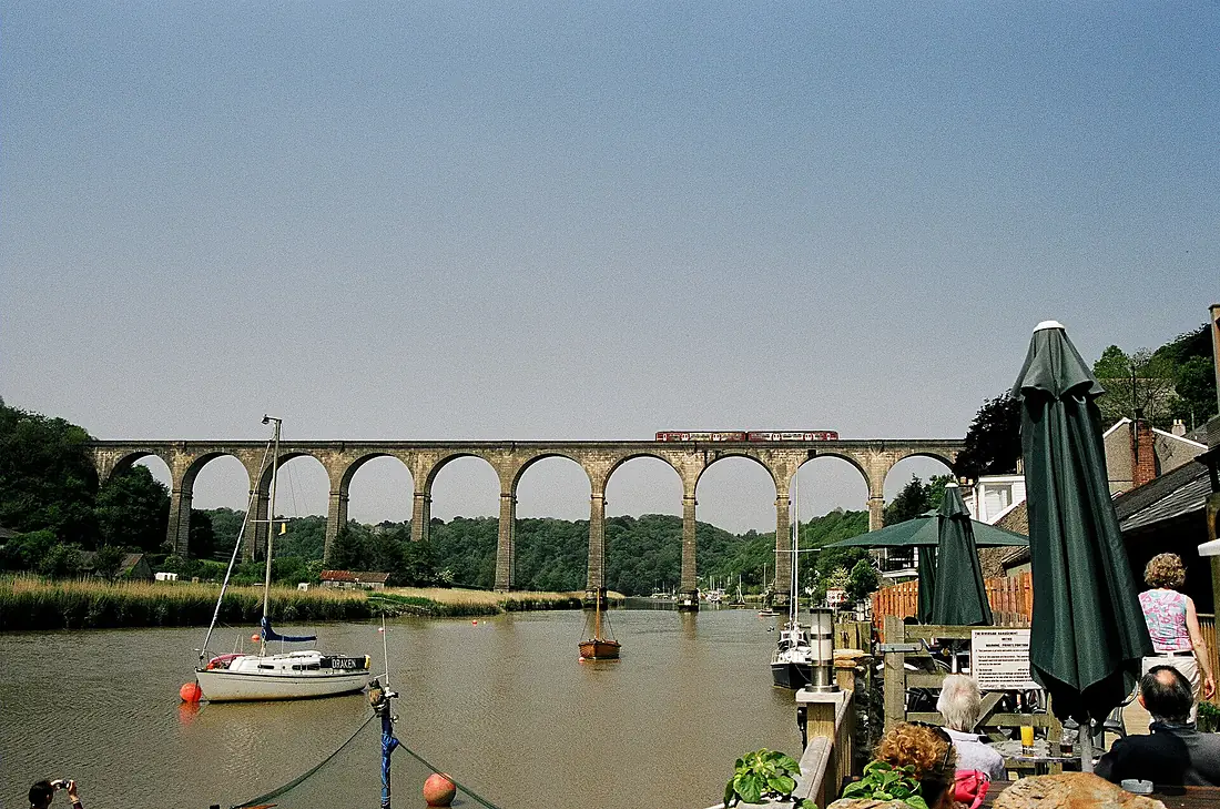
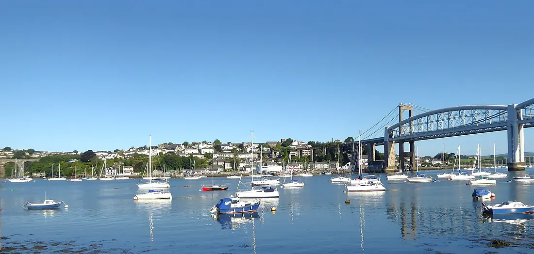
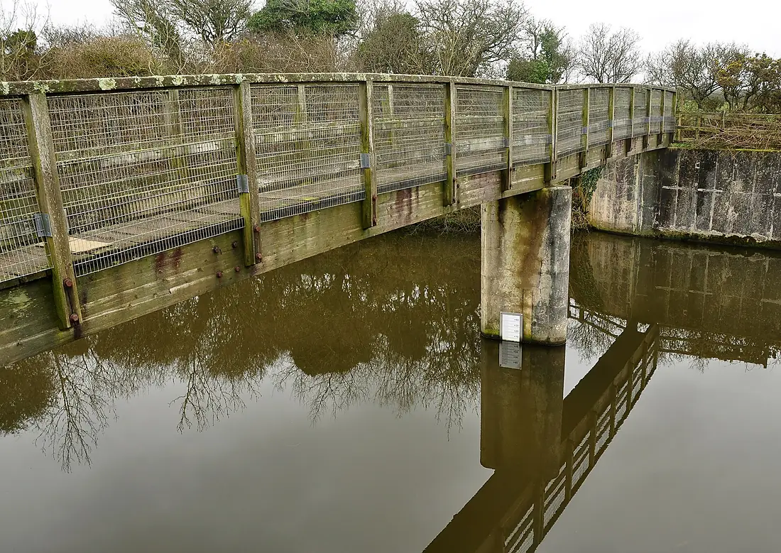
River Tamar in pictures
Tributaries
Where it flows, and what flows into it
Tributaries (5)
Also: River Inny, River Ottery, River Tavy, River Lyd, River Kensey
Nearby
Rivers nearby
United Kingdom88 km16 m³/s58 km awayRiver SevernUnited Kingdom354 km110 m³/s184 km awayRiver WyeUnited Kingdom215 km100 m³/s168 km awayRiver AvonUnited Kingdom96 km56 m³/s177 km awayRiver AvonUnited Kingdom154 km31 m³/s222 km awayRiver Slaney Ireland117 km40 m³/s262 km awayRiver ThamesUnited Kingdom334 km66 m³/s337 km awayVire
 France128 km13 m³/s256 km away
Where these numbers come from
| Name, length, places | Wikidata (Q578127) · CC0 |
|---|---|
| Course, profile, basin | RiverATLAS v1.0 (HydroATLAS, Linke et al. 2019) · CC BY 4.0 — followed from the source to the mouth given by Wikidata |
| Flow | WaterGAP (RiverATLAS), 1971–2000 · CC BY 4.0 |
| Climate along the river | WorldClim (RiverATLAS), 1970–2000 · CC BY 4.0 |
| Towns, bridges, dams | Wikidata · CC0; GeoNames · CC BY 4.0 |
| Along the river | © OpenStreetMap contributors · ODbL |
| Images | EOX Sentinel-2 cloudless 2016 · CC BY 4.0; Wikimedia Commons |
| Our other atlases | Coastya, Peakyas, Islandyas — Wikidata · CC0; © OpenStreetMap contributors · ODbL; GeoNames · CC BY 4.0; HydroLAKES · CC BY 4.0; NOAA OISST |
Every source and licence is on the data sources page.
The family
Do you prefer beaches, lakes, mountains, waterfalls, islands, rivers or canyons?
Same idea, other landscapes: field atlases built on open data, month by month, in seven languages.
beaches Find your beach: sea temperature, sun and swimming month by month.Visit
  lakes
lakes Every lake on Earth: water temperature, ice, depth and the shore.Coming soonVisit mountains
 Every summit in 3D: summit weather, the 0 °C line, huts and trails.Visit
  waterfalls
 Every waterfall: height, flow month by month and when it roars.Coming soonVisit islands
 Every island from the sea up: size, sea temperature, ferries and 3D.Coming soonVisit
  rivers
 Every river from source to sea: the journey, the flow and the basin in numbers.You are here
 canyons
 Every canyon cut to scale: depth to the floor, rim and floor temperatures, trails and viewpoints.Coming soonVisit