River
River Tees
137 km from source to mouth · United Kingdom.
 United KingdomFlows into North Sea
In numbers
Length
137km
Average flow
34m³/s
Basin
1,834km²
Drop
364m
from 364 m to 0 m
Country
1
The journey
From source to mouth
137 km of river and 39 stops on the way: 8 towns and cities on its banks, dams, bridges and the tributaries that feed it.
- 0 kmSourceat 364 m
- 0 kmCauldron Snout
- 0 kmCow Green Reservoir2.9 km²
- 8 kmCronkley Bridge
- 11 kmHigh Force
- 15 kmWynch Bridge
- 15 kmLow Force
- 22 kmMiddleton Bridge
- 22 kmGrassholme Reservoir0.6 km²
- 24 kmRiver Lunetributary
- 29 kmEggleston Bridge
- 33 kmCotherstone Bridge
- 40 kmBarnard Castle Bridge
- 41 kmBarnard Castle7,040 people
- 43 kmAbbey Bridge
- 57 kmRiver Gretatributary
- 60 kmGainford1,133 people
- 64 kmPiercebridge Pipe Bridge
- 65 kmPiercebridge Bridge
- 74 kmBlackwell Bridge
- 78 kmCroft Bridge
- 84 kmRiver Skernetributary
- 110 kmYarm19,184 people
- 111 kmYarm Viaduct
- 114 kmEaglescliffe7,900 people
- 116 kmPreston Pipe Bridge
- 116 kmJubilee Bridge
- 117 kmThornaby-on-Tees22,356 people
- 119 kmSurtees Rail Bridge
- 120 kmVictoria Bridge
- 121 kmStockton-on-Tees79,957 people
- 121 kmPrincess of Wales Bridge
- 121 kmInfinity Bridge
- 122 kmTees Barrage
- 122 kmRiver Leventributary
- 124 kmTees Viaduct
- 124 kmTees Newport Bridge
- 126 kmBillingham35,708 people
- 130 kmMiddlesbrough Transporter Bridge
- 131 kmMiddlesbrough142,707 people
- 137 kmNorth Seaat 0 m
Water level along the river (RiverATLAS; the height is exaggerated). Towns: GeoNames and Wikidata; bridges, dams and tributaries: Wikidata.
River in the North East of England
At the mouth it carries 34 m³/s on average: an Olympic pool every 75 seconds. It drops from 364 m to 0 m, 2.7 m per kilometre on average. Its basin covers 1,834 km², about the size of GP. 543,000 people live in it. Highest water: from November to January. Its dams hold back little of its water (7.2% of a year's flow).
Where to start
- MiddlesbroughLargest city on its banks · 142,707 people
- Teesside International Airport (MME)Nearest airport with scheduled flights, 15 km from the cityCar hire at NCL airport (Newcastle upon Tyne, Tyne and Wear)Discover Cars · Affiliate link↗
- On the water10 ferry piers, marinas, boat rentals and boat ramps along the river (OpenStreetMap)
- Kayak and canoe3 put-ins and rapids mapped (OpenStreetMap)
- From June to SeptemberThe best months to visit
River Tees, month by month
Highest water: from November to January
Best months to visit: from June to September.
From about 15 m³/s in the lowest month to 50 m³/s in the highest. An estimate: the monthly flow is modelled from the lowest and highest months of WaterGAP (RiverATLAS, 1971–2000) and the rain and snow along the river (WorldClim). Dams change the real rhythm. The chip is the average air temperature; below it, the month's rain.
Plan the trip
Plan the trip: boat trips, a bed by the river, a car
Some links above are affiliate links: if you book through them we may earn a commission, at no extra cost to you. It never changes what the data on this page says.
The basin
River Tees: the basin in numbers
1,819 km² of land send their water to this river. This is what lives on it.
- 543,000people live in the basin
- 299/km²people per km²
- 212maverage altitude of the basin
- 839mmof rain a year (basin average)
- 8.0°Caverage air temperature
- 34%protected areas
- 0.4%covered by lakes
- 0.1km³held in reservoirs
What covers the basin
- 1% Forest
- 33% Cropland
- 34% Pasture
- 12% Towns and cities
RiverATLAS (HydroATLAS v1.0, CC BY 4.0): land cover, people, protected areas, glaciers and dams over the whole basin upstream of the mouth.
Along the river
River Tees: what you find on the way
- 8WeirsBarnard Castle, Low Moor Weir, Tees Barrage and 5 more
- 4LocksRiver Tees and 3 more
- 26WaterfallsCauldron Snout, Maizebeck Force, White Force and 23 more
- 1RapidsHell Cauldron
- 2Canoe put-ins
- 6Boat ramps
- 3Ferry piersMiddlesbrough, Port Clarence, Teesport
- 1Marinas
From OpenStreetMap, within 1.4 km of the river. Not mapped is not the same as not there.
Cross-checked with our atlases
River Tees in our other atlases
What our sister atlases know about the waterfalls on this river, the lakes it flows through, the beaches at its mouth, the mountains where it rises and the islands off its mouth.
 3waterfalls on the riverCascadyas
 2lakes on its wayLakeyas
 2beaches at the mouth and on the banksCoastya
 11mountains at the sourcePeakyas
Waterfalls (3)
On the river, by Cascadyas
- Cauldron Snoutkm 0
- High Forcekm 10
- Low Forcekm 12
Cascadyas is coming soonOpen Cascadyas ↗
Lakes and reservoirs (2)
Lakes it flows through, by Lakeyas
- Cow Green Reservoirkm 02.9km²
- Grassholme Reservoirkm 190.6km²
Lakeyas is coming soonOpen Lakeyas ↗
Beaches (2)
At the mouth (25 km) and on the banks, by Coastya
- Seaton Carew Beach6.4 km away14.8°C
- Redcar Beach5.8 km away14.8°C
Mountains at the source (11)
Within 15 km of the source, by Peakyas
- Cross Fell1.3 km away · prominence 651 m893m
- Great Dun Fell2.2 km away · prominence 76 m848m
- Mickle Fell14 km away788m
- Burnhope Seat9.1 km away · prominence 190 m747m
- Knock Fell4.3 km away · prominence 48 m794m
- Little Dun Fell1.1 km away842m
- Black Fell12 km away · prominence 89 m664m
- Murton Pike11 km away594m
3 more on PeakyasOpen Peakyas ↗
From space
The source and the mouth, seen from orbit
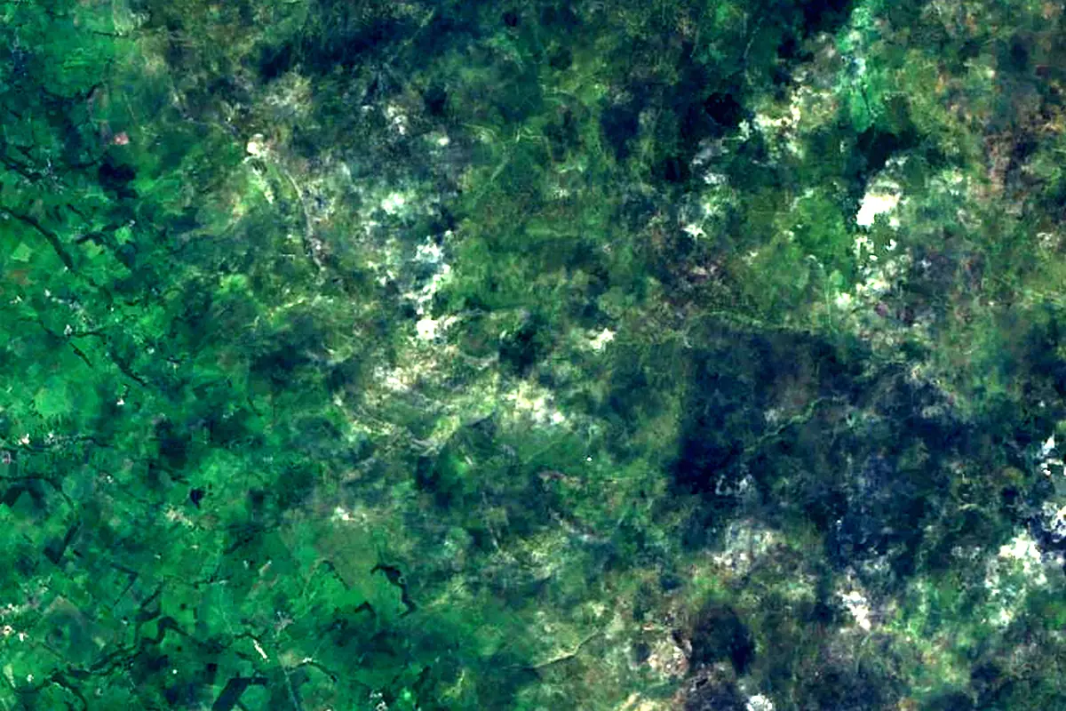
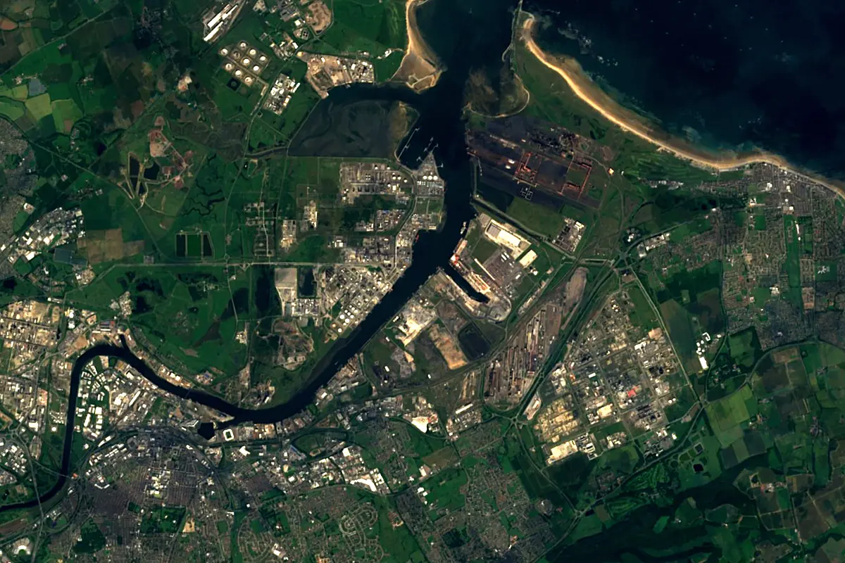
Sentinel-2 cloudless 2016 by EOX IT Services GmbH (contains modified Copernicus Sentinel data 2016), CC BY 4.0. The glowing line is the river as drawn by RiverATLAS.
Photos
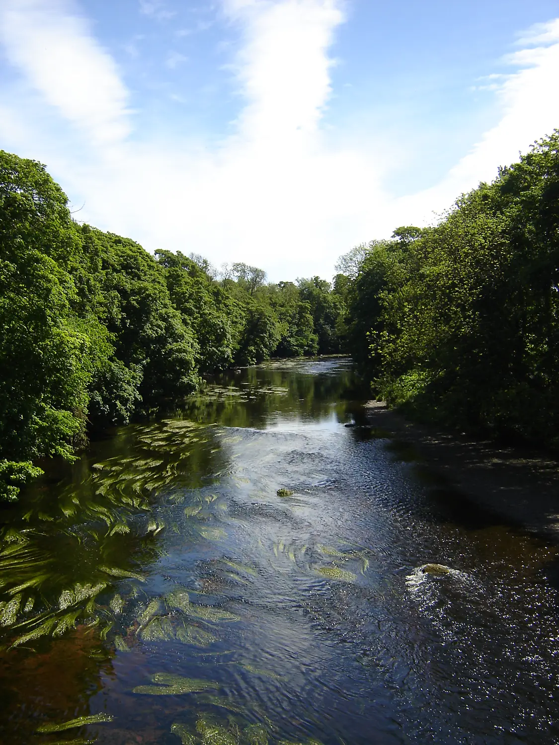
River Tees in pictures
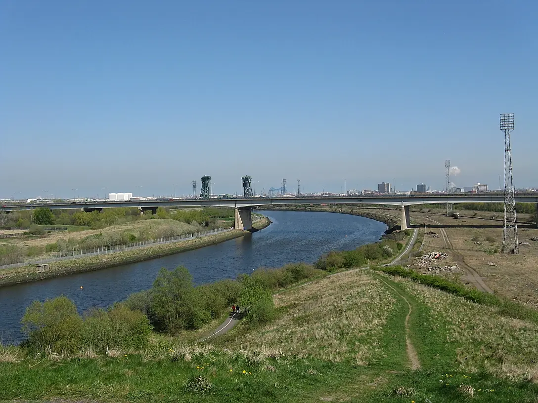
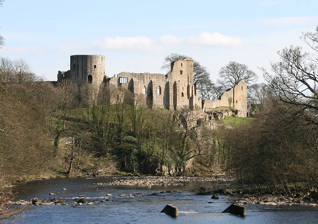
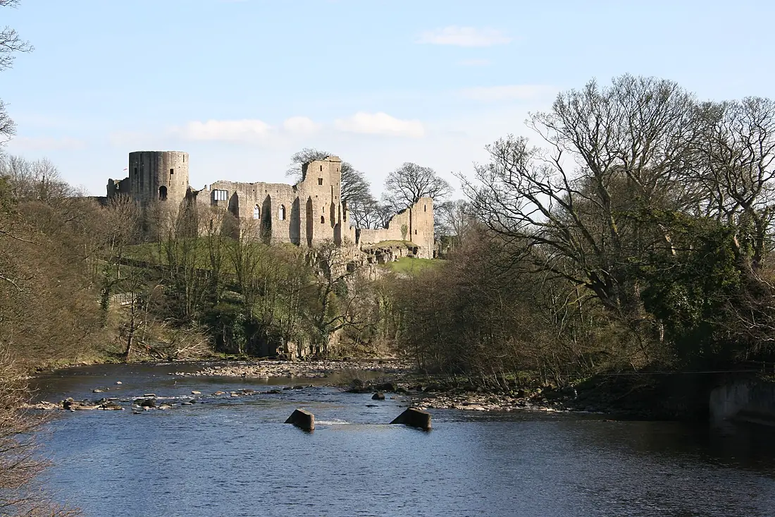
Tributaries
Where it flows, and what flows into it
Tributaries (5)
Also: River Balder, River Greta, River Lune, River Skerne, River Leven
Nearby
Rivers nearby
United Kingdom100 km63 m³/s49 km awayRiver WearUnited Kingdom96 km21 m³/s38 km awayRiver TrentUnited Kingdom298 km95 m³/s108 km awayRiver AireUnited Kingdom114 km36 m³/s99 km awayRiver OuseUnited Kingdom90 km50 m³/s104 km awayRiver TweedUnited Kingdom156 km89 m³/s140 km awayRiver DeeUnited Kingdom110 km30 m³/s197 km awayRiver DerwentUnited Kingdom80 km29 m³/s193 km awayWhere these numbers come from
| Name, length, places | Wikidata (Q515022) · CC0 |
|---|---|
| Course, profile, basin | RiverATLAS v1.0 (HydroATLAS, Linke et al. 2019) · CC BY 4.0 — followed from the source to the mouth given by Wikidata |
| Flow | WaterGAP (RiverATLAS), 1971–2000 · CC BY 4.0 |
| Climate along the river | WorldClim (RiverATLAS), 1970–2000 · CC BY 4.0 |
| Towns, bridges, dams | Wikidata · CC0; GeoNames · CC BY 4.0 |
| Along the river | © OpenStreetMap contributors · ODbL |
| Images | EOX Sentinel-2 cloudless 2016 · CC BY 4.0; Wikimedia Commons |
| Our other atlases | Cascadyas, Lakeyas, Coastya, Peakyas — Wikidata · CC0; © OpenStreetMap contributors · ODbL; GeoNames · CC BY 4.0; HydroLAKES · CC BY 4.0; NOAA OISST |
Every source and licence is on the data sources page.
The family
Do you prefer beaches, lakes, mountains, waterfalls, islands, rivers or canyons?
Same idea, other landscapes: field atlases built on open data, month by month, in seven languages.
beaches Find your beach: sea temperature, sun and swimming month by month.Visit lakes
 Every lake on Earth: water temperature, ice, depth and the shore.Coming soonVisit mountains
 Every summit in 3D: summit weather, the 0 °C line, huts and trails.Visit waterfalls
 Every waterfall: height, flow month by month and when it roars.Coming soonVisit
  islands
 Every island from the sea up: size, sea temperature, ferries and 3D.Coming soonVisit
  rivers
 Every river from source to sea: the journey, the flow and the basin in numbers.You are here
 canyons
 Every canyon cut to scale: depth to the floor, rim and floor temperatures, trails and viewpoints.Coming soonVisit