River
Sacramento River
644 km from source to mouth · United States.
 United StatesFlows into Suisun Bay
In numbers
Length
644km
Average flow
660m³/s
Basin
71,500km²
Drop
995m
from 989 m to -6 m
Country
1
The journey
From source to mouth
644 km of river and 36 stops on the way: 8 towns and cities on its banks, dams, bridges and the tributaries that feed it.
- 0 kmSourceat 989 m
- 11 kmFall River Lake0.6 km²
- 39 kmLake Britton2.9 km²
- 95 kmPit 7 Reservoir0.8 km²
- 98 kmPotem Falls
- 101 kmPit Rivertributary
- 130 kmMcCloud Rivertributary
- 143 kmShasta Lake102 km²
- 158 kmKeswick Reservoir0.7 km²
- 163 kmDiestelhorst Bridge
- 163 kmRedding Trestle
- 164 kmRedding91,582 people
- 165 kmSundial Bridge at Turtle Bay
- 185 kmAnderson10,217 people
- 205 kmCottonwood Creektributary
- 247 kmRed Bluff14,131 people
- 271 kmTehama Bridge
- 271 kmTehama Railroad Bridge
- 312 kmGianella Bridge
- 328 kmStony Creektributary
- 403 kmButte Creektributary
- 479 kmCache Creektributary
- 488 kmFeather Rivertributary
- 519 kmAmerican Rivertributary
- 520 kmI Street Bridge
- 520 kmSacramento524,943 people
- 521 kmTower Bridge
- 522 kmWest Sacramento52,721 people
- 550 kmNorth Stone Lake0.4 km²
- 561 kmPaintersville Bridge
- 572 kmWalnut Grove Bridge
- 585 kmIsleton Bridge
- 595 kmRio Vista8,348 people
- 595 kmRio Vista Bridge
- 620 kmPittsburg69,424 people
- 624 kmBay Point21,534 people
- 626 kmSan Joaquin Rivertributary
- 644 kmSuisun Bayat -6 m
Water level along the river (RiverATLAS; the height is exaggerated). Towns: GeoNames and Wikidata; bridges, dams and tributaries: Wikidata.
River in Northern and Central California, United States
At the mouth it carries 665 m³/s on average: an Olympic pool every 3.8 seconds. It drops from 989 m to -6 m, 1.5 m per kilometre on average. Its basin covers 71,500 km², about the size of SL. 6.1 million people live in it. Highest water: from February to March; lowest: from July to October. It is heavily dammed: reservoirs can hold 94% of a year's flow.
Where to start
- SacramentoLargest city on its banks · 524,943 people
- Sacramento International Airport (SMF)Nearest airport with scheduled flights, 15 km from the cityCar hire at SMF airport (Sacramento)Discover Cars · Affiliate link↗
- On the water78 ferry piers, marinas, boat rentals and boat ramps along the river (OpenStreetMap)
- Kayak and canoe1 put-ins and rapids mapped (OpenStreetMap)
- From May to SeptemberThe best months to visit
Sacramento River, month by month
Highest water: from February to March
Lowest water: from July to October. Best months to visit: from May to September.
From about 100 m³/s in the lowest month to 3,000 m³/s in the highest. An estimate: the monthly flow is modelled from the lowest and highest months of WaterGAP (RiverATLAS, 1971–2000) and the rain and snow along the river (WorldClim). Dams change the real rhythm. The chip is the average air temperature; below it, the month's rain.
Plan the trip
Plan the trip: boat trips, a bed by the river, a car
Some links above are affiliate links: if you book through them we may earn a commission, at no extra cost to you. It never changes what the data on this page says.
The basin
Sacramento River: the basin in numbers
124,352 km² of land send their water to this river. This is what lives on it.
- 6.1millionpeople live in the basin
- 49/km²people per km²
- 896maverage altitude of the basin
- 718mmof rain a year (basin average)
- 12.1°Caverage air temperature
- 11%protected areas
- 1.6%covered by lakes
- 35km³held in reservoirs
What covers the basin
- 64% Forest
- 18% Cropland
- 18% Pasture
- 3% Towns and cities
RiverATLAS (HydroATLAS v1.0, CC BY 4.0): land cover, people, protected areas, glaciers and dams over the whole basin upstream of the mouth.
Along the river
Sacramento River: what you find on the way
- 29WeirsAnderson-Cottonwood Diversion 51-000 Dam, Moulton Weir, Colusa Weir and 26 more
- 3LocksBarge Canal
- 8WaterfallsYoung Falls, Pit River Falls, Burney Falls and 5 more
- 1RapidsCaptain Jones Rapids
- 62Boat rampsPackers Bay Public Boat Ramp, Keswick Launch Ramp, Posse Grounds Boat Ramp and 59 more
- 2Ferry piers
- 13MarinasShasta Marina at Packers Bay, Alamar Marina, River View Marina and 10 more
- 2River beachesPlaypen, Kite beach
From OpenStreetMap, within 2.5 km of the river. Not mapped is not the same as not there.
Cross-checked with our atlases
Sacramento River in our other atlases
What our sister atlases know about the waterfalls on this river, the lakes it flows through, the beaches at its mouth, the mountains where it rises and the islands off its mouth.
 1waterfall on the riverCascadyas
 6lakes on its wayLakeyas
 20mountains at the sourcePeakyas
 16islands off the mouthIslandyas
Waterfalls (1)
On the river, by Cascadyas
- Potem Fallskm 98
Cascadyas is coming soonOpen Cascadyas ↗
Lakes and reservoirs (6)
Lakes it flows through, by Lakeyas
- Fall River Lakekm 110.6km²
- Lake Brittonkm 392.9km²
- Pit 7 Reservoirkm 940.8km²
- Shasta Lakekm 142 · 158 m deep102km²
- Keswick Reservoirkm 1570.7km²
- North Stone Lakekm 5470.4km²
Lakeyas is coming soonOpen Lakeyas ↗
Mountains at the source (20)
Within 15 km of the source, by Peakyas
- Bass Mountain4.8 km away
- Bear Mountain14 km away
- Bohemotash Mountain8.7 km away
- Chamise Peak3.6 km away
- Copley Mountain7.0 km away
- Democrat Mountain9.2 km away
- Elmore Mountain14 km away
- Fish Mountain7.7 km away
12 more on PeakyasOpen Peakyas ↗
Islands off the mouth (16)
Within 30 km of the mouth, by Islandyas
- Bethel Island27 km away
- Sherman Island18 km away57km²
- Bradford Island25 km away
- Browns Island7.2 km away2.4km²
- Roe Island8.0 km away
- Ryer Island6.9 km away
- Morrow Island14 km away
- Joice Island14 km away
8 more on IslandyasIslandyas is coming soonOpen Islandyas ↗
From space
The source and the mouth, seen from orbit
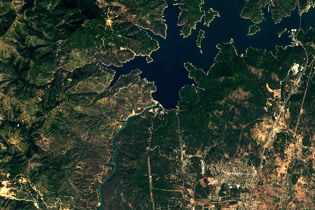
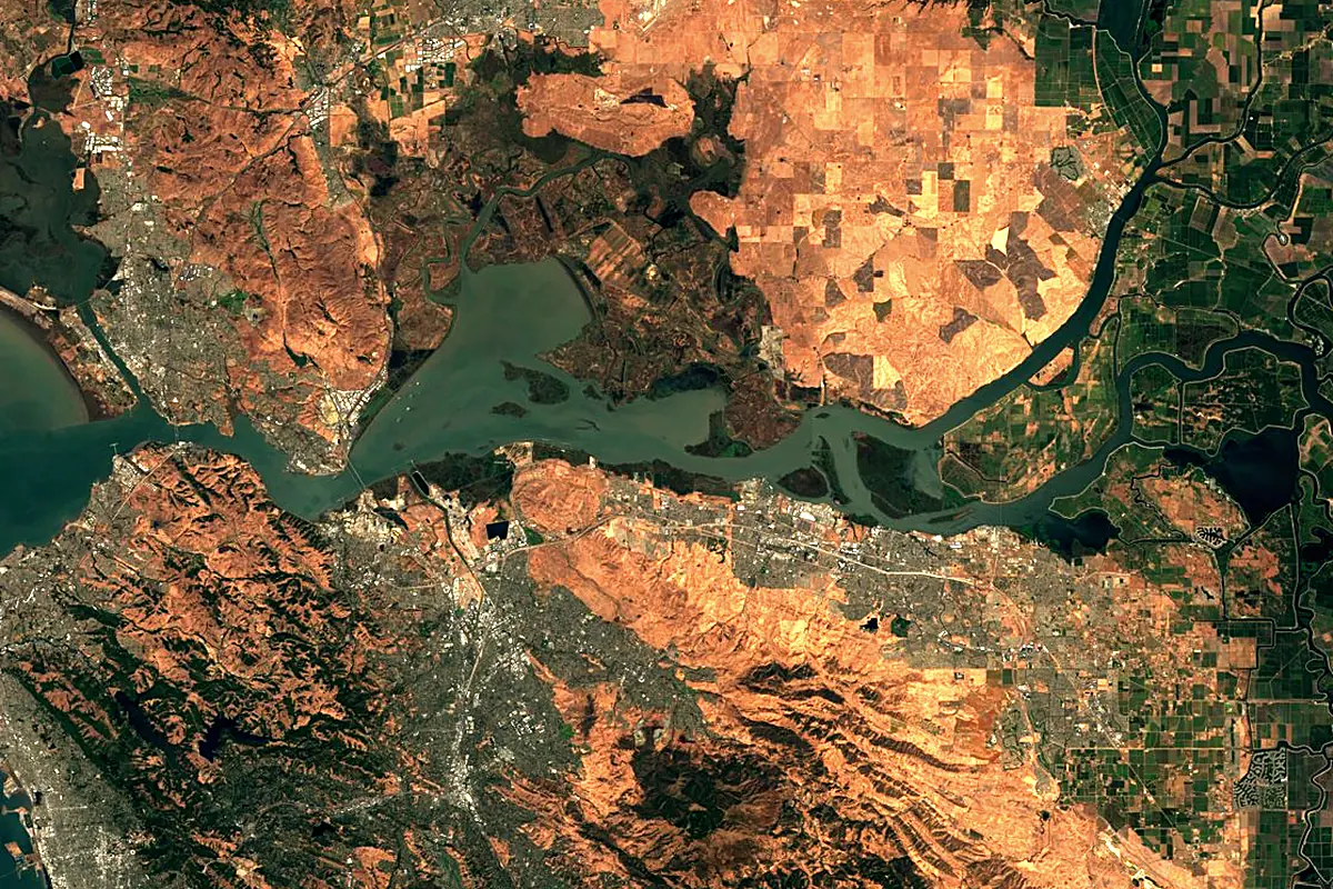
Sentinel-2 cloudless 2016 by EOX IT Services GmbH (contains modified Copernicus Sentinel data 2016), CC BY 4.0. The glowing line is the river as drawn by RiverATLAS.
Photos
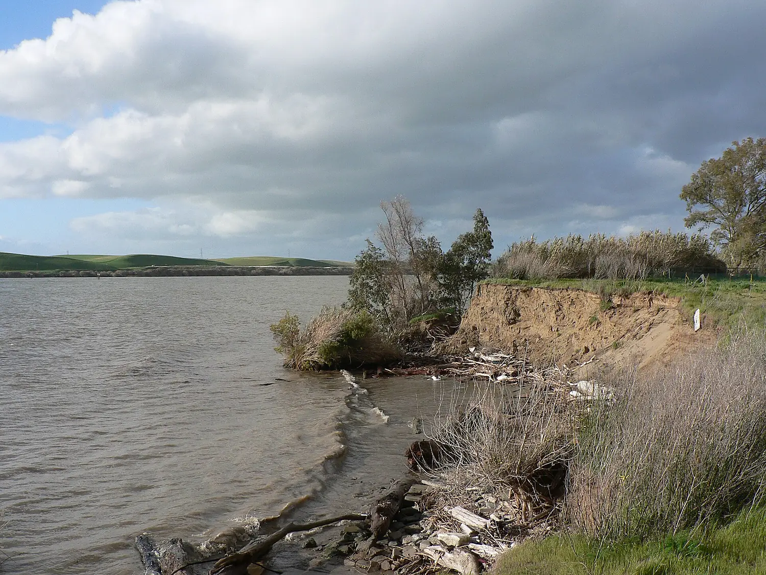
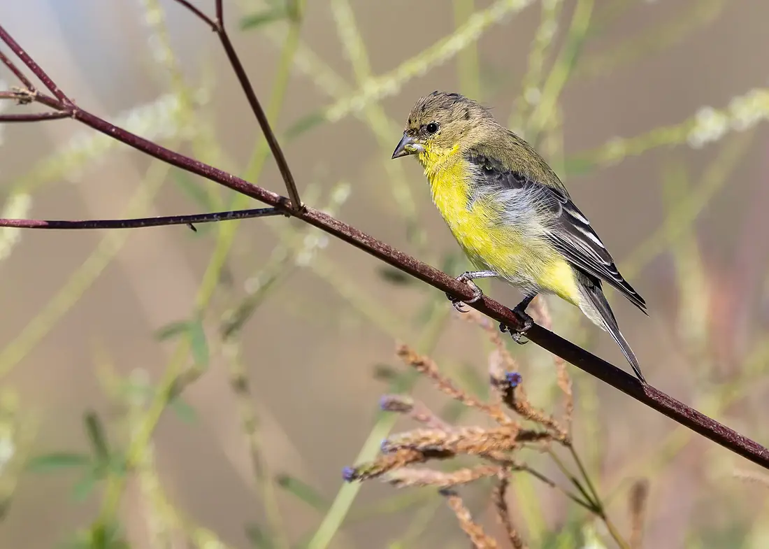
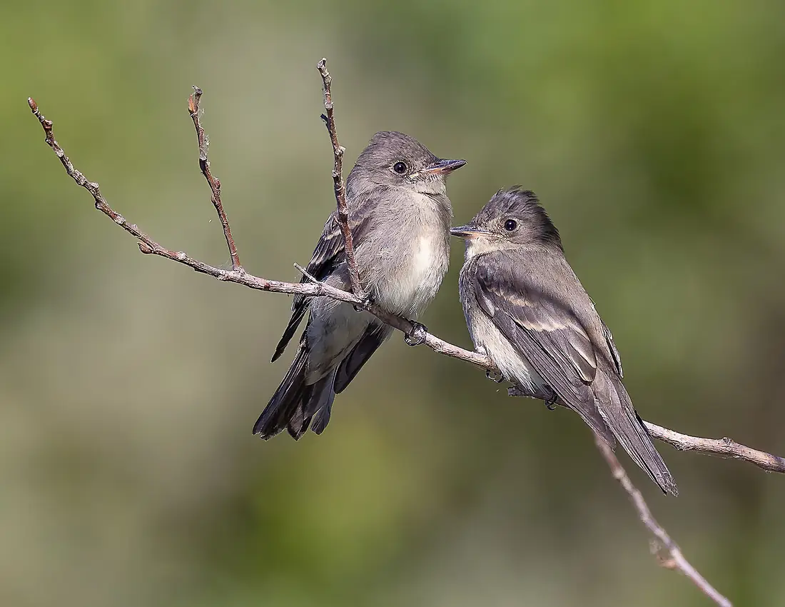
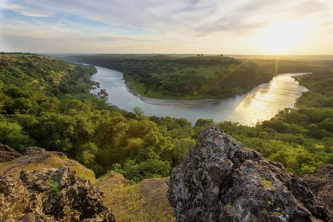
Sacramento River in pictures
Tributaries
Where it flows, and what flows into it
Tributaries (26)
Also: American River, Feather River, Pit River, McCloud River, Cache Creek, Butte Creek, Stony Creek, Cottonwood Creek, Cottonwood Creek, Battle Creek, Big Chico Creek, Clear Creek, Deer Creek, Dye Creek, Fall River, Marsh Creek, Mill Creek, Kabyai Creek, Jack Slough, Cow Creek, Tule River, Thomes Creek, Red Bank Creek, Elder Creek
In the same basin
Where these numbers come from
| Name, length, places | Wikidata (Q335575) · CC0 |
|---|---|
| Course, profile, basin | RiverATLAS v1.0 (HydroATLAS, Linke et al. 2019) · CC BY 4.0 — followed from the source to the mouth given by Wikidata |
| Flow | WaterGAP (RiverATLAS), 1971–2000 · CC BY 4.0 |
| Climate along the river | WorldClim (RiverATLAS), 1970–2000 · CC BY 4.0 |
| Towns, bridges, dams | Wikidata · CC0; GeoNames · CC BY 4.0 |
| Along the river | © OpenStreetMap contributors · ODbL |
| Images | EOX Sentinel-2 cloudless 2016 · CC BY 4.0; Wikimedia Commons |
| Our other atlases | Cascadyas, Lakeyas, Peakyas, Islandyas — Wikidata · CC0; © OpenStreetMap contributors · ODbL; GeoNames · CC BY 4.0; HydroLAKES · CC BY 4.0; NOAA OISST |
Every source and licence is on the data sources page.
The family
Do you prefer beaches, lakes, mountains, waterfalls, islands, rivers or canyons?
Same idea, other landscapes: field atlases built on open data, month by month, in seven languages.
 beaches
 Find your beach: sea temperature, sun and swimming month by month.Visit lakes
 Every lake on Earth: water temperature, ice, depth and the shore.Coming soonVisit mountains
 Every summit in 3D: summit weather, the 0 °C line, huts and trails.Visit waterfalls
 Every waterfall: height, flow month by month and when it roars.Coming soonVisit islands
 Every island from the sea up: size, sea temperature, ferries and 3D.Coming soonVisit
  rivers
 Every river from source to sea: the journey, the flow and the basin in numbers.You are here
 canyons
 Every canyon cut to scale: depth to the floor, rim and floor temperatures, trails and viewpoints.Coming soonVisit