River
Tiber
405 km from source to mouth · Italy.
 ItalyFlows into Tyrrhenian Sea3rd longest in Italy
In numbers
Length
405km
Average flow
240m³/s
Basin
17,375km²
Drop
393m
from 393 m to 0 m
Country
1
The journey
From source to mouth
405 km of river and 68 stops on the way: 26 towns and cities on its banks, dams, bridges and the tributaries that feed it.
- 0 kmSourceat 393 m
- 13 kmLago di Montedoglio2.9 km²
- 22 kmSansepolcro12,364 people
- 29 kmSan Giustino4,862 people
- 42 kmCittà di Castello22,497 people
- 72 kmUmbertide11,040 people
- 97 kmColombella3,199 people
- 99 kmPonte Felcino5,000 people
- 119 kmChiasciotributary
- 124 kmDeruta4,162 people
- 137 kmNestoretributary
- 137 kmMarsciano9,631 people
- 161 kmTodi15,345 people
- 183 kmLago di Corbara8.0 km²
- 186 kmPagliatributary
- 202 kmLake of Alviano3.1 km²
- 230 kmOrte3,865 people
- 234 kmNeratributary
- 235 kmOrte Scalo3,251 people
- 337 kmAlliatributary
- 339 kmCastel Giubileo Bridge
- 347 kmAnienetributary
- 350 kmPonte Flaminio (Rome)
- 350 kmPonte Milvio
- 351 kmPonte Duca d'Aosta
- 352 kmPonte della Musica
- 353 kmPonte del Risorgimento
- 354 kmPonte Giacomo Matteotti
- 354 kmPietro Nenni Bridge
- 354 kmCampo Marzio5,507 people
- 354 kmPonte Regina Margherita
- 354 kmPrati14,631 people
- 355 kmCastro Pretorio5,228 people
- 355 kmPonte Cavour
- 355 kmPonte Umberto I
- 355 kmCastel Sant'Angelo
- 356 kmPonte Sant'Angelo
- 356 kmBridge Vittorio Emanuele II
- 356 kmPons Neronianus
- 356 kmPonte3,375 people
- 356 kmPonte Principe Amedeo Savoia Aosta
- 356 kmPonte Giuseppe Mazzini
- 357 kmRegola3,017 people
- 357 kmPons Agrippae
- 357 kmPonte Sisto
- 357 kmTrastevere13,447 people
- 357 kmGaribaldi Bridge
- 358 kmPons Fabricius
- 358 kmPons Cestius
- 358 kmRome2,748,109 people
- 358 kmMonti11,956 people
- 358 kmPons Aemilius
- 358 kmPonte Palatino
- 358 kmPons Sublicius
- 358 kmSan Saba3,366 people
- 359 kmPonte Sublicio
- 359 kmPons Probi
- 360 kmPonte Testaccio
- 360 kmPonte San Paolo
- 360 kmPonte dell'Industria
- 361 kmTestaccio7,563 people
- 362 kmAlmonetributary
- 362 kmGuglielmo Marconi Bridge
- 367 kmPonte della Magliana
- 376 kmVitinia5,799 people
- 380 kmMalafede16,844 people
- 388 kmParco Leonardo4,196 people
- 398 kmLido di Ostia85,301 people
- 399 kmFiumicino80,738 people
- 405 kmTyrrhenian Seaat 0 m
Water level along the river (RiverATLAS; the height is exaggerated). Towns: GeoNames and Wikidata; bridges, dams and tributaries: Wikidata.
River in Italy
At the mouth it carries 239 m³/s on average: an Olympic pool every 10 seconds. It drops from 393 m to 0 m, 1.0 m per kilometre on average. Its basin covers 17,375 km², about the size of SZ. 4.4 million people live in it. Highest water: from November to January; lowest: from July to September. Dams and reservoirs hold back a large share of its water (11% of a year's flow).
Where to start
- RomeLargest city on its banks · 2,748,109 people
- Ciampino–G. B. Pastine International Airport (CIA)Nearest airport with scheduled flights, 14 km from the cityCar hire at CIA airport (Rome)Discover Cars · Affiliate link↗
- On the water25 ferry piers, marinas, boat rentals and boat ramps along the river (OpenStreetMap)
- From May to SeptemberThe best months to visit
Tiber, month by month
Highest water: from November to January
Lowest water: from July to September. Best months to visit: from May to September.
From about 94 m³/s in the lowest month to 350 m³/s in the highest. An estimate: the monthly flow is modelled from the lowest and highest months of WaterGAP (RiverATLAS, 1971–2000) and the rain and snow along the river (WorldClim). Dams change the real rhythm. The chip is the average air temperature; below it, the month's rain.
Plan the trip
Plan the trip: boat trips, a bed by the river, a car
Some links above are affiliate links: if you book through them we may earn a commission, at no extra cost to you. It never changes what the data on this page says.
The basin
Tiber: the basin in numbers
16,668 km² of land send their water to this river. This is what lives on it.
- 4.4millionpeople live in the basin
- 267/km²people per km²
- 519maverage altitude of the basin
- 836mmof rain a year (basin average)
- 12.6°Caverage air temperature
- 10%protected areas
- 0.2%covered by lakes
- 0.8km³held in reservoirs
What covers the basin
- 48% Forest
- 40% Cropland
- 7% Pasture
- 11% Towns and cities
RiverATLAS (HydroATLAS v1.0, CC BY 4.0): land cover, people, protected areas, glaciers and dams over the whole basin upstream of the mouth.
Along the river
Tiber: what you find on the way
- 22Weirs
- 4Waterfalls
- 11Boat ramps
- 4Ferry piersPonte Risorgimento, Ponte Cavour, Sant'Angelo and 1 more
- 9MarinasCircolo Nautico San Marco, Fiumicino Tecnomar Marina, Fiumicino Nautilus Marina and 6 more
From OpenStreetMap, within 1.9 km of the river. Not mapped is not the same as not there.
Cross-checked with our atlases
Tiber in our other atlases
What our sister atlases know about the waterfalls on this river, the lakes it flows through, the beaches at its mouth, the mountains where it rises and the islands off its mouth.
 3lakes on its wayLakeyas
 10beaches at the mouth and on the banksCoastya
 48mountains at the sourcePeakyas
 1island off the mouthIslandyas
Lakes and reservoirs (3)
Lakes it flows through, by Lakeyas
- Lago di Montedogliokm 112.9km²
- Lago di Corbarakm 154 · 51 m deep8.0km²
- Lake of Alvianokm 1713.1km²
Lakeyas is coming soonOpen Lakeyas ↗
Beaches (10)
At the mouth (25 km) and on the banks, by Coastya
- Spiaggia di Ostia2.6 km away25.6°C
- Spiaggia di Fiumicino3.7 km away25.4°C
- Spiaggia di Focene8.6 km away25.4°C
- Spiaggia di Rio Torto25 km away25.6°C
- Spiaggia Torvaianica21 km away25.6°C
- Zion Beach17 km away25.6°C
- Spiaggia di Passo Oscuro19 km away25.4°C
- Spiaggia di Fregene13 km away25.4°C
2 more on CoastyaOpen Coastya ↗
Mountains at the source (48)
Within 15 km of the source, by Peakyas
- Mount Fumaiolo0.1 km away · prominence 488 m1,407m
- Monte Penna (province of Arezzo)14 km away1,289m
- Poggio della Lombardona14 km away1,267m
- Ripa della Moia2.3 km away1,260m
- Monte Castelvecchio2.4 km away1,254m
- Monte Loggio7.4 km away1,186m
- Poggio le Corsicchie7.2 km away1,214m
- Poggio dei Tre Vescovi4.9 km away1,127m
40 more on PeakyasOpen Peakyas ↗
Islands off the mouth (1)
Within 30 km of the mouth, by Islandyas
- Isola Sacra1.2 km away
Islandyas is coming soonOpen Islandyas ↗
From space
The source and the mouth, seen from orbit
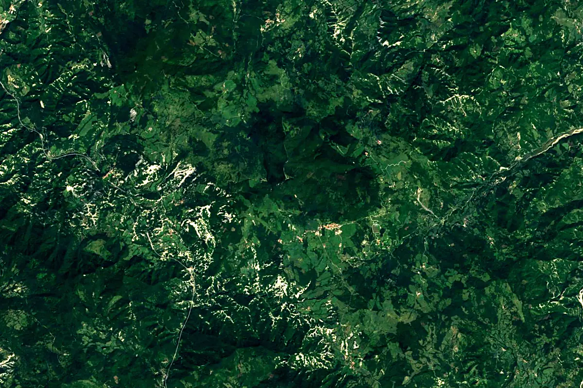
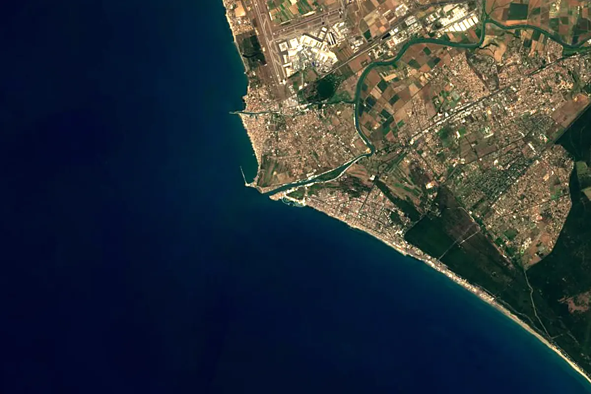
Sentinel-2 cloudless 2016 by EOX IT Services GmbH (contains modified Copernicus Sentinel data 2016), CC BY 4.0. The glowing line is the river as drawn by RiverATLAS.
Photos
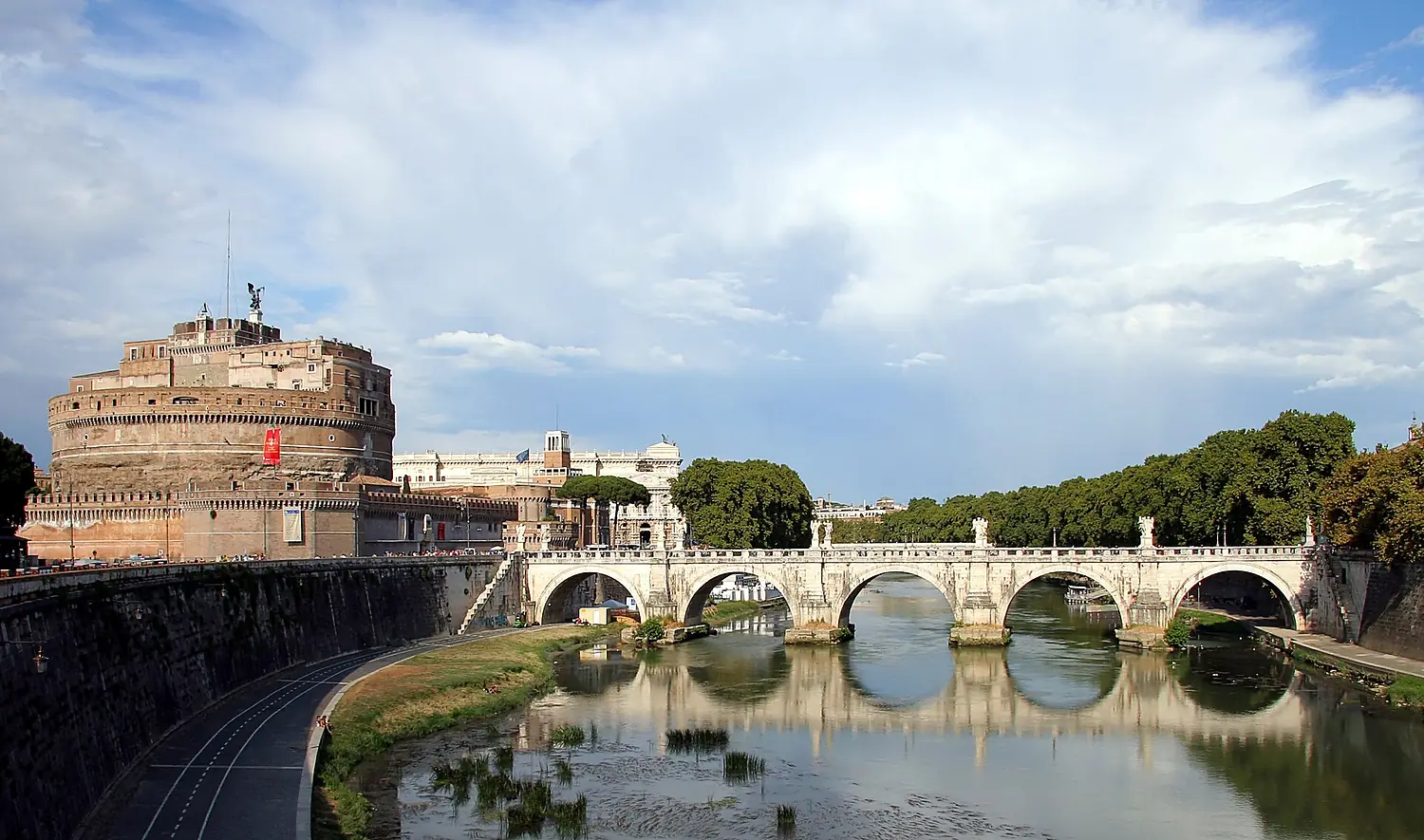
Tiber in pictures
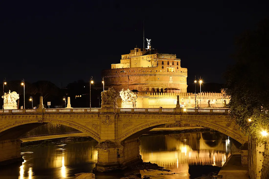
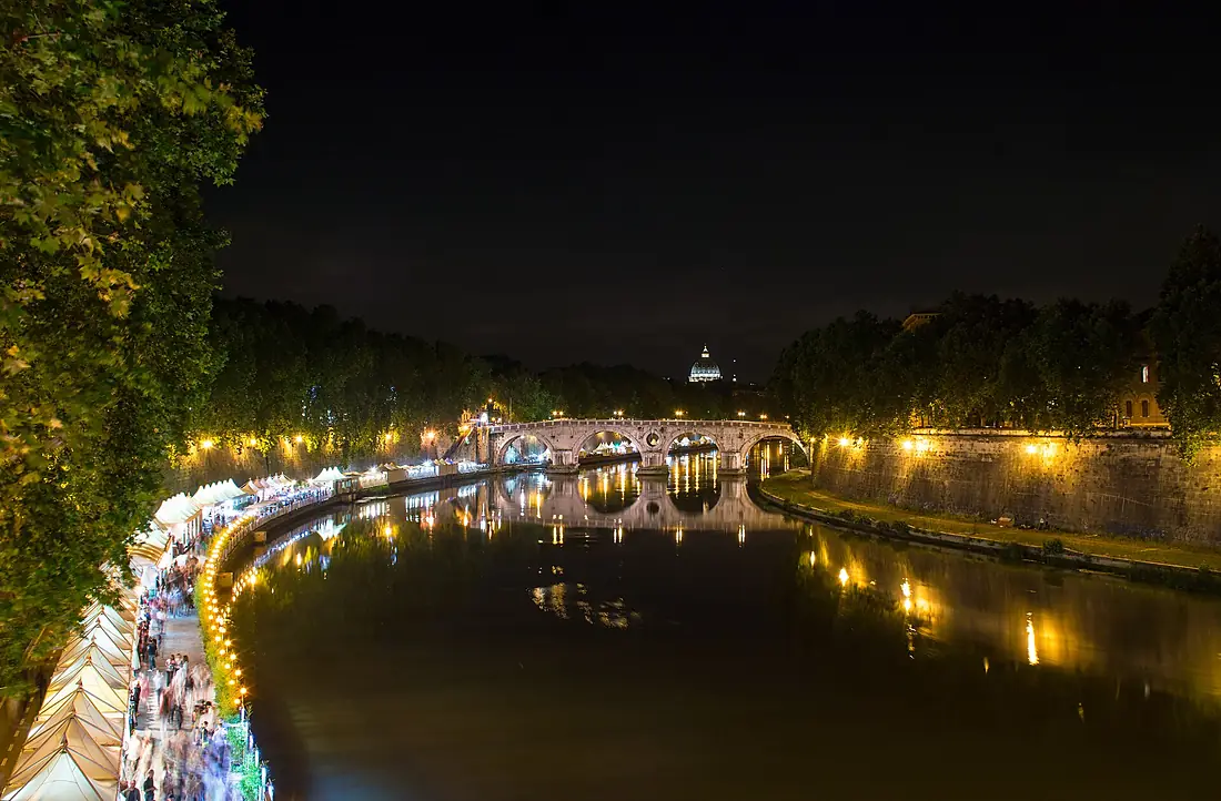
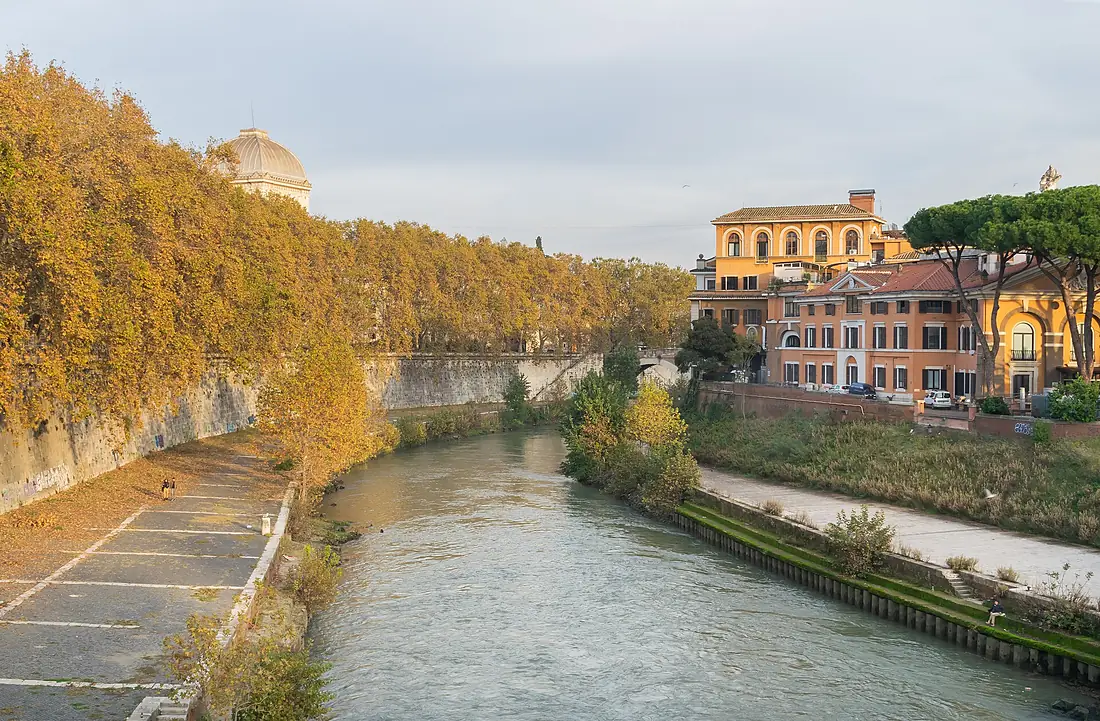
Tributaries
Where it flows, and what flows into it
Tributaries (14)
Also: Allia, Cremera, Paglia, Chiascio, Nestore, Treja, Almone, Naia, Afra, Farfa, Magliana, Puglia
Nearby
Rivers nearby
Where these numbers come from
| Name, length, places | Wikidata (Q13712) · CC0 |
|---|---|
| Course, profile, basin | RiverATLAS v1.0 (HydroATLAS, Linke et al. 2019) · CC BY 4.0 — followed from the source to the mouth given by Wikidata |
| Flow | WaterGAP (RiverATLAS), 1971–2000 · CC BY 4.0 |
| Climate along the river | WorldClim (RiverATLAS), 1970–2000 · CC BY 4.0 |
| Towns, bridges, dams | Wikidata · CC0; GeoNames · CC BY 4.0 |
| Along the river | © OpenStreetMap contributors · ODbL |
| Images | EOX Sentinel-2 cloudless 2016 · CC BY 4.0; Wikimedia Commons |
| Our other atlases | Lakeyas, Coastya, Peakyas, Islandyas — Wikidata · CC0; © OpenStreetMap contributors · ODbL; GeoNames · CC BY 4.0; HydroLAKES · CC BY 4.0; NOAA OISST |
Every source and licence is on the data sources page.
The family
Do you prefer beaches, lakes, mountains, waterfalls, islands, rivers or canyons?
Same idea, other landscapes: field atlases built on open data, month by month, in seven languages.
beaches Find your beach: sea temperature, sun and swimming month by month.Visit lakes
 Every lake on Earth: water temperature, ice, depth and the shore.Coming soonVisit mountains
 Every summit in 3D: summit weather, the 0 °C line, huts and trails.Visit
  waterfalls
 Every waterfall: height, flow month by month and when it roars.Coming soonVisit islands
 Every island from the sea up: size, sea temperature, ferries and 3D.Coming soonVisit
  rivers
 Every river from source to sea: the journey, the flow and the basin in numbers.You are here
 canyons
 Every canyon cut to scale: depth to the floor, rim and floor temperatures, trails and viewpoints.Coming soonVisit