Wadi
Valley of the Queens
4,302 km from source to mouth · Egypt.
 Egypt2nd longest in Egypt
In numbers
Length
4,302km
Average flow
2,600m³/s
Basin
2,815,682km²
Drop
1,050m
from 1,119 m to 69 m
Country
1
The journey
From source to mouth
4,302 km of river and 43 stops on the way: 38 towns and cities on its banks, dams, bridges and the tributaries that feed it.
- 0 kmSourceat 1,119 m
- 33 kmKas55,255 people
- 214 kmTullus41,807 people
- 1,008 kmLake No47 km²
- 1,022 kmMay‘a Sinyora1.7 km²
- 1,066 kmNyibodo12 km²
- 1,070 kmMay‘a Berboi2.2 km²
- 1,150 kmMalakal160,765 people
- 1,639 kmRabak135,281 people
- 1,645 kmKosti345,068 people
- 1,662 kmAl Jazeera Aba21,683 people
- 1,718 kmAl Kawa10,167 people
- 1,730 kmUm Jar Al Gharbiyya9,038 people
- 1,739 kmALdinigila wad dhahi15,000 people
- 1,754 kmAd Douiem87,068 people
- 1,810 kmWad az Zāki9,271 people
- 1,862 kmAl Qiţena18,321 people
- 1,953 kmOmdurman1,849,659 people
- 1,955 kmKhartoum North1,012,211 people
- 2,129 kmEl Matama11,366 people
- 2,136 kmShendi63,746 people
- 2,265 kmAd-Damir103,941 people
- 2,276 kmAtbara112,021 people
- 2,312 kmBerber26,203 people
- 2,339 kmEl Bauga19,141 people
- 2,745 kmKuraymah19,593 people
- 2,755 kmMerowe10,234 people
- 2,875 kmAd Dabbah11,626 people
- 3,024 kmDongola56,167 people
- 3,780 kmLake Nasser5,385 km²
- 3,796 kmAswān379,774 people
- 3,832 kmDarāw61,790 people
- 3,835 kmKom Ombo409,311 people
- 3,891 kmAr Radīsīyah Qiblī16,190 people
- 3,900 kmEdfu79,510 people
- 3,927 kmAl Başalīyah Baḩrī32,920 people
- 3,933 kmAs Sibā‘īyah21,610 people
- 3,949 kmEsna462,787 people
- 3,990 kmŢūd30,780 people
- 3,992 kmArmant78,695 people
- 4,003 kmAl Bayāḑīyah23,550 people
- 4,006 kmLuxor422,407 people
- 4,009 kmAz Zaynīyah Qiblī20,000 people
- 4,009 kmAţ Ţārif38,871 people
- 4,302 kmMouthat 69 m
Water level along the river (RiverATLAS; the height is exaggerated). Towns: GeoNames and Wikidata; bridges, dams and tributaries: Wikidata.
Ancient Egyptian necropolis
At the mouth it carries 2,567 m³/s on average: 1.0 Olympic pools every second. It drops from 1,119 m to 69 m, 0.2 m per kilometre on average. Its basin covers 2,815,682 km², about the size of AR. 152 million people live in it. Highest water: from August to September; lowest: from January to April. It is heavily dammed: reservoirs can hold 212% of a year's flow.
Where to start
- OmdurmanLargest city on its banks · 1,849,659 people
- Khartoum International Airport (KRT)Nearest airport with scheduled flights, 10 km from the cityCar hire in LuxorDiscover Cars · Affiliate link↗
- On the water103 ferry piers, marinas, boat rentals and boat ramps along the river (OpenStreetMap)
- From November to FebruaryThe best months to visit
Valley of the Queens, month by month
Highest water: from August to September
Lowest water: from January to April. Best months to visit: from November to February.
From about 340 m³/s in the lowest month to 7,400 m³/s in the highest. An estimate: the monthly flow is modelled from the lowest and highest months of WaterGAP (RiverATLAS, 1971–2000) and the rain and snow along the river (WorldClim). Dams change the real rhythm. The chip is the average air temperature; below it, the month's rain.
Plan the trip
Plan the trip: boat trips, a bed by the river, a car
Some links above are affiliate links: if you book through them we may earn a commission, at no extra cost to you. It never changes what the data on this page says.
The basin
Valley of the Queens: the basin in numbers
2,815,682 km² of land send their water to this river. This is what lives on it.
- 152millionpeople live in the basin
- 55/km²people per km²
- 769maverage altitude of the basin
- 695mmof rain a year (basin average)
- 25.4°Caverage air temperature
- 8%protected areas
- 3.2%covered by lakes
- 172km³held in reservoirs
What covers the basin
- 9% Forest
- 11% Cropland
- 37% Pasture
- 2% Towns and cities
RiverATLAS (HydroATLAS v1.0, CC BY 4.0): land cover, people, protected areas, glaciers and dams over the whole basin upstream of the mouth.
Along the river
Valley of the Queens: what you find on the way
- 9WeirsFlood discharge and 8 more
- 5LocksHawis Suhayl and 4 more
- 2WaterfallsSixth Cataract, Nile 5th. Cataract
- 2Boat ramps
- 93Ferry piersStation phrases, Qustul, Abu Simbel and 90 more
- 8MarinasWadi El Seboua, Dakka, New Kalabsha and 5 more
- 1River beaches
From OpenStreetMap, within 3.3 km of the river. Not mapped is not the same as not there.
Cross-checked with our atlases
Valley of the Queens in our other atlases
What our sister atlases know about the waterfalls on this river, the lakes it flows through, the beaches at its mouth, the mountains where it rises and the islands off its mouth.
 5lakes on its wayLakeyas
 9mountains at the sourcePeakyas
Lakes and reservoirs (5)
Lakes it flows through, by Lakeyas
- Lake Nokm 1,00847km²
- May‘a Sinyorakm 1,0221.7km²
- Nyibodokm 1,06612km²
- May‘a Berboikm 1,0702.2km²
- Lake Nasserkm 3,780 · 25 m deep5,385km²
Lakeyas is coming soonOpen Lakeyas ↗
Mountains at the source (9)
Within 15 km of the source, by Peakyas
- Dada13 km away
- Jabal Diyeir14 km away
- Hagar Tergil7.4 km away
- Nasudido2.0 km away
- Jabal Auli7.9 km away
- Jabal Terga6.1 km away
- Jabal Asanga14 km away
- Jabal Fura14 km away
1 more on PeakyasOpen Peakyas ↗
From space
The source and the mouth, seen from orbit
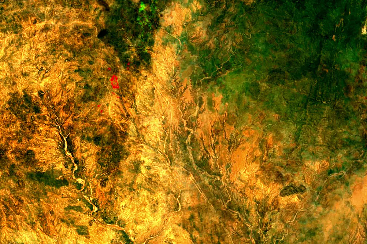
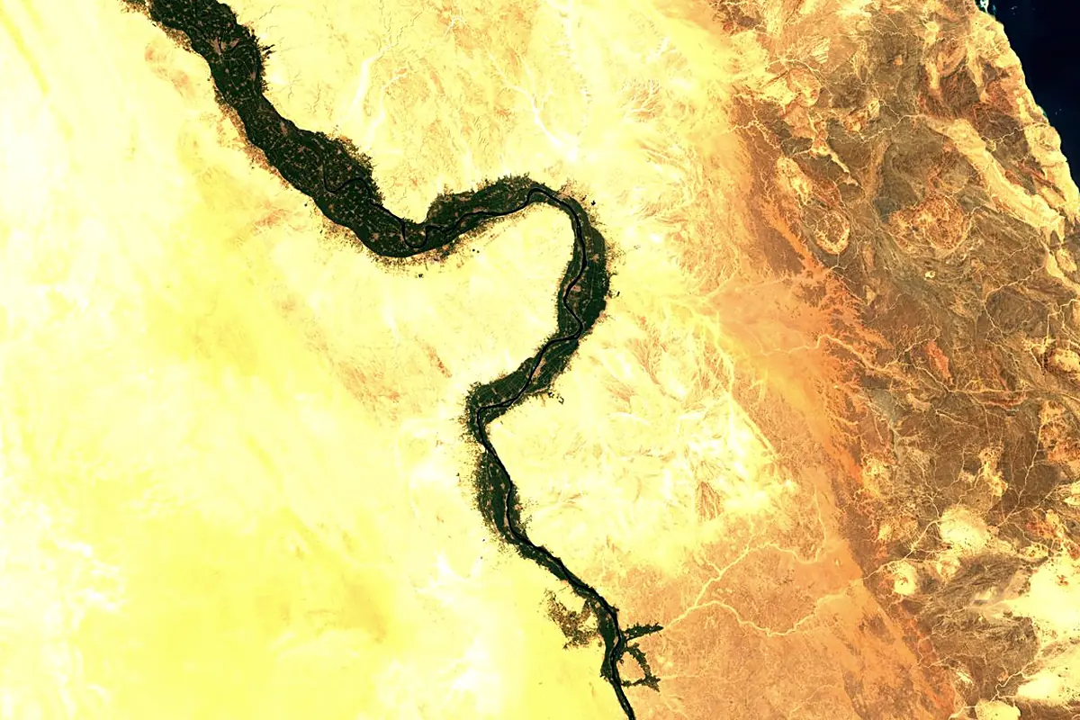
Sentinel-2 cloudless 2016 by EOX IT Services GmbH (contains modified Copernicus Sentinel data 2016), CC BY 4.0. The glowing line is the river as drawn by RiverATLAS.
Photos
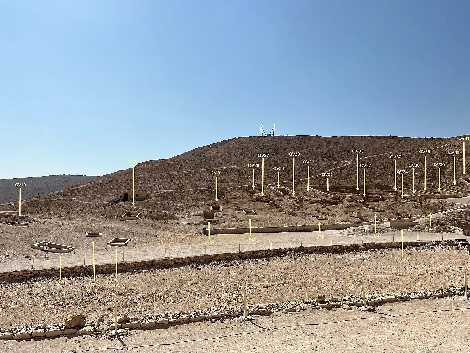
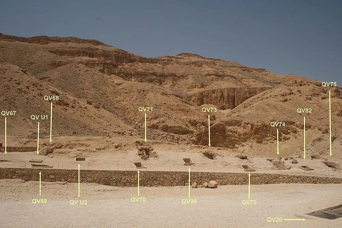
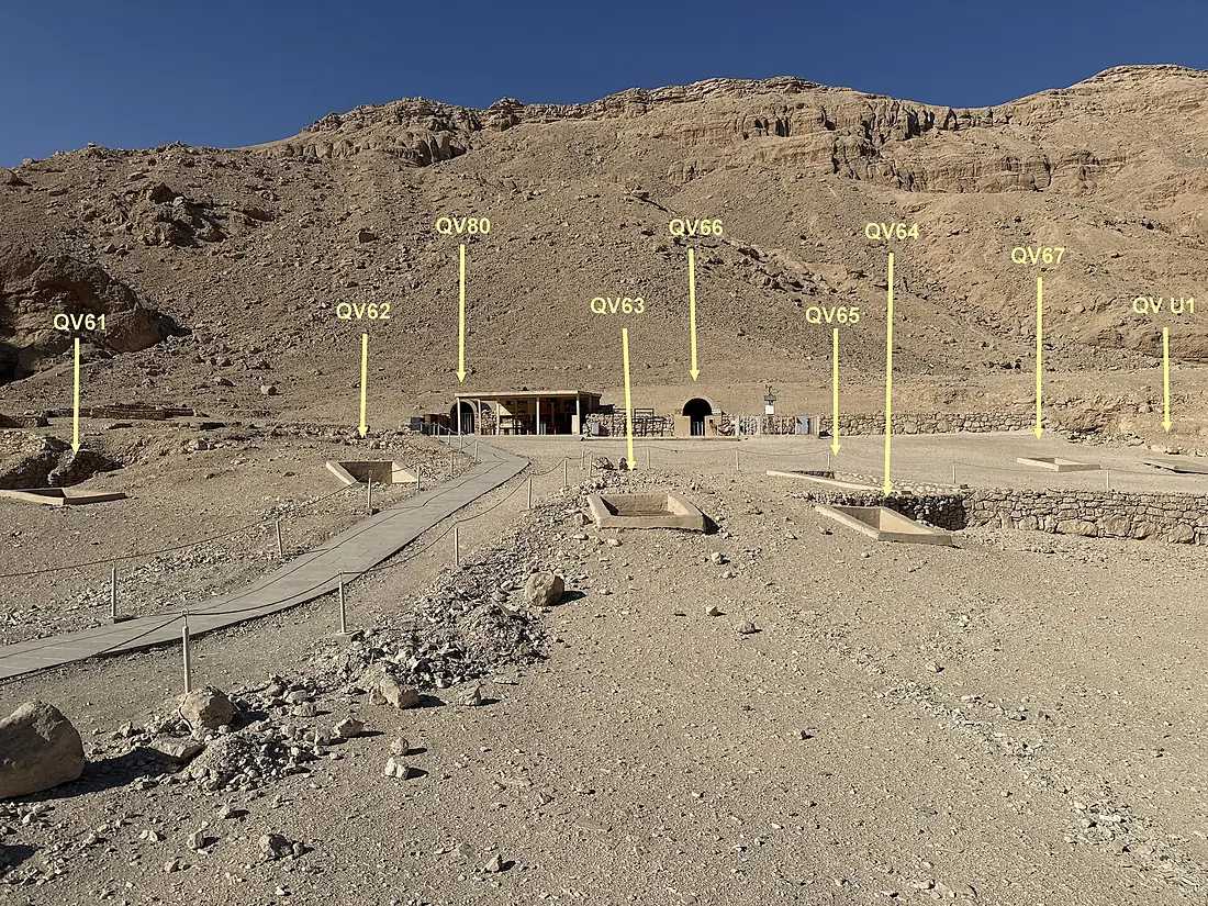
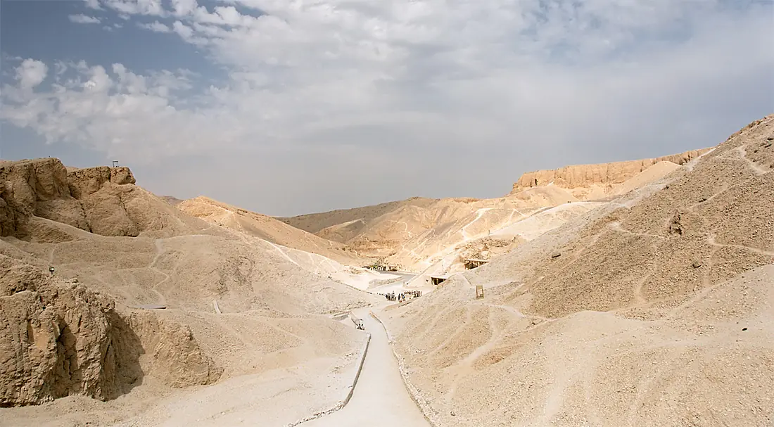
Valley of the Queens in pictures
Tributaries
Where it flows, and what flows into it
In the same basin
Egypt6,650 km2,800 m³/sWhite Nile Sudan2,620 km880 m³/sBlue NileSudan1,783 km1,500 m³/sKagera River
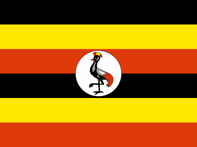 Uganda400 km350 m³/sSobat River
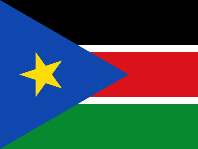 South Sudan306 km410 m³/sAtbarah RiverSudan1,120 km370 m³/sBahr el Ghazal RiverSouth Sudan716 km2.0 m³/sTekezé RiverSudan608 km140 m³/sMara River
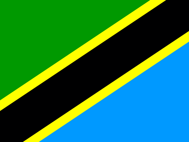 Tanzania395 km18 m³/sBaro River
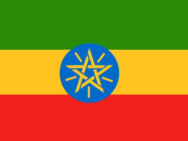 Ethiopia306 km240 m³/s
Nearby
Rivers nearby
 Palestine
Where these numbers come from
| Name, length, places | Wikidata (Q260386) · CC0 |
|---|---|
| Course, profile, basin | RiverATLAS v1.0 (HydroATLAS, Linke et al. 2019) · CC BY 4.0 — followed along the river network from the point given by Wikidata |
| Flow | WaterGAP (RiverATLAS), 1971–2000 · CC BY 4.0 |
| Climate along the river | WorldClim (RiverATLAS), 1970–2000 · CC BY 4.0 |
| Towns, bridges, dams | Wikidata · CC0; GeoNames · CC BY 4.0 |
| Along the river | © OpenStreetMap contributors · ODbL |
| Images | EOX Sentinel-2 cloudless 2016 · CC BY 4.0; Wikimedia Commons |
| Our other atlases | Lakeyas, Peakyas — Wikidata · CC0; © OpenStreetMap contributors · ODbL; GeoNames · CC BY 4.0; HydroLAKES · CC BY 4.0; NOAA OISST |
Every source and licence is on the data sources page.
The family
Do you prefer beaches, lakes, mountains, waterfalls, islands, rivers or canyons?
Same idea, other landscapes: field atlases built on open data, month by month, in seven languages.
 beaches
 Find your beach: sea temperature, sun and swimming month by month.Visit lakes
 Every lake on Earth: water temperature, ice, depth and the shore.Coming soonVisit mountains
 Every summit in 3D: summit weather, the 0 °C line, huts and trails.Visit
  waterfalls
 Every waterfall: height, flow month by month and when it roars.Coming soonVisit
  islands
 Every island from the sea up: size, sea temperature, ferries and 3D.Coming soonVisit
  rivers
 Every river from source to sea: the journey, the flow and the basin in numbers.You are here
 canyons
 Every canyon cut to scale: depth to the floor, rim and floor temperatures, trails and viewpoints.Coming soonVisit