River
Western Bug
772 km from source to mouth · Poland, Belarus and Ukraine.
 Poland, Belarus and UkraineFlows into Narew4th longest in Poland
In numbers
Length
772km
Average flow
110m³/s
Basin
73,470km²
Drop
189m
from 262 m to 73 m
Countries
3
The journey
From source to mouth
772 km of river and 68 stops on the way: 45 towns and cities on its banks, dams, bridges and the tributaries that feed it.
- 0 kmPodolian Uplandat 262 m
- 37 kmBusk8,662 people
- 39 kmPoltva Rivertributary
- 73 kmKamyanka-Buzka10,397 people
- 73 kmKamianka-Buzka10,397 people
- 90 kmDobrotvir6,685 people
- 93 kmDobrotvir Reservoir4.3 km²
- 110 kmSosnivka13,163 people
- 111 kmHorodyshche132 people
- 116 kmRatatributary
- 119 kmSolokiia Rivertributary
- 120 kmSheptytskyi64,297 people
- 123 kmVelyke274 people
- 129 kmBilyi Stiktributary
- 134 kmSokal20,986 people
- 164 kmLytovezh1,507 people
- 164 kmVarezhankatributary
- 178 kmKryłów289 people
- 183 kmPoromiv839 people
- 201 kmHuczwatributary
- 208 kmStrzyżów1,213 people
- 217 kmZosin207 people
- 219 kmUstyluh2,060 people
- 219 kmŁugtributary
- 228 kmHorodło938 people
- 273 kmDorohusk435 people
- 302 kmUherkatributary
- 313 kmZbereże139 people
- 338 kmOrchava0.5 km²
- 340 kmOrchówek1,070 people
- 342 kmWłodawkatributary
- 342 kmWłodawa12,500 people
- 370 kmKuzawka215 people
- 373 kmSławatycze1,104 people
- 400 kmKodeń1,638 people
- 407 kmKałamankatributary
- 410 kmSpanaŭkatributary
- 419 kmŻuki, Gmina Terespol14 people
- 420 kmMurawiec54 people
- 427 kmBrest347,138 people
- 427 kmCiarespaĺski Bridge of the Brest Fortress
- 433 kmMukhavets Rivertributary
- 437 kmBug bridge (Kukuryki/Brest)
- 438 kmTerespol5,309 people
- 442 kmNeple189 people
- 446 kmKrzyczew123 people
- 450 kmLiasnajatributary
- 450 kmKrznatributary
- 458 kmPratulin64 people
- 471 kmPulwatributary
- 492 kmNiemirów100 people
- 493 kmGnojno99 people
- 503 kmSerpelice290 people
- 509 kmMielnik879 people
- 520 kmSzerszenie14,000 people
- 526 kmKózki61 people
- 541 kmTocznatributary
- 547 kmDrohiczyn1,848 people
- 577 kmGranne149 people
- 590 kmNurzectributary
- 602 kmNur558 people
- 610 kmZuzela144 people
- 625 kmMałkinia Górna5,514 people
- 640 kmBroktributary
- 676 kmBrańszczyk1,342 people
- 681 kmKamieńczyk665 people
- 684 kmLiwiectributary
- 689 kmWyszków26,349 people
- 727 kmArciechów319 people
- 772 kmNarewat 73 m
Water level along the river (RiverATLAS; the height is exaggerated). Towns: GeoNames and Wikidata; bridges, dams and tributaries: Wikidata.
Major European river
At the mouth it carries 110 m³/s on average: an Olympic pool every 23 seconds. It drops from 262 m to 73 m, 0.2 m per kilometre on average. Its basin covers 73,470 km², about the size of SL. 3.0 million people live in it. Highest water: from March to May; lowest: from January to February. No large dam holds it back: it is one of the world's free-flowing rivers.
Where to start
- BrestLargest city on its banks · 347,138 people
- Brest International Airport (BQT)Nearest airport with scheduled flights, 17 km from the cityCar hire at LUZ airport (Lublin)Discover Cars · Affiliate link↗
- On the water42 ferry piers, marinas, boat rentals and boat ramps along the river (OpenStreetMap)
- Kayak and canoe1 put-ins and rapids mapped (OpenStreetMap)
- From May to SeptemberThe best months to visit
Western Bug, month by month
Highest water: from March to May
Lowest water: from January to February. Freezing months (average below −4 °C): January. Best months to visit: from May to September.
From about 86 m³/s in the lowest month to 330 m³/s in the highest. An estimate: the monthly flow is modelled from the lowest and highest months of WaterGAP (RiverATLAS, 1971–2000) and the rain and snow along the river (WorldClim). Dams change the real rhythm. The chip is the average air temperature; below it, the month's rain.
Plan the trip
Plan the trip: boat trips, a bed by the river, a car
Some links above are affiliate links: if you book through them we may earn a commission, at no extra cost to you. It never changes what the data on this page says.
The basin
Western Bug: the basin in numbers
38,675 km² of land send their water to this river. This is what lives on it.
- 3.0millionpeople live in the basin
- 77/km²people per km²
- 175maverage altitude of the basin
- 568mmof rain a year (basin average)
- 7.3°Caverage air temperature
- 13%protected areas
- 0.5%covered by lakes
What covers the basin
- 20% Forest
- 44% Cropland
- 17% Pasture
- 3% Towns and cities
RiverATLAS (HydroATLAS v1.0, CC BY 4.0): land cover, people, protected areas, glaciers and dams over the whole basin upstream of the mouth.
Along the river
Western Bug: what you find on the way
- 5Weirs
- 1Waterfalls
- 1Canoe put-ins
- 8Boat rampsStrzyzów - Łukaszówka and 7 more
- 11Ferry piersSezonowa przeprawa promowa Mielnik Przedmieście - Zabuże, Tramwaj turystyczny, Popowo and 8 more
- 17MarinasPrzystań Krokodylek Włodawa, Stannica, Własny Port and 14 more
- 15River beachesPlaża pompka, Jezioro Glinki – Plaża, Plaża Wieżba and 12 more
From OpenStreetMap, within 2.2 km of the river. Not mapped is not the same as not there.
Cross-checked with our atlases
Western Bug in our other atlases
What our sister atlases know about the waterfalls on this river, the lakes it flows through, the beaches at its mouth, the mountains where it rises and the islands off its mouth.
 2lakes on its wayLakeyas
 4mountains at the sourcePeakyas
Lakes and reservoirs (2)
Lakes it flows through, by Lakeyas
- Dobrotvir Reservoirkm 794.3km²
- Orchavakm 2870.5km²
Lakeyas is coming soonOpen Lakeyas ↗
Mountains at the source (4)
Within 15 km of the source, by Peakyas
- Sviata Hora10 km away388m
- Mount Zbarazh14 km away412m
- Mount Menych2.1 km away405m
- White Mountain13 km away372m
From space
The source and the mouth, seen from orbit
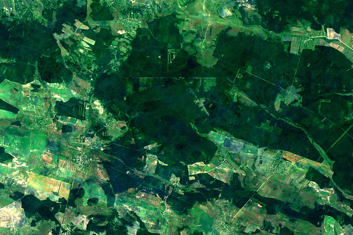
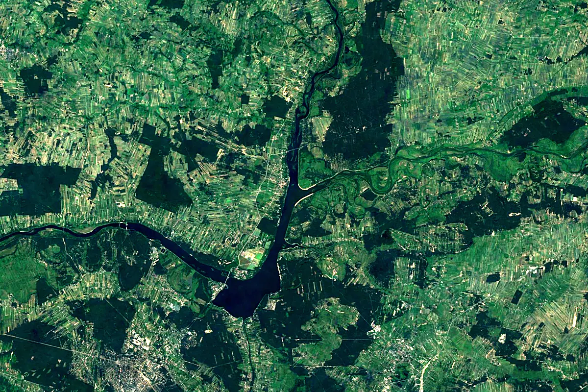
Sentinel-2 cloudless 2016 by EOX IT Services GmbH (contains modified Copernicus Sentinel data 2016), CC BY 4.0. The glowing line is the river as drawn by RiverATLAS.
Photos
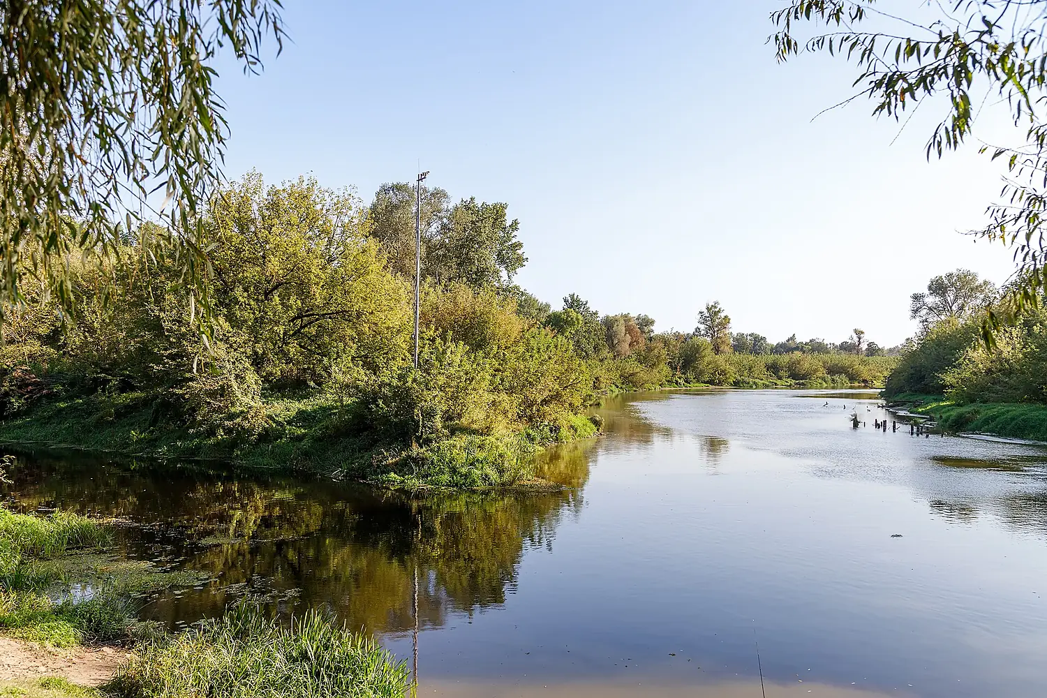
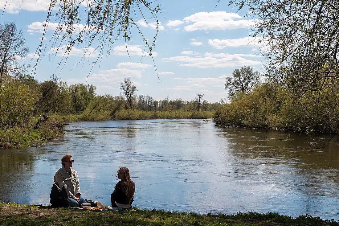
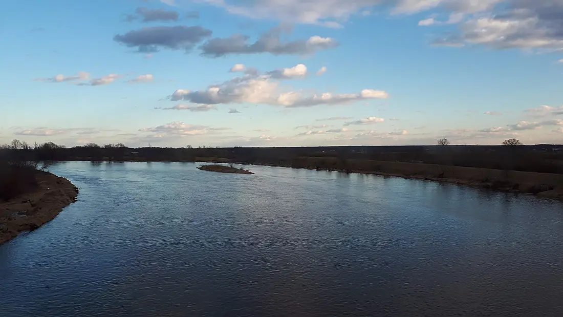
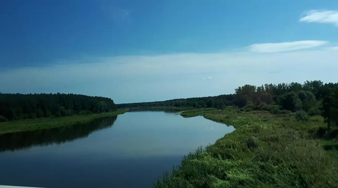
Western Bug in pictures
Tributaries
Where it flows, and what flows into it
It flows into
NarewPoland484 km320 m³/sTributaries (40)
Also: Krzna, Liwiec, Nurzec, Poltva River, Liasnaja, Pulwa, Solokiia River, Ług, Włodawka, Uherka, Huczwa, Kapajówka, Rata, Brok, Kamianka, Varezhanka, Bilyi Stik, Kamenka, Spanaŭka, Toczna, Rokitna, Zolochivka, Kałamanka, Kołodziejka
Nearby
Rivers nearby
Where these numbers come from
| Name, length, places | Wikidata (Q156237) · CC0 |
|---|---|
| Course, profile, basin | RiverATLAS v1.0 (HydroATLAS, Linke et al. 2019) · CC BY 4.0 — followed from the source to the mouth given by Wikidata |
| Flow | WaterGAP (RiverATLAS), 1971–2000 · CC BY 4.0 |
| Climate along the river | WorldClim (RiverATLAS), 1970–2000 · CC BY 4.0 |
| Towns, bridges, dams | Wikidata · CC0; GeoNames · CC BY 4.0 |
| Along the river | © OpenStreetMap contributors · ODbL |
| Images | EOX Sentinel-2 cloudless 2016 · CC BY 4.0; Wikimedia Commons |
| Our other atlases | Lakeyas, Peakyas — Wikidata · CC0; © OpenStreetMap contributors · ODbL; GeoNames · CC BY 4.0; HydroLAKES · CC BY 4.0; NOAA OISST |
Every source and licence is on the data sources page.
The family
Do you prefer beaches, lakes, mountains, waterfalls, islands, rivers or canyons?
Same idea, other landscapes: field atlases built on open data, month by month, in seven languages.
 beaches
 Find your beach: sea temperature, sun and swimming month by month.Visit lakes
 Every lake on Earth: water temperature, ice, depth and the shore.Coming soonVisit mountains
 Every summit in 3D: summit weather, the 0 °C line, huts and trails.Visit
  waterfalls
 Every waterfall: height, flow month by month and when it roars.Coming soonVisit
  islands
 Every island from the sea up: size, sea temperature, ferries and 3D.Coming soonVisit
  rivers
 Every river from source to sea: the journey, the flow and the basin in numbers.You are here
 canyons
 Every canyon cut to scale: depth to the floor, rim and floor temperatures, trails and viewpoints.Coming soonVisit