River
Zambezi River
2,574 km from source to mouth · 5 countries.
 Mozambique, Namibia, Angola, Zambia and ZimbabweFlows into Indian Ocean1st longest in Mozambique
In numbers
Length
2,574km
Average flow
7,000m³/s
Basin
1,570,000km²
Drop
1,291m
from 1,293 m to 2 m
Countries
5
The journey
From source to mouth
2,574 km of river and 47 stops on the way: 18 towns and cities on its banks, dams, bridges and the tributaries that feed it.
- 0 kmLunda Plateauat 1,293 m
- 196 kmCazombo34,000 people
- 277 kmLuena Rivertributary
- 342 kmChavuma18,902 people
- 344 kmChavuma Falls
- 417 kmZambezi26,885 people
- 502 kmLungwebungu Rivertributary
- 507 kmLukulu19,344 people
- 571 kmLuena River, Zambiatributary
- 727 kmSenanga20,878 people
- 795 kmNgonye Falls
- 795 kmSioma
- 801 kmSioma bridge
- 901 kmKatima Mulilo Bridge
- 904 kmKatima Mulilo33,615 people
- 906 kmSesheke29,922 people
- 1,022 kmImpalila1,000 people
- 1,026 kmKazungula Bridge
- 1,027 kmKazungula12,095 people
- 1,087 kmLivingstone177,393 people
- 1,089 kmVictoria FallsUNESCO World Heritage
- 1,090 kmVictoria Falls Bridge
- 1,122 kmMoemba Falls
- 1,213 kmGwayi Rivertributary
- 1,437 kmSiavonga26,951 people
- 1,440 kmKariba Dam
- 1,443 kmKariba27,600 people
- 1,492 kmChirundu35,403 people
- 1,492 kmChirundu Bridge
- 1,504 kmKafue Rivertributary
- 1,575 kmSapi rivertributary
- 1,659 kmLuangwa9,187 people
- 1,660 kmLuangwa Rivertributary
- 1,680 kmManyame Rivertributary
- 1,880 kmCahora Bassa Reservoir2,049 km²
- 1,880 kmCahora Bassa Dam
- 1,887 kmSongo31,101 people
- 1,990 kmSamora Machel Bridge
- 1,990 kmTete152,909 people
- 1,994 kmRevúboé Rivertributary
- 1,994 kmKassuende Bridge
- 2,020 kmGairezi Rivertributary
- 2,063 kmLago Duate1.3 km²
- 2,193 kmNhamayabué10,088 people
- 2,195 kmDona Ana Bridge
- 2,234 kmShire Rivertributary
- 2,249 kmArmando Emilio Guebuza Bridge
- 2,326 kmMarromeu45,777 people
- 2,574 kmIndian Oceanat 2 m
Water level along the river (RiverATLAS; the height is exaggerated). Towns: GeoNames and Wikidata; bridges, dams and tributaries: Wikidata.
Fourth-longest river in Africa
At the mouth it carries 7,000 m³/s on average: 2.8 Olympic pools every second. It drops from 1,293 m to 2 m, 0.5 m per kilometre on average. Its basin covers 1,570,000 km², about the size of MN. 39.0 million people live in it. Highest water: from February to March; lowest: from July to October. It is heavily dammed: reservoirs can hold 210% of a year's flow.
Where to start
- LivingstoneLargest city on its banks · 177,393 people
- Harry Mwanga Nkumbula International Airport (LVI)Nearest airport with scheduled flights, 6 km from the cityCar hire at LVI airport (Livingstone)Discover Cars · Affiliate link↗
- On the water43 ferry piers, marinas, boat rentals and boat ramps along the river (OpenStreetMap)
- From May to SeptemberThe best months to visit
Zambezi River, month by month
Highest water: from February to March
Lowest water: from July to October. Best months to visit: from May to September.
From about 750 m³/s in the lowest month to 9,000 m³/s in the highest. An estimate: the monthly flow is modelled from the lowest and highest months of WaterGAP (RiverATLAS, 1971–2000) and the rain and snow along the river (WorldClim). Dams change the real rhythm. The chip is the average air temperature; below it, the month's rain.
Plan the trip
Plan the trip: boat trips, a bed by the river, a car
Some links above are affiliate links: if you book through them we may earn a commission, at no extra cost to you. It never changes what the data on this page says.
The basin
Zambezi River: the basin in numbers
1,377,921 km² of land send their water to this river. This is what lives on it.
- 39.0millionpeople live in the basin
- 29/km²people per km²
- 1,013maverage altitude of the basin
- 940mmof rain a year (basin average)
- 21.4°Caverage air temperature
- 27%protected areas
- 2.8%covered by lakes
- 258km³held in reservoirs
What covers the basin
- 48% Forest
- 6% Cropland
- 37% Pasture
- 1% Towns and cities
RiverATLAS (HydroATLAS v1.0, CC BY 4.0): land cover, people, protected areas, glaciers and dams over the whole basin upstream of the mouth.
Along the river
Zambezi River: what you find on the way
- 2Weirs
- 12WaterfallsGerozi Rapids, Chavuma Falls, Ngonye Falls and 9 more
- 14Boat rampsVictoria Falls Boat Club, Blue Water Charters, Nymamouba Lodge Slipway and 11 more
- 26Ferry piersKalongola, Kazungula Ferry, Lake Kariba Ferries and 23 more
- 3MarinasAnchorage Marina, Andora Harbour
From OpenStreetMap, within 3.1 km of the river. Not mapped is not the same as not there.
Cross-checked with our atlases
Zambezi River in our other atlases
What our sister atlases know about the waterfalls on this river, the lakes it flows through, the beaches at its mouth, the mountains where it rises and the islands off its mouth.
 5waterfalls on the riverCascadyas
 2lakes on its wayLakeyas
Waterfalls (5)
On the river, by Cascadyas
- Chavuma Fallskm 398
- Ngonye Fallskm 919
- Siomakm 919
- Victoria Fallskm 1,259108m
- Moemba Fallskm 1,297
Cascadyas is coming soonOpen Cascadyas ↗
Lakes and reservoirs (2)
Lakes it flows through, by Lakeyas
- Cahora Bassa Reservoirkm 2,1732,049km²
- Lago Duatekm 2,3851.3km²
Lakeyas is coming soonOpen Lakeyas ↗
From space
The source and the mouth, seen from orbit
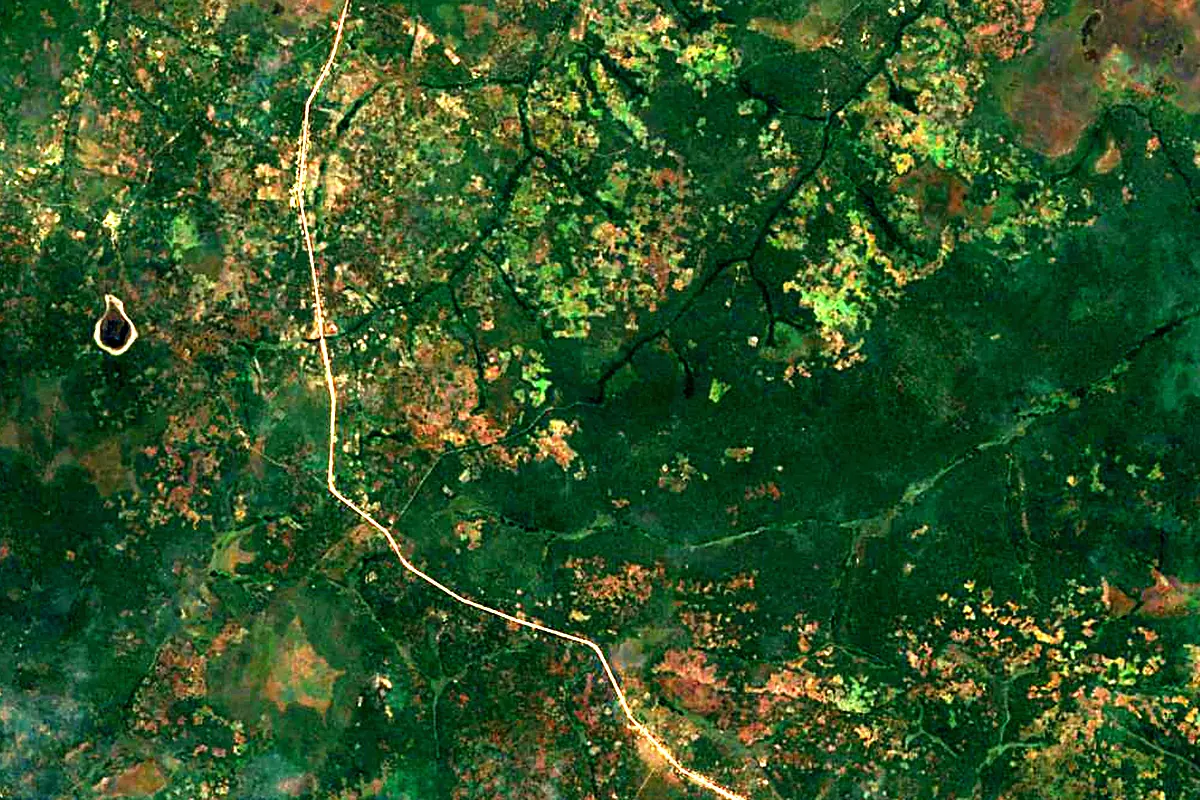
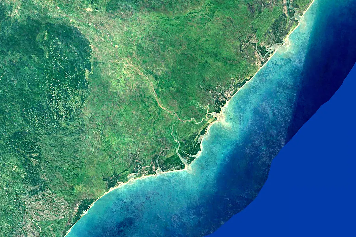
Sentinel-2 cloudless 2016 by EOX IT Services GmbH (contains modified Copernicus Sentinel data 2016), CC BY 4.0. The glowing line is the river as drawn by RiverATLAS.
Photos
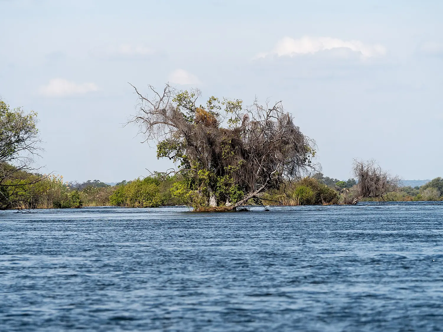
Zambezi River in pictures
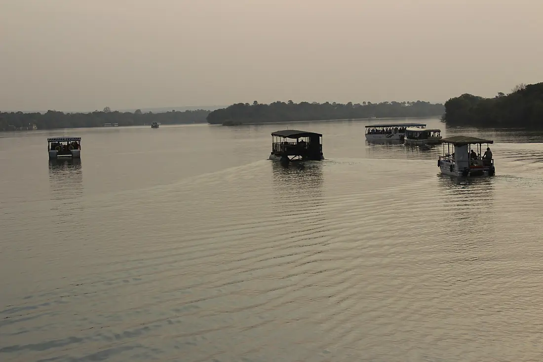
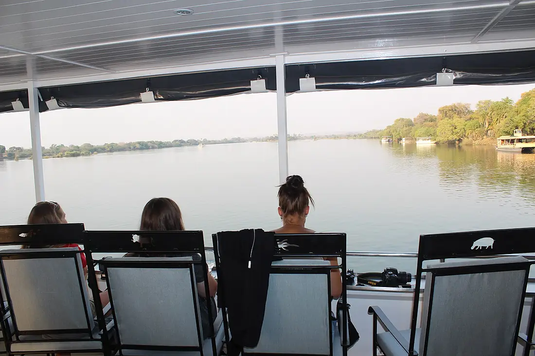
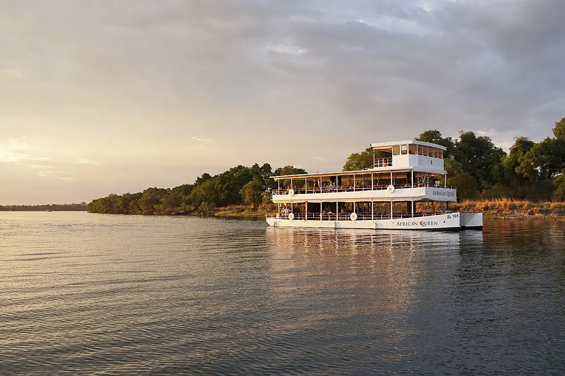
Tributaries
Where it flows, and what flows into it
Tributaries (18)
Zambia1,577 km310 m³/sjoins at km 1,739Luangwa RiverZambia770 km720 m³/sjoins at km 1,919Cuando RiverNamibia731 km64 m³/sShire RiverMozambique402 km600 m³/sjoins at km 2,583Also: Kabompo River, Mazowe River, Luanginga River, Lungwebungu River, Gwayi River, Luena River, Manyame River, Sapi river, Gairezi River, Chongwe, Luena River, Zambia, Sakeji River, Revúboé River, Kalomo
 Malawi
Where these numbers come from
| Name, length, places | Wikidata (Q43106) · CC0 |
|---|---|
| Course, profile, basin | RiverATLAS v1.0 (HydroATLAS, Linke et al. 2019) · CC BY 4.0 — followed from the source to the mouth given by Wikidata |
| Flow | WaterGAP (RiverATLAS), 1971–2000 · CC BY 4.0 |
| Climate along the river | WorldClim (RiverATLAS), 1970–2000 · CC BY 4.0 |
| Towns, bridges, dams | Wikidata · CC0; GeoNames · CC BY 4.0 |
| Along the river | © OpenStreetMap contributors · ODbL |
| Images | EOX Sentinel-2 cloudless 2016 · CC BY 4.0; Wikimedia Commons |
| Our other atlases | Cascadyas, Lakeyas — Wikidata · CC0; © OpenStreetMap contributors · ODbL; GeoNames · CC BY 4.0; HydroLAKES · CC BY 4.0; NOAA OISST |
Every source and licence is on the data sources page.
The family
Do you prefer beaches, lakes, mountains, waterfalls, islands, rivers or canyons?
Same idea, other landscapes: field atlases built on open data, month by month, in seven languages.
 beaches
 Find your beach: sea temperature, sun and swimming month by month.Visit lakes
 Every lake on Earth: water temperature, ice, depth and the shore.Coming soonVisit
  mountains
 Every summit in 3D: summit weather, the 0 °C line, huts and trails.Visit waterfalls
 Every waterfall: height, flow month by month and when it roars.Coming soonVisit
  islands
 Every island from the sea up: size, sea temperature, ferries and 3D.Coming soonVisit
  rivers
 Every river from source to sea: the journey, the flow and the basin in numbers.You are here
 canyons
 Every canyon cut to scale: depth to the floor, rim and floor temperatures, trails and viewpoints.Coming soonVisit