River
Adda
313 km from source to mouth · Italy.
 ItalyFlows into Po4th longest in Italy
In numbers
Length
313km
Average flow
190m³/s
Basin
7,979km²
Drop
1,292m
from 1,328 m to 36 m
Country
1
The journey
From source to mouth
313 km of river and 68 stops on the way: 51 towns and cities on its banks, dams, bridges and the tributaries that feed it.
- 0 kmSourceat 1,328 m
- 2 kmValdidentro4,168 people
- 10 kmBormio3,894 people
- 15 kmValdisotto3,217 people
- 36 kmGrosio4,431 people
- 40 kmRoascotributary
- 51 kmTirano8,828 people
- 57 kmPoschiavinotributary
- 83 kmSondrio19,208 people
- 88 kmMallerotributary
- 95 kmBerbenno di Valtellina3,358 people
- 104 kmArdenno3,051 people
- 108 kmTalamona4,766 people
- 112 kmMorbegno10,472 people
- 115 kmCosio Valtellino5,135 people
- 115 kmRegoledo4,621 people
- 124 kmDelebio3,252 people
- 128 kmDubino3,418 people
- 131 kmColico Piano7,204 people
- 137 kmGravedona-San Gregorio3,697 people
- 139 kmDongo3,407 people
- 148 kmBellano3,050 people
- 153 kmMenaggio3,178 people
- 156 kmFiumelatte
- 166 kmMandello del Lario10,255 people
- 170 kmTorrent Zerbo
- 176 kmValmadrera-Caserta11,609 people
- 177 kmMalgrate4,204 people
- 177 kmLecco46,871 people
- 178 kmPonte John Fitzgerald Kennedy
- 178 kmPonte Azzone Visconti
- 182 kmGalbiate4,513 people
- 184 kmVittorio Emanuele III bridge
- 186 kmOlginate6,979 people
- 186 kmLake Como145 km²
- 186 kmCalolziocorte13,794 people
- 188 kmValgreghentino3,103 people
- 193 kmCisano Bergamasco4,803 people
- 193 kmCastle of Brivio
- 194 kmBrivio4,631 people
- 197 kmVilla d'Adda4,530 people
- 198 kmCarvico4,618 people
- 200 kmDiga di Robbiate
- 200 kmMerate13,024 people
- 200 kmRobbiate5,969 people
- 200 kmPaderno d'Adda3,834 people
- 201 kmPonte San Michele
- 201 kmCalusco d'Adda8,157 people
- 206 kmSuisio3,831 people
- 208 kmCornate d'Adda8,905 people
- 209 kmBottanuco5,121 people
- 212 kmCapriate San Gervasio7,714 people
- 212 kmTrezzo sull'Adda Bridge
- 213 kmbridge between Trezzo sull’Adda and Capriate San Gervasio
- 213 kmTrezzo sull'Adda11,782 people
- 214 kmBrembate6,499 people
- 216 kmPontirolo Nuovo4,428 people
- 217 kmCanonica d'Adda4,089 people
- 217 kmVaprio d'Adda7,901 people
- 219 kmBrembotributary
- 220 kmFara Gera d'Adda6,575 people
- 225 kmCassano d'Adda17,267 people
- 232 kmRivolta d'Adda7,154 people
- 241 kmZelo Buon Persico6,140 people
- 243 kmSpino d'Adda6,584 people
- 254 kmLodi44,709 people
- 254 kmBridge of Lodi
- 279 kmSeriotributary
- 294 kmPizzighettone4,205 people
- 313 kmPoat 36 m
Water level along the river (RiverATLAS; the height is exaggerated). Towns: GeoNames and Wikidata; bridges, dams and tributaries: Wikidata.
River in Italy
At the mouth it carries 187 m³/s on average: an Olympic pool every 13 seconds. It drops from 1,328 m to 36 m, 4.1 m per kilometre on average. Its basin covers 7,979 km², about the size of PR. 2.0 million people live in it. Highest water: from November to December. Its dams hold back little of its water (4.2% of a year's flow).
Where to start
- LeccoLargest city on its banks · 46,871 people
- Il Caravaggio International Airport (BGY)Nearest airport with scheduled flights, 32 km from the cityCar hire at BGY airport (Orio al Serio)Discover Cars · Affiliate link↗
- On the water132 ferry piers, marinas, boat rentals and boat ramps along the river (OpenStreetMap)
- Kayak and canoe2 put-ins and rapids mapped (OpenStreetMap)
- From May to SeptemberThe best months to visit
Adda, month by month
Highest water: from November to December
Best months to visit: from May to September.
From about 79 m³/s in the lowest month to 480 m³/s in the highest. An estimate: the monthly flow is modelled from the lowest and highest months of WaterGAP (RiverATLAS, 1971–2000) and the rain and snow along the river (WorldClim). Dams change the real rhythm. The chip is the average air temperature; below it, the month's rain.
Plan the trip
Plan the trip: boat trips, a bed by the river, a car
Some links above are affiliate links: if you book through them we may earn a commission, at no extra cost to you. It never changes what the data on this page says.
The basin
Adda: the basin in numbers
7,842 km² of land send their water to this river. This is what lives on it.
- 2.0millionpeople live in the basin
- 263/km²people per km²
- 1,144maverage altitude of the basin
- 1,089mmof rain a year (basin average)
- 7.1°Caverage air temperature
- 7%protected areas
- 2.1%covered by lakes
- 5%permafrost
- 0.3km³held in reservoirs
What covers the basin
- 52% Forest
- 14% Cropland
- 20% Pasture
- 17% Towns and cities
RiverATLAS (HydroATLAS v1.0, CC BY 4.0): land cover, people, protected areas, glaciers and dams over the whole basin upstream of the mouth.
Along the river
Adda: what you find on the way
- 244WeirsVia Argine Destro, Centrale Boffetto, Diga di Robbiate and 241 more
- 11LocksNaviglio di Paderno and 10 more
- 31WaterfallsCascata Crap de Scegn 100m, Cascata Cassiodora, Cascata Pissaloca and 28 more
- 1Rapids
- 1Canoe put-insLe Prese
- 51Boat rampsCanoa & Kayak Club Cassano, Canna del Traghetto and 49 more
- 30Ferry piersColico, Domaso, Piona and 27 more
- 47MarinasAlto Lario Marine Center, Gera Lario, Circolo Vela Canottieri and 44 more
- 14River beachesLa Punta, L' Isola degli Incapaci, Spiagga Villa Osio and 11 more
From OpenStreetMap, within 1.7 km of the river. Not mapped is not the same as not there.
Cross-checked with our atlases
Adda in our other atlases
What our sister atlases know about the waterfalls on this river, the lakes it flows through, the beaches at its mouth, the mountains where it rises and the islands off its mouth.
 2waterfalls on the riverCascadyas
 1lake on its wayLakeyas
 125mountains at the sourcePeakyas
Waterfalls (2)
On the river, by Cascadyas
- Fiumelattekm 142
- Torrent Zerbokm 154
Cascadyas is coming soonOpen Cascadyas ↗
Lakes and reservoirs (1)
Lakes it flows through, by Lakeyas
- Lake Comokm 169 · 410 m deep145km²
Lakeyas is coming soonOpen Lakeyas ↗
Mountains at the source (125)
Within 15 km of the source, by Peakyas
- Cima Piazzi15 km away · prominence 1,212 m3,439m
- Piz Quattervals14 km away · prominence 471 m3,165m
- Piz Murtaröl4.5 km away · prominence 679 m3,180m
- Piz Schumbraida7.6 km away · prominence 315 m3,125m
- Piz Chaschauna13 km away · prominence 289 m3,071m
- Piz Tea Fondada5.3 km away · prominence 319 m3,144m
- Piz da l'Acqua10 km away · prominence 318 m3,126m
- Piz dal Diavel11 km away · prominence 176 m3,062m
117 more on PeakyasOpen Peakyas ↗
From space
The source and the mouth, seen from orbit
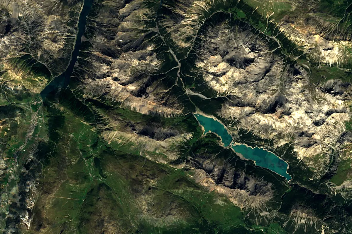
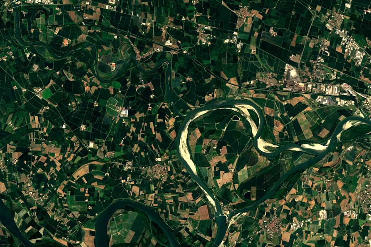
Sentinel-2 cloudless 2016 by EOX IT Services GmbH (contains modified Copernicus Sentinel data 2016), CC BY 4.0. The glowing line is the river as drawn by RiverATLAS.
Photos
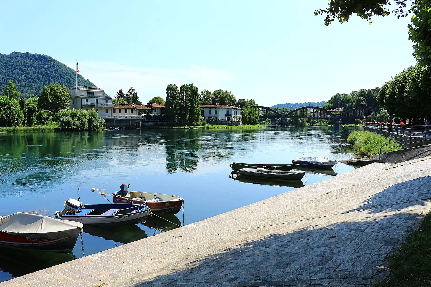
Adda in pictures
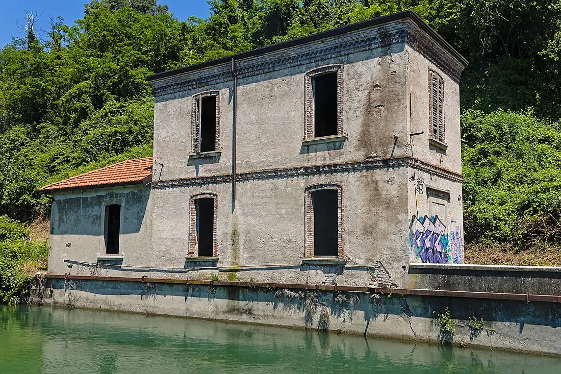
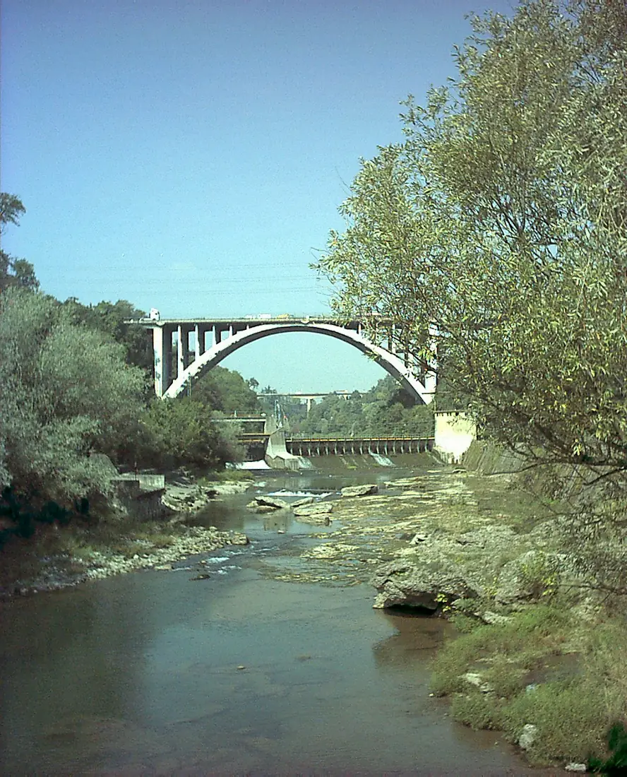
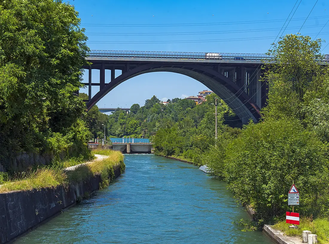
Tributaries
Where it flows, and what flows into it
It flows into
PoItaly652 km1,500 m³/sTributaries (7)
Also: Brembo, Serio, Poschiavino, Mallero, Roasco, Frodolfo, Masino
Where these numbers come from
| Name, length, places | Wikidata (Q63109) · CC0 |
|---|---|
| Course, profile, basin | RiverATLAS v1.0 (HydroATLAS, Linke et al. 2019) · CC BY 4.0 — followed from the source to the mouth given by Wikidata |
| Flow | WaterGAP (RiverATLAS), 1971–2000 · CC BY 4.0 |
| Climate along the river | WorldClim (RiverATLAS), 1970–2000 · CC BY 4.0 |
| Towns, bridges, dams | Wikidata · CC0; GeoNames · CC BY 4.0 |
| Along the river | © OpenStreetMap contributors · ODbL |
| Images | EOX Sentinel-2 cloudless 2016 · CC BY 4.0; Wikimedia Commons |
| Our other atlases | Cascadyas, Lakeyas, Peakyas — Wikidata · CC0; © OpenStreetMap contributors · ODbL; GeoNames · CC BY 4.0; HydroLAKES · CC BY 4.0; NOAA OISST |
Every source and licence is on the data sources page.
The family
Do you prefer beaches, lakes, mountains, waterfalls, islands, rivers or canyons?
Same idea, other landscapes: field atlases built on open data, month by month, in seven languages.
 beaches
 Find your beach: sea temperature, sun and swimming month by month.Visit lakes
 Every lake on Earth: water temperature, ice, depth and the shore.Coming soonVisit mountains
 Every summit in 3D: summit weather, the 0 °C line, huts and trails.Visit waterfalls
 Every waterfall: height, flow month by month and when it roars.Coming soonVisit
  islands
 Every island from the sea up: size, sea temperature, ferries and 3D.Coming soonVisit
  rivers
 Every river from source to sea: the journey, the flow and the basin in numbers.You are here
 canyons
 Every canyon cut to scale: depth to the floor, rim and floor temperatures, trails and viewpoints.Coming soonVisit