River
Damodar River
592 km from source to mouth · India.
 IndiaFlows into Hooghly River
In numbers
Length
592km
Average flow
680m³/s
Basin
24,235km²
Drop
197m
from 197 m to 0 m
Country
1
The journey
From source to mouth
592 km of river and 41 stops on the way: 41 towns and cities on its banks, dams, bridges and the tributaries that feed it.
- 0 kmSourceat 197 m
- 58 kmDumka47,663 people
- 146 kmSainthia43,221 people
- 286 kmKātoya78,408 people
- 322 kmPātuli4,694 people
- 340 kmMuragācha10,324 people
- 363 kmNavadwīp111,123 people
- 401 kmKālna53,964 people
- 464 kmKalyani93,184 people
- 467 kmKānchrāpāra136,954 people
- 467 kmBānsbāria108,474 people
- 470 kmHālīsahar128,172 people
- 474 kmHugli177,005 people
- 476 kmNaihāti253,221 people
- 479 kmBhātpāra483,129 people
- 482 kmChandannagar180,623 people
- 487 kmShyamnagar441,956 people
- 489 kmBhadreswar121,662 people
- 496 kmBaidyabāti115,504 people
- 499 kmShrīrāmpur226,317 people
- 500 kmBārākpur148,174 people
- 503 kmTitāgarh127,751 people
- 505 kmRishra117,014 people
- 505 kmKhardah128,346 people
- 507 kmKonnagar76,082 people
- 509 kmPānihāti378,705 people
- 512 kmKāmārhāti332,965 people
- 515 kmBāli296,973 people
- 517 kmChakapara27,320 people
- 518 kmBaranagar260,072 people
- 525 kmKolkata4,631,392 people
- 526 kmBara Bazar7,985 people
- 528 kmHowrah1,027,672 people
- 540 kmMasila11,461 people
- 541 kmSānkrāil27,523 people
- 545 kmMaheshtala448,317 people
- 549 kmRaghudebbati12,833 people
- 552 kmFort Gloster18,350 people
- 554 kmBudge Budge76,837 people
- 559 kmPujali37,047 people
- 562 kmUluberiya235,345 people
- 569 kmMāyāpur10,871 people
- 592 kmHooghly Riverat 0 m
Water level along the river (RiverATLAS; the height is exaggerated). Towns: GeoNames and Wikidata; bridges, dams and tributaries: Wikidata.
River in India
At the mouth it carries 678 m³/s on average: an Olympic pool every 3.7 seconds. It drops from 197 m to 0 m, 0.3 m per kilometre on average. Its basin covers 24,235 km², about the size of MK. 35.9 million people live in it. Highest water: from August to September; lowest: from January to April. Its dams hold back little of its water (2.9% of a year's flow).
Where to start
- KolkataLargest city on its banks · 4,631,392 people
- Netaji Subhash Chandra Bose International Airport (CCU)Nearest airport with scheduled flights, 13 km from the cityCar hire at CCU airport (Kolkata)Discover Cars · Affiliate link↗
- On the water53 ferry piers, marinas, boat rentals and boat ramps along the river (OpenStreetMap)
- From November to FebruaryThe best months to visit
Damodar River, month by month
Highest water: from August to September
Lowest water: from January to April. Best months to visit: from November to February.
From about 100 m³/s in the lowest month to 1,900 m³/s in the highest. An estimate: the monthly flow is modelled from the lowest and highest months of WaterGAP (RiverATLAS, 1971–2000) and the rain and snow along the river (WorldClim). Dams change the real rhythm. The chip is the average air temperature; below it, the month's rain.
Plan the trip
Plan the trip: boat trips, a bed by the river, a car
Some links above are affiliate links: if you book through them we may earn a commission, at no extra cost to you. It never changes what the data on this page says.
The basin
Damodar River: the basin in numbers
29,728 km² of land send their water to this river. This is what lives on it.
- 35.9millionpeople live in the basin
- 1,240/km²people per km²
- 79maverage altitude of the basin
- 1,341mmof rain a year (basin average)
- 26.1°Caverage air temperature
- 0.5%covered by lakes
- 0.6km³held in reservoirs
What covers the basin
- 2% Forest
- 70% Cropland
- 1% Pasture
- 23% Towns and cities
RiverATLAS (HydroATLAS v1.0, CC BY 4.0): land cover, people, protected areas, glaciers and dams over the whole basin upstream of the mouth.
Along the river
Damodar River: what you find on the way
- 5Weirs
- 7LocksCircular Canal, Nimtola Ghat Sluice Gate, Canning Street Sluice Gate and 4 more
- 1Boat rampsDighirpar Lake
- 51Ferry piersSankhai Ferry Ghat, Katwa-Sankhai Ferry Ghat, Taranpur Ghat and 48 more
- 3River beachesJalangi Ghat, Prabhupad Ghat, Gosvami Ghat
From OpenStreetMap, within 2.1 km of the river. Not mapped is not the same as not there.
Cross-checked with our atlases
Damodar River in our other atlases
What our sister atlases know about the waterfalls on this river, the lakes it flows through, the beaches at its mouth, the mountains where it rises and the islands off its mouth.
 2mountains at the sourcePeakyas
Mountains at the source (2)
Within 15 km of the source, by Peakyas
- Trikut Hill13 km away
- Trikut Parvat13 km away
From space
The source and the mouth, seen from orbit
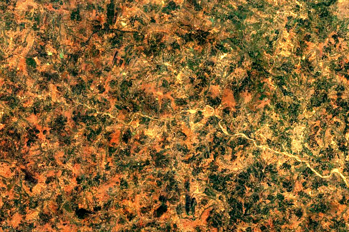
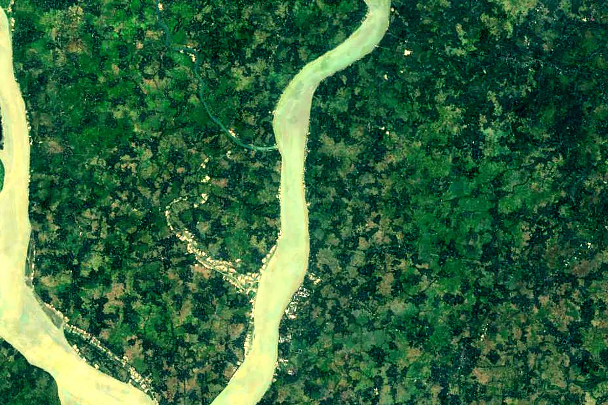
Sentinel-2 cloudless 2016 by EOX IT Services GmbH (contains modified Copernicus Sentinel data 2016), CC BY 4.0. The glowing line is the river as drawn by RiverATLAS.
Photos
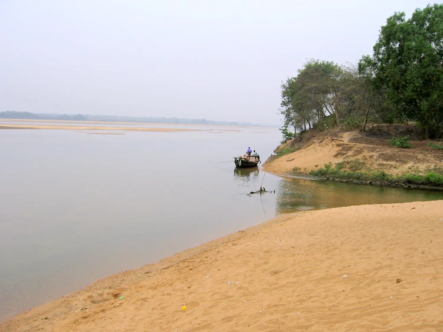
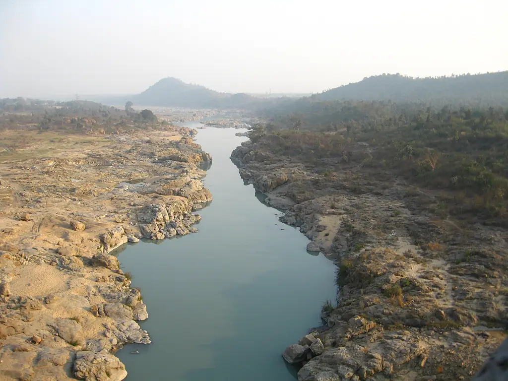
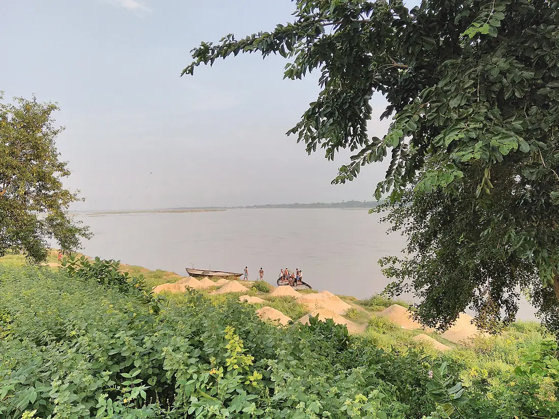
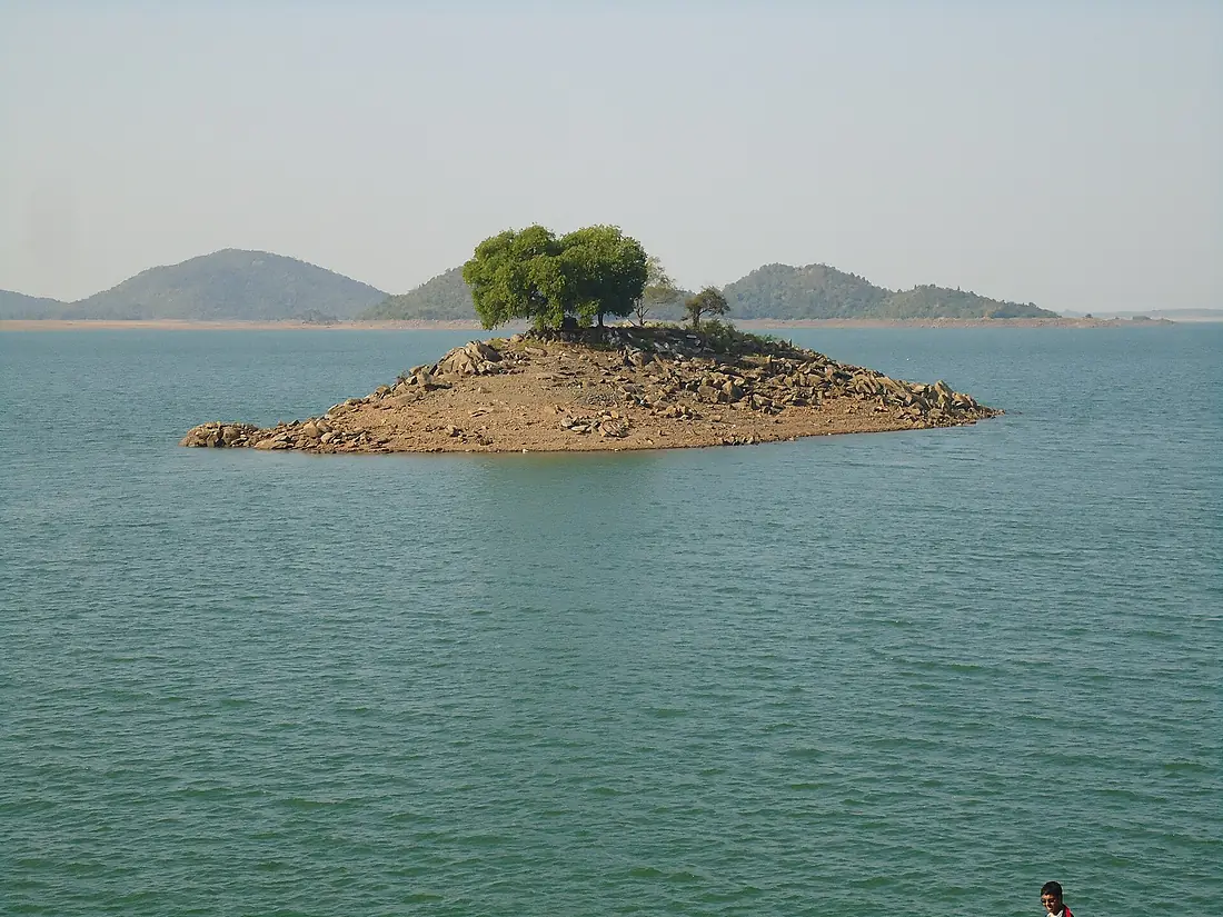
Damodar River in pictures
Tributaries
Where it flows, and what flows into it
Tributaries (4)
Also: Barakar River, Konar River, Jamunia River, Sali River
Nearby
Rivers nearby
India470 km310 m³/s116 km awayGangesIndia2,525 km12,000 m³/s278 km awayJamuna River Bangladesh245 km20,100 m³/s236 km awayMahanadiIndia860 km2,100 m³/s267 km awayPadma RiverBangladesh120 km32,000 m³/s278 km awayMahananda RiverIndia360 km390 m³/s240 km awayKosi RiverIndia729 km2,300 m³/s354 km awayTeesta RiverBangladesh470 km1,300 m³/s385 km away
Where these numbers come from
| Name, length, places | Wikidata (Q1971511) · CC0 |
|---|---|
| Course, profile, basin | RiverATLAS v1.0 (HydroATLAS, Linke et al. 2019) · CC BY 4.0 — followed along the river network from the point given by Wikidata |
| Flow | WaterGAP (RiverATLAS), 1971–2000 · CC BY 4.0 |
| Climate along the river | WorldClim (RiverATLAS), 1970–2000 · CC BY 4.0 |
| Towns, bridges, dams | Wikidata · CC0; GeoNames · CC BY 4.0 |
| Along the river | © OpenStreetMap contributors · ODbL |
| Images | EOX Sentinel-2 cloudless 2016 · CC BY 4.0; Wikimedia Commons |
| Our other atlases | Peakyas — Wikidata · CC0; © OpenStreetMap contributors · ODbL; GeoNames · CC BY 4.0; HydroLAKES · CC BY 4.0; NOAA OISST |
Every source and licence is on the data sources page.
The family
Do you prefer beaches, lakes, mountains, waterfalls, islands, rivers or canyons?
Same idea, other landscapes: field atlases built on open data, month by month, in seven languages.
 beaches
 Find your beach: sea temperature, sun and swimming month by month.Visit
  lakes
lakes Every lake on Earth: water temperature, ice, depth and the shore.Coming soonVisit mountains
 Every summit in 3D: summit weather, the 0 °C line, huts and trails.Visit
  waterfalls
 Every waterfall: height, flow month by month and when it roars.Coming soonVisit
  islands
 Every island from the sea up: size, sea temperature, ferries and 3D.Coming soonVisit
  rivers
 Every river from source to sea: the journey, the flow and the basin in numbers.You are here
 canyons
 Every canyon cut to scale: depth to the floor, rim and floor temperatures, trails and viewpoints.Coming soonVisit