River
Hudson River
492 km from source to mouth · United States.
 United StatesFlows into Upper New York Bay
In numbers
Length
492km
Average flow
210m³/s
Basin
34,600km²
Drop
570m
from 526 m to -44 m
Country
1
The journey
From source to mouth
492 km of river and 68 stops on the way: 34 towns and cities on its banks, dams, bridges and the tributaries that feed it.
- 0 kmSourceat 526 m
- 6 kmBeaver Flow0.3 km²
- 6 kmPerch Pond0.5 km²
- 17 kmHarris Lake1.1 km²
- 21 kmOrd Falls
- 25 kmGoodnow Flowage1.5 km²
- 30 kmSplit Rock Pond0.4 km²
- 40 kmMink Pond0.5 km²
- 99 kmSchroon Rivertributary
- 120 kmGreat Sacandaga Lake98 km²
- 122 kmLake Luzerne0.4 km²
- 128 kmSacandaga Rivertributary
- 140 kmSpier Falls
- 141 kmMoreau Lake0.5 km²
- 164 kmBakers Falls
- 187 kmBatten Killtributary
- 209 kmHoosic Rivertributary
- 232 kmMohawk Rivertributary
- 236 kmTroy51,401 people
- 237 kmWatervliet10,375 people
- 237 kmPoesten Killtributary
- 246 kmRensselaer9,210 people
- 247 kmAlbany99,224 people
- 290 kmSleepy Hollow Lake1.0 km²
- 293 kmHudson5,894 people
- 318 kmEsopus Creektributary
- 324 kmSaw Killtributary
- 335 kmRondout Creektributary
- 359 kmMaritje Killtributary
- 360 kmPoughkeepsie31,577 people
- 372 kmCasperkilltributary
- 374 kmWappinger Creektributary
- 380 kmSprout Creektributary
- 385 kmNewburgh28,856 people
- 386 kmQuassaick Creektributary
- 388 kmFishkill Creektributary
- 390 kmMoodna Creektributary
- 412 kmPeekskill25,431 people
- 412 kmCortlandt42,545 people
- 417 kmStony Point14,813 people
- 430 kmCroton Rivertributary
- 431 kmBriarcliff Manor7,569 people
- 434 kmSaw Mill Rivertributary
- 437 kmNyack7,265 people
- 438 kmPocantico Rivertributary
- 443 kmSparkill Creektributary
- 455 kmYonkers201,116 people
- 461 kmKings Bridge75,132 people
- 463 kmThe Bronx1,472,654 people
- 464 kmMorris Heights40,982 people
- 464 kmWashington Heights152,613 people
- 465 kmGeorge Washington Bridge
- 466 kmFort Lee40,191 people
- 470 kmHarlem116,345 people
- 470 kmMorningside Heights55,929 people
- 470 kmEast Harlem115,921 people
- 472 kmNorth Bergen63,484 people
- 472 kmUpper West Side226,989 people
- 474 kmWest New York53,366 people
- 475 kmUnion City69,156 people
- 475 kmHell's Kitchen45,884 people
- 476 kmWeehawken17,197 people
- 478 kmHoboken60,419 people
- 479 kmNew York City8,804,190 people
- 479 kmManhattan1,694,251 people
- 479 kmJersey City292,449 people
- 479 kmChinatown90,000 people
- 479 kmEast Village62,832 people
- 479 kmFinancial District60,976 people
- 492 kmUpper New York Bayat -44 m
Water level along the river (RiverATLAS; the height is exaggerated). Towns: GeoNames and Wikidata; bridges, dams and tributaries: Wikidata.
River in New York State, United States
At the mouth it carries 210 m³/s on average: an Olympic pool every 12 seconds. It drops from 526 m to -44 m, 1.2 m per kilometre on average. Its basin covers 34,600 km², about the size of MD. 3.9 million people live in it. Highest water: from April to May; lowest: from January to February. Dams and reservoirs hold back a large share of its water (15% of a year's flow).
Where to start
- New York CityLargest city on its banks · 8,804,190 people
- LaGuardia Airport (LGA)Nearest airport with scheduled flights, 13 km from the cityCar hire at LGA airport (New York)Discover Cars · Affiliate link↗
- On the water202 ferry piers, marinas, boat rentals and boat ramps along the river (OpenStreetMap)
- Kayak and canoe17 put-ins and rapids mapped (OpenStreetMap)
- From May to SeptemberThe best months to visit
Hudson River, month by month
Highest water: from April to May
Lowest water: from January to February. Freezing months (average below −4 °C): January. Best months to visit: from May to September.
From about 420 m³/s in the lowest month to 1,800 m³/s in the highest. An estimate: the monthly flow is modelled from the lowest and highest months of WaterGAP (RiverATLAS, 1971–2000) and the rain and snow along the river (WorldClim). Dams change the real rhythm. The chip is the average air temperature; below it, the month's rain.
Plan the trip
Plan the trip: boat trips, a bed by the river, a car
Some links above are affiliate links: if you book through them we may earn a commission, at no extra cost to you. It never changes what the data on this page says.
The basin
Hudson River: the basin in numbers
34,791 km² of land send their water to this river. This is what lives on it.
- 3.9millionpeople live in the basin
- 118/km²people per km²
- 330maverage altitude of the basin
- 1,118mmof rain a year (basin average)
- 7.2°Caverage air temperature
- 16%protected areas
- 1.5%covered by lakes
- 3.5km³held in reservoirs
What covers the basin
- 90% Forest
- 9% Cropland
- 3% Pasture
- 6% Towns and cities
RiverATLAS (HydroATLAS v1.0, CC BY 4.0): land cover, people, protected areas, glaciers and dams over the whole basin upstream of the mouth.
Along the river
Hudson River: what you find on the way
- 39WeirsWarrensburg Dam, Lake Luzerne Dam, Victory Mills Dam and 36 more
- 84LocksChamplain Canal, Lock C7, Crocker’s Reef Guard Gate and 81 more
- 86WaterfallsOK Slip Falls, Dunkley Falls, Bear Slide and 83 more
- 3RapidsMouse Rapids, Perry Ehlers Rapids
- 14Canoe put-insWarren County Canoe Access Site, Access 7 and 12 more
- 127Boat rampsWayside Beach Boat Launch, Spier Falls Upstream Launch, Sherman Island Boat Launch and 124 more
- 15Ferry piersAthens, Hudson, Beacon and 12 more
- 45MarinasUpper Hudson River Boat Launch, Fort Edward Yacht Basin, Schuyler Yacht Basin and 42 more
- 33River beachesGrunblatt Memorial Beach, Morey Stein Beach, Wayside Beach and 30 more
From OpenStreetMap, within 2.1 km of the river. Not mapped is not the same as not there.
Cross-checked with our atlases
Hudson River in our other atlases
What our sister atlases know about the waterfalls on this river, the lakes it flows through, the beaches at its mouth, the mountains where it rises and the islands off its mouth.
 3waterfalls on the riverCascadyas
 10lakes on its wayLakeyas
 12beaches at the mouth and on the banksCoastya
 84mountains at the sourcePeakyas
 28islands off the mouthIslandyas
Waterfalls (3)
On the river, by Cascadyas
- Ord Fallskm 21
- Spier Fallskm 137
- Bakers Fallskm 160
Cascadyas is coming soonOpen Cascadyas ↗
Lakes and reservoirs (10)
Lakes it flows through, by Lakeyas
- Beaver Flowkm 60.3km²
- Perch Pondkm 60.5km²
- Harris Lakekm 171.1km²
- Goodnow Flowagekm 241.5km²
- Great Sacandaga Lakekm 11898km²
- Lake Luzernekm 1190.4km²
- Moreau Lakekm 1390.5km²
- Sleepy Hollow Lakekm 2841.0km²
2 more on LakeyasLakeyas is coming soonOpen Lakeyas ↗
Beaches (12)
At the mouth (25 km) and on the banks, by Coastya
- Buono Beach14 km away23.1°C
- Orchard Beach24 km away23.1°C
- Hazard Beachkm 45623.1°C
- Bloomer Beachkm 45223.1°C
- Undercliff Beachkm 45223.1°C
- Midland Beach18 km away23.1°C
- New Dorp Beach21 km away23.1°C
- Oakwood Beach22 km away23.1°C
4 more on CoastyaOpen Coastya ↗
Mountains at the source (84)
Within 15 km of the source, by Peakyas
- Mount Marcy1.2 km away · prominence 1,498 m1,629m
- Algonquin Peak5.8 km away · prominence 640 m1,559m
- Mount Haystack2.8 km away · prominence 256 m1,512m
- Mount Skylight0.9 km away · prominence 176 m1,501m
- Dix Mountain12 km away · prominence 863 m1,475m
- Iroquois Peak6.0 km away · prominence 46 m1,476m
- Mount Colden3.0 km away · prominence 267 m1,437m
- Gothics6.7 km away · prominence 213 m1,443m
76 more on PeakyasOpen Peakyas ↗
Islands off the mouth (28)
Within 30 km of the mouth, by Islandyas
- Manhattan7.6 km away59km²
- Staten Island20 km away140km²
- Ellis Island4.5 km away0.1km²
- Liberty Island5.6 km away0.1km²
- Rikers Island13 km away1.7km²
- Governors Island5.1 km away0.7km²
- U Thant Island4.4 km away0.0km²
- Hart Island24 km away0.5km²
20 more on IslandyasIslandyas is coming soonOpen Islandyas ↗
From space
The source and the mouth, seen from orbit
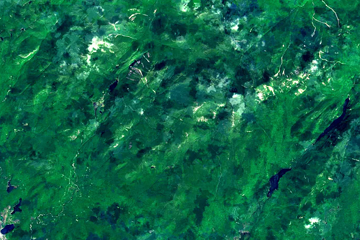
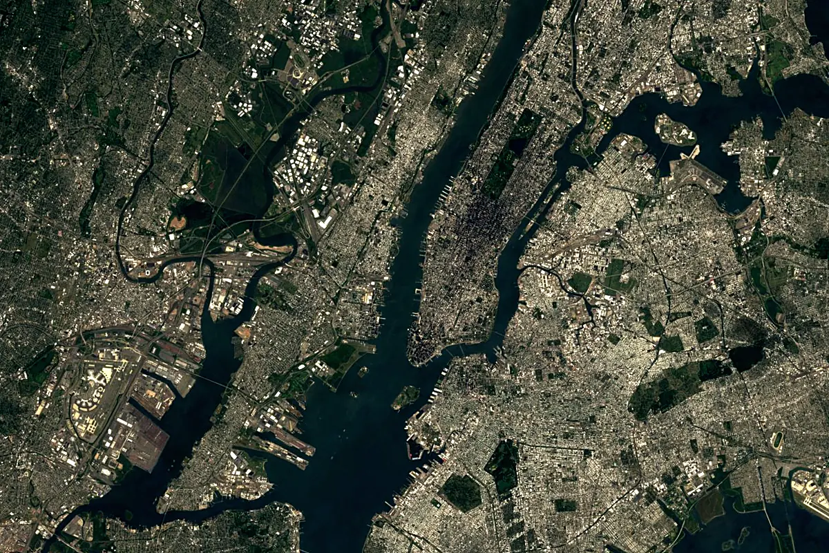
Sentinel-2 cloudless 2016 by EOX IT Services GmbH (contains modified Copernicus Sentinel data 2016), CC BY 4.0. The glowing line is the river as drawn by RiverATLAS.
Photos
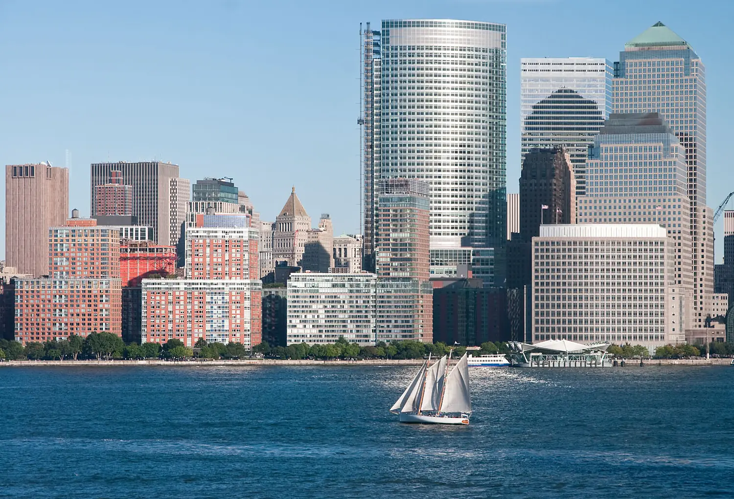
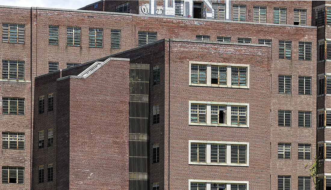
Hudson River in pictures

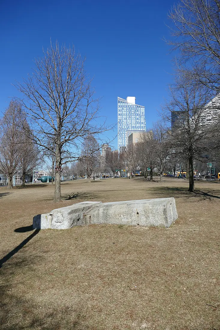
Tributaries
Where it flows, and what flows into it
Tributaries (96)
Also: Hoosic River, Rondout Creek, Croton River, Esopus Creek, Fishkill Creek, Batten Kill, Cross River, East Branch Croton River, Normans Kill, Papakating Creek, Saw Mill River, Schroon River, Middle Branch Croton River, West Branch Croton River, Casperkill, Catskill Creek, Cedar River, Coeymans Creek, Moodna Creek, Poesten Kill, Quassaick Creek, Sacandaga River, Saw Kill, Sparkill Creek
Nearby
Rivers nearby
United States660 km520 m³/s154 km awayDelaware RiverUnited States579 km220 m³/s171 km awaySusquehanna RiverUnited States715 km1,100 m³/s219 km awayMohawk RiverUnited States240 km220 m³/s227 km awayCharles RiverUnited States129 km9.0 m³/s307 km awayRappahannock RiverUnited States296 km47 m³/s331 km awayMerrimack RiverUnited States177 km210 m³/s353 km awayShenandoah RiverUnited States241 km85 m³/s353 km awayWhere these numbers come from
| Name, length, places | Wikidata (Q3140) · CC0 |
|---|---|
| Course, profile, basin | RiverATLAS v1.0 (HydroATLAS, Linke et al. 2019) · CC BY 4.0 — followed from the source to the mouth given by Wikidata |
| Flow | WaterGAP (RiverATLAS), 1971–2000 · CC BY 4.0 |
| Climate along the river | WorldClim (RiverATLAS), 1970–2000 · CC BY 4.0 |
| Towns, bridges, dams | Wikidata · CC0; GeoNames · CC BY 4.0 |
| Along the river | © OpenStreetMap contributors · ODbL |
| Images | EOX Sentinel-2 cloudless 2016 · CC BY 4.0; Wikimedia Commons |
| Our other atlases | Cascadyas, Lakeyas, Coastya, Peakyas, Islandyas — Wikidata · CC0; © OpenStreetMap contributors · ODbL; GeoNames · CC BY 4.0; HydroLAKES · CC BY 4.0; NOAA OISST |
Every source and licence is on the data sources page.
The family
Do you prefer beaches, lakes, mountains, waterfalls, islands, rivers or canyons?
Same idea, other landscapes: field atlases built on open data, month by month, in seven languages.
beaches Find your beach: sea temperature, sun and swimming month by month.Visit lakes
 Every lake on Earth: water temperature, ice, depth and the shore.Coming soonVisit mountains
 Every summit in 3D: summit weather, the 0 °C line, huts and trails.Visit waterfalls
 Every waterfall: height, flow month by month and when it roars.Coming soonVisit islands
 Every island from the sea up: size, sea temperature, ferries and 3D.Coming soonVisit
  rivers
 Every river from source to sea: the journey, the flow and the basin in numbers.You are here
 canyons
 Every canyon cut to scale: depth to the floor, rim and floor temperatures, trails and viewpoints.Coming soonVisit