River
Charles River
129 km from source to mouth · United States.
 United StatesFlows into Boston Harbor
In numbers
Length
129km
Average flow
9.0m³/s
Basin
798km²
Drop
59m
from 59 m to 0 m
Country
1
The journey
From source to mouth
129 km of river and 68 stops on the way: 41 towns and cities on its banks, dams, bridges and the tributaries that feed it.
- 0 kmSourceat 59 m
- 4 kmMedway13,042 people
- 11 kmMillis-Clicquot4,403 people
- 14 kmMedfield6,483 people
- 20 kmFarm Pond0.5 km²
- 27 kmMorses Pond0.4 km²
- 31 kmDover2,265 people
- 40 kmOak Hill Park7,008 people
- 42 kmNeedham Street Bridge
- 43 kmCharles River Branch Bridge over Charles River
- 43 kmNewton Upper Falls7,579 people
- 44 kmEcho Bridge
- 46 kmNewton Lower Falls1,246 people
- 50 kmAuburndale6,928 people
- 51 kmWest Newton9,347 people
- 53 kmWaltham63,378 people
- 56 kmNewtonville11,251 people
- 56 kmBemis7,472 people
- 57 kmNonantum9,600 people
- 57 kmNewton Corner5,042 people
- 58 kmWatertown Bridge
- 58 kmWatertown31,915 people
- 58 kmWatertown Square5,331 people
- 60 kmFaneuil2,590 people
- 61 kmNorth Beacon Street Bridge
- 61 kmBrighton45,977 people
- 61 kmChestnut Hill Reservoir0.3 km²
- 62 kmAberdeen3,575 people
- 62 kmAllston/Brighton4,185 people
- 62 kmArsenal Street Bridge
- 63 kmNorth Brighton6,531 people
- 63 kmFresh Pond (Cambridge, Massachusetts)0.6 km²
- 63 kmEliot Bridge
- 64 kmWest Cambridge/Harvard Square8,023 people
- 64 kmAnderson Memorial Bridge
- 64 kmGreat Bridge
- 64 kmLower Allston6,570 people
- 64 kmJohn W. Weeks Bridge
- 64 kmCambridge118,403 people
- 65 kmMid-Cambridge12,988 people
- 65 kmWestern Avenue Bridge
- 65 kmAllston28,821 people
- 65 kmRiver Street Bridge
- 66 kmCoolidge Corner5,197 people
- 66 kmBoston University Bridge
- 66 kmGrand Junction Railroad Bridge
- 66 kmMission Hill18,722 people
- 67 kmCambridgeport13,438 people
- 67 kmFenway/Kenmore37,733 people
- 67 kmWest Fens6,548 people
- 68 kmBack Bay17,577 people
- 68 kmHarvard Bridge
- 69 kmKendall Square9,861 people
- 70 kmLongfellow Bridge
- 70 kmBeacon Hill9,305 people
- 70 kmEast Cambridge13,122 people
- 70 kmCharles River Dam Bridge
- 70 kmLechmere Viaduct
- 71 kmDraw One
- 71 kmLeverett Circle Connector Bridge
- 71 kmLeonard P. Zakim Bunker Hill Memorial Bridge
- 71 kmCharlestown High Bridge
- 71 kmCharlestown Bridge
- 71 kmVA Boston Healthcare System, Brockton Campus5,474 people
- 71 kmBoston675,647 people
- 72 kmNorth End10,131 people
- 72 kmCharlestown20,397 people
- 73 kmEast Boston43,066 people
- 73 kmJeffries Point8,823 people
- 73 kmBoston Harborat 0 m
Water level along the river (RiverATLAS; the height is exaggerated). Towns: GeoNames and Wikidata; bridges, dams and tributaries: Wikidata.
River in Massachusetts, United States
At the mouth it carries 9.0 m³/s on average: an Olympic pool every 278 seconds. It drops from 59 m to 0 m, 0.5 m per kilometre on average. Its basin covers 798 km².
Where to start
- BostonLargest city on its banks · 675,647 people
- Boston Logan International Airport (BOS)Nearest airport with scheduled flights, 4 km from the cityCar hire at BOS airport (Boston)Discover Cars · Affiliate link↗
- On the water58 ferry piers, marinas, boat rentals and boat ramps along the river (OpenStreetMap)
- Kayak and canoe1 put-ins and rapids mapped (OpenStreetMap)
Plan the trip
Plan the trip: boat trips, a bed by the river, a car
Some links above are affiliate links: if you book through them we may earn a commission, at no extra cost to you. It never changes what the data on this page says.
Along the river
Charles River: what you find on the way
- 14WeirsCochrane Dam, Silk Mill Dam, Hemlock Gorge Spillway Dike and 11 more
- 11Locks
- 1Canoe put-ins
- 21Boat rampsWoerd Avenue Boat Launch, Duck Boat Ramp and 19 more
- 13Ferry piersLovejoy Wharf Ferry Terminal, Rowes Wharf Ferry Terminal, Courthouse Dock and 10 more
- 20MarinasNewton Yacht Club, Watertown Yacht Club, Richard J. Resch Boathouse and 17 more
From OpenStreetMap, within 1.2 km of the river. Not mapped is not the same as not there.
Cross-checked with our atlases
Charles River in our other atlases
What our sister atlases know about the waterfalls on this river, the lakes it flows through, the beaches at its mouth, the mountains where it rises and the islands off its mouth.
 4lakes on its wayLakeyas
 43beaches at the mouth and on the banksCoastya
 72mountains at the sourcePeakyas
 26islands off the mouthIslandyas
Lakes and reservoirs (4)
Lakes it flows through, by Lakeyas
- Farm Pondkm 200.5km²
- Morses Pondkm 270.4km²
- Chestnut Hill Reservoirkm 610.3km²
- Fresh Pond (Cambridge, Massachusetts)km 630.6km²
Lakeyas is coming soonOpen Lakeyas ↗
Beaches (43)
At the mouth (25 km) and on the banks, by Coastya
- Savin Hill Beach7.2 km away18.8°C
- Yirrell Beach6.5 km away18.8°C
- Revere Beach7.9 km away18.8°C
- Wollaston Beach11 km away18.8°C
- Winthrop Beach6.4 km away18.8°C
- Magazine Beachkm 6618.8°C
- Carson Beach5.3 km away18.8°C
- Harvey Beach13 km away18.8°C
35 more on CoastyaOpen Coastya ↗
Mountains at the source (72)
Within 15 km of the source, by Peakyas
- Cedar Hill15 km away132m
- Keith Hill14 km away158m
- Walnut Hill14 km away133m
- Bad Lands14 km away
- Bald Hill6.2 km away
- Ballard Hill10 km away
- Banner Hill8.7 km away
- Bare Hill11 km away
64 more on PeakyasOpen Peakyas ↗
Islands off the mouth (26)
Within 30 km of the mouth, by Islandyas
- Moon Island8.8 km away0.2km²
- Georges Island11 km away0.2km²
- Winter Island23 km away
- Nixes Mate9.7 km away
- Long Island8.8 km away0.9km²
- Peddocks Island13 km away0.9km²
- Thompson Island7.1 km away0.7km²
- Lovells Island11 km away0.5km²
18 more on IslandyasIslandyas is coming soonOpen Islandyas ↗
From space
The source and the mouth, seen from orbit
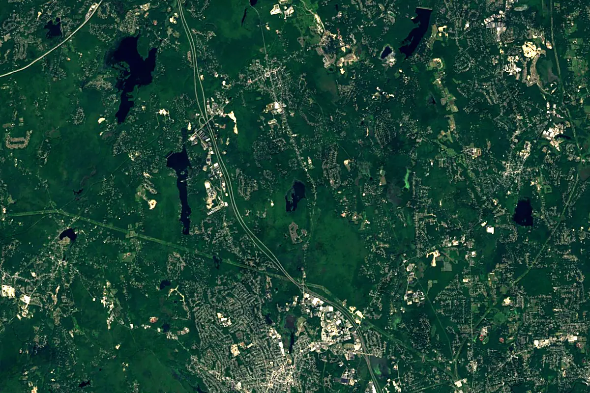
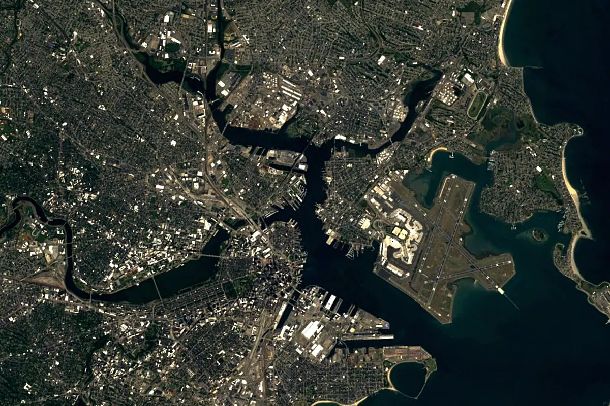
Sentinel-2 cloudless 2016 by EOX IT Services GmbH (contains modified Copernicus Sentinel data 2016), CC BY 4.0. The glowing line is the river as drawn by RiverATLAS.
Photos
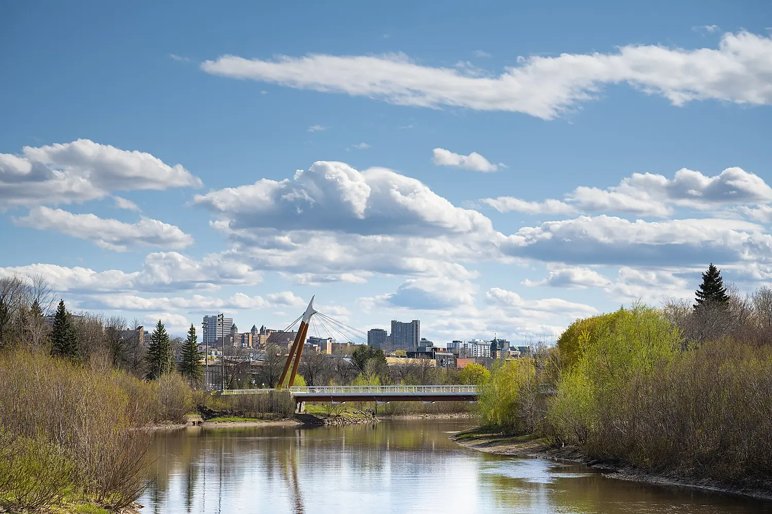
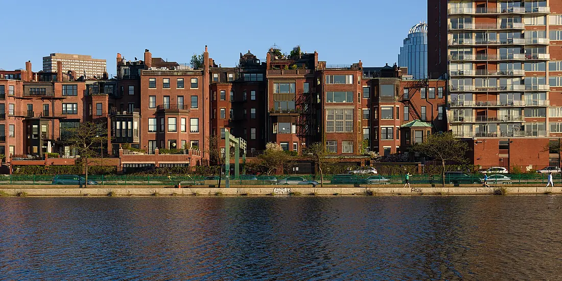
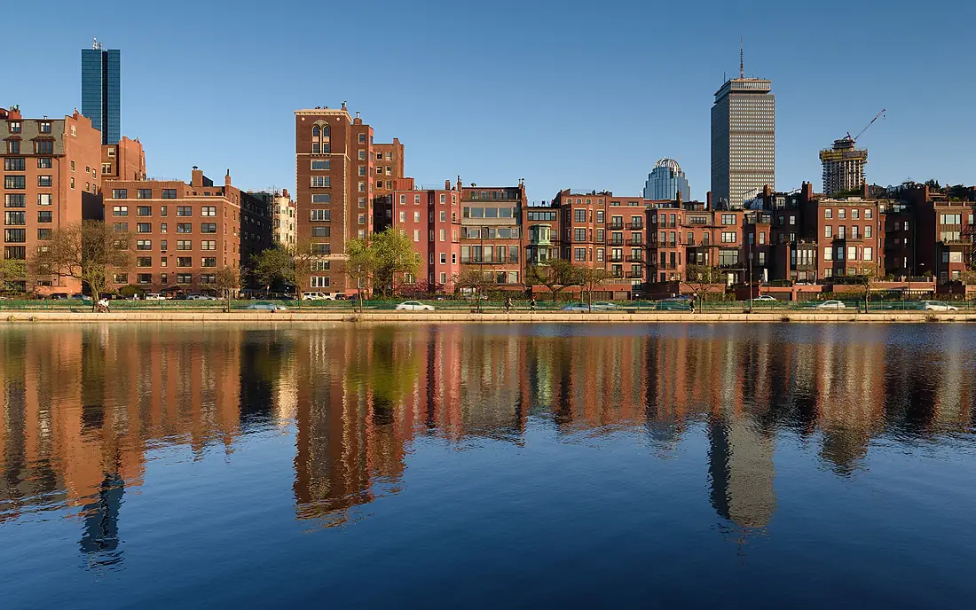
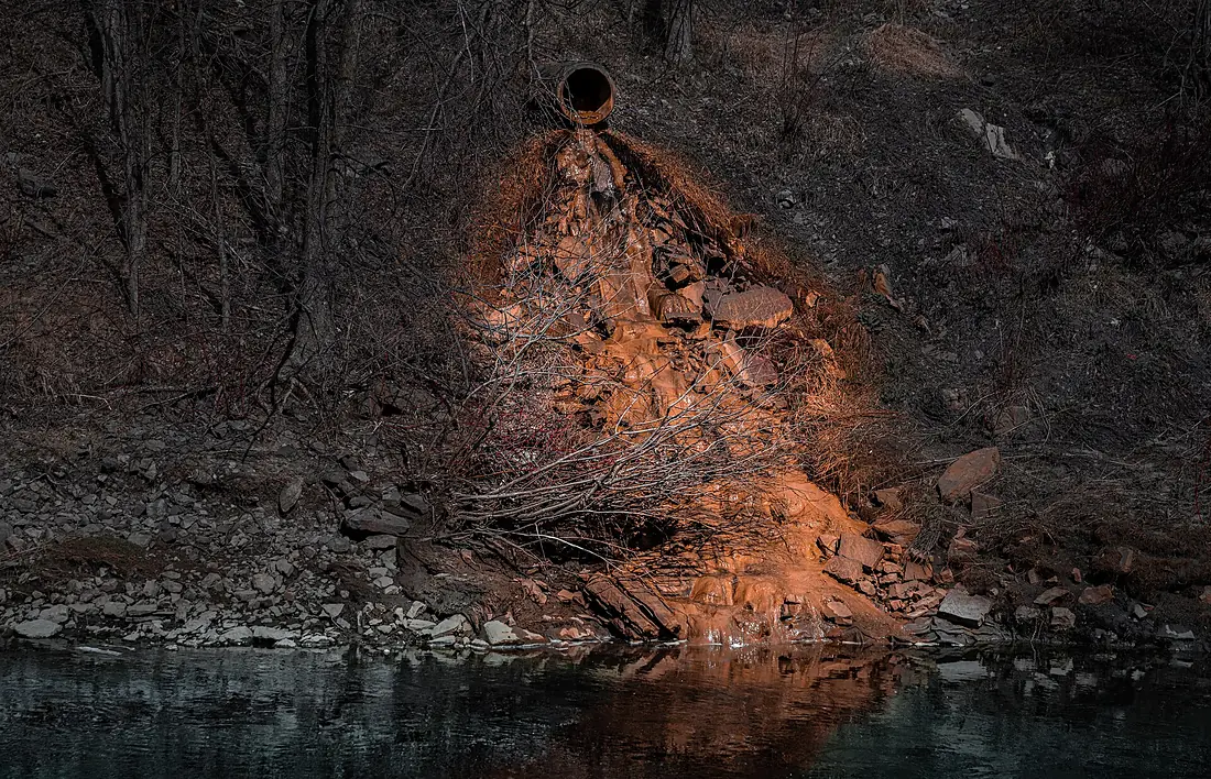
Charles River in pictures
Tributaries
Where it flows, and what flows into it
Tributaries (2)
Also: Stop River, Millers River
Nearby
Rivers nearby
United States177 km210 m³/s54 km awayConnecticut RiverUnited States660 km520 m³/s160 km awayMohawk RiverUnited States240 km220 m³/s221 km awayHudson RiverUnited States492 km210 m³/s307 km awayPenobscot RiverUnited States563 km1,000 m³/s304 km awayDelaware RiverUnited States579 km220 m³/s478 km awayWhere these numbers come from
| Name, length, places | Wikidata (Q794927) · CC0 |
|---|---|
| Course, profile, basin | RiverATLAS v1.0 (HydroATLAS, Linke et al. 2019) · CC BY 4.0 — followed from the source to the mouth given by Wikidata |
| Flow | WaterGAP (RiverATLAS), 1971–2000 · CC BY 4.0 |
| Climate along the river | WorldClim (RiverATLAS), 1970–2000 · CC BY 4.0 |
| Towns, bridges, dams | Wikidata · CC0; GeoNames · CC BY 4.0 |
| Along the river | © OpenStreetMap contributors · ODbL |
| Images | EOX Sentinel-2 cloudless 2016 · CC BY 4.0; Wikimedia Commons |
| Our other atlases | Lakeyas, Coastya, Peakyas, Islandyas — Wikidata · CC0; © OpenStreetMap contributors · ODbL; GeoNames · CC BY 4.0; HydroLAKES · CC BY 4.0; NOAA OISST |
Every source and licence is on the data sources page.
The family
Do you prefer beaches, lakes, mountains, waterfalls, islands, rivers or canyons?
Same idea, other landscapes: field atlases built on open data, month by month, in seven languages.
beaches Find your beach: sea temperature, sun and swimming month by month.Visit lakes
 Every lake on Earth: water temperature, ice, depth and the shore.Coming soonVisit mountains
 Every summit in 3D: summit weather, the 0 °C line, huts and trails.Visit
  waterfalls
 Every waterfall: height, flow month by month and when it roars.Coming soonVisit islands
 Every island from the sea up: size, sea temperature, ferries and 3D.Coming soonVisit
  rivers
 Every river from source to sea: the journey, the flow and the basin in numbers.You are here
 canyons
 Every canyon cut to scale: depth to the floor, rim and floor temperatures, trails and viewpoints.Coming soonVisit