River
Indre River
280 km from source to mouth · France.
 FranceFlows into Loire
In numbers
Length
280km
Average flow
19m³/s
Basin
3,462km²
Drop
207m
from 235 m to 28 m
Country
1
The journey
From source to mouth
280 km of river and 42 stops on the way: 39 towns and cities on its banks, dams, bridges and the tributaries that feed it.
- 0 kmSaint-Priest-la-Marcheat 235 m
- 0 kmPérassay416 people
- 0 kmSaint-Priest-la-Marche237 people
- 46 kmÉtang de la Chelouse0.7 km²
- 106 kmVierzon29,876 people
- 148 kmSelles-sur-Cher4,933 people
- 163 kmSaint-Aignan3,752 people
- 182 kmMontrichard3,745 people
- 197 kmAzay-sur-Indre363 people
- 198 kmBléré4,794 people
- 200 kmReignac-sur-Indre1,288 people
- 205 kmCourçay792 people
- 205 kmCormery1,905 people
- 205 kmTruyes2,442 people
- 213 kmEsvres6,294 people
- 213 kmMontlouis-sur-Loire10,137 people
- 214 kmVéretz3,227 people
- 218 kmLa Ville-aux-Dames4,925 people
- 219 kmSaint-Pierre-des-Corps15,284 people
- 220 kmSaint-Avertin16,007 people
- 220 kmVeigné6,865 people
- 222 kmMontbazon4,874 people
- 222 kmTours141,621 people
- 225 kmLa Riche8,934 people
- 225 kmSaint-Cyr-sur-Loire17,337 people
- 225 kmJoué-lès-Tours37,466 people
- 229 kmIndre Viaduct
- 229 kmViaduc de l'Indre
- 230 kmBallan-Miré7,398 people
- 231 kmArtannes-sur-Indre2,795 people
- 231 kmMonts8,080 people
- 234 kmLuynes5,045 people
- 236 kmPont-de-Ruan1,214 people
- 239 kmSaché1,403 people
- 244 kmCheillé1,907 people
- 244 kmAzay-le-Rideau3,438 people
- 247 kmLangeais4,034 people
- 248 kmLignières-de-Touraine1,318 people
- 252 kmBréhémont737 people
- 256 kmRivarennes1,000 people
- 258 kmRigny-Ussé512 people
- 264 kmHuismes1,498 people
- 268 kmAvoine2,067 people
- 280 kmLoireat 28 m
Water level along the river (RiverATLAS; the height is exaggerated). Towns: GeoNames and Wikidata; bridges, dams and tributaries: Wikidata.
River in France, tributary of the Loire
At the mouth it carries 19 m³/s on average: an Olympic pool every 134 seconds. It drops from 235 m to 28 m, 0.7 m per kilometre on average. Its basin covers 3,462 km², about the size of CV. 4.0 million people live in it. Highest water: from December to February. Its dams hold back little of its water (3.1% of a year's flow).
Where to start
- ToursLargest city on its banks · 141,621 people
- Tours Val de Loire Airport (TUF)Nearest airport with scheduled flights, 4 km from the cityCar hire in SaumurDiscover Cars · Affiliate link↗
- On the water60 ferry piers, marinas, boat rentals and boat ramps along the river (OpenStreetMap)
- From May to SeptemberThe best months to visit
Indre River, month by month
Highest water: from December to February
Best months to visit: from May to September.
From about 180 m³/s in the lowest month to 840 m³/s in the highest. An estimate: the monthly flow is modelled from the lowest and highest months of WaterGAP (RiverATLAS, 1971–2000) and the rain and snow along the river (WorldClim). Dams change the real rhythm. The chip is the average air temperature; below it, the month's rain.
Plan the trip
Plan the trip: boat trips, a bed by the river, a car
Some links above are affiliate links: if you book through them we may earn a commission, at no extra cost to you. It never changes what the data on this page says.
The basin
Indre River: the basin in numbers
59,951 km² of land send their water to this river. This is what lives on it.
- 4.0millionpeople live in the basin
- 67/km²people per km²
- 397maverage altitude of the basin
- 741mmof rain a year (basin average)
- 10.1°Caverage air temperature
- 11%protected areas
- 0.1%covered by lakes
- 0.5km³held in reservoirs
What covers the basin
- 24% Forest
- 32% Cropland
- 25% Pasture
- 3% Towns and cities
RiverATLAS (HydroATLAS v1.0, CC BY 4.0): land cover, people, protected areas, glaciers and dams over the whole basin upstream of the mouth.
Along the river
Indre River: what you find on the way
- 78WeirsBarrage des Mazelles, Barrage de Savonnières and 76 more
- 73LocksCanal de Berry, Écluse de Noyers, Écluse de Vallagon and 70 more
- 1Waterfalls
- 48Boat rampsCale de Luynes, Port and 46 more
- 2Ferry piersPort of the Château de Montsoreau-Museum of contemporary art, Bateau Amarante
- 1Marinas
- 9River beachesPlage de Villedieu, Plage de Montrichard, Bléré plage and 6 more
From OpenStreetMap, within 2.3 km of the river. Not mapped is not the same as not there.
Cross-checked with our atlases
Indre River in our other atlases
What our sister atlases know about the waterfalls on this river, the lakes it flows through, the beaches at its mouth, the mountains where it rises and the islands off its mouth.
 1lake on its wayLakeyas
Lakes and reservoirs (1)
Lakes it flows through, by Lakeyas
- Étang de la Chelousekm 470.7km²
Lakeyas is coming soonOpen Lakeyas ↗
From space
The source and the mouth, seen from orbit
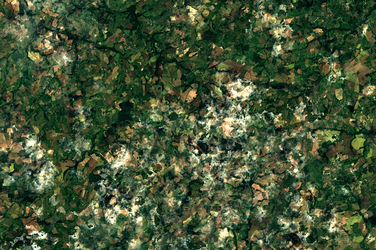
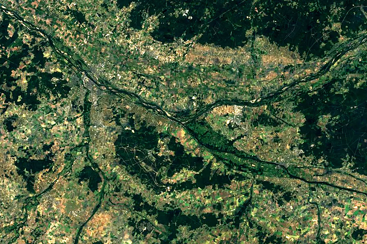
Sentinel-2 cloudless 2016 by EOX IT Services GmbH (contains modified Copernicus Sentinel data 2016), CC BY 4.0. The glowing line is the river as drawn by RiverATLAS.
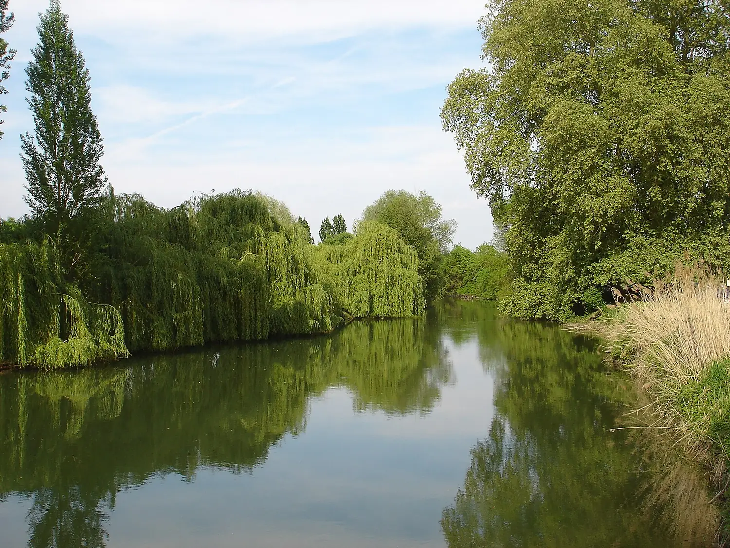
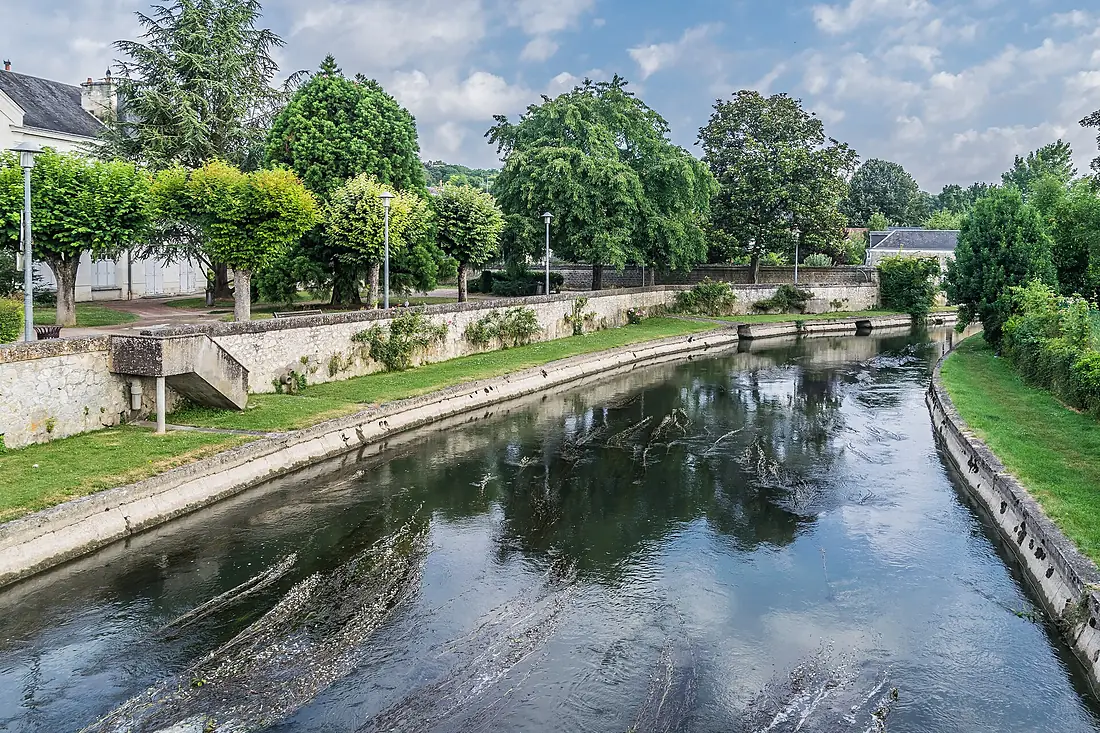
Photos
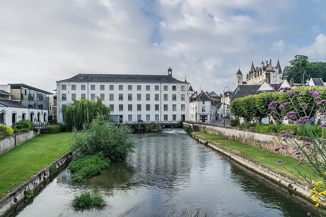
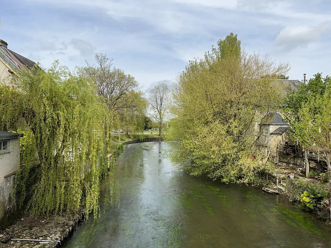
Indre River in pictures
Tributaries
Where it flows, and what flows into it
It flows into
LoireFrance1,006 km840 m³/sTributaries (12)
Also: Indrois, Vauvre, Igneraie, Échandon, Ringoire, Trégonce, Taissonne, Bourdin, Veude, Saint-Branchs, les Palles, Ozance
Where these numbers come from
| Name, length, places | Wikidata (Q217347) · CC0 |
|---|---|
| Course, profile, basin | RiverATLAS v1.0 (HydroATLAS, Linke et al. 2019) · CC BY 4.0 — followed from the source to the mouth given by Wikidata |
| Flow | WaterGAP (RiverATLAS), 1971–2000 · CC BY 4.0 |
| Climate along the river | WorldClim (RiverATLAS), 1970–2000 · CC BY 4.0 |
| Towns, bridges, dams | Wikidata · CC0; GeoNames · CC BY 4.0 |
| Along the river | © OpenStreetMap contributors · ODbL |
| Images | EOX Sentinel-2 cloudless 2016 · CC BY 4.0; Wikimedia Commons |
| Our other atlases | Lakeyas — Wikidata · CC0; © OpenStreetMap contributors · ODbL; GeoNames · CC BY 4.0; HydroLAKES · CC BY 4.0; NOAA OISST |
Every source and licence is on the data sources page.
The family
Do you prefer beaches, lakes, mountains, waterfalls, islands, rivers or canyons?
Same idea, other landscapes: field atlases built on open data, month by month, in seven languages.
 beaches
 Find your beach: sea temperature, sun and swimming month by month.Visit lakes
 Every lake on Earth: water temperature, ice, depth and the shore.Coming soonVisit
  mountains
 Every summit in 3D: summit weather, the 0 °C line, huts and trails.Visit
  waterfalls
 Every waterfall: height, flow month by month and when it roars.Coming soonVisit
  islands
 Every island from the sea up: size, sea temperature, ferries and 3D.Coming soonVisit
  rivers
 Every river from source to sea: the journey, the flow and the basin in numbers.You are here
 canyons
 Every canyon cut to scale: depth to the floor, rim and floor temperatures, trails and viewpoints.Coming soonVisit