River
Loir
317 km from source to mouth · France.
 FranceFlows into Sarthe
In numbers
Length
317km
Average flow
32m³/s
Basin
8,294km²
Drop
140m
from 151 m to 11 m
Country
1
The journey
From source to mouth
317 km of river and 68 stops on the way: 58 towns and cities on its banks, dams, bridges and the tributaries that feed it.
- 0 kmChamprond-en-Gâtineat 151 m
- 0 kmChamprond-en-Gâtine744 people
- 0 kmLe Thieulin423 people
- 0 kmLes Corvées-les-Yys326 people
- 0 kmSaint-Denis-des-Puits150 people
- 0 kmLes Châtelliers-Notre-Dame148 people
- 0 kmMagny664 people
- 0 kmMarchéville507 people
- 3 kmIlliers-Combray3,210 people
- 8 kmSaint-Avit-les-Guespières342 people
- 10 kmCharonville293 people
- 14 kmSaumeray465 people
- 19 kmAlluyes756 people
- 25 kmVallée de Paraytributary
- 26 kmOzannetributary
- 28 kmBonneval4,868 people
- 34 kmSaint-Maur-sur-le-Loir411 people
- 41 kmMoléans433 people
- 45 kmDonnemain-Saint-Mamès654 people
- 46 kmConietributary
- 48 kmMarboué1,108 people
- 53 kmChâteaudun12,830 people
- 54 kmChâteau de Châteaudun
- 73 kmEgvonnetributary
- 76 kmAigretributary
- 79 kmSaint-Jean-Froidmentel505 people
- 85 kmSaint-Hilaire-la-Gravelle652 people
- 88 kmMorée1,077 people
- 90 kmFréteval1,063 people
- 98 kmPezou1,101 people
- 102 kmSaint-Firmin-des-Prés744 people
- 108 kmSaint-Ouen3,041 people
- 109 kmAreines572 people
- 111 kmVendôme15,758 people
- 115 kmNaveil2,442 people
- 120 kmVilliers-sur-Loir1,105 people
- 123 kmBoulontributary
- 123 kmMazangé809 people
- 125 kmThoré-la-Rochette810 people
- 132 kmLunay1,272 people
- 141 kmMontoire-sur-le-Loir3,646 people
- 141 kmSaint-Martin-des-Bois582 people
- 154 kmArtins266 people
- 156 kmSougé484 people
- 168 kmBrayetributary
- 174 kmLa Chartre-sur-le-Loir1,370 people
- 175 kmLhomme933 people
- 179 kmChahaignes664 people
- 182 kmMarçon1,057 people
- 183 kmLac des Varennes0.5 km²
- 188 kmEscotaistributary
- 188 kmDissay-sous-Courcillon966 people
- 199 kmLa Bruère-sur-Loir250 people
- 204 kmVaas1,371 people
- 208 kmAubigné-Racan2,158 people
- 213 kmLa Chapelle-aux-Choux283 people
- 233 kmLuché-Pringé1,535 people
- 239 kmMareil-sur-Loir653 people
- 243 kmClermont-Créans1,293 people
- 249 kmLa Flèche14,947 people
- 263 kmLes Rairies1,041 people
- 268 kmDurtal3,386 people
- 282 kmBaracé636 people
- 287 kmTiercé4,589 people
- 295 kmSeiches-sur-le-Loir2,844 people
- 299 kmCorzé1,991 people
- 312 kmÉcouflant4,749 people
- 313 kmBriollay3,225 people
- 315 kmMaine-et-Loire833,776 people
- 317 kmSartheat 11 m
Water level along the river (RiverATLAS; the height is exaggerated). Towns: GeoNames and Wikidata; bridges, dams and tributaries: Wikidata.
River in France
At the mouth it carries 32 m³/s on average: an Olympic pool every 78 seconds. It drops from 151 m to 11 m, 0.4 m per kilometre on average. Its basin covers 8,294 km², about the size of PR. 341,000 people live in it. Highest water: from December to February. No large dam holds it back: it is one of the world's free-flowing rivers.
Where to start
- Maine-et-LoireLargest city on its banks · 833,776 people
- Nantes Atlantique Airport (NTE)Nearest airport with scheduled flights, 83 km from the cityCar hire at NTE airport (Nantes)Discover Cars · Affiliate link↗
- On the water25 ferry piers, marinas, boat rentals and boat ramps along the river (OpenStreetMap)
- From May to SeptemberThe best months to visit
Loir, month by month
Highest water: from December to February
Best months to visit: from May to September.
From about 17 m³/s in the lowest month to 82 m³/s in the highest. An estimate: the monthly flow is modelled from the lowest and highest months of WaterGAP (RiverATLAS, 1971–2000) and the rain and snow along the river (WorldClim). Dams change the real rhythm. The chip is the average air temperature; below it, the month's rain.
Plan the trip
Plan the trip: boat trips, a bed by the river, a car
Some links above are affiliate links: if you book through them we may earn a commission, at no extra cost to you. It never changes what the data on this page says.
The basin
Loir: the basin in numbers
8,211 km² of land send their water to this river. This is what lives on it.
- 341,000people live in the basin
- 41/km²people per km²
- 126maverage altitude of the basin
- 663mmof rain a year (basin average)
- 10.8°Caverage air temperature
- 3%protected areas
- 0.1%covered by lakes
What covers the basin
- 3% Forest
- 54% Cropland
- 8% Pasture
- 1% Towns and cities
RiverATLAS (HydroATLAS v1.0, CC BY 4.0): land cover, people, protected areas, glaciers and dams over the whole basin upstream of the mouth.
Along the river
Loir: what you find on the way
- 85Weirs
- 18Boat rampsCanoë-Kayak CKCB, Canoë Kayak AEC and 16 more
- 6Ferry piersBac Piétons vélos Prignes - Seiches sur le Loir and 5 more
- 1MarinasBâteaux Électriques
- 3River beachesPlage de la Monnerie, Plage des Sablières
From OpenStreetMap, within 1.7 km of the river. Not mapped is not the same as not there.
Cross-checked with our atlases
Loir in our other atlases
What our sister atlases know about the waterfalls on this river, the lakes it flows through, the beaches at its mouth, the mountains where it rises and the islands off its mouth.
 1lake on its wayLakeyas
Lakes and reservoirs (1)
Lakes it flows through, by Lakeyas
- Lac des Varenneskm 1520.5km²
Lakeyas is coming soonOpen Lakeyas ↗
From space
The source and the mouth, seen from orbit
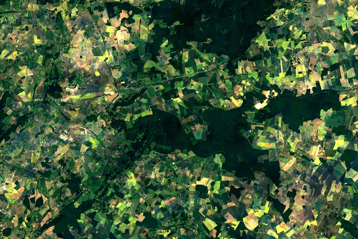
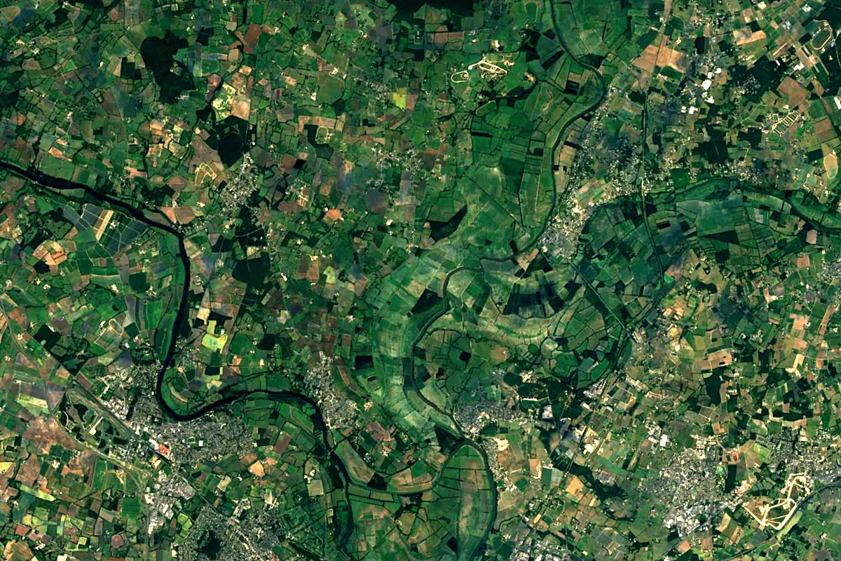
Sentinel-2 cloudless 2016 by EOX IT Services GmbH (contains modified Copernicus Sentinel data 2016), CC BY 4.0. The glowing line is the river as drawn by RiverATLAS.
Photos
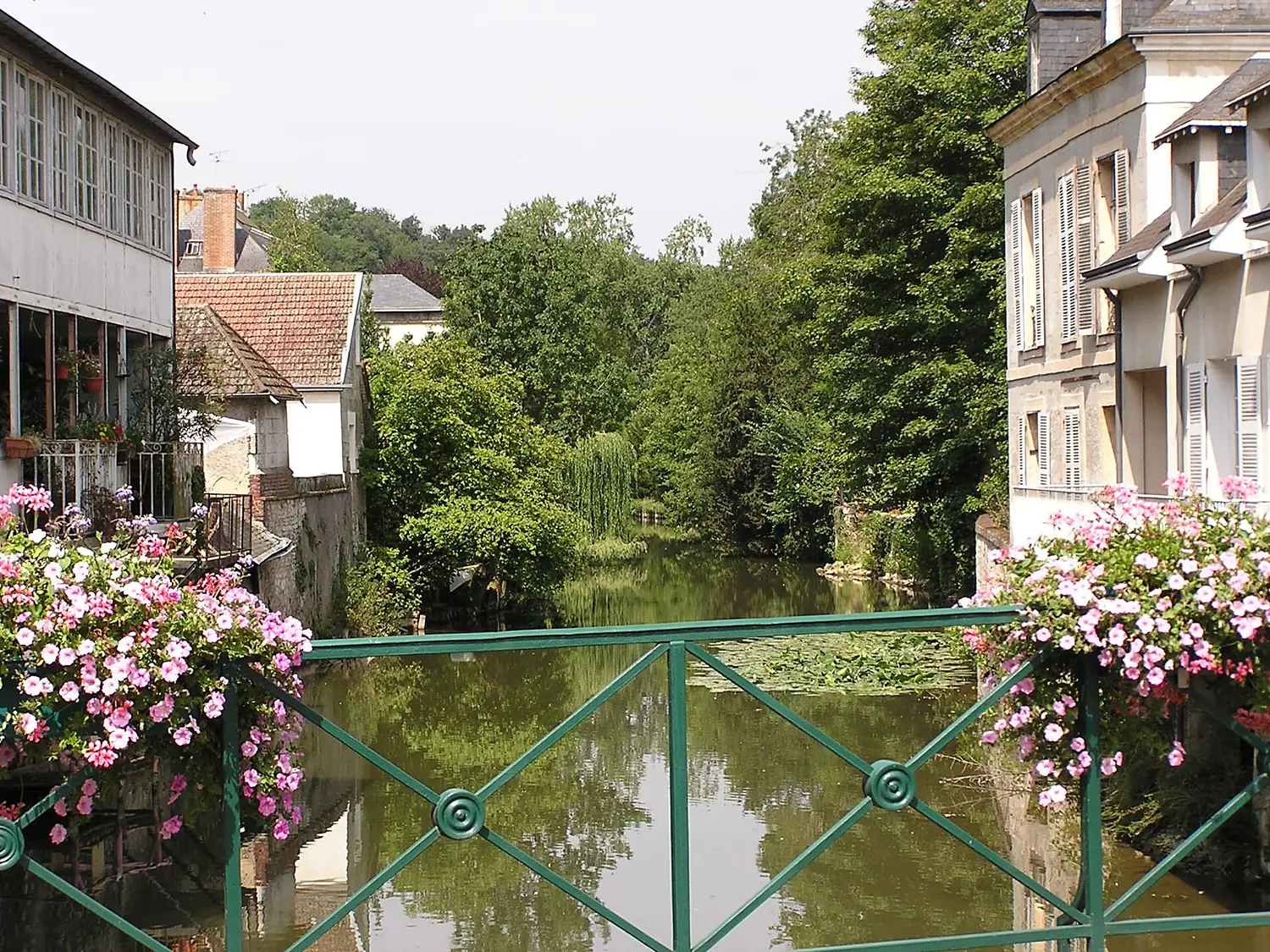
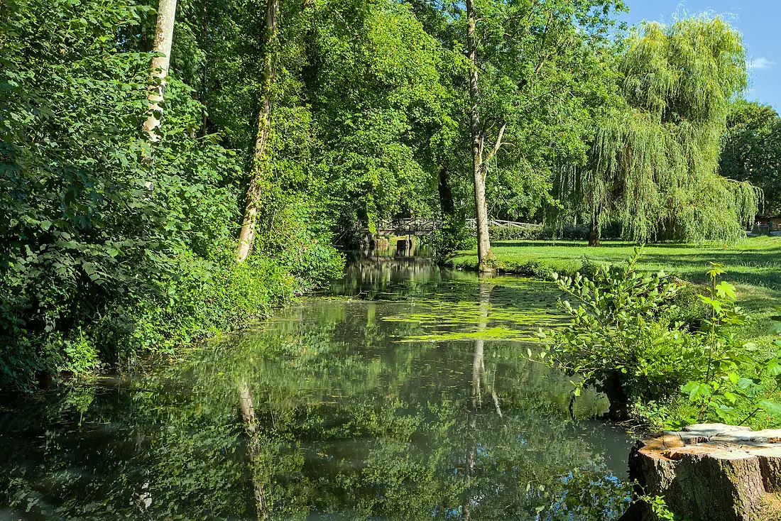
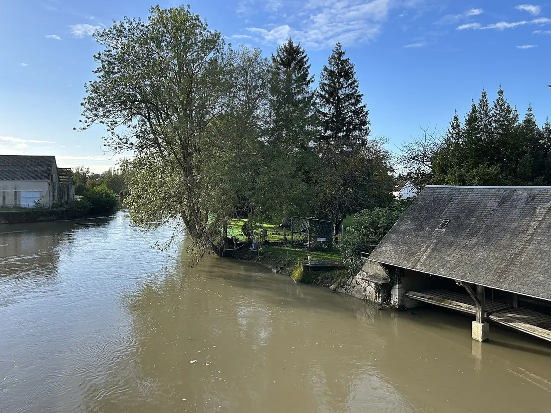
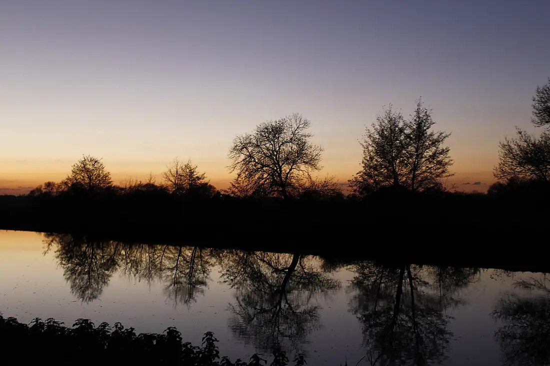
Loir in pictures
Tributaries
Where it flows, and what flows into it
It flows into
SartheFrance314 km82 m³/sTributaries (28)
Also: Braye, Conie, Ozanne, Yerre, Aigre, Dême, Escotais, Aune, Foussarde, Fare, Boulon, Egvonne, Veuve, Brisse, Cendrine, Marconne, Ruisseau des Cartes, Dinan, Ruisseau du Gratte-Loup, Thironne river, Vallée de Paray, Maulne, Houzée, Rodiveau
Nearby
Rivers nearby
France202 km50 m³/s10 km awayVienneFrance372 km210 m³/s60 km awayLoireFrance1,006 km840 m³/s112 km awayIndre RiverFrance280 km19 m³/s60 km awayCherFrance365 km96 m³/s80 km awayCreuseFrance263 km85 m³/s104 km awaySèvre NantaiseFrance142 km9.5 m³/s87 km awayVilaineFrance218 km80 m³/s143 km awayWhere these numbers come from
| Name, length, places | Wikidata (Q376133) · CC0 |
|---|---|
| Course, profile, basin | RiverATLAS v1.0 (HydroATLAS, Linke et al. 2019) · CC BY 4.0 — followed from the source to the mouth given by Wikidata |
| Flow | WaterGAP (RiverATLAS), 1971–2000 · CC BY 4.0 |
| Climate along the river | WorldClim (RiverATLAS), 1970–2000 · CC BY 4.0 |
| Towns, bridges, dams | Wikidata · CC0; GeoNames · CC BY 4.0 |
| Along the river | © OpenStreetMap contributors · ODbL |
| Images | EOX Sentinel-2 cloudless 2016 · CC BY 4.0; Wikimedia Commons |
| Our other atlases | Lakeyas — Wikidata · CC0; © OpenStreetMap contributors · ODbL; GeoNames · CC BY 4.0; HydroLAKES · CC BY 4.0; NOAA OISST |
Every source and licence is on the data sources page.
The family
Do you prefer beaches, lakes, mountains, waterfalls, islands, rivers or canyons?
Same idea, other landscapes: field atlases built on open data, month by month, in seven languages.
 beaches
 Find your beach: sea temperature, sun and swimming month by month.Visit lakes
 Every lake on Earth: water temperature, ice, depth and the shore.Coming soonVisit
  mountains
 Every summit in 3D: summit weather, the 0 °C line, huts and trails.Visit
  waterfalls
 Every waterfall: height, flow month by month and when it roars.Coming soonVisit
  islands
 Every island from the sea up: size, sea temperature, ferries and 3D.Coming soonVisit
  rivers
 Every river from source to sea: the journey, the flow and the basin in numbers.You are here
 canyons
 Every canyon cut to scale: depth to the floor, rim and floor temperatures, trails and viewpoints.Coming soonVisit