River
Oder
854 km from source to mouth · Poland, Germany and Czechia.

 Poland, Germany and CzechiaFlows into Szczecin Lagoon2nd longest in Poland
In numbers
Length
854km
Average flow
480m³/s
Basin
125,000km²
Drop
487m
from 476 m to -11 m
Countries
3
The journey
From source to mouth
854 km of river and 68 stops on the way: 13 towns and cities on its banks, dams, bridges and the tributaries that feed it.
- 0 kmSourceat 476 m
- 31 kmVodopád Zlatého potoka
- 46 kmLuhatributary
- 53 kmWeir Studénka
- 61 kmJičínkatributary
- 64 kmLubinatributary
- 72 kmWeir in Ostrava-Zábřeh
- 74 kmOndřejnicetributary
- 76 kmPorubkatributary
- 76 kmOpavatributary
- 80 kmOstrava283,187 people
- 80 kmZábřežkatributary
- 82 kmOstravicetributary
- 86 kmVrbické jezero0.6 km²
- 89 kmBohumín20,315 people
- 91 kmKališčák0.4 km²
- 97 kmOlzatributary
- 107 kmPsinatributary
- 112 kmRacibórz58,464 people
- 129 kmRudatributary
- 138 kmBierawkatributary
- 146 kmDębowa Lake0.6 km²
- 151 kmKłodnicatributary
- 154 kmJezioro Srebrne0.3 km²
- 164 kmStraduniatributary
- 172 kmOsobłogatributary
- 194 kmKamionka Bolko w Nowej Wsi Królewskiej0.4 km²
- 196 kmOpole127,387 people
- 204 kmMłynówka in Opoletributary
- 207 kmMała Panewtributary
- 226 kmNysa Kłodzkatributary
- 232 kmStobrawatributary
- 281 kmZalew Bajkał0.4 km²
- 292 kmŚródmieście99,088 people
- 296 kmPsie Pole95,615 people
- 296 kmRejon placu Świętego Macieja44,090 people
- 296 kmWrocław673,531 people
- 303 kmŚlęzatributary
- 308 kmWidawatributary
- 310 kmBystrzycatributary
- 346 kmŚredzka Wodatributary
- 346 kmCicha Wodatributary
- 358 kmKaczawatributary
- 376 kmZimnicatributary
- 418 kmKrzycki Rówtributary
- 419 kmBarycztributary
- 434 kmGłogów65,400 people
- 470 kmNowa Sól40,354 people
- 484 kmŚląska Ochlatributary
- 510 kmObrzycatributary
- 532 kmOłoboktributary
- 558 kmBóbrtributary
- 582 kmBorak0.6 km²
- 593 kmLusatian Nysatributary
- 607 kmPliszkatributary
- 624 kmFrankfurt (Oder)56,586 people
- 634 kmLebus3,015 people
- 656 kmKostrzyn nad Odrą17,899 people
- 670 kmWartatributary
- 677 kmMyślatributary
- 696 kmSłubiatributary
- 721 kmZiems Loch1.5 km²
- 739 kmWelsetributary
- 740 kmRurzycatributary
- 774 kmTywatributary
- 799 kmDąbie Lake52 km²
- 800 kmInatributary
- 803 kmGunicatributary
- 803 kmGowienicatributary
- 854 kmSzczecin Lagoonat -11 m
Water level along the river (RiverATLAS; the height is exaggerated). Towns: GeoNames and Wikidata; bridges, dams and tributaries: Wikidata.
River in Central Europe flowing from the Czech Republic and along the Poland–Germany border
At the mouth it carries 480 m³/s on average: an Olympic pool every 5.2 seconds. It drops from 476 m to -11 m, 0.6 m per kilometre on average. Its basin covers 125,000 km², about the size of ER. 15.7 million people live in it. Highest water: June and August. Its dams hold back little of its water (5.4% of a year's flow).
Where to start
- WrocławLargest city on its banks · 673,531 people
- Copernicus Wrocław Airport (WRO)Nearest airport with scheduled flights, 10 km from the cityCar hire at WRO airport (Wrocław)Discover Cars · Affiliate link↗
- On the water230 ferry piers, marinas, boat rentals and boat ramps along the river (OpenStreetMap)
- Kayak and canoe1 put-ins and rapids mapped (OpenStreetMap)
- From May to SeptemberThe best months to visit
Oder, month by month
Highest water: June and August
Best months to visit: from May to September.
From about 370 m³/s in the lowest month to 1,000 m³/s in the highest. An estimate: the monthly flow is modelled from the lowest and highest months of WaterGAP (RiverATLAS, 1971–2000) and the rain and snow along the river (WorldClim). Dams change the real rhythm. The chip is the average air temperature; below it, the month's rain.
Plan the trip
Plan the trip: boat trips, a bed by the river, a car
Some links above are affiliate links: if you book through them we may earn a commission, at no extra cost to you. It never changes what the data on this page says.
The basin
Oder: the basin in numbers
118,790 km² of land send their water to this river. This is what lives on it.
- 15.7millionpeople live in the basin
- 133/km²people per km²
- 165maverage altitude of the basin
- 582mmof rain a year (basin average)
- 8.1°Caverage air temperature
- 17%protected areas
- 1.0%covered by lakes
- 1.0km³held in reservoirs
What covers the basin
- 27% Forest
- 47% Cropland
- 11% Pasture
- 6% Towns and cities
RiverATLAS (HydroATLAS v1.0, CC BY 4.0): land cover, people, protected areas, glaciers and dams over the whole basin upstream of the mouth.
Along the river
Oder: what you find on the way
- 197WeirsWeir Košatka, Lhotecký jez, Jaz Koźle and 194 more
- 186LocksŚluza Koźle, Kanał Odry, Odra and 183 more
- 10WaterfallsVodopád Zlatého potoka, Kaskada żeńska, Kaskada męska and 7 more
- 1Canoe put-ins
- 80Boat rampsLubczyna przy plaży and 79 more
- 23Ferry piersMechnica-Zdzieszowice, Zdzieszowice-Mechnica, Personenfähre Aurith-Urad and 20 more
- 112MarinasPomost betonowy - Zabełków - 718,2 LB, Pomost betonowy - Krzyżanowice - 712,5 LB, Przystań Racibórz - 697,7 PB and 109 more
- 13River beachesKąpielisko Malina, Kąpielisko Bolko, Kąpielisko Silesia and 10 more
From OpenStreetMap, within 2.4 km of the river. Not mapped is not the same as not there.
Cross-checked with our atlases
Oder in our other atlases
What our sister atlases know about the waterfalls on this river, the lakes it flows through, the beaches at its mouth, the mountains where it rises and the islands off its mouth.
 1waterfall on the riverCascadyas
 9lakes on its wayLakeyas
 41mountains at the sourcePeakyas
 2islands off the mouthIslandyas
Waterfalls (1)
On the river, by Cascadyas
- Vodopád Zlatého potokakm 30
Cascadyas is coming soonOpen Cascadyas ↗
Lakes and reservoirs (9)
Lakes it flows through, by Lakeyas
- Vrbické jezerokm 830.6km²
- Kališčákkm 880.4km²
- Dębowa Lakekm 1410.6km²
- Jezioro Srebrnekm 1480.3km²
- Zalew Bajkałkm 2710.4km²
- Borakkm 5600.6km²
- Ziems Lochkm 6941.5km²
- Dąbie Lakekm 769 · 8 m deep52km²
1 more on LakeyasLakeyas is coming soonOpen Lakeyas ↗
Mountains at the source (41)
Within 15 km of the source, by Peakyas
- Fidlův kopec1.4 km away · prominence 114 m680m
- Strážná13 km away641m
- Jedová12 km away633m
- Strážisko4.1 km away676m
- Radeška2.4 km away671m
- Zelený kříž2.9 km away661m
- Dřemovická Libavá11 km away643m
- U lomu14 km away636m
33 more on PeakyasOpen Peakyas ↗
Islands off the mouth (2)
Within 30 km of the mouth, by Islandyas
- Riether Werder28 km away0.8km²
- Chełminek Island14 km away
Islandyas is coming soonOpen Islandyas ↗
From space
The source and the mouth, seen from orbit
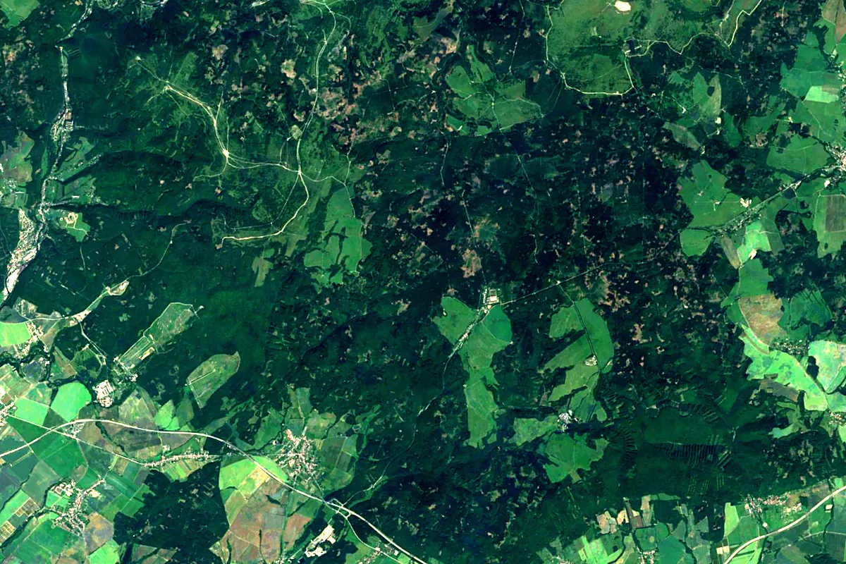
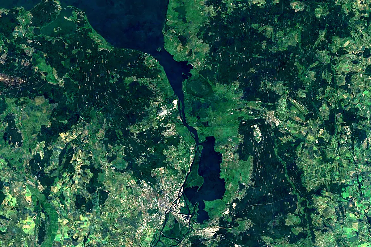
Sentinel-2 cloudless 2016 by EOX IT Services GmbH (contains modified Copernicus Sentinel data 2016), CC BY 4.0. The glowing line is the river as drawn by RiverATLAS.
Photos
Oder in pictures
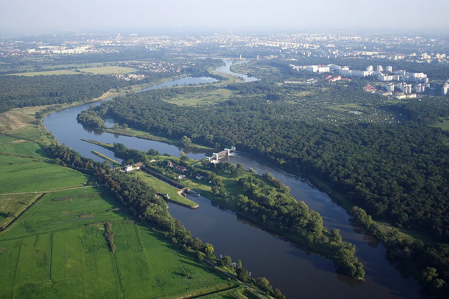
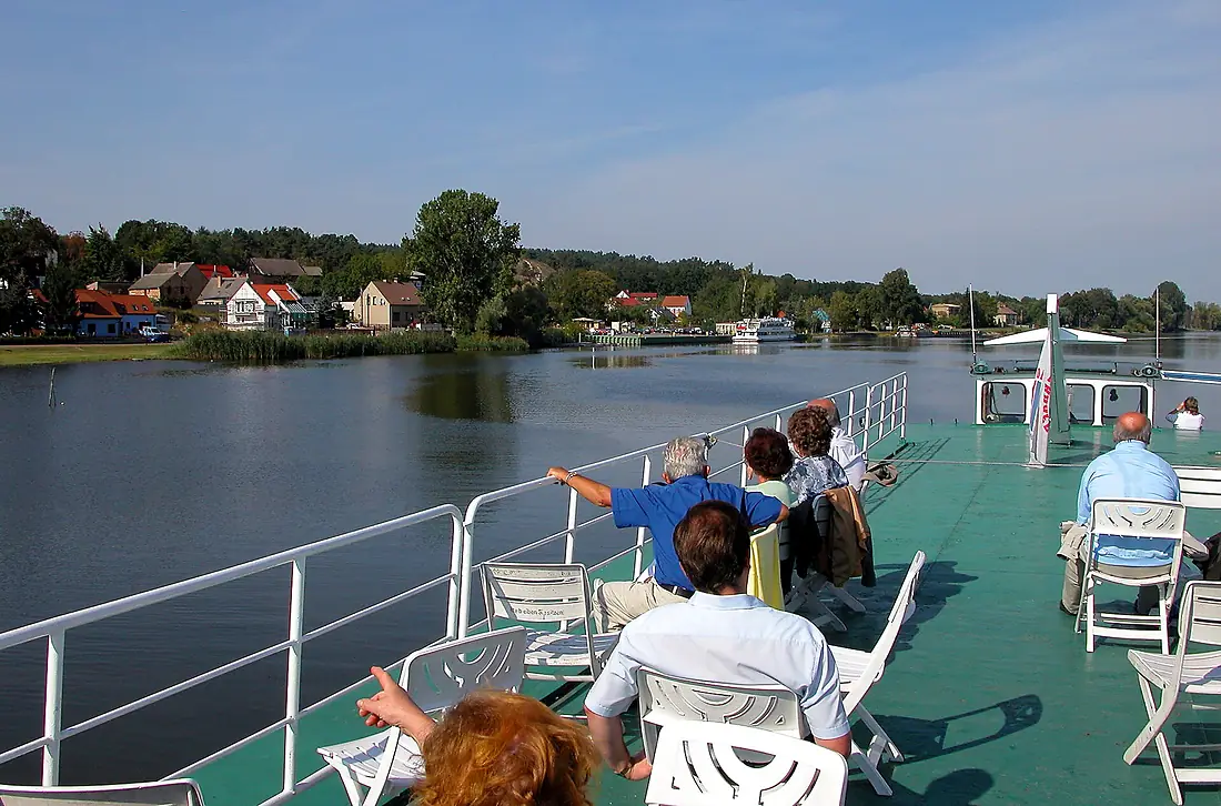
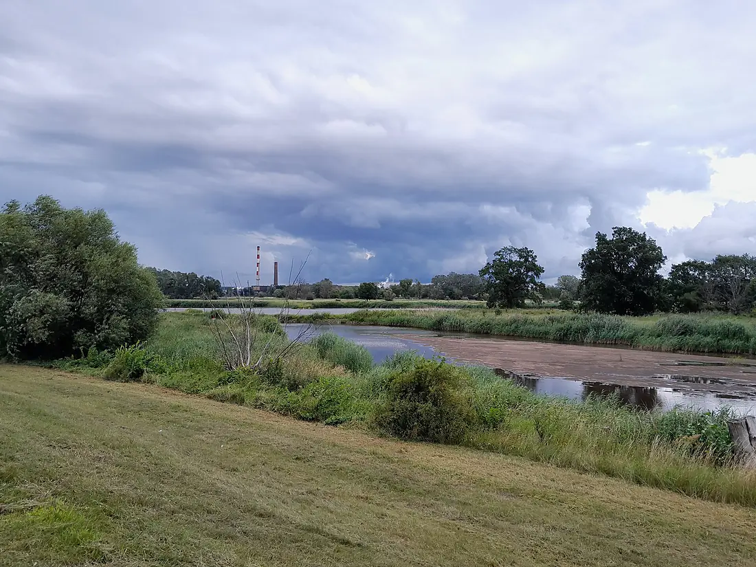
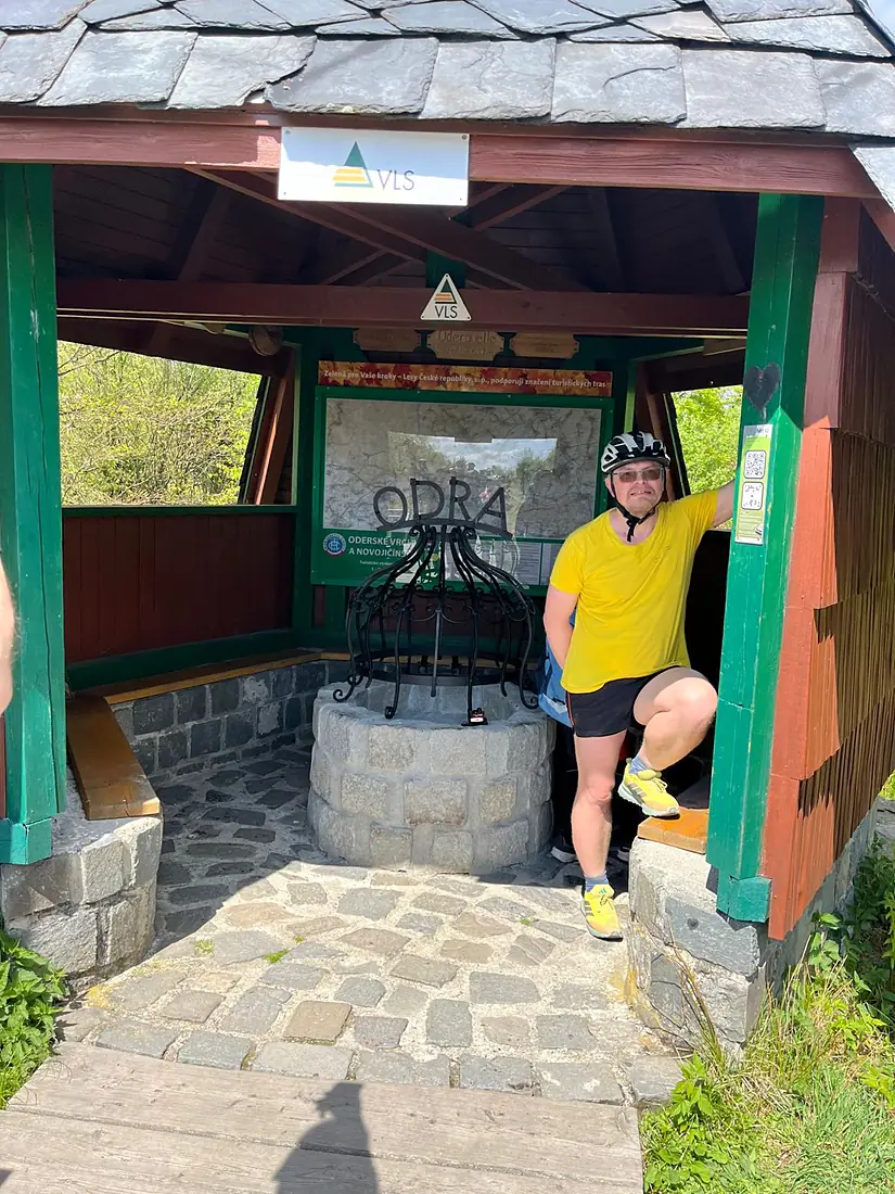
Tributaries
Where it flows, and what flows into it
Tributaries (69)
Poland808 km200 m³/sjoins at km 645BóbrPoland272 km44 m³/sjoins at km 537Lusatian NysaGermany254 km30 m³/sjoins at km 571Nysa KłodzkaPoland195 km45 m³/sjoins at km 218OpavaCzechia111 km16 m³/sjoins at km 73OlzaPoland99 km52 m³/sjoins at km 93OstraviceCzechia55 km160 m³/sjoins at km 79Also: Ina, Kaczawa, Kłodnica, Ślęza, Barycz, Mała Panew, Bystrzyca, Lubina, Widawa, Osobłoga, Oława, Welse, Gunica, Ruda, Bierawka, Zimnica, Stobrawa, Psina, Ondřejnice, Gowienica, Tywa, Jičínka, Luha, Pliszka
Nearby
Rivers nearby
Where these numbers come from
| Name, length, places | Wikidata (Q552) · CC0 |
|---|---|
| Course, profile, basin | RiverATLAS v1.0 (HydroATLAS, Linke et al. 2019) · CC BY 4.0 — followed from the source to the mouth given by Wikidata |
| Flow | WaterGAP (RiverATLAS), 1971–2000 · CC BY 4.0 |
| Climate along the river | WorldClim (RiverATLAS), 1970–2000 · CC BY 4.0 |
| Towns, bridges, dams | Wikidata · CC0; GeoNames · CC BY 4.0 |
| Along the river | © OpenStreetMap contributors · ODbL |
| Images | EOX Sentinel-2 cloudless 2016 · CC BY 4.0; Wikimedia Commons |
| Our other atlases | Cascadyas, Lakeyas, Peakyas, Islandyas — Wikidata · CC0; © OpenStreetMap contributors · ODbL; GeoNames · CC BY 4.0; HydroLAKES · CC BY 4.0; NOAA OISST |
Every source and licence is on the data sources page.
The family
Do you prefer beaches, lakes, mountains, waterfalls, islands, rivers or canyons?
Same idea, other landscapes: field atlases built on open data, month by month, in seven languages.
 beaches
 Find your beach: sea temperature, sun and swimming month by month.Visit lakes
 Every lake on Earth: water temperature, ice, depth and the shore.Coming soonVisit mountains
 Every summit in 3D: summit weather, the 0 °C line, huts and trails.Visit waterfalls
 Every waterfall: height, flow month by month and when it roars.Coming soonVisit islands
 Every island from the sea up: size, sea temperature, ferries and 3D.Coming soonVisit
  rivers
 Every river from source to sea: the journey, the flow and the basin in numbers.You are here
 canyons
 Every canyon cut to scale: depth to the floor, rim and floor temperatures, trails and viewpoints.Coming soonVisit