River
Ostravice
55 km from source to mouth · Czechia.
 CzechiaFlows into Oder
In numbers
Length
55km
Average flow
160m³/s
Basin
827km²
Drop
293m
from 498 m to 205 m
Country
1
The journey
From source to mouth
55 km of river and 36 stops on the way: 14 towns and cities on its banks, dams, bridges and the tributaries that feed it.
- 0 kmSourceat 498 m
- 4 kmŠance Reservoir1.7 km²
- 4 kmŠance Dam
- 8 kmOstravice2,324 people
- 10 kmVodopád Ostravice
- 13 kmPstruží1,061 people
- 16 kmFrýdlant nad Ostravicí9,835 people
- 17 kmJez U Autokempu
- 18 kmWeir Pržno
- 18 kmMetylovice1,790 people
- 19 kmPržno1,081 people
- 19 kmweir Hodoňovice
- 23 kmBaška4,056 people
- 24 kmWeir Baška - Kunčičky u Bašky (27 km)
- 24 kmWeir Baška - Kunčičky u Bašky (26 km)
- 26 kmStaré Město1,517 people
- 26 kmweir U Žida
- 26 kmOlešná Reservoir0.6 km²
- 27 kmLávka přes Ostravici u okresního archivu ve Frýdku-Místku
- 28 kmFootbridge over the Ostravice near Svatoplukova street
- 29 kmFrýdek-Místek53,590 people
- 30 kmVálcovenský jez
- 30 kmSviadnov1,352 people
- 32 kmMorávkatributary
- 34 kmStolbergův jez
- 36 kmPaskov3,855 people
- 36 kmŘepiště1,915 people
- 41 kmVratimov7,469 people
- 44 kmOlešnátributary
- 50 kmHradní lávka
- 50 kmOstrava283,187 people
- 50 kmChain bridge in Ostrava
- 50 kmŘíšský most
- 50 kmMiloš Sýkora bridge
- 51 kmLávka přes Ostravici z náměstí Jurije Gagarina
- 51 kmMoravská Ostrava33,958 people
- 55 kmLučinatributary
- 55 kmOderat 205 m
Water level along the river (RiverATLAS; the height is exaggerated). Towns: GeoNames and Wikidata; bridges, dams and tributaries: Wikidata.
River in the Czech Republic
At the mouth it carries 155 m³/s on average: an Olympic pool every 16 seconds. It drops from 498 m to 205 m, 5.3 m per kilometre on average. Its basin covers 827 km².
Where to start
- OstravaLargest city on its banks · 283,187 people
- Leoš Janáček Airport Ostrava (OSR)Nearest airport with scheduled flights, 20 km from the cityCar hire at OSR airport (Mošnov)Discover Cars · Affiliate link↗
Plan the trip
Plan the trip: boat trips, a bed by the river, a car
Some links above are affiliate links: if you book through them we may earn a commission, at no extra cost to you. It never changes what the data on this page says.
Along the river
Ostravice: what you find on the way
- 63Weirsjez U Autokempu, Staroměstský stupeň and 61 more
- 1WaterfallsKoryto řeky Ostravice
From OpenStreetMap, within 1.2 km of the river. Not mapped is not the same as not there.
Cross-checked with our atlases
Ostravice in our other atlases
What our sister atlases know about the waterfalls on this river, the lakes it flows through, the beaches at its mouth, the mountains where it rises and the islands off its mouth.
 1waterfall on the riverCascadyas
 2lakes on its wayLakeyas
 73mountains at the sourcePeakyas
Waterfalls (1)
On the river, by Cascadyas
- Vodopád Ostravicekm 9
Cascadyas is coming soonOpen Cascadyas ↗
Lakes and reservoirs (2)
Lakes it flows through, by Lakeyas
- Šance Reservoirkm 31.7km²
- Olešná Reservoirkm 240.6km²
Lakeyas is coming soonOpen Lakeyas ↗
Mountains at the source (73)
Within 15 km of the source, by Peakyas
- Lysá hora10 km away · prominence 768 m1,324m
- Smrk9.1 km away · prominence 591 m1,277m
- Kněhyně12 km away · prominence 514 m1,258m
- Travný12 km away · prominence 488 m1,204m
- Malchor11 km away1,220m
- Čertův mlýn13 km away1,206m
- Malý Smrk8.5 km away1,174m
- Vysoká9.5 km away · prominence 224 m1,024m
65 more on PeakyasOpen Peakyas ↗
From space
The source and the mouth, seen from orbit
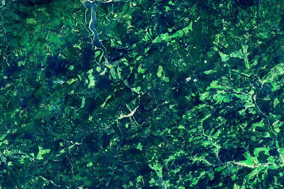
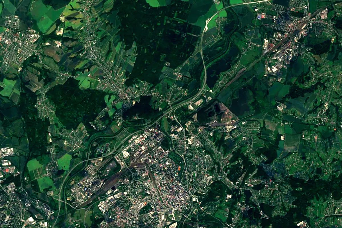
Sentinel-2 cloudless 2016 by EOX IT Services GmbH (contains modified Copernicus Sentinel data 2016), CC BY 4.0. The glowing line is the river as drawn by RiverATLAS.
Photos
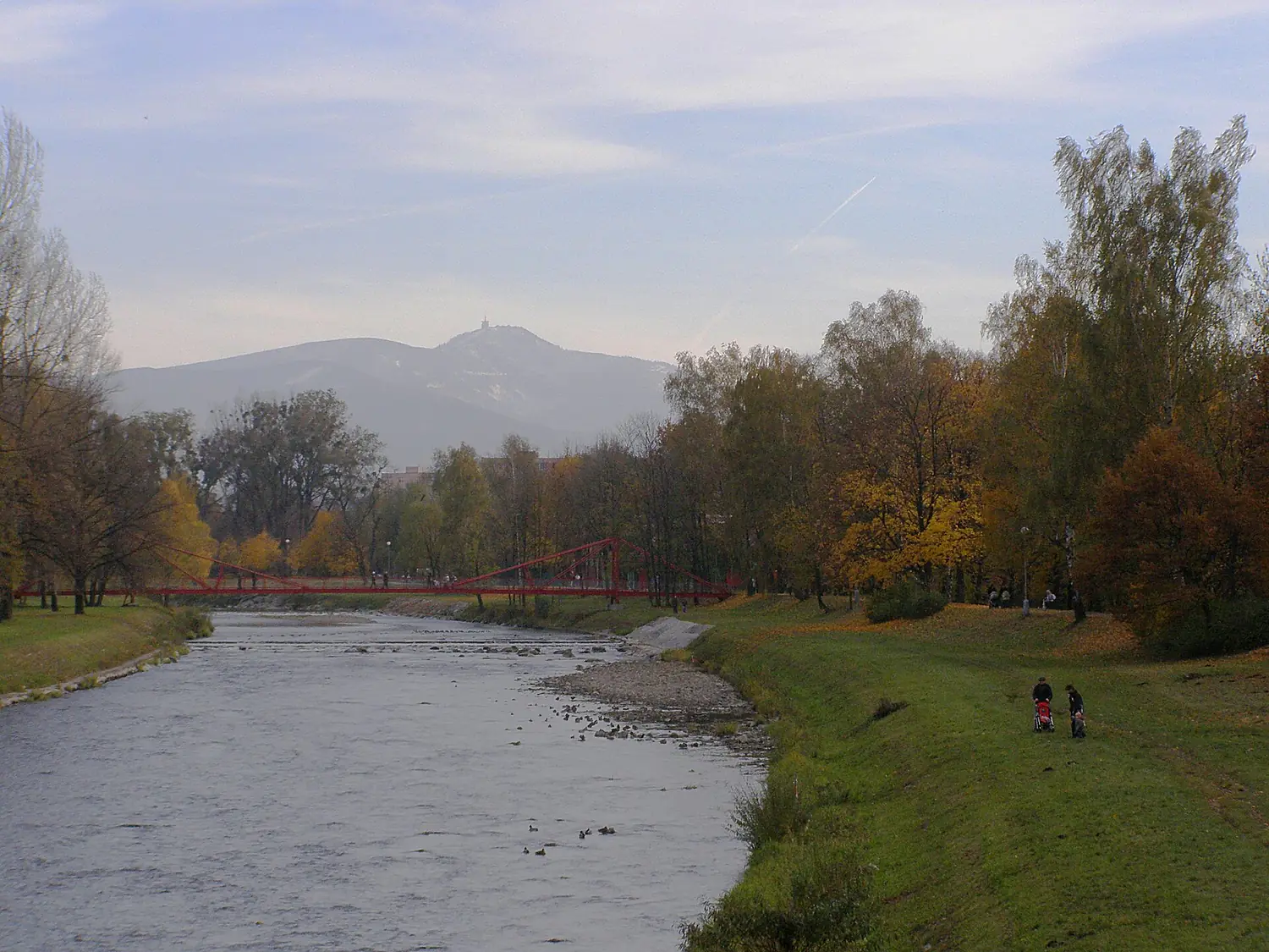
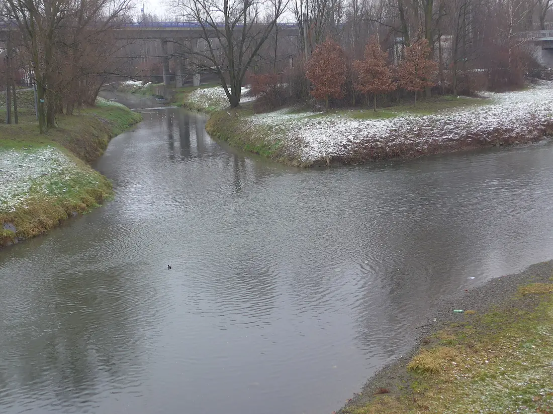
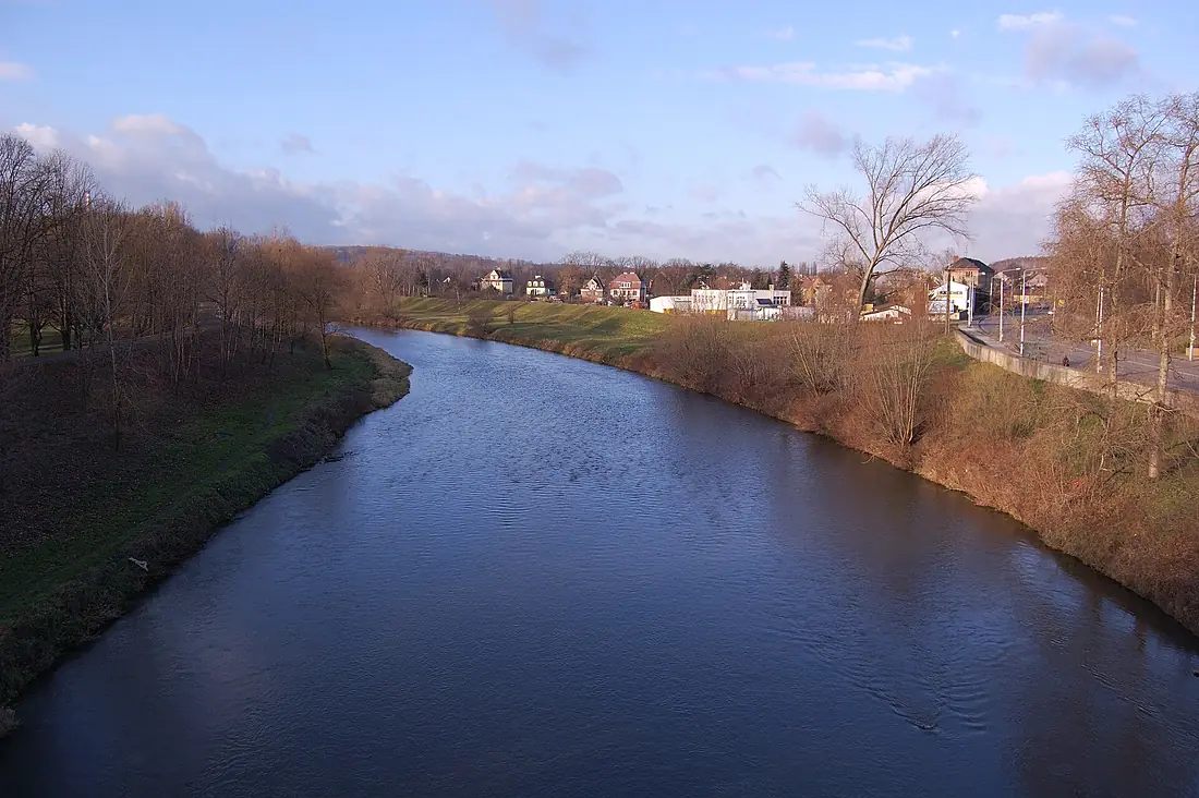
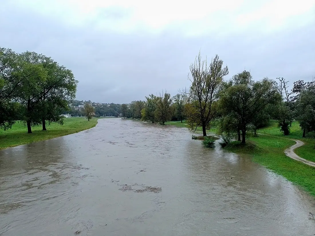
Ostravice in pictures
Tributaries
Where it flows, and what flows into it
It flows into
Oder Poland854 km480 m³/s
Tributaries (9)
Also: Lučina, Morávka, Čeladenka, Černá Ostravice, Olešná, Baštice, Jamník (Ostravice tributary), Bystrý potok, Satina
 Germany
Nearby
Rivers nearby
 Slovakia
 Austria
Where these numbers come from
| Name, length, places | Wikidata (Q1362517) · CC0 |
|---|---|
| Course, profile, basin | RiverATLAS v1.0 (HydroATLAS, Linke et al. 2019) · CC BY 4.0 — followed from the source to the mouth given by Wikidata |
| Flow | WaterGAP (RiverATLAS), 1971–2000 · CC BY 4.0 |
| Climate along the river | WorldClim (RiverATLAS), 1970–2000 · CC BY 4.0 |
| Towns, bridges, dams | Wikidata · CC0; GeoNames · CC BY 4.0 |
| Along the river | © OpenStreetMap contributors · ODbL |
| Images | EOX Sentinel-2 cloudless 2016 · CC BY 4.0; Wikimedia Commons |
| Our other atlases | Cascadyas, Lakeyas, Peakyas — Wikidata · CC0; © OpenStreetMap contributors · ODbL; GeoNames · CC BY 4.0; HydroLAKES · CC BY 4.0; NOAA OISST |
Every source and licence is on the data sources page.
The family
Do you prefer beaches, lakes, mountains, waterfalls, islands, rivers or canyons?
Same idea, other landscapes: field atlases built on open data, month by month, in seven languages.
 beaches
 Find your beach: sea temperature, sun and swimming month by month.Visit lakes
 Every lake on Earth: water temperature, ice, depth and the shore.Coming soonVisit mountains
 Every summit in 3D: summit weather, the 0 °C line, huts and trails.Visit waterfalls
 Every waterfall: height, flow month by month and when it roars.Coming soonVisit
  islands
 Every island from the sea up: size, sea temperature, ferries and 3D.Coming soonVisit
  rivers
 Every river from source to sea: the journey, the flow and the basin in numbers.You are here
 canyons
 Every canyon cut to scale: depth to the floor, rim and floor temperatures, trails and viewpoints.Coming soonVisit