River
Purus River
2,960 km from source to mouth · Brazil.
 BrazilFlows into Solimões3rd longest in Brazil
In numbers
Length
2,960km
Average flow
8.4m³/s
Basin
365,000km²
Drop
281m
from 291 m to 10 m
Country
1
The journey
From source to mouth
2,960 km of river and 39 stops on the way: 7 towns and cities on its banks, dams, bridges and the tributaries that feed it.
- 0 kmSourceat 291 m
- 230 kmSanta Rosa Rivertributary
- 367 kmChandless Rivertributary
- 496 kmManoel Urbano9,581 people
- 656 kmIaco Rivertributary
- 875 kmBoca do Acre34,635 people
- 875 kmAcre Rivertributary
- 1,043 kmLago Peniripuá1.2 km²
- 1,065 kmPauini Rivertributary
- 1,096 kmPauini19,522 people
- 1,174 kmLago Mataripuá0.6 km²
- 1,261 kmLago Gaivotas0.6 km²
- 1,268 kmLago Abunini3.6 km²
- 1,559 kmItuxi Rivertributary
- 1,569 kmLábrea46,882 people
- 1,760 kmCanutama15,807 people
- 1,771 kmMucuim Rivertributary
- 1,905 kmTapauá Rivertributary
- 1,919 kmSaco de Santa Luzia1.1 km²
- 2,041 kmLago Mapixi5.4 km²
- 2,129 kmLago Arimã35 km²
- 2,175 kmLago do Canta Galo1.7 km²
- 2,214 kmTapauá17,015 people
- 2,215 kmIpixuna Rivertributary
- 2,244 kmLago do Ponta0.6 km²
- 2,306 kmLago Pupunha1.9 km²
- 2,318 kmLago Boa Vista0.6 km²
- 2,329 kmLago Tambaqui0.5 km²
- 2,503 kmLago do Sacado4.7 km²
- 2,507 kmLago Munguba0.6 km²
- 2,525 kmLago Pinimão0.7 km²
- 2,527 kmLago da Mira2.9 km²
- 2,531 kmLago do Arumã3.6 km²
- 2,542 kmLago Caioé0.7 km²
- 2,577 kmLago do Veiga0.4 km²
- 2,580 kmLago Aiapuá123 km²
- 2,585 kmLago do Pirarara0.8 km²
- 2,587 kmLago Rodela1.8 km²
- 2,620 kmLago Xavier2.7 km²
- 2,687 kmBeruri20,093 people
- 2,960 kmSolimõesat 10 m
Water level along the river (RiverATLAS; the height is exaggerated). Towns: GeoNames and Wikidata; bridges, dams and tributaries: Wikidata.
River in Brazil
At the mouth it carries 8.4 m³/s on average: an Olympic pool every 298 seconds. It drops from 291 m to 10 m, 0.1 m per kilometre on average. Its basin covers 365,000 km², about the size of DE. 710,000 people live in it. Highest water: from February to April; lowest: from August to October. No large dam holds it back: it is one of the world's free-flowing rivers.
Where to start
- LábreaLargest city on its banks · 46,882 people
- Governador Jorge Teixeira de Oliveira International Airport (PVH)Nearest airport with scheduled flights, 188 km from the cityCar hire at PVH airport (Porto Velho)Discover Cars · Affiliate link↗
- On the water6 ferry piers, marinas, boat rentals and boat ramps along the river (OpenStreetMap)
- From June to AugustThe best months to visit
Purus River, month by month
Highest water: from February to April
Lowest water: from August to October. Best months to visit: from June to August.
From about 2,600 m³/s in the lowest month to 11,500 m³/s in the highest. An estimate: the monthly flow is modelled from the lowest and highest months of WaterGAP (RiverATLAS, 1971–2000) and the rain and snow along the river (WorldClim). Dams change the real rhythm. The chip is the average air temperature; below it, the month's rain.
Plan the trip
Plan the trip: boat trips, a bed by the river, a car
Some links above are affiliate links: if you book through them we may earn a commission, at no extra cost to you. It never changes what the data on this page says.
The basin
Purus River: the basin in numbers
378,762 km² of land send their water to this river. This is what lives on it.
- 710,000people live in the basin
- 2/km²people per km²
- 151maverage altitude of the basin
- 2,212mmof rain a year (basin average)
- 25.8°Caverage air temperature
- 53%protected areas
- 0.3%covered by lakes
What covers the basin
- 92% Forest
- 1% Pasture
RiverATLAS (HydroATLAS v1.0, CC BY 4.0): land cover, people, protected areas, glaciers and dams over the whole basin upstream of the mouth.
Along the river
Purus River: what you find on the way
- 6Ferry piersBoca do Acre, Pauini, Lábrea and 3 more
From OpenStreetMap, within 2.7 km of the river. Not mapped is not the same as not there.
Cross-checked with our atlases
Purus River in our other atlases
What our sister atlases know about the waterfalls on this river, the lakes it flows through, the beaches at its mouth, the mountains where it rises and the islands off its mouth.
 23lakes on its wayLakeyas
Lakes and reservoirs (23)
Lakes it flows through, by Lakeyas
- Lago Abuninikm 1,3063.6km²
- Lago Mapixikm 2,1025.4km²
- Lago Arimãkm 2,19335km²
- Lago Pupunhakm 2,3751.9km²
- Lago do Sacadokm 2,5784.7km²
- Lago do Arumãkm 2,6073.6km²
- Lago Aiapuákm 2,658123km²
- Lago Xavierkm 2,6992.7km²
15 more on LakeyasLakeyas is coming soonOpen Lakeyas ↗
From space
The source and the mouth, seen from orbit
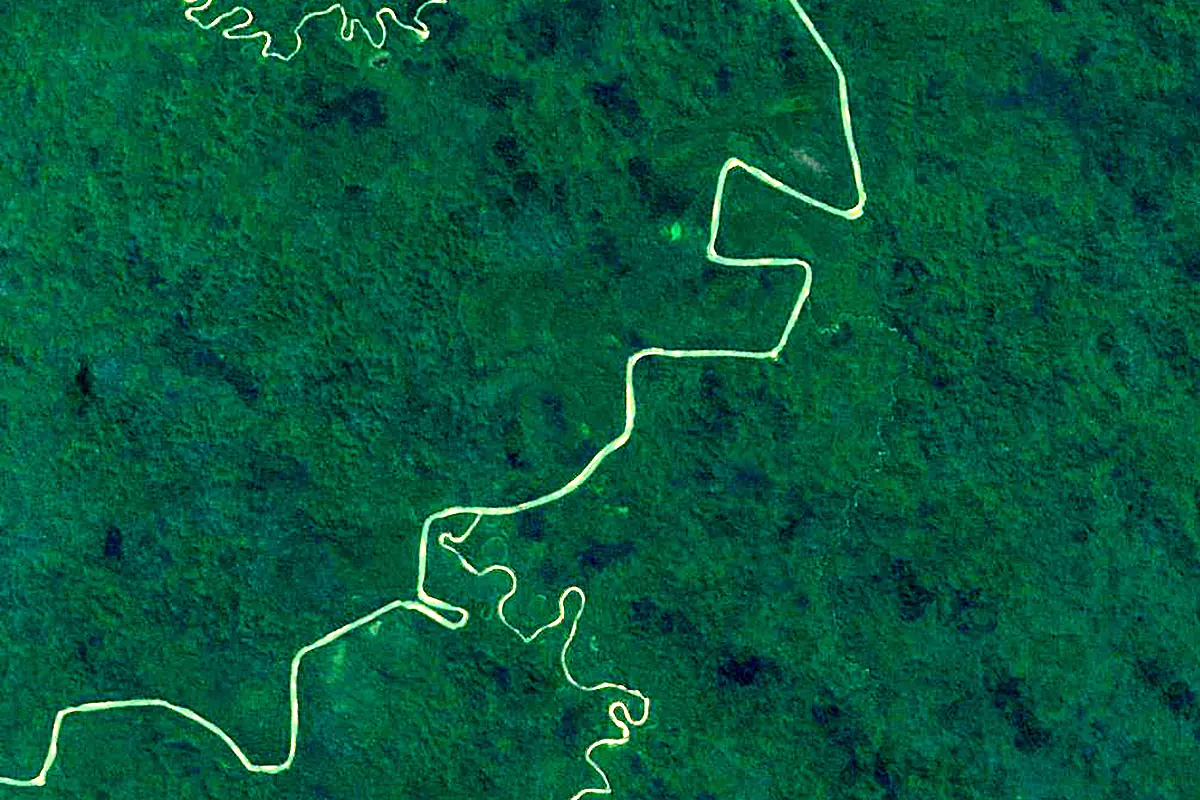
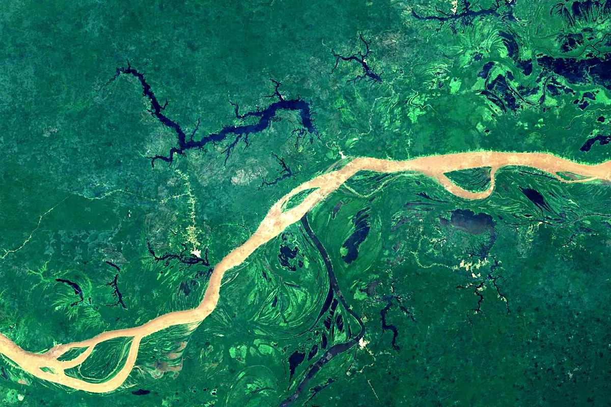
Sentinel-2 cloudless 2016 by EOX IT Services GmbH (contains modified Copernicus Sentinel data 2016), CC BY 4.0. The glowing line is the river as drawn by RiverATLAS.
Photos
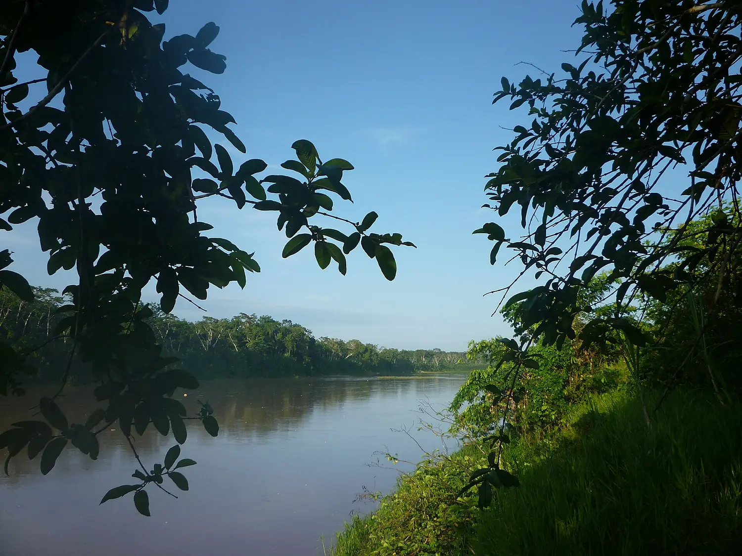
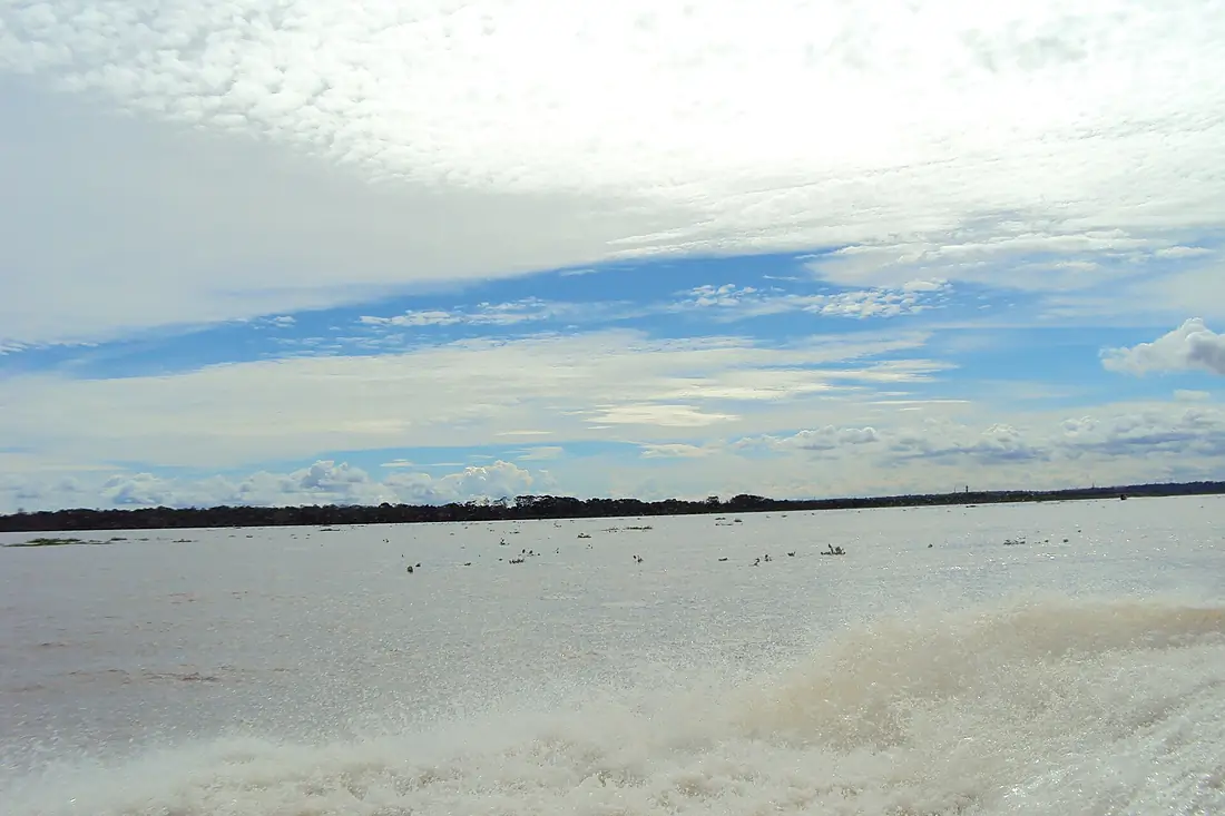
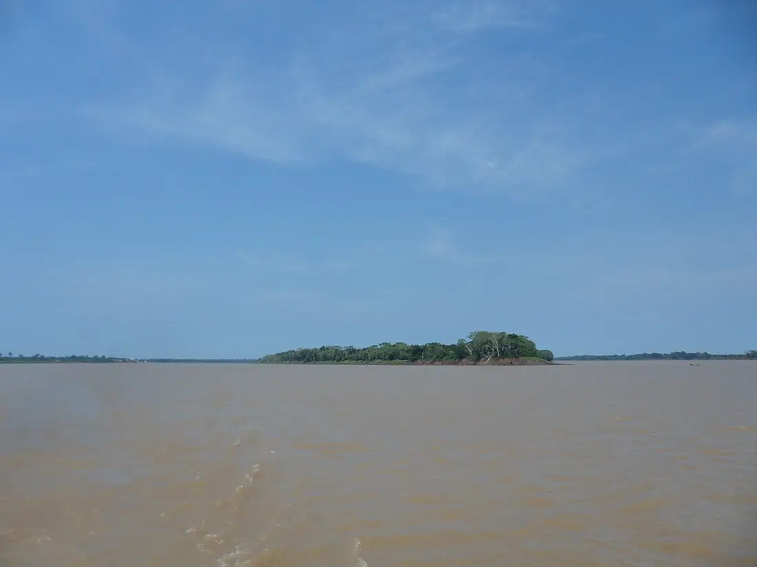
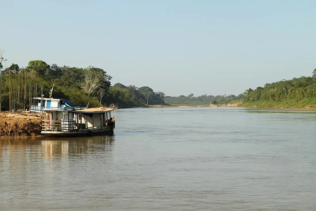
Purus River in pictures
Tributaries
Where it flows, and what flows into it
It flows into
SolimõesBrazil1,600 km100,000 m³/sTributaries (21)
Also: Chandless River, Iaco River, Tapauá River, Ituxi River, Ipixuna River, Mucuim River, Pauini River, Santa Rosa River, Sepatini River, Umari River, Chambuiaco River, Inauini River, Jacaré River, Paciá River, Seruini River, Tumiã River, Jari River, Cujar River, Curanja River, Curiuja River
In the same basin
Brazil6,400 km209,000 m³/sRio NegroBrazil2,250 km30,000 m³/sMadeira RiverBrazil1,450 km31,200 m³/sMarañón River Peru1,737 km16,700 m³/sUcayali RiverPeru1,460 km12,600 m³/sJapurá RiverBrazil2,820 km13,900 m³/sXingu RiverBrazil1,640 km9,700 m³/sMamoré RiverBrazil1,930 km11,600 m³/sJuruá RiverBrazil3,100 km4,800 m³/sTapajós RiverBrazil1,930 km13,000 m³/s
Nearby
Rivers nearby
Where these numbers come from
| Name, length, places | Wikidata (Q26271) · CC0 |
|---|---|
| Course, profile, basin | RiverATLAS v1.0 (HydroATLAS, Linke et al. 2019) · CC BY 4.0 — followed along the river network from the point given by Wikidata |
| Flow | WaterGAP (RiverATLAS), 1971–2000 · CC BY 4.0 |
| Climate along the river | WorldClim (RiverATLAS), 1970–2000 · CC BY 4.0 |
| Towns, bridges, dams | Wikidata · CC0; GeoNames · CC BY 4.0 |
| Along the river | © OpenStreetMap contributors · ODbL |
| Images | EOX Sentinel-2 cloudless 2016 · CC BY 4.0; Wikimedia Commons |
| Our other atlases | Lakeyas — Wikidata · CC0; © OpenStreetMap contributors · ODbL; GeoNames · CC BY 4.0; HydroLAKES · CC BY 4.0; NOAA OISST |
Every source and licence is on the data sources page.
The family
Do you prefer beaches, lakes, mountains, waterfalls, islands, rivers or canyons?
Same idea, other landscapes: field atlases built on open data, month by month, in seven languages.
 beaches
 Find your beach: sea temperature, sun and swimming month by month.Visit lakes
 Every lake on Earth: water temperature, ice, depth and the shore.Coming soonVisit
  mountains
 Every summit in 3D: summit weather, the 0 °C line, huts and trails.Visit
  waterfalls
 Every waterfall: height, flow month by month and when it roars.Coming soonVisit
  islands
 Every island from the sea up: size, sea temperature, ferries and 3D.Coming soonVisit
  rivers
 Every river from source to sea: the journey, the flow and the basin in numbers.You are here
 canyons
 Every canyon cut to scale: depth to the floor, rim and floor temperatures, trails and viewpoints.Coming soonVisit