Stream
Sangha
785 km from source to mouth · Republic of the Congo, Cameroon and Central African Republic.
 Republic of the Congo, Cameroon and Central African RepublicFlows into River Congo2nd longest in Republic of the Congo
In numbers
Length
785km
Average flow
2,500m³/s
Basin
213,400km²
Drop
92m
from 380 m to 288 m
Countries
3
The journey
From source to mouth
785 km of river and 6 stops on the way: 5 towns and cities on its banks, dams, bridges and the tributaries that feed it.
- 0 kmSourceat 380 m
- 0 kmNola31,923 people
- 1 kmKadeïtributary
- 91 kmBayanga8,920 people
- 280 kmOuesso40,667 people
- 320 kmPokola15,102 people
- 751 kmMossaka21,809 people
- 785 kmRiver Congoat 288 m
Water level along the river (RiverATLAS; the height is exaggerated). Towns: GeoNames and Wikidata; bridges, dams and tributaries: Wikidata.
River in the Congo Basin and tributary of the Congo River in Central Africa
At the mouth it carries 2,471 m³/s on average: an Olympic pool every 1.0 seconds. It drops from 380 m to 288 m, 0.1 m per kilometre on average. Its basin covers 213,400 km², about the size of OM. 1.5 million people live in it. Highest water: from October to December. No large dam holds it back: it is one of the world's free-flowing rivers.
The Sangha is formed at Nola, in the south-west of the Central African Republic, where the Mambéré and Kadéï rivers meet. It then runs 785 km south through or along the borders of the Central African Republic, Cameroon and the Republic of the Congo before joining the Congo River near Mossaka, with an average flow of 2,471 m³/s. Its main tributary, the Ngoko, comes in near Sembé. The whole course lies in dense Congo Basin rainforest, and three national parks on its banks, Dzanga-Ndoki, Lobéké and Nouabalé-Ndoki, make up the Sangha Trinational, a UNESCO World Heritage Site since 2012.
The best-known place to meet the river is Bayanga, in the Central African Republic. It is the main settlement and gateway of the Dzanga-Sangha reserve, whose western boundary is the Sangha. Visitors come for Dzanga Bai, a forest clearing where forest elephants gather throughout the year, and for guided tracking of habituated western lowland gorillas with Aka trackers. On the Congolese bank, Ouésso is the main town on the river. Access is difficult and conditions change, so check current travel advice before planning. The area has two rainy seasons, in May and June and in October and November; flow is highest in the main rains and lowest toward the end of the dry season.
Where to start
- OuessoLargest city on its banks · 40,667 people
- On the water15 ferry piers, marinas, boat rentals and boat ramps along the river (OpenStreetMap)
- From December to February and from June to JulyThe best months to visit
Sangha, month by month
Highest water: from October to December
Best months to visit: from December to February and from June to July.
From about 1,300 m³/s in the lowest month to 4,600 m³/s in the highest. An estimate: the monthly flow is modelled from the lowest and highest months of WaterGAP (RiverATLAS, 1971–2000) and the rain and snow along the river (WorldClim). Dams change the real rhythm. The chip is the average air temperature; below it, the month's rain.
Plan the trip
Plan the trip: boat trips, a bed by the river, a car
Some links above are affiliate links: if you book through them we may earn a commission, at no extra cost to you. It never changes what the data on this page says.
The basin
Sangha: the basin in numbers
213,062 km² of land send their water to this river. This is what lives on it.
- 1.5millionpeople live in the basin
- 7/km²people per km²
- 561maverage altitude of the basin
- 1,579mmof rain a year (basin average)
- 24.2°Caverage air temperature
- 14%protected areas
What covers the basin
- 64% Forest
- 1% Cropland
RiverATLAS (HydroATLAS v1.0, CC BY 4.0): land cover, people, protected areas, glaciers and dams over the whole basin upstream of the mouth.
Along the river
Sangha: what you find on the way
- 1WaterfallsChutes de Lamba
- 2Boat ramps
- 13Ferry piersEmbarcadere Pocola, Embarcadere Ouesso and 11 more
From OpenStreetMap, within 2.6 km of the river. Not mapped is not the same as not there.
Cross-checked with our atlases
Sangha in our other atlases
What the eleven atlases in our family know about this river: the waterfalls and lakes on its way, the beaches and islands at its mouth, the mountains where it rises, and the caves, canyons, viewpoints, forests, birding sites and dark skies along its banks.
 1mountain at the sourcePeakyas
 1birding site by the riverBirdyas
From space
The source and the mouth, seen from orbit
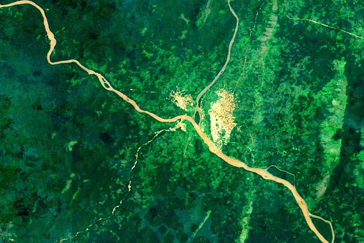
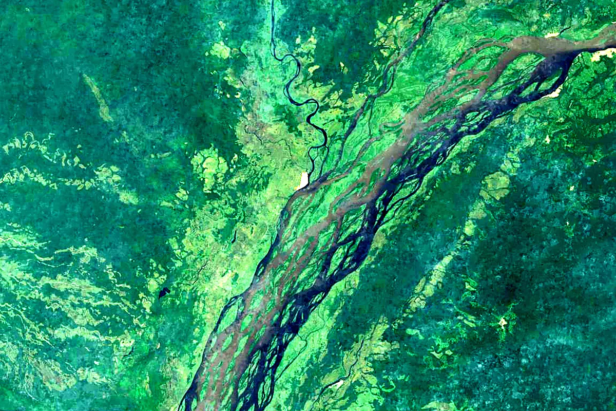
Sentinel-2 cloudless 2016 by EOX IT Services GmbH (contains modified Copernicus Sentinel data 2016), CC BY 4.0. The glowing line is the river as drawn by RiverATLAS.
Photos
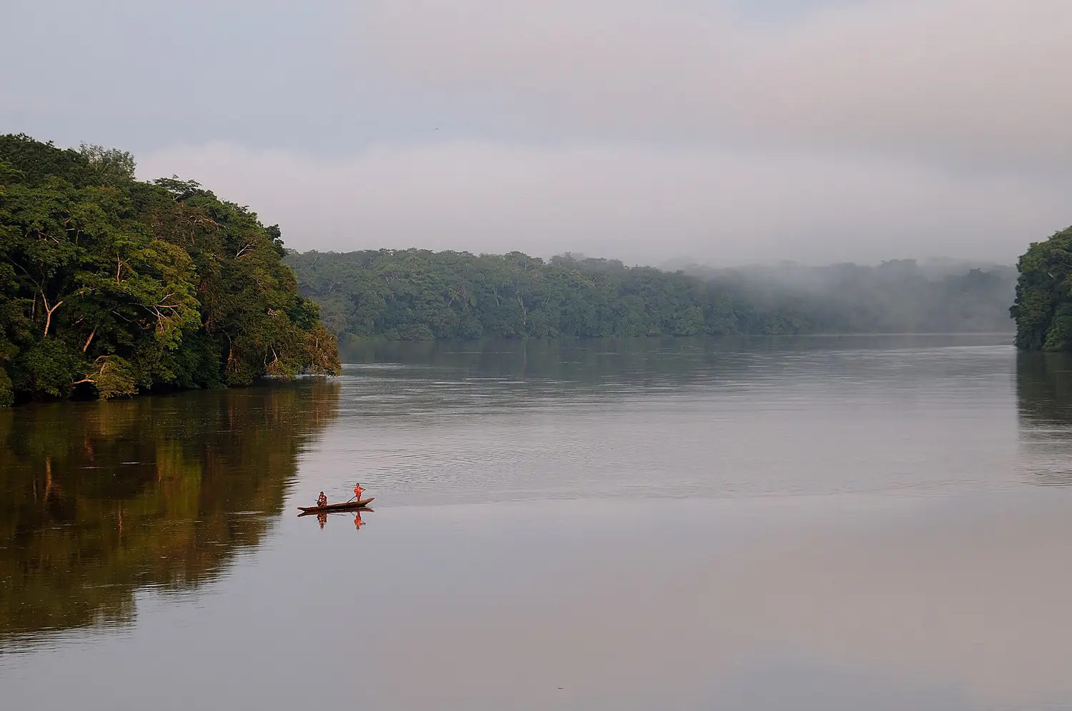
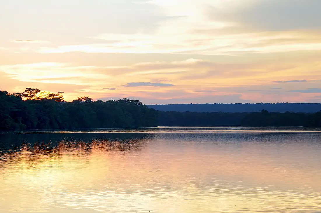
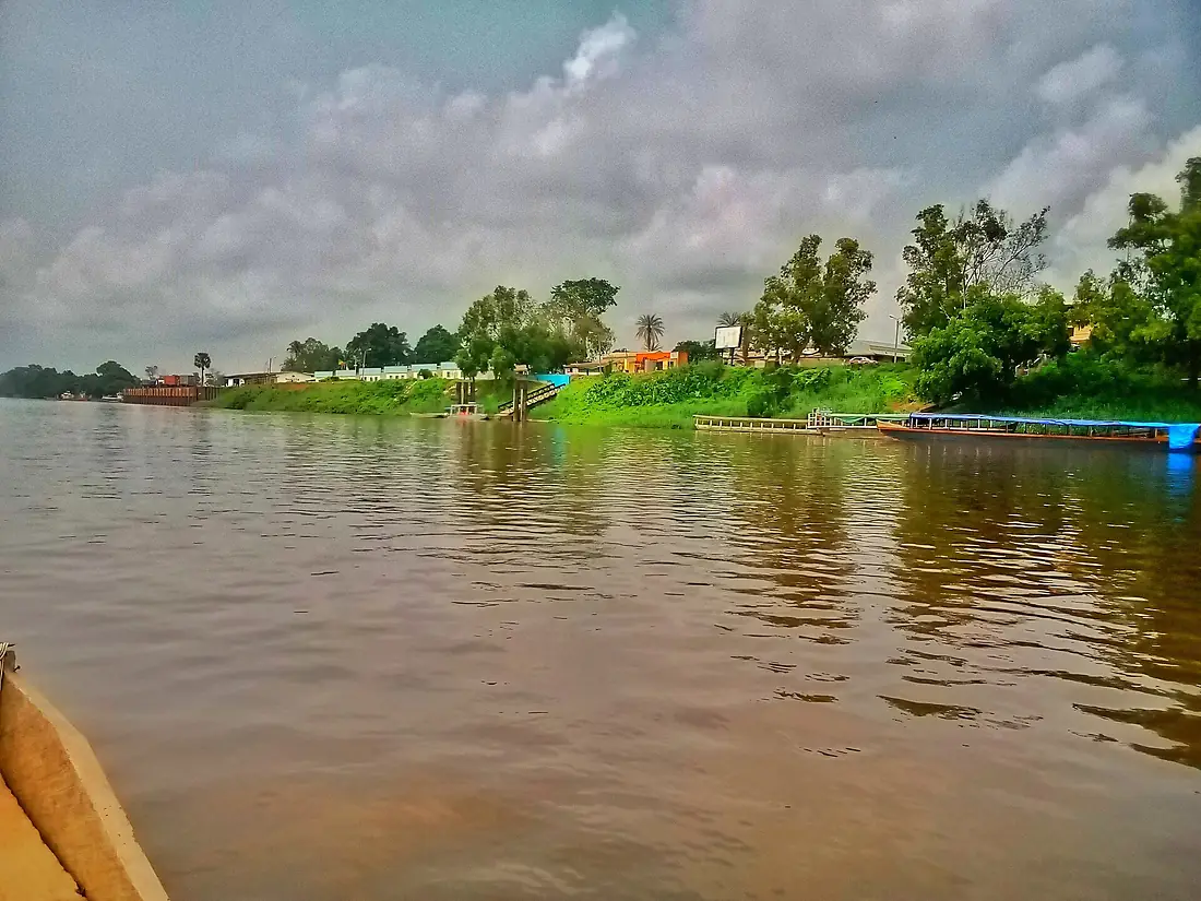
Sangha in pictures
Tributaries
Where it flows, and what flows into it
It flows into
River Congo Angola4,700 km41,800 m³/s
In the same basin
Republic of the Congo2,272 km12,000 m³/sUbangi RiverCentral African Republic1,060 km5,900 m³/sKwango River DR Congo1,770 km2,700 m³/sUeleDR Congo1,210 km1,500 m³/sLomami RiverDR Congo1,280 km3,000 m³/sEbola RiverDR Congo250 km320 m³/sMbomou RiverCentral African Republic800 km1,300 m³/sLuvua RiverDR Congo350 km600 m³/sSankuru RiverDR Congo1,200 km1,500 m³/sAruwimi RiverDR Congo1,300 km1,600 m³/s
Nearby
Rivers nearby
Central African Republic1,060 km5,900 m³/s131 km awayKasai RiverRepublic of the Congo2,272 km12,000 m³/s225 km awayKwango RiverDR Congo1,770 km2,700 m³/s242 km awayTshuapa RiverDR Congo1,300 km3,600 m³/s221 km awayKwilu RiverDR Congo965 km1,200 m³/s243 km awayLulonga RiverDR Congo180 km1,800 m³/s274 km awayDja RiverRepublic of the Congo523 km800 m³/s334 km awayWhere these numbers come from
| Name, length, places | Wikidata (Q239883) · CC0 |
|---|---|
| Course, profile, basin | RiverATLAS v1.0 (HydroATLAS, Linke et al. 2019) · CC BY 4.0 — followed along the river network from the point given by Wikidata |
| Flow | WaterGAP (RiverATLAS), 1971–2000 · CC BY 4.0 |
| Climate along the river | WorldClim (RiverATLAS), 1970–2000 · CC BY 4.0 |
| Towns, bridges, dams | Wikidata · CC0; GeoNames · CC BY 4.0 |
| Along the river | © OpenStreetMap contributors · ODbL |
| Images | EOX Sentinel-2 cloudless 2016 · CC BY 4.0; Wikimedia Commons |
| Our other atlases | Peakyas, Birdyas — Wikidata · CC0; © OpenStreetMap contributors · ODbL; GeoNames · CC BY 4.0; HydroLAKES · CC BY 4.0; NOAA OISST; GBIF · CC BY 4.0 |
Every source and licence is on the data sources page.
The family
Do you prefer beaches, lakes, mountains, waterfalls, islands, rivers, canyons, caves, dark skies, viewpoints, birdwatching, forests or history?
Same idea, other landscapes: field atlases built on open data, month by month, in seven languages.
 beaches
 Find your beach: sea temperature, sun and swimming month by month.Visit
 lakes
 Every lake on Earth: water temperature, ice, depth and the shore.Visit mountains
 Every summit in 3D: summit weather, the 0 °C line, huts and trails.Visit
 waterfalls
 Every waterfall: height, flow month by month and when it roars.Visit
 islands
 Every island from the sea up: size, sea temperature, ferries and 3D.Visit
 rivers
 Every river from source to sea: the journey, the flow and the basin in numbers.You are here
 canyons
 Every canyon cut to scale: depth to the floor, rim and floor temperatures, trails and viewpoints.Visit
 caves
 Every cave with its real depth and length: the rock above, the temperature inside all year, and how to visit.Visit
 dark skies
 Where the night is still dark: the sky of every place, the Milky Way month by month, the Moon, eclipses and auroras.Visit
 viewpoints
 Every viewpoint with its real 360° panorama: the peaks you can name, how far you see and where the sun sets.Visit birdwatching
 Every bird sanctuary and wetland with the species recorded month by month: who is resident, who comes for the summer, who only passes through.Visit
 forests
 Every forest with its land-cover rings, what grows and lives in it, and the best months to walk it.Visit
 history
 The history of the Earth on one timeline.Visit