River
River Congo
4,700 km from source to mouth · 4 countries.
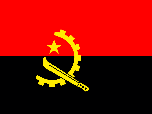
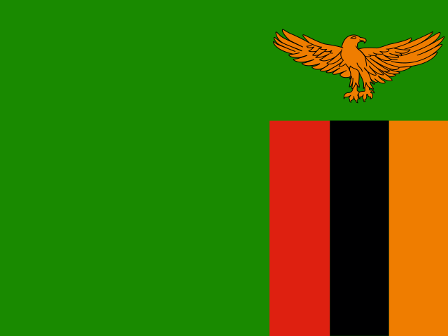
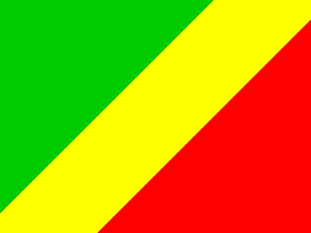
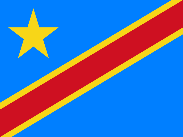 Angola, Zambia, Republic of the Congo and DR CongoFlows into Atlantic Ocean1st longest in Angola
In numbers
Length
4,700km
Average flow
41,800m³/s
Basin
3,705,302km²
Drop
1,233m
from 1,232 m to -1 m
Countries
4
The journey
From source to mouth
4,700 km of river and 61 stops on the way: 18 towns and cities on its banks, dams, bridges and the tributaries that feed it.
- 0 kmBoyoma Fallsat 1,232 m
- 336 kmLake Bemba6.0 km²
- 354 kmLake Chaya8.3 km²
- 449 kmKataba14,000 people
- 456 kmChambeshi Rivertributary
- 578 kmMumbotuta Falls
- 579 kmChutes Giraud
- 579 kmMambatuta Falls
- 847 kmMambilima Falls
- 926 kmPembe Lagoon32 km²
- 952 kmMofwe Lagoon68 km²
- 988 kmLuvua Rivertributary
- 1,091 kmPweto38,298 people
- 1,093 kmLake Mweru5,043 km²
- 1,143 kmChutes Poulsen
- 1,510 kmKabalo81,191 people
- 1,553 kmLukuga Rivertributary
- 1,583 kmKongolo86,932 people
- 1,601 kmHellepoorten
- 1,911 kmChute Shambe
- 1,915 kmKindu234,651 people
- 2,225 kmChutes Tshungu
- 2,325 kmBoyoma Falls
- 2,325 kmChutes Wagenia60 m
- 2,328 kmKisangani1,602,144 people
- 2,345 kmLinditributary
- 2,416 kmYangambi62,082 people
- 2,436 kmLomami Rivertributary
- 2,526 kmBasoko76,371 people
- 2,528 kmAruwimi Rivertributary
- 2,673 kmItimbiri Rivertributary
- 2,688 kmLualaba Rivertributary
- 2,690 kmBumba103,328 people
- 2,693 kmMoluatributary
- 2,791 kmLisala79,235 people
- 2,982 kmMongala Rivertributary
- 3,196 kmLulonga Rivertributary
- 3,258 kmTshuapa Rivertributary
- 3,258 kmRukitributary
- 3,261 kmMbandaka455,011 people
- 3,262 kmIkelembatributary
- 3,267 kmBolenge79,648 people
- 3,345 kmUbangi Rivertributary
- 3,429 kmLukolela15,000 people
- 3,475 kmSanghatributary
- 3,519 kmAlimatributary
- 3,592 kmBolobo47,032 people
- 3,678 kmLefini Rivertributary
- 3,705 kmKasai Rivertributary
- 3,885 kmKinshasa16,000,000 people
- 3,890 kmBrazzaville2,145,783 people
- 3,905 kmLukunga Rivertributary
- 3,934 kmLoufoulakari waterfalls
- 3,959 kmInkisi Rivertributary
- 4,076 kmChutes Itumsima
- 4,087 kmKwilutributary
- 4,172 kmLuvutributary
- 4,178 kmInga Falls
- 4,217 kmM'pozo Rivertributary
- 4,217 kmMatadi306,053 people
- 4,222 kmMatadi Bridge
- 4,269 kmBoma297,009 people
- 4,700 kmAtlantic Oceanat -1 m
Water level along the river (RiverATLAS; the height is exaggerated). Towns: GeoNames and Wikidata; bridges, dams and tributaries: Wikidata.
River in central Africa
At the mouth it carries 41,800 m³/s on average: 17 Olympic pools every second. It drops from 1,232 m to -1 m, 0.3 m per kilometre on average. Its basin covers 3,705,302 km², about the size of IN. 86.1 million people live in it. Highest water: from January to April; lowest: from August to September. No large dam holds it back: it is one of the world's free-flowing rivers.
Where to start
- KinshasaLargest city on its banks · 16,000,000 people
- Maya-Maya International Airport (BZV)Nearest airport with scheduled flights, 11 km from the cityCar hire at LAD airport (Luanda)Discover Cars · Affiliate link↗
- On the water64 ferry piers, marinas, boat rentals and boat ramps along the river (OpenStreetMap)
- Kayak and canoe3 put-ins and rapids mapped (OpenStreetMap)
- From May to SeptemberThe best months to visit
River Congo, month by month
Highest water: from January to April
Lowest water: from August to September. Best months to visit: from May to September.
From about 30,300 m³/s in the lowest month to 51,600 m³/s in the highest. An estimate: the monthly flow is modelled from the lowest and highest months of WaterGAP (RiverATLAS, 1971–2000) and the rain and snow along the river (WorldClim). Dams change the real rhythm. The chip is the average air temperature; below it, the month's rain.
Plan the trip
Plan the trip: boat trips, a bed by the river, a car
Some links above are affiliate links: if you book through them we may earn a commission, at no extra cost to you. It never changes what the data on this page says.
The basin
River Congo: the basin in numbers
3,705,302 km² of land send their water to this river. This is what lives on it.
- 86.1millionpeople live in the basin
- 24/km²people per km²
- 731maverage altitude of the basin
- 1,527mmof rain a year (basin average)
- 23.7°Caverage air temperature
- 11%protected areas
- 1.4%covered by lakes
- 4.1km³held in reservoirs
What covers the basin
- 71% Forest
- 4% Cropland
- 12% Pasture
- 1% Towns and cities
RiverATLAS (HydroATLAS v1.0, CC BY 4.0): land cover, people, protected areas, glaciers and dams over the whole basin upstream of the mouth.
Along the river
River Congo: what you find on the way
- 2Weirs
- 1LocksBende Bende
- 20WaterfallsMambatuta falls, Mambilima falls, Chutes de Tshungu and 17 more
- 3RapidsRapides de Kintambo, Livingstone Falls, Rapides de Yelala
- 6Boat rampsFerry and 5 more
- 51Ferry piersKisangani ONATRA, Débarcadère sud, Bumba and 48 more
- 7MarinasPort de Bolenge, Yacht Club, Nautic Club and 4 more
- 1River beachesPlage Kodya
From OpenStreetMap, within 3.3 km of the river. Not mapped is not the same as not there.
Cross-checked with our atlases
River Congo in our other atlases
What our sister atlases know about the waterfalls on this river, the lakes it flows through, the beaches at its mouth, the mountains where it rises and the islands off its mouth.
 12waterfalls on the riverCascadyas
 5lakes on its wayLakeyas
Waterfalls (12)
On the river, by Cascadyas
- Mumbotuta Fallskm 596
- Chutes Giraudkm 597
- Mambatuta Fallskm 598
- Mambilima Fallskm 873
- Hellepoortenkm 1,652
- Boyoma Fallskm 2,398
- Chutes Wageniakm 2,39860m
- Loufoulakari waterfallskm 4,058
4 more on CascadyasCascadyas is coming soonOpen Cascadyas ↗
Lakes and reservoirs (5)
Lakes it flows through, by Lakeyas
- Lake Bembakm 3466.0km²
- Lake Chayakm 3658.3km²
- Pembe Lagoonkm 95532km²
- Mofwe Lagoonkm 98268km²
- Lake Mwerukm 1,127 · 37 m deep5,043km²
Lakeyas is coming soonOpen Lakeyas ↗
From space
The source and the mouth, seen from orbit
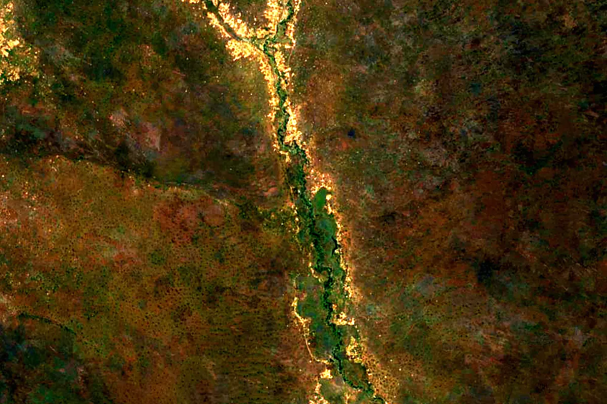
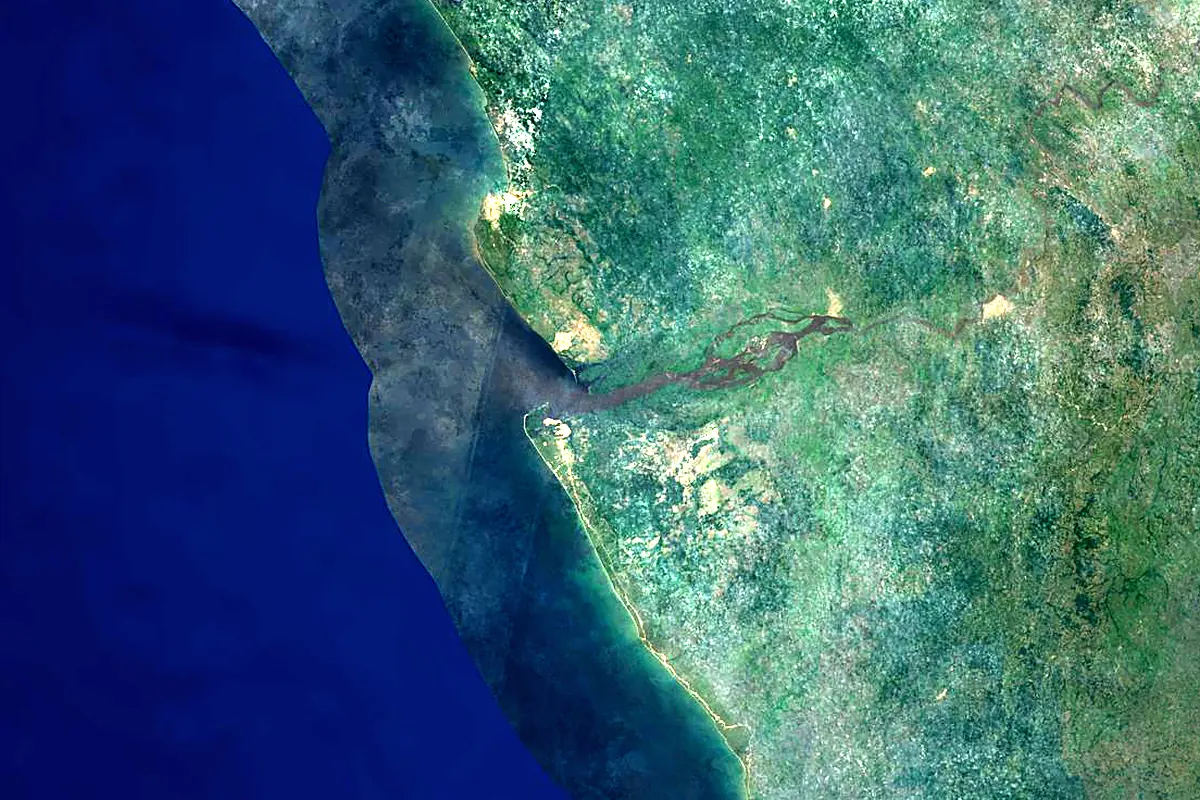
Sentinel-2 cloudless 2016 by EOX IT Services GmbH (contains modified Copernicus Sentinel data 2016), CC BY 4.0. The glowing line is the river as drawn by RiverATLAS.
Photos
River Congo in pictures
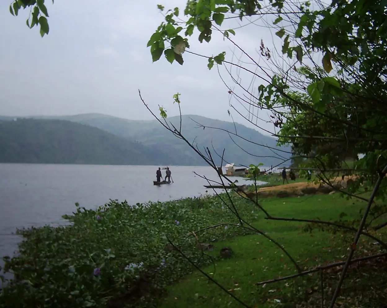
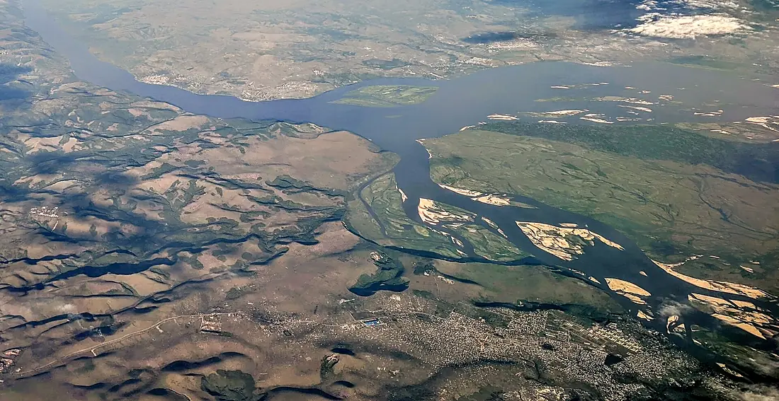
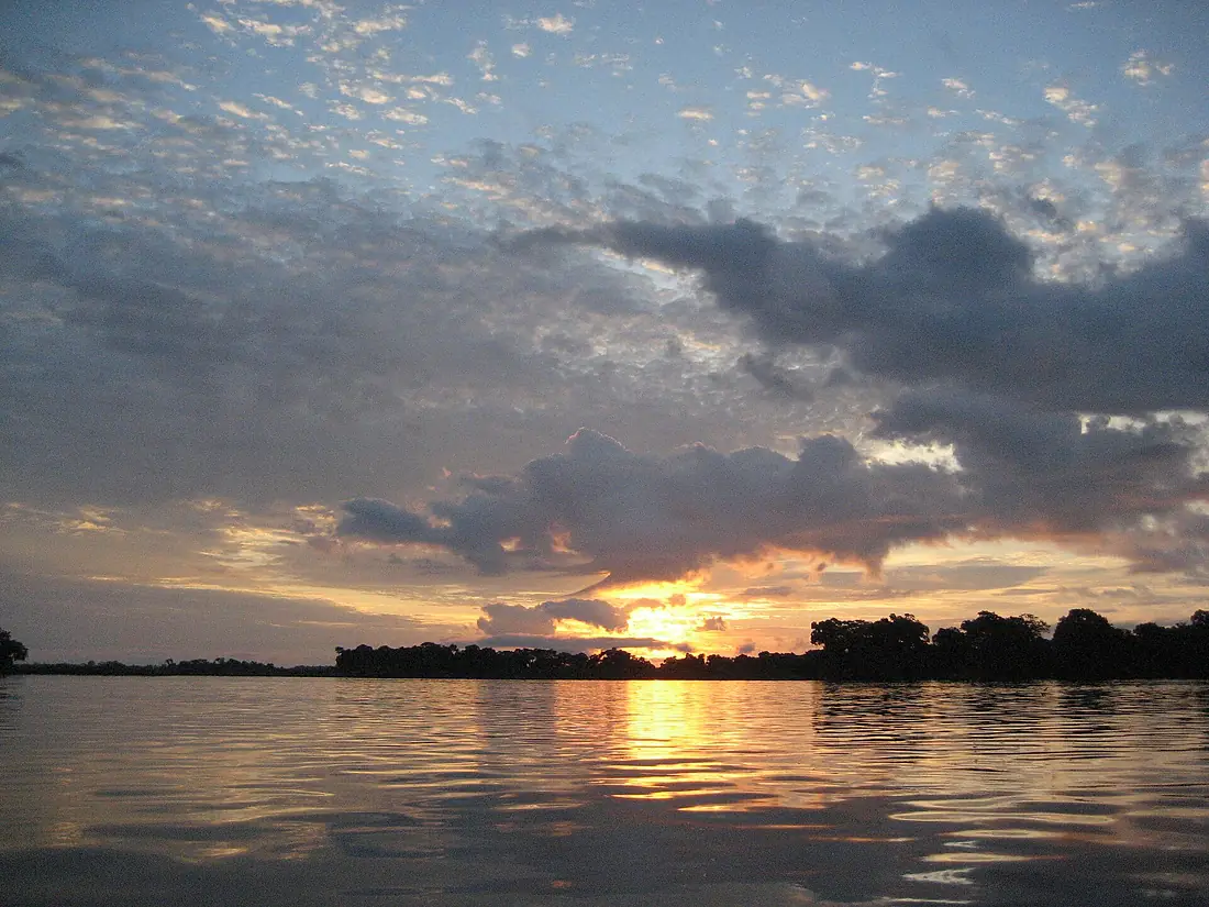
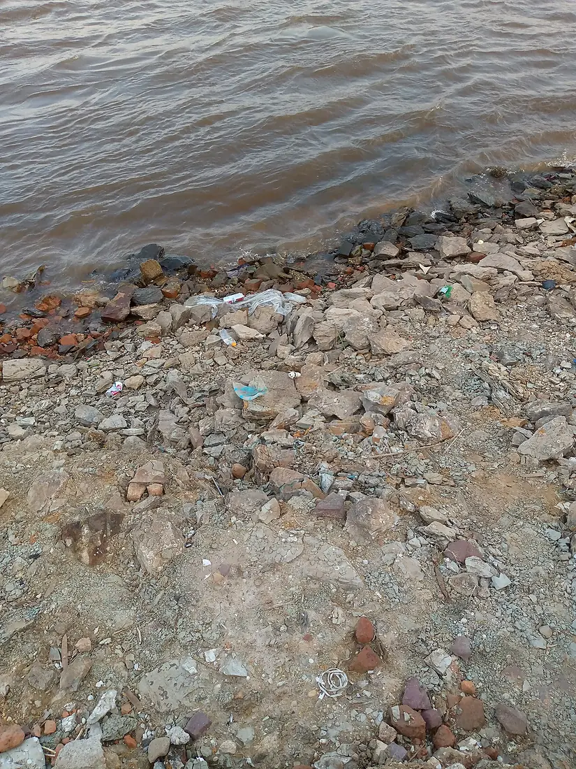
Tributaries
Where it flows, and what flows into it
Tributaries (39)
Republic of the Congo2,272 km12,000 m³/sjoins at km 3,822Lualaba RiverDR Congo1,800 km12,400 m³/sjoins at km 2,773Aruwimi RiverDR Congo1,300 km1,600 m³/sjoins at km 2,608Tshuapa RiverDR Congo1,300 km3,600 m³/sjoins at km 3,361Lomami RiverDR Congo1,280 km3,000 m³/sjoins at km 2,513Ubangi River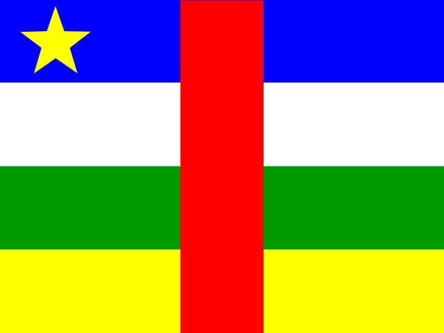 Central African Republic1,060 km5,900 m³/sjoins at km 3,450SanghaRepublic of the Congo785 km2,500 m³/sjoins at km 3,585Chambeshi RiverZambia480 km760 m³/sjoins at km 470Luvua RiverDR Congo350 km600 m³/sjoins at km 1,019Lukuga RiverDR Congo320 km1,800 m³/sjoins at km 1,602Lulonga RiverDR Congo180 km1,800 m³/sjoins at km 3,297
Also: Ruki, Inkisi River, Mongala River, Itimbiri River, Alima, Lindi, Ulindi River, Likouala-Mossaka, Ikelemba, M'pozo River, Ndjili River, Lefini River, Likouala aux Herbes, Lowa (Kivu/Maniema), Luvu, Lukunga River, Kouyou, Nsele River, Nkéni, Kwilu, Ambe River, Kasuku, Lufimi, Maiko
In the same basin
DR Congo1,770 km2,700 m³/sUeleDR Congo1,210 km1,500 m³/sEbola RiverDR Congo250 km320 m³/sMbomou RiverCentral African Republic800 km1,300 m³/sSankuru RiverDR Congo1,200 km1,500 m³/sRuzizi River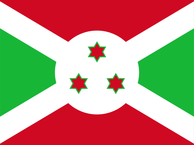 Burundi117 km400 m³/sDja RiverRepublic of the Congo523 km800 m³/sMalagarasi River
 Tanzania475 km340 m³/sLufira RiverDR Congo500 km300 m³/sKwilu RiverDR Congo965 km1,200 m³/s
 Gabon
GabonWhere these numbers come from
| Name, length, places | Wikidata (Q3503) · CC0 |
|---|---|
| Course, profile, basin | RiverATLAS v1.0 (HydroATLAS, Linke et al. 2019) · CC BY 4.0 — followed along the river network from the point given by Wikidata |
| Flow | WaterGAP (RiverATLAS), 1971–2000 · CC BY 4.0 |
| Climate along the river | WorldClim (RiverATLAS), 1970–2000 · CC BY 4.0 |
| Towns, bridges, dams | Wikidata · CC0; GeoNames · CC BY 4.0 |
| Along the river | © OpenStreetMap contributors · ODbL |
| Images | EOX Sentinel-2 cloudless 2016 · CC BY 4.0; Wikimedia Commons |
| Our other atlases | Cascadyas, Lakeyas — Wikidata · CC0; © OpenStreetMap contributors · ODbL; GeoNames · CC BY 4.0; HydroLAKES · CC BY 4.0; NOAA OISST |
Every source and licence is on the data sources page.
The family
Do you prefer beaches, lakes, mountains, waterfalls, islands, rivers or canyons?
Same idea, other landscapes: field atlases built on open data, month by month, in seven languages.
 beaches
 Find your beach: sea temperature, sun and swimming month by month.Visit lakes
 Every lake on Earth: water temperature, ice, depth and the shore.Coming soonVisit
  mountains
 Every summit in 3D: summit weather, the 0 °C line, huts and trails.Visit waterfalls
 Every waterfall: height, flow month by month and when it roars.Coming soonVisit
  islands
 Every island from the sea up: size, sea temperature, ferries and 3D.Coming soonVisit
  rivers
 Every river from source to sea: the journey, the flow and the basin in numbers.You are here
 canyons
 Every canyon cut to scale: depth to the floor, rim and floor temperatures, trails and viewpoints.Coming soonVisit