River
Tone River
322 km from source to mouth · Japan.
 JapanFlows into Kashima Sea2nd longest in Japan
In numbers
Length
322km
Average flow
260m³/s
Basin
16,840km²
Drop
846m
from 844 m to -2 m
Country
1
The journey
From source to mouth
322 km of river and 68 stops on the way: 35 towns and cities on its banks, dams, bridges and the tributaries that feed it.
- 0 kmMount Ōminakamiat 844 m
- 6 kmYagisawa Dam
- 11 kmLake Naramata1.6 km²
- 12 kmSudagai Dam
- 21 kmFujiwara Dam
- 43 kmMinakami18,383 people
- 49 kmAkaya Rivertributary
- 52 kmSagiishibashi bridge
- 52 kmNumata46,908 people
- 54 kmKatashina Rivertributary
- 55 kmMorishita6,953 people
- 60 kmTanashita Fudo Waterfalls
- 73 kmAgatsuma Rivertributary
- 74 kmShibukawa76,098 people
- 89 kmMaebashi331,849 people
- 95 kmShōwa Ōhashi Bridge
- 95 kmTakasaki372,639 people
- 102 kmTamamura36,367 people
- 108 kmIshigami30,343 people
- 109 kmKarasu Rivertributary
- 112 kmBandō Ōhashi Bridge
- 114 kmHonjō78,569 people
- 117 kmSakai-nakajima31,268 people
- 121 kmJōbu Ōhashi Bridge
- 132 kmTosui Bridge
- 134 kmMenuma27,684 people
- 140 kmAkaiwa10,861 people
- 144 kmGyōda-shi78,488 people
- 145 kmTone Diversion Weir
- 148 kmŌwa25,522 people
- 149 kmShōwa Bridge
- 149 kmŌ-zanuki10,882 people
- 159 kmItakura14,083 people
- 165 kmSaitama-o-hashi
- 172 kmTonegawa River Railway Bridge
- 173 kmTonegawa Bridge
- 173 kmKurihashi27,813 people
- 174 kmWatarase Rivertributary
- 175 kmLake Miyuki0.6 km²
- 178 kmKoga138,237 people
- 180 kmShin-Tonegawa Bridge
- 185 kmSakai Ōhashi Bridge
- 185 kmSakai24,201 people
- 203 kmMefuki Ōhashi Bridge
- 216 kmMoriya68,777 people
- 218 kmKinu-gawa Rivertributary
- 218 kmShin-Ōtone Bridge
- 223 kmTennodai7,385 people
- 228 kmToride104,524 people
- 233 kmKokai Rivertributary
- 235 kmSakae Bridge
- 236 kmFukawa15,340 people
- 237 kmInzai103,084 people
- 246 kmAjiki20,127 people
- 252 kmNagasao8,231 people
- 256 kmNarita130,689 people
- 266 kmKōzaki5,884 people
- 275 kmLake Kasumigaura168 km²
- 277 kmSuigō Ōhashi Bridge
- 278 kmKatori71,391 people
- 278 kmKatori-shi74,469 people
- 279 kmSawara47,199 people
- 288 kmLake Sotonasakaura41 km²
- 294 kmOmigawa25,763 people
- 295 kmKurobe Rivertributary
- 297 kmKamisu95,471 people
- 298 kmSukayama13,228 people
- 318 kmChōshi54,570 people
- 318 kmInubōsaki Lighthouse
- 322 kmKashima Seaat -2 m
Water level along the river (RiverATLAS; the height is exaggerated). Towns: GeoNames and Wikidata; bridges, dams and tributaries: Wikidata.
River in Japan
At the mouth it carries 256 m³/s on average: an Olympic pool every 9.8 seconds. It drops from 844 m to -2 m, 2.6 m per kilometre on average. Its basin covers 16,840 km², about the size of SZ. 8.5 million people live in it. Highest water: October. Dams and reservoirs hold back a large share of its water (20% of a year's flow).
Where to start
- TakasakiLargest city on its banks · 372,639 people
- Shinshu-Matsumoto Airport (MMJ)Nearest airport with scheduled flights, 98 km from the cityCar hire at HND airport (Tokyo)Discover Cars · Affiliate link↗
- On the water7 ferry piers, marinas, boat rentals and boat ramps along the river (OpenStreetMap)
- From April to July and OctoberThe best months to visit
Tone River, month by month
Highest water: October
Best months to visit: from April to July and October.
From about 110 m³/s in the lowest month to 430 m³/s in the highest. An estimate: the monthly flow is modelled from the lowest and highest months of WaterGAP (RiverATLAS, 1971–2000) and the rain and snow along the river (WorldClim). Dams change the real rhythm. The chip is the average air temperature; below it, the month's rain.
Plan the trip
Plan the trip: boat trips, a bed by the river, a car
Some links above are affiliate links: if you book through them we may earn a commission, at no extra cost to you. It never changes what the data on this page says.
The basin
Tone River: the basin in numbers
15,908 km² of land send their water to this river. This is what lives on it.
- 8.5millionpeople live in the basin
- 539/km²people per km²
- 440maverage altitude of the basin
- 1,494mmof rain a year (basin average)
- 11.8°Caverage air temperature
- 20%protected areas
- 1.7%covered by lakes
- 1.6km³held in reservoirs
What covers the basin
- 39% Forest
- 21% Cropland
- 37% Towns and cities
RiverATLAS (HydroATLAS v1.0, CC BY 4.0): land cover, people, protected areas, glaciers and dams over the whole basin upstream of the mouth.
Along the river
Tone River: what you find on the way
- 69Weirs
- 4LocksYokotone Lock Gate and 3 more
- 1Waterfalls
- 4Boat ramps
- 2Ferry piersAkaiwa tosen
From OpenStreetMap, within 1.9 km of the river. Not mapped is not the same as not there.
Cross-checked with our atlases
Tone River in our other atlases
What our sister atlases know about the waterfalls on this river, the lakes it flows through, the beaches at its mouth, the mountains where it rises and the islands off its mouth.
 1waterfall on the riverCascadyas
 4lakes on its wayLakeyas
 1beach at the mouth or on the banksCoastya
 28mountains at the sourcePeakyas
Waterfalls (1)
On the river, by Cascadyas
- Tanashita Fudo Waterfallskm 54
Cascadyas is coming soonOpen Cascadyas ↗
Lakes and reservoirs (4)
Lakes it flows through, by Lakeyas
- Lake Naramatakm 101.6km²
- Lake Miyukikm 1570.6km²
- Lake Kasumigaurakm 246 · 4 m deep168km²
- Lake Sotonasakaurakm 25841km²
Lakeyas is coming soonOpen Lakeyas ↗
Beaches (1)
At the mouth (25 km) and on the banks, by Coastya
- Kashima-ura2.9 km away24.7°C
Mountains at the source (28)
Within 15 km of the source, by Peakyas
- Mount Hiragatake8.5 km away2,141m
- Mount Echigo-Komagatake7.9 km away2,003m
- Nakanodake4.0 km away2,085m
- Mount Makihata15 km away1,967m
- Mount Keizuru14 km away2,004m
- Arasawa Dake6.5 km away1,969m
- Mount Ushi14 km away1,962m
- Usagi Dake1.3 km away1,926m
20 more on PeakyasOpen Peakyas ↗
From space
The source and the mouth, seen from orbit
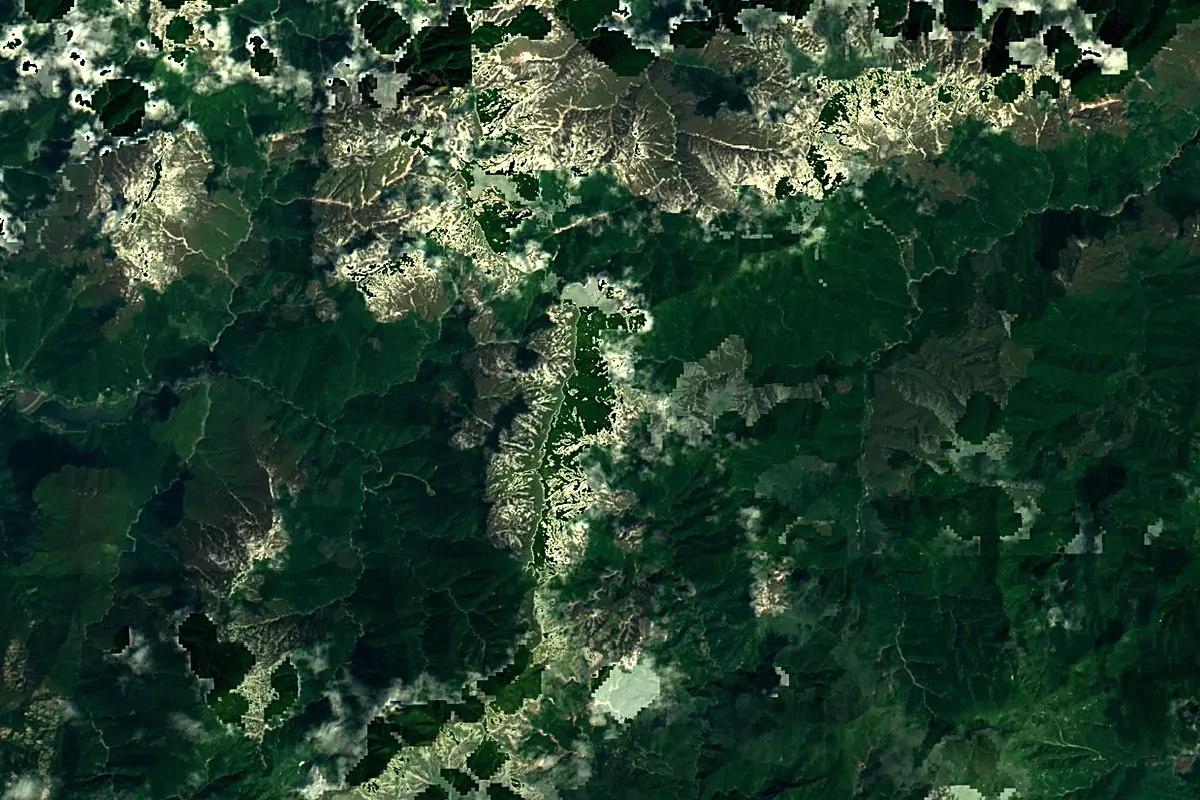
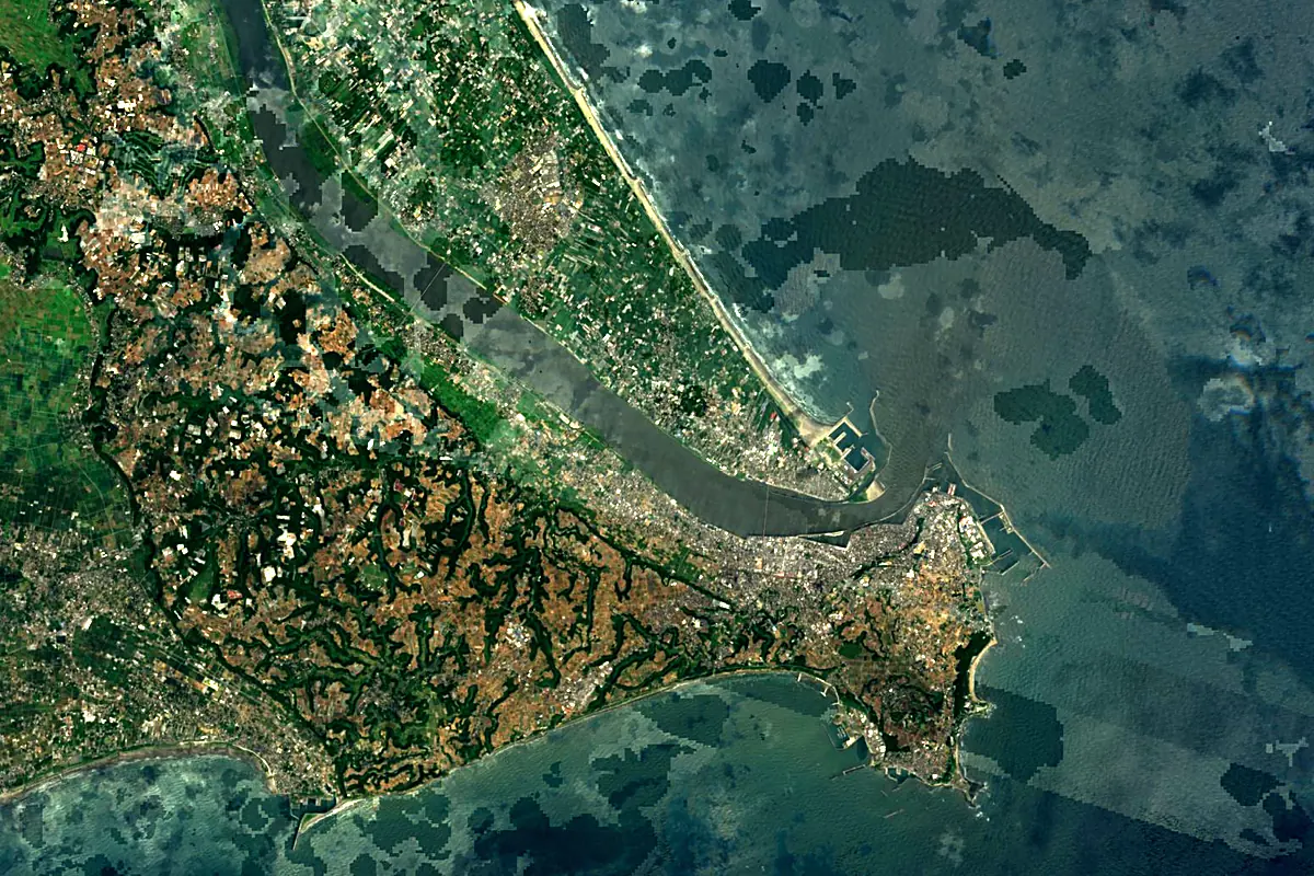
Sentinel-2 cloudless 2016 by EOX IT Services GmbH (contains modified Copernicus Sentinel data 2016), CC BY 4.0. The glowing line is the river as drawn by RiverATLAS.
Photos
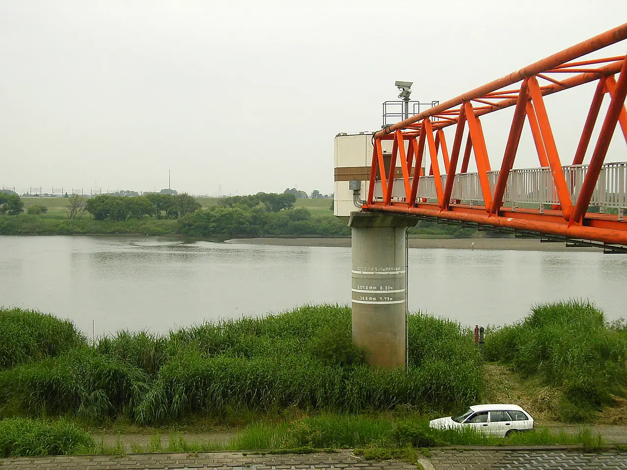
Tone River in pictures
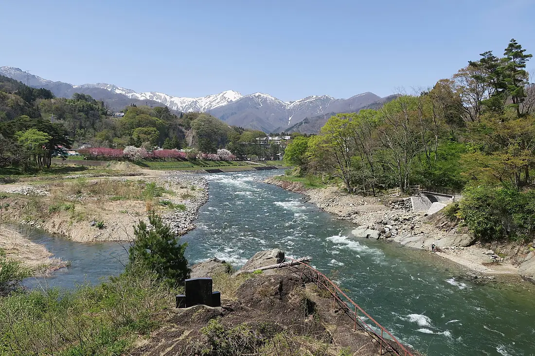
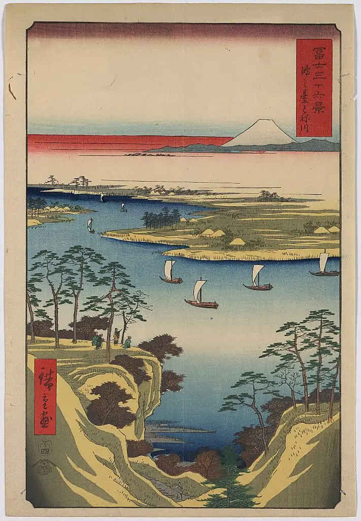
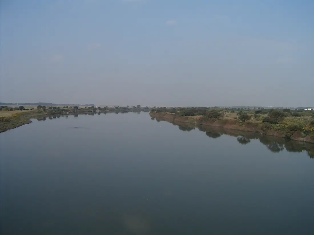
Tributaries
Where it flows, and what flows into it
Tributaries (19)
Also: Agatsuma River, Watarase River, Kinu-gawa River, Karasu River, Katashina River, Kurobe River, Koyama River, Kokai River, Naramata River, Akaya River, Ono River, Hirose River, Tega River, Nagato River, Fuku River, Yubiso River, Numao River, Osuka River, Usune River
Nearby
Rivers nearby
Japan173 km30 m³/s86 km awayTama RiverJapan138 km37 m³/s98 km awayFuji RiverJapan128 km63 m³/s209 km awayShinano RiverJapan367 km460 m³/s284 km awayAbukuma RiverJapan239 km67 m³/s256 km awayAgano RiverJapan210 km450 m³/s284 km awayMogami RiverJapan229 km250 m³/s359 km awayNagara RiverJapan166 km120 m³/s377 km awayWhere these numbers come from
| Name, length, places | Wikidata (Q177452) · CC0 |
|---|---|
| Course, profile, basin | RiverATLAS v1.0 (HydroATLAS, Linke et al. 2019) · CC BY 4.0 — followed from the source to the mouth given by Wikidata |
| Flow | WaterGAP (RiverATLAS), 1971–2000 · CC BY 4.0 |
| Climate along the river | WorldClim (RiverATLAS), 1970–2000 · CC BY 4.0 |
| Towns, bridges, dams | Wikidata · CC0; GeoNames · CC BY 4.0 |
| Along the river | © OpenStreetMap contributors · ODbL |
| Images | EOX Sentinel-2 cloudless 2016 · CC BY 4.0; Wikimedia Commons |
| Our other atlases | Cascadyas, Lakeyas, Coastya, Peakyas — Wikidata · CC0; © OpenStreetMap contributors · ODbL; GeoNames · CC BY 4.0; HydroLAKES · CC BY 4.0; NOAA OISST |
Every source and licence is on the data sources page.
The family
Do you prefer beaches, lakes, mountains, waterfalls, islands, rivers or canyons?
Same idea, other landscapes: field atlases built on open data, month by month, in seven languages.
beaches Find your beach: sea temperature, sun and swimming month by month.Visit lakes
 Every lake on Earth: water temperature, ice, depth and the shore.Coming soonVisit mountains
 Every summit in 3D: summit weather, the 0 °C line, huts and trails.Visit waterfalls
 Every waterfall: height, flow month by month and when it roars.Coming soonVisit
  islands
 Every island from the sea up: size, sea temperature, ferries and 3D.Coming soonVisit
  rivers
 Every river from source to sea: the journey, the flow and the basin in numbers.You are here
 canyons
 Every canyon cut to scale: depth to the floor, rim and floor temperatures, trails and viewpoints.Coming soonVisit