River
Vardar
388 km from source to mouth · Greece and North Macedonia.
 Greece and North MacedoniaFlows into Aegean Sea2nd longest in Greece
In numbers
Length
388km
Average flow
180m³/s
Basin
24,438km²
Drop
571m
from 570 m to -1 m
Countries
2
The journey
From source to mouth
388 km of river and 41 stops on the way: 27 towns and cities on its banks, dams, bridges and the tributaries that feed it.
- 0 kmŠar Mountainsat 570 m
- 0 kmVrutok5,999 people
- 4 kmBridge of Democracy
- 5 kmGostivar50,974 people
- 5 kmDolna Banjica10,147 people
- 14 kmForino3,637 people
- 17 kmCegrane12,523 people
- 31 kmČelopek4,731 people
- 33 kmBrvenica16,267 people
- 40 kmZelino25,422 people
- 40 kmPenatributary
- 56 kmJegunovce7,313 people
- 85 kmKondovo11,656 people
- 86 kmSaraj25,379 people
- 88 kmTreskatributary
- 89 kmGjorče Petro41,000 people
- 92 kmLepenactributary
- 97 kmČair64,773 people
- 98 kmStone Bridge in Skopje
- 98 kmSkopje422,540 people
- 98 kmArt Bridge
- 107 kmKisela Voda58,216 people
- 107 kmMarko's Rivertributary
- 116 kmStudeničani18,219 people
- 120 kmPetrovec8,298 people
- 125 kmZelenikovo4,020 people
- 138 kmPčinjatributary
- 150 kmLake Mladost0.5 km²
- 157 kmVeles57,873 people
- 161 kmTopolkatributary
- 163 kmBabuna Rivertributary
- 182 kmBregalnicatributary
- 187 kmGradsko3,737 people
- 196 kmCrnatributary
- 217 kmNegotino19,515 people
- 239 kmBošavatributary
- 240 kmDemir Kapija4,451 people
- 293 kmGevgelija20,664 people
- 317 kmAxioúpoli4,794 people
- 317 kmPolýkastro7,064 people
- 369 kmChalástra9,066 people
- 371 kmKýmina3,210 people
- 388 kmAegean Seaat -1 m
Water level along the river (RiverATLAS; the height is exaggerated). Towns: GeoNames and Wikidata; bridges, dams and tributaries: Wikidata.
River in North Macedonia and Greece
At the mouth it carries 183 m³/s on average: an Olympic pool every 14 seconds. It drops from 570 m to -1 m, 1.5 m per kilometre on average. Its basin covers 24,438 km², about the size of MK. 2.0 million people live in it. Highest water: from December to January; lowest: from August to September. Dams and reservoirs hold back a large share of its water (22% of a year's flow).
Where to start
- SkopjeLargest city on its banks · 422,540 people
- Skopje International Airport (SKP)Nearest airport with scheduled flights, 16 km from the cityCar hire at SKP airport (Ilinden)Discover Cars · Affiliate link↗
- From June to OctoberThe best months to visit
Vardar, month by month
Highest water: from December to January
Lowest water: from August to September. Best months to visit: from June to October.
From about 53 m³/s in the lowest month to 390 m³/s in the highest. An estimate: the monthly flow is modelled from the lowest and highest months of WaterGAP (RiverATLAS, 1971–2000) and the rain and snow along the river (WorldClim). Dams change the real rhythm. The chip is the average air temperature; below it, the month's rain.
Plan the trip
Plan the trip: boat trips, a bed by the river, a car
Some links above are affiliate links: if you book through them we may earn a commission, at no extra cost to you. It never changes what the data on this page says.
The basin
Vardar: the basin in numbers
24,503 km² of land send their water to this river. This is what lives on it.
- 2.0millionpeople live in the basin
- 82/km²people per km²
- 749maverage altitude of the basin
- 601mmof rain a year (basin average)
- 10.2°Caverage air temperature
- 5%protected areas
- 0.3%covered by lakes
- 1.3km³held in reservoirs
What covers the basin
- 27% Forest
- 27% Cropland
- 24% Pasture
- 4% Towns and cities
RiverATLAS (HydroATLAS v1.0, CC BY 4.0): land cover, people, protected areas, glaciers and dams over the whole basin upstream of the mouth.
Along the river
Vardar: what you find on the way
- 18Weirs
- 1Locks
- 1Waterfalls
- 2River beaches
From OpenStreetMap, within 2.0 km of the river. Not mapped is not the same as not there.
Cross-checked with our atlases
Vardar in our other atlases
What our sister atlases know about the waterfalls on this river, the lakes it flows through, the beaches at its mouth, the mountains where it rises and the islands off its mouth.
 1lake on its wayLakeyas
 7mountains at the sourcePeakyas
Lakes and reservoirs (1)
Lakes it flows through, by Lakeyas
- Lake Mladostkm 1310.5km²
Lakeyas is coming soonOpen Lakeyas ↗
Mountains at the source (7)
Within 15 km of the source, by Peakyas
- Morava7.6 km away2,147m
- Aramiski Kamen13 km away1,746m
- Brina13 km away1,121m
- Mala Kaljaja10 km away959m
- Srbinovska Krasta12 km away902m
- Rusino5.8 km away786m
- Zabel9.9 km away561m
From space
The source and the mouth, seen from orbit
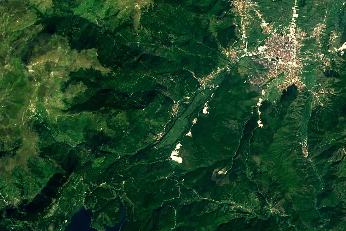
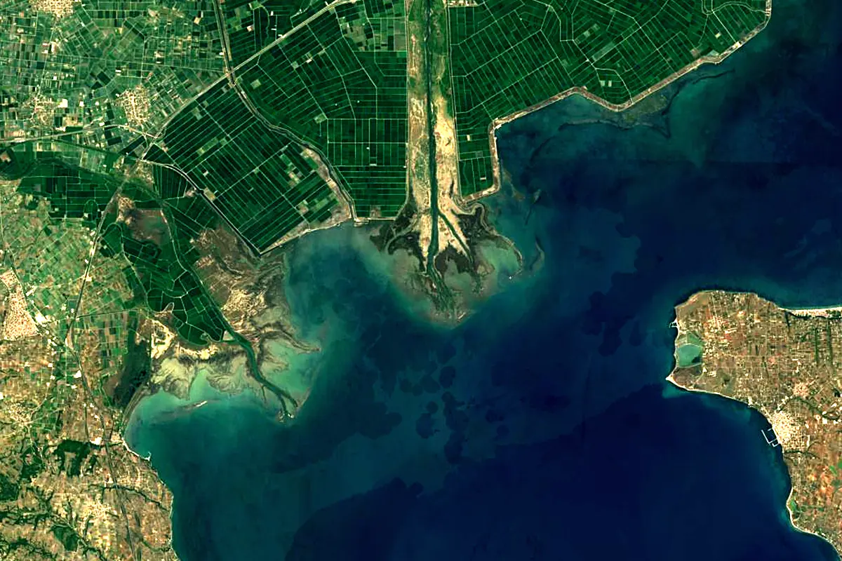
Sentinel-2 cloudless 2016 by EOX IT Services GmbH (contains modified Copernicus Sentinel data 2016), CC BY 4.0. The glowing line is the river as drawn by RiverATLAS.
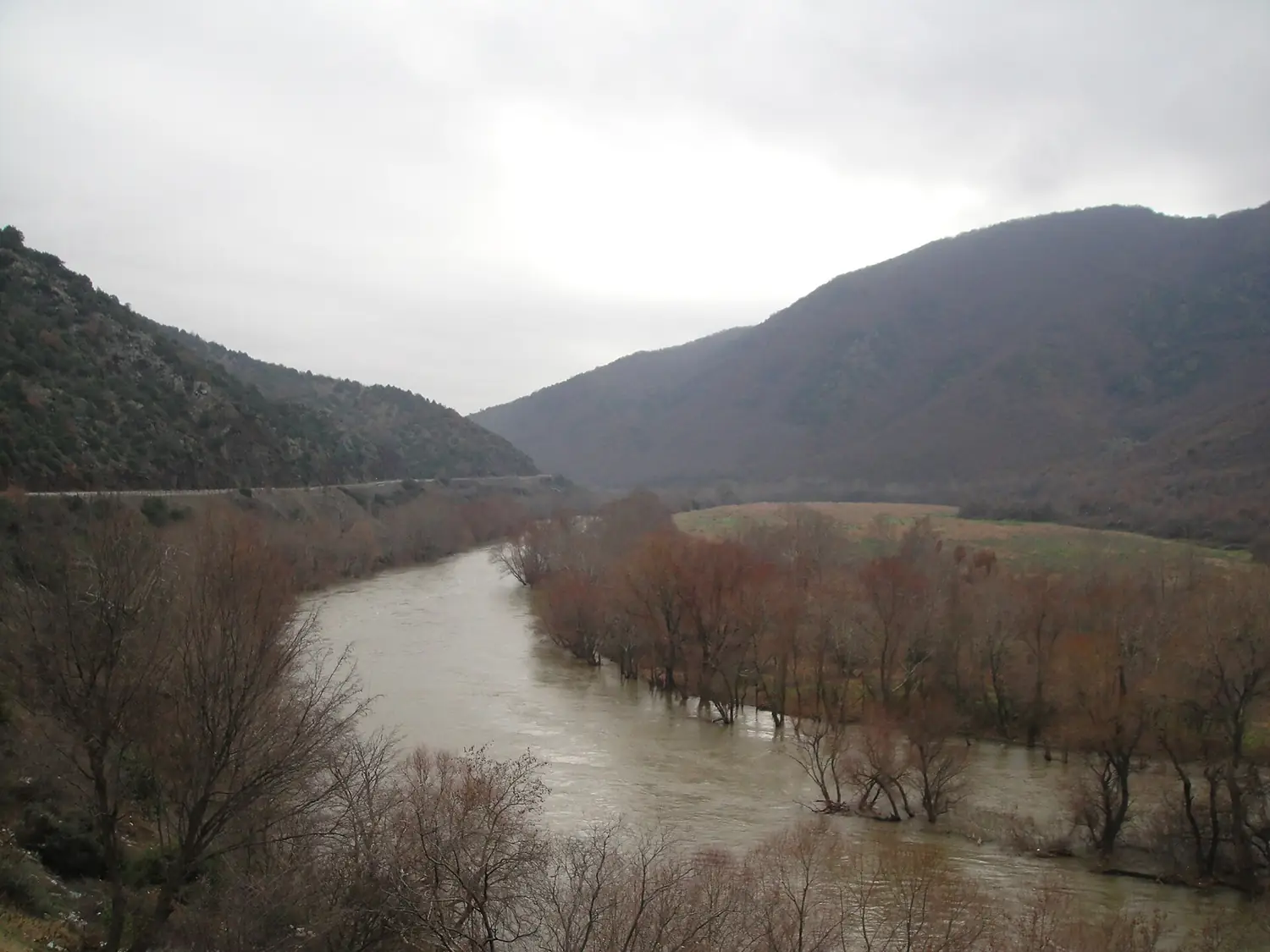
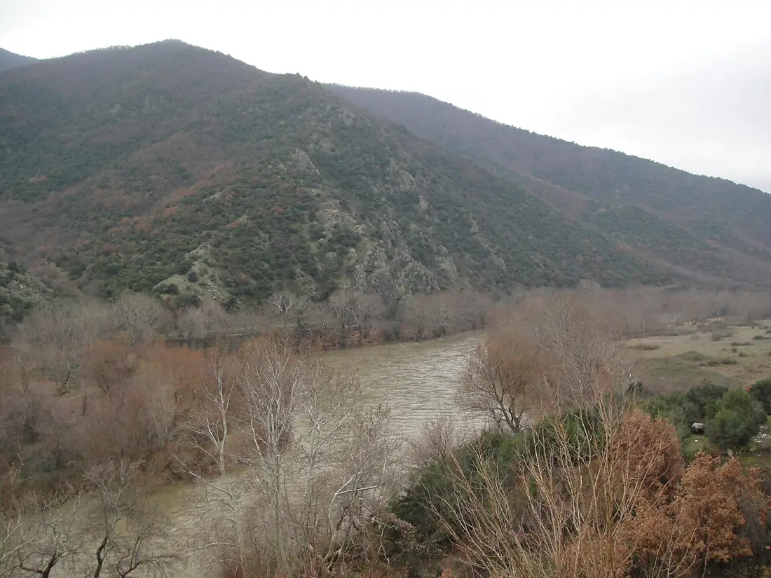
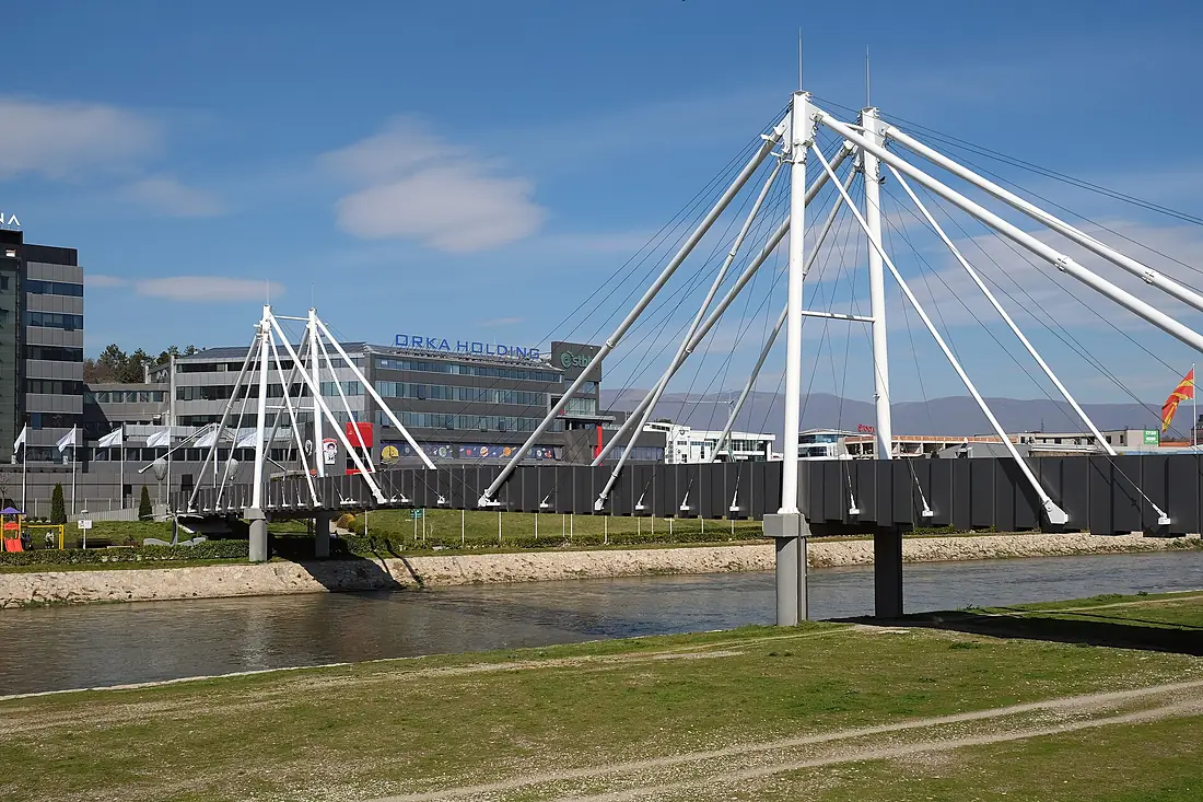
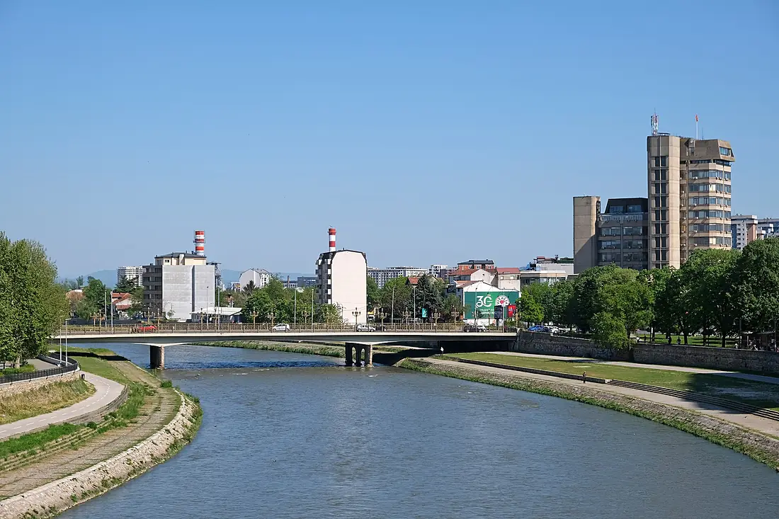
Tributaries
Where it flows, and what flows into it
Tributaries (25)
North Macedonia225 km28 m³/sjoins at km 159CrnaNorth Macedonia207 km37 m³/sjoins at km 171TreskaNorth Macedonia132 km2,300 m³/sjoins at km 77PčinjaNorth Macedonia128 km14 m³/sjoins at km 121Also: Lepenac, Pena, Babuna River, Kadina River, Serava, Anska Reka, Topolka, Bošava, Došnica, Marko's River, Rakita River, Luda Mara, Mega Rema, Belovisjka Reka, Timjanik River, Stara Reka, Bogovinjska river, Seirios potamos, Kovanska River, Konska River, Železna Reka
Nearby
Rivers nearby
Greece297 km56 m³/s6 km awayPineiosGreece216 km67 m³/s70 km awayStrumaGreece415 km80 m³/s102 km awayStrumica Bulgaria114 km100 m³/s115 km awayCrnaNorth Macedonia207 km37 m³/s131 km awayBregalnicaNorth Macedonia225 km28 m³/s139 km awayDospatGreece97 km20 m³/s151 km awayNestosGreece230 km40 m³/s181 km away
Where these numbers come from
| Name, length, places | Wikidata (Q189596) · CC0 |
|---|---|
| Course, profile, basin | RiverATLAS v1.0 (HydroATLAS, Linke et al. 2019) · CC BY 4.0 — followed from the source to the mouth given by Wikidata |
| Flow | WaterGAP (RiverATLAS), 1971–2000 · CC BY 4.0 |
| Climate along the river | WorldClim (RiverATLAS), 1970–2000 · CC BY 4.0 |
| Towns, bridges, dams | Wikidata · CC0; GeoNames · CC BY 4.0 |
| Along the river | © OpenStreetMap contributors · ODbL |
| Images | EOX Sentinel-2 cloudless 2016 · CC BY 4.0; Wikimedia Commons |
| Our other atlases | Lakeyas, Peakyas — Wikidata · CC0; © OpenStreetMap contributors · ODbL; GeoNames · CC BY 4.0; HydroLAKES · CC BY 4.0; NOAA OISST |
Every source and licence is on the data sources page.
The family
Do you prefer beaches, lakes, mountains, waterfalls, islands, rivers or canyons?
Same idea, other landscapes: field atlases built on open data, month by month, in seven languages.
 beaches
 Find your beach: sea temperature, sun and swimming month by month.Visit lakes
 Every lake on Earth: water temperature, ice, depth and the shore.Coming soonVisit mountains
 Every summit in 3D: summit weather, the 0 °C line, huts and trails.Visit
  waterfalls
 Every waterfall: height, flow month by month and when it roars.Coming soonVisit
  islands
 Every island from the sea up: size, sea temperature, ferries and 3D.Coming soonVisit
  rivers
 Every river from source to sea: the journey, the flow and the basin in numbers.You are here
 canyons
 Every canyon cut to scale: depth to the floor, rim and floor temperatures, trails and viewpoints.Coming soonVisit