River
Vaupés River
1,050 km from source to mouth · Brazil and Colombia.

 Brazil and ColombiaFlows into Rio Negro
In numbers
Length
1,050km
Average flow
4,300m³/s
Basin
64,890km²
Drop
134m
from 203 m to 69 m
Countries
2
The journey
From source to mouth
1,050 km of river and 11 stops on the way: 1 towns and cities on its banks, dams, bridges and the tributaries that feed it.
- 0 kmSourceat 203 m
- 456 kmMitú29,850 people
- 544 kmCachoeira Pacu
- 547 kmCachoeira Ponta de Bacaba
- 566 kmCachoeira Periquito
- 575 kmCachoeira Tiririca
- 607 kmCachoeira Matapi
- 616 kmRaudal Arara
- 618 kmRaudal Panapana
- 703 kmPapurí Rivertributary
- 706 kmCachoeira Araripirá
- 827 kmCachoeira Pinupiraí
- 1,050 kmRio Negroat 69 m
Water level along the river (RiverATLAS; the height is exaggerated). Towns: GeoNames and Wikidata; bridges, dams and tributaries: Wikidata.
Tributary of the Rio Negro in South America.
At the mouth it carries 4,335 m³/s on average: 1.7 Olympic pools every second. It drops from 203 m to 69 m, 0.1 m per kilometre on average. Its basin covers 64,890 km², about the size of LV. 58,000 people live in it. Highest water: from May to August. No large dam holds it back: it is one of the world's free-flowing rivers.
Where to start
- MitúLargest city on its banks · 29,850 people
- Fabio Alberto Leon Bentley Airport (MVP)Nearest airport with scheduled flights, 0 km from the cityCar hire at BVB airport (Boa Vista)Discover Cars · Affiliate link↗
- On the water4 ferry piers, marinas, boat rentals and boat ramps along the river (OpenStreetMap)
- Kayak and canoe3 put-ins and rapids mapped (OpenStreetMap)
- From May to SeptemberThe best months to visit
Vaupés River, month by month
Highest water: from May to August
Best months to visit: from May to September.
From about 2,900 m³/s in the lowest month to 6,000 m³/s in the highest. An estimate: the monthly flow is modelled from the lowest and highest months of WaterGAP (RiverATLAS, 1971–2000) and the rain and snow along the river (WorldClim). Dams change the real rhythm. The chip is the average air temperature; below it, the month's rain.
Plan the trip
Plan the trip: boat trips, a bed by the river, a car
Some links above are affiliate links: if you book through them we may earn a commission, at no extra cost to you. It never changes what the data on this page says.
The basin
Vaupés River: the basin in numbers
64,370 km² of land send their water to this river. This is what lives on it.
- 58,000people live in the basin
- 1/km²people per km²
- 183maverage altitude of the basin
- 3,186mmof rain a year (basin average)
- 25.9°Caverage air temperature
- 77%protected areas
What covers the basin
- 95% Forest
- 1% Cropland
- 3% Pasture
RiverATLAS (HydroATLAS v1.0, CC BY 4.0): land cover, people, protected areas, glaciers and dams over the whole basin upstream of the mouth.
Along the river
Vaupés River: what you find on the way
- 22WaterfallsRaudal Pucarón (Yuruparí), Raudal de Pucarón, Raudal and 19 more
- 3Rapids
- 1Boat ramps
- 1Ferry piersPuerto Calvo
- 2MarinasPuerto de la Gobernación, Guarda Fluvial
- 1River beachesIsla Tocunare
From OpenStreetMap, within 2.3 km of the river. Not mapped is not the same as not there.
Cross-checked with our atlases
Vaupés River in our other atlases
What our sister atlases know about the waterfalls on this river, the lakes it flows through, the beaches at its mouth, the mountains where it rises and the islands off its mouth.
 9waterfalls on the riverCascadyas
Waterfalls (9)
On the river, by Cascadyas
- Cachoeira Ponta de Bacabakm 564
- Cachoeira Periquitokm 584
- Cachoeira Tiriricakm 593
- Cachoeira Matapikm 626
- Raudal Ararakm 636
- Raudal Panapanakm 637
- Cachoeira Araripirákm 729
- Cachoeira Pinupiraíkm 853
1 more on CascadyasCascadyas is coming soonOpen Cascadyas ↗
From space
The source and the mouth, seen from orbit
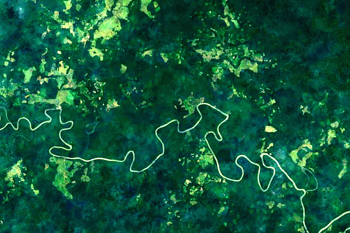
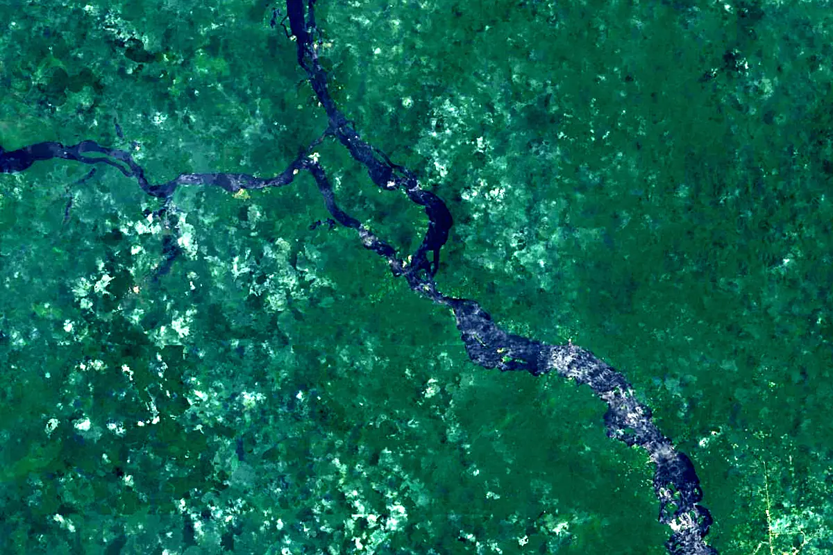
Sentinel-2 cloudless 2016 by EOX IT Services GmbH (contains modified Copernicus Sentinel data 2016), CC BY 4.0. The glowing line is the river as drawn by RiverATLAS.
Photos
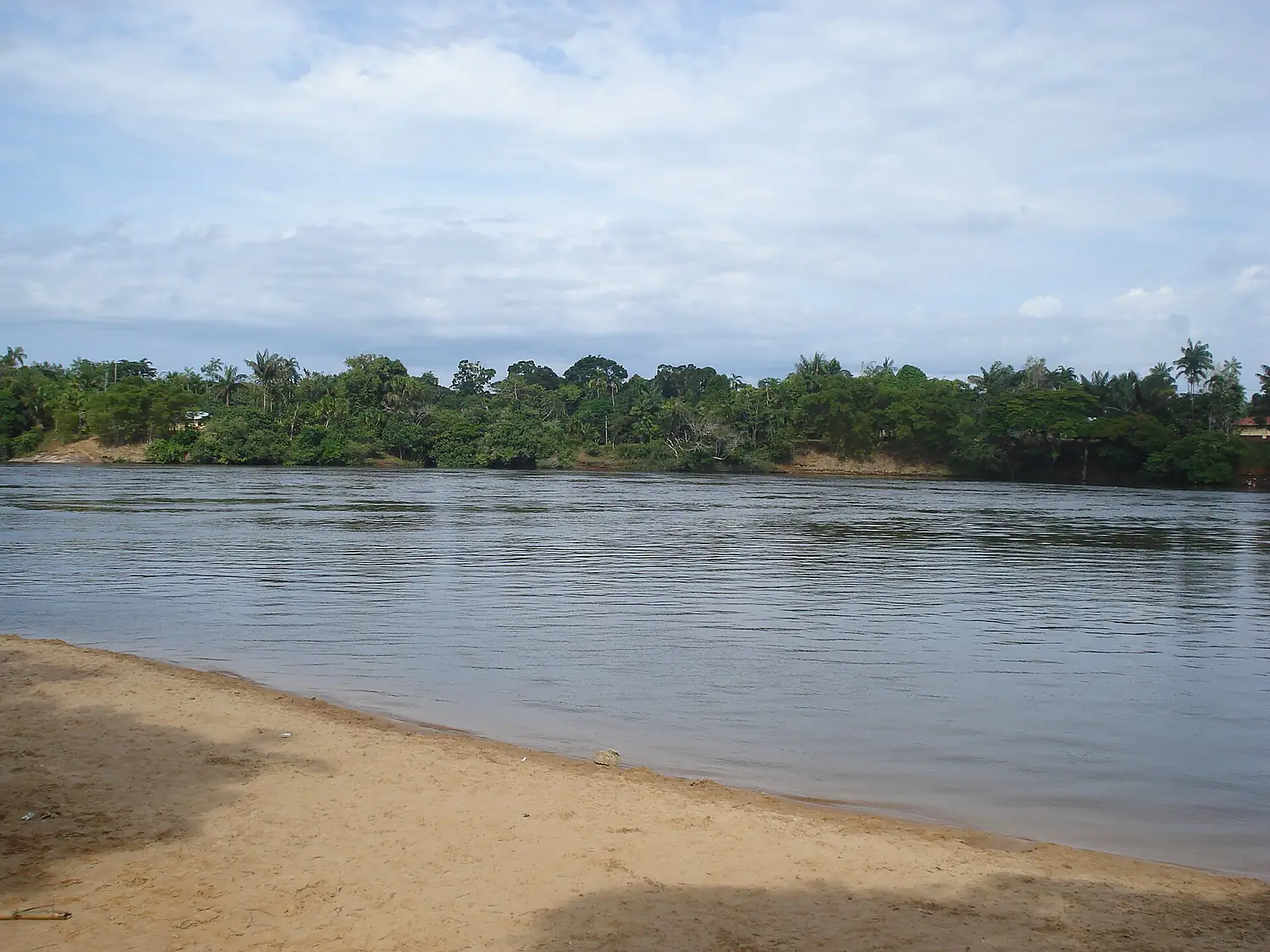
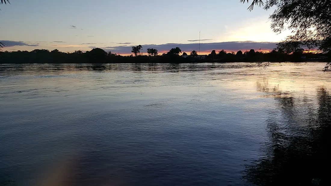
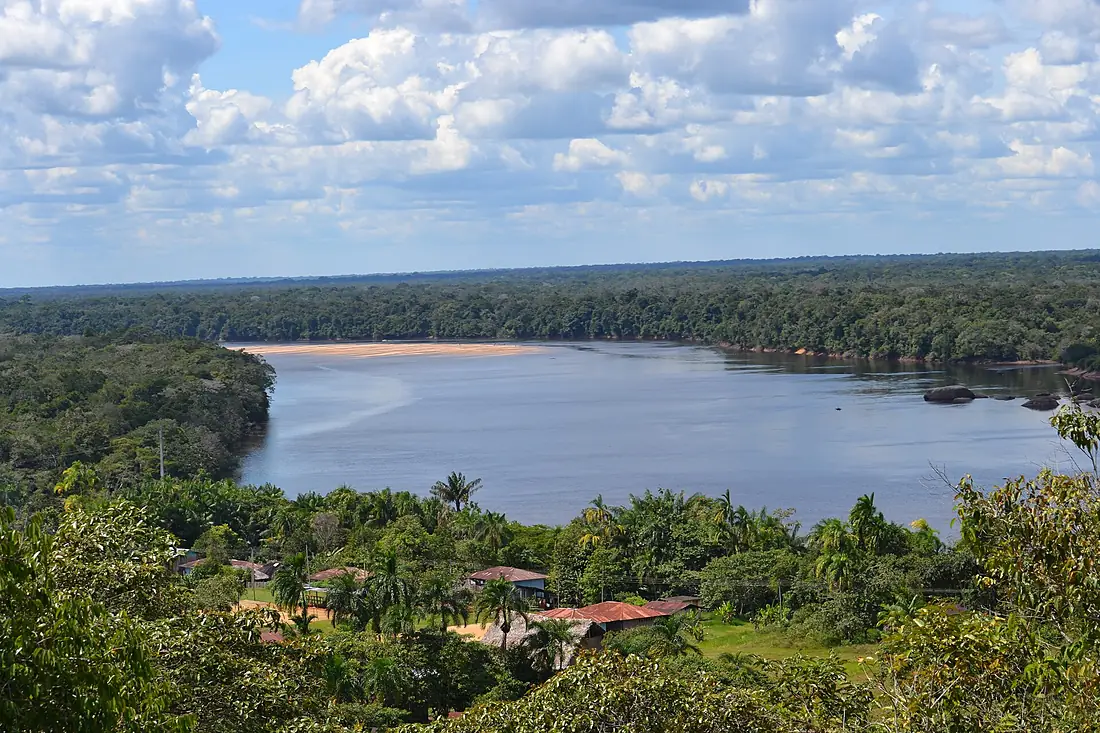
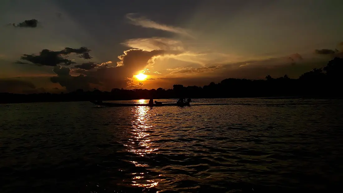
Vaupés River in pictures
Tributaries
Where it flows, and what flows into it
It flows into
Rio NegroBrazil2,250 km30,000 m³/sTributaries (2)
Also: Papurí River, Tiquié River
In the same basin
Brazil6,400 km209,000 m³/sMadeira RiverBrazil1,450 km31,200 m³/sMarañón River Peru1,737 km16,700 m³/sUcayali RiverPeru1,460 km12,600 m³/sJapurá RiverBrazil2,820 km13,900 m³/sXingu RiverBrazil1,640 km9,700 m³/sMamoré RiverBrazil1,930 km11,600 m³/sJuruá RiverBrazil3,100 km4,800 m³/sTapajós RiverBrazil1,930 km13,000 m³/sPutumayo RiverBrazil1,610 km7,000 m³/s
Nearby
Rivers nearby
 Venezuela326 km2,400 m³/s219 km awayJuruá RiverBrazil3,100 km4,800 m³/s341 km awayPutumayo RiverBrazil1,610 km7,000 m³/s361 km awayJutai RiverBrazil1,200 km2,400 m³/s314 km awayJapurá RiverBrazil2,820 km13,900 m³/s453 km awayGuaviare RiverColombia1,497 km8,200 m³/s452 km awayVentuari RiverVenezuela520 km2,200 m³/s440 km away
Where these numbers come from
| Name, length, places | Wikidata (Q14290) · CC0 |
|---|---|
| Course, profile, basin | RiverATLAS v1.0 (HydroATLAS, Linke et al. 2019) · CC BY 4.0 — followed along the river network from the point given by Wikidata |
| Flow | WaterGAP (RiverATLAS), 1971–2000 · CC BY 4.0 |
| Climate along the river | WorldClim (RiverATLAS), 1970–2000 · CC BY 4.0 |
| Towns, bridges, dams | Wikidata · CC0; GeoNames · CC BY 4.0 |
| Along the river | © OpenStreetMap contributors · ODbL |
| Images | EOX Sentinel-2 cloudless 2016 · CC BY 4.0; Wikimedia Commons |
| Our other atlases | Cascadyas — Wikidata · CC0; © OpenStreetMap contributors · ODbL; GeoNames · CC BY 4.0; HydroLAKES · CC BY 4.0; NOAA OISST |
Every source and licence is on the data sources page.
The family
Do you prefer beaches, lakes, mountains, waterfalls, islands, rivers or canyons?
Same idea, other landscapes: field atlases built on open data, month by month, in seven languages.
 beaches
 Find your beach: sea temperature, sun and swimming month by month.Visit
  lakes
lakes Every lake on Earth: water temperature, ice, depth and the shore.Coming soonVisit
  mountains
 Every summit in 3D: summit weather, the 0 °C line, huts and trails.Visit waterfalls
 Every waterfall: height, flow month by month and when it roars.Coming soonVisit
  islands
 Every island from the sea up: size, sea temperature, ferries and 3D.Coming soonVisit
  rivers
 Every river from source to sea: the journey, the flow and the basin in numbers.You are here
 canyons
 Every canyon cut to scale: depth to the floor, rim and floor temperatures, trails and viewpoints.Coming soonVisit