River
Aller
263 km from source to mouth · Germany.
 GermanyFlows into Weser
In numbers
Length
263km
Average flow
120m³/s
Basin
15,744km²
Drop
100m
from 108 m to 8 m
Country
1
The journey
From source to mouth
263 km of river and 68 stops on the way: 46 towns and cities on its banks, dams, bridges and the tributaries that feed it.
- 0 kmEggenstedtat 108 m
- 0 kmEilsleben3,509 people
- 0 kmWefensleben1,632 people
- 0 kmUmmendorf929 people
- 0 kmOvelgünne451 people
- 0 kmEggenstedt282 people
- 6 kmMorsleben354 people
- 43 kmOebisfelde7,341 people
- 46 kmGrafhorst1,092 people
- 53 kmRühen4,452 people
- 59 kmVorsfelde12,389 people
- 62 kmWolfsburg129,813 people
- 69 kmWarmenau516 people
- 71 kmWeyhausen2,798 people
- 75 kmOsloß2,195 people
- 77 kmTankumsee0.6 km²
- 81 kmDannenbüttel1,708 people
- 82 kmSassenburg11,869 people
- 83 kmNeudorf-Platendorf2,743 people
- 85 kmMühlenriedetributary
- 85 kmSassenburg-Triangel2,102 people
- 90 kmGifhorn42,816 people
- 92 kmIsetributary
- 104 kmGilde84 people
- 105 kmEttenbüttel665 people
- 106 kmDieckhorst720 people
- 108 kmGerstenbüttel185 people
- 111 kmMüden (Aller)5,165 people
- 112 kmMüden5,621 people
- 115 kmFlettmar907 people
- 120 kmOkertributary
- 120 kmLanglingen2,145 people
- 131 kmWienhausen3,956 people
- 136 kmBurgdorfer Auetributary
- 138 kmAltencelle5,000 people
- 141 kmLachtetributary
- 143 kmPfennigbrücke
- 144 kmCelle66,930 people
- 144 kmWalzenwehr
- 144 kmHafenstraßenbrücke
- 146 kmAller railway bridge
- 147 kmFuhsetributary
- 153 kmHambühren10,110 people
- 159 kmOldau barrage
- 159 kmOldau power station
- 161 kmÖrtzetributary
- 162 kmWinsen12,838 people
- 162 kmWinsen an der Aller12,720 people
- 172 kmBannetze weir and lock
- 174 kmWietze7,363 people
- 188 kmBuchholz (Aller)2,152 people
- 190 kmEssel1,222 people
- 192 kmSchwarmstedt5,777 people
- 197 kmLeinetributary
- 197 kmGrethem659 people
- 198 kmEickeloh779 people
- 202 kmHodenhagen3,076 people
- 204 kmAhlden1,630 people
- 217 kmBöhmetributary
- 217 kmMeißetributary
- 224 kmFrankenfeld506 people
- 228 kmRethem2,327 people
- 229 kmHäuslingen783 people
- 230 kmAlpetributary
- 243 kmDörverden8,584 people
- 244 kmLehrdetributary
- 249 kmGohbachtributary
- 252 kmVerden railway bridge
- 255 kmVerden27,273 people
- 263 kmWeserat 8 m
Water level along the river (RiverATLAS; the height is exaggerated). Towns: GeoNames and Wikidata; bridges, dams and tributaries: Wikidata.
River in Germany, sidestream of the river Weser
At the mouth it carries 116 m³/s on average: an Olympic pool every 22 seconds. It drops from 108 m to 8 m, 0.4 m per kilometre on average. Its basin covers 15,744 km², about the size of TL. 3.4 million people live in it. Highest water: from December to February. Its dams hold back little of its water (4.0% of a year's flow).
Where to start
- WolfsburgLargest city on its banks · 129,813 people
- Hannover Airport (HAJ)Nearest airport with scheduled flights, 75 km from the cityCar hire at HAJ airport (Hannover)Discover Cars · Affiliate link↗
- On the water57 ferry piers, marinas, boat rentals and boat ramps along the river (OpenStreetMap)
- Kayak and canoe2 put-ins and rapids mapped (OpenStreetMap)
- From June to SeptemberThe best months to visit
Aller, month by month
Highest water: from December to February
Best months to visit: from June to September.
From about 60 m³/s in the lowest month to 260 m³/s in the highest. An estimate: the monthly flow is modelled from the lowest and highest months of WaterGAP (RiverATLAS, 1971–2000) and the rain and snow along the river (WorldClim). Dams change the real rhythm. The chip is the average air temperature; below it, the month's rain.
Plan the trip
Plan the trip: boat trips, a bed by the river, a car
Some links above are affiliate links: if you book through them we may earn a commission, at no extra cost to you. It never changes what the data on this page says.
The basin
Aller: the basin in numbers
16,034 km² of land send their water to this river. This is what lives on it.
- 3.4millionpeople live in the basin
- 211/km²people per km²
- 137maverage altitude of the basin
- 695mmof rain a year (basin average)
- 8.4°Caverage air temperature
- 34%protected areas
- 0.2%covered by lakes
- 0.2km³held in reservoirs
What covers the basin
- 21% Forest
- 41% Cropland
- 7% Pasture
- 11% Towns and cities
RiverATLAS (HydroATLAS v1.0, CC BY 4.0): land cover, people, protected areas, glaciers and dams over the whole basin upstream of the mouth.
Along the river
Aller: what you find on the way
- 75WeirsAlte Aller-Wehr am Allerkanal, Aller-Wehr am Allerkanal, Wehranlage and 72 more
- 4LocksSchleuse Oldau, Schleuse Bannetze, Schleuse Marklendorf and 1 more
- 1WaterfallsBachlauf
- 1RapidsSohlgleite
- 1Canoe put-ins
- 26Boat rampsCelle, Pfennigbrücke, WSC Unteraller, Oldauer Boots Club and 23 more
- 4Ferry piersGierfähre Eickeloh, Fähranleger and 2 more
- 25MarinasHoffmannstadt Fallersleben e.V., Wolfsburger Yacht Club Allertal, Wolfsburger Yacht Club Allertal e.V. and 22 more
- 1River beachesEilter Badesee
From OpenStreetMap, within 1.9 km of the river. Not mapped is not the same as not there.
Cross-checked with our atlases
Aller in our other atlases
What our sister atlases know about the waterfalls on this river, the lakes it flows through, the beaches at its mouth, the mountains where it rises and the islands off its mouth.
 1lake on its wayLakeyas
 37mountains at the sourcePeakyas
Lakes and reservoirs (1)
Lakes it flows through, by Lakeyas
- Tankumseekm 63 · 17 m deep0.6km²
Lakeyas is coming soonOpen Lakeyas ↗
Mountains at the source (37)
Within 15 km of the source, by Peakyas
- Flechtingen Hills10 km away179m
- Butterberg8.6 km away175m
- P.1806.4 km away180m
- Gehl-Berge13 km away
- Sankt Annen-Berg13 km away
- Zieseberge4.5 km away
- Wendorfer Berg7.5 km away
- Wellen-Berg13 km away
29 more on PeakyasOpen Peakyas ↗
From space
The source and the mouth, seen from orbit
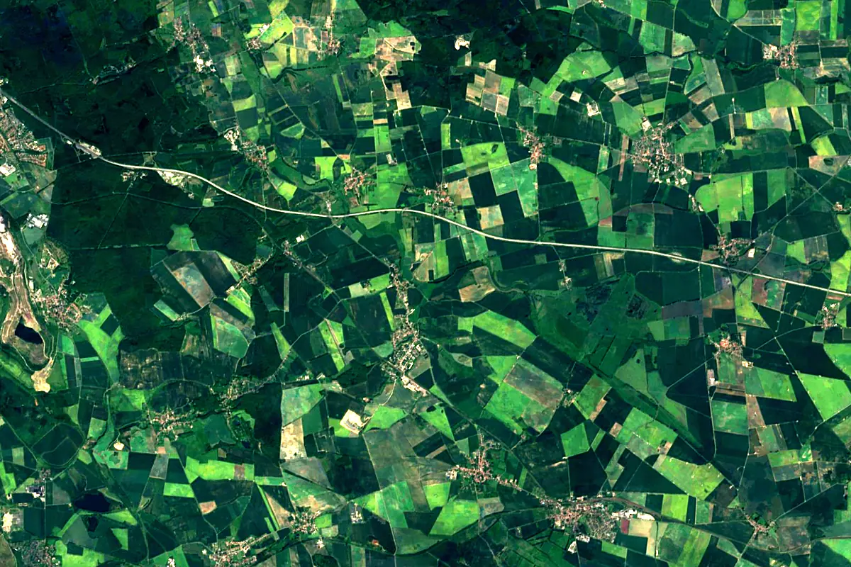
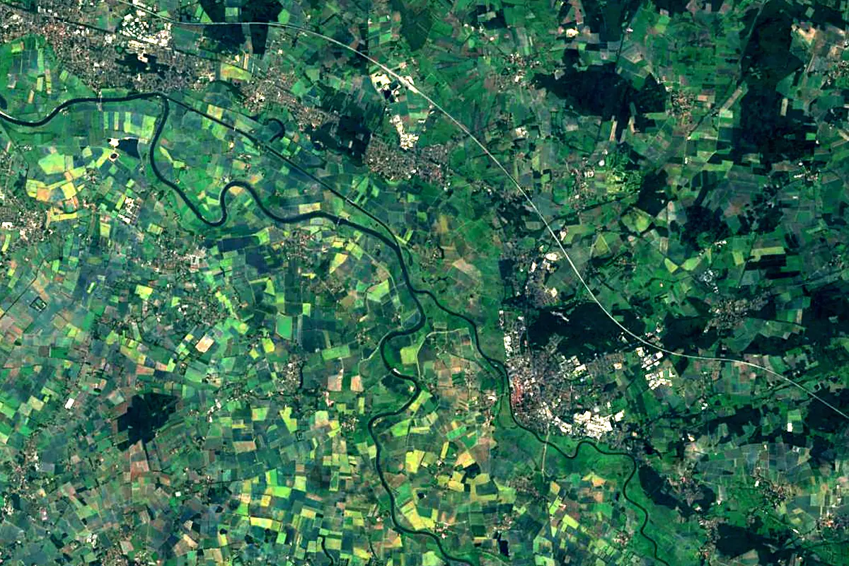
Sentinel-2 cloudless 2016 by EOX IT Services GmbH (contains modified Copernicus Sentinel data 2016), CC BY 4.0. The glowing line is the river as drawn by RiverATLAS.
Photos
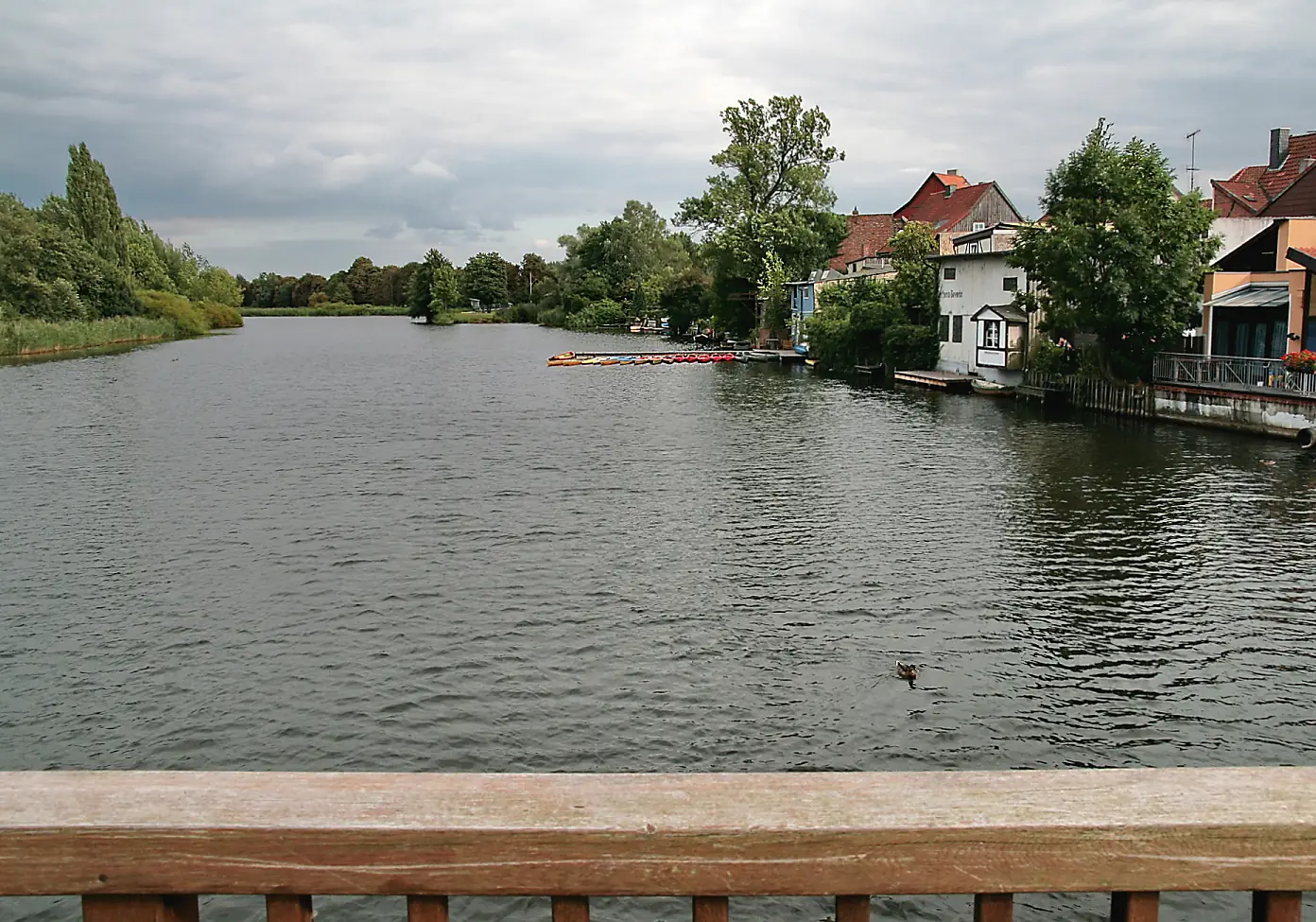
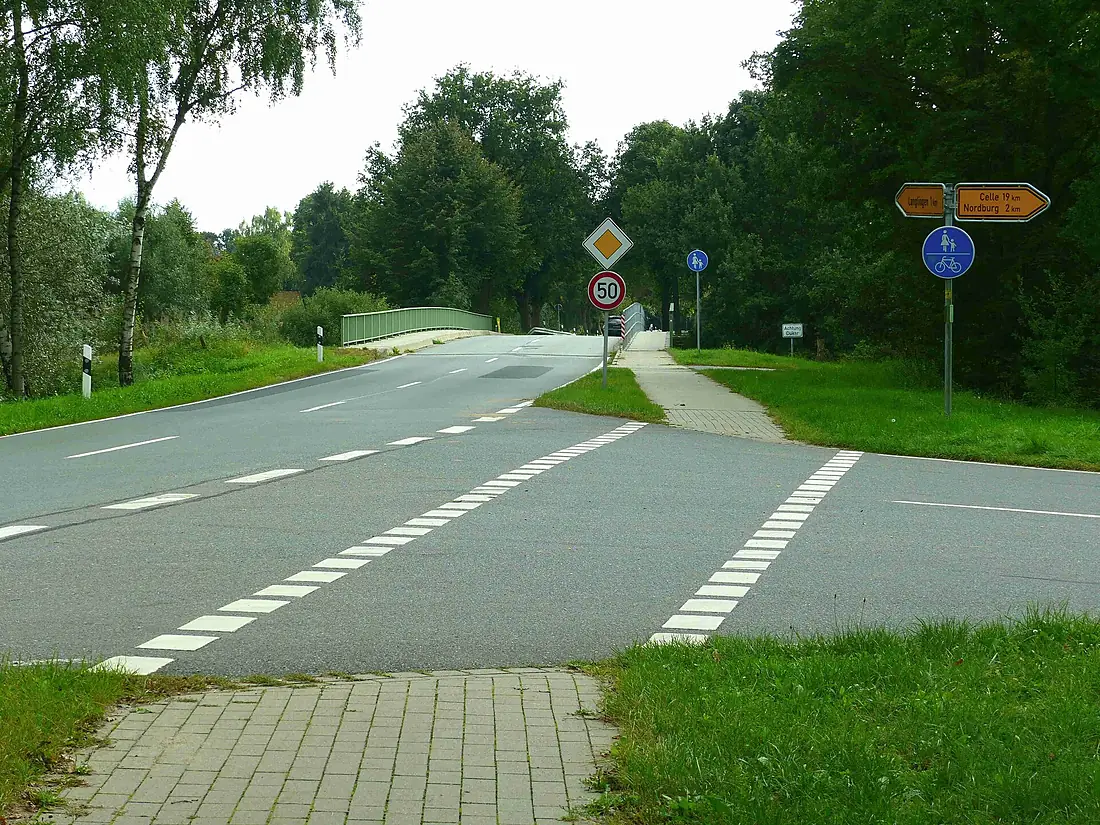
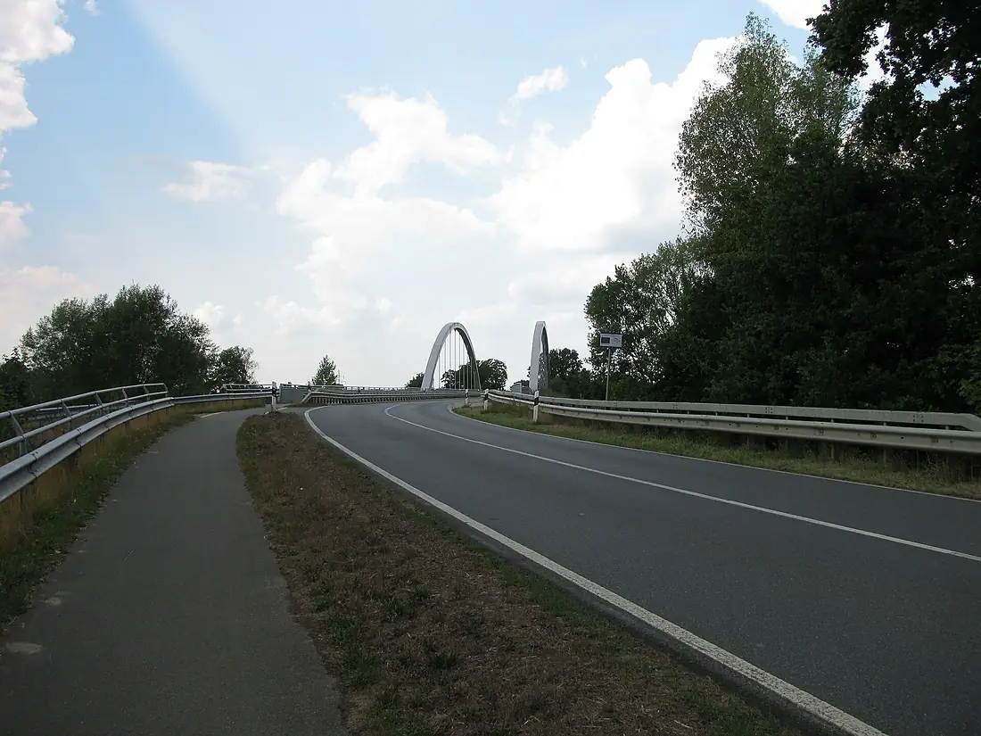
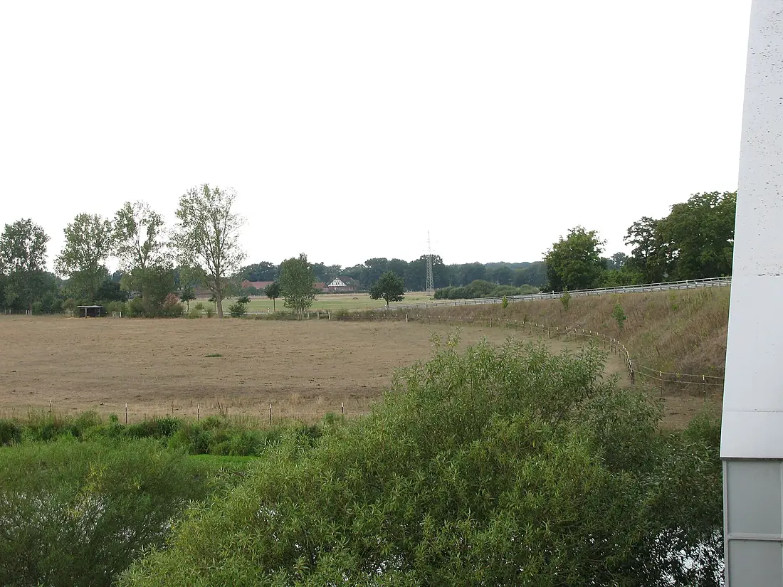
Aller in pictures
Tributaries
Where it flows, and what flows into it
It flows into
WeserGermany451 km330 m³/sTributaries (27)
Also: Oker, Fuhse, Böhme, Örtze, Ise, Wietze, Gohbach, Lehrde, Alpe, Lachte, Meiße, Wölpe, Burgdorfer Aue, Halsebach, Kleine Aller, Alte Aller, Bruchbach (Aller), Fuhsekanal, Mühlenriede, Viehmoorgraben, Vollbütteler Riede, Wipperaller, Spetze, Rötgesbütteler Riede
Nearby
Rivers nearby
Where these numbers come from
| Name, length, places | Wikidata (Q1967803) · CC0 |
|---|---|
| Course, profile, basin | RiverATLAS v1.0 (HydroATLAS, Linke et al. 2019) · CC BY 4.0 — followed along the river network from the point given by Wikidata |
| Flow | WaterGAP (RiverATLAS), 1971–2000 · CC BY 4.0 |
| Climate along the river | WorldClim (RiverATLAS), 1970–2000 · CC BY 4.0 |
| Towns, bridges, dams | Wikidata · CC0; GeoNames · CC BY 4.0 |
| Along the river | © OpenStreetMap contributors · ODbL |
| Images | EOX Sentinel-2 cloudless 2016 · CC BY 4.0; Wikimedia Commons |
| Our other atlases | Lakeyas, Peakyas — Wikidata · CC0; © OpenStreetMap contributors · ODbL; GeoNames · CC BY 4.0; HydroLAKES · CC BY 4.0; NOAA OISST |
Every source and licence is on the data sources page.
The family
Do you prefer beaches, lakes, mountains, waterfalls, islands, rivers or canyons?
Same idea, other landscapes: field atlases built on open data, month by month, in seven languages.
 beaches
 Find your beach: sea temperature, sun and swimming month by month.Visit lakes
 Every lake on Earth: water temperature, ice, depth and the shore.Coming soonVisit mountains
 Every summit in 3D: summit weather, the 0 °C line, huts and trails.Visit
  waterfalls
 Every waterfall: height, flow month by month and when it roars.Coming soonVisit
  islands
 Every island from the sea up: size, sea temperature, ferries and 3D.Coming soonVisit
  rivers
 Every river from source to sea: the journey, the flow and the basin in numbers.You are here
 canyons
 Every canyon cut to scale: depth to the floor, rim and floor temperatures, trails and viewpoints.Coming soonVisit