River
Werra
292 km from source to mouth · Germany.
 GermanyFlows into Weser10th longest in Germany
In numbers
Length
292km
Average flow
51m³/s
Basin
5,497km²
Drop
241m
from 364 m to 123 m
Country
1
The journey
From source to mouth
292 km of river and 47 stops on the way: 25 towns and cities on its banks, dams, bridges and the tributaries that feed it.
- 0 kmSourceat 364 m
- 4 kmTalbrücke Werratal
- 11 kmSchleusingen5,842 people
- 26 kmSchleusetributary
- 28 kmThemar3,083 people
- 39 kmHerpftributary
- 45 kmHaseltributary
- 54 kmMeiningen21,580 people
- 68 kmWasungen3,779 people
- 78 kmWernshausen3,143 people
- 85 kmBreitungen4,394 people
- 90 kmWerrabrücke Immelborn
- 96 kmBad Salzungen16,410 people
- 105 kmTiefenort4,268 people
- 112 kmDorndorf3,045 people
- 114 kmFeldatributary
- 119 kmWerrabrücke Vacha
- 119 kmVacha3,856 people
- 121 kmPhilippsthal4,570 people
- 123 kmpipeline bridge in Unterbreizbach
- 123 kmUnterbreizbach4,102 people
- 126 kmUlstertributary
- 134 kmHeringen7,146 people
- 139 kmDankmarshausen971 people
- 147 kmGerstungen3,865 people
- 147 kmSuhltributary
- 161 kmHerleshausen3,189 people
- 167 kmWerratalbrücke Hörschel
- 167 kmEisenach40,505 people
- 167 kmEltetributary
- 167 kmHörseltributary
- 175 kmWerrabrücke Creuzburg
- 203 kmTreffurt6,206 people
- 215 kmWanfried4,398 people
- 226 kmLake Werratal0.6 km²
- 228 kmEschwege21,191 people
- 229 kmEisenbahnbrücke über die Werra
- 236 kmWehretributary
- 246 kmBad Sooden-Allendorf8,242 people
- 260 kmCastle of Ludwigstein
- 267 kmGelstertributary
- 267 kmWitzenhausen16,055 people
- 285 kmWerra Viaduct, Hedemünden
- 290 kmWerratalbrücke Münden
- 291 kmAlte Werrabrücke
- 291 kmHann. Münden23,367 people
- 291 kmHannoversch Münden25,073 people
- 291 kmDoktorwerder
- 292 kmWeserat 123 m
Water level along the river (RiverATLAS; the height is exaggerated). Towns: GeoNames and Wikidata; bridges, dams and tributaries: Wikidata.
River in central Germany
At the mouth it carries 51 m³/s on average: an Olympic pool every 49 seconds. It drops from 364 m to 123 m, 0.8 m per kilometre on average. Its basin covers 5,497 km², about the size of BN. 666,000 people live in it. Highest water: from March to May and December. No large dam holds it back: it is one of the world's free-flowing rivers.
Where to start
- EisenachLargest city on its banks · 40,505 people
- Erfurt-Weimar Airport (ERF)Nearest airport with scheduled flights, 44 km from the cityCar hire at PAD airport (Büren)Discover Cars · Affiliate link↗
- On the water79 ferry piers, marinas, boat rentals and boat ramps along the river (OpenStreetMap)
- Kayak and canoe40 put-ins and rapids mapped (OpenStreetMap)
- From June to SeptemberThe best months to visit
Werra, month by month
Highest water: from March to May and December
Best months to visit: from June to September.
From about 18 m³/s in the lowest month to 96 m³/s in the highest. An estimate: the monthly flow is modelled from the lowest and highest months of WaterGAP (RiverATLAS, 1971–2000) and the rain and snow along the river (WorldClim). Dams change the real rhythm. The chip is the average air temperature; below it, the month's rain.
Plan the trip
Plan the trip: boat trips, a bed by the river, a car
Some links above are affiliate links: if you book through them we may earn a commission, at no extra cost to you. It never changes what the data on this page says.
The basin
Werra: the basin in numbers
5,487 km² of land send their water to this river. This is what lives on it.
- 666,000people live in the basin
- 121/km²people per km²
- 402maverage altitude of the basin
- 699mmof rain a year (basin average)
- 7.5°Caverage air temperature
- 37%protected areas
- 0.1%covered by lakes
- 0.0km³held in reservoirs
What covers the basin
- 27% Forest
- 28% Cropland
- 11% Pasture
- 4% Towns and cities
RiverATLAS (HydroATLAS v1.0, CC BY 4.0): land cover, people, protected areas, glaciers and dams over the whole basin upstream of the mouth.
Along the river
Werra: what you find on the way
- 90WeirsWasserfall Slusia, Wehr obere Mühle Themar, Brückenmühlenwehr Themar and 87 more
- 5LocksWerra, Fulda and 3 more
- 1Waterfalls
- 1Rapids
- 39Canoe put-insHeldra, Kanuanleger Völkershausen, Einsetzstelle Kleinfach and 36 more
- 62Boat rampsGerstungen, Freibad, Eisenach, OT Göringen, Eisenach, OT Wartha and 59 more
- 4Ferry piersWerranixe, Bootsanleger Witzenhausen, Schifffahrtslinie MS Weserstein and 1 more
- 3MarinasWassersportfreunde Mihla e.V., Alter Hafen Wanfried, Werratalsee Segelclub 1969 Eschwege
- 1River beachesBadestelle Ostufer
From OpenStreetMap, within 1.6 km of the river. Not mapped is not the same as not there.
Cross-checked with our atlases
Werra in our other atlases
What our sister atlases know about the waterfalls on this river, the lakes it flows through, the beaches at its mouth, the mountains where it rises and the islands off its mouth.
 1lake on its wayLakeyas
 140mountains at the sourcePeakyas
Lakes and reservoirs (1)
Lakes it flows through, by Lakeyas
- Lake Werratalkm 1850.6km²
Lakeyas is coming soonOpen Lakeyas ↗
Mountains at the source (140)
Within 15 km of the source, by Peakyas
- Großer Farmdenkopf5.0 km away · prominence 168 m869m
- Kieferle9.6 km away · prominence 133 m867m
- Bleßberg6.5 km away · prominence 129 m867m
- Wurzelberg5.5 km away843m
- Fellberg13 km away842m
- Eselsberg1.3 km away842m
- Simmersberg5.1 km away781m
- Apelsberg14 km away780m
132 more on PeakyasOpen Peakyas ↗
From space
The source and the mouth, seen from orbit
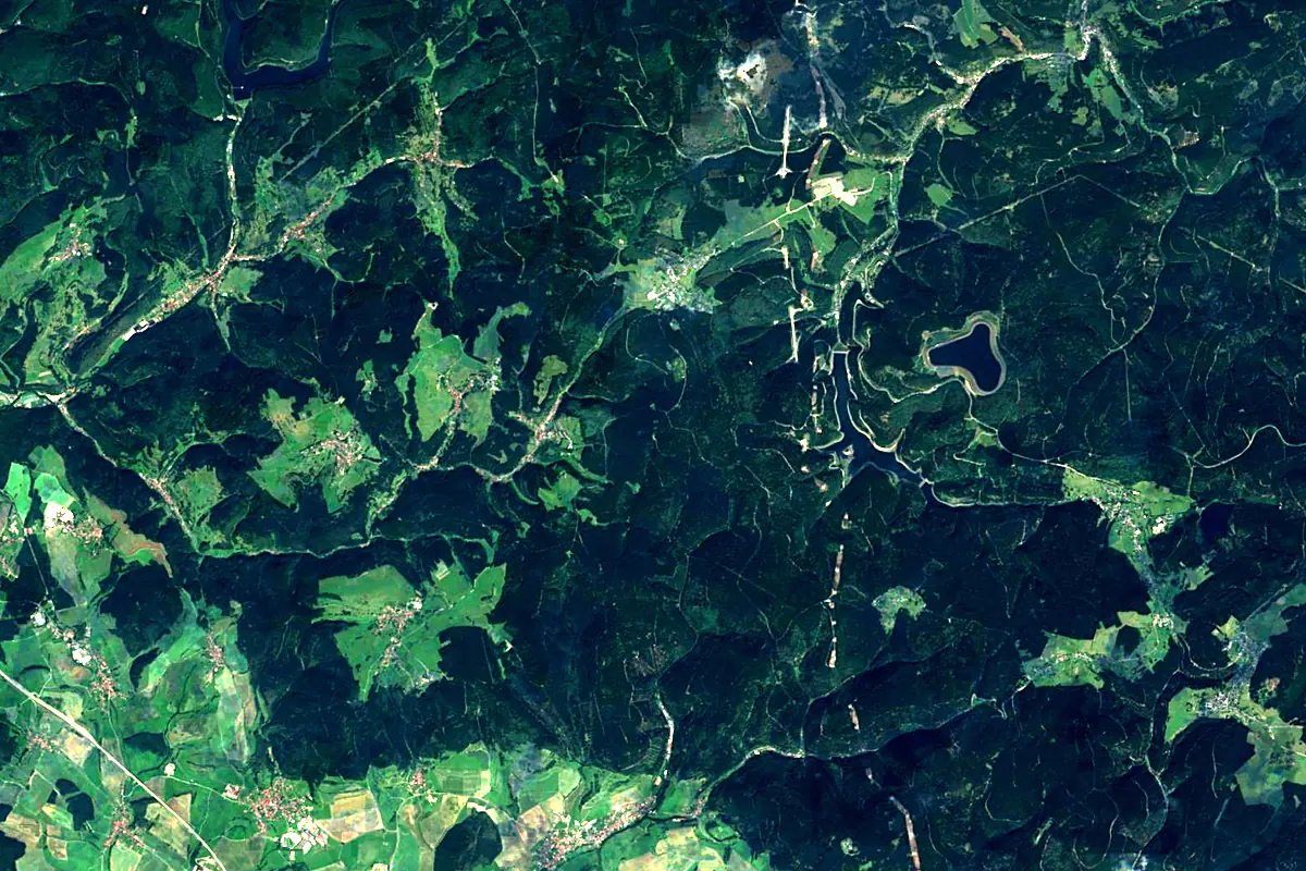
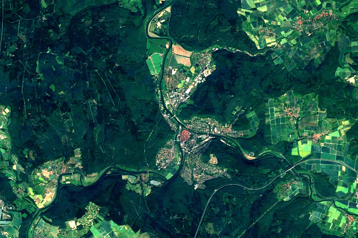
Sentinel-2 cloudless 2016 by EOX IT Services GmbH (contains modified Copernicus Sentinel data 2016), CC BY 4.0. The glowing line is the river as drawn by RiverATLAS.
Photos
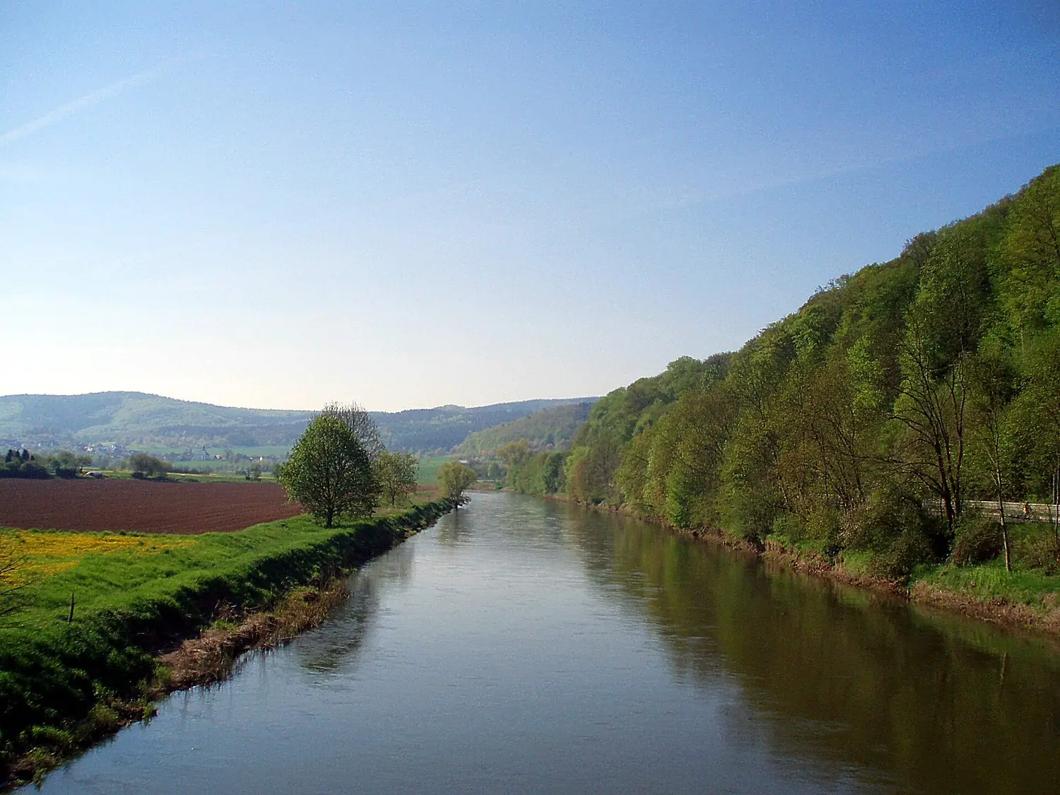
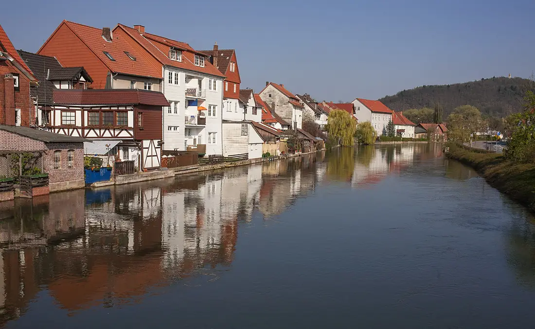
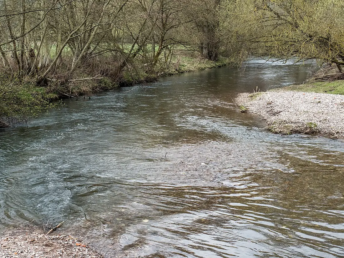
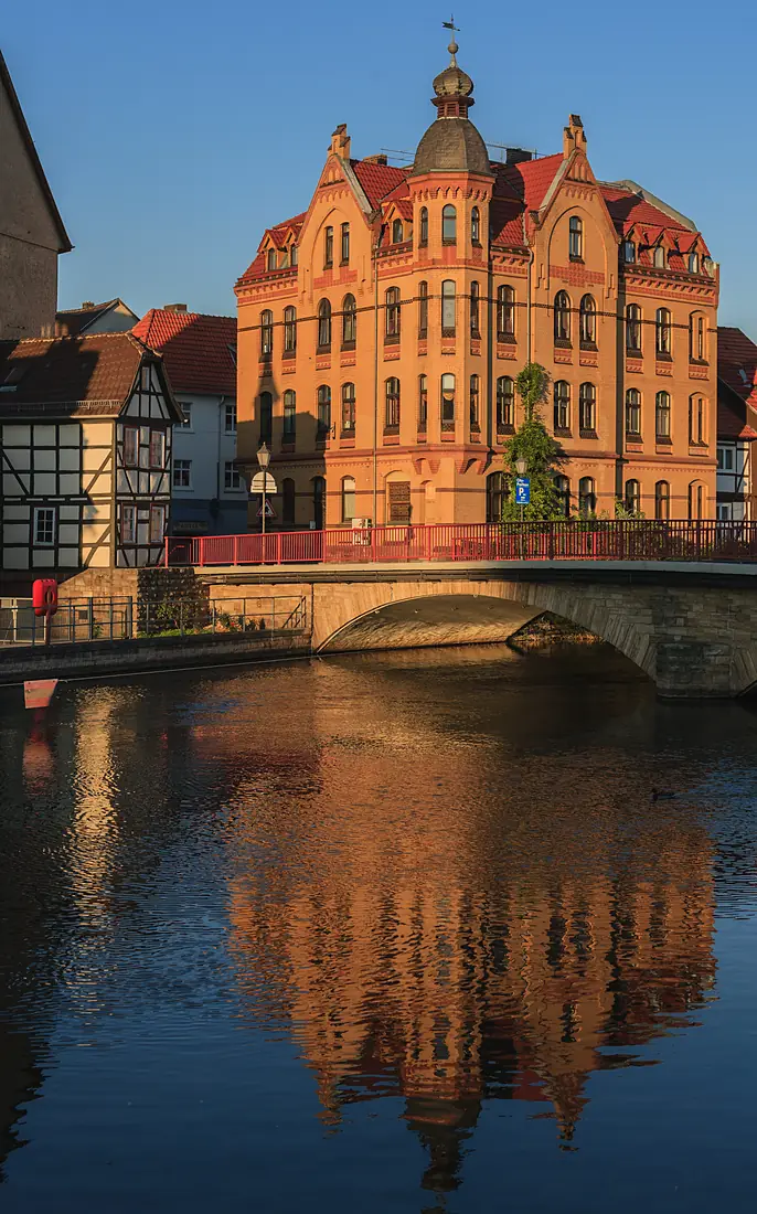
Werra in pictures
Tributaries
Where it flows, and what flows into it
It flows into
WeserGermany451 km330 m³/sTributaries (24)
Also: Ulster, Schleuse, Hörsel, Truse, Frieda, Elte, Schweina, Felda, Grumbach, Wehre, Katza, Gelster, Hasel, Herpf, Rosabach, Schmalkalde, Suhl, Zeilbach, Berka, Nesse, Weihe, Walse, Farn-Bach, Heldrabach
Nearby
Rivers nearby
Where these numbers come from
| Name, length, places | Wikidata (Q6424) · CC0 |
|---|---|
| Course, profile, basin | RiverATLAS v1.0 (HydroATLAS, Linke et al. 2019) · CC BY 4.0 — followed from the source to the mouth given by Wikidata |
| Flow | WaterGAP (RiverATLAS), 1971–2000 · CC BY 4.0 |
| Climate along the river | WorldClim (RiverATLAS), 1970–2000 · CC BY 4.0 |
| Towns, bridges, dams | Wikidata · CC0; GeoNames · CC BY 4.0 |
| Along the river | © OpenStreetMap contributors · ODbL |
| Images | EOX Sentinel-2 cloudless 2016 · CC BY 4.0; Wikimedia Commons |
| Our other atlases | Lakeyas, Peakyas — Wikidata · CC0; © OpenStreetMap contributors · ODbL; GeoNames · CC BY 4.0; HydroLAKES · CC BY 4.0; NOAA OISST |
Every source and licence is on the data sources page.
The family
Do you prefer beaches, lakes, mountains, waterfalls, islands, rivers or canyons?
Same idea, other landscapes: field atlases built on open data, month by month, in seven languages.
 beaches
 Find your beach: sea temperature, sun and swimming month by month.Visit lakes
 Every lake on Earth: water temperature, ice, depth and the shore.Coming soonVisit mountains
 Every summit in 3D: summit weather, the 0 °C line, huts and trails.Visit
  waterfalls
 Every waterfall: height, flow month by month and when it roars.Coming soonVisit
  islands
 Every island from the sea up: size, sea temperature, ferries and 3D.Coming soonVisit
  rivers
 Every river from source to sea: the journey, the flow and the basin in numbers.You are here
 canyons
 Every canyon cut to scale: depth to the floor, rim and floor temperatures, trails and viewpoints.Coming soonVisit