River
Saar
246 km from source to mouth · Germany and France.

 Germany and FranceFlows into Moselle
In numbers
Length
246km
Average flow
78m³/s
Basin
7,431km²
Drop
137m
from 261 m to 124 m
Countries
2
The journey
From source to mouth
246 km of river and 50 stops on the way: 45 towns and cities on its banks, dams, bridges and the tributaries that feed it.
- 0 kmAbreschvillerat 261 m
- 0 kmpont-canal de Hesse
- 42 kmLunéville21,582 people
- 62 kmDombasle-sur-Meurthe9,256 people
- 66 kmVarangéville4,320 people
- 66 kmSaint-Nicolas-de-Port7,653 people
- 74 kmLaneuveville-devant-Nancy5,168 people
- 74 kmHeillecourt6,327 people
- 75 kmJarville-la-Malgrange10,248 people
- 77 kmTomblaine7,703 people
- 77 kmSaulxures-lès-Nancy3,981 people
- 78 kmNancy105,058 people
- 78 kmEssey-lès-Nancy8,090 people
- 79 kmSaint-Max11,123 people
- 81 kmMalzéville8,095 people
- 81 kmMaxéville9,226 people
- 84 kmChampigneulles6,947 people
- 86 kmBouxières-aux-Dames4,205 people
- 89 kmFrouard7,119 people
- 90 kmPompey5,341 people
- 92 kmCustines3,056 people
- 102 kmDieulouard4,851 people
- 109 kmBlénod-lès-Pont-à-Mousson5,014 people
- 111 kmPont-à-Mousson15,411 people
- 121 kmPagny-sur-Moselle4,149 people
- 133 kmArs-sur-Moselle5,116 people
- 138 kmMoulins-lès-Metz4,786 people
- 140 kmMontigny-lès-Metz26,369 people
- 141 kmLongeville-lès-Metz3,970 people
- 142 kmLe Ban Saint-Martin4,332 people
- 143 kmMetz123,914 people
- 144 kmWoippy13,721 people
- 146 kmSaint-Julien-lès-Metz3,228 people
- 156 kmMaizières-lès-Metz9,845 people
- 159 kmTalange8,175 people
- 160 kmHagondange9,039 people
- 161 kmMondelange5,761 people
- 166 kmGuénange7,409 people
- 168 kmUckange7,385 people
- 174 kmTerville6,667 people
- 175 kmThionville44,311 people
- 177 kmYutz15,659 people
- 201 kmSchengen5,196 people
- 210 kmRemich4,015 people
- 224 kmWeingut Würtzberg
- 224 kmStaustufe Serrig
- 225 kmAltstadtbrücke
- 226 kmLeukbachtributary
- 232 kmGrevenmacher5,092 people
- 239 kmWasserbillig3,485 people
- 245 kmKonz18,539 people
- 246 kmMoselleat 124 m
Water level along the river (RiverATLAS; the height is exaggerated). Towns: GeoNames and Wikidata; bridges, dams and tributaries: Wikidata.
River in France and Germany
At the mouth it carries 78 m³/s on average: an Olympic pool every 32 seconds. It drops from 261 m to 124 m, 0.6 m per kilometre on average. Its basin covers 7,431 km², about the size of PR. 2.2 million people live in it. Highest water: from December to February. Its dams hold back little of its water (2.2% of a year's flow).
Where to start
- MetzLargest city on its banks · 123,914 people
- Metz-Nancy-Lorraine Airport (ETZ)Nearest airport with scheduled flights, 16 km from the cityCar hire at ETZ airport (Goin)Discover Cars · Affiliate link↗
- On the water82 ferry piers, marinas, boat rentals and boat ramps along the river (OpenStreetMap)
- Kayak and canoe1 put-ins and rapids mapped (OpenStreetMap)
- From May to SeptemberThe best months to visit
Saar, month by month
Highest water: from December to February
Best months to visit: from May to September.
From about 70 m³/s in the lowest month to 380 m³/s in the highest. An estimate: the monthly flow is modelled from the lowest and highest months of WaterGAP (RiverATLAS, 1971–2000) and the rain and snow along the river (WorldClim). Dams change the real rhythm. The chip is the average air temperature; below it, the month's rain.
Plan the trip
Plan the trip: boat trips, a bed by the river, a car
Some links above are affiliate links: if you book through them we may earn a commission, at no extra cost to you. It never changes what the data on this page says.
The basin
Saar: the basin in numbers
16,360 km² of land send their water to this river. This is what lives on it.
- 2.2millionpeople live in the basin
- 133/km²people per km²
- 351maverage altitude of the basin
- 838mmof rain a year (basin average)
- 8.9°Caverage air temperature
- 24%protected areas
- 0.3%covered by lakes
- 0.1km³held in reservoirs
What covers the basin
- 32% Forest
- 25% Cropland
- 22% Pasture
- 7% Towns and cities
RiverATLAS (HydroATLAS v1.0, CC BY 4.0): land cover, people, protected areas, glaciers and dams over the whole basin upstream of the mouth.
Along the river
Saar: what you find on the way
- 49WeirsBarrage de la Californie, Digue de Wadrineau, Digue de la Pucelle and 46 more
- 102LocksCanal de la Marne au Rhin, Canal de Jonction de Nancy, La Moselle Canalisée and 99 more
- 8Waterfalls
- 1Canoe put-ins
- 38Boat rampsSlipanlage Nennig, Alte Fährrampe Igel, Alte Fährrampe Reinig and 35 more
- 10Ferry piersMoulins-lès-Metz, Scy-Chazelles, Longeville Centre and 7 more
- 30MarinasHalte Nautique de Dombasle sur Meurthe, Halte nautique de Varangéville, Port de Plaisance de Nancy-Saint-Georges and 27 more
- 2River beachesWoippy Plage, Plage du club de voile
From OpenStreetMap, within 1.9 km of the river. Not mapped is not the same as not there.
Cross-checked with our atlases
Saar in our other atlases
What our sister atlases know about the waterfalls on this river, the lakes it flows through, the beaches at its mouth, the mountains where it rises and the islands off its mouth.
 49mountains at the sourcePeakyas
Mountains at the source (49)
Within 15 km of the source, by Peakyas
- Mont Donon2.4 km away · prominence 273 m1,008m
- Rocher de Mutzig5.7 km away1,008m
- Le Schneeberg12 km away961m
- Grossmann5.0 km away986m
- Le Narion4.5 km away998m
- Le Petit Donon2.1 km away961m
- Le Noll3.9 km away991m
- La Haute Loge12 km away · prominence 207 m938m
41 more on PeakyasOpen Peakyas ↗
From space
The source and the mouth, seen from orbit
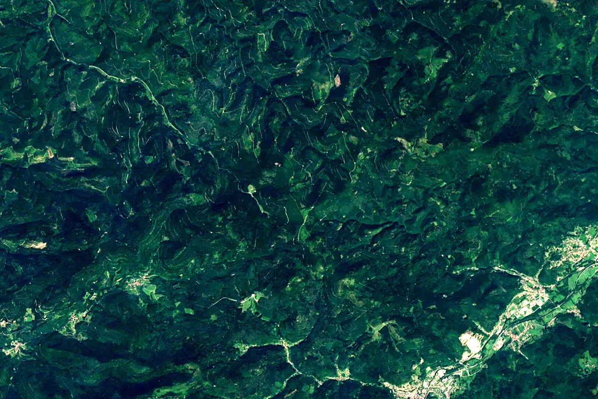
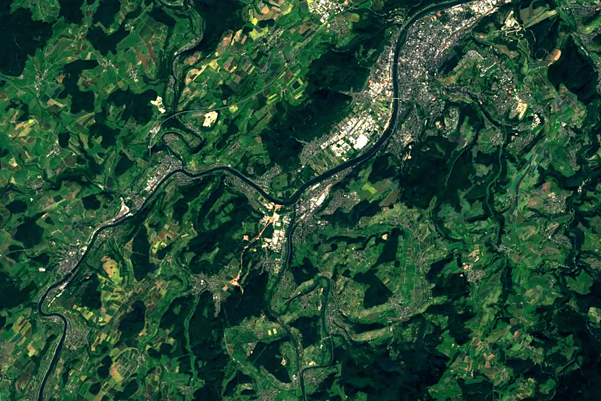
Sentinel-2 cloudless 2016 by EOX IT Services GmbH (contains modified Copernicus Sentinel data 2016), CC BY 4.0. The glowing line is the river as drawn by RiverATLAS.
Photos
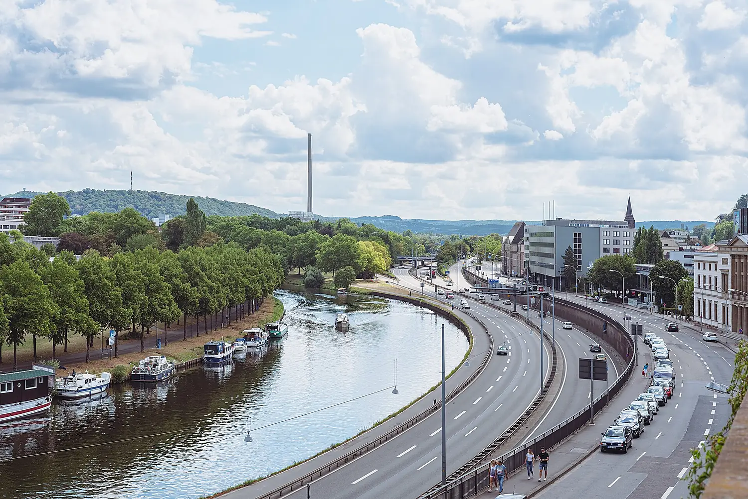
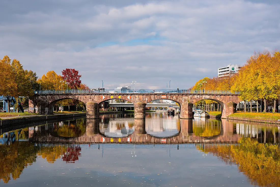
Saar in pictures
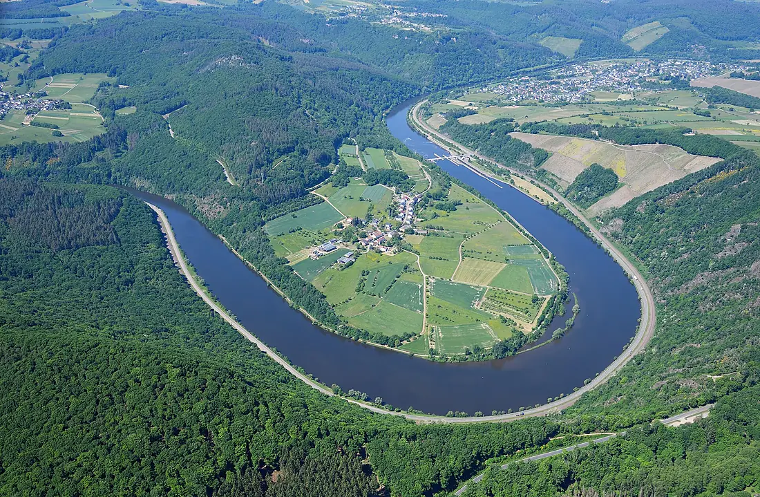
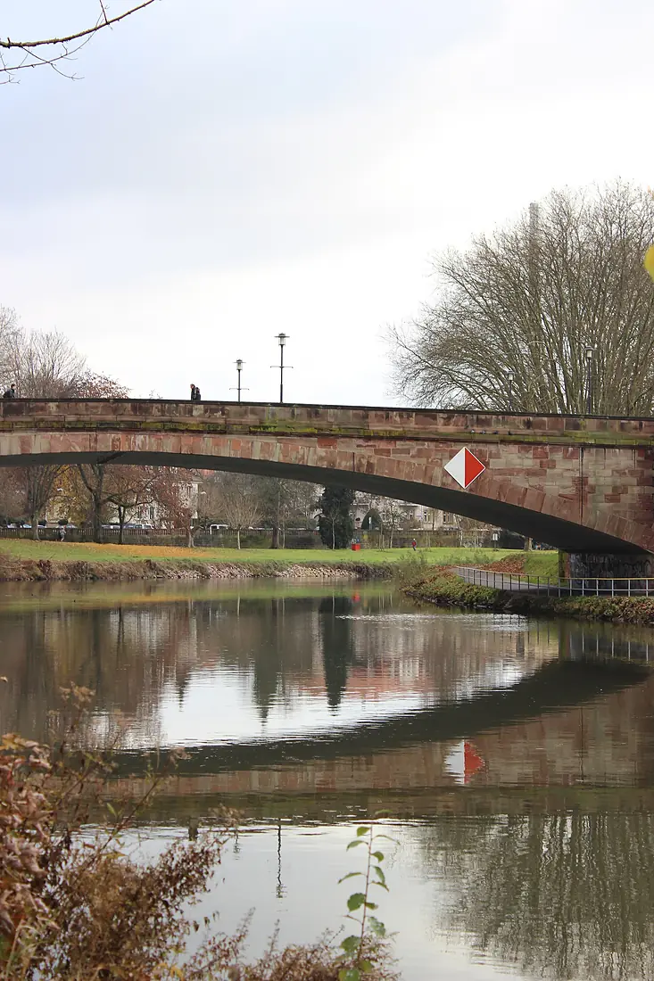
Tributaries
Where it flows, and what flows into it
It flows into
MoselleGermany544 km320 m³/sTributaries (26)
Also: Nied, Prims, Bist, Rossel, Leukbach, Ellbach, Albe, Köllerbach, Rohrbach, Isch, Bièvre, Eichel, Simbach, Saarbach, Sarre rouge, Sulzbach, Ruisseau d'Achen, Landbach, Fischbach, Pulverbach, Salzbach (Saar), Hahnenklamm, Auersmacher Tiefenbach, Saarhölzbach
 The Netherlands
 Switzerland
Nearby
Rivers nearby
 Luxembourg
Where these numbers come from
| Name, length, places | Wikidata (Q153972) · CC0 |
|---|---|
| Course, profile, basin | RiverATLAS v1.0 (HydroATLAS, Linke et al. 2019) · CC BY 4.0 — followed from the source to the mouth given by Wikidata |
| Flow | WaterGAP (RiverATLAS), 1971–2000 · CC BY 4.0 |
| Climate along the river | WorldClim (RiverATLAS), 1970–2000 · CC BY 4.0 |
| Towns, bridges, dams | Wikidata · CC0; GeoNames · CC BY 4.0 |
| Along the river | © OpenStreetMap contributors · ODbL |
| Images | EOX Sentinel-2 cloudless 2016 · CC BY 4.0; Wikimedia Commons |
| Our other atlases | Peakyas — Wikidata · CC0; © OpenStreetMap contributors · ODbL; GeoNames · CC BY 4.0; HydroLAKES · CC BY 4.0; NOAA OISST |
Every source and licence is on the data sources page.
The family
Do you prefer beaches, lakes, mountains, waterfalls, islands, rivers or canyons?
Same idea, other landscapes: field atlases built on open data, month by month, in seven languages.
 beaches
 Find your beach: sea temperature, sun and swimming month by month.Visit
  lakes
lakes Every lake on Earth: water temperature, ice, depth and the shore.Coming soonVisit mountains
 Every summit in 3D: summit weather, the 0 °C line, huts and trails.Visit
  waterfalls
 Every waterfall: height, flow month by month and when it roars.Coming soonVisit
  islands
 Every island from the sea up: size, sea temperature, ferries and 3D.Coming soonVisit
  rivers
 Every river from source to sea: the journey, the flow and the basin in numbers.You are here
 canyons
 Every canyon cut to scale: depth to the floor, rim and floor temperatures, trails and viewpoints.Coming soonVisit