River
Yonne
292 km from source to mouth · France.
 FranceFlows into Seine
In numbers
Length
292km
Average flow
100m³/s
Basin
10,887km²
Drop
274m
from 320 m to 46 m
Country
1
The journey
From source to mouth
292 km of river and 68 stops on the way: 60 towns and cities on its banks, dams, bridges and the tributaries that feed it.
- 0 kmMont Preneleyat 320 m
- 0 kmChâteau-Chinon (Campagne)554 people
- 0 kmArleuf637 people
- 14 kmLac de Pannecière3.3 km²
- 38 kmCervon588 people
- 45 kmCorbigny1,327 people
- 50 kmAuxoistributary
- 84 kmArmes266 people
- 88 kmClamecy3,544 people
- 101 kmCrain410 people
- 111 kmChâtel-Censoir561 people
- 135 kmBazarnes422 people
- 139 kmCuretributary
- 143 kmIrancy247 people
- 146 kmVincelles913 people
- 148 kmSaint-Bris-le-Vineux1,024 people
- 149 kmEscolives-Sainte-Camille719 people
- 152 kmChamps-sur-Yonne1,513 people
- 157 kmAugy954 people
- 163 kmAuxerre35,097 people
- 171 kmMonéteau4,114 people
- 172 kmBaulchetributary
- 174 kmGurgy1,723 people
- 177 kmAppoigny3,114 people
- 178 kmChemilly-sur-Yonne887 people
- 182 kmBeaumont618 people
- 184 kmBassou869 people
- 184 kmBonnard909 people
- 186 kmSereintributary
- 187 kmCheny2,206 people
- 188 kmCharmoy1,104 people
- 189 kmArmançontributary
- 189 kmMigennes6,688 people
- 191 kmÉpineau-les-Voves708 people
- 192 kmLaroche-Saint-Cydroine1,185 people
- 195 kmChamplay733 people
- 202 kmJoigny9,016 people
- 207 kmCézy1,070 people
- 208 kmSaint-Aubin-sur-Yonne434 people
- 214 kmSaint-Julien-du-Sault2,173 people
- 217 kmArmeau753 people
- 224 kmVilleneuve-sur-Yonne5,135 people
- 227 kmPassy324 people
- 228 kmMarsangy870 people
- 232 kmVéron1,849 people
- 232 kmÉtigny747 people
- 237 kmGron1,288 people
- 239 kmVannetributary
- 241 kmParon4,834 people
- 242 kmSens27,106 people
- 246 kmSaint-Denis-lès-Sens628 people
- 247 kmCourtois-sur-Yonne783 people
- 250 kmCuy861 people
- 254 kmGisy-les-Nobles545 people
- 257 kmPont-sur-Yonne3,391 people
- 258 kmMichery1,078 people
- 260 kmVillemanoche667 people
- 261 kmOreusetributary
- 261 kmSerbonnes716 people
- 267 kmCourlon-sur-Yonne1,183 people
- 270 kmChampigny2,128 people
- 270 kmVinneuf1,536 people
- 271 kmChaumont645 people
- 276 kmVilleblevin1,795 people
- 278 kmVilleneuve-la-Guyard3,455 people
- 283 kmMarolles-sur-Seine1,774 people
- 286 kmCannes-Écluse2,742 people
- 291 kmMontereau-Fault-Yonne22,279 people
- 291 kmVarennes-sur-Seine3,748 people
- 292 kmSeineat 46 m
Water level along the river (RiverATLAS; the height is exaggerated). Towns: GeoNames and Wikidata; bridges, dams and tributaries: Wikidata.
River in France
At the mouth it carries 105 m³/s on average: an Olympic pool every 24 seconds. It drops from 320 m to 46 m, 0.9 m per kilometre on average. Its basin covers 10,887 km², about the size of XK. 419,000 people live in it. Highest water: from December to February. Its dams hold back little of its water (5.4% of a year's flow).
Where to start
- AuxerreLargest city on its banks · 35,097 people
- Chalons Vatry airport (XCR)Nearest airport with scheduled flights, 118 km from the cityCar hire at ORY airport (Paris)Discover Cars · Affiliate link↗
- On the water46 ferry piers, marinas, boat rentals and boat ramps along the river (OpenStreetMap)
- From May to SeptemberThe best months to visit
Yonne, month by month
Highest water: from December to February
Best months to visit: from May to September.
From about 27 m³/s in the lowest month to 130 m³/s in the highest. An estimate: the monthly flow is modelled from the lowest and highest months of WaterGAP (RiverATLAS, 1971–2000) and the rain and snow along the river (WorldClim). Dams change the real rhythm. The chip is the average air temperature; below it, the month's rain.
Plan the trip
Plan the trip: boat trips, a bed by the river, a car
Some links above are affiliate links: if you book through them we may earn a commission, at no extra cost to you. It never changes what the data on this page says.
The basin
Yonne: the basin in numbers
10,790 km² of land send their water to this river. This is what lives on it.
- 419,000people live in the basin
- 39/km²people per km²
- 260maverage altitude of the basin
- 735mmof rain a year (basin average)
- 10.3°Caverage air temperature
- 15%protected areas
- 0.2%covered by lakes
- 0.1km³held in reservoirs
What covers the basin
- 15% Forest
- 41% Cropland
- 15% Pasture
- 1% Towns and cities
RiverATLAS (HydroATLAS v1.0, CC BY 4.0): land cover, people, protected areas, glaciers and dams over the whole basin upstream of the mouth.
Along the river
Yonne: what you find on the way
- 83WeirsDéversoir de Baseville, Pertuis des Bouchets, Seuil de Rosoy and 80 more
- 285LocksCanal du Nivernais and 284 more
- 25Boat rampsponton de mise à l'eau and 24 more
- 17MarinasPort de Plaisance de Corbigny, Port de Plaisance de Chaumot Chitry les Mines, Port de Plaisance de Tannay and 14 more
- 5River beachesBase de loisirs de la Tambourinette, River bathing area, Migennes Plage and 2 more
From OpenStreetMap, within 1.8 km of the river. Not mapped is not the same as not there.
Cross-checked with our atlases
Yonne in our other atlases
What our sister atlases know about the waterfalls on this river, the lakes it flows through, the beaches at its mouth, the mountains where it rises and the islands off its mouth.
 1lake on its wayLakeyas
 10mountains at the sourcePeakyas
Lakes and reservoirs (1)
Lakes it flows through, by Lakeyas
- Lac de Pannecièrekm 11 · 48 m deep3.3km²
Lakeyas is coming soonOpen Lakeyas ↗
Mountains at the source (10)
Within 15 km of the source, by Peakyas
- Morvan14 km away901m
- Haut-Folin4.8 km away901m
- Mont Beuvray4.1 km away821m
- Mont Préneley0.5 km away855m
- Bois de la Loge3.6 km away818m
- Mont Touleur8.6 km away582m
- Mont Dône15 km away513m
- Mont Charlet12 km away360m
2 more on PeakyasOpen Peakyas ↗
From space
The source and the mouth, seen from orbit
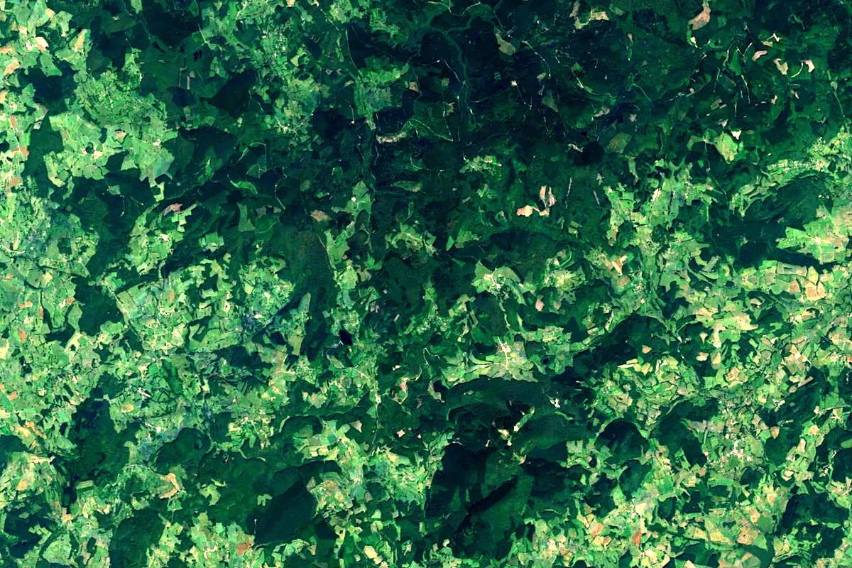
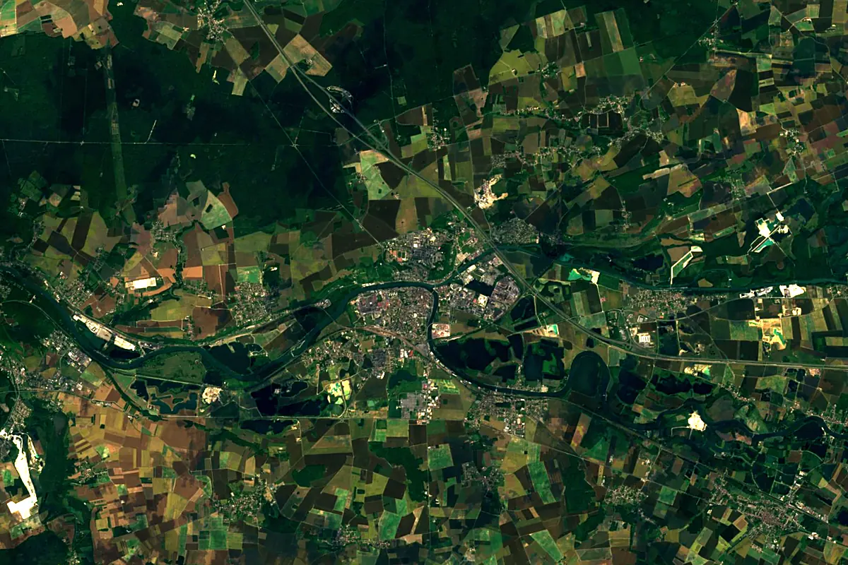
Sentinel-2 cloudless 2016 by EOX IT Services GmbH (contains modified Copernicus Sentinel data 2016), CC BY 4.0. The glowing line is the river as drawn by RiverATLAS.
Photos
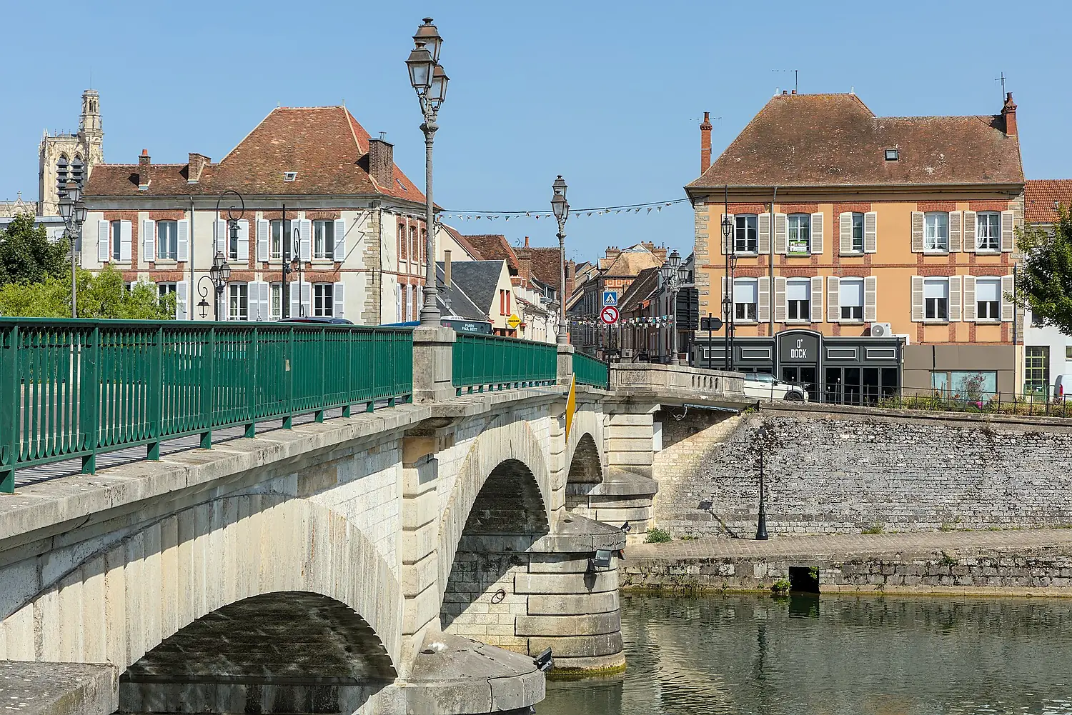
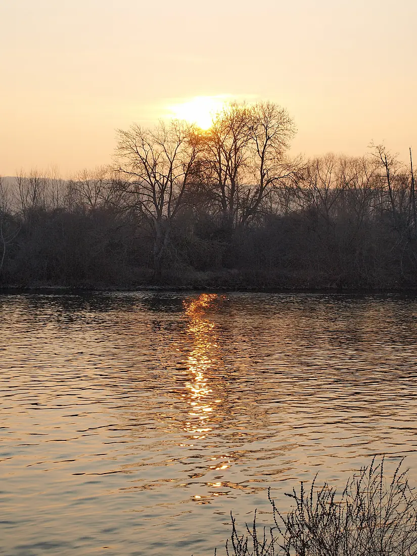
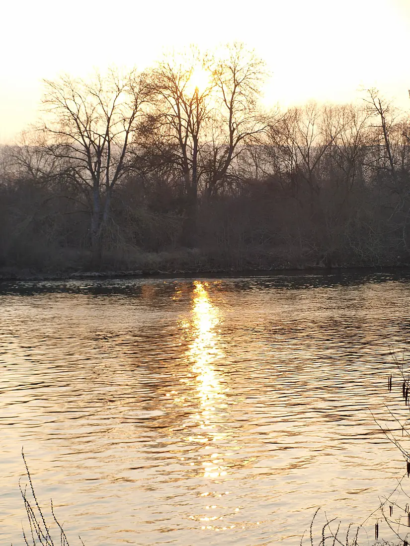
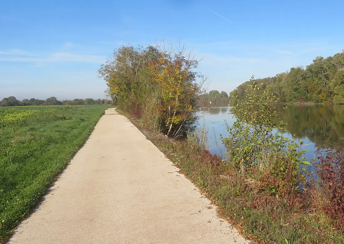
Yonne in pictures
Tributaries
Where it flows, and what flows into it
It flows into
SeineFrance777 km500 m³/sTributaries (16)
Also: Cure, Serein, Vanne, Beuvron, Vrin, Tholon, Anguison, Auxois, Oreuse, Ravillon, Druyes (river), Baulche, Armance, Rû de Sinotte, Rû Saint-Ange
Nearby
Rivers nearby
Where these numbers come from
| Name, length, places | Wikidata (Q213967) · CC0 |
|---|---|
| Course, profile, basin | RiverATLAS v1.0 (HydroATLAS, Linke et al. 2019) · CC BY 4.0 — followed from the source to the mouth given by Wikidata |
| Flow | WaterGAP (RiverATLAS), 1971–2000 · CC BY 4.0 |
| Climate along the river | WorldClim (RiverATLAS), 1970–2000 · CC BY 4.0 |
| Towns, bridges, dams | Wikidata · CC0; GeoNames · CC BY 4.0 |
| Along the river | © OpenStreetMap contributors · ODbL |
| Images | EOX Sentinel-2 cloudless 2016 · CC BY 4.0; Wikimedia Commons |
| Our other atlases | Lakeyas, Peakyas — Wikidata · CC0; © OpenStreetMap contributors · ODbL; GeoNames · CC BY 4.0; HydroLAKES · CC BY 4.0; NOAA OISST |
Every source and licence is on the data sources page.
The family
Do you prefer beaches, lakes, mountains, waterfalls, islands, rivers or canyons?
Same idea, other landscapes: field atlases built on open data, month by month, in seven languages.
 beaches
 Find your beach: sea temperature, sun and swimming month by month.Visit lakes
 Every lake on Earth: water temperature, ice, depth and the shore.Coming soonVisit mountains
 Every summit in 3D: summit weather, the 0 °C line, huts and trails.Visit
  waterfalls
 Every waterfall: height, flow month by month and when it roars.Coming soonVisit
  islands
 Every island from the sea up: size, sea temperature, ferries and 3D.Coming soonVisit
  rivers
 Every river from source to sea: the journey, the flow and the basin in numbers.You are here
 canyons
 Every canyon cut to scale: depth to the floor, rim and floor temperatures, trails and viewpoints.Coming soonVisit