River
Hornád
286 km from source to mouth · Hungary and Slovakia.
 Hungary and SlovakiaFlows into Sajó3rd longest in Hungary
In numbers
Length
286km
Average flow
31m³/s
Basin
5,500km²
Drop
518m
from 610 m to 92 m
Countries
2
The journey
From source to mouth
286 km of river and 36 stops on the way: 27 towns and cities on its banks, dams, bridges and the tributaries that feed it.
- 0 kmSourceat 610 m
- 8 kmHranovnica3,204 people
- 19 kmVeľká Biela vodatributary
- 34 kmSmižany8,783 people
- 37 kmSpišská Nová Ves34,023 people
- 44 kmTeplička1,123 people
- 47 kmMarkušovce4,910 people
- 58 kmVítkovce673 people
- 63 kmBystrany3,729 people
- 66 kmSpišské Vlachy3,260 people
- 74 kmKrompachy8,533 people
- 80 kmRichnava3,174 people
- 84 kmroad bridge to Huta
- 92 kmHnilectributary
- 102 kmBelátributary
- 105 kmRužín2.0 km²
- 112 kmMalá Lodina219 people
- 124 kmSopotnicatributary
- 126 kmKysak1,409 people
- 130 kmSvinkatributary
- 134 kmDružstevná pri Hornáde2,902 people
- 135 kmKostoľany nad Hornádom1,183 people
- 141 kmSídlisko Ťahanovce19,596 people
- 142 kmŤahanovce2,189 people
- 144 kmČermeľtributary
- 144 kmKošice-Sever18,073 people
- 144 kmDžungľa797 people
- 146 kmOld Town20,200 people
- 146 kmKošice222,286 people
- 157 kmValaliky4,605 people
- 162 kmTorysatributary
- 164 kmNižná Myšľa1,615 people
- 167 kmČaňa6,109 people
- 171 kmTrstené pri Hornáde1,512 people
- 177 kmSeňa2,239 people
- 254 kmOnga4,697 people
- 261 kmHernádnémeti3,464 people
- 286 kmSajóat 92 m
Water level along the river (RiverATLAS; the height is exaggerated). Towns: GeoNames and Wikidata; bridges, dams and tributaries: Wikidata.
River
At the mouth it carries 31 m³/s on average: an Olympic pool every 81 seconds. It drops from 610 m to 92 m, 1.8 m per kilometre on average. Its basin covers 5,500 km², about the size of BN. 1.4 million people live in it. Highest water: from March to May; lowest: from January to February. Its dams hold back little of its water (3.6% of a year's flow).
Where to start
- KošiceLargest city on its banks · 222,286 people
- Košice International Airport (KSC)Nearest airport with scheduled flights, 6 km from the cityCar hire at KSC airport (Košice)Discover Cars · Affiliate link↗
- On the water20 ferry piers, marinas, boat rentals and boat ramps along the river (OpenStreetMap)
- Kayak and canoe1 put-ins and rapids mapped (OpenStreetMap)
- From May to SeptemberThe best months to visit
Hornád, month by month
Highest water: from March to May
Lowest water: from January to February. Best months to visit: from May to September.
From about 26 m³/s in the lowest month to 180 m³/s in the highest. An estimate: the monthly flow is modelled from the lowest and highest months of WaterGAP (RiverATLAS, 1971–2000) and the rain and snow along the river (WorldClim). Dams change the real rhythm. The chip is the average air temperature; below it, the month's rain.
Plan the trip
Plan the trip: boat trips, a bed by the river, a car
Some links above are affiliate links: if you book through them we may earn a commission, at no extra cost to you. It never changes what the data on this page says.
The basin
Hornád: the basin in numbers
12,063 km² of land send their water to this river. This is what lives on it.
- 1.4millionpeople live in the basin
- 118/km²people per km²
- 432maverage altitude of the basin
- 662mmof rain a year (basin average)
- 7.8°Caverage air temperature
- 14%protected areas
- 0.1%covered by lakes
- 0.1km³held in reservoirs
What covers the basin
- 56% Forest
- 24% Cropland
- 19% Pasture
- 4% Towns and cities
RiverATLAS (HydroATLAS v1.0, CC BY 4.0): land cover, people, protected areas, glaciers and dams over the whole basin upstream of the mouth.
Along the river
Hornád: what you find on the way
- 45WeirsVyšná hať, Hať, Hať Vyšné Opátske and 42 more
- 24WaterfallsMisové vodopády, Bočný vodopád, Korytový vodopád and 21 more
- 1Canoe put-insHrabušice - Na mýte
- 7Boat rampsSklz Malá Lodina, Sklz Kysák, Sklz Súdky Ťahanovce and 4 more
- 4Ferry piersMuhi, Köröm, Girincs and 1 more
- 1MarinasJachtárske stredisko mládeže
- 1River beachesMuhi strand
From OpenStreetMap, within 1.8 km of the river. Not mapped is not the same as not there.
Cross-checked with our atlases
Hornád in our other atlases
What our sister atlases know about the waterfalls on this river, the lakes it flows through, the beaches at its mouth, the mountains where it rises and the islands off its mouth.
 1lake on its wayLakeyas
 29mountains at the sourcePeakyas
Lakes and reservoirs (1)
Lakes it flows through, by Lakeyas
- Ružínkm 84 · 54 m deep2.0km²
Lakeyas is coming soonOpen Lakeyas ↗
Mountains at the source (29)
Within 15 km of the source, by Peakyas
- Kráľova hoľa13 km away1,946m
- Stredná hoľa12 km away1,876m
- Orlová12 km away1,840m
- Bartková12 km away1,790m
- Veľká Vápenica12 km away1,691m
- Kráľova skala15 km away1,690m
- Andrejcová12 km away1,519m
- Heľpianský vrch13 km away1,586m
21 more on PeakyasOpen Peakyas ↗
From space
The source and the mouth, seen from orbit
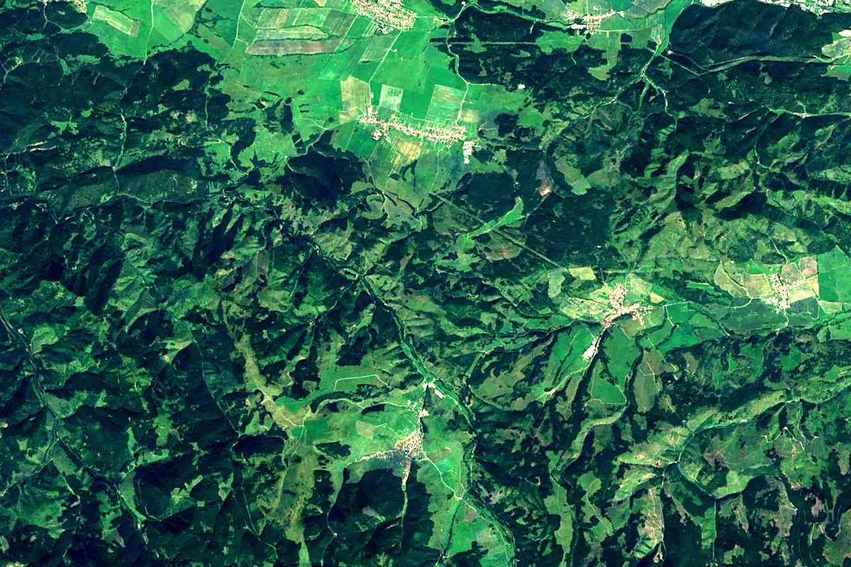
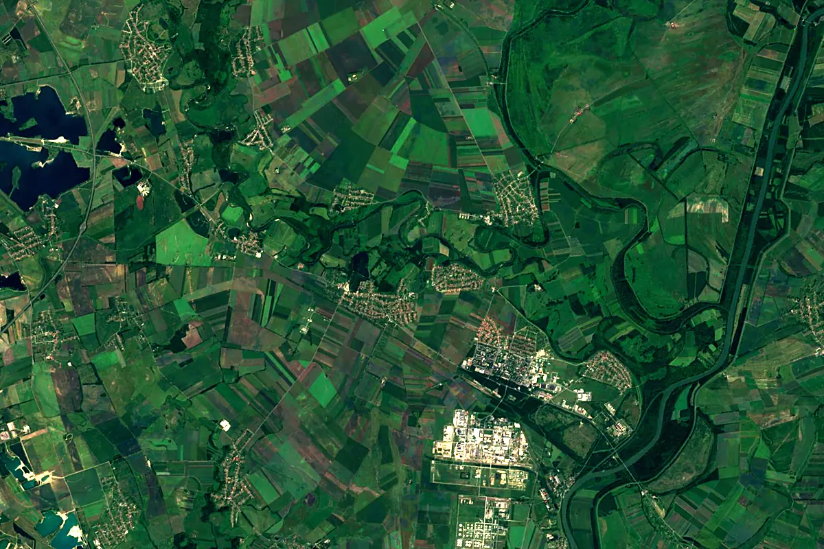
Sentinel-2 cloudless 2016 by EOX IT Services GmbH (contains modified Copernicus Sentinel data 2016), CC BY 4.0. The glowing line is the river as drawn by RiverATLAS.
Photos
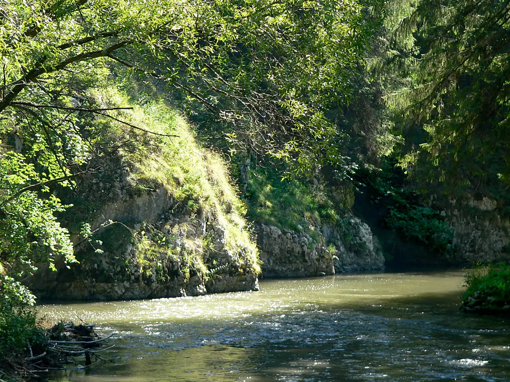
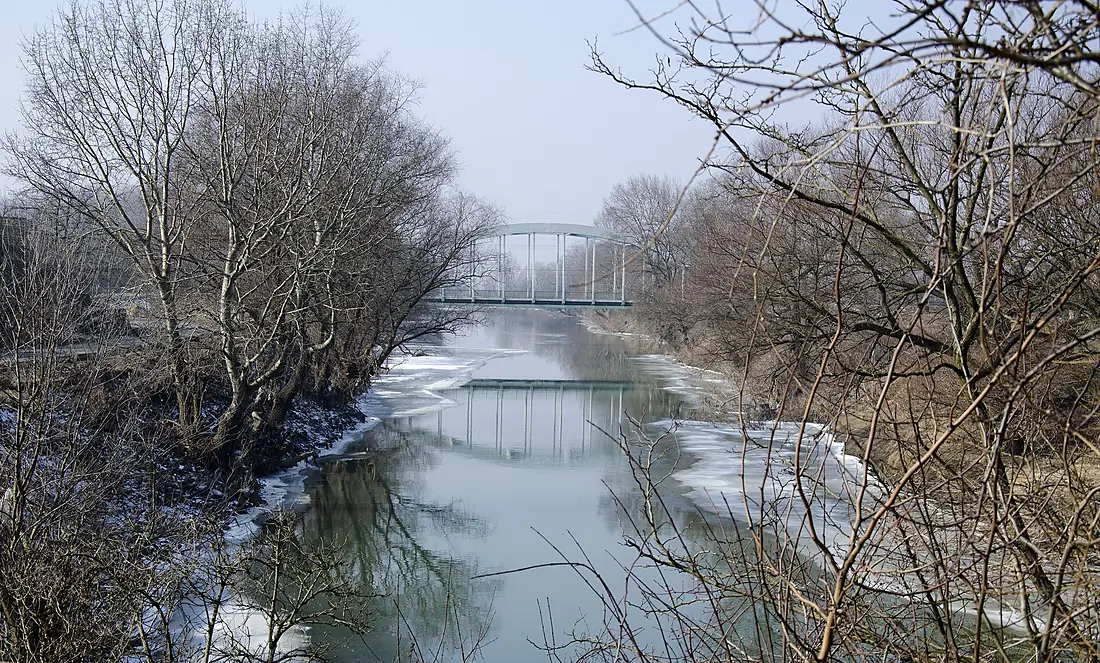
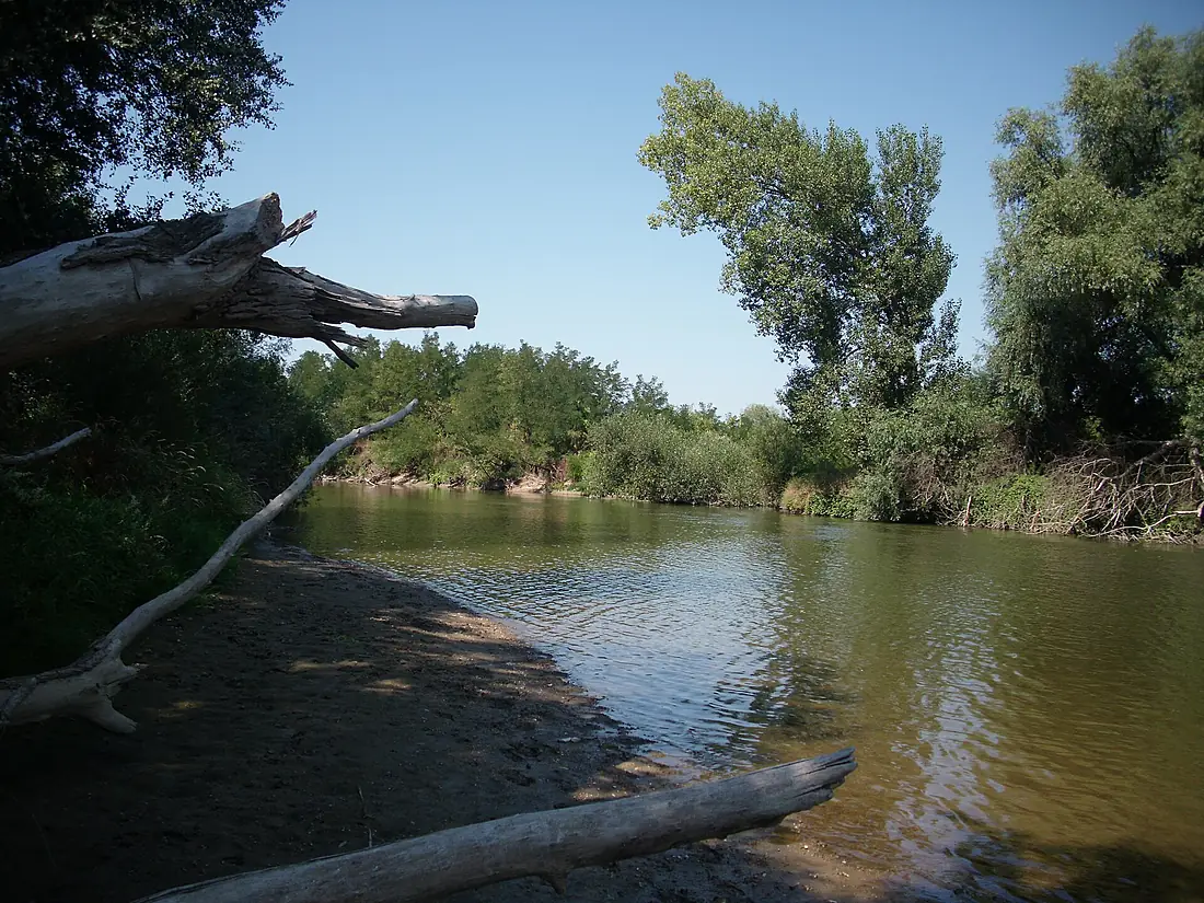
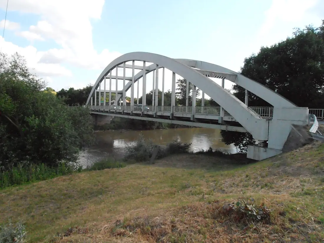
Hornád in pictures
Tributaries
Where it flows, and what flows into it
It flows into
SajóHungary229 km70 m³/sTributaries (14)
Also: Torysa, Hnilec, Svinka, Belá, Veľká Biela voda, Čermeľ, Opátka, Bystrá, Slovinka, Margecianka, Sopotnica, Holubnica, Branisko, Klčovský potok
 Romania
 Serbia
 Croatia
 Germany
 Moldova
 Austria
Nearby
Rivers nearby
Hungary67 km120 m³/s36 km awayLatoricaSlovakia182 km37 m³/s82 km awaySomeșHungary418 km120 m³/s101 km awayLaborecSlovakia129 km540 m³/s82 km awayOndavaSlovakia146 km21 m³/s82 km awayUzh RiverSlovakia127 km33 m³/s102 km awayZagyvaHungary179 km9.5 m³/s106 km awayCrișul Repede RiverHungary209 km19 m³/s115 km awayWhere these numbers come from
| Name, length, places | Wikidata (Q846744) · CC0 |
|---|---|
| Course, profile, basin | RiverATLAS v1.0 (HydroATLAS, Linke et al. 2019) · CC BY 4.0 — followed from the source to the mouth given by Wikidata |
| Flow | WaterGAP (RiverATLAS), 1971–2000 · CC BY 4.0 |
| Climate along the river | WorldClim (RiverATLAS), 1970–2000 · CC BY 4.0 |
| Towns, bridges, dams | Wikidata · CC0; GeoNames · CC BY 4.0 |
| Along the river | © OpenStreetMap contributors · ODbL |
| Images | EOX Sentinel-2 cloudless 2016 · CC BY 4.0; Wikimedia Commons |
| Our other atlases | Lakeyas, Peakyas — Wikidata · CC0; © OpenStreetMap contributors · ODbL; GeoNames · CC BY 4.0; HydroLAKES · CC BY 4.0; NOAA OISST |
Every source and licence is on the data sources page.
The family
Do you prefer beaches, lakes, mountains, waterfalls, islands, rivers or canyons?
Same idea, other landscapes: field atlases built on open data, month by month, in seven languages.
 beaches
 Find your beach: sea temperature, sun and swimming month by month.Visit lakes
 Every lake on Earth: water temperature, ice, depth and the shore.Coming soonVisit mountains
 Every summit in 3D: summit weather, the 0 °C line, huts and trails.Visit
  waterfalls
 Every waterfall: height, flow month by month and when it roars.Coming soonVisit
  islands
 Every island from the sea up: size, sea temperature, ferries and 3D.Coming soonVisit
  rivers
 Every river from source to sea: the journey, the flow and the basin in numbers.You are here
 canyons
 Every canyon cut to scale: depth to the floor, rim and floor temperatures, trails and viewpoints.Coming soonVisit