River
Paraná River
4,880 km from source to mouth · 4 countries.
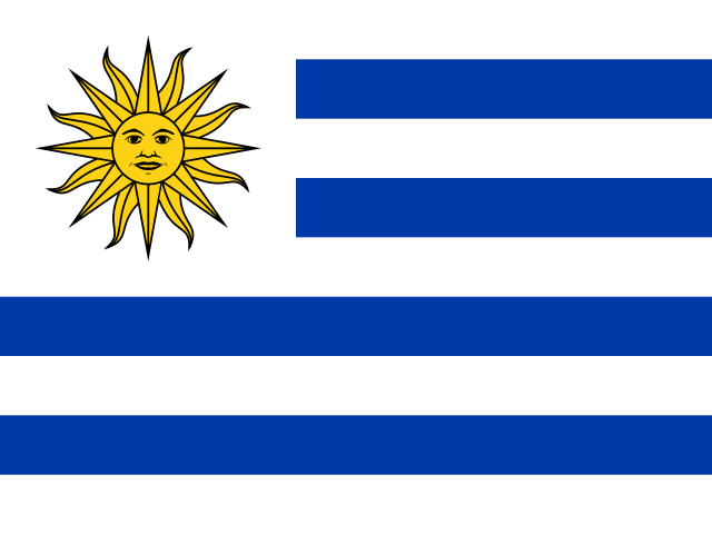
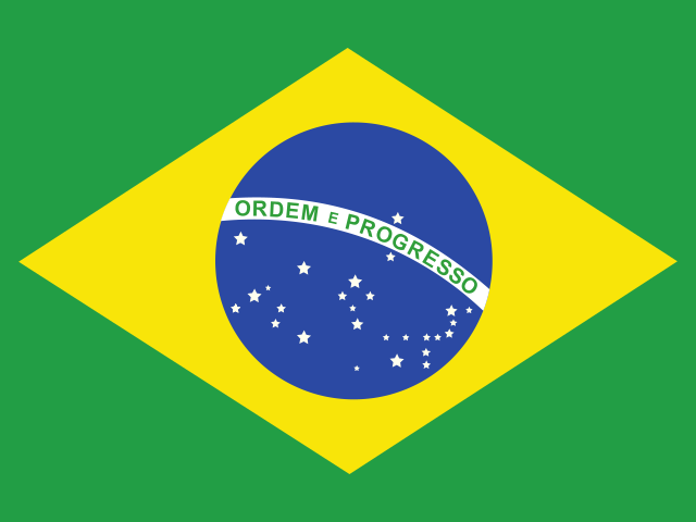
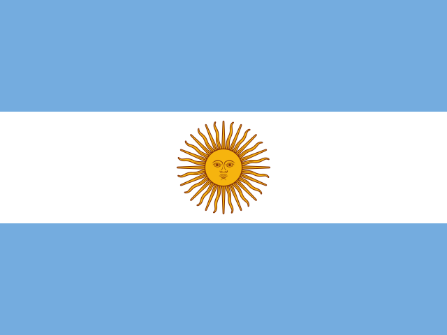
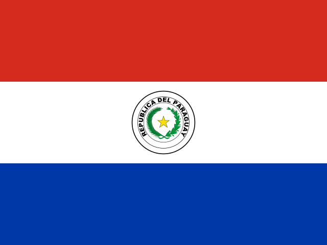 Uruguay, Brazil, Argentina and ParaguayFlows into Río de la Plata1st longest in Uruguay
In numbers
Length
4,880km
Average flow
16,000m³/s
Basin
2,582,672km²
Drop
928m
from 928 m to 0 m
Countries
4
The journey
From source to mouth
4,880 km of river and 68 stops on the way: 16 towns and cities on its banks, dams, bridges and the tributaries that feed it.
- 0 kmRio Paranaíbaat 928 m
- 702 kmItumbiara113,322 people
- 776 kmCachoeira Dourada
- 973 kmRepresa de São Simão584 km²
- 1,110 kmCachoeira Santana
- 1,182 kmGrande Rivertributary
- 1,187 kmParanaíba Rivertributary
- 1,216 kmQuitéria Rivertributary
- 1,251 kmSão José dos Douradostributary
- 1,252 kmIlha Solteira Dam
- 1,254 kmIlha Solteira Reservoir1,077 km²
- 1,298 kmSalto do Urubupungá
- 1,303 kmTietê Rivertributary
- 1,324 kmSucuriú Rivertributary
- 1,327 kmEng Souza Dias Dam
- 1,376 kmAguapeí Rivertributary
- 1,413 kmVerde Rivertributary
- 1,428 kmPanorama15,458 people
- 1,457 kmPeixe Rivertributary
- 1,519 kmPardo Rivertributary
- 1,677 kmLagoa São Paulo1,205 km²
- 1,677 kmEng Sérgio Motta Dam
- 1,710 kmParanapanema Rivertributary
- 1,847 kmIvinhema Rivertributary
- 1,873 kmIvaí Rivertributary
- 1,933 kmParacaí Rivertributary
- 1,983 kmIguatemi rivertributary
- 1,996 kmPiquiri Rivertributary
- 2,004 kmGuaíra Falls40 m
- 2,103 kmSão Francisco Rivertributary
- 2,120 kmSão Francisco Falso Braço Norte Rivertributary
- 2,226 kmItaipu Reservoir1,156 km²
- 2,226 kmItaipu Dam
- 2,228 kmHernandarias District79,036 people
- 2,242 kmAcaray Rivertributary
- 2,244 kmCiudad del Este350,000 people
- 2,246 kmPresidente Franco District101,720 people
- 2,248 kmFoz do Iguaçu285,415 people
- 2,251 kmPresidente Franco54,292 people
- 2,260 kmMonday Rivertributary
- 2,266 kmIguazu Rivertributary
- 2,317 kmUrugua-í Rivertributary
- 2,538 kmArroyo Tabaytributary
- 2,682 kmCambyretá60,722 people
- 2,691 kmPosadas275,988 people
- 2,691 kmEncarnación106,842 people
- 2,819 kmYacyretá Dam
- 3,083 kmParaguay Rivertributary
- 3,122 kmCorrientes430,170 people
- 3,293 kmBella Vista41,358 people
- 3,383 kmSanta Lucía Rivertributary
- 3,561 kmCorriente Rivertributary
- 3,632 kmGuayquiraró Rivertributary
- 3,738 kmLaguna Blanca5.7 km²
- 3,827 kmSan Javier Rivertributary
- 3,869 kmParaná247,139 people
- 3,874 kmSalado Rivertributary
- 4,003 kmCarcarañá Rivertributary
- 4,065 kmFunes38,274 people
- 4,068 kmLudueña Streamtributary
- 4,077 kmRosario1,193,605 people
- 4,085 kmSaladillo Streamtributary
- 4,088 kmGobernador Gálvez74,650 people
- 4,130 kmLaguna Montiel4.2 km²
- 4,157 kmLaguna de López1.4 km²
- 4,164 kmLaguna Ciega2.5 km²
- 4,174 kmLaguna Sauzal1.4 km²
- 4,180 kmLaguna Gorosito1.0 km²
- 4,270 kmGualeguay Rivertributary
- 4,880 kmRío de la Plataat 0 m
Water level along the river (RiverATLAS; the height is exaggerated). Towns: GeoNames and Wikidata; bridges, dams and tributaries: Wikidata.
River in South America
At the mouth it carries 16,000 m³/s on average: 6.4 Olympic pools every second. It drops from 928 m to 0 m, 0.2 m per kilometre on average. Its basin covers 2,582,672 km², about the size of KZ. 84.7 million people live in it. Highest water: from January to April; lowest: from August to September. It is heavily dammed: reservoirs can hold 54% of a year's flow.
Where to start
- RosarioLargest city on its banks · 1,193,605 people
- Rosario Islas Malvinas International Airport (ROS)Nearest airport with scheduled flights, 15 km from the cityCar hire at ROS airport (Rosario)Discover Cars · Affiliate link↗
- On the water244 ferry piers, marinas, boat rentals and boat ramps along the river (OpenStreetMap)
- From May to SeptemberThe best months to visit
Paraná River, month by month
Highest water: from January to April
Lowest water: from August to September. Best months to visit: from May to September.
From about 12,400 m³/s in the lowest month to 24,900 m³/s in the highest. An estimate: the monthly flow is modelled from the lowest and highest months of WaterGAP (RiverATLAS, 1971–2000) and the rain and snow along the river (WorldClim). Dams change the real rhythm. The chip is the average air temperature; below it, the month's rain.
Plan the trip
Plan the trip: boat trips, a bed by the river, a car
Some links above are affiliate links: if you book through them we may earn a commission, at no extra cost to you. It never changes what the data on this page says.
The basin
Paraná River: the basin in numbers
2,594,295 km² of land send their water to this river. This is what lives on it.
- 84.7millionpeople live in the basin
- 33/km²people per km²
- 506maverage altitude of the basin
- 1,166mmof rain a year (basin average)
- 21.6°Caverage air temperature
- 7%protected areas
- 0.8%covered by lakes
- 311km³held in reservoirs
What covers the basin
- 31% Forest
- 13% Cropland
- 40% Pasture
- 1% Towns and cities
RiverATLAS (HydroATLAS v1.0, CC BY 4.0): land cover, people, protected areas, glaciers and dams over the whole basin upstream of the mouth.
Along the river
Paraná River: what you find on the way
- 6Weirs
- 3LocksParana River
- 47WaterfallsNativa's WaterFall, Mbocay Waterfall, Turista's Waterfall and 44 more
- 114Boat rampsPorto Maringa, Porto de Areia, Porto São José - PR and 111 more
- 70Ferry piersTrês Ranchos, Grupiara, Araguari and 67 more
- 55MarinasIate Clube Urubupungá, Marina Náutica Marçal, Aguia and 52 more
- 41River beachesPrainha, Balneário Rosana, Praia do Porto São Jose and 38 more
From OpenStreetMap, within 3.2 km of the river. Not mapped is not the same as not there.
Cross-checked with our atlases
Paraná River in our other atlases
What our sister atlases know about the waterfalls on this river, the lakes it flows through, the beaches at its mouth, the mountains where it rises and the islands off its mouth.
 4waterfalls on the riverCascadyas
 11lakes on its wayLakeyas
Waterfalls (4)
On the river, by Cascadyas
- Cachoeira Douradakm 568
- Cachoeira Santanakm 813
- Salto do Urubupungákm 951
- Guaíra Fallskm 1,46840m
Cascadyas is coming soonOpen Cascadyas ↗
Lakes and reservoirs (11)
Lakes it flows through, by Lakeyas
- Itumbiarakm 500333km²
- Represa de São Simãokm 713584km²
- Ilha Solteira Reservoirkm 9191,077km²
- Lagoa São Paulokm 1,2291,205km²
- Itaipu Reservoirkm 1,6321,156km²
- Laguna Blancakm 2,7395.7km²
- Laguna Montielkm 3,0264.2km²
- Laguna Ciegakm 3,0522.5km²
3 more on LakeyasLakeyas is coming soonOpen Lakeyas ↗
From space
The source and the mouth, seen from orbit
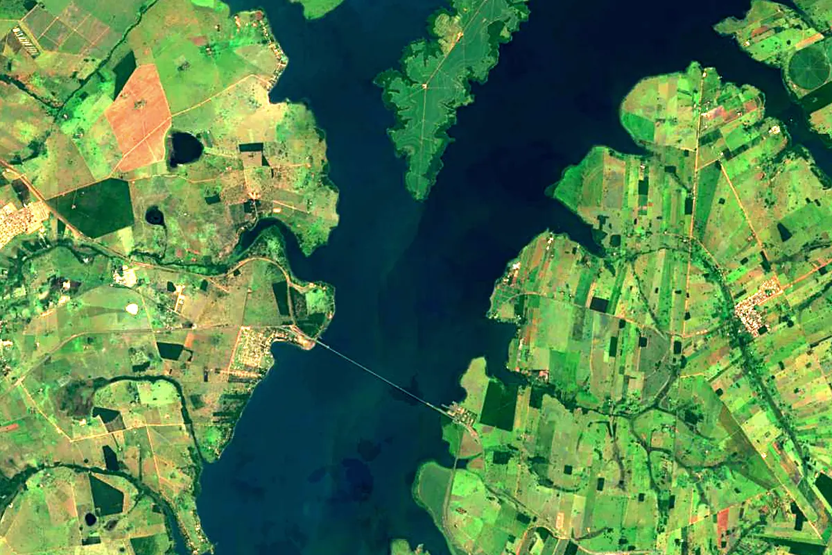
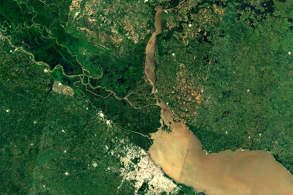
Sentinel-2 cloudless 2016 by EOX IT Services GmbH (contains modified Copernicus Sentinel data 2016), CC BY 4.0. The glowing line is the river as drawn by RiverATLAS.
Photos
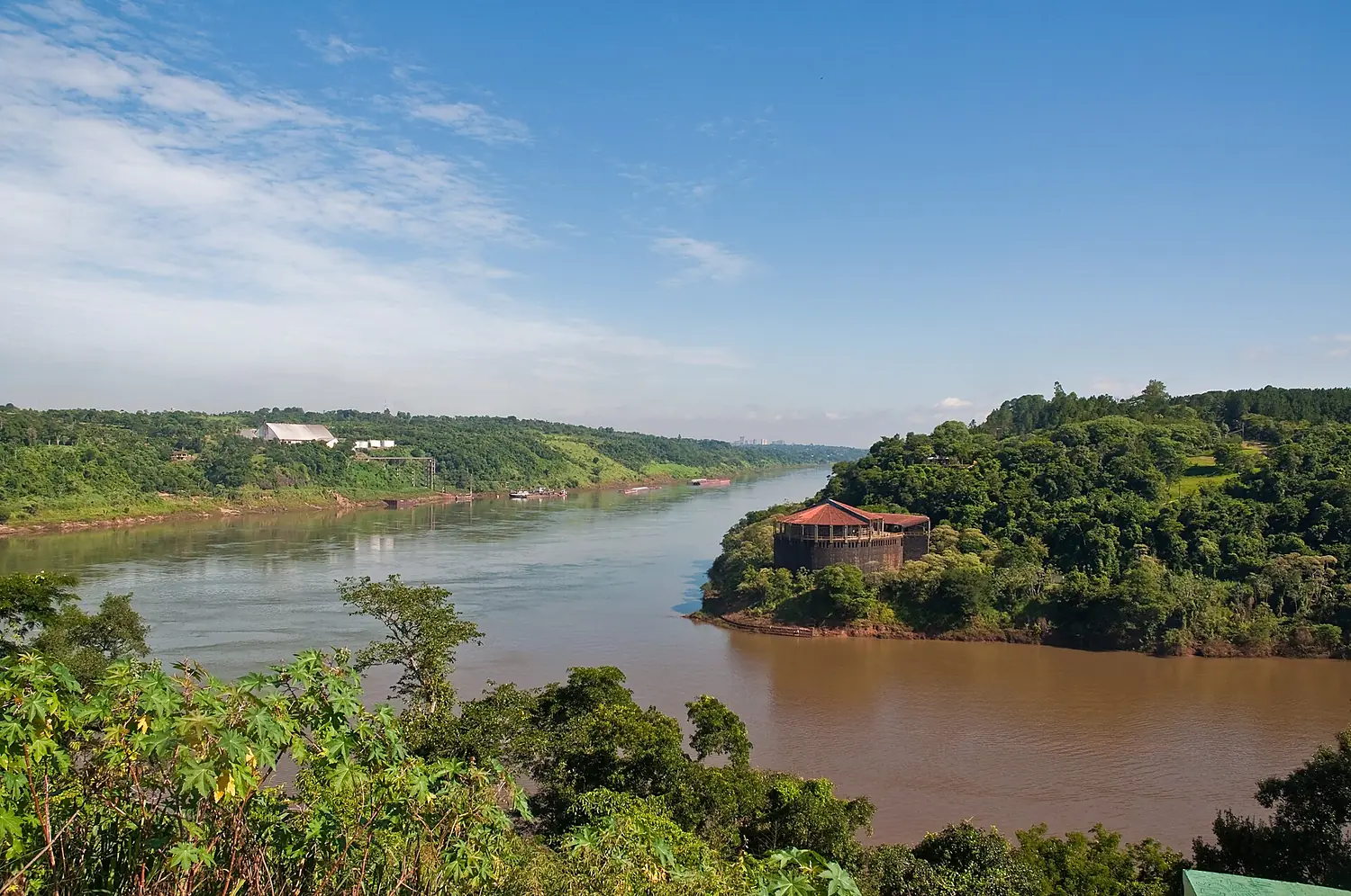
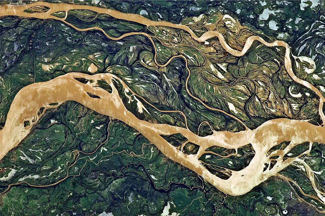
Paraná River in pictures
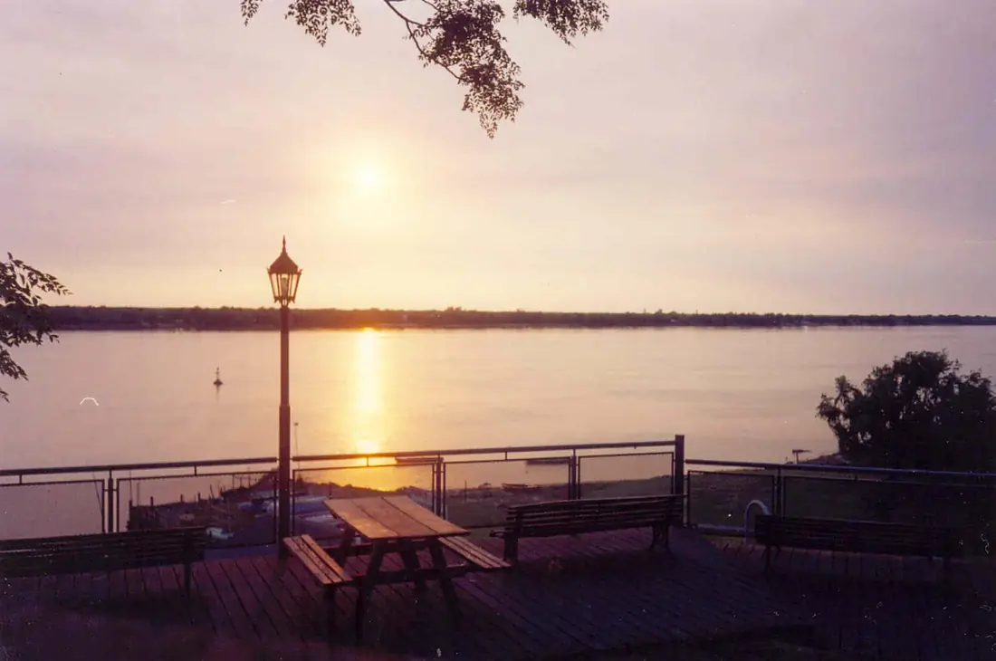
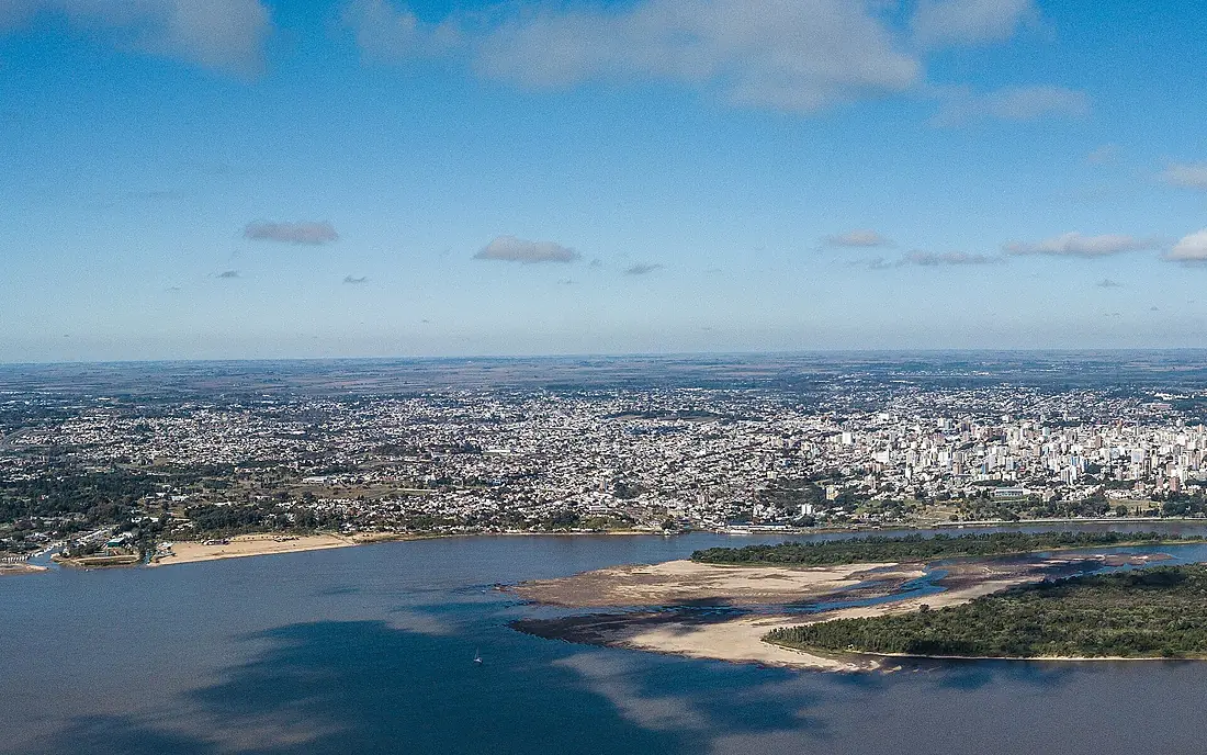
Tributaries
Where it flows, and what flows into it
It flows into
Río de la PlataUruguay290 km22,000 m³/sTributaries (60)
Argentina2,621 km2.7 m³/sjoins at km 2,259Iguazu RiverArgentina1,320 km1,700 m³/sjoins at km 1,661Tietê RiverBrazil1,150 km2,500 m³/sjoins at km 955Salado RiverArgentina1,150 km15 m³/sjoins at km 2,839Grande RiverBrazil1,090 km2,000 m³/sjoins at km 866Paranapanema RiverBrazil929 km1,200 m³/sjoins at km 1,253Paranaíba RiverBrazil900 km1,500 m³/sjoins at km 870Also: Ivaí River, Carcarañá River, Acaray River, Corriente River, Piquiri River, Gualeguay River, Monday River, Aguapeí River, Guayquiraró River, Negro River, Ivinhema River, Sucuriú River, Peixe River, Saladillo Stream, San Javier River, Verde River, Pardo River, Ludueña Stream, São Francisco Falso Braço Norte River, São Francisco River, Iguatemi river, Urugua-í River, Paracaí River, Quitéria River
Where these numbers come from
| Name, length, places | Wikidata (Q127892) · CC0 |
|---|---|
| Course, profile, basin | RiverATLAS v1.0 (HydroATLAS, Linke et al. 2019) · CC BY 4.0 — followed from the source to the mouth given by Wikidata |
| Flow | WaterGAP (RiverATLAS), 1971–2000 · CC BY 4.0 |
| Climate along the river | WorldClim (RiverATLAS), 1970–2000 · CC BY 4.0 |
| Towns, bridges, dams | Wikidata · CC0; GeoNames · CC BY 4.0 |
| Along the river | © OpenStreetMap contributors · ODbL |
| Images | EOX Sentinel-2 cloudless 2016 · CC BY 4.0; Wikimedia Commons |
| Our other atlases | Cascadyas, Lakeyas — Wikidata · CC0; © OpenStreetMap contributors · ODbL; GeoNames · CC BY 4.0; HydroLAKES · CC BY 4.0; NOAA OISST |
Every source and licence is on the data sources page.
The family
Do you prefer beaches, lakes, mountains, waterfalls, islands, rivers or canyons?
Same idea, other landscapes: field atlases built on open data, month by month, in seven languages.
 beaches
 Find your beach: sea temperature, sun and swimming month by month.Visit lakes
 Every lake on Earth: water temperature, ice, depth and the shore.Coming soonVisit
  mountains
 Every summit in 3D: summit weather, the 0 °C line, huts and trails.Visit waterfalls
 Every waterfall: height, flow month by month and when it roars.Coming soonVisit
  islands
 Every island from the sea up: size, sea temperature, ferries and 3D.Coming soonVisit
  rivers
 Every river from source to sea: the journey, the flow and the basin in numbers.You are here
 canyons
 Every canyon cut to scale: depth to the floor, rim and floor temperatures, trails and viewpoints.Coming soonVisit