River
Uruguay River
1,790 km from source to mouth · Uruguay, Brazil and Argentina.

 Uruguay, Brazil and ArgentinaFlows into Río de la Plata2nd longest in Uruguay
In numbers
Length
1,790km
Average flow
4.6m³/s
Basin
365,000km²
Drop
66m
from 66 m to 0 m
Countries
3
The journey
From source to mouth
1,790 km of river and 30 stops on the way: 23 towns and cities on its banks, dams, bridges and the tributaries that feed it.
- 0 kmPelotas Riverat 66 m
- 72 kmConcepción48,123 people
- 323 kmVilla Hayes57,217 people
- 334 kmMariano Roque Alonso72,008 people
- 348 kmAsunción1,482,200 people
- 358 kmLambaré126,377 people
- 365 kmVilla Elisa64,099 people
- 371 kmSan Antonio55,754 people
- 380 kmVilleta36,985 people
- 501 kmFormosa222,226 people
- 516 kmLaguna Oca4.4 km²
- 600 kmPilar32,810 people
- 620 kmLaguna Timbó2.4 km²
- 713 kmCorrientes346,334 people
- 1,032 kmEsquina26,399 people
- 1,114 kmLa Paz24,716 people
- 1,140 kmSanta Elena18,410 people
- 1,253 kmParaná247,139 people
- 1,301 kmDiamante19,545 people
- 1,385 kmFray Luis A. Beltrán14,390 people
- 1,388 kmCapitán Bermúdez27,060 people
- 1,392 kmGranadero Baigorria32,427 people
- 1,403 kmRosario948,312 people
- 1,411 kmGobernador Gálvez74,650 people
- 1,428 kmArroyo Seco20,620 people
- 1,441 kmLaguna Montiel4.2 km²
- 1,461 kmLaguna de López1.4 km²
- 1,467 kmLaguna Ciega2.5 km²
- 1,475 kmLaguna Sauzal1.4 km²
- 1,479 kmLaguna Gorosito1.0 km²
- 1,693 kmNueva Palmira10,775 people
- 1,790 kmRío de la Plataat 0 m
Water level along the river (RiverATLAS; the height is exaggerated). Towns: GeoNames and Wikidata; bridges, dams and tributaries: Wikidata.
River in South America
At the mouth it carries 4.6 m³/s on average: an Olympic pool every 541 seconds. It drops from 66 m to 0 m, 0.0 m per kilometre on average. Its basin covers 365,000 km², about the size of DE. 84.7 million people live in it. Highest water: January and from March to May. It is heavily dammed: reservoirs can hold 54% of a year's flow.
Where to start
- AsunciónLargest city on its banks · 1,482,200 people
- Silvio Pettirossi International Airport (ASU)Nearest airport with scheduled flights, 14 km from the cityCar hire at ASU airport (Asunción)Discover Cars · Affiliate link↗
- On the water98 ferry piers, marinas, boat rentals and boat ramps along the river (OpenStreetMap)
- From May to SeptemberThe best months to visit
Uruguay River, month by month
Highest water: January and from March to May
Best months to visit: from May to September.
From about 12,400 m³/s in the lowest month to 24,900 m³/s in the highest. An estimate: the monthly flow is modelled from the lowest and highest months of WaterGAP (RiverATLAS, 1971–2000) and the rain and snow along the river (WorldClim). Dams change the real rhythm. The chip is the average air temperature; below it, the month's rain.
Plan the trip
Plan the trip: boat trips, a bed by the river, a car
Some links above are affiliate links: if you book through them we may earn a commission, at no extra cost to you. It never changes what the data on this page says.
The basin
Uruguay River: the basin in numbers
2,594,295 km² of land send their water to this river. This is what lives on it.
- 84.7millionpeople live in the basin
- 33/km²people per km²
- 506maverage altitude of the basin
- 1,166mmof rain a year (basin average)
- 21.6°Caverage air temperature
- 7%protected areas
- 0.8%covered by lakes
- 311km³held in reservoirs
What covers the basin
- 31% Forest
- 13% Cropland
- 40% Pasture
- 1% Towns and cities
RiverATLAS (HydroATLAS v1.0, CC BY 4.0): land cover, people, protected areas, glaciers and dams over the whole basin upstream of the mouth.
Along the river
Uruguay River: what you find on the way
- 3Weirs
- 4WaterfallsFuente de los Deseos, Saladillo's waterfalls and 2 more
- 43Boat rampsPoco Hilo, Rampa de la Guardería Náutica Stella Maris, Bajada de lanchas and 40 more
- 19Ferry piersA Valemi, Fuerte Olimpo y Bahia Negra, Puerto Itá Enramada (Py), Puerto Pilcomayo (Arg) and 16 more
- 34MarinasAtracadero Villa Hayes, Embarque Club Mbigua, PUERTO ITA ENRAMADA and 31 more
- 21River beachesPlaya Club Centenario, Playa de la Costanera, playa and 18 more
From OpenStreetMap, within 3.2 km of the river. Not mapped is not the same as not there.
Cross-checked with our atlases
Uruguay River in our other atlases
What our sister atlases know about the waterfalls on this river, the lakes it flows through, the beaches at its mouth, the mountains where it rises and the islands off its mouth.
 7lakes on its wayLakeyas
Lakes and reservoirs (7)
Lakes it flows through, by Lakeyas
- Laguna Ocakm 5334.4km²
- Laguna Timbókm 6402.4km²
- Laguna Montielkm 1,4894.2km²
- Laguna de Lópezkm 1,5101.4km²
- Laguna Ciegakm 1,5162.5km²
- Laguna Sauzalkm 1,5241.4km²
- Laguna Gorositokm 1,5281.0km²
Lakeyas is coming soonOpen Lakeyas ↗
From space
The source and the mouth, seen from orbit
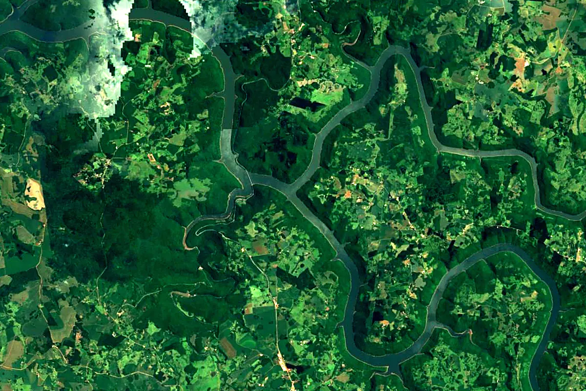
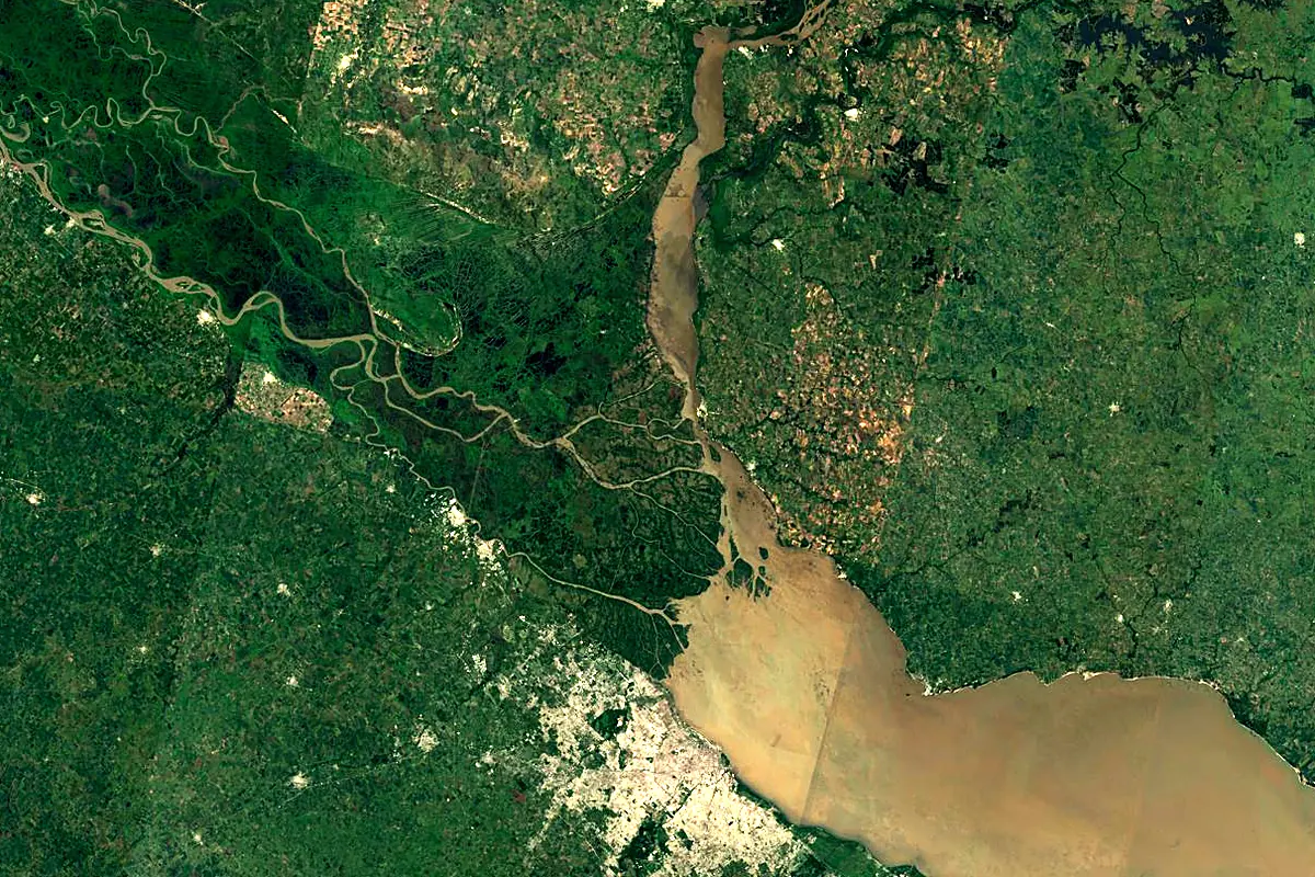
Sentinel-2 cloudless 2016 by EOX IT Services GmbH (contains modified Copernicus Sentinel data 2016), CC BY 4.0. The glowing line is the river as drawn by RiverATLAS.
Photos
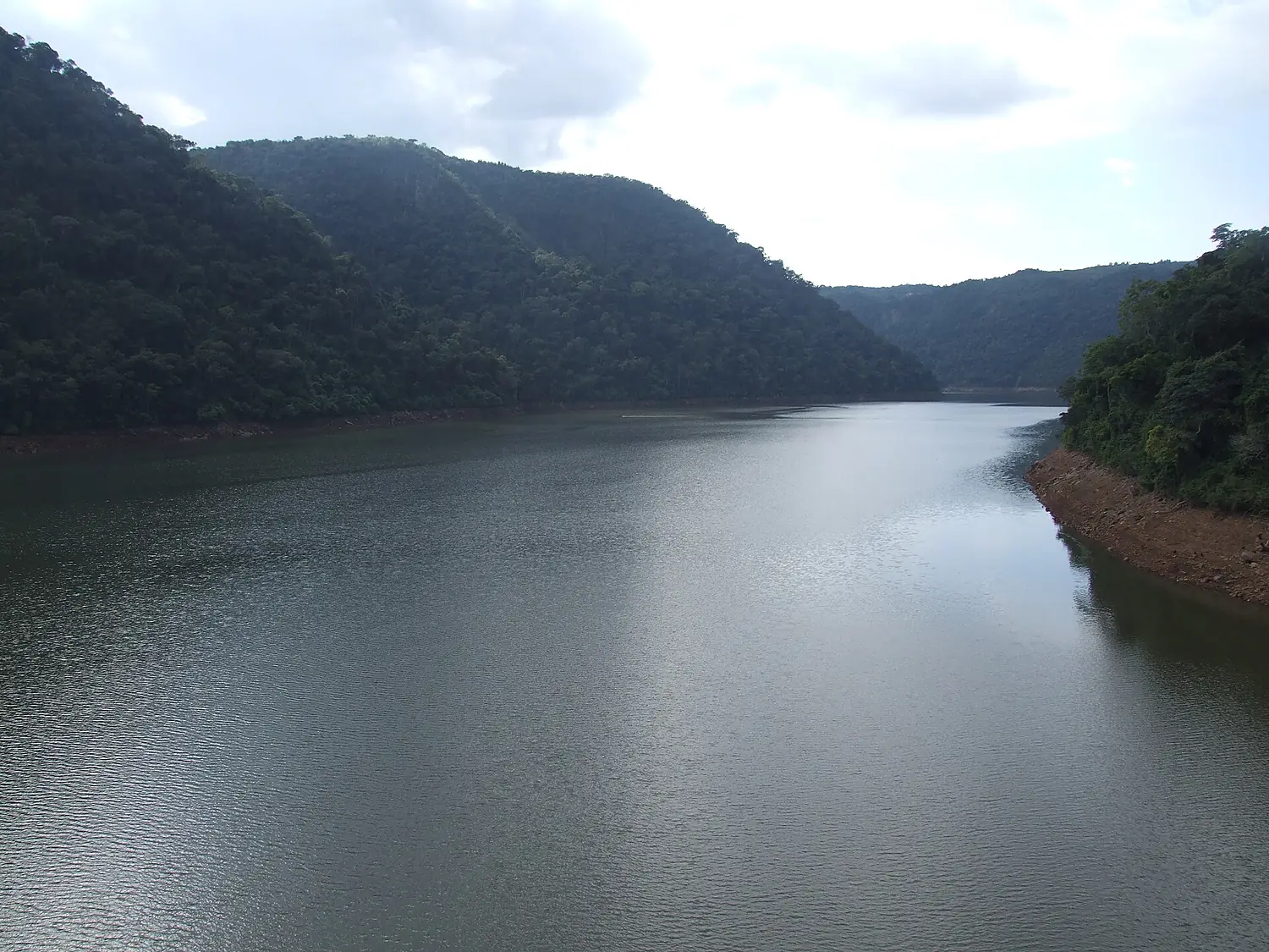
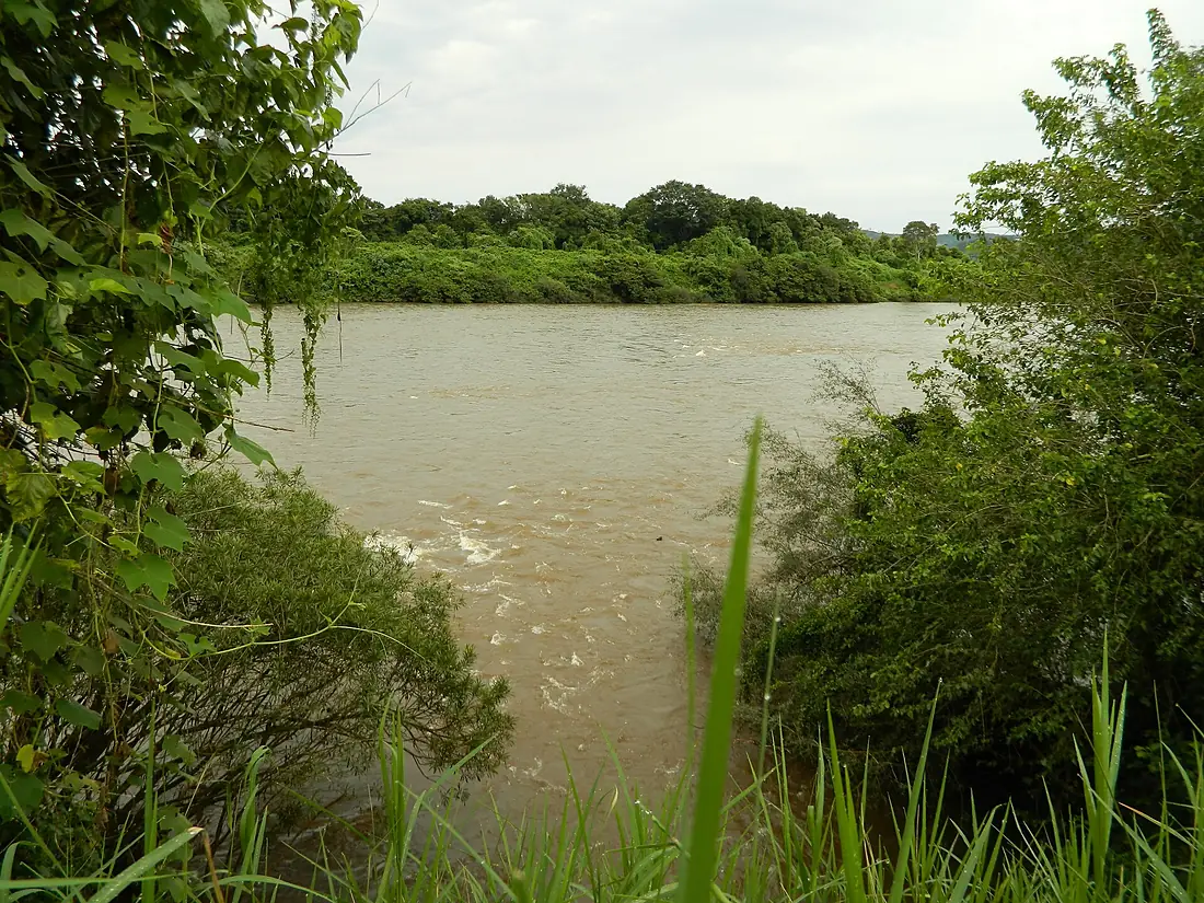
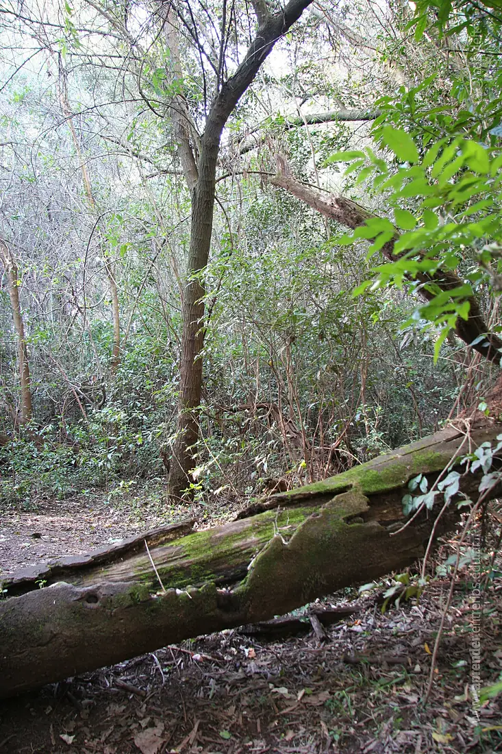
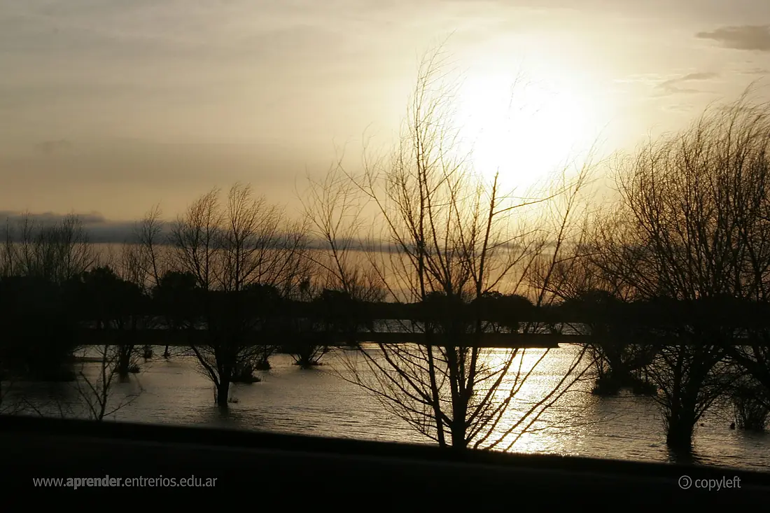
Uruguay River in pictures
Tributaries
Where it flows, and what flows into it
It flows into
Río de la PlataUruguay290 km22,000 m³/sTributaries (90)
Also: Daymán River, San Salvador River, Queguay Grande River, Pelotas River, Arapey Grande River, Canoas River, Ibicuí River, Mocoretá River, Gualeguaychú River, Chapecó River, Ijuí River, Pepiri-Guazu River, Da Várzea River, Taquari River, Peixe River, Miriñay River, Aguapey River, Barra Grande River, Comandaí River, Macaco Branco River, Turvo River, Das Antas River, Arroyo Chapicuy Grande, Guarita River
In the same basin
Uruguay4,880 km16,000 m³/sParaguay RiverArgentina2,621 km2.7 m³/sIguazu RiverArgentina1,320 km1,700 m³/sPilcomayo River Paraguay1,100 km200 m³/sBermejoParaguay1,060 km340 m³/sGrande RiverBrazil1,090 km2,000 m³/sTietê RiverBrazil1,150 km2,500 m³/sSalado RiverArgentina1,150 km15 m³/sParanaíba RiverBrazil900 km1,500 m³/sParanapanema RiverBrazil929 km1,200 m³/s
Where these numbers come from
| Name, length, places | Wikidata (Q18278) · CC0 |
|---|---|
| Course, profile, basin | RiverATLAS v1.0 (HydroATLAS, Linke et al. 2019) · CC BY 4.0 — followed along the river network from the point given by Wikidata |
| Flow | WaterGAP (RiverATLAS), 1971–2000 · CC BY 4.0 |
| Climate along the river | WorldClim (RiverATLAS), 1970–2000 · CC BY 4.0 |
| Towns, bridges, dams | Wikidata · CC0; GeoNames · CC BY 4.0 |
| Along the river | © OpenStreetMap contributors · ODbL |
| Images | EOX Sentinel-2 cloudless 2016 · CC BY 4.0; Wikimedia Commons |
| Our other atlases | Lakeyas — Wikidata · CC0; © OpenStreetMap contributors · ODbL; GeoNames · CC BY 4.0; HydroLAKES · CC BY 4.0; NOAA OISST |
Every source and licence is on the data sources page.
The family
Do you prefer beaches, lakes, mountains, waterfalls, islands, rivers or canyons?
Same idea, other landscapes: field atlases built on open data, month by month, in seven languages.
 beaches
 Find your beach: sea temperature, sun and swimming month by month.Visit lakes
 Every lake on Earth: water temperature, ice, depth and the shore.Coming soonVisit
  mountains
 Every summit in 3D: summit weather, the 0 °C line, huts and trails.Visit
  waterfalls
 Every waterfall: height, flow month by month and when it roars.Coming soonVisit
  islands
 Every island from the sea up: size, sea temperature, ferries and 3D.Coming soonVisit
  rivers
 Every river from source to sea: the journey, the flow and the basin in numbers.You are here
 canyons
 Every canyon cut to scale: depth to the floor, rim and floor temperatures, trails and viewpoints.Coming soonVisit