River
Wabash River
960 km from source to mouth · United States.
 United StatesFlows into Ohio River
In numbers
Length
960km
Average flow
1,000m³/s
Basin
83,600km²
Drop
184m
from 287 m to 103 m
Country
1
The journey
From source to mouth
960 km of river and 40 stops on the way: 11 towns and cities on its banks, dams, bridges and the tributaries that feed it.
- 0 kmSourceat 287 m
- 72 kmCeylon Covered Bridge
- 103 kmBluffton10,005 people
- 143 kmJ. Edward Roush Lake2.3 km²
- 150 kmHuntington17,095 people
- 153 kmRangeline Road Bridge
- 171 kmSalamonie Lake7.5 km²
- 173 kmSalamonie Rivertributary
- 187 kmWabash10,440 people
- 211 kmMississinewa Rivertributary
- 215 kmPeru11,073 people
- 250 kmLogansport18,366 people
- 251 kmEel Rivertributary
- 253 kmWSRY Wabash River Bridge
- 288 kmCarrollton Bridge
- 313 kmTippecanoe Rivertributary
- 318 kmJewettsport Ford Bridge
- 323 kmWildcat Creektributary
- 333 kmWest Lafayette45,550 people
- 334 kmLafayette71,111 people
- 334 kmKBSR Wabash River Bridge
- 371 kmIndependence79 people
- 386 kmWilliamsport1,950 people
- 386 kmWilliamsport Falls
- 443 kmVermilion Rivertributary
- 461 kmLittle Vermilion Rivertributary
- 480 kmBig Raccoon Creektributary
- 495 kmClinton Covered Bridge
- 525 kmTerre Haute60,825 people
- 600 kmHutsonville Bridge
- 677 kmRed Skelton Memorial Bridge
- 681 kmVincennes18,012 people
- 681 kmLincoln Memorial Bridge
- 693 kmEmbarras Rivertributary
- 745 kmWhite Rivertributary
- 746 kmPatoka Rivertributary
- 752 kmBroad Pond12 km²
- 756 kmBeall Woods State Park
- 821 kmNew Harmony Toll Bridge
- 860 kmWabash Memorial Bridge
- 880 kmLittle Wabash Rivertributary
- 960 kmOhio Riverat 103 m
Water level along the river (RiverATLAS; the height is exaggerated). Towns: GeoNames and Wikidata; bridges, dams and tributaries: Wikidata.
Tributary of the Ohio River in the United States
At the mouth it carries 1,001 m³/s on average: an Olympic pool every 2.5 seconds. It drops from 287 m to 103 m, 0.2 m per kilometre on average. Its basin covers 83,600 km², about the size of AT. 21.7 million people live in it. Highest water: from April to June; lowest: from January to February. Dams and reservoirs hold back a large share of its water (13% of a year's flow).
Where to start
- LafayetteLargest city on its banks · 71,111 people
- Purdue University Airport (LAF)Nearest airport with scheduled flights, 5 km from the cityCar hire at IND airport (Indianapolis)Discover Cars · Affiliate link↗
- On the water60 ferry piers, marinas, boat rentals and boat ramps along the river (OpenStreetMap)
- Kayak and canoe3 put-ins and rapids mapped (OpenStreetMap)
- From May to SeptemberThe best months to visit
Wabash River, month by month
Highest water: from April to June
Lowest water: from January to February. Best months to visit: from May to September.
From about 2,200 m³/s in the lowest month to 10,800 m³/s in the highest. An estimate: the monthly flow is modelled from the lowest and highest months of WaterGAP (RiverATLAS, 1971–2000) and the rain and snow along the river (WorldClim). Dams change the real rhythm. The chip is the average air temperature; below it, the month's rain.
Plan the trip
Plan the trip: boat trips, a bed by the river, a car
Some links above are affiliate links: if you book through them we may earn a commission, at no extra cost to you. It never changes what the data on this page says.
The basin
Wabash River: the basin in numbers
363,864 km² of land send their water to this river. This is what lives on it.
- 21.7millionpeople live in the basin
- 61/km²people per km²
- 335maverage altitude of the basin
- 1,096mmof rain a year (basin average)
- 10.9°Caverage air temperature
- 2%protected areas
- 0.4%covered by lakes
- 20km³held in reservoirs
What covers the basin
- 57% Forest
- 35% Cropland
- 5% Pasture
- 4% Towns and cities
RiverATLAS (HydroATLAS v1.0, CC BY 4.0): land cover, people, protected areas, glaciers and dams over the whole basin upstream of the mouth.
Along the river
Wabash River: what you find on the way
- 12Weirs10th Street Dam, Dam Number 49 and 10 more
- 7LocksWabash & Erie Canal, John T. Myers Lock and Dam, Ohio River and 4 more
- 12WaterfallsCharley Creek Falls, France Park Waterfalls, Williamsport Falls and 9 more
- 3RapidsGrand Rapids, Grand Chain Rapids
- 57Boat rampsBoat Launch, River Bluff Trail Canoe Launch, Davis Ferry Park Access and 54 more
- 2Ferry piers
- 5River beachesBikini Bottom Beach, Ubauche Swimming Beach, Kayak Launch & Beach Area and 2 more
From OpenStreetMap, within 2.7 km of the river. Not mapped is not the same as not there.
Cross-checked with our atlases
Wabash River in our other atlases
What our sister atlases know about the waterfalls on this river, the lakes it flows through, the beaches at its mouth, the mountains where it rises and the islands off its mouth.
 1waterfall on the riverCascadyas
 3lakes on its wayLakeyas
Waterfalls (1)
On the river, by Cascadyas
- Williamsport Fallskm 304
Cascadyas is coming soonOpen Cascadyas ↗
Lakes and reservoirs (3)
Lakes it flows through, by Lakeyas
- J. Edward Roush Lakekm 1132.3km²
- Salamonie Lakekm 1357.5km²
- Broad Pondkm 59312km²
Lakeyas is coming soonOpen Lakeyas ↗
From space
The source and the mouth, seen from orbit
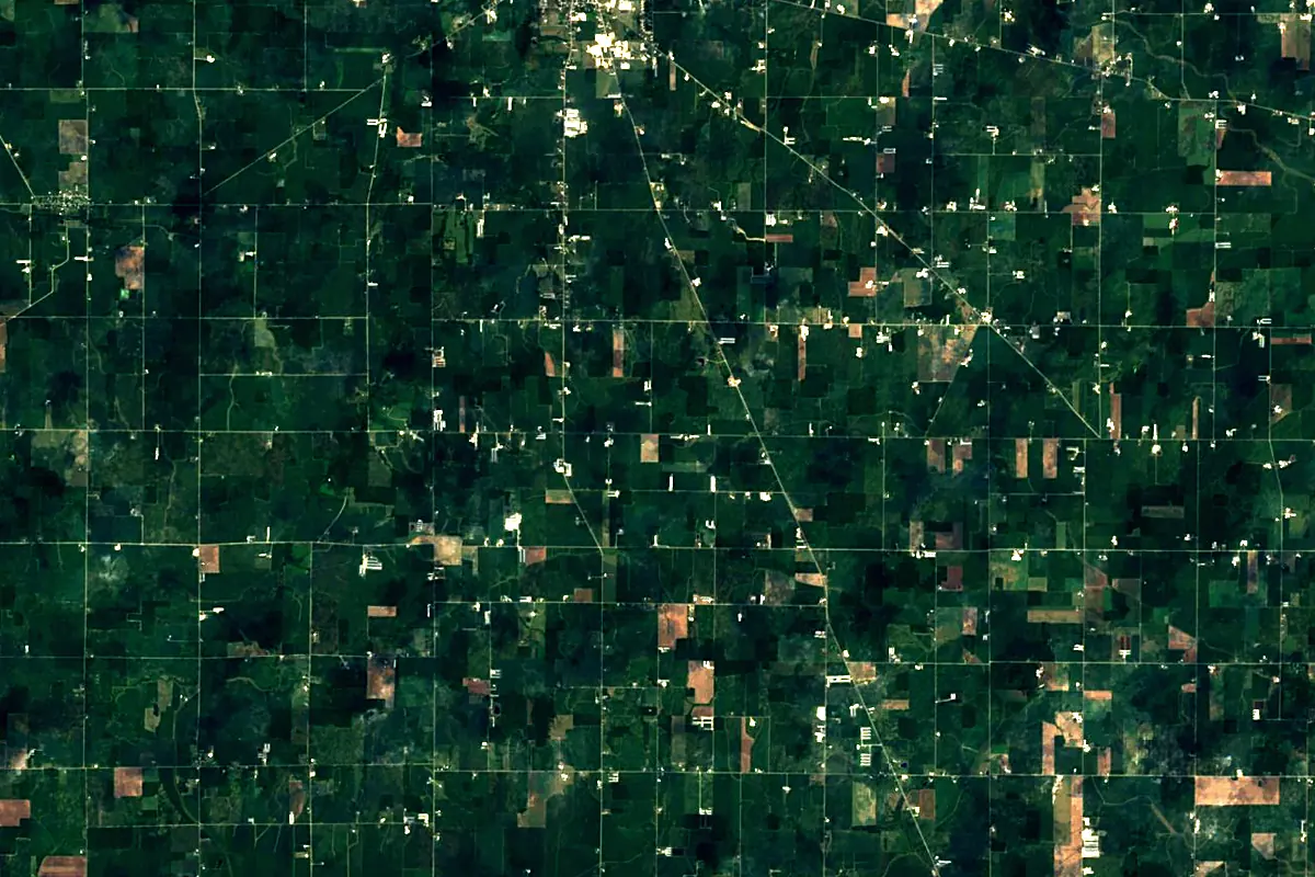
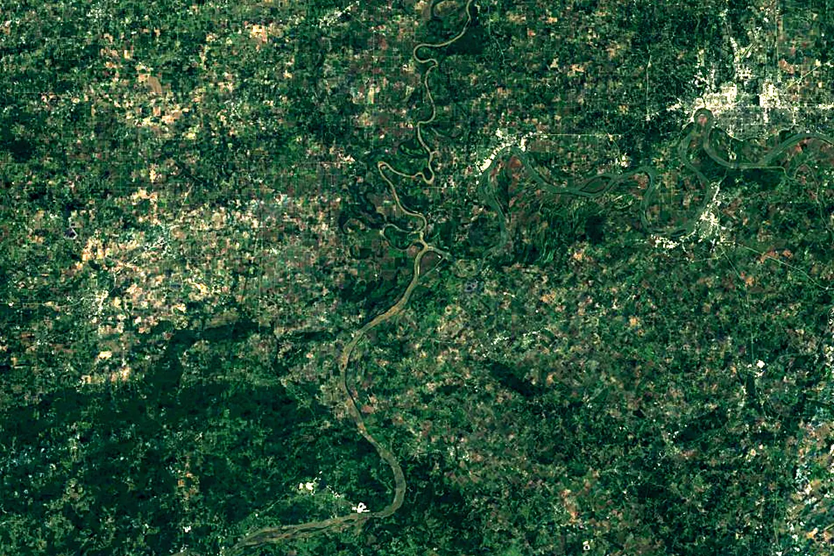
Sentinel-2 cloudless 2016 by EOX IT Services GmbH (contains modified Copernicus Sentinel data 2016), CC BY 4.0. The glowing line is the river as drawn by RiverATLAS.
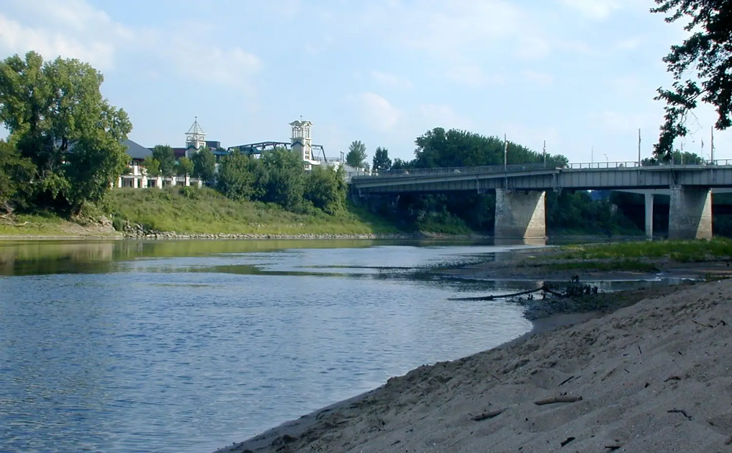
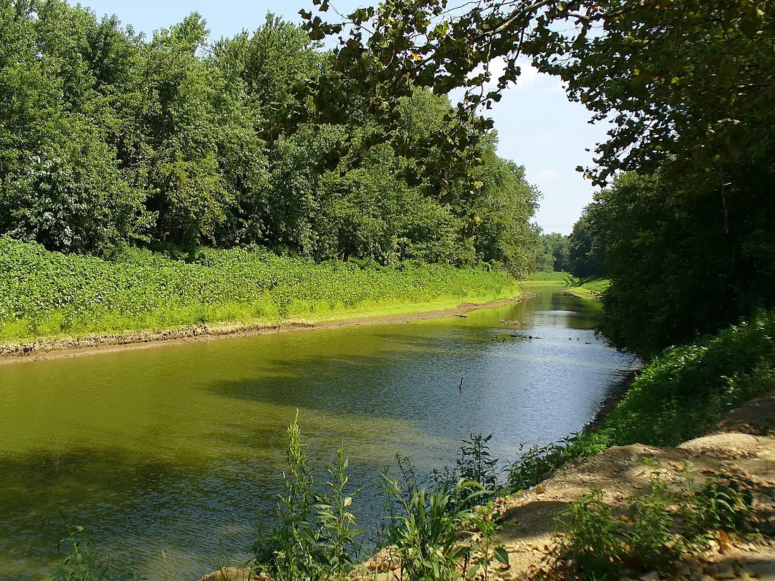
Photos
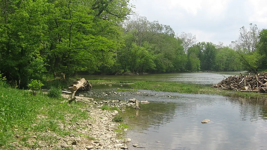
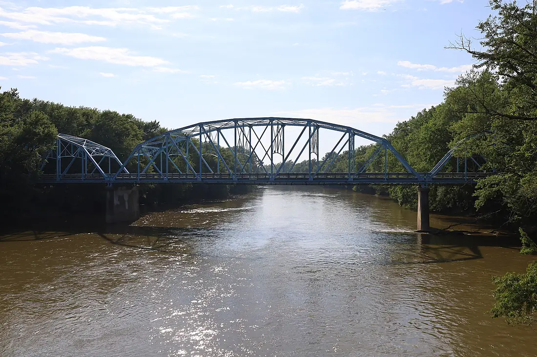
Wabash River in pictures
Tributaries
Where it flows, and what flows into it
It flows into
Ohio RiverUnited States1,579 km8,000 m³/sTributaries (17)
Also: White River, Tippecanoe River, Embarras River, Mississinewa River, Salamonie River, Vermilion River, Wildcat Creek, Little Wabash River, Eel River, Little Vermilion River, Patoka River, Sugar Creek, Big Pine Creek, Big Raccoon Creek, Bonpas Creek, Little River, Otter Creek
In the same basin
United States3,766 km12,700 m³/sMissouri RiverUnited States3,726 km2,500 m³/sArkansas RiverUnited States2,364 km240 m³/sTennessee RiverUnited States1,049 km2,000 m³/sRed RiverUnited States2,189 km1,900 m³/sYellowstone RiverUnited States1,114 km390 m³/sPlatte RiverUnited States500 km200 m³/sCanadian RiverUnited States1,458 km200 m³/sIllinois RiverUnited States432 km660 m³/sAllegheny RiverUnited States523 km560 m³/sNearby
Rivers nearby
United States1,049 km2,000 m³/s90 km awayCumberland RiverUnited States1,107 km860 m³/s80 km awayMissouri RiverUnited States3,726 km2,500 m³/s215 km awayIllinois RiverUnited States432 km660 m³/s249 km awayKentucky RiverUnited States417 km280 m³/s270 km awayOsage RiverUnited States444 km310 m³/s351 km awayDes Moines RiverUnited States845 km250 m³/s412 km awaySt. Francis RiverUnited States686 km400 m³/s418 km awayWhere these numbers come from
| Name, length, places | Wikidata (Q196183) · CC0 |
|---|---|
| Course, profile, basin | RiverATLAS v1.0 (HydroATLAS, Linke et al. 2019) · CC BY 4.0 — followed from the source to the mouth given by Wikidata |
| Flow | WaterGAP (RiverATLAS), 1971–2000 · CC BY 4.0 |
| Climate along the river | WorldClim (RiverATLAS), 1970–2000 · CC BY 4.0 |
| Towns, bridges, dams | Wikidata · CC0; GeoNames · CC BY 4.0 |
| Along the river | © OpenStreetMap contributors · ODbL |
| Images | EOX Sentinel-2 cloudless 2016 · CC BY 4.0; Wikimedia Commons |
| Our other atlases | Cascadyas, Lakeyas — Wikidata · CC0; © OpenStreetMap contributors · ODbL; GeoNames · CC BY 4.0; HydroLAKES · CC BY 4.0; NOAA OISST |
Every source and licence is on the data sources page.
The family
Do you prefer beaches, lakes, mountains, waterfalls, islands, rivers or canyons?
Same idea, other landscapes: field atlases built on open data, month by month, in seven languages.
 beaches
 Find your beach: sea temperature, sun and swimming month by month.Visit lakes
 Every lake on Earth: water temperature, ice, depth and the shore.Coming soonVisit
  mountains
 Every summit in 3D: summit weather, the 0 °C line, huts and trails.Visit waterfalls
 Every waterfall: height, flow month by month and when it roars.Coming soonVisit
  islands
 Every island from the sea up: size, sea temperature, ferries and 3D.Coming soonVisit
  rivers
 Every river from source to sea: the journey, the flow and the basin in numbers.You are here
 canyons
 Every canyon cut to scale: depth to the floor, rim and floor temperatures, trails and viewpoints.Coming soonVisit