River
Missouri River
3,726 km from source to mouth · United States.
 United StatesFlows into Mississippi River2nd longest in United States
In numbers
Length
3,726km
Average flow
2,500m³/s
Basin
1,371,010km²
Drop
1,112m
from 1,230 m to 118 m
Country
1
The journey
From source to mouth
3,726 km of river and 68 stops on the way: 9 towns and cities on its banks, dams, bridges and the tributaries that feed it.
- 0 kmSourceat 1,230 m
- 4 kmJefferson Rivertributary
- 4 kmMadison Rivertributary
- 12 kmGallatin Rivertributary
- 42 kmSixteen Mile Creektributary
- 101 kmCanyon Ferry Lake121 km²
- 181 kmDearborn Rivertributary
- 231 kmSmith Rivertributary
- 273 kmSun Rivertributary
- 274 kmColter Falls
- 274 kmRainbow Falls
- 281 kmBig Falls
- 289 kmBelt Creektributary
- 360 kmMarias Rivertributary
- 451 kmArrow Creektributary
- 457 kmJudith Rivertributary
- 513 kmCow Creektributary
- 616 kmMusselshell Rivertributary
- 764 kmFort Peck Lake814 km²
- 778 kmMilk Rivertributary
- 889 kmPoplar Rivertributary
- 954 kmBig Muddy Creektributary
- 1,014 kmYellowstone Rivertributary
- 1,293 kmLake Sakakawea1,127 km²
- 1,316 kmKnife Rivertributary
- 1,408 kmHeart Rivertributary
- 1,467 kmCannonball Rivertributary
- 1,577 kmGrand Rivertributary
- 1,610 kmMoreau Rivertributary
- 1,708 kmCheyenne Rivertributary
- 1,764 kmLake Oahe1,093 km²
- 1,775 kmPierre14,091 people
- 1,779 kmBad Rivertributary
- 1,895 kmLake Sharpe228 km²
- 1,946 kmWhite Rivertributary
- 2,115 kmNiobrara Rivertributary
- 2,163 kmLewis and Clark Lake85 km²
- 2,165 kmLake Yankton0.9 km²
- 2,170 kmYankton15,411 people
- 2,182 kmJames Rivertributary
- 2,218 kmVermillion Rivertributary
- 2,263 kmMcCook Lake0.6 km²
- 2,275 kmBig Sioux Rivertributary
- 2,291 kmFloyd Rivertributary
- 2,367 kmLittle Sioux Rivertributary
- 2,407 kmDeSoto Lake (Iowa)2.8 km²
- 2,421 kmBoyer Rivertributary
- 2,435 kmCarter Lake1.1 km²
- 2,444 kmOmaha486,051 people
- 2,451 kmBellevue64,176 people
- 2,455 kmLake Manawa2.7 km²
- 2,467 kmBase Lake0.4 km²
- 2,476 kmPlatte Rivertributary
- 2,490 kmBeaver Lake0.8 km²
- 2,550 kmNishnabotna Rivertributary
- 2,642 kmWolf Rivertributary
- 2,665 kmNodaway Rivertributary
- 2,685 kmSt. Joseph72,473 people
- 2,693 kmLake Contrary1.3 km²
- 2,736 kmBean Lake1.4 km²
- 2,762 kmLeavenworth37,351 people
- 2,790 kmRiss Lake0.4 km²
- 2,804 kmKansas Rivertributary
- 2,804 kmKansas City508,090 people
- 2,818 kmBlue Rivertributary
- 2,842 kmCooley Lake0.3 km²
- 2,997 kmChariton Rivertributary
- 3,131 kmJefferson City43,228 people
- 3,291 kmChesterfield49,999 people
- 3,726 kmMississippi Riverat 118 m
Water level along the river (RiverATLAS; the height is exaggerated). Towns: GeoNames and Wikidata; bridges, dams and tributaries: Wikidata.
Major river in central United States
At the mouth it carries 2,478 m³/s on average: an Olympic pool every 1.0 seconds. It drops from 1,230 m to 118 m, 0.3 m per kilometre on average. Its basin covers 1,371,010 km², about the size of PE. 12.6 million people live in it. Highest water: June; lowest: from January to February. It is heavily dammed: reservoirs can hold 144% of a year's flow.
Where to start
- Kansas CityLargest city on its banks · 508,090 people
- Kansas City International Airport (MCI)Nearest airport with scheduled flights, 30 km from the cityCar hire at MCI airport (Kansas City)Discover Cars · Affiliate link↗
- On the water338 ferry piers, marinas, boat rentals and boat ramps along the river (OpenStreetMap)
- Kayak and canoe21 put-ins and rapids mapped (OpenStreetMap)
- From May to SeptemberThe best months to visit
Missouri River, month by month
Highest water: June
Lowest water: from January to February. Freezing months (average below −4 °C): from December to February. Best months to visit: from May to September.
From about 1,700 m³/s in the lowest month to 4,800 m³/s in the highest. An estimate: the monthly flow is modelled from the lowest and highest months of WaterGAP (RiverATLAS, 1971–2000) and the rain and snow along the river (WorldClim). Dams change the real rhythm. The chip is the average air temperature; below it, the month's rain.
Plan the trip
Plan the trip: boat trips, a bed by the river, a car
Some links above are affiliate links: if you book through them we may earn a commission, at no extra cost to you. It never changes what the data on this page says.
The basin
Missouri River: the basin in numbers
1,326,743 km² of land send their water to this river. This is what lives on it.
- 12.6millionpeople live in the basin
- 10/km²people per km²
- 994maverage altitude of the basin
- 513mmof rain a year (basin average)
- 7.4°Caverage air temperature
- 4%protected areas
- 0.7%covered by lakes
- 134km³held in reservoirs
What covers the basin
- 13% Forest
- 37% Cropland
- 44% Pasture
- 1% Towns and cities
RiverATLAS (HydroATLAS v1.0, CC BY 4.0): land cover, people, protected areas, glaciers and dams over the whole basin upstream of the mouth.
Along the river
Missouri River: what you find on the way
- 25WeirsKatz Dam and 24 more
- 10WaterfallsBlack Eagle Falls, Rainbow Falls, Crooked Falls and 7 more
- 20RapidsBrunots Rapids, Flennikens Rapids, Lone Pine Rapids and 17 more
- 1Canoe put-ins
- 304Boat rampsBoat Launch, York Bridge, Fort Benton BLM Boat Launch and 301 more
- 7Ferry piersSioux Ferry and 6 more
- 25MarinasGoose Bay Marina, Kim's Marina, Yacht Basin Marina and 22 more
- 4River beachesBlack Sandy Beach, Pebble Beach, Hobie Cat Beach and 1 more
From OpenStreetMap, within 3.1 km of the river. Not mapped is not the same as not there.
Cross-checked with our atlases
Missouri River in our other atlases
What our sister atlases know about the waterfalls on this river, the lakes it flows through, the beaches at its mouth, the mountains where it rises and the islands off its mouth.
 4waterfalls on the riverCascadyas
 17lakes on its wayLakeyas
 1mountain at the sourcePeakyas
Waterfalls (4)
On the river, by Cascadyas
- Colter Fallskm 277
- Rainbow Fallskm 278
- Big Fallskm 285
- Great Fallskm 285
Cascadyas is coming soonOpen Cascadyas ↗
Lakes and reservoirs (17)
Lakes it flows through, by Lakeyas
- Canyon Ferry Lakekm 102121km²
- Fort Peck Lakekm 774814km²
- Lake Sakakaweakm 1,309 · 55 m deep1,127km²
- Lake Oahekm 1,787 · 62 m deep1,093km²
- Lake Sharpekm 1,919228km²
- Lewis and Clark Lakekm 2,191 · 14 m deep85km²
- Lake Manawakm 2,4862.7km²
- Bean Lakekm 2,7711.4km²
9 more on LakeyasLakeyas is coming soonOpen Lakeyas ↗
From space
The source and the mouth, seen from orbit
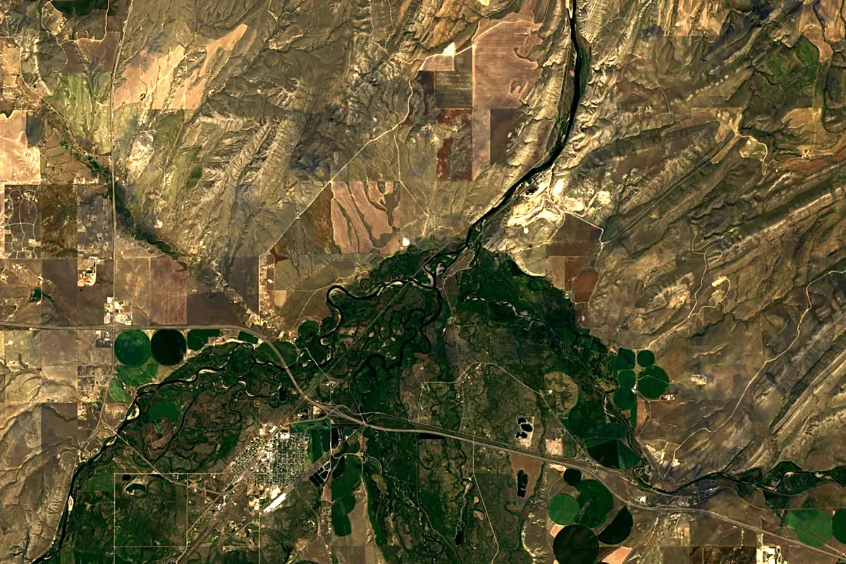
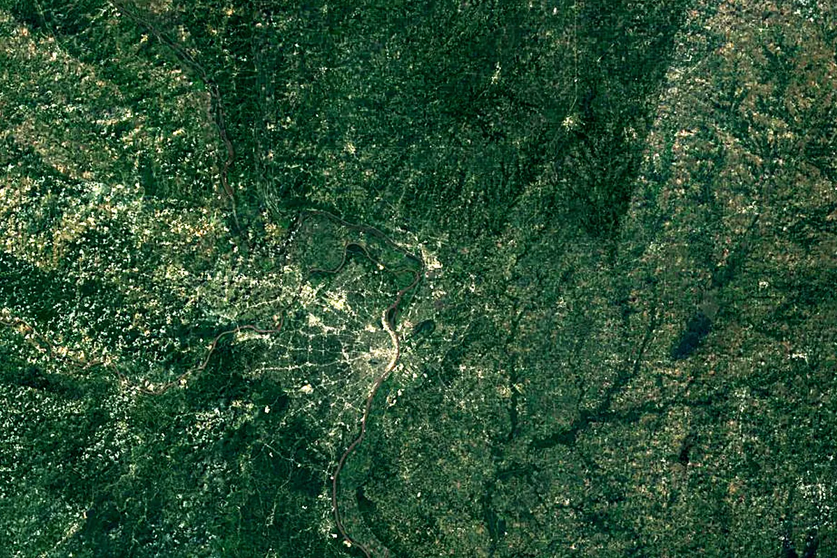
Sentinel-2 cloudless 2016 by EOX IT Services GmbH (contains modified Copernicus Sentinel data 2016), CC BY 4.0. The glowing line is the river as drawn by RiverATLAS.
Photos
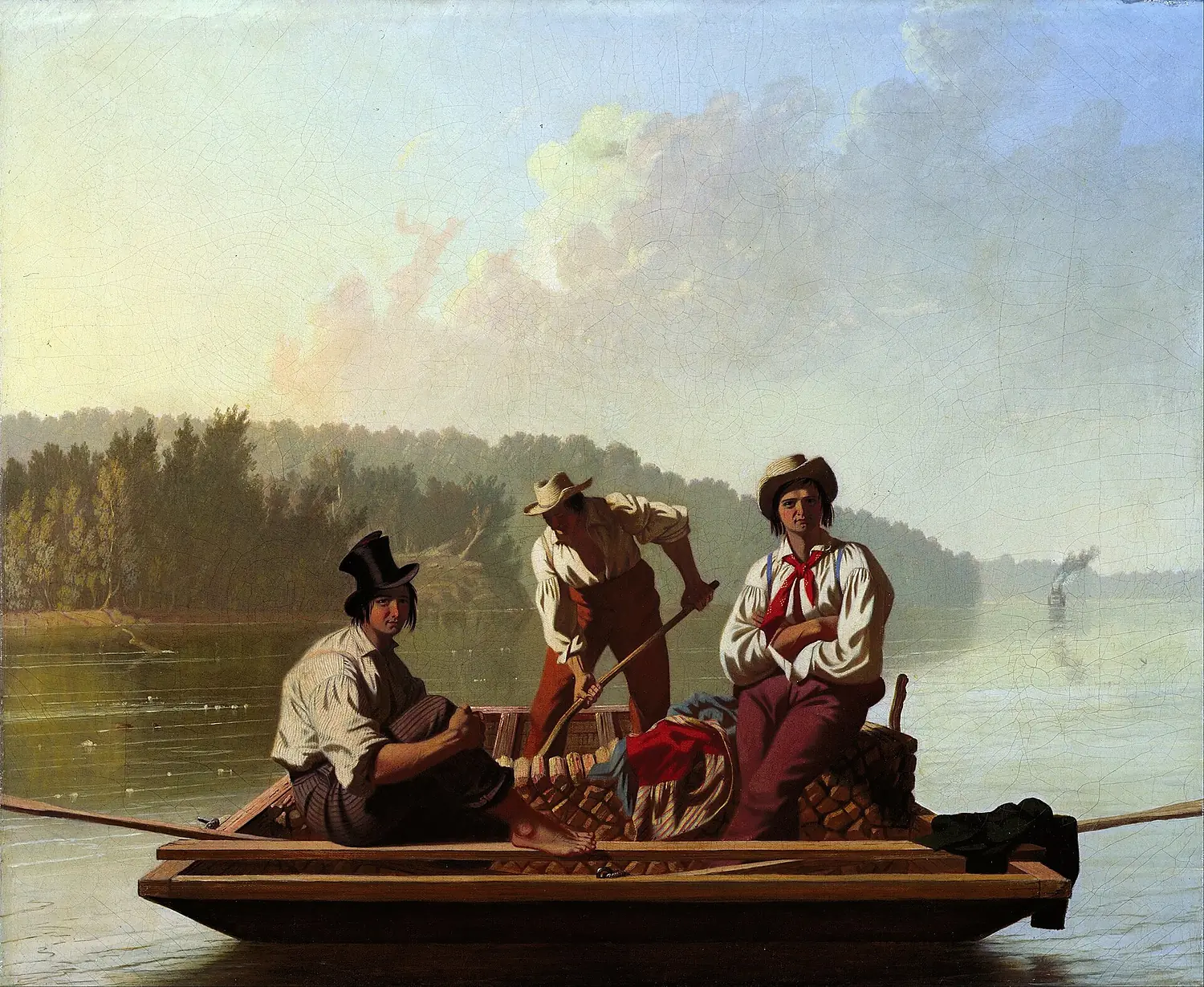
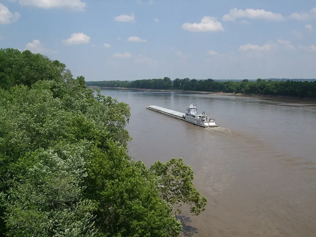
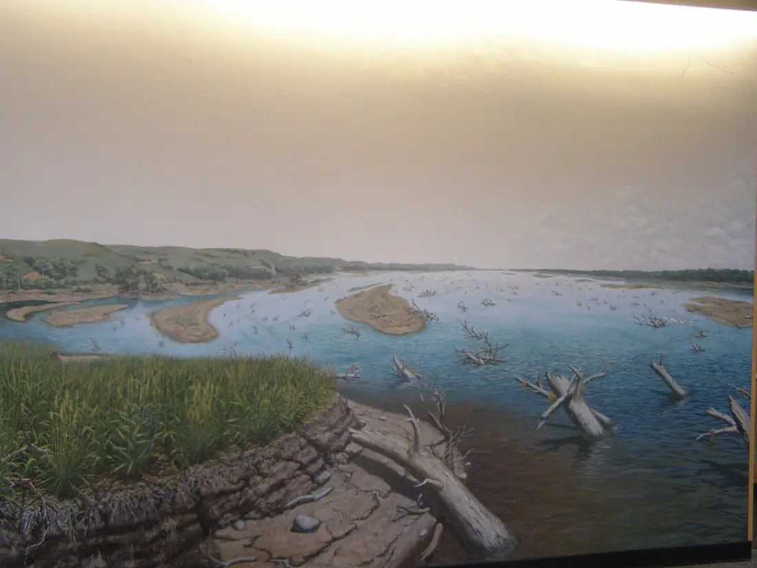
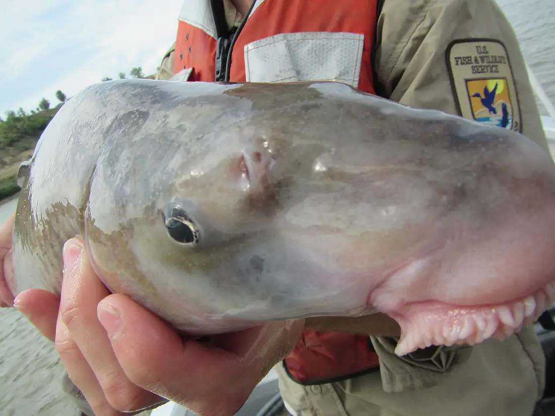
Missouri River in pictures
Tributaries
Where it flows, and what flows into it
It flows into
Mississippi RiverUnited States3,766 km12,700 m³/sTributaries (69)
United States1,173 km17 m³/sjoins at km 788James RiverUnited States1,143 km18 m³/sjoins at km 2,210Yellowstone RiverUnited States1,114 km390 m³/sjoins at km 1,026White RiverUnited States933 km990 m³/sjoins at km 1,971Niobrara RiverUnited States915 km1,000 m³/sjoins at km 2,142Platte RiverUnited States500 km200 m³/sjoins at km 2,507Cheyenne RiverUnited States475 km65 m³/sjoins at km 1,730Osage RiverUnited States444 km310 m³/sjoins at km 3,196Kansas RiverUnited States238 km210 m³/sjoins at km 2,839Jefferson RiverUnited States134 km54 m³/sjoins at km 4Also: Little Missouri River, Big Sioux River, Roe River, Madison River, Gallatin River, Grand River, Heart River, Musselshell River, Marias River, Cannonball River, Moreau River, Sun River, Bad River, Gasconade River, Little Sioux River, Knife River, Vermillion River, Platte River, Big Muddy Creek, Judith River, Dearborn River, Poplar River, Floyd River, Boyer River
In the same basin
United States1,579 km8,000 m³/sArkansas RiverUnited States2,364 km240 m³/sTennessee RiverUnited States1,049 km2,000 m³/sRed RiverUnited States2,189 km1,900 m³/sCanadian RiverUnited States1,458 km200 m³/sIllinois RiverUnited States432 km660 m³/sAllegheny RiverUnited States523 km560 m³/sCumberland RiverUnited States1,107 km860 m³/sWabash RiverUnited States960 km1,000 m³/sCimarron RiverUnited States1,123 km1,100 m³/sNearby
Rivers nearby
United States432 km660 m³/s34 km awayOhio RiverUnited States1,579 km8,000 m³/s220 km awayOsage RiverUnited States444 km310 m³/s157 km awayTennessee RiverUnited States1,049 km2,000 m³/s235 km awayWabash RiverUnited States960 km1,000 m³/s215 km awayDes Moines RiverUnited States845 km250 m³/s207 km awayCumberland RiverUnited States1,107 km860 m³/s239 km awayIowa RiverUnited States520 km280 m³/s273 km awayWhere these numbers come from
| Name, length, places | Wikidata (Q5419) · CC0 |
|---|---|
| Course, profile, basin | RiverATLAS v1.0 (HydroATLAS, Linke et al. 2019) · CC BY 4.0 — followed from the source to the mouth given by Wikidata |
| Flow | WaterGAP (RiverATLAS), 1971–2000 · CC BY 4.0 |
| Climate along the river | WorldClim (RiverATLAS), 1970–2000 · CC BY 4.0 |
| Towns, bridges, dams | Wikidata · CC0; GeoNames · CC BY 4.0 |
| Along the river | © OpenStreetMap contributors · ODbL |
| Images | EOX Sentinel-2 cloudless 2016 · CC BY 4.0; Wikimedia Commons |
| Our other atlases | Cascadyas, Lakeyas, Peakyas — Wikidata · CC0; © OpenStreetMap contributors · ODbL; GeoNames · CC BY 4.0; HydroLAKES · CC BY 4.0; NOAA OISST |
Every source and licence is on the data sources page.
The family
Do you prefer beaches, lakes, mountains, waterfalls, islands, rivers or canyons?
Same idea, other landscapes: field atlases built on open data, month by month, in seven languages.
 beaches
 Find your beach: sea temperature, sun and swimming month by month.Visit lakes
 Every lake on Earth: water temperature, ice, depth and the shore.Coming soonVisit mountains
 Every summit in 3D: summit weather, the 0 °C line, huts and trails.Visit waterfalls
 Every waterfall: height, flow month by month and when it roars.Coming soonVisit
  islands
 Every island from the sea up: size, sea temperature, ferries and 3D.Coming soonVisit
  rivers
 Every river from source to sea: the journey, the flow and the basin in numbers.You are here
 canyons
 Every canyon cut to scale: depth to the floor, rim and floor temperatures, trails and viewpoints.Coming soonVisit