River
Belaya
1,430 km from source to mouth · Russia.
 RussiaFlows into Kama
In numbers
Length
1,430km
Average flow
950m³/s
Basin
142,000km²
Drop
543m
from 600 m to 57 m
Country
1
The journey
From source to mouth
1,430 km of river and 68 stops on the way: 8 towns and cities on its banks, dams, bridges and the tributaries that feed it.
- 0 kmSourceat 600 m
- 22 kmBolshoy Avnyartributary
- 48 kmTirlyan Reservoir1.8 km²
- 49 kmTirlyantributary
- 84 kmBeloretsk Reservoir2.3 km²
- 86 kmBeloretsk70,468 people
- 89 kmNuratributary
- 107 kmYatvatributary
- 155 kmUzyansk Reservoir0.7 km²
- 173 kmUzyantributary
- 191 kmKagatributary
- 201 kmBolshoy Avzyantributary
- 201 kmTergatributary
- 272 kmAlakuyantributary
- 295 kmKanatributary
- 310 kmYamashlatributary
- 426 kmIrtyubyaktributary
- 484 kmBalzatributary
- 490 kmMeleuztributary
- 508 kmNugushtributary
- 527 kmTereklashkatributary
- 567 kmIshimbay70,421 people
- 573 kmStaritsa0.4 km²
- 573 kmTayruktributary
- 597 kmAshkadartributary
- 598 kmSterlitamak267,231 people
- 612 kmSeleuktributary
- 640 kmKuganaktributary
- 655 kmZigantributary
- 678 kmUsolkatributary
- 753 kmZilimtributary
- 774 kmSimtributary
- 778 kmKarlamantributary
- 793 kmBolshoy Tolpak0.7 km²
- 833 kmUrshaktributary
- 838 kmArkhimandritskoye0.6 km²
- 850 kmUfatributary
- 859 kmOrenburgsky Bridge
- 862 kmUfa Rail Bridge
- 867 kmDyomatributary
- 873 kmZaton Bridge
- 890 kmOzero Sosnovoye1.1 km²
- 911 kmOzero Karyaka2.8 km²
- 918 kmOzero Somovoye0.8 km²
- 920 kmOzero Abyzovo0.6 km²
- 926 kmBlagoveshchensk34,238 people
- 946 kmOzero Arakul'0.9 km²
- 968 kmKarmasantributary
- 982 kmOzero Staritsa3.1 km²
- 1,006 kmKushnarënkovo10,650 people
- 1,028 kmChermasantributary
- 1,083 kmBirsk41,014 people
- 1,084 kmLake Shamsutdin1.4 km²
- 1,091 kmBirtributary
- 1,195 kmDyurtyuli31,087 people
- 1,199 kmEvbazatributary
- 1,207 kmKuvashtributary
- 1,228 kmOzero Gryaznoye (lanaw sa Rusya, Bashkortostan, lat 55,69, long 54,68)1.1 km²
- 1,241 kmBystry Tanyptributary
- 1,245 kmBazatributary
- 1,271 kmSyuntributary
- 1,277 kmOzero Tatysh0.3 km²
- 1,289 kmStaraya Syuntributary
- 1,291 kmStaraya Belaya4.0 km²
- 1,291 kmAqtanış9,905 people
- 1,296 kmOzero El'bakkul'1.5 km²
- 1,302 kmOzero Embay0.6 km²
- 1,305 kmOzero Laboda2.9 km²
- 1,328 kmOzero Sutlekul'0.9 km²
- 1,430 kmKamaat 57 m
Water level along the river (RiverATLAS; the height is exaggerated). Towns: GeoNames and Wikidata; bridges, dams and tributaries: Wikidata.
River in Bashkiria and Tatarstan, Russia
At the mouth it carries 950 m³/s on average: an Olympic pool every 2.6 seconds. It drops from 600 m to 57 m, 0.4 m per kilometre on average. Its basin covers 142,000 km², about the size of TJ. 4.0 million people live in it. Highest water, with the snowmelt: from April to July; lowest: from December to March. Its dams hold back little of its water (4.3% of a year's flow).
Where to start
- UfaLargest city on its banks · 1,144,809 people
- Ufa International Airport (UFA)Nearest airport with scheduled flights, 19 km from the city
- On the water21 ferry piers, marinas, boat rentals and boat ramps along the river (OpenStreetMap)
- Kayak and canoe2 put-ins and rapids mapped (OpenStreetMap)
- From May to AugustThe best months to visit
Belaya, month by month
Highest water: from April to July
Lowest water: from December to March. Freezing months (average below −4 °C): from November to March. Melting snow makes up much of its water. Best months to visit: from May to August.
From about 170 m³/s in the lowest month to 3,400 m³/s in the highest. An estimate: the monthly flow is modelled from the lowest and highest months of WaterGAP (RiverATLAS, 1971–2000) and the rain and snow along the river (WorldClim). Dams change the real rhythm. The chip is the average air temperature; below it, the month's rain.
Plan the trip
Plan the trip: boat trips, a bed by the river, a car
Some links above are affiliate links: if you book through them we may earn a commission, at no extra cost to you. It never changes what the data on this page says.
The basin
Belaya: the basin in numbers
141,521 km² of land send their water to this river. This is what lives on it.
- 4.0millionpeople live in the basin
- 29/km²people per km²
- 318maverage altitude of the basin
- 549mmof rain a year (basin average)
- 2.0°Caverage air temperature
- 8%protected areas
- 0.3%covered by lakes
- 1.4km³held in reservoirs
What covers the basin
- 51% Forest
- 26% Cropland
- 13% Pasture
- 1% Towns and cities
RiverATLAS (HydroATLAS v1.0, CC BY 4.0): land cover, people, protected areas, glaciers and dams over the whole basin upstream of the mouth.
Along the river
Belaya: what you find on the way
- 3Weirs
- 12WaterfallsShawlaktash and 11 more
- 2Rapids
- 17Ferry piers
- 3Marinas
- 4River beaches
From OpenStreetMap, within 2.5 km of the river. Not mapped is not the same as not there.
Cross-checked with our atlases
Belaya in our other atlases
What our sister atlases know about the waterfalls on this river, the lakes it flows through, the beaches at its mouth, the mountains where it rises and the islands off its mouth.
 20lakes on its wayLakeyas
 7mountains at the sourcePeakyas
Lakes and reservoirs (20)
Lakes it flows through, by Lakeyas
- Tirlyan Reservoirkm 421.8km²
- Beloretsk Reservoirkm 742.3km²
- Uzyansk Reservoirkm 137 · 4 m deep0.7km²
- Staritsakm 5060.4km²
- Arkhimandritskoyekm 7400.6km²
- Ozero Abyzovokm 8130.6km²
- Lake Shamsutdinkm 9571.4km²
- Ozero Tatyshkm 1,1280.3km²
12 more on LakeyasLakeyas is coming soonOpen Lakeyas ↗
Mountains at the source (7)
Within 15 km of the source, by Peakyas
- Gora Malyy Iremel'9.9 km away
- Gora Razvorotnya12 km away
- Gora Bol'shoy Sharshalybiik6.3 km away
- Gora Kubyak14 km away
- Gora Ukozya7.6 km away
- Gora Sakmuil14 km away
- Gora Birsinskaya12 km away
From space
The source and the mouth, seen from orbit
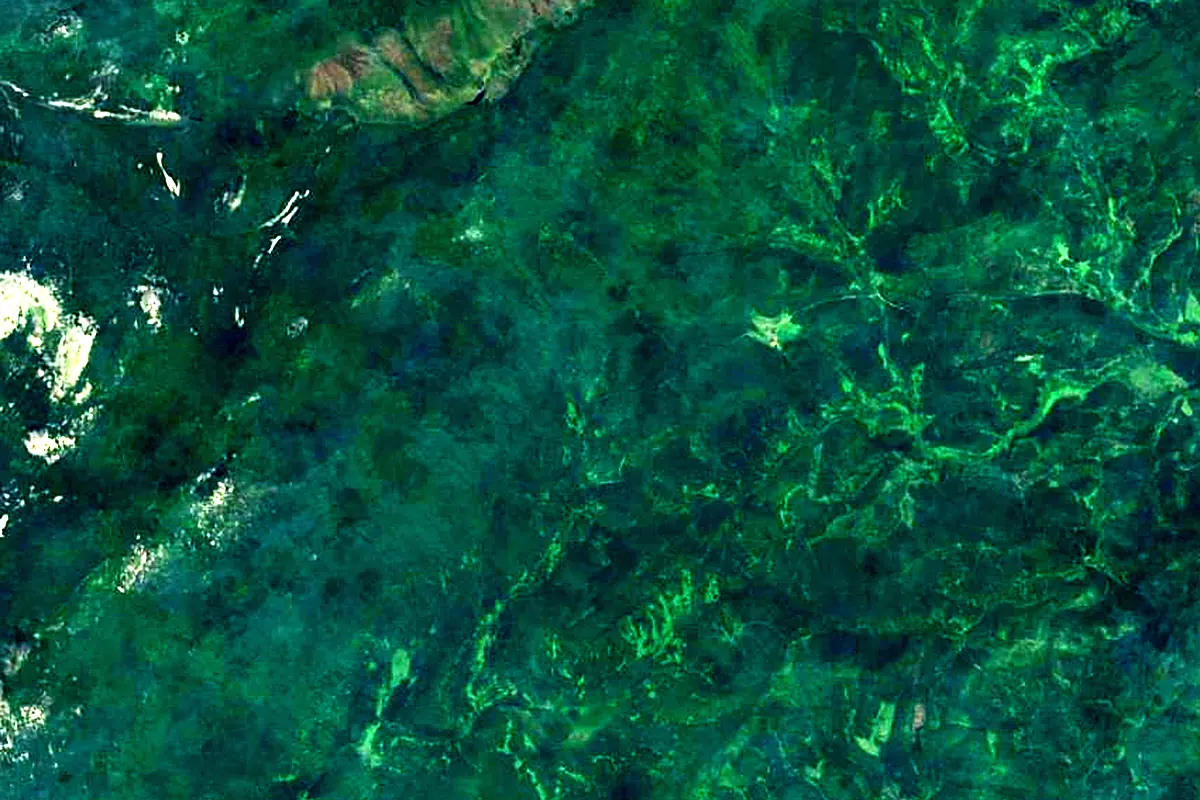
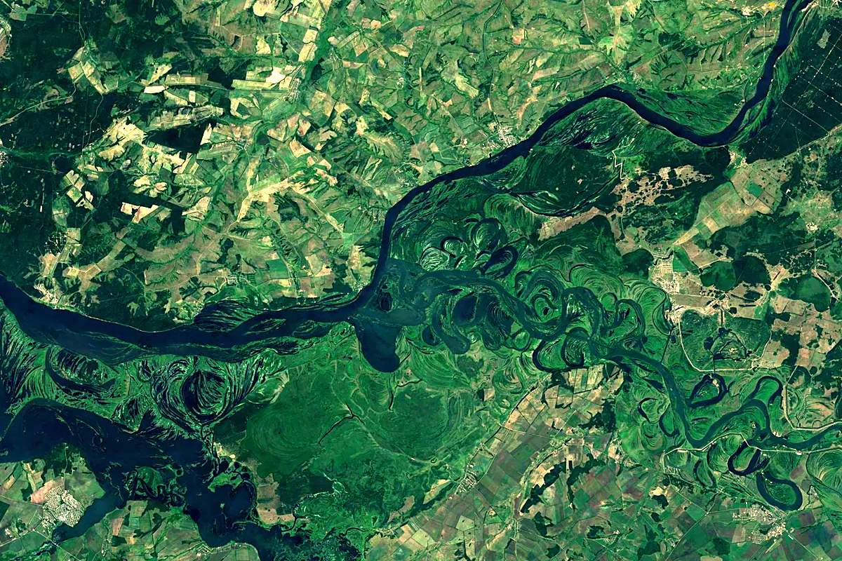
Sentinel-2 cloudless 2016 by EOX IT Services GmbH (contains modified Copernicus Sentinel data 2016), CC BY 4.0. The glowing line is the river as drawn by RiverATLAS.
Photos
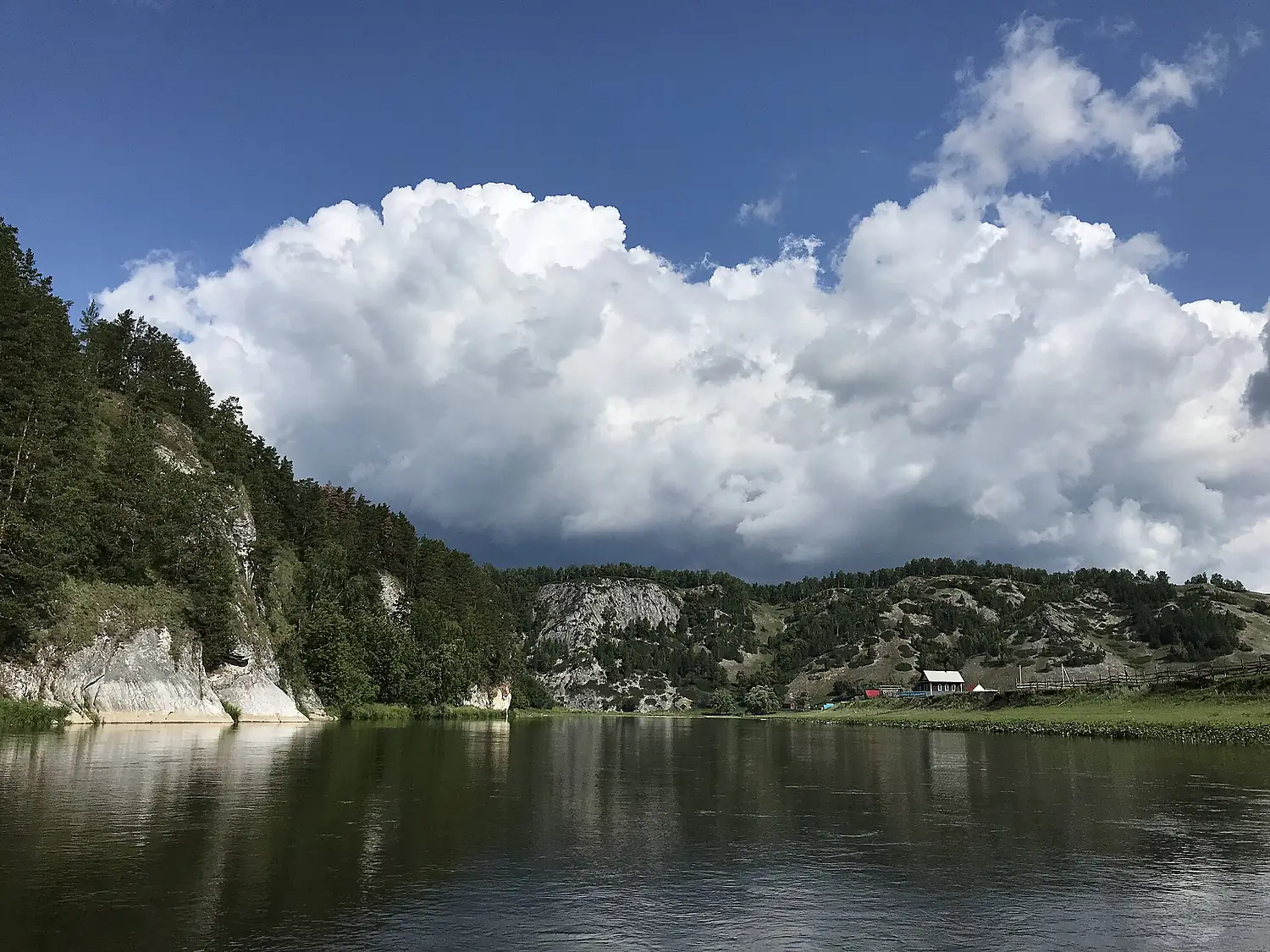
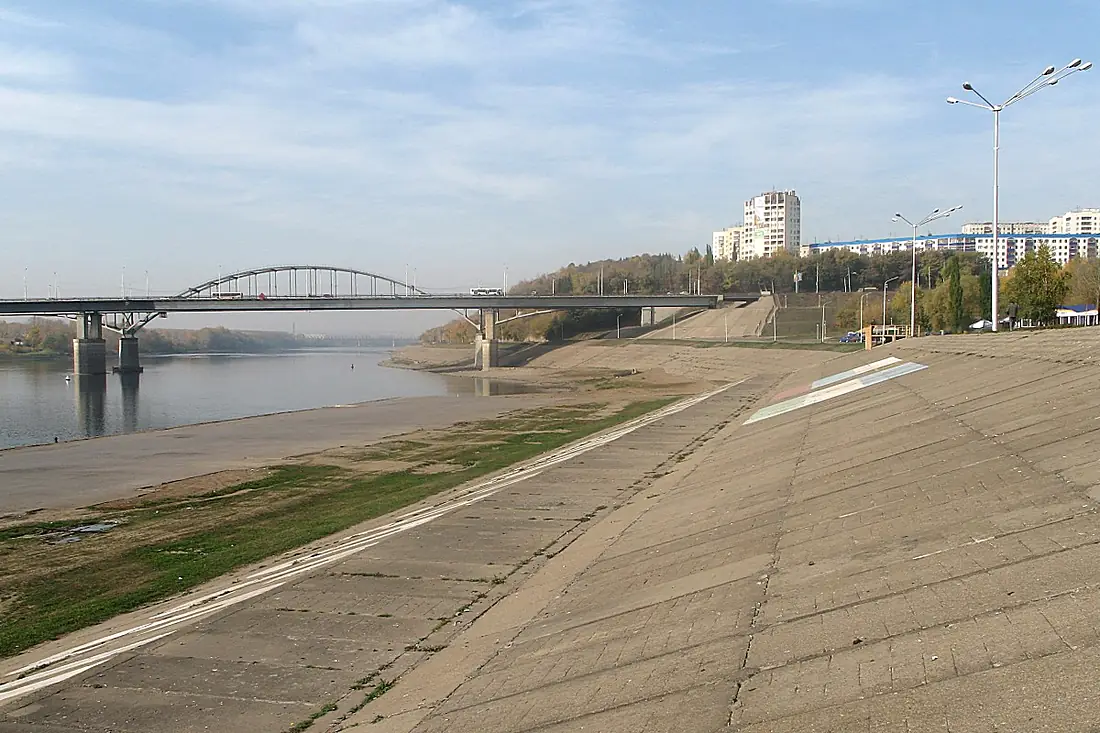
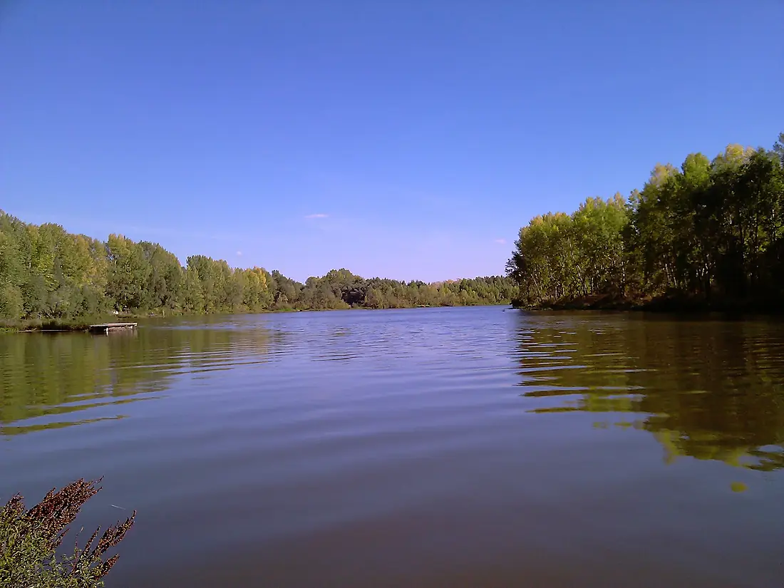
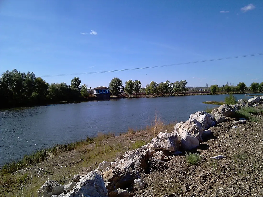
Belaya in pictures
Tributaries
Where it flows, and what flows into it
It flows into
KamaRussia1,805 km4,100 m³/sTributaries (89)
Also: Dyoma, Sim, Nugush, Bystry Tanyp, Syun, Zilim, Urshak, Chermasan, Tirlyan, Zigan, Bir, Ashkadar, Karmasan, Kaga, Bolshaya Sargaya, Bolshoy Avzyan, Irgizla, Baza, Alakuyan, Ashkarka, Bolshoy Avnyar, Buganak, Vashish, Vishnyovy Dol
Nearby
Rivers nearby
Where these numbers come from
| Name, length, places | Wikidata (Q192157) · CC0 |
|---|---|
| Course, profile, basin | RiverATLAS v1.0 (HydroATLAS, Linke et al. 2019) · CC BY 4.0 — followed from the source to the mouth given by Wikidata |
| Flow | WaterGAP (RiverATLAS), 1971–2000 · CC BY 4.0 |
| Climate along the river | WorldClim (RiverATLAS), 1970–2000 · CC BY 4.0 |
| Towns, bridges, dams | Wikidata · CC0; GeoNames · CC BY 4.0 |
| Along the river | © OpenStreetMap contributors · ODbL |
| Images | EOX Sentinel-2 cloudless 2016 · CC BY 4.0; Wikimedia Commons |
| Our other atlases | Lakeyas, Peakyas — Wikidata · CC0; © OpenStreetMap contributors · ODbL; GeoNames · CC BY 4.0; HydroLAKES · CC BY 4.0; NOAA OISST |
Every source and licence is on the data sources page.
The family
Do you prefer beaches, lakes, mountains, waterfalls, islands, rivers or canyons?
Same idea, other landscapes: field atlases built on open data, month by month, in seven languages.
 beaches
 Find your beach: sea temperature, sun and swimming month by month.Visit lakes
 Every lake on Earth: water temperature, ice, depth and the shore.Coming soonVisit mountains
 Every summit in 3D: summit weather, the 0 °C line, huts and trails.Visit
  waterfalls
 Every waterfall: height, flow month by month and when it roars.Coming soonVisit
  islands
 Every island from the sea up: size, sea temperature, ferries and 3D.Coming soonVisit
  rivers
 Every river from source to sea: the journey, the flow and the basin in numbers.You are here
 canyons
 Every canyon cut to scale: depth to the floor, rim and floor temperatures, trails and viewpoints.Coming soonVisit