River
Klyazma
686 km from source to mouth · Russia.
 RussiaFlows into Oka
In numbers
Length
686km
Average flow
150m³/s
Basin
42,500km²
Drop
125m
from 191 m to 66 m
Country
1
The journey
From source to mouth
686 km of river and 68 stops on the way: 30 towns and cities on its banks, dams, bridges and the tributaries that feed it.
- 0 kmMoscow Oblastat 191 m
- 11 kmMendeleyevo7,964 people
- 25 kmRadomlyatributary
- 30 kmNovopodrezkovo10,271 people
- 38 kmSheremet’yevskiy6,500 people
- 40 kmDolgoprudnyy68,259 people
- 40 kmSevernyy200,000 people
- 41 kmVinogradovo9,600 people
- 44 kmMescherikhatributary
- 58 kmKlyazma Reservoir11 km²
- 59 kmPirogovskiy6,208 people
- 65 kmPushkino102,816 people
- 65 kmMamontovka8,817 people
- 69 kmYubileyny32,508 people
- 69 kmBolshevo10,133 people
- 80 kmUchatributary
- 81 kmZagoryanskiy7,514 people
- 83 kmShchyolkovo113,000 people
- 96 kmSverdlovskiy5,636 people
- 103 kmLosino-Petrovskiy22,116 people
- 104 kmVoryatributary
- 106 kmMonino19,852 people
- 111 kmObukhovo10,616 people
- 119 kmShalovkatributary
- 126 kmNoginsk115,979 people
- 127 kmChernogolovkatributary
- 136 kmZagryobkatributary
- 138 kmShernatributary
- 143 kmBol’shiye Dvory5,790 people
- 146 kmPavlovskiy Posad60,051 people
- 162 kmVokhonkatributary
- 163 kmDrezna11,386 people
- 168 kmKabanovo23,414 people
- 177 kmOrekhovo-Zuyevo120,000 people
- 186 kmKirzhachtributary
- 199 kmVolgatributary
- 228 kmBolshaya Lipnyatributary
- 228 kmSen'gatributary
- 230 kmKosterevo9,349 people
- 235 kmPekshatributary
- 240 kmTortsatributary
- 246 kmBolshaya Ushmatributary
- 253 kmPolyatributary
- 265 kmToymigatributary
- 284 kmSobinka20,458 people
- 289 kmVorshatributary
- 298 kmKolokshatributary
- 330 kmVladimir357,024 people
- 339 kmRpentributary
- 349 kmNerltributary
- 375 kmUshchertributary
- 379 kmSudogdatributary
- 386 kmSineborkatributary
- 403 kmOzero Velikoye0.4 km²
- 437 kmNerekhtatributary
- 442 kmKovrov154,224 people
- 458 kmUvodtributary
- 467 kmSmekhrovskoe0.5 km²
- 499 kmShizhegdatributary
- 502 kmTezatributary
- 511 kmSerzukhatributary
- 526 kmTaratributary
- 553 kmVyazniki39,243 people
- 566 kmIstoktributary
- 575 kmLukhtributary
- 600 kmGorokhovets14,247 people
- 607 kmLyulikhtributary
- 626 kmIlyinogorsk7,267 people
- 631 kmSuvoroschtributary
- 686 kmOkaat 66 m
Water level along the river (RiverATLAS; the height is exaggerated). Towns: GeoNames and Wikidata; bridges, dams and tributaries: Wikidata.
River in Moscow, Vladimir, Ivanovo, and Nizhny Novgorod Oblasts, Russia
At the mouth it carries 147 m³/s on average: an Olympic pool every 17 seconds. It drops from 191 m to 66 m, 0.2 m per kilometre on average. Its basin covers 42,500 km², about the size of DK. 3.8 million people live in it. Highest water, with the snowmelt: from April to May; lowest: from December to March. Its dams hold back little of its water (3.2% of a year's flow).
Where to start
- VladimirLargest city on its banks · 357,024 people
- Ivanovo South Airport (IWA)Nearest airport with scheduled flights, 95 km from the city
- On the water58 ferry piers, marinas, boat rentals and boat ramps along the river (OpenStreetMap)
- Kayak and canoe4 put-ins and rapids mapped (OpenStreetMap)
- From May to AugustThe best months to visit
Klyazma, month by month
Highest water: from April to May
Lowest water: from December to March. Freezing months (average below −4 °C): from December to February. Melting snow makes up much of its water. Best months to visit: from May to August.
From about 65 m³/s in the lowest month to 1,100 m³/s in the highest. An estimate: the monthly flow is modelled from the lowest and highest months of WaterGAP (RiverATLAS, 1971–2000) and the rain and snow along the river (WorldClim). Dams change the real rhythm. The chip is the average air temperature; below it, the month's rain.
Plan the trip
Plan the trip: boat trips, a bed by the river, a car
Some links above are affiliate links: if you book through them we may earn a commission, at no extra cost to you. It never changes what the data on this page says.
The basin
Klyazma: the basin in numbers
42,421 km² of land send their water to this river. This is what lives on it.
- 3.8millionpeople live in the basin
- 90/km²people per km²
- 137maverage altitude of the basin
- 613mmof rain a year (basin average)
- 4.4°Caverage air temperature
- 7%protected areas
- 0.5%covered by lakes
- 0.2km³held in reservoirs
What covers the basin
- 54% Forest
- 24% Cropland
- 11% Pasture
- 5% Towns and cities
RiverATLAS (HydroATLAS v1.0, CC BY 4.0): land cover, people, protected areas, glaciers and dams over the whole basin upstream of the mouth.
Along the river
Klyazma: what you find on the way
- 9Weirs
- 1Locks
- 1Waterfalls
- 4Rapids
- 14Boat ramps
- 14Ferry piers
- 24MarinasMGU Yacht Club and 23 more
- 11River beaches
From OpenStreetMap, within 2.2 km of the river. Not mapped is not the same as not there.
Cross-checked with our atlases
Klyazma in our other atlases
What our sister atlases know about the waterfalls on this river, the lakes it flows through, the beaches at its mouth, the mountains where it rises and the islands off its mouth.
 3lakes on its wayLakeyas
Lakes and reservoirs (3)
Lakes it flows through, by Lakeyas
- Klyazma Reservoirkm 4911km²
- Ozero Velikoyekm 3450.4km²
- Smekhrovskoekm 3990.5km²
Lakeyas is coming soonOpen Lakeyas ↗
From space
The source and the mouth, seen from orbit
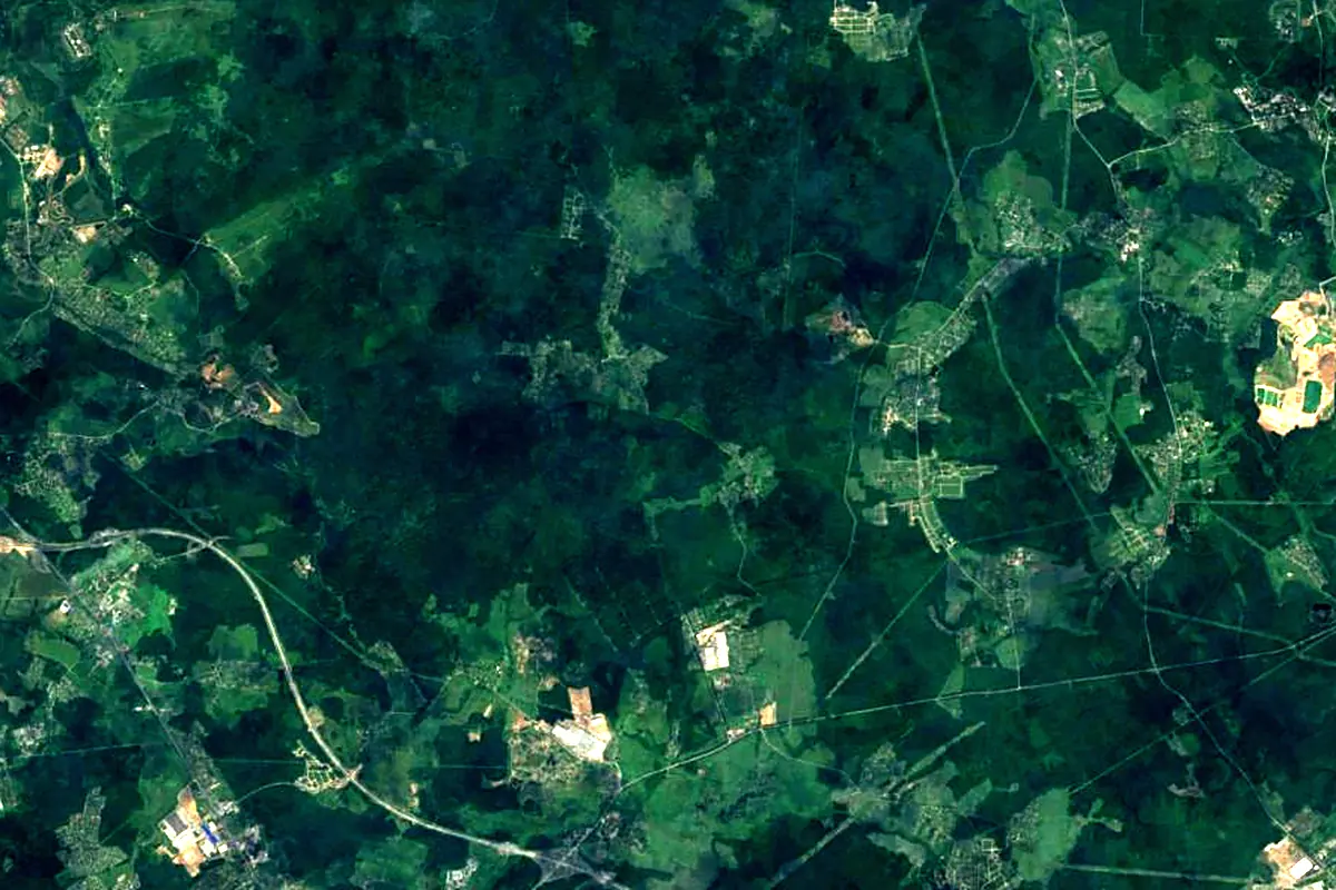
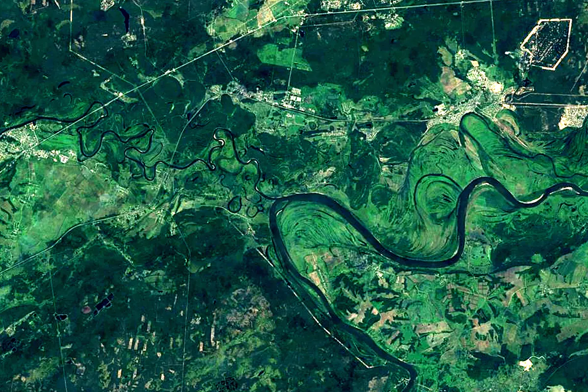
Sentinel-2 cloudless 2016 by EOX IT Services GmbH (contains modified Copernicus Sentinel data 2016), CC BY 4.0. The glowing line is the river as drawn by RiverATLAS.
Photos
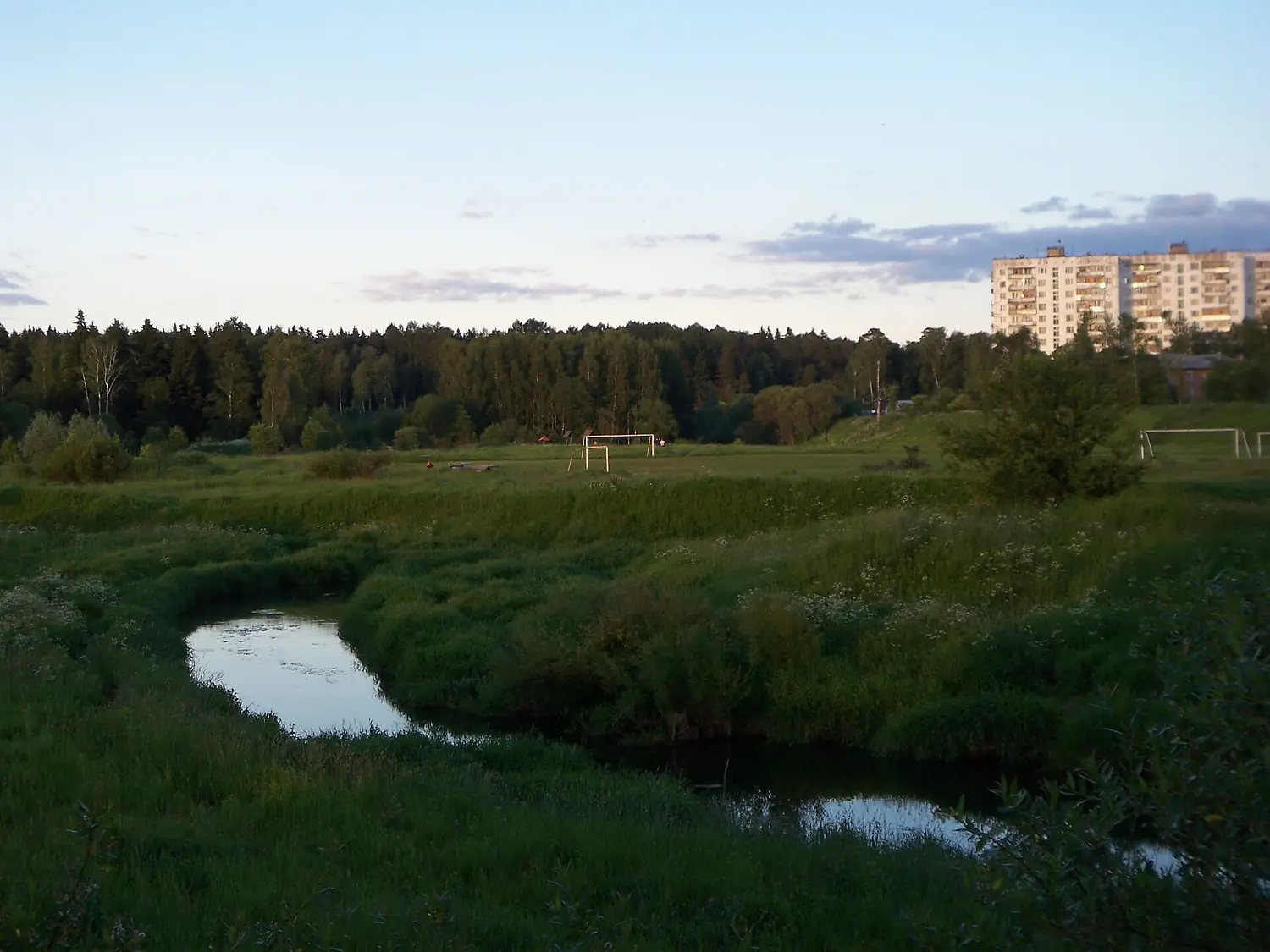
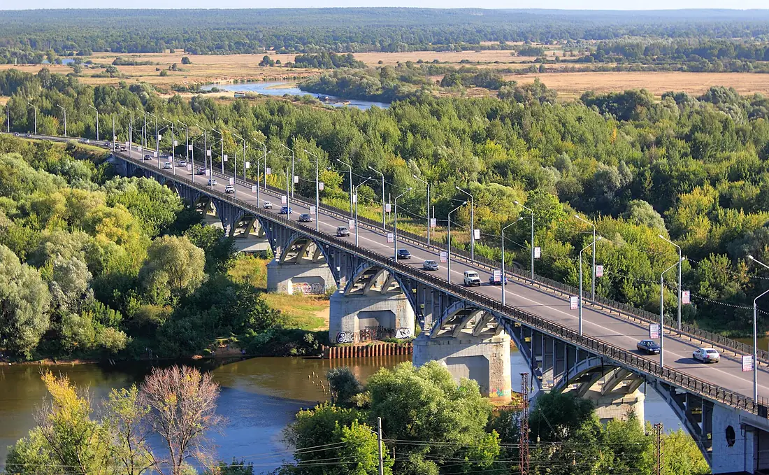
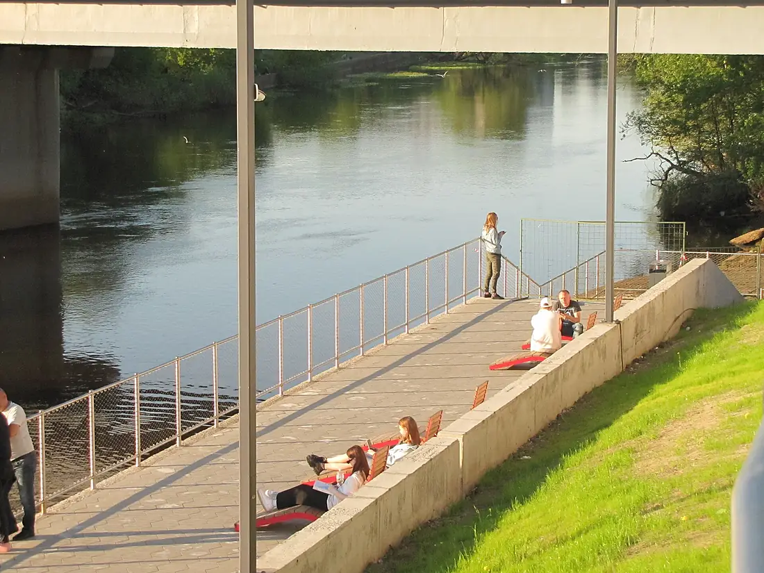
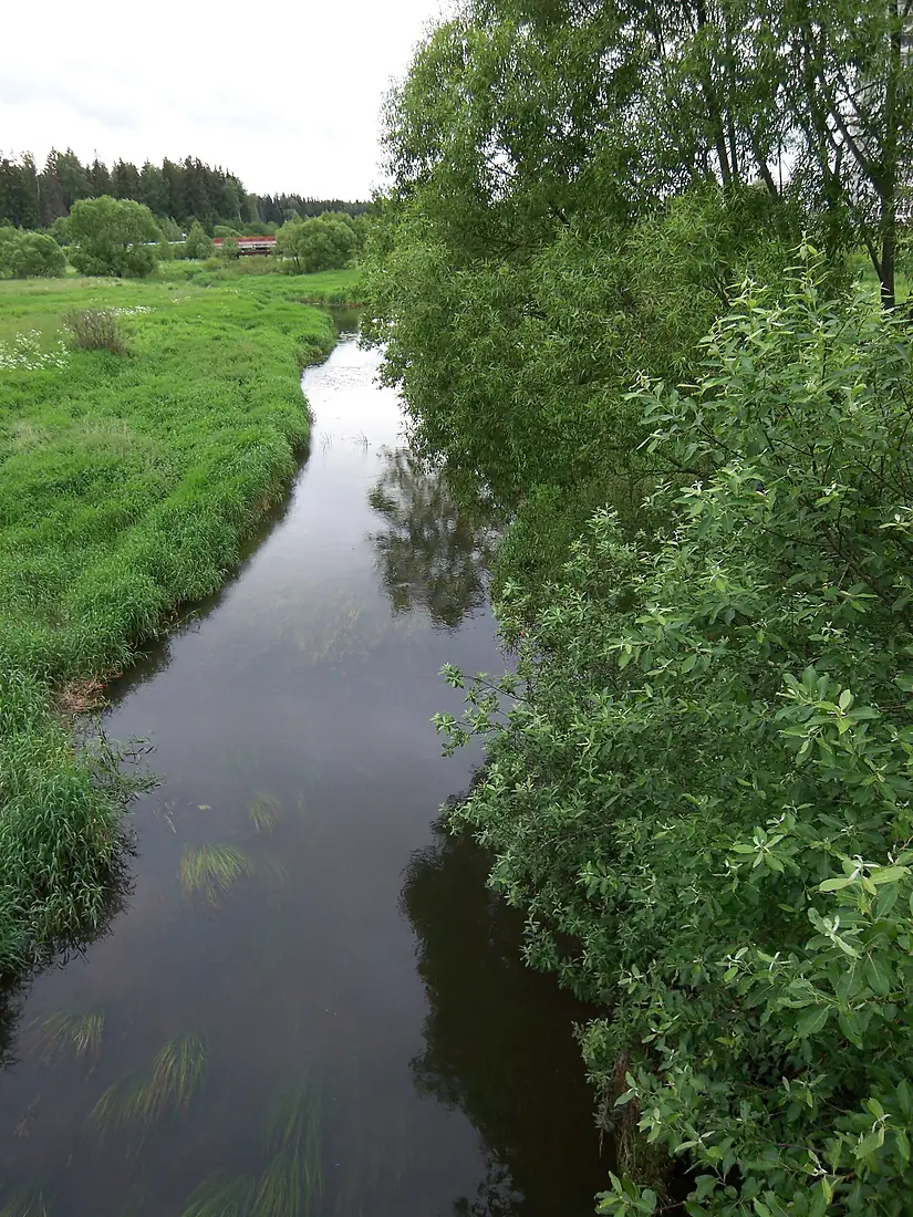
Klyazma in pictures
Tributaries
Where it flows, and what flows into it
It flows into
OkaRussia1,500 km1,300 m³/sTributaries (50)
Also: Nerl, Uvod, Teza, Kirzhach, Peksha, Vorya, Lukh, Ucha, Sherna, Sudogda, Vokhonka, Koloksha, Nerekhta, Volga, Vorsha, Istok, Mstyorka, Shizhegda, Ushcher, Bolshaya Lipnya, Bolshaya Ushma, Lyulikh, Mescherikha, Yurik
Where these numbers come from
| Name, length, places | Wikidata (Q12556970) · CC0 |
|---|---|
| Course, profile, basin | RiverATLAS v1.0 (HydroATLAS, Linke et al. 2019) · CC BY 4.0 — followed from the source to the mouth given by Wikidata |
| Flow | WaterGAP (RiverATLAS), 1971–2000 · CC BY 4.0 |
| Climate along the river | WorldClim (RiverATLAS), 1970–2000 · CC BY 4.0 |
| Towns, bridges, dams | Wikidata · CC0; GeoNames · CC BY 4.0 |
| Along the river | © OpenStreetMap contributors · ODbL |
| Images | EOX Sentinel-2 cloudless 2016 · CC BY 4.0; Wikimedia Commons |
| Our other atlases | Lakeyas — Wikidata · CC0; © OpenStreetMap contributors · ODbL; GeoNames · CC BY 4.0; HydroLAKES · CC BY 4.0; NOAA OISST |
Every source and licence is on the data sources page.
The family
Do you prefer beaches, lakes, mountains, waterfalls, islands, rivers or canyons?
Same idea, other landscapes: field atlases built on open data, month by month, in seven languages.
 beaches
 Find your beach: sea temperature, sun and swimming month by month.Visit lakes
 Every lake on Earth: water temperature, ice, depth and the shore.Coming soonVisit
  mountains
 Every summit in 3D: summit weather, the 0 °C line, huts and trails.Visit
  waterfalls
 Every waterfall: height, flow month by month and when it roars.Coming soonVisit
  islands
 Every island from the sea up: size, sea temperature, ferries and 3D.Coming soonVisit
  rivers
 Every river from source to sea: the journey, the flow and the basin in numbers.You are here
 canyons
 Every canyon cut to scale: depth to the floor, rim and floor temperatures, trails and viewpoints.Coming soonVisit