River
Moskva River
473 km from source to mouth · Russia.
 RussiaFlows into Oka
In numbers
Length
473km
Average flow
110m³/s
Basin
17,600km²
Drop
111m
from 210 m to 99 m
Country
1
The journey
From source to mouth
473 km of river and 68 stops on the way: 39 towns and cities on its banks, dams, bridges and the tributaries that feed it.
- 0 kmSourceat 210 m
- 28 kmInochtributary
- 28 kmPesochnyatributary
- 59 kmMozhaysk Reservoir25 km²
- 67 kmMozhaysk31,557 people
- 76 kmIskonatributary
- 97 kmRuzatributary
- 125 kmPoletskoe0.6 km²
- 157 kmMalodelnyatributary
- 183 kmVyazyomkatributary
- 192 kmIstratributary
- 206 kmVoronoy Brodtributary
- 213 kmKrasnogorsk196,987 people
- 216 kmKuritsatributary
- 221 kmStrogino152,000 people
- 221 kmSkhodnyatributary
- 221 kmBankatributary
- 224 kmPokrovskoye-Streshnëvo55,000 people
- 225 kmShchukino102,000 people
- 233 kmZhivopisny Bridge
- 234 kmKhoroshëvo-Mnevniki159,000 people
- 238 kmKuntsevo147,497 people
- 240 kmDavydkovo30,000 people
- 242 kmFili80,000 people
- 247 kmKhimkatributary
- 251 kmDorogomilovo68,000 people
- 253 kmPresnenskiy122,000 people
- 258 kmSetuntributary
- 259 kmRamenki District154,283 people
- 259 kmVorob’yovo30,000 people
- 259 kmLuzhniki30,000 people
- 261 kmLeninskiye Gory30,000 people
- 261 kmNovyye Cherëmushki101,000 people
- 263 kmKhamovniki District109,451 people
- 265 kmGorky Park
- 265 kmKrymsky Bridge
- 267 kmMoscow10,381,222 people
- 270 kmYauzatributary
- 270 kmZamoskvorechye District59,305 people
- 271 kmZamoskvorech’ye55,000 people
- 272 kmTaganskiy116,000 people
- 282 kmKozhukhovo50,000 people
- 284 kmTekstil’shchiki100,000 people
- 285 kmNovyye Kuz’minki143,000 people
- 287 kmLyublino172,000 people
- 290 kmKolomenskoye30,000 people
- 294 kmKur’yanovo30,000 people
- 295 kmMar’ino243,000 people
- 297 kmOrekhovo-Borisovo144,000 people
- 300 kmBrateyevo102,000 people
- 303 kmKapotnya29,594 people
- 304 kmAlekseyevka78,000 people
- 305 kmZyablikovo129,000 people
- 309 kmDzerzhinskiy41,146 people
- 309 kmDzerzhinsky47,163 people
- 313 kmGorodnyatributary
- 318 kmLytkarino50,619 people
- 326 kmPakhratributary
- 343 kmZhukovsky97,200 people
- 351 kmPekhorkatributary
- 363 kmGzhelkatributary
- 405 kmOtratributary
- 406 kmNerskayatributary
- 415 kmVoskresensk77,086 people
- 426 kmSemislavkatributary
- 431 kmMezenkatributary
- 439 kmSeverkatributary
- 448 kmKolomenkatributary
- 452 kmKolomna147,690 people
- 473 kmOkaat 99 m
Water level along the river (RiverATLAS; the height is exaggerated). Towns: GeoNames and Wikidata; bridges, dams and tributaries: Wikidata.
River in Russia, Moscow region
At the mouth it carries 109 m³/s on average: an Olympic pool every 23 seconds. It drops from 210 m to 99 m, 0.2 m per kilometre on average. Its basin covers 17,600 km², about the size of KW. 15.1 million people live in it. Highest water, with the snowmelt: from April to June; lowest: from December to March. Its dams hold back little of its water (4.8% of a year's flow).
Where to start
- MoscowLargest city on its banks · 10,381,222 people
- Sheremetyevo International Airport (SVO)Nearest airport with scheduled flights, 28 km from the city
- On the water89 ferry piers, marinas, boat rentals and boat ramps along the river (OpenStreetMap)
- From May to AugustThe best months to visit
Moskva River, month by month
Highest water: from April to June
Lowest water: from December to March. Freezing months (average below −4 °C): from December to February. Melting snow makes up much of its water. Best months to visit: from May to August.
From about 38 m³/s in the lowest month to 490 m³/s in the highest. An estimate: the monthly flow is modelled from the lowest and highest months of WaterGAP (RiverATLAS, 1971–2000) and the rain and snow along the river (WorldClim). Dams change the real rhythm. The chip is the average air temperature; below it, the month's rain.
Plan the trip
Plan the trip: boat trips, a bed by the river, a car
Some links above are affiliate links: if you book through them we may earn a commission, at no extra cost to you. It never changes what the data on this page says.
The basin
Moskva River: the basin in numbers
17,618 km² of land send their water to this river. This is what lives on it.
- 15.1millionpeople live in the basin
- 880/km²people per km²
- 181maverage altitude of the basin
- 647mmof rain a year (basin average)
- 4.6°Caverage air temperature
- 2%protected areas
- 0.8%covered by lakes
- 0.2km³held in reservoirs
What covers the basin
- 55% Forest
- 23% Cropland
- 12% Pasture
- 20% Towns and cities
RiverATLAS (HydroATLAS v1.0, CC BY 4.0): land cover, people, protected areas, glaciers and dams over the whole basin upstream of the mouth.
Along the river
Moskva River: what you find on the way
- 8Weirs
- 29LocksMoscow Canal Lock №8, Moscow Canal Lock №9, Yauza River and 26 more
- 8Waterfalls
- 6Boat ramps
- 58Ferry piersSouthern River Terminal and 57 more
- 15MarinasRiver Club Moscow, Dream Island Marina and 13 more
- 2River beaches
From OpenStreetMap, within 1.9 km of the river. Not mapped is not the same as not there.
Cross-checked with our atlases
Moskva River in our other atlases
What our sister atlases know about the waterfalls on this river, the lakes it flows through, the beaches at its mouth, the mountains where it rises and the islands off its mouth.
 2lakes on its wayLakeyas
 1mountain at the sourcePeakyas
Lakes and reservoirs (2)
Lakes it flows through, by Lakeyas
- Mozhaysk Reservoirkm 5025km²
- Poletskoekm 1050.6km²
Lakeyas is coming soonOpen Lakeyas ↗
Mountains at the source (1)
Within 15 km of the source, by Peakyas
- Zamri-Gora2.5 km away310m
From space
The source and the mouth, seen from orbit
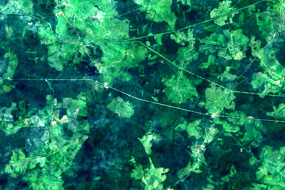
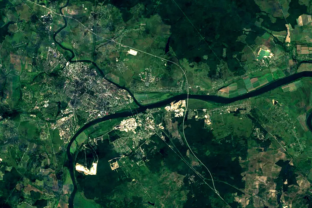
Sentinel-2 cloudless 2016 by EOX IT Services GmbH (contains modified Copernicus Sentinel data 2016), CC BY 4.0. The glowing line is the river as drawn by RiverATLAS.
Photos
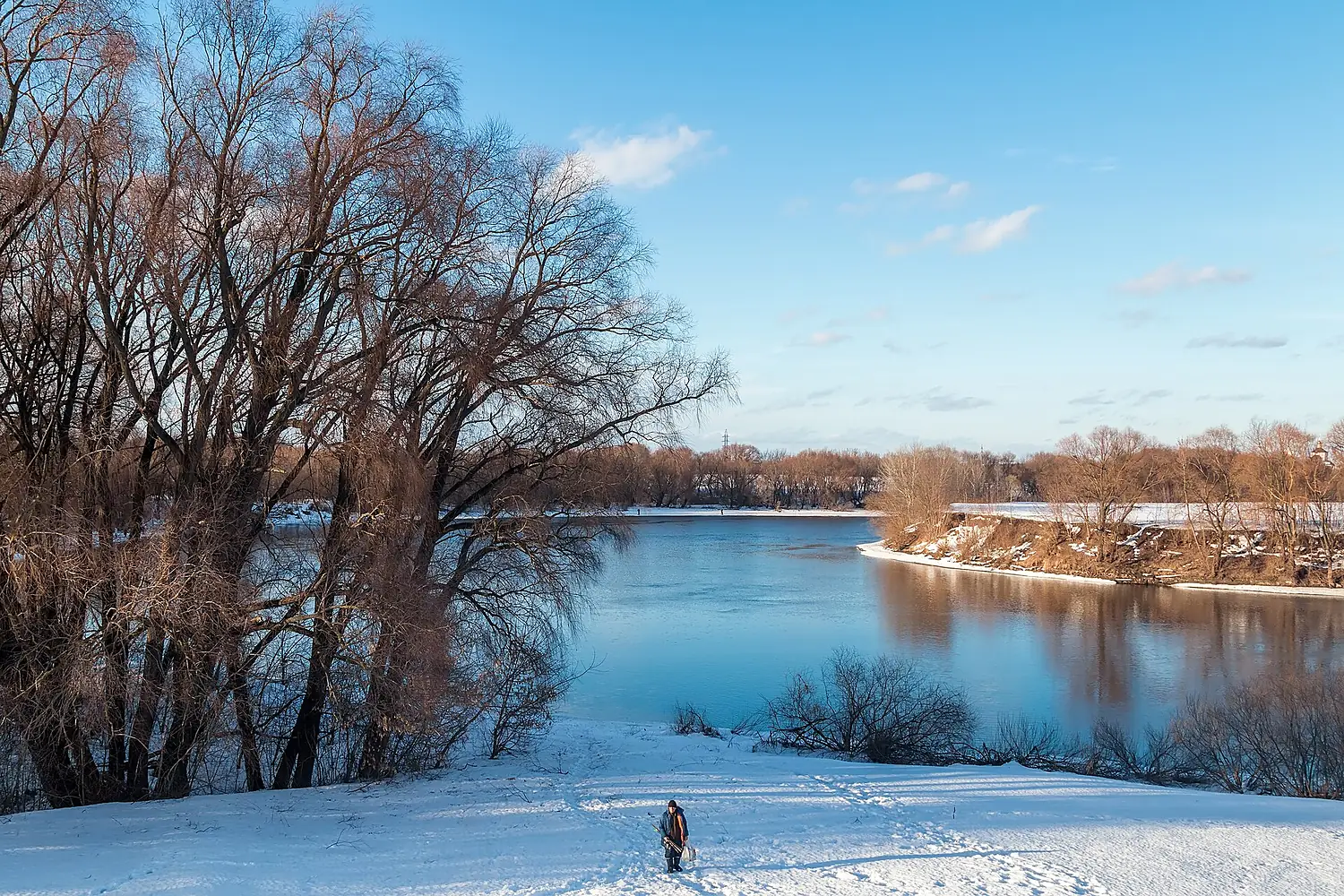
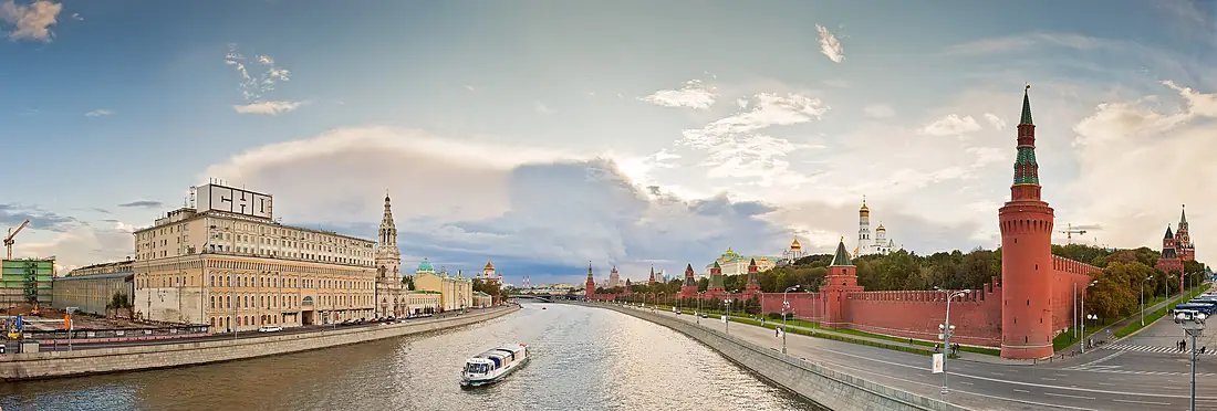
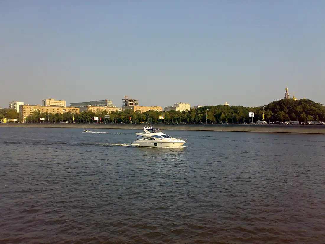
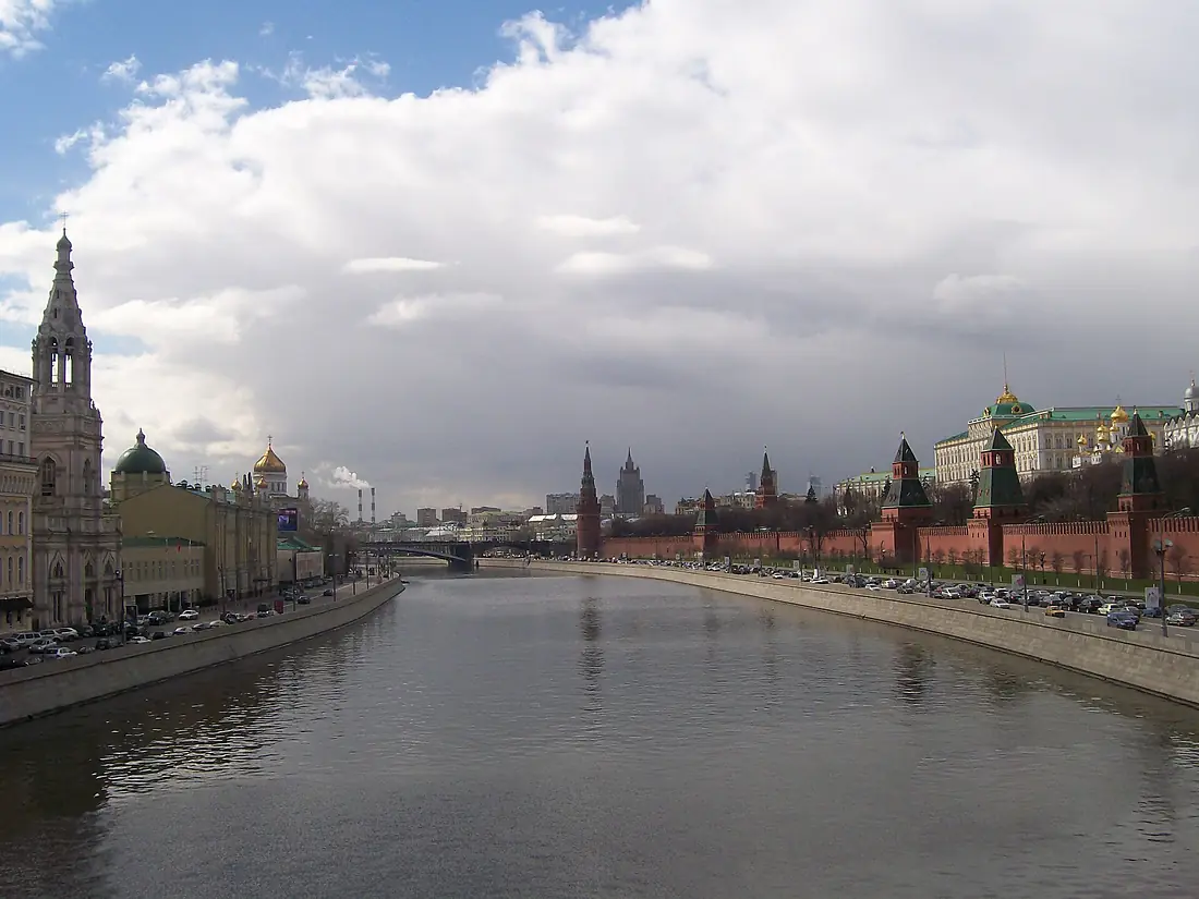
Moskva River in pictures
Tributaries
Where it flows, and what flows into it
It flows into
OkaRussia1,500 km1,300 m³/sTributaries (58)
Also: Yauza, Istra, Ruza, Pakhra, Setun, Nerskaya, Pekhorka, Skhodnya, Lipka, Medvenka, Rachka River, Presnya, Mezenka, Vyazyomka, Dubeshnya, Malodelnya, Nakhavnya, Otra, Pesochnya, Semislavka, Storozhka, Banka, Gzhelka, Gorodnya
 Ukraine
 Belarus
Where these numbers come from
| Name, length, places | Wikidata (Q175117) · CC0 |
|---|---|
| Course, profile, basin | RiverATLAS v1.0 (HydroATLAS, Linke et al. 2019) · CC BY 4.0 — followed from the source to the mouth given by Wikidata |
| Flow | WaterGAP (RiverATLAS), 1971–2000 · CC BY 4.0 |
| Climate along the river | WorldClim (RiverATLAS), 1970–2000 · CC BY 4.0 |
| Towns, bridges, dams | Wikidata · CC0; GeoNames · CC BY 4.0 |
| Along the river | © OpenStreetMap contributors · ODbL |
| Images | EOX Sentinel-2 cloudless 2016 · CC BY 4.0; Wikimedia Commons |
| Our other atlases | Lakeyas, Peakyas — Wikidata · CC0; © OpenStreetMap contributors · ODbL; GeoNames · CC BY 4.0; HydroLAKES · CC BY 4.0; NOAA OISST |
Every source and licence is on the data sources page.
The family
Do you prefer beaches, lakes, mountains, waterfalls, islands, rivers or canyons?
Same idea, other landscapes: field atlases built on open data, month by month, in seven languages.
 beaches
 Find your beach: sea temperature, sun and swimming month by month.Visit lakes
 Every lake on Earth: water temperature, ice, depth and the shore.Coming soonVisit mountains
 Every summit in 3D: summit weather, the 0 °C line, huts and trails.Visit
  waterfalls
 Every waterfall: height, flow month by month and when it roars.Coming soonVisit
  islands
 Every island from the sea up: size, sea temperature, ferries and 3D.Coming soonVisit
  rivers
 Every river from source to sea: the journey, the flow and the basin in numbers.You are here
 canyons
 Every canyon cut to scale: depth to the floor, rim and floor temperatures, trails and viewpoints.Coming soonVisit