River
Vetluga
889 km from source to mouth · Russia.
 RussiaFlows into Volga
In numbers
Length
889km
Average flow
260m³/s
Basin
39,400km²
Drop
87m
from 147 m to 60 m
Country
1
The journey
From source to mouth
889 km of river and 55 stops on the way: 2 towns and cities on its banks, dams, bridges and the tributaries that feed it.
- 0 kmSourceat 147 m
- 24 kmDarovkatributary
- 49 kmAchugtributary
- 90 kmChakhlovkatributary
- 93 kmLaptyuzhkatributary
- 93 kmPaozertributary
- 112 kmLuptyugtributary
- 115 kmKalyugtributary
- 146 kmShortyugtributary
- 157 kmSyrdenkatributary
- 157 kmVokhmatributary
- 164 kmLekomtributary
- 178 kmYakshangatributary
- 204 kmZhil'skaya Shaymatributary
- 204 kmShaymatributary
- 250 kmPyshchugtributary
- 250 kmPyzmastributary
- 257 kmBelyy Ferdostributary
- 279 kmPetrovsky Fyordostributary
- 283 kmShistomtributary
- 296 kmNyuryugtributary
- 311 kmIstomkatributary
- 324 kmBolshaya Shangatributary
- 324 kmMalaya Shangatributary
- 331 kmVetluzhskiy13,229 people
- 371 kmBolshoy Utrastributary
- 396 kmBolshaya Ichmatributary
- 418 kmBolshaya Yakshangatributary
- 427 kmNeyatributary
- 448 kmChadratributary
- 462 kmBolshaya Kakshatributary
- 462 kmLudangatributary
- 470 kmMalaya Kakshatributary
- 476 kmKrasnitsatributary
- 476 kmYuryevkatributary
- 477 kmVetluga8,455 people
- 480 kmKumyshevkatributary
- 520 kmSeplastributary
- 533 kmVoltributary
- 555 kmPizhugtributary
- 567 kmShudatributary
- 577 kmUzhgurtributary
- 610 kmLapshangatributary
- 625 kmNelidovkatributary
- 637 kmKurdomkatributary
- 646 kmKundalatributary
- 685 kmLopshangatributary
- 721 kmUstatributary
- 779 kmNolyatributary
- 779 kmYurongatributary
- 819 kmVyzhumtributary
- 819 kmIneyatributary
- 819 kmLyundatributary
- 827 kmOknatributary
- 844 kmGreat Sitotributary
- 852 kmMelkovkatributary
- 889 kmVolgaat 60 m
Water level along the river (RiverATLAS; the height is exaggerated). Towns: GeoNames and Wikidata; bridges, dams and tributaries: Wikidata.
River in Kirov, Kostroma, and Nizhny Novgorod Oblasts, Russia
At the mouth it carries 255 m³/s on average: an Olympic pool every 9.8 seconds. It drops from 147 m to 60 m, 0.1 m per kilometre on average. Its basin covers 39,400 km², about the size of CH. 260,000 people live in it. Highest water: from April to June; lowest: from December to March. No large dam holds it back: it is one of the world's free-flowing rivers.
Where to start
- VetluzhskiyLargest city on its banks · 13,229 people
- From June to AugustThe best months to visit
Vetluga, month by month
Highest water: from April to June
Lowest water: from December to March. Freezing months (average below −4 °C): from November to March. Best months to visit: from June to August.
From about 30 m³/s in the lowest month to 580 m³/s in the highest. An estimate: the monthly flow is modelled from the lowest and highest months of WaterGAP (RiverATLAS, 1971–2000) and the rain and snow along the river (WorldClim). Dams change the real rhythm. The chip is the average air temperature; below it, the month's rain.
Plan the trip
Plan the trip: boat trips, a bed by the river, a car
Some links above are affiliate links: if you book through them we may earn a commission, at no extra cost to you. It never changes what the data on this page says.
The basin
Vetluga: the basin in numbers
38,938 km² of land send their water to this river. This is what lives on it.
- 260,000people live in the basin
- 7/km²people per km²
- 140maverage altitude of the basin
- 613mmof rain a year (basin average)
- 2.8°Caverage air temperature
- 3%protected areas
- 0.1%covered by lakes
What covers the basin
- 81% Forest
- 12% Cropland
- 4% Pasture
RiverATLAS (HydroATLAS v1.0, CC BY 4.0): land cover, people, protected areas, glaciers and dams over the whole basin upstream of the mouth.
Along the river
Vetluga: what you find on the way
- 2Weirs
- 1River beaches
From OpenStreetMap, within 2.2 km of the river. Not mapped is not the same as not there.
From space
The source and the mouth, seen from orbit
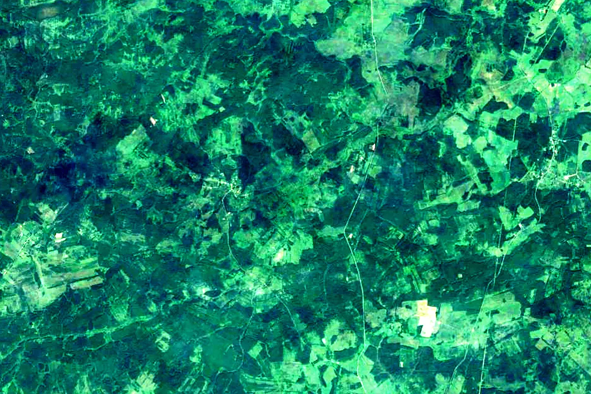
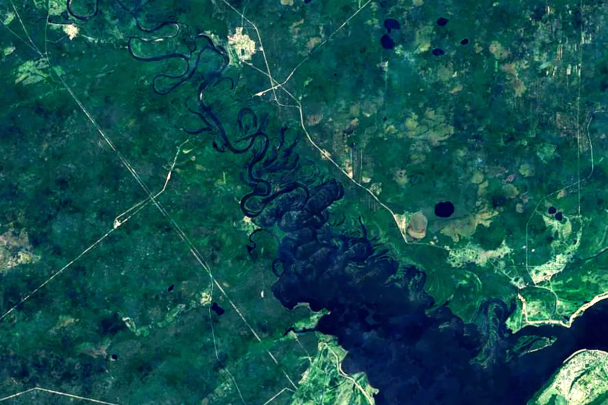
Sentinel-2 cloudless 2016 by EOX IT Services GmbH (contains modified Copernicus Sentinel data 2016), CC BY 4.0. The glowing line is the river as drawn by RiverATLAS.
Photos
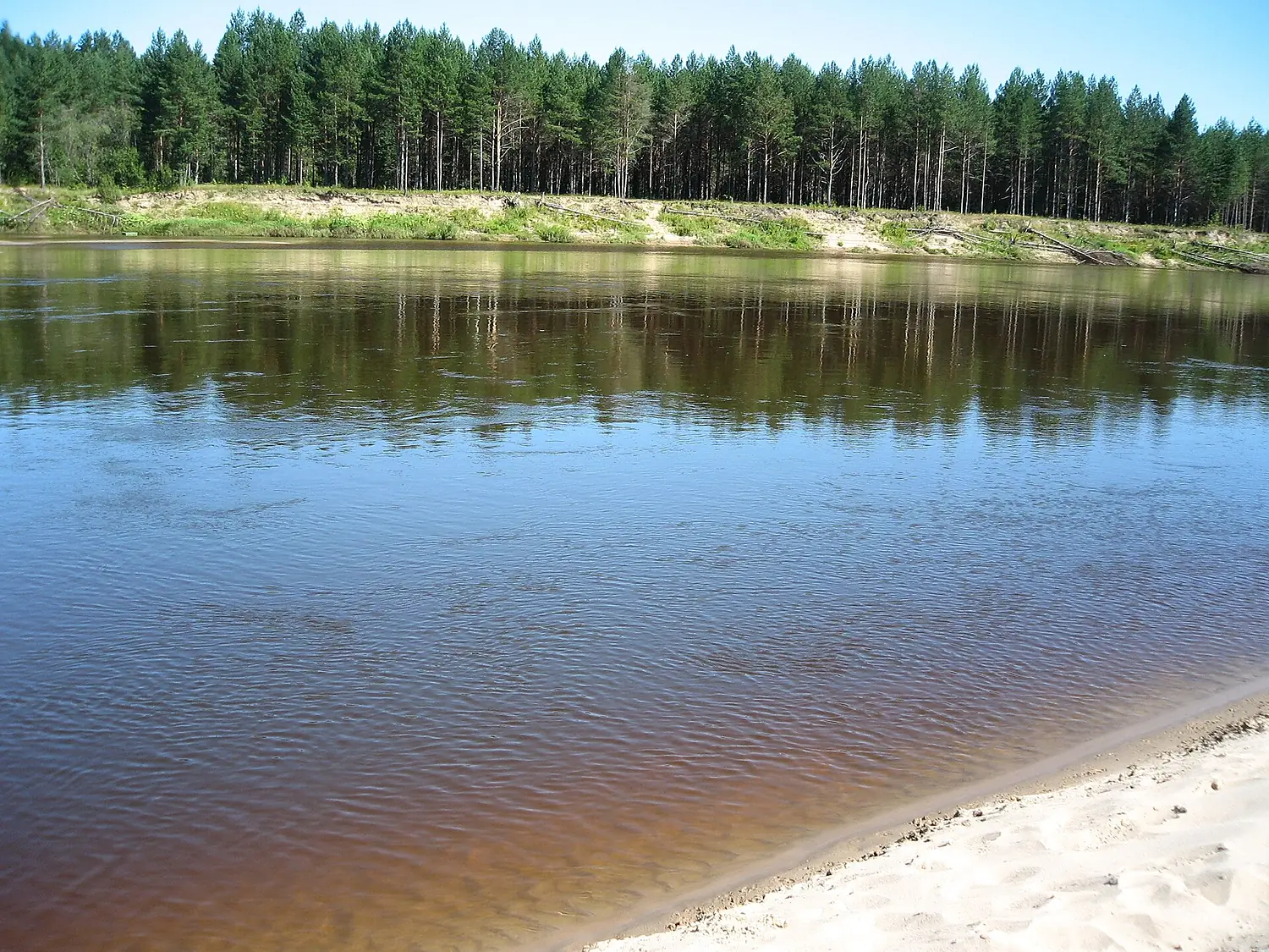
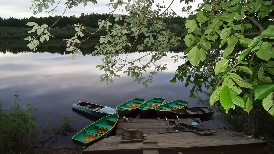
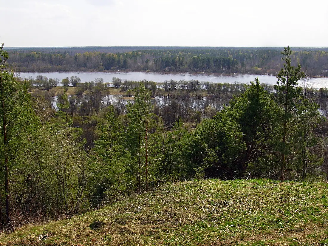
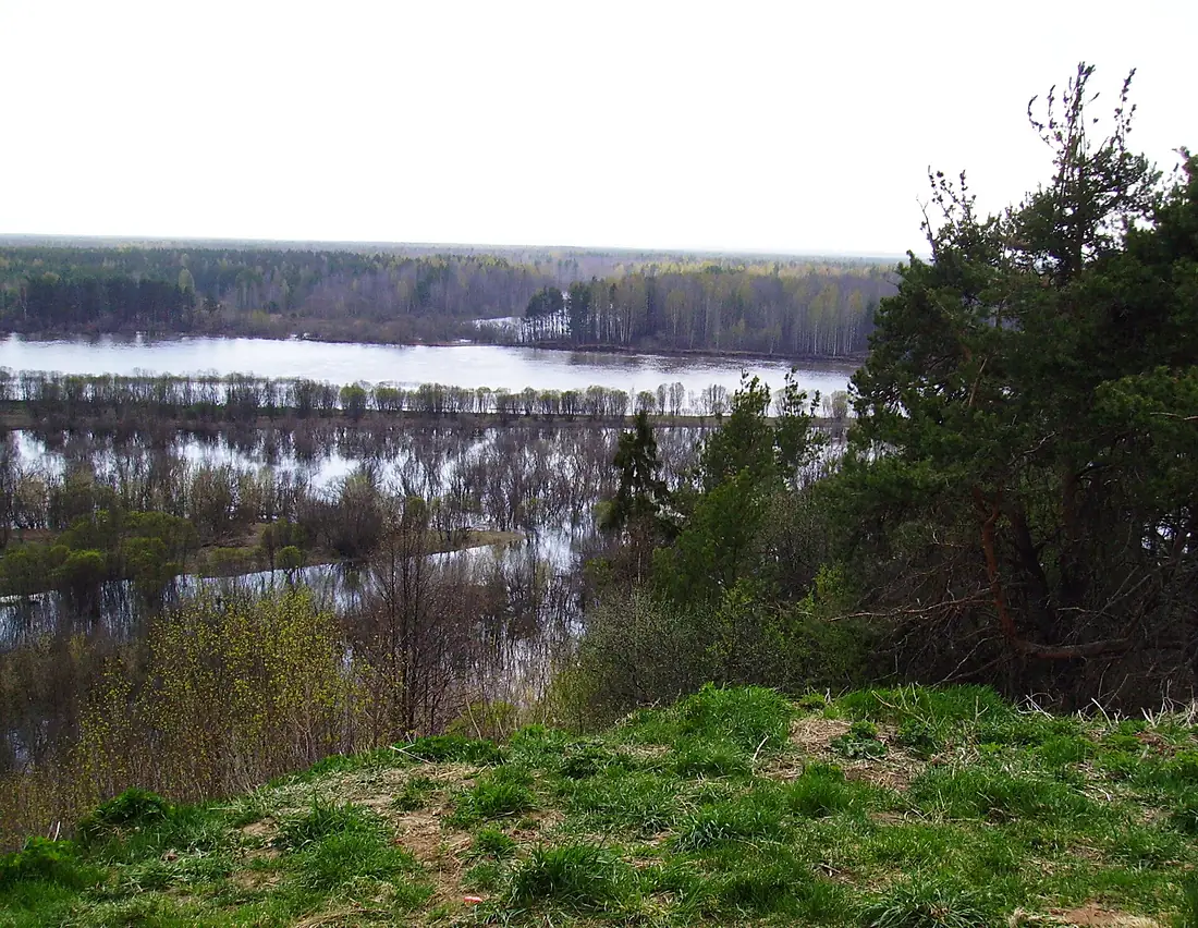
Vetluga in pictures
Tributaries
Where it flows, and what flows into it
It flows into
VolgaRussia3,530 km8,100 m³/sTributaries (72)
Also: Usta, Vokhma, Bolshaya Kaksha, Lyunda, Yuronga, Luptyug, Malaya Kaksha, Neya, Pizhug, Bolshaya Shanga, Bolshaya Yakshanga, Bolshoy Utras, Kundala, Kurdomka, Lapshanga, Nyuryug, Paozer, Petrovsky Fyordos, Pyshchug, Shistom, Yakshanga, Lopshanga, Lekom, Achug
Nearby
Rivers nearby
Where these numbers come from
| Name, length, places | Wikidata (Q467419) · CC0 |
|---|---|
| Course, profile, basin | RiverATLAS v1.0 (HydroATLAS, Linke et al. 2019) · CC BY 4.0 — followed from the source to the mouth given by Wikidata |
| Flow | WaterGAP (RiverATLAS), 1971–2000 · CC BY 4.0 |
| Climate along the river | WorldClim (RiverATLAS), 1970–2000 · CC BY 4.0 |
| Towns, bridges, dams | Wikidata · CC0; GeoNames · CC BY 4.0 |
| Along the river | © OpenStreetMap contributors · ODbL |
| Images | EOX Sentinel-2 cloudless 2016 · CC BY 4.0; Wikimedia Commons |
Every source and licence is on the data sources page.
The family
Do you prefer beaches, lakes, mountains, waterfalls, islands, rivers or canyons?
Same idea, other landscapes: field atlases built on open data, month by month, in seven languages.
 beaches
 Find your beach: sea temperature, sun and swimming month by month.Visit
  lakes
lakes Every lake on Earth: water temperature, ice, depth and the shore.Coming soonVisit
  mountains
 Every summit in 3D: summit weather, the 0 °C line, huts and trails.Visit
  waterfalls
 Every waterfall: height, flow month by month and when it roars.Coming soonVisit
  islands
 Every island from the sea up: size, sea temperature, ferries and 3D.Coming soonVisit
  rivers
 Every river from source to sea: the journey, the flow and the basin in numbers.You are here
 canyons
 Every canyon cut to scale: depth to the floor, rim and floor temperatures, trails and viewpoints.Coming soonVisit