River
Sura
841 km from source to mouth · Russia.
 RussiaFlows into Volga
In numbers
Length
841km
Average flow
260m³/s
Basin
67,500km²
Drop
184m
from 244 m to 60 m
Country
1
The journey
From source to mouth
841 km of river and 63 stops on the way: 5 towns and cities on its banks, dams, bridges and the tributaries that feed it.
- 0 kmSourceat 244 m
- 23 kmKachimkatributary
- 38 kmShkudimkatributary
- 45 kmTruyovtributary
- 58 kmTeshnyartributary
- 73 kmKatmisstributary
- 85 kmKadadatributary
- 96 kmYulovkatributary
- 118 kmIshimkatributary
- 125 kmShnaevotributary
- 127 kmKoldaistributary
- 144 kmUzatributary
- 163 kmSura Reservoir86 km²
- 178 kmPenzatributary
- 197 kmBessonovka9,880 people
- 197 kmVyadyatributary
- 207 kmKoloyarkatributary
- 239 kmLunino8,214 people
- 241 kmIvanyrstributary
- 242 kmShukshatributary
- 264 kmAyvatributary
- 270 kmPeletmatributary
- 282 kmVyastributary
- 304 kmInzatributary
- 328 kmSinyashtributary
- 352 kmBolshaya Kshatributary
- 352 kmNerleykatributary
- 375 kmArgashtributary
- 375 kmChermeleytributary
- 409 kmTalatributary
- 409 kmShtyrmatributary
- 422 kmLashatributary
- 445 kmCheberchinkatributary
- 468 kmPromzatributary
- 484 kmBaryshtributary
- 489 kmBolshaya Sarkatributary
- 505 kmMalaya Sarkatributary
- 510 kmKuvaldatributary
- 522 kmBezdnatributary
- 524 kmAlatyr’42,156 people
- 525 kmAlatyr32,265 people
- 537 kmLyulyatributary
- 545 kmAtratkatributary
- 545 kmIchiksatributary
- 555 kmKarmalatributary
- 587 kmElkhovkatributary
- 592 kmKiryatributary
- 592 kmMenyatributary
- 605 kmKishatributary
- 632 kmAlgashkatributary
- 644 kmMysletstributary
- 660 kmKumazhanatributary
- 671 kmMedyanatributary
- 683 kmUrevkatributary
- 699 kmPyanatributary
- 725 kmKhondortributary
- 733 kmKurmyshkatributary
- 737 kmOzero Paskhovo0.5 km²
- 745 kmUrgatributary
- 751 kmYadrin10,735 people
- 762 kmVylatributary
- 811 kmSemyankatributary
- 812 kmChugunkatributary
- 812 kmOgnevka Rivertributary
- 841 kmVolgaat 60 m
Water level along the river (RiverATLAS; the height is exaggerated). Towns: GeoNames and Wikidata; bridges, dams and tributaries: Wikidata.
River in Russia, tributary of Volga
At the mouth it carries 260 m³/s on average: an Olympic pool every 9.6 seconds. It drops from 244 m to 60 m, 0.2 m per kilometre on average. Its basin covers 67,500 km², about the size of LK. 2.2 million people live in it. Highest water, with the snowmelt: from April to May; lowest: from December to March. No large dam holds it back: it is one of the world's free-flowing rivers.
Where to start
- PenzaLargest city on its banks · 523,553 people
- Penza Airport (PEZ)Nearest airport with scheduled flights, 10 km from the city
- On the water6 ferry piers, marinas, boat rentals and boat ramps along the river (OpenStreetMap)
- From May to AugustThe best months to visit
Sura, month by month
Highest water: from April to May
Lowest water: from December to March. Freezing months (average below −4 °C): from December to March. Melting snow makes up much of its water. Best months to visit: from May to August.
From about 39 m³/s in the lowest month to 1,600 m³/s in the highest. An estimate: the monthly flow is modelled from the lowest and highest months of WaterGAP (RiverATLAS, 1971–2000) and the rain and snow along the river (WorldClim). Dams change the real rhythm. The chip is the average air temperature; below it, the month's rain.
Plan the trip
Plan the trip: boat trips, a bed by the river, a car
Some links above are affiliate links: if you book through them we may earn a commission, at no extra cost to you. It never changes what the data on this page says.
The basin
Sura: the basin in numbers
67,240 km² of land send their water to this river. This is what lives on it.
- 2.2millionpeople live in the basin
- 33/km²people per km²
- 195maverage altitude of the basin
- 551mmof rain a year (basin average)
- 4.1°Caverage air temperature
- 5%protected areas
- 0.3%covered by lakes
What covers the basin
- 25% Forest
- 48% Cropland
- 16% Pasture
- 1% Towns and cities
RiverATLAS (HydroATLAS v1.0, CC BY 4.0): land cover, people, protected areas, glaciers and dams over the whole basin upstream of the mouth.
Along the river
Sura: what you find on the way
- 6Weirs
- 4Ferry piers
- 1Marinas
- 6River beaches
From OpenStreetMap, within 2.3 km of the river. Not mapped is not the same as not there.
Cross-checked with our atlases
Sura in our other atlases
What our sister atlases know about the waterfalls on this river, the lakes it flows through, the beaches at its mouth, the mountains where it rises and the islands off its mouth.
 2lakes on its wayLakeyas
Lakes and reservoirs (2)
Lakes it flows through, by Lakeyas
- Sura Reservoirkm 14786km²
- Ozero Paskhovokm 6650.5km²
Lakeyas is coming soonOpen Lakeyas ↗
From space
The source and the mouth, seen from orbit
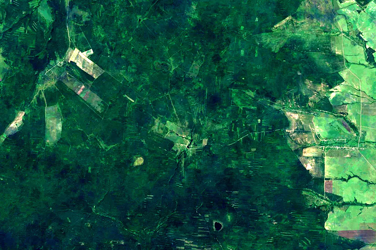
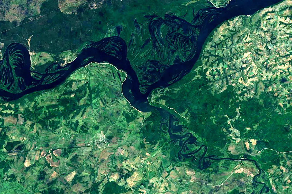
Sentinel-2 cloudless 2016 by EOX IT Services GmbH (contains modified Copernicus Sentinel data 2016), CC BY 4.0. The glowing line is the river as drawn by RiverATLAS.
Photos
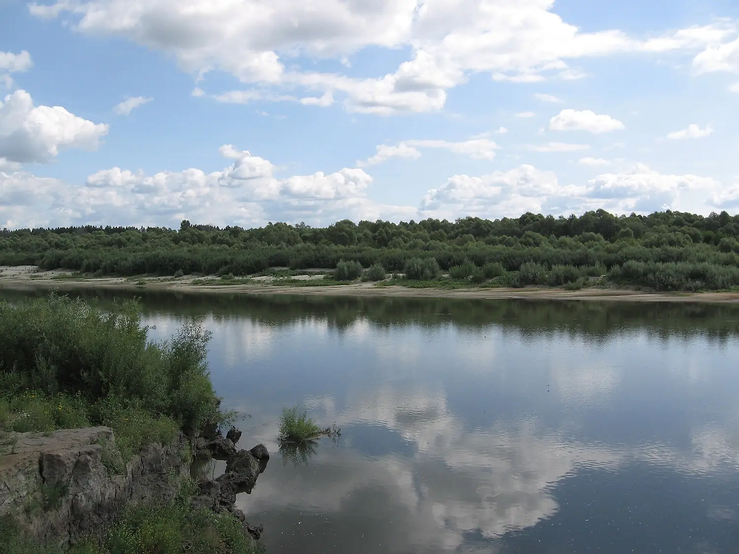
Sura in pictures
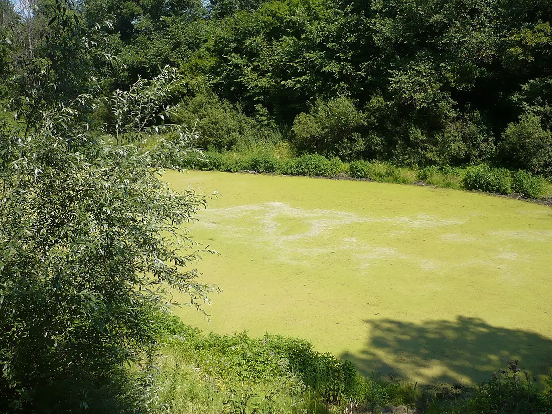
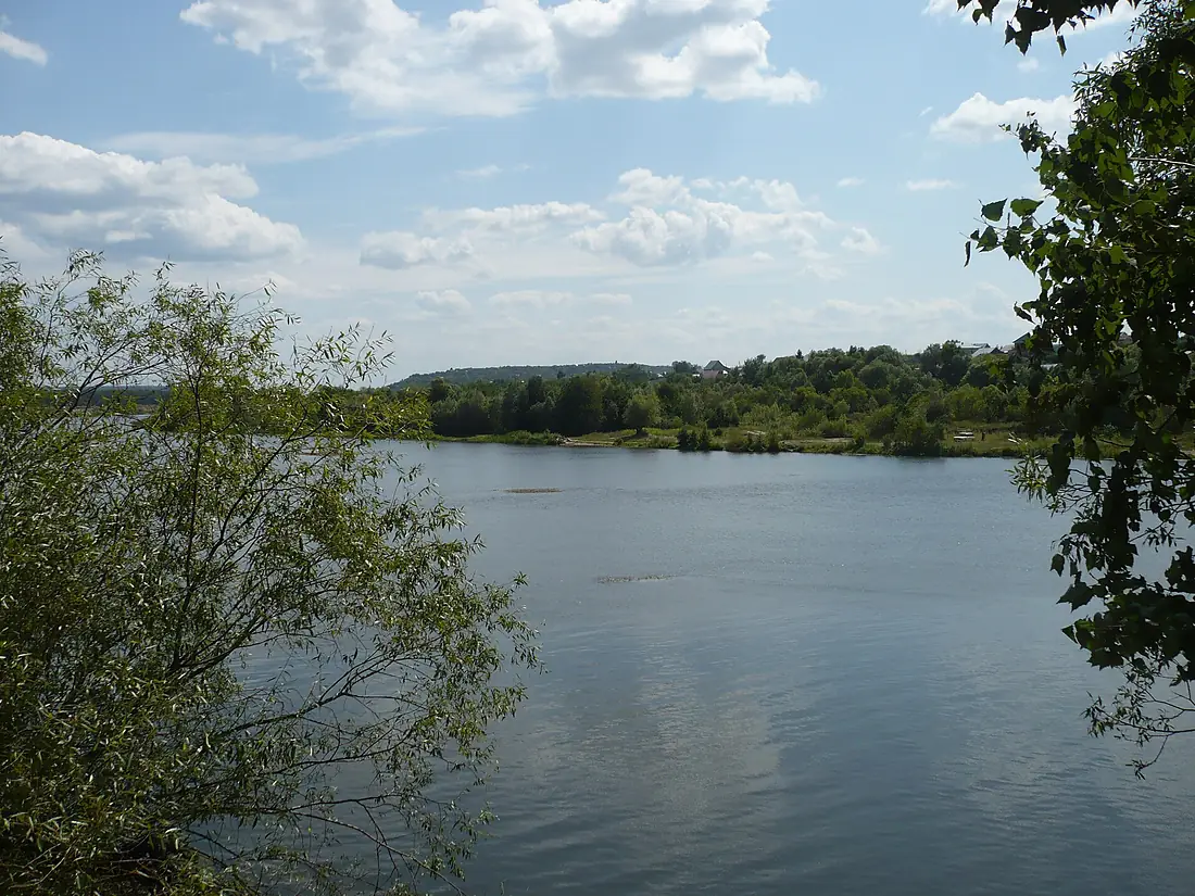
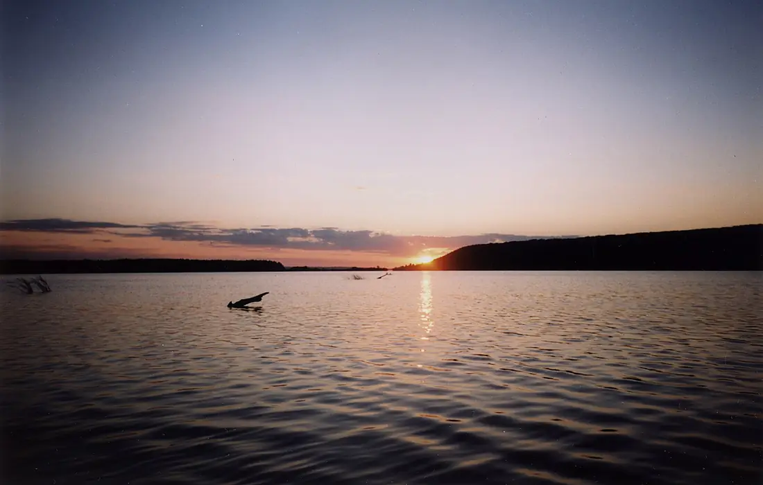
Tributaries
Where it flows, and what flows into it
It flows into
VolgaRussia3,530 km8,100 m³/sTributaries (77)
Also: Alatyr, Pyana, Barysh, Kadada, Bezdna, Uza, Yulovka, Bolshaya Ksha, Vyas, Kirya, Malaya Sarka, Sinyash, Teshnyar, Shtyrma, Chermeley, Lyulya, Kumazhana, Argash, Bolshaya Sarka, Vyadya, Ivanyrs, Karmala, Katmiss, Kisha
Nearby
Rivers nearby
Russia889 km260 m³/s38 km awayOkaRussia1,500 km1,300 m³/s126 km awayKlyazmaRussia686 km150 m³/s186 km awayKamaRussia1,805 km4,100 m³/s264 km awayMokshaRussia656 km95 m³/s301 km awayVyatkaRussia1,314 km890 m³/s349 km awayCheptsaRussia501 km130 m³/s364 km awaySamaraRussia594 km50 m³/s419 km awayWhere these numbers come from
| Name, length, places | Wikidata (Q209891) · CC0 |
|---|---|
| Course, profile, basin | RiverATLAS v1.0 (HydroATLAS, Linke et al. 2019) · CC BY 4.0 — followed from the source to the mouth given by Wikidata |
| Flow | WaterGAP (RiverATLAS), 1971–2000 · CC BY 4.0 |
| Climate along the river | WorldClim (RiverATLAS), 1970–2000 · CC BY 4.0 |
| Towns, bridges, dams | Wikidata · CC0; GeoNames · CC BY 4.0 |
| Along the river | © OpenStreetMap contributors · ODbL |
| Images | EOX Sentinel-2 cloudless 2016 · CC BY 4.0; Wikimedia Commons |
| Our other atlases | Lakeyas — Wikidata · CC0; © OpenStreetMap contributors · ODbL; GeoNames · CC BY 4.0; HydroLAKES · CC BY 4.0; NOAA OISST |
Every source and licence is on the data sources page.
The family
Do you prefer beaches, lakes, mountains, waterfalls, islands, rivers or canyons?
Same idea, other landscapes: field atlases built on open data, month by month, in seven languages.
 beaches
 Find your beach: sea temperature, sun and swimming month by month.Visit lakes
 Every lake on Earth: water temperature, ice, depth and the shore.Coming soonVisit
  mountains
 Every summit in 3D: summit weather, the 0 °C line, huts and trails.Visit
  waterfalls
 Every waterfall: height, flow month by month and when it roars.Coming soonVisit
  islands
 Every island from the sea up: size, sea temperature, ferries and 3D.Coming soonVisit
  rivers
 Every river from source to sea: the journey, the flow and the basin in numbers.You are here
 canyons
 Every canyon cut to scale: depth to the floor, rim and floor temperatures, trails and viewpoints.Coming soonVisit