River
Bistrița River
272 km from source to mouth · Romania.
 RomaniaFlows into Siret River10th longest in Romania
In numbers
Length
272km
Average flow
66m³/s
Basin
7,900km²
Drop
902m
from 1,039 m to 137 m
Country
1
The journey
From source to mouth
272 km of river and 33 stops on the way: 28 towns and cities on its banks, dams, bridges and the tributaries that feed it.
- 0 kmSourceat 1,039 m
- 40 kmIacobeni3,836 people
- 52 kmDorna Rivertributary
- 52 kmVatra Dornei16,054 people
- 97 kmBroşteni6,578 people
- 98 kmBroșteni5,179 people
- 111 kmBorca6,556 people
- 116 kmFărcaşa3,173 people
- 132 kmPoiana Teiului5,145 people
- 136 kmBistricioara Rivertributary
- 143 kmHangu4,046 people
- 157 kmLake Izvorul Muntelui20 km²
- 160 kmBicaz8,340 people
- 161 kmBicaz Rivertributary
- 166 kmTarcău3,504 people
- 177 kmViişoara5,014 people
- 187 kmPiatra Neamţ102,688 people
- 197 kmDumbrava Roşie7,104 people
- 200 kmPiatra Şoimului7,848 people
- 202 kmSăvineşti6,012 people
- 207 kmRoznov8,688 people
- 207 kmSlobozia3,136 people
- 208 kmCracău Rivertributary
- 210 kmZăneşti6,077 people
- 211 kmRuseni3,415 people
- 216 kmPodoleni5,520 people
- 222 kmCostişa3,540 people
- 230 kmBuhuşi18,395 people
- 236 kmRacova3,488 people
- 255 kmMărgineni-Munteni8,033 people
- 258 kmBacău136,087 people
- 262 kmLetea Veche4,893 people
- 265 kmUngureni3,728 people
- 269 kmTamaşi6,330 people
- 272 kmSiret Riverat 137 m
Water level along the river (RiverATLAS; the height is exaggerated). Towns: GeoNames and Wikidata; bridges, dams and tributaries: Wikidata.
River in Romania, tributary to Siret River
At the mouth it carries 66 m³/s on average: an Olympic pool every 38 seconds. It drops from 1,039 m to 137 m, 3.3 m per kilometre on average. Its basin covers 7,900 km², about the size of PR. 497,000 people live in it. Highest water: May and July; lowest: from December to February. It is heavily dammed: reservoirs can hold 59% of a year's flow.
Where to start
- BacăuLargest city on its banks · 136,087 people
- Bacău George Enescu International Airport (BCM)Nearest airport with scheduled flights, 5 km from the cityCar hire at BCM airport (Bacău)Discover Cars · Affiliate link↗
- On the water2 ferry piers, marinas, boat rentals and boat ramps along the river (OpenStreetMap)
- From June to SeptemberThe best months to visit
Bistrița River, month by month
Highest water: May and July
Lowest water: from December to February. Freezing months (average below −4 °C): January. Best months to visit: from June to September.
From about 6.2 m³/s in the lowest month to 270 m³/s in the highest. An estimate: the monthly flow is modelled from the lowest and highest months of WaterGAP (RiverATLAS, 1971–2000) and the rain and snow along the river (WorldClim). Dams change the real rhythm. The chip is the average air temperature; below it, the month's rain.
Plan the trip
Plan the trip: boat trips, a bed by the river, a car
Some links above are affiliate links: if you book through them we may earn a commission, at no extra cost to you. It never changes what the data on this page says.
The basin
Bistrița River: the basin in numbers
7,018 km² of land send their water to this river. This is what lives on it.
- 497,000people live in the basin
- 72/km²people per km²
- 918maverage altitude of the basin
- 701mmof rain a year (basin average)
- 5.6°Caverage air temperature
- 8%protected areas
- 0.4%covered by lakes
- 1.2km³held in reservoirs
What covers the basin
- 83% Forest
- 10% Cropland
- 13% Pasture
- 2% Towns and cities
RiverATLAS (HydroATLAS v1.0, CC BY 4.0): land cover, people, protected areas, glaciers and dams over the whole basin upstream of the mouth.
Along the river
Bistrița River: what you find on the way
- 3Weirs
- 3Locks
- 1WaterfallsCascada Pufu
- 2MarinasPort Bicaz, La Ponton
From OpenStreetMap, within 1.7 km of the river. Not mapped is not the same as not there.
Cross-checked with our atlases
Bistrița River in our other atlases
What our sister atlases know about the waterfalls on this river, the lakes it flows through, the beaches at its mouth, the mountains where it rises and the islands off its mouth.
 1lake on its wayLakeyas
 8mountains at the sourcePeakyas
Lakes and reservoirs (1)
Lakes it flows through, by Lakeyas
- Lake Izvorul Munteluikm 15520km²
Lakeyas is coming soonOpen Lakeyas ↗
Mountains at the source (8)
Within 15 km of the source, by Peakyas
- Ineu9.9 km away2,278m
- Ineuț9.8 km away2,057m
- Omu12 km away2,043m
- Roșu11 km away1,977m
- Stănițoarei13 km away1,603m
- Ciarcănul11 km away
- Fluturica11 km away
- Vârful Omului14 km away
From space
The source and the mouth, seen from orbit
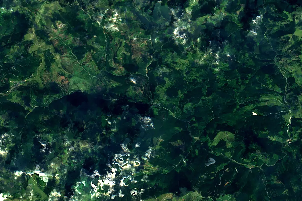
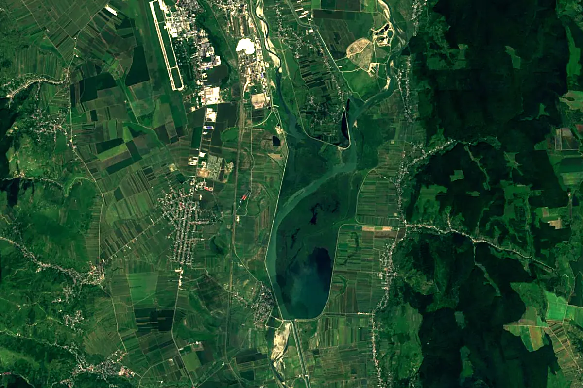
Sentinel-2 cloudless 2016 by EOX IT Services GmbH (contains modified Copernicus Sentinel data 2016), CC BY 4.0. The glowing line is the river as drawn by RiverATLAS.
Photos
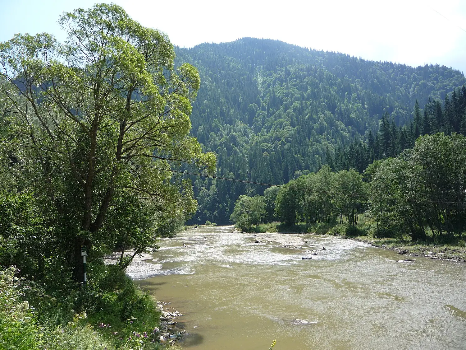
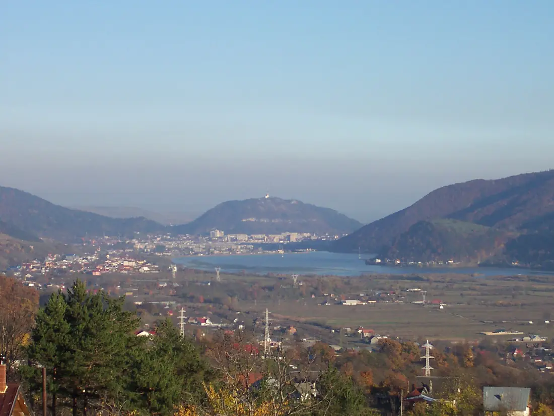
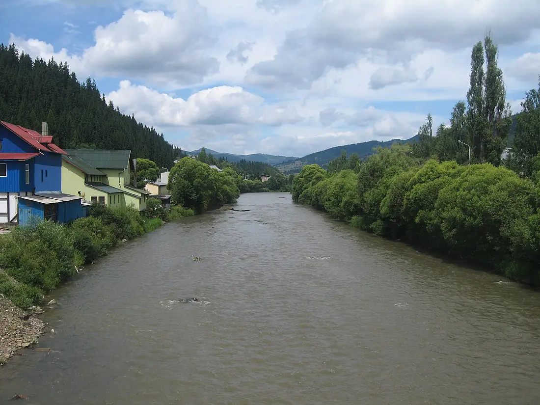
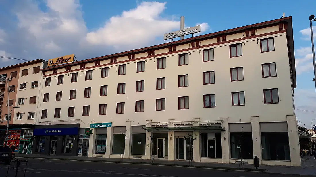
Bistrița River in pictures
Tributaries
Where it flows, and what flows into it
It flows into
Siret RiverRomania740 km230 m³/sTributaries (58)
Also: Bicaz River, Cracău River, Dorna River, Bistricioara River, Buda River, Țibău River, Blăgești River, Dragova River, Broșteni River, Trebiș River, Afinișul River, Crasnița River, Calul River, Crasna River, Câlneș River, Doamna River, Afinetu River, Agârcia River, Bretila River, Bârjaba River, Bârnaru River, Bârnărel River, Chilii River, Cuejdiu River
 Serbia
 Croatia
 Germany
 Austria
Nearby
Rivers nearby
Romania205 km32 m³/s47 km awayJijia RiverRomania275 km160 m³/s98 km awayPrut Moldova953 km120 m³/s150 km awayBârlad RiverRomania207 km9.0 m³/s106 km awaySuceava RiverRomania160 km20 m³/s119 km awayDanubeRomania2,850 km5,400 m³/s253 km awayBuzău RiverRomania325 km28 m³/s134 km awayRăutMoldova286 km320 m³/s187 km away
Where these numbers come from
| Name, length, places | Wikidata (Q767793) · CC0 |
|---|---|
| Course, profile, basin | RiverATLAS v1.0 (HydroATLAS, Linke et al. 2019) · CC BY 4.0 — followed along the river network from the point given by Wikidata |
| Flow | WaterGAP (RiverATLAS), 1971–2000 · CC BY 4.0 |
| Climate along the river | WorldClim (RiverATLAS), 1970–2000 · CC BY 4.0 |
| Towns, bridges, dams | Wikidata · CC0; GeoNames · CC BY 4.0 |
| Along the river | © OpenStreetMap contributors · ODbL |
| Images | EOX Sentinel-2 cloudless 2016 · CC BY 4.0; Wikimedia Commons |
| Our other atlases | Lakeyas, Peakyas — Wikidata · CC0; © OpenStreetMap contributors · ODbL; GeoNames · CC BY 4.0; HydroLAKES · CC BY 4.0; NOAA OISST |
Every source and licence is on the data sources page.
The family
Do you prefer beaches, lakes, mountains, waterfalls, islands, rivers or canyons?
Same idea, other landscapes: field atlases built on open data, month by month, in seven languages.
 beaches
 Find your beach: sea temperature, sun and swimming month by month.Visit lakes
 Every lake on Earth: water temperature, ice, depth and the shore.Coming soonVisit mountains
 Every summit in 3D: summit weather, the 0 °C line, huts and trails.Visit
  waterfalls
 Every waterfall: height, flow month by month and when it roars.Coming soonVisit
  islands
 Every island from the sea up: size, sea temperature, ferries and 3D.Coming soonVisit
  rivers
 Every river from source to sea: the journey, the flow and the basin in numbers.You are here
 canyons
 Every canyon cut to scale: depth to the floor, rim and floor temperatures, trails and viewpoints.Coming soonVisit