River
Jizera
167 km from source to mouth · Czechia.
 CzechiaFlows into Elbe7th longest in Czechia
In numbers
Length
167km
Average flow
100m³/s
Basin
2,193km²
Drop
314m
from 483 m to 169 m
Country
1
The journey
From source to mouth
167 km of river and 68 stops on the way: 26 towns and cities on its banks, dams, bridges and the tributaries that feed it.
- 0 kmJizera Mountainsat 483 m
- 0 kmVodopád Jizery
- 0 kmroad bridge in Kořenov
- 0 kmJizera Railway Bridge
- 0 kmKořenov1,014 people
- 0 kmold bridge Kořenov–Mýto
- 0 kmCharles Bridge
- 0 kmPilařova kaskáda
- 0 kmHarrachov1,388 people
- 2 kmVodopády Klokotivého potoka3 m
- 3 kmVodopád Prudkého ručeje8 m
- 5 kmBridge over the Jizera in Vilémov
- 8 kmRokytnice nad Jizerou2,478 people
- 8 kmFootbridge Dolní Rokytnice - Zadní Blansko
- 9 kmBridge Jablonec nad Jizerou - Blansko
- 10 kmVysoké nad Jizerou1,363 people
- 10 kmJablonec nad Jizerou1,609 people
- 12 kmRailway bridge Na Kruhách, Jablonec nad Jizerou
- 14 kmRailway bridge in Hradsko
- 15 kmBridge over the Jizera in Hradsko
- 15 kmBridge over the Jizera under the Nístějka Castle
- 15 kmRailway bridge in Maříkov
- 17 kmFootbridge to Poniklá zastávka
- 17 kmPoniklá1,106 people
- 18 kmCentral footbridge Poniklá - Přívlaka
- 19 kmFootbridge Poniklá - Přívlaka
- 20 kmRoad bridge in Poniklá
- 22 kmBridge of the road 292 in Horní Sytová
- 22 kmJizerkatributary
- 25 kmPeřimovský most
- 26 kmPeřimov283 people
- 27 kmJez Háje nad Jizerou - Dolní Sytová
- 28 kmBridge Háje nad Jizerou - Splzy
- 32 kmBysterský věšadlový most
- 34 kmValdice1,459 people
- 35 kmBenešov u Semil864 people
- 37 kmBenešov u Semil, visutá lávka
- 37 kmGolfová lávka
- 40 kmSemily8,022 people
- 40 kmBridge of Tyršova street in Semily
- 40 kmfootbridge Ostrov–Řeky over the Jizera in Semily,
- 41 kmweir on Jizera in Semily, km 105,7
- 42 kmOleškatributary
- 46 kmKamenicetributary
- 51 kmŽelezný Brod6,043 people
- 56 kmSplzovský vodopád4 m
- 59 kmMalá Skála1,255 people
- 72 kmTurnov14,577 people
- 73 kmweir Turnov II
- 73 kmOhrazenice1,055 people
- 80 kmLibuňkatributary
- 81 kmPříšovice1,277 people
- 81 kmVelký Písečák0.4 km²
- 81 kmŽďár1,181 people
- 86 kmŽehrovkatributary
- 93 kmMohelkatributary
- 98 kmMnichovo Hradiště9,048 people
- 106 kmBakov nad Jizerou5,355 people
- 111 kmKosmonosy3,822 people
- 119 kmVaňkův jez
- 119 kmMladá Boleslav47,346 people
- 124 kmKlenicetributary
- 140 kmBenátky nad Jizerou7,879 people
- 149 kmPředměřice nad Jizerou1,020 people
- 150 kmroad bridge over the Jizera between Tuřice and Předměřice nad Jizerou
- 151 kmTuřice516 people
- 164 kmČelákovice12,474 people
- 164 kmLázně Toušeň1,500 people
- 167 kmBrandýs nad Labem-Stará Boleslav20,926 people
- 167 kmElbeat 169 m
Water level along the river (RiverATLAS; the height is exaggerated). Towns: GeoNames and Wikidata; bridges, dams and tributaries: Wikidata.
River in Czechia
At the mouth it carries 100 m³/s on average: an Olympic pool every 25 seconds. It drops from 483 m to 169 m, 1.9 m per kilometre on average. Its basin covers 2,193 km², about the size of KM. 1.6 million people live in it. Highest water: May and from July to August; lowest: February. Its dams hold back little of its water (3.8% of a year's flow).
Where to start
- Mladá BoleslavLargest city on its banks · 47,346 people
- Václav Havel Airport Prague (PRG)Nearest airport with scheduled flights, 58 km from the cityCar hire at PRG airport (Prague)Discover Cars · Affiliate link↗
- On the water20 ferry piers, marinas, boat rentals and boat ramps along the river (OpenStreetMap)
- Kayak and canoe4 put-ins and rapids mapped (OpenStreetMap)
- From May to SeptemberThe best months to visit
Jizera, month by month
Highest water: May and from July to August
Lowest water: February. Best months to visit: from May to September.
From about 54 m³/s in the lowest month to 230 m³/s in the highest. An estimate: the monthly flow is modelled from the lowest and highest months of WaterGAP (RiverATLAS, 1971–2000) and the rain and snow along the river (WorldClim). Dams change the real rhythm. The chip is the average air temperature; below it, the month's rain.
Plan the trip
Plan the trip: boat trips, a bed by the river, a car
Some links above are affiliate links: if you book through them we may earn a commission, at no extra cost to you. It never changes what the data on this page says.
The basin
Jizera: the basin in numbers
13,005 km² of land send their water to this river. This is what lives on it.
- 1.6millionpeople live in the basin
- 122/km²people per km²
- 390maverage altitude of the basin
- 612mmof rain a year (basin average)
- 7.4°Caverage air temperature
- 14%protected areas
- 0.3%covered by lakes
- 0.1km³held in reservoirs
What covers the basin
- 38% Forest
- 40% Cropland
- 10% Pasture
- 5% Towns and cities
RiverATLAS (HydroATLAS v1.0, CC BY 4.0): land cover, people, protected areas, glaciers and dams over the whole basin upstream of the mouth.
Along the river
Jizera: what you find on the way
- 91Weirsjez, MVE Semily-Řeky, Železný Brod and 88 more
- 1Locks
- 8WaterfallsDolánecký vodopád and 7 more
- 3RapidsPeřej Paraplíčko
- 1Canoe put-ins
- 7Boat rampsKlokoci.cz, Maloskalsko and 5 more
- 3Ferry piersČelákovice
- 2MarinasPřístaviště Brandýs nad Labem - Stará Boleslav
- 2River beachesNa Kamínkách
From OpenStreetMap, within 1.9 km of the river. Not mapped is not the same as not there.
Cross-checked with our atlases
Jizera in our other atlases
What our sister atlases know about the waterfalls on this river, the lakes it flows through, the beaches at its mouth, the mountains where it rises and the islands off its mouth.
 5waterfalls on the riverCascadyas
 1lake on its wayLakeyas
 57mountains at the sourcePeakyas
Waterfalls (5)
On the river, by Cascadyas
- Vodopád Jizerykm 0
- Pilařova kaskádakm 0
- Vodopády Klokotivého potokakm 23m
- Vodopád Prudkého ručejekm 28m
- Splzovský vodopádkm 434m
Cascadyas is coming soonOpen Cascadyas ↗
Lakes and reservoirs (1)
Lakes it flows through, by Lakeyas
- Velký Písečákkm 620.4km²
Lakeyas is coming soonOpen Lakeyas ↗
Mountains at the source (57)
Within 15 km of the source, by Peakyas
- Smrk1.9 km away · prominence 184 m1,124m
- Wysoka Kopa9.5 km away1,128m
- Jizera5.2 km away · prominence 238 m1,122m
- Stóg Izerski1.8 km away1,105m
- Smědavská hora4.4 km away1,084m
- Sine Skałki8.3 km away1,122m
- Wysoki Kamień14 km away1,058m
- Złote Jamy8.8 km away1,087m
49 more on PeakyasOpen Peakyas ↗
From space
The source and the mouth, seen from orbit
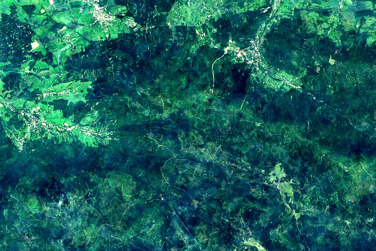
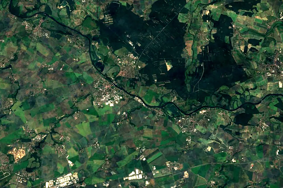
Sentinel-2 cloudless 2016 by EOX IT Services GmbH (contains modified Copernicus Sentinel data 2016), CC BY 4.0. The glowing line is the river as drawn by RiverATLAS.
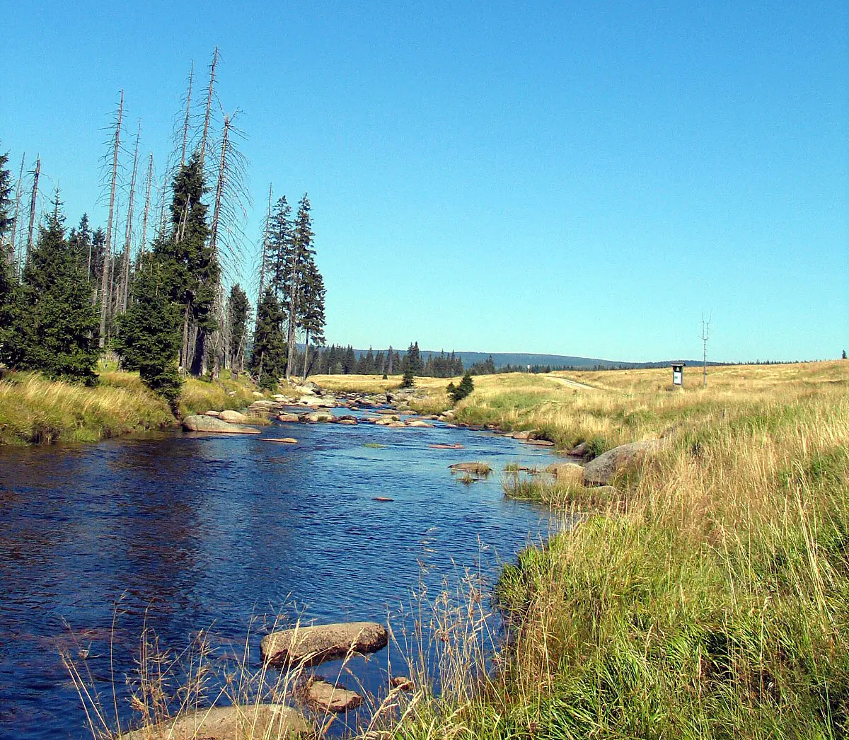
Photos
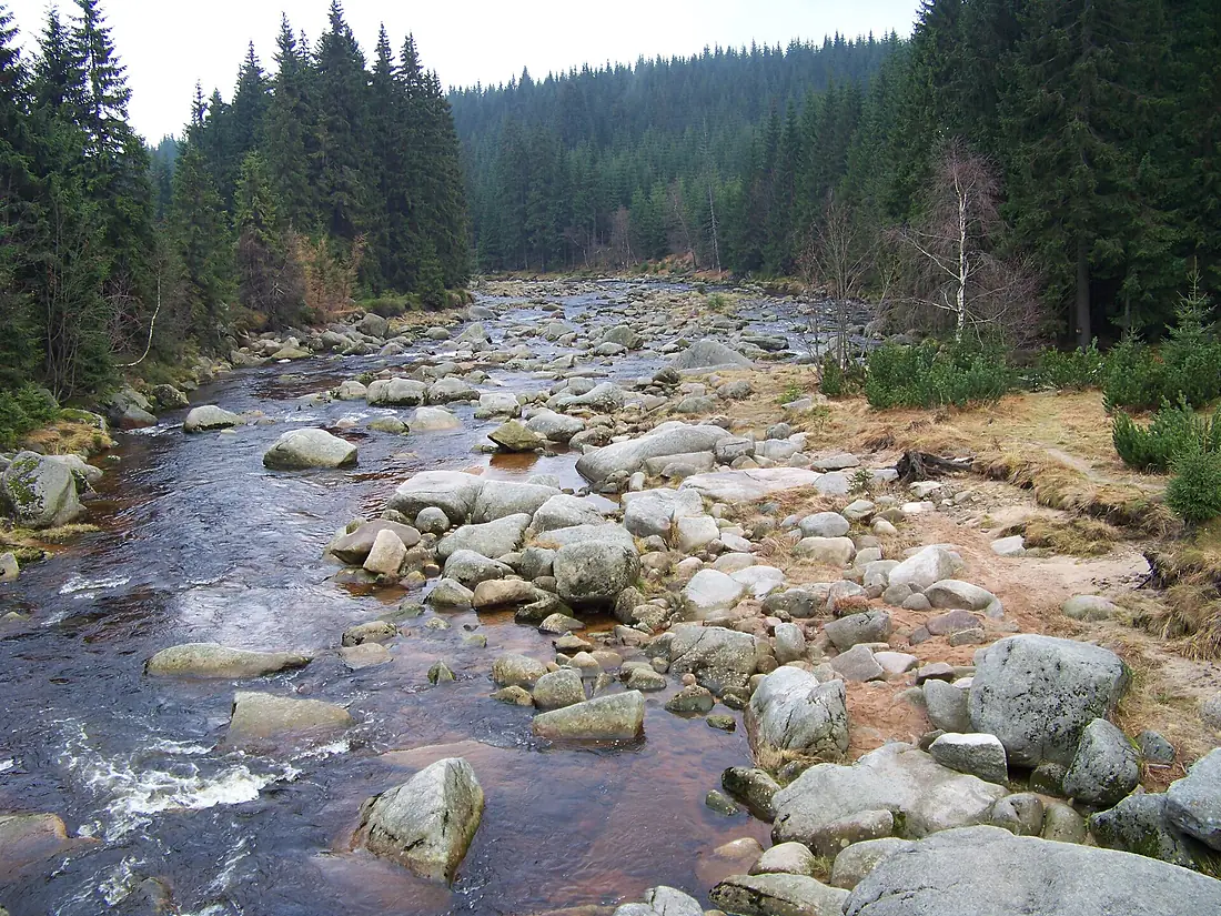
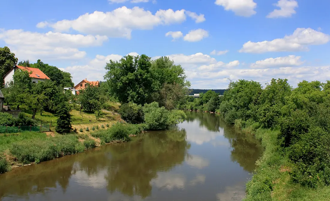
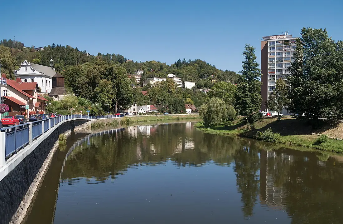
Jizera in pictures
Tributaries
Where it flows, and what flows into it
Tributaries (17)
Also: Kamenice, Mumlava, Mohelka, Oleška, Jizerka, Libuňka, Jizerka, Žehrovka, Zábrdka, Klenice, Chuchelský potok, Vazovecký potok, Strenický potok, Nedbalka, Veselka, Žernovník, Stebenka
 Germany
Nearby
Rivers nearby
Where these numbers come from
| Name, length, places | Wikidata (Q582675) · CC0 |
|---|---|
| Course, profile, basin | RiverATLAS v1.0 (HydroATLAS, Linke et al. 2019) · CC BY 4.0 — followed from the source to the mouth given by Wikidata |
| Flow | WaterGAP (RiverATLAS), 1971–2000 · CC BY 4.0 |
| Climate along the river | WorldClim (RiverATLAS), 1970–2000 · CC BY 4.0 |
| Towns, bridges, dams | Wikidata · CC0; GeoNames · CC BY 4.0 |
| Along the river | © OpenStreetMap contributors · ODbL |
| Images | EOX Sentinel-2 cloudless 2016 · CC BY 4.0; Wikimedia Commons |
| Our other atlases | Cascadyas, Lakeyas, Peakyas — Wikidata · CC0; © OpenStreetMap contributors · ODbL; GeoNames · CC BY 4.0; HydroLAKES · CC BY 4.0; NOAA OISST |
Every source and licence is on the data sources page.
The family
Do you prefer beaches, lakes, mountains, waterfalls, islands, rivers or canyons?
Same idea, other landscapes: field atlases built on open data, month by month, in seven languages.
 beaches
 Find your beach: sea temperature, sun and swimming month by month.Visit lakes
 Every lake on Earth: water temperature, ice, depth and the shore.Coming soonVisit mountains
 Every summit in 3D: summit weather, the 0 °C line, huts and trails.Visit waterfalls
 Every waterfall: height, flow month by month and when it roars.Coming soonVisit
  islands
 Every island from the sea up: size, sea temperature, ferries and 3D.Coming soonVisit
  rivers
 Every river from source to sea: the journey, the flow and the basin in numbers.You are here
 canyons
 Every canyon cut to scale: depth to the floor, rim and floor temperatures, trails and viewpoints.Coming soonVisit